
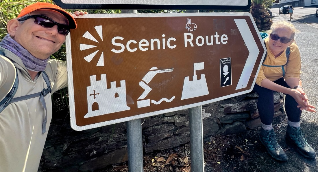
Over twenty days in the late summer of 2026, we hiked from Land’s End to Plymouth along the South West Coast Path, thus completing South Cornwall’s coast path. We arrived at Land’s End on 25 August 2026, and finished walking in Plymouth on 15 September. We planned and booked everything ourselves. We used the Trailblazer guidebook, booked BnBs/Pubs/Hotels as close as possible to the trail in November 2025, and used Luggage Transfer Ltd to move our two bags between each accommodation.
Below is a table summarizing each day. After that are my reflections on this walk and what’s next, followed by the list of blogs. You can enlarge the Google map for a closer look at the route we actually took.
Summary
| # | Photograph | Destination | Miles | Feet ascent | Highlights |
|---|---|---|---|---|---|
| -1 | 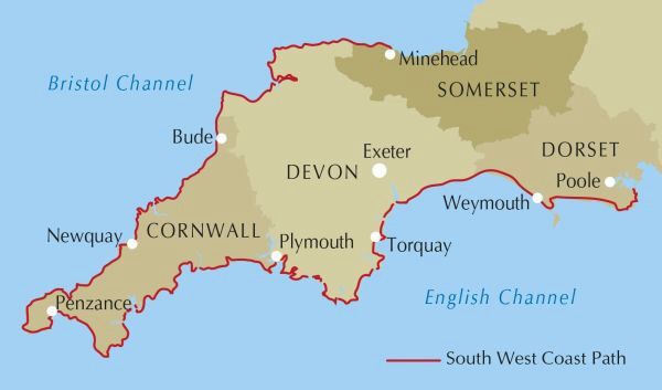 | Cornwall! | Intro: South West Coast Path: Here We Come! | ||
| 0 | 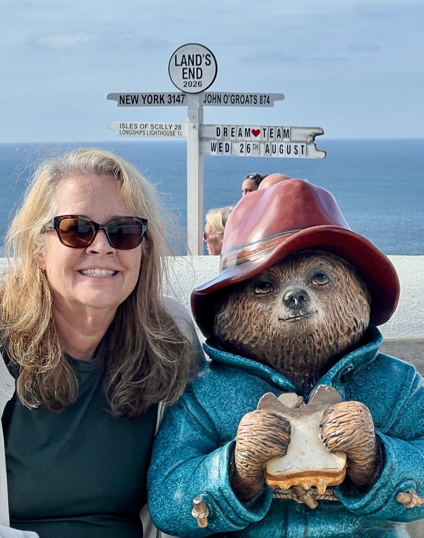 | Land’s End Hotel | Plane with cancellation, bus, train, and taxi. Fighting jet lag, great views, seagulls, Land’s End to ourselves after the crowds left. | ||
| 1 | 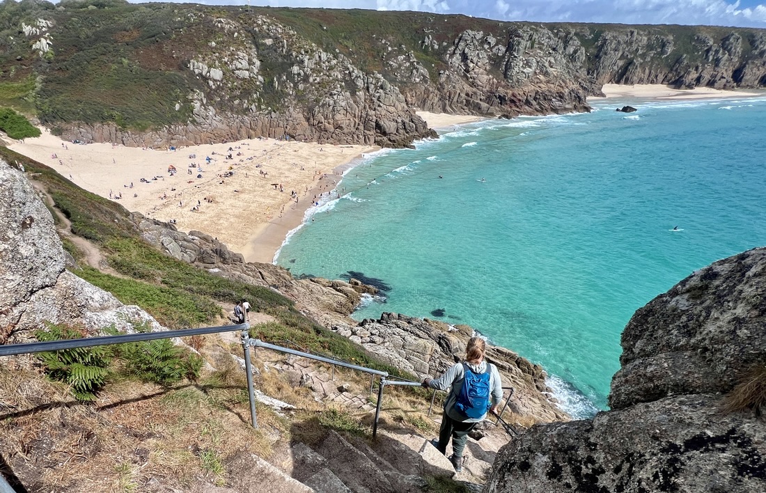 | The Studio, Treen | 6.7 | 1411 | Cliffs, islands, coves, choughs, cows, blackberries, Minack Theatre, fix own dinner/breakfast in great studio. |
| 2 | 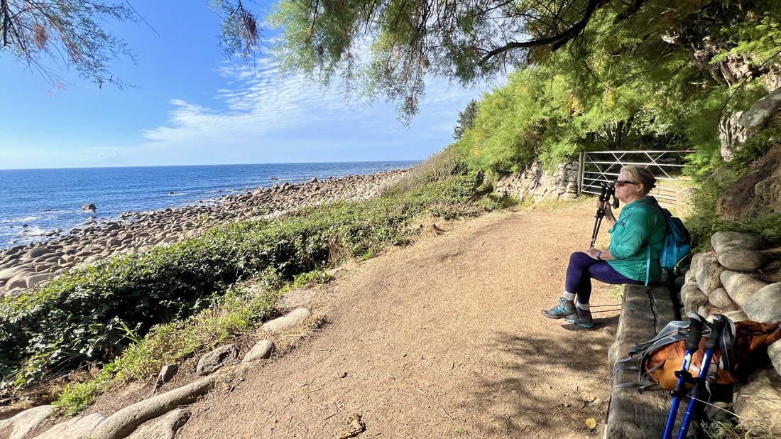 | Old Coastguard, Mousehole | 9.4 | 2136 | Rugged and rocky path, fishing villages, gorse, Penlee Lifeboat memorial. Most tiring day. View of island in rain from hotel. |
| 3 | 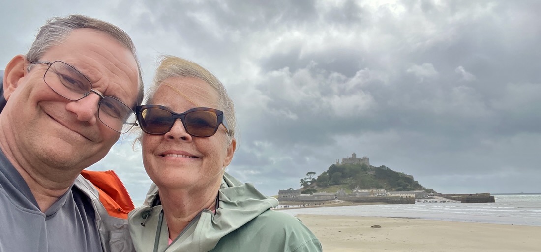 | Godolphin Hotel, Marazion | 7.0 | 387 | Light rain, road walking, Penlee Lifeboat station, Newlyn, Quavers and iced buns, Penzance swimming pool, crab-loaded chips, St Michael’s Mount and tides. |
| 4 | 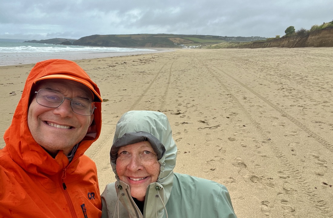 | Kota Rooms, Porthleven | 11.2 | 1886 | Path’s great walkability, agriculture, old buildings, long lunch at Praa Sands during heavy rain, beach walk, unstable cliffs, old mining buildings. Small bedroom, bar’s live music and 5am soloist outside window. |
| 5 | 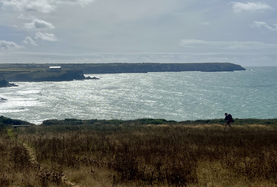 | Polurrian, Mullion | 7.5 | 1283 | Ready to walk 14 miles rather than 2×7, and want to skip waiting for 9am breakfast. Wide open vistas, path dancing along top of stable cliff, St Winwaloe’s Church of the Storms, Marconi monument, fine hotel. Large dining room to ourselves. |
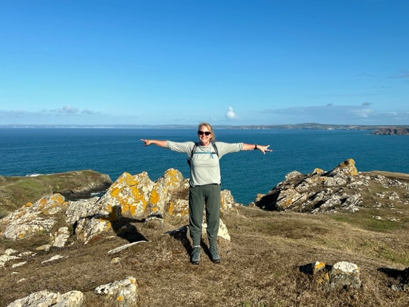
| 6 | 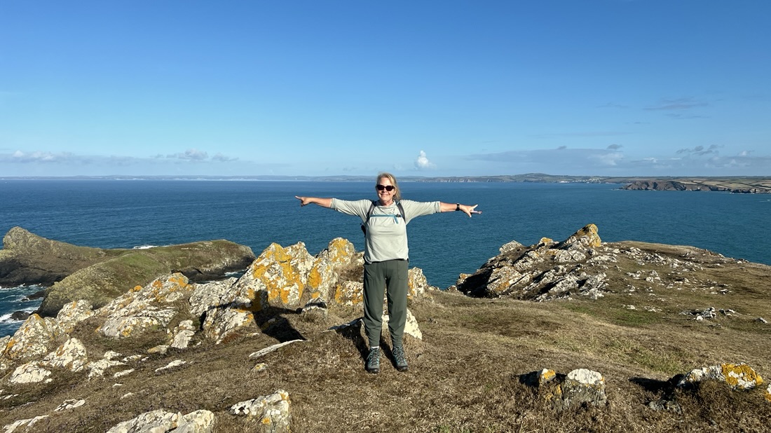 | Top House Inn, Lizard | 9.7 | 1506 | Clifftop cows, Mullion Cove, golf course, looking back several days along coast, rounding Lizard Point, farm shop cream tea. Bedroom also had bunks. |
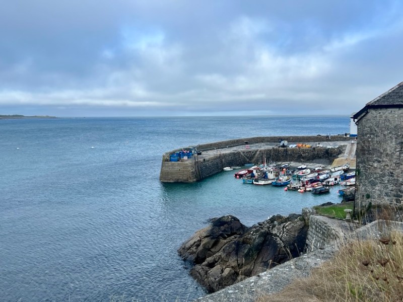
| 7 | 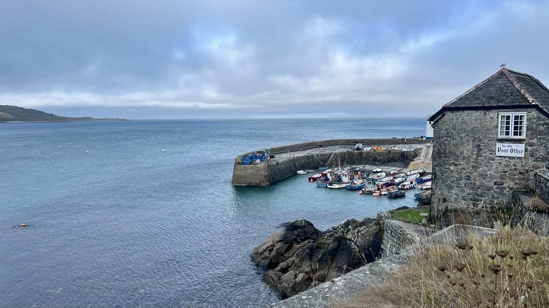 | Old Post Office, Coverack | 8.8 | 1772 | Tough overgrown trail, wet and very strong wind. Quavers for lunch, then take welcome inland shortcut with sheep and cows. Great old house on water but sloping bedroom. Fantastic dinner at Lifeboat House. Very homey. |
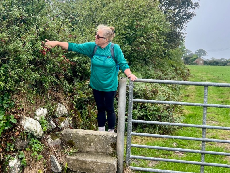
| 8 | 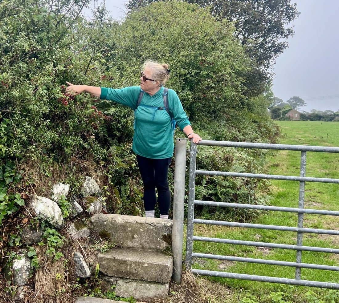 | Gallen-Treath, Porthallow | 7.2 | 787 | Rough sleep on sloping bed! Day off. Finding coast scenery somewhat monotonous, tough in annoying strong cross wind. Took inland route via Roskilly’s Farm with ponds and animals. Lunch from SPAR, cream tea at Fat Apples, SWCP halfway marker. Dinner at BnB with view and lots of Route 66 artefacts. |
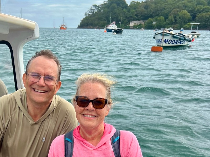
| 9 | 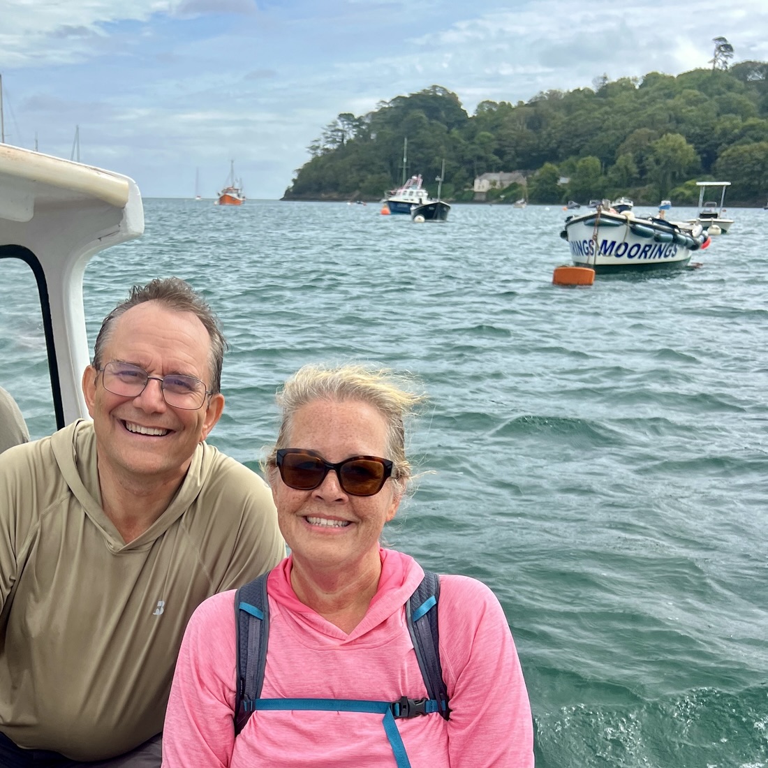 | Trevarn, Mawnan Smith | 10.7 | 1768 | Fine straightforward walking, ferries across Gillian Creek and Helford Passage. Fallen trees from January storm. Polgwidden Cove used to launch D Day Landing, hay bales. standalone self contained BnB, short walk to busy pub. |
| 10 |  | Jacob’s Ladder, Falmouth | 7.5 | 774 | Peaceful, dewy morning, beachy coves, water sports as we approached Falmouth, WW2 home guard monument, watching yacht race from below Pendennis Castle, naval docks, climb to pub, less friendly welcome, laundrette, Chinese takeaway. |
| 11 | 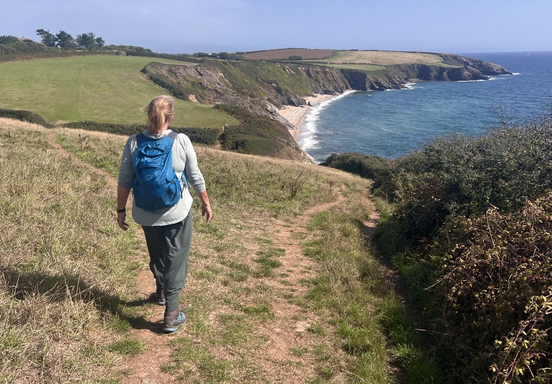 | Plume of Feathers, Portscatho | 6.5 | 833 | Breakfast to take away. Recognize the joy from the variety and unknown that each day brings. Ferries to St Mawes and Place. Memorial to WW2 Operation Chariot at St Nazaire. St Anthony’s lighthouse, fine coastal walking, lunch at perfect viewpoint, very cool Portscatho vibe, no roast but best mussels, fish pie, and BBQ flatbread. |
| 12 | 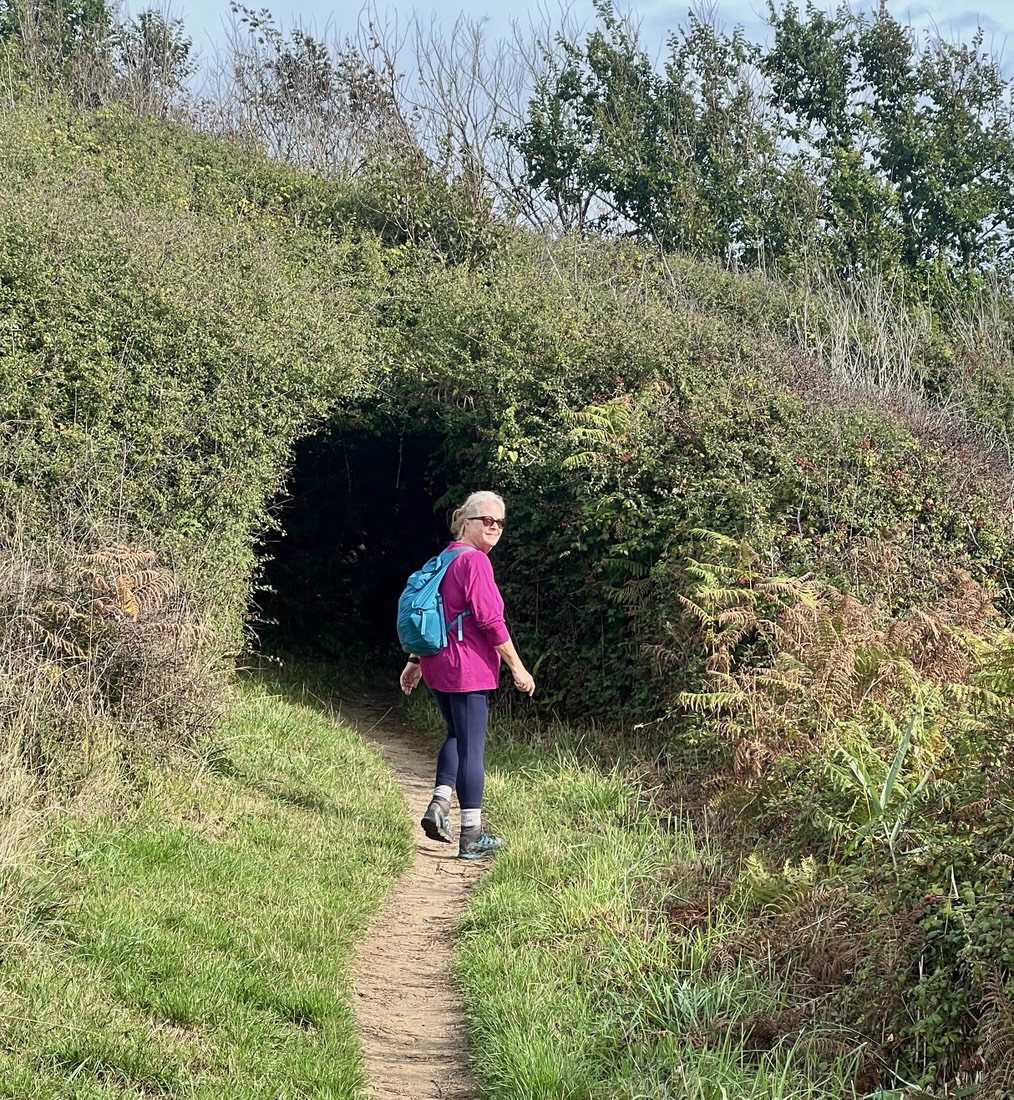 | Lugger Hotel, Portloe | 8.2 | 1588 | Quieter after weekend, Nare Head bunkers and WW2 decoys, harbour views, swim, dinner at Portloe. |
| 13 | 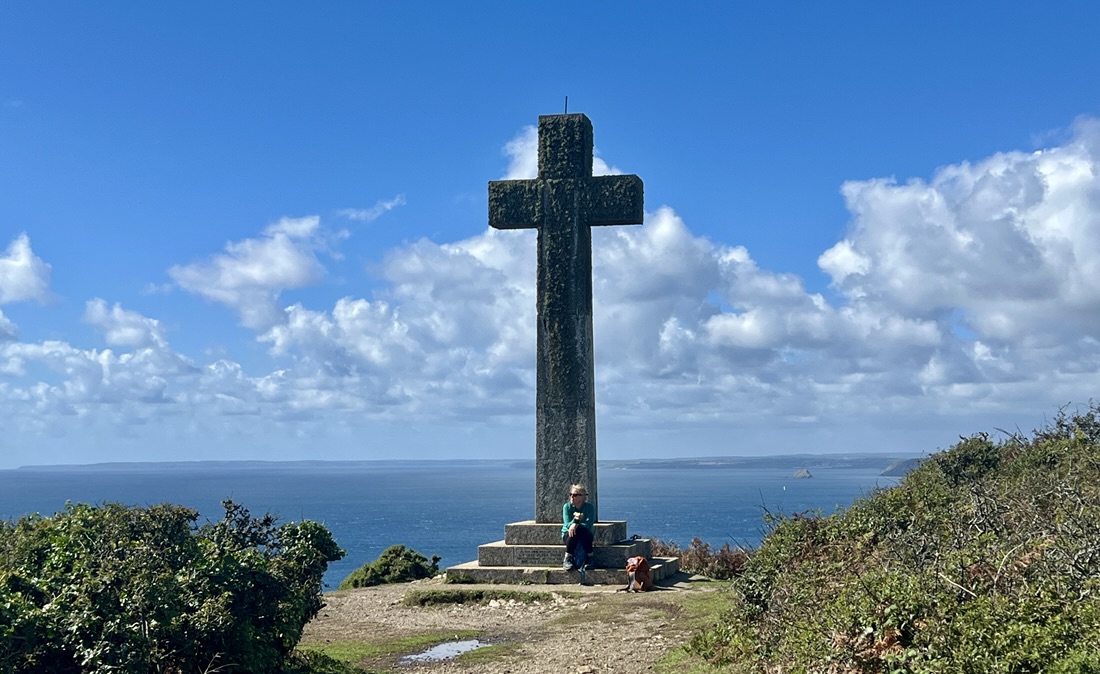 | Wheelhouse, Mevagissey | 12.9 | 2986 | Tail end of rain at start, in and out of lots of coves, beaches, headlands, lookout hut as wedding venue, cross on Dodman Point, busy Mevagissey with seal, then quiet at 5pm, Indian dinner. Longest day not too bad, ate too much Indian food. |
| 14 | 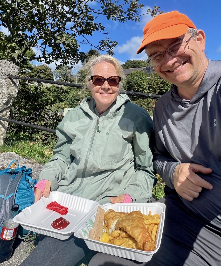 | Pier House, Charlestown | 8.1 | 2041 | Breakfast from Cornish Bakery, lots of ups and downs, see coastline ahead of next few days, fish and chips and ice cream on arrival in Charlestown with very cool vibe, large comfortable pub. |
| 15 | 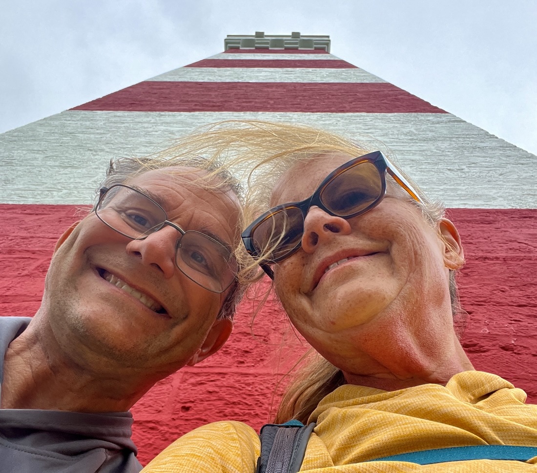 | Galleon Inn, Fowey | 11.0 | 1729 | Reflecting that all things of man are temporal. Golf course over Par, derelict China clay works, huge beach and kite surfer, rocky road treat, the Gribbin Daymarker. |
| 16 | 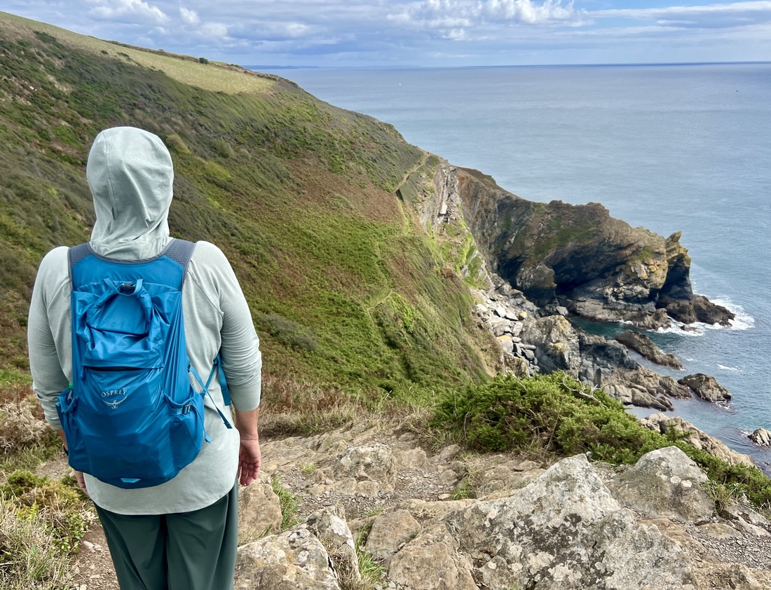 | Landaviddy Farm, Polperro | 8.5 | 2208 | Ferry to Polruan, open walking on clifftops with lots of ups and downs. Cute and touristy Polperro with long steep climb to BnB. Tea and cake on arrival, biscuits for dinner. |
| 17 | 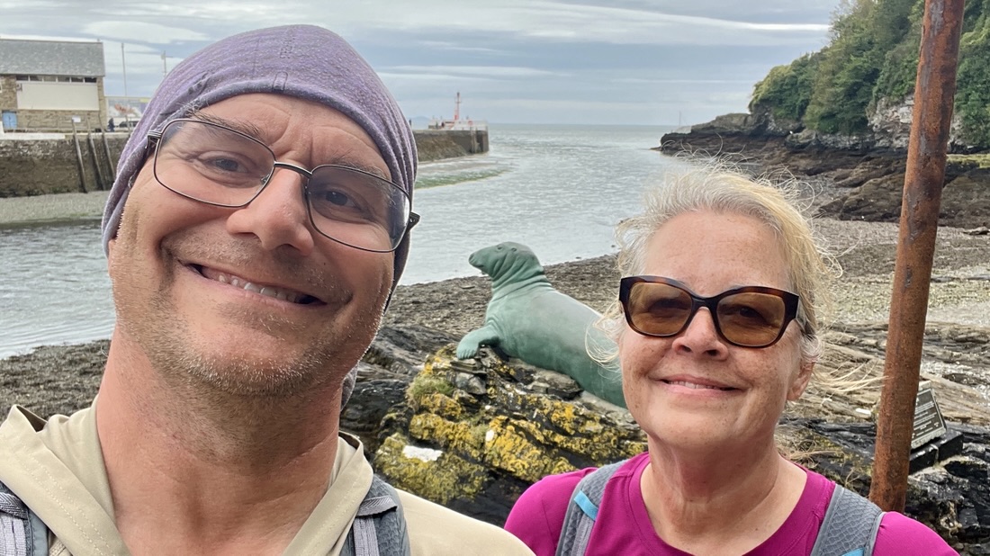 | Fieldhead Hotel, Looe | 5.7 | 935 | Day off. Beautiful easy stretch with lots of Saturday walkers. Polperro memorial cross. Nelson the seal. Crab sandwich at Old Sardine Factory. Jacket spud with beans and cheese at hotel for dinner. |
| 18 | 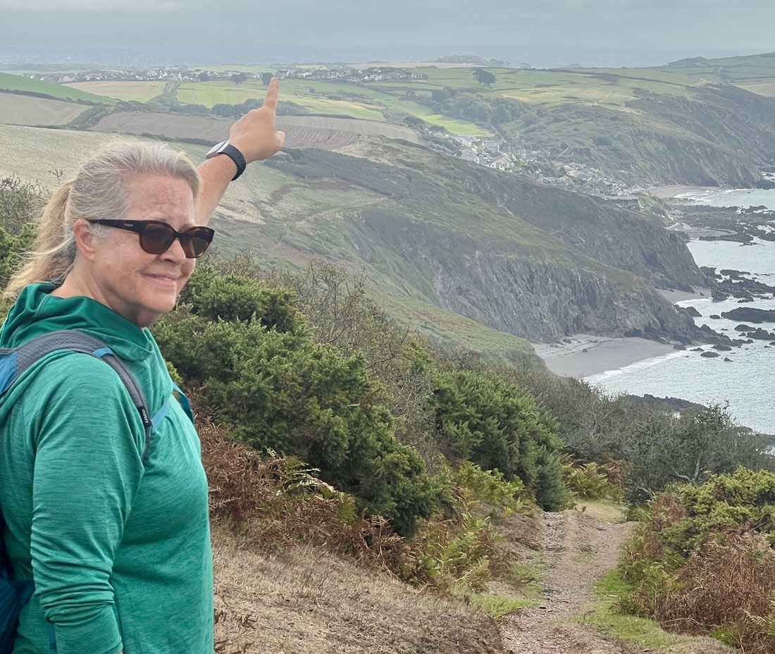 | Finnygook Inn, Portwrinkle | 10.4 | 2008 | Early start, breakfast in town on way, deserted path, beaches to cliff tops, hike up hill by golf course, very friendly pub with lots of indoor dogs, fabulous roast dinner, great view. |
| 19 | 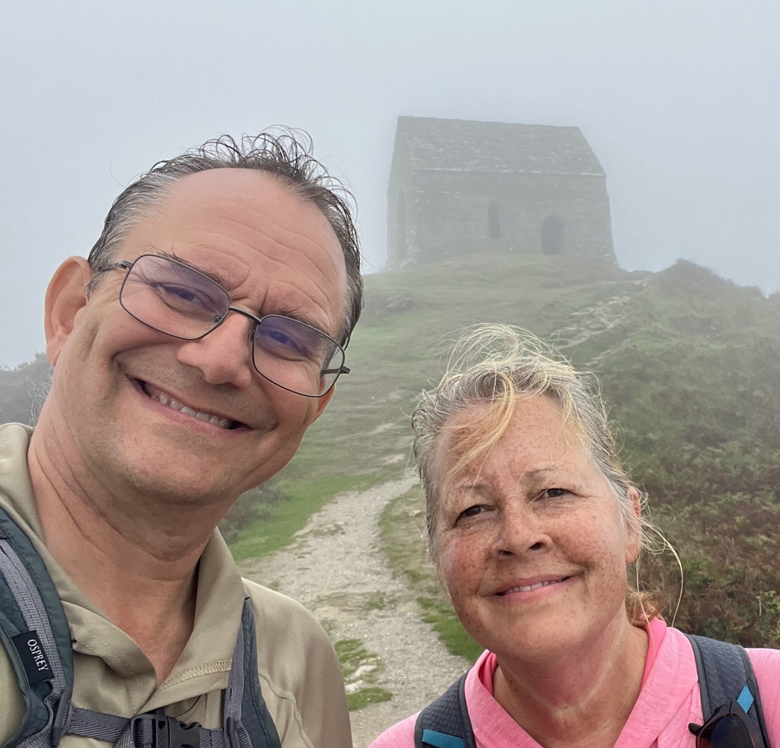 | Half Way House, Kingsand | 10.1 | 1316 | Foggy all day. Cows, sheep, shooting range, old fort, houses with no road access, chapel in the mist, old Cornwall/Devon border. |
| 20 | 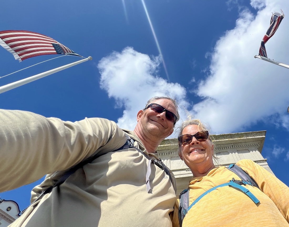 | Premier Inn, Plymouth | 7.4 | 791 | Late start after breakfast, rocky shore, naval ship, Mount Edgcumbe, last Cornish cream tea, ferry to Devon, immediately urban, seafront to Mayflower steps, Flapjackery, no checkin until 3pm, no bags until 4:30 because of puncture, Wetherspoons for simple dinner, very comfortable bed with air conditioning. |
| Totals | 174.5 | 30145 |
Reflections
My thoughts below are written out to help me plan and prepare for future hiking adventures, though others might find them useful. With that in mind, I first provide an overview of our background.
Janet is originally from Louisiana and I am from the UK. We are in our late 50s and retired. We lived in the UK with our young kids for 5.5 years and have been visiting annually for the last five years, primarily to complete a multi-day, inn-to-inn hike. Our previous trips have been (1) Coast to Coast with our kids and two friends (2) the northern half of the Cotswold Way, using a hotel in Cheltenham as a base, (3) Hadrian’s Wall path (4) the southern half of the Cotswold Way with four friends, and (5) the eastern half of the Thames Path with two friends. Janet had not done any long-distance, multi-day hiking before the Coast to Coast. We both love it and plan to continue completing multi-day hiking trips throughout UK for as long as we are able to. I also backpack (hiking and camping) in remote areas by myself, with friends, or with our son Samuel. Janet and I also enjoy exploring with our motorhome.
The goals of this trip were to see how we handled a longer trip when it was just the two of us, to assess accommodation options, and to check out the South West Coast Path. This was a stepping stone towards our ambition of the much longer Land’s End to John O’Groats, which necessitates carrying all your own stuff rather than use luggage transfer. We achieved those goals, and learned more that will help us in future hikes.
- Booking ourselves vs with a company. I am very glad we booked our first trip, the Coast to Coast, through a company (Packhorse), as I had no idea how it would work. For the northern Cotswold Way, we tried using one place as a base, getting to-and-from the trail each day, in an attempt to provide more flexibility, but much preferred staying on, or close to, the trail. For Hadrian’s Wall Path, we again booked through a company (Macs) and realized that (a) we could do all the booking ourselves and would enjoy the planning, and (b) we could then make, and own, choices aligned with our preferences. For instance, we prioritize staying on or near the trail over taking a taxi to accommodation. We identified that the tour operator primarily does two things: book the accommodation and book the luggage transfer service. Their mark-up is about 100%, which is well-earned, as it takes a lot of time, but doing that myself saves a lot of money. For the southern Cotswold Way and the eastern half of the Thames Path, I booked everything for ourselves and friends that joined us. That increased the pressure for me to get things right, but everything went smoothly, and hiking with friends adds a fun dimension.
- Set goals and define preferences. When starting to plan a trip like this, the tremendous number of variables is overwhelming. Defining a few things up front helps with the multitude of decisions. This includes constraints. I outlined our goals above. We knew we wanted to start at Land’s End and targeted three weeks starting late August due to other constraints, though we prefer to avoid the UK school holidays (July and August). We wanted to aim for a max of 10 miles walking per day, with a hard maximum of 12 miles. Each night we had to have a private bedroom, with an ensuite bathroom as a high priority and a breakfast as desirable. During this trip, we learned that 12-15 miles is a better target, and not having breakfast included is generally better as it gives us flexibility to start earlier.
- Booking accommodation. For the SWCP, my three main resources for choosing accommodation were Google, Booking.com, and the SWCP Association’s accommodation partners, known as Waymakers. There was an iterative process of finding viable accommodations along the whole route, working out the daily distance, and confirming availability, to avoid days over our 12-mile hard limit. Where possible, I booked direct rather than through Google/Booking.com. In some cases, I struggled to find refundable bookings, or chose not to pay more for that option. Some of the SWCP partners did not accept credit cards, so having my UK Bank Account for fund transfers was useful.
- What we carried each day. We each had waterproof jacket and pants/trousers and a water bottle in our 13-liter Osprey daypacks. I carried a small first aid kit with what I deem essential: regular and blister bandaids/plasters/Compeed, tape for blisters, body glide, chafing cream, Imodium. I brought a roll of emergency toilet paper. Janet carried a “SheWee”. I carried a battery and cables for my phone. Anything that was essential to keep dry, like the guidebook or phone battery, was also in a ziplock. We wore long sleeves and long-pants/trousers for protection from sun/bugs/brambles, so did not need suncream. I also hike in fingerless fishing gloves to avoid sunburn and blisters on my hands. We both hike in double socks, Janet loving her new “creepers” toe-socks to avoid blisters between her toes. Janet hikes in lightweight waterproof boots, I hike in Hoka trailrunners using the “heel lock” lacing technique, essential on rough ground to avoid blisters. I always hike with hiking poles. Janet started with them, got a blister on her hand, and then generally did not use them, but would have used them more if it was very wet. On this trip, we were blessed with good weather and only had to hike once or twice in light rain.
- Phone and connectivity. I have a Mint phone plan. Its international add-on worked well to provide data and as our primary phone which I used for local calling. Janet has AT&T. The international day pass was enabled, but she kept her phone on airplane mode except when on hotel WIFI, so the day pass charge was not triggered. In the past, we’ve bought Airalo data plans, though have accidentally triggered the AT&T daypass periodically. On future trips, I will likely use a local eSim on both phones and research how to avoid accidental trigger of the daypass. However, in many places, the cellphone signal was poor or non existent. All our accommodation had WIFI, ranging from very slow to super fast. When the connectivity was lacking, we enjoyed the isolation while being frustrated that we could not look things up online! Before we left home, we had downloaded books and TV shows that we could read/listen to/watch when the connectivity was insufficient. We prioritized horizontal time to aid leg recovery while airing the feet to help prevent blisters.
- Navigation. I had digitally preplanned each day on OS Maps and downloaded a GPX file onto my Garmin watch. This made navigation easy! Many parts of the SWCP were not well marked. We frequently asked, “Which way?” and I’d just look at my watch. By default, the righthand choice of a fork would have worked as it was seaward! Sometimes, my plan was not on the official SWCP route but it was generally fine, with multiple parallel options. The OS Map can be unclear! Only once did I pull out the guidebook to confirm whether the footpath was on the bottom or top of the cliff (leaving Pentewan Sands)! I replanned a couple of days on my phone when we changed our mind about what we wanted to do. The measured distances using my Garmin watch are generally ~10% more than the map, due to both going off trail and measurement inaccuracies. Each night, we discussed the following day’s plan, reviewing our planning notes and the Trailblazer guidebook. In future, I need to get the Kindle version of the guidebook, as it has zero weight, and we can both read it at the same time!
- Lessons about Logistics. When planning future trips, we will aim for 12-15 miles, as many days on this trip were too short. We will try to avoid an included breakfast as they tie down our start time, we often wanted to start earlier, and a full English is too much every day. We learned that trail-roughness can impact how tiring a day is as much as mileage and ascent, but it’s difficult to assess trail-roughness when planning. I need to try harder to find quiet sleeping locations – in the summer in the UK, you need to sleep with the windows open, and you get the noise from the bar across the town square as well as the pub you are above! Earplugs are important. We like to go to bed at 9pm.
- Favourite bits. (These are subjective and very much depend on the timing and our situation.) Land’s End to ourselves; Minack Theatre; Treen accommodation; St Michael’s Mount, even though it was closed; crab-loaded chips; watching the rain pass from inside the cafe on Praa Sands; three great, but very different stays, at the Polurrian, Old Post Office in Coverack, and Gallen-Treath in Porthallow; dinner at Plume of Feathers; vibes of Mevagissey and Charlestown; easy walking on coastal moorland in great weather with cows or sheep and choughs; looking back where you were four days before; warm welcome and Sunday roast at the Finnygook Inn; ferry rides; eating blackberries; checking in early with luggage already arrived, a refreshing shower, lying on bed; each day’s unpredictability of not knowing how the walk, meals, or accommodation will turn out; having the blog to refer back to; spending time with each other: we are a great team and thrive doing this together.
- The journey is the destination. I came to this realization on day 19. Each day, we were happy to relax in our room and not explore the town. We were enjoying the walking, and what we saw on the way, rather than where we were walking to. On short days, we wanted to walk more, not explore the destination. This is the distinction between a walking holiday and a traditional one-destination holiday!
- SWCP vs other hikes. Comparing trips is difficult but an inevitable thought. We have found all of our hikes great! The Coast to Coast remains our favourite, perhaps because it was our first so the idea was new. How do I describe the SWCP in comparison to the other trails we’ve walked? The SWCP is mostly not touristy and has almost-continous fantastic views. Accommodation and meals are expensive. The trail is hilly, remote, exposed, rugged, and can be very windy. We aligned with someone’s description of the scenery as “one dimensional.” We enjoyed when the path headed in land as much as we did the coast as we love variety. We were blessed with good weather, good logistics, great food and accommodation, and good health.
- What next? In 2027, we are walking the Cumbria Way over seven days without luggage transfer, so we will carry everything. This will help us prepare for a Land’s End to John O’Groats hike in 2028, which will be over 1000 miles and take over three months. After that, we will continue scenic and adventurous hikes in the UK, and perhaps Ireland. One thing that does not interest us is a Camino. Camino’s are pilgrimages, defined as “a special, purposeful journey to a holy or sacred place for religious or spiritual reasons.” Our British treks are our own form of pilgrimage, celebrating God’s creation. I see Caminos revolving around manmade artefacts, crowded, in landscapes and climate less favourable than Britain, and without the cool villages to stay in! Perhaps we will consider one when we have walked every path in Britain! This is not to say the Caminos are bad – they are just not for us, and I am a firm believer in “Hike Your Own Hike.” Similarly, I am not interested in thru-hiking the Appalachian Trail, but that’s a discussion for another time.
List of Blogs
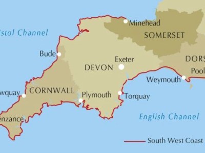
South West Coast Path: Here We Come!
This year’s walking jaunt in Britain takes us to the far southwest corner of the island. The South West Coast Path (SWCP) is the UK’s longest National Trail at 630 miles, and we plan to…
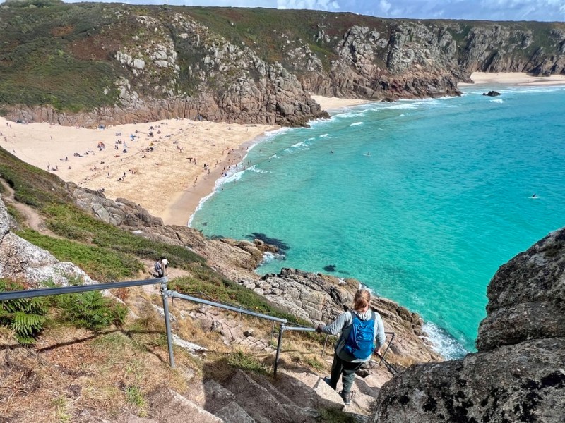
SWCP Day 1: Land’s End to Treen
Placing one foot in front of the other while en route to a new destination feeds our souls. We were quickly reminded of this as we left the touristy bustle of Land’s End and headed…
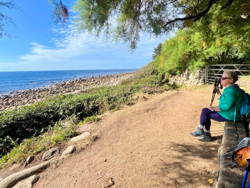
SWCP Day 2 Treen to Mousehole
We were amazed at how different today was compared to the day before. While the scenery varied, the main change was the path’s ruggedness. We were ok with the ups and downs. The challenge was…
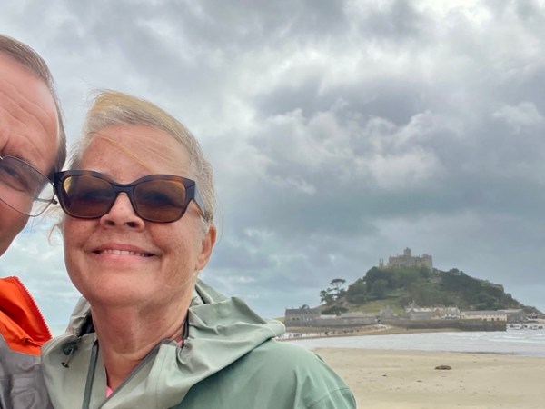
SWCP Day 3 Mousehole to Marazion
This was a good day to have an easier day. While my Garmin recorded more steps than the previous two days at 20k, the walking was eassentially flat on pavement, so there was no rock…
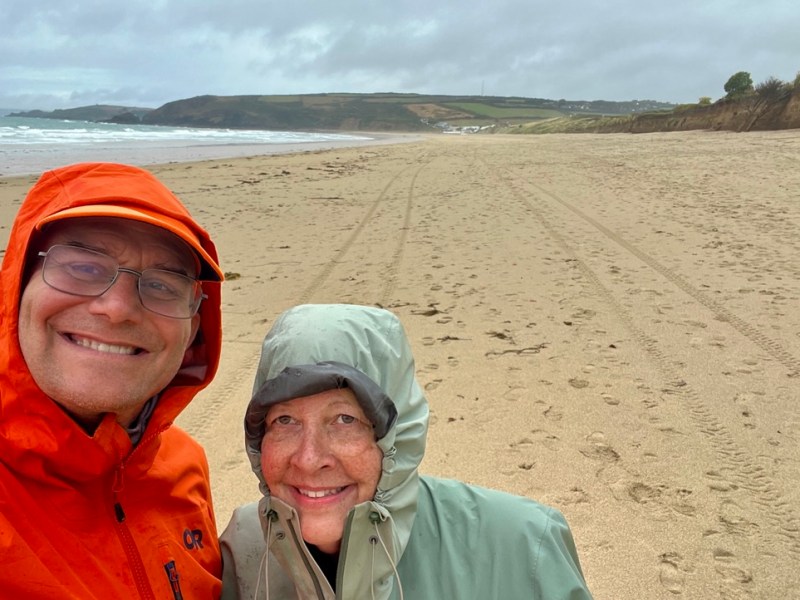
SWCP Day 4 Marazion to Porthleven
This was our fourth of twenty days hiking from Land’s End to Plymouth in South West England. The previous three days had been completely different from each other. Not only was this one again very…
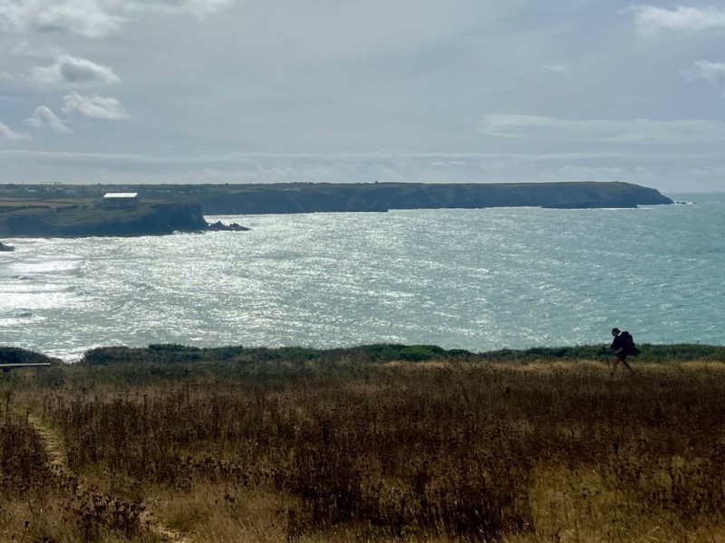
SWCP Day 5 Porthleven to Mullion
Each day on the SWCP is different. Today’s was shorter than many, which introduced some frustration, yet allowed for some contemplation. One of the great joys of these walks for nomads like us is the…
SWCP Day 6 Mullion to Lizard
The most prominent peninsula that we walk around on this hike is the Lizard Peninsula. It extends southwards to the UK’s most southerly point. Many look very carefully at either the peninsula, or the many…
SWCP Day 7 Lizard to Coverack
Today’s lesson is you should not judge a day until it is over! Until we stopped for lunch in the middle of the day’s walking, today was not great. It was a day that contrasted…
SWCP Day 8 Coverack to Porthallow
In my planning for this walk, I thought of this day as our day off. At just five miles, it would give the legs some rest. However, we have found we are not very tired.…
SWCP Day 9 Porthallow to Mawnan Smith
While our legs might be getting used to walking, I still found the place names wonderful. I had tried to picture what Mawnan Smith might look like before arriving, but did not come close, in…
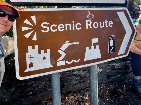
SWCP Day 10 Mawnan Smith to Falmouth
Today was a great day to accept life’s pace. As I approach my sixtieth year, I continue to try and fill up time. The tenth day of our SWCP walk was about seven miles, but…
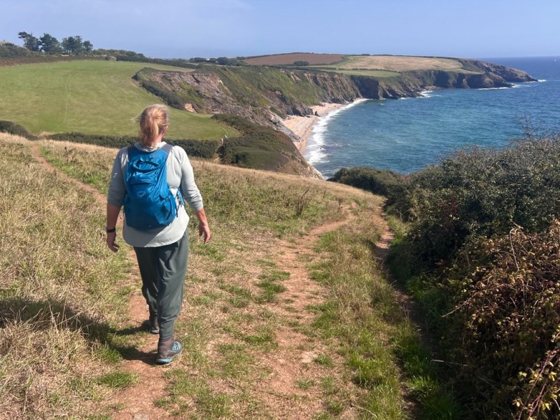
SWCP Day 11 Falmouth to Portscatho
These days have been like Forest Gump’s box of chocolates. We started off each day, unsure how it will turn out, though with some certainty that it would be pretty good. There have been a…
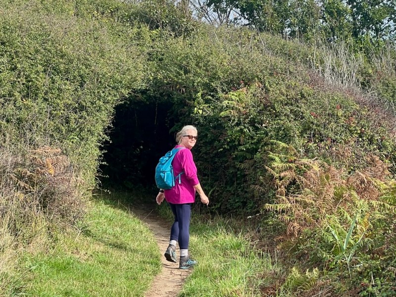
SWCP Day 12 Portscatho to Portloe
With the day’s walk a straightforward eight miles, we could really take it easy and absorb the views. However, even our most relaxed pace was over 2 mph! Nevertheless, we paused to enjoy cows, birds,…
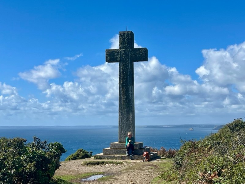
SWCP Day 13 Portloe to Mevagissey
The length of today’s hike crept up on us. Or perhaps it was the ascent. 13 miles and 3000 ft of ascent was our biggest day and our legs felt it by the end. The…

SWCP Day 14 Portloe to Charlestown
Some days are full of ups and downs, and this was one of them! The views remained great and the weather kind. The main memory of the day’s walk was going up and down about…

SWCP Day 15 Charlestown to Fowey
Today’s inspiration was that all things of man are temporal. Over the previous days, we had passed through many small fishing villages that had redefined themselves, while surrounded by permanent rocks and less stable cliffs.…

SWCP Day 16 Fowey to Polperro
Today’s straightforward-looking hike along the coast masked a lot of climbing, which made this a tough 8.5-mile day with 2,200-ft ascent. We started the day eager to get back on the trail, and I was…
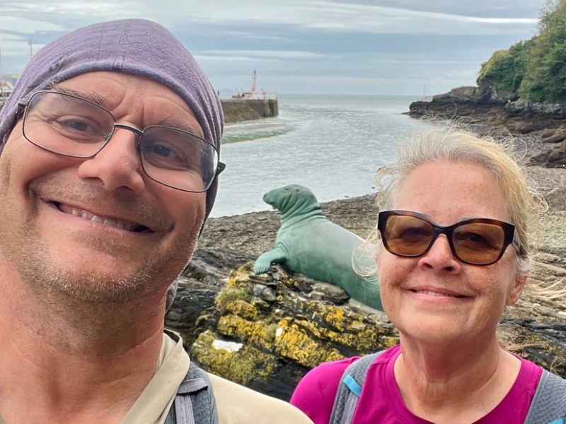
SWCP Day 17 Polperro to Looe
Our weekly day off included a short amble of less than six miles, ascending less than 1000 ft. The weather was kind as we followed the path along this beautiful and relatively easy stretch. We…
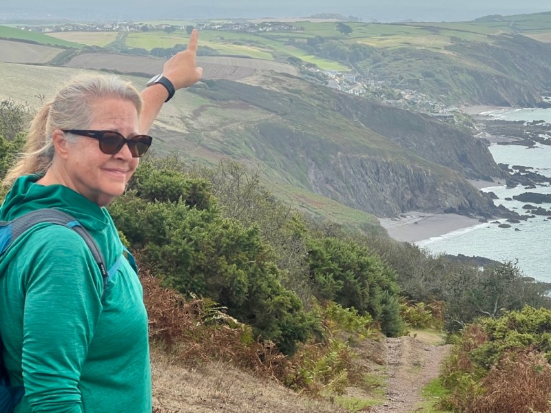
SWCP Day 18 Looe to Portwrinkle
Today was another lesson in not making assumptions! We feasted on probably the best roast dinner we’d ever had, in the pub with the silliest name! We wanted to make the most of staying at…
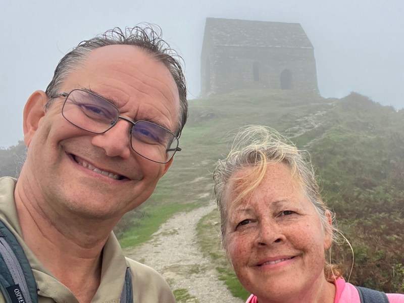
SWCP Day 19 Portwrinkle to Kingsand
Where else in the world can you walk on a public footpath through an army firing range? The presence of sheep and cows helped make us feel save, and we spent most of the day…
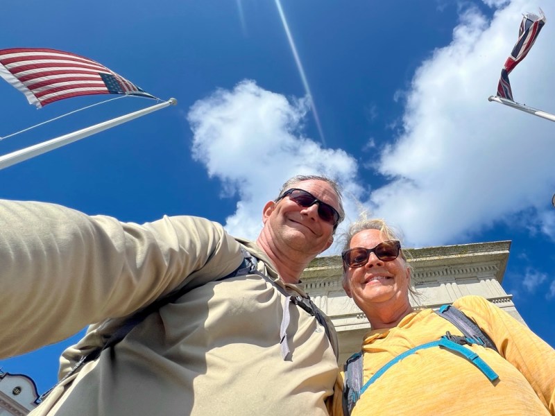
SWCP Day 20 Kingsand to Plymouth
A bright sunny day called us outside for our final day of walking, though we had to wait until 9am for our pub’s breakfast. The high tide almost disrupted our coastal walk, but we stayed…


I’m glad you had a good hike and that you’re keeping your feet well-aired! 😉 I’ve enjoyed following along. 🙏
LikeLike
thanks, and you know my feet 😊 🦶
LikeLike