
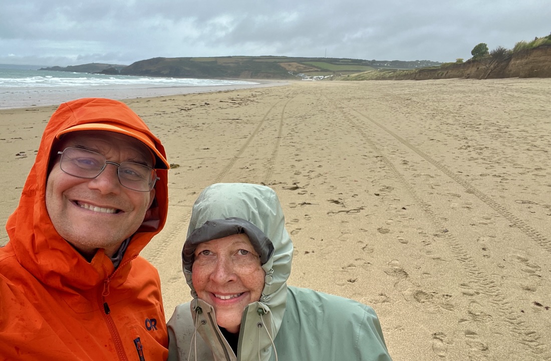
This was our fourth of twenty days hiking from Land’s End to Plymouth in South West England. The previous three days had been completely different from each other. Not only was this one again very different, but its two halves were also quite dissimilar!
At 11 miles and nearly 2,000 ft of ascent, it was our biggest day so far on paper, but it was probably the least tiring. Perhaps we are getting our trail legs or maybe the long lunch break revitalized them. We think the biggest factor was the trail’s surface which was generally smooth dirt, rather than the rocks we had scrambled over for the first two days.
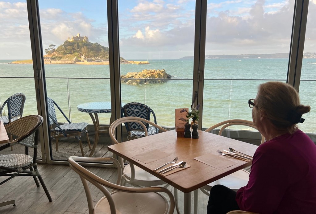
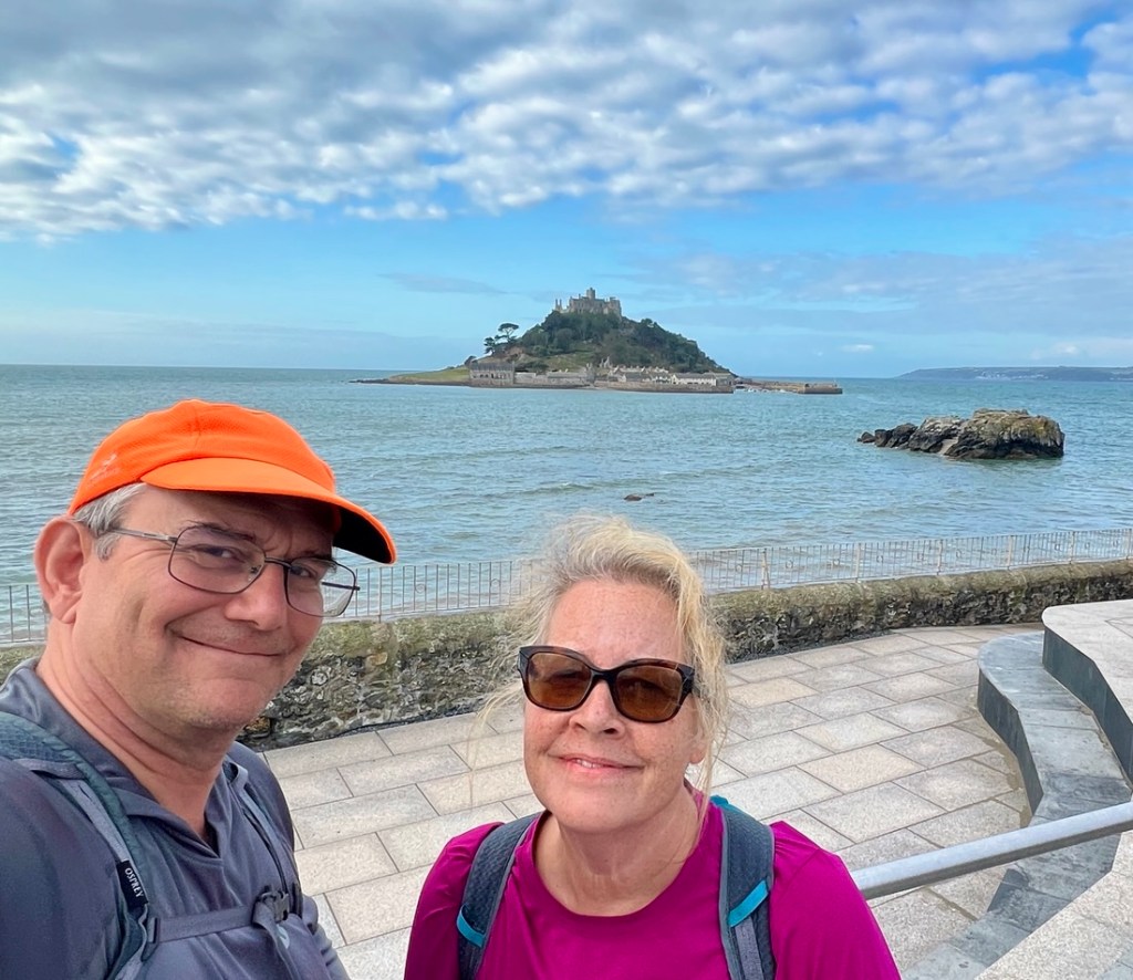
The day started with a fine breakfast overlooking St Michael’s Mount at high tide. As we started our walk, the view back continued to be dominated by the island and its castle.
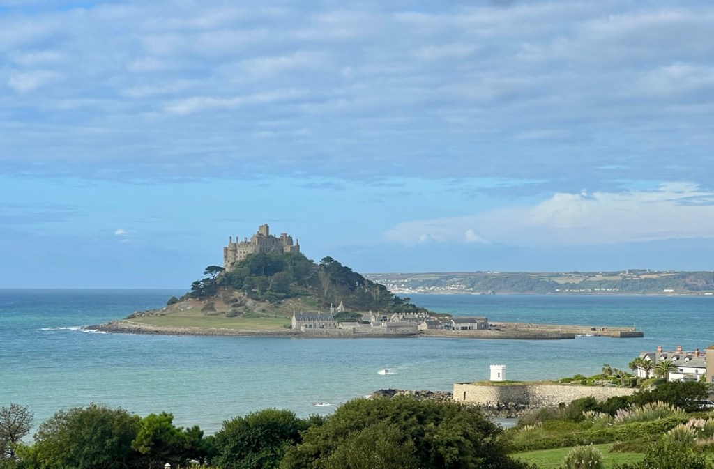
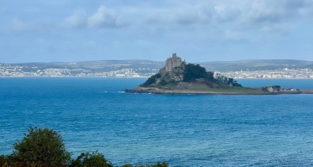
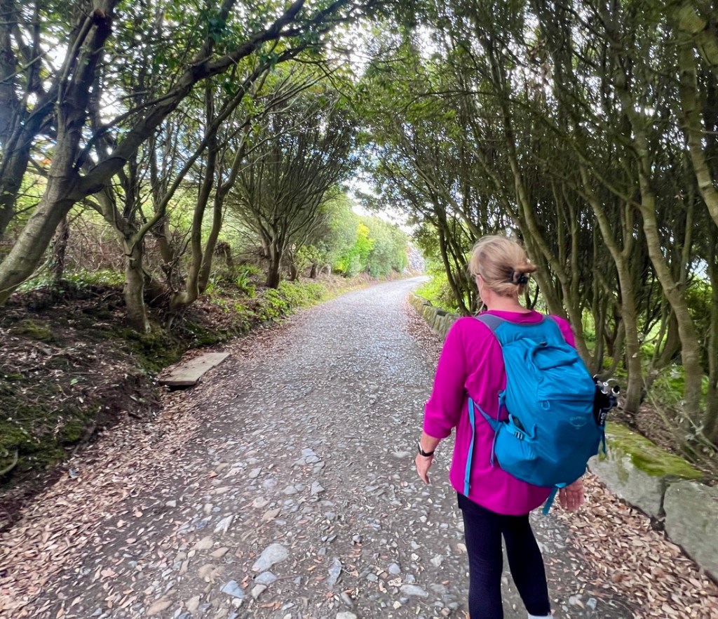
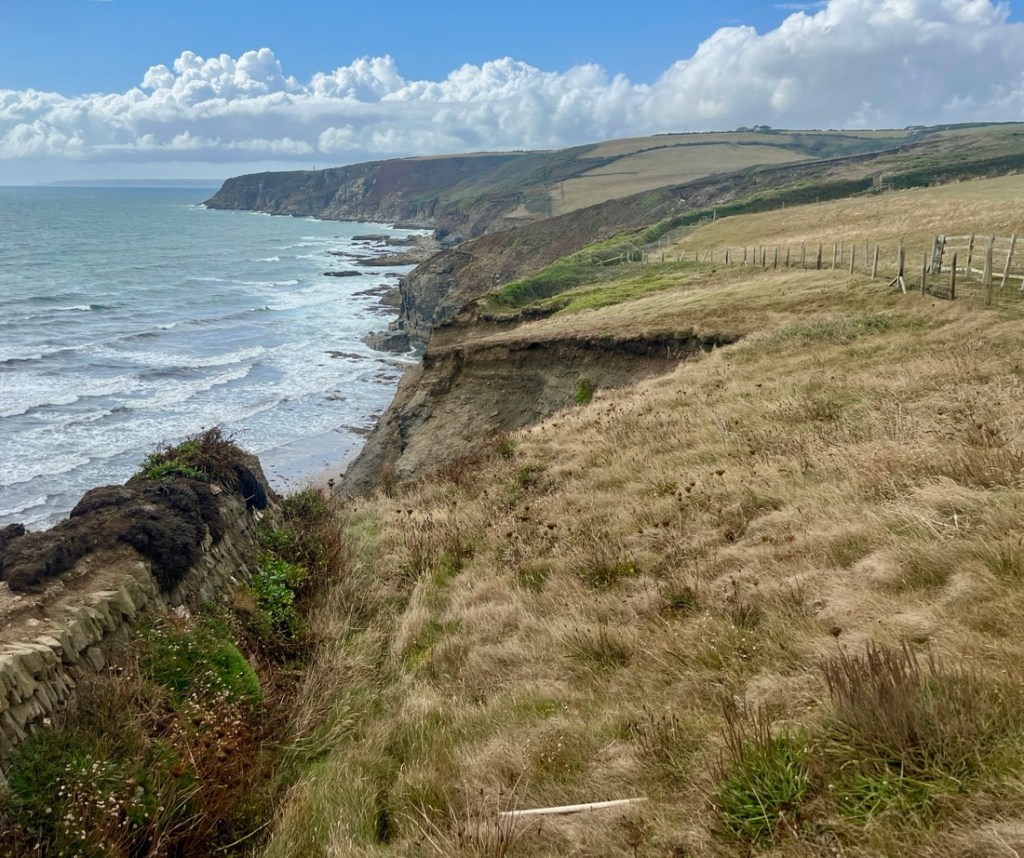
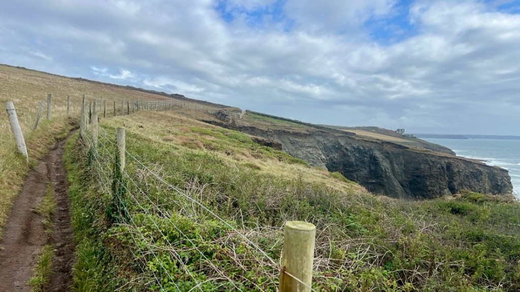
The morning’s highlight was the trail’s walkability. It was so much less rugged than the first couple of days. In addition, we chose a shortcut or two which avoided steep descents and ascents while always keeping us within earshot of crashing waves. At times, the bushes straddling the path were thick and tall, with a very narrow path, and sometimes it seemed the only was through was to eat all the blackberries in the way!
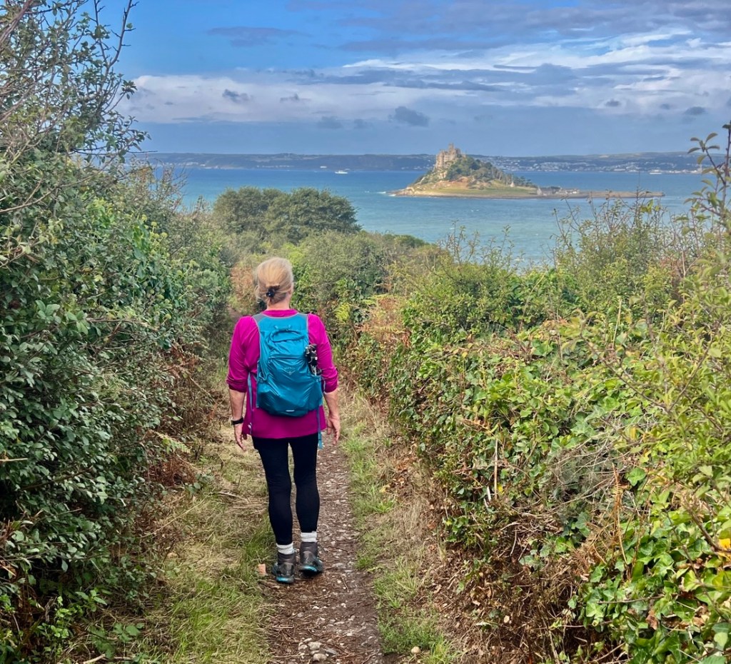
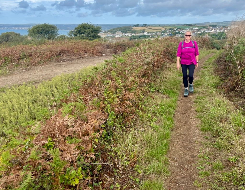
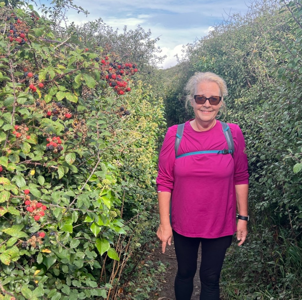
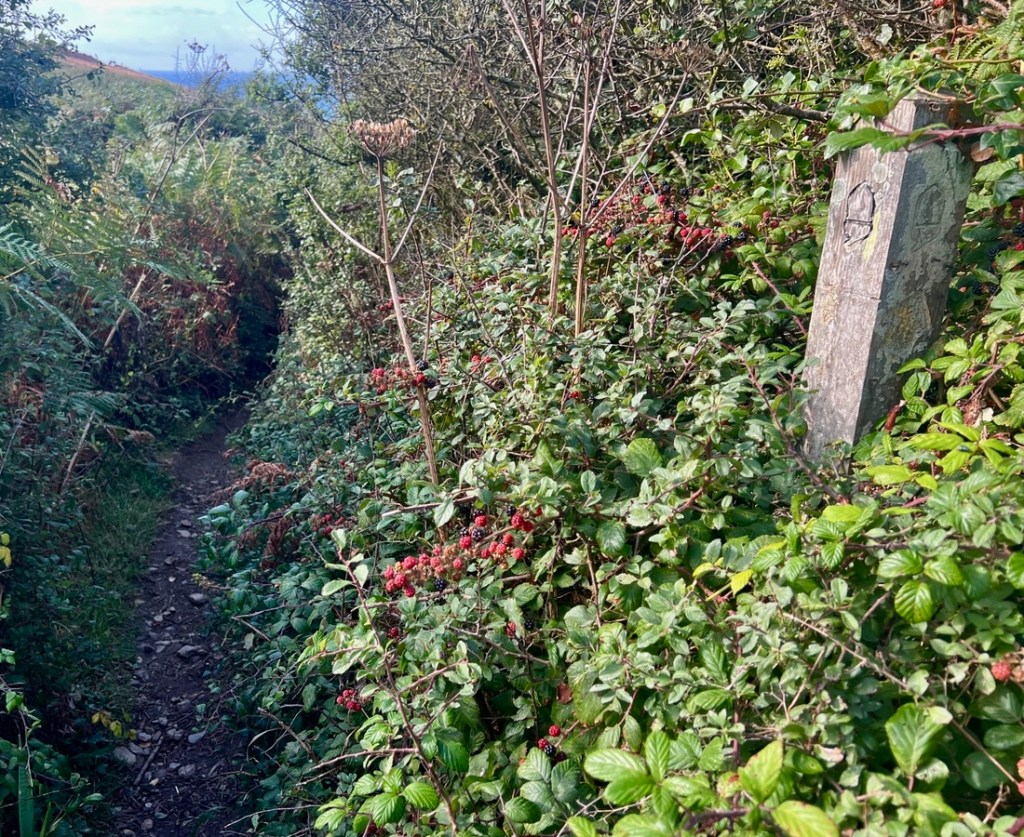
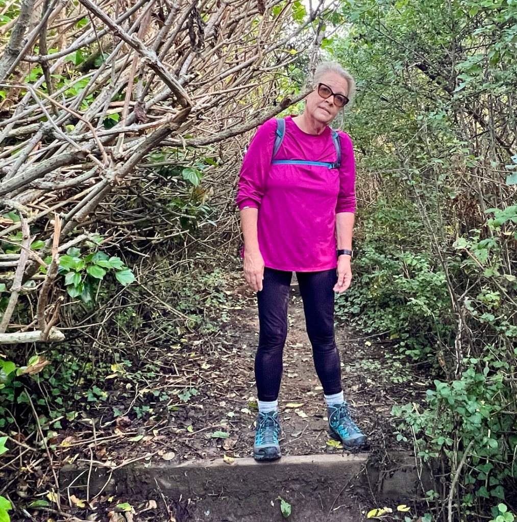
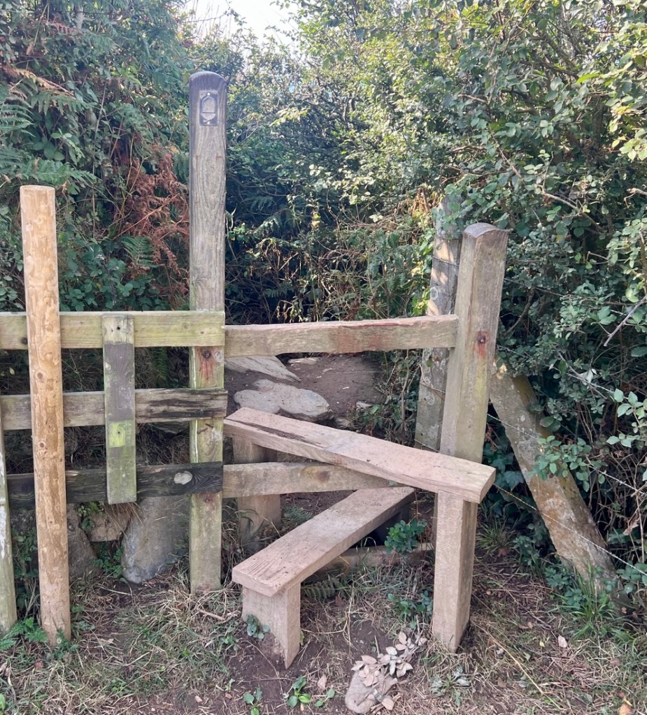
It felt more like the other hiking we’ve done on other national trails, away from the coast.
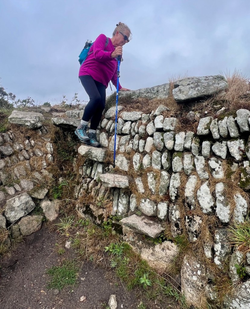

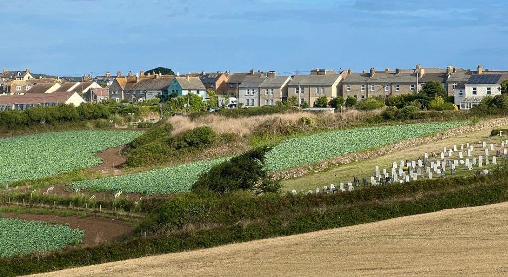
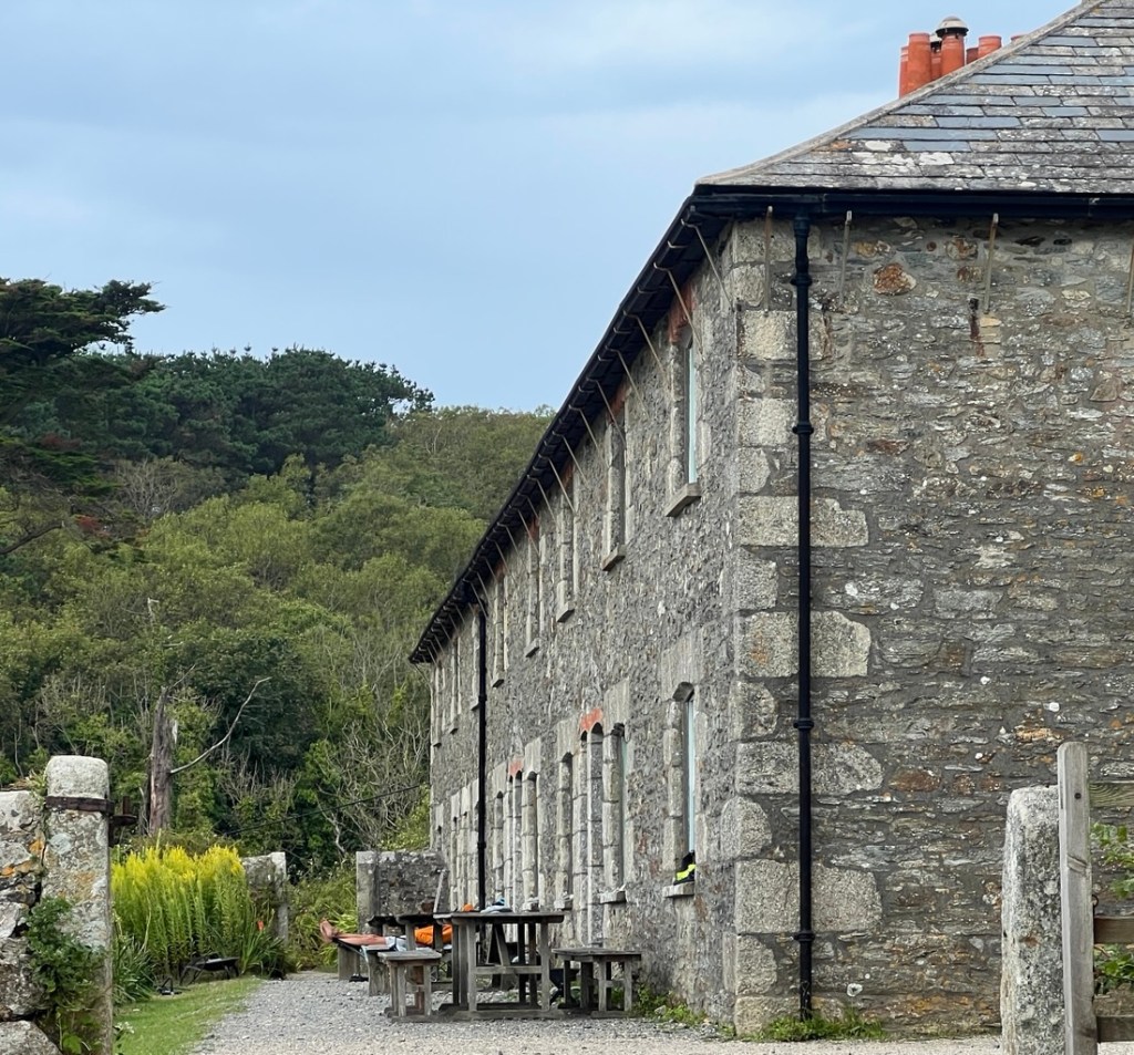
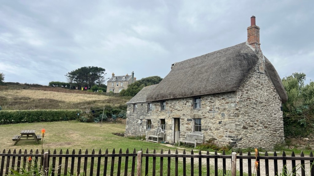
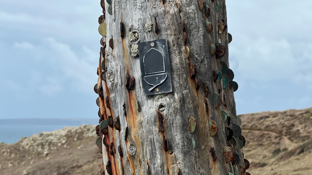
There was also some cool history. First, there was a money tree at Cudden Point, preserving an old tradition.
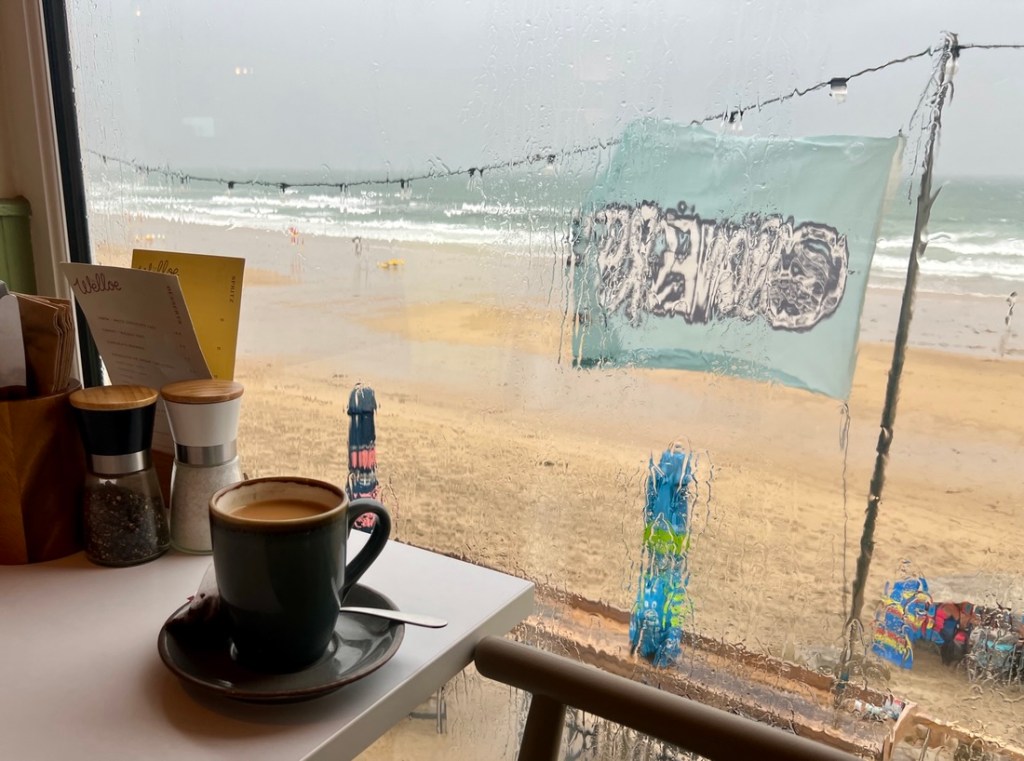
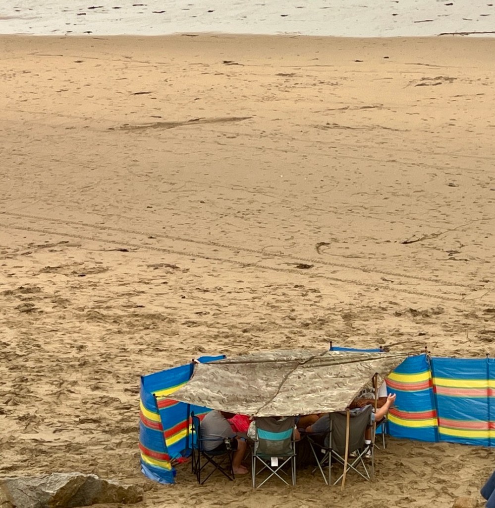
We approached Praa Sands after about six miles and it was perfect timing for lunch. It was even more perfect because the rain was about to come! We enjoyed cups of tea and a delicious seafood chowder, keeping us warm while we waited for the rain to pass. It was fun people watching, especially a very determined family on the beach…
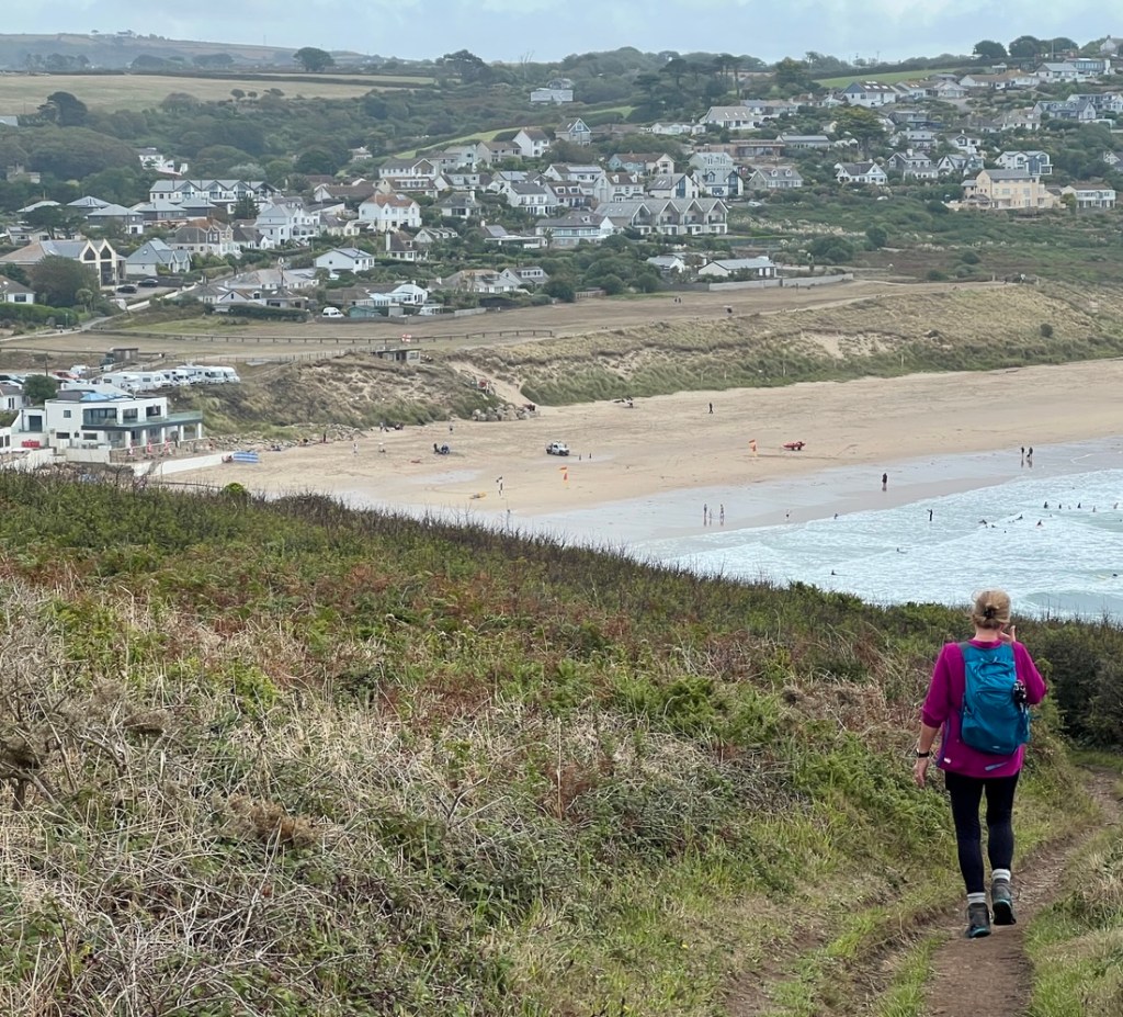
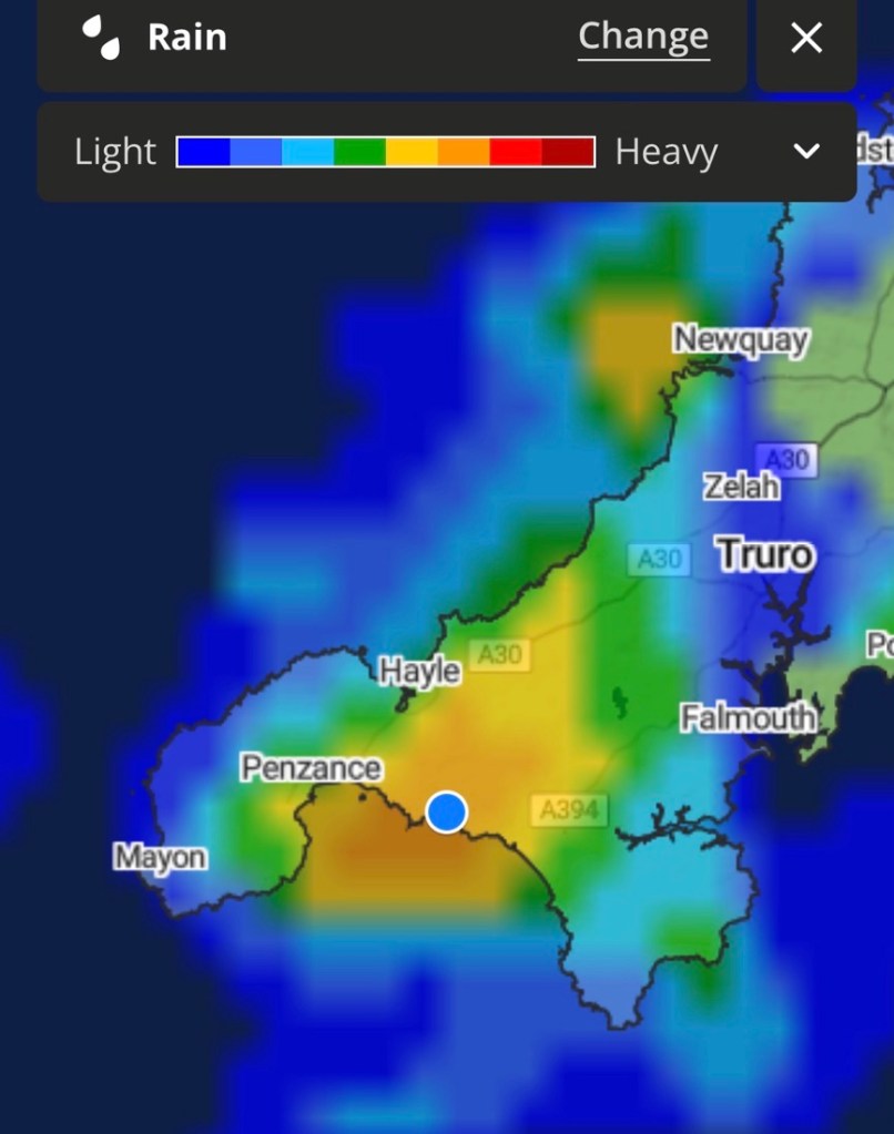
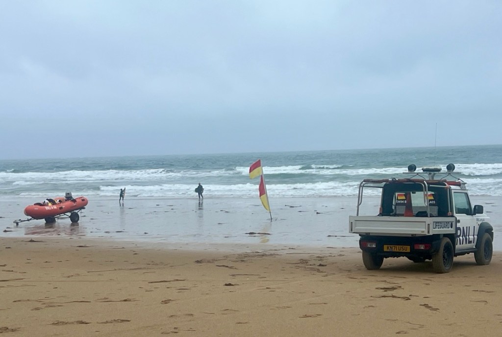
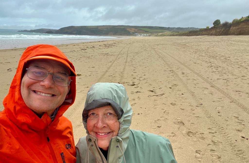
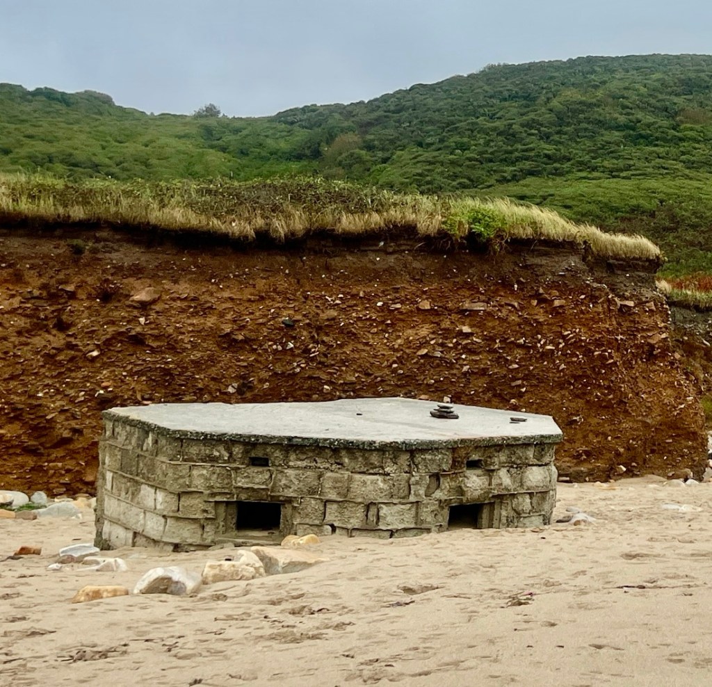
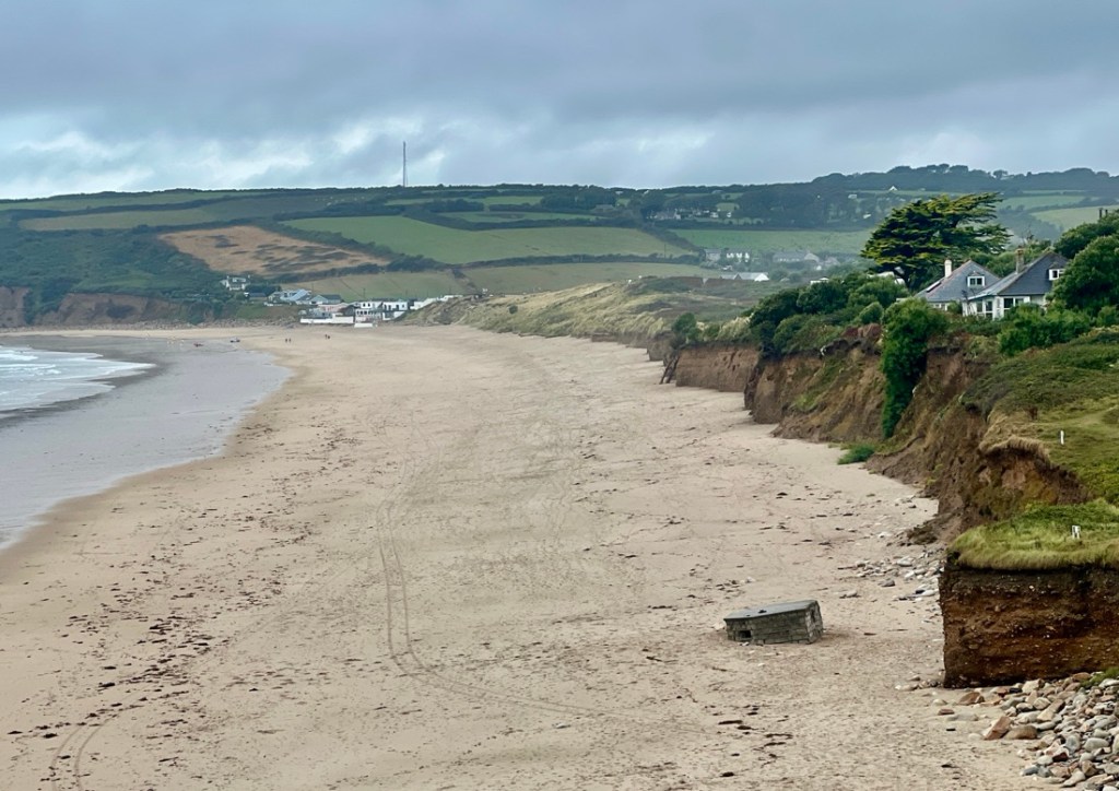
The end of our long lunch break ushered in the second half of the day. It started with a one-mile stroll along the beach, that started with the tail end of the rain and strong winds and ended with blue skies!
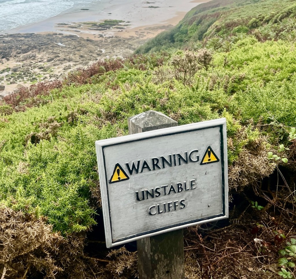
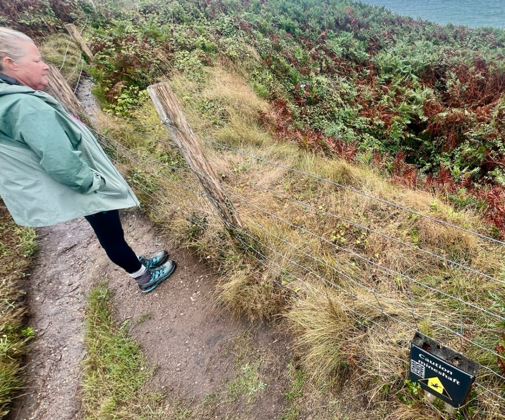
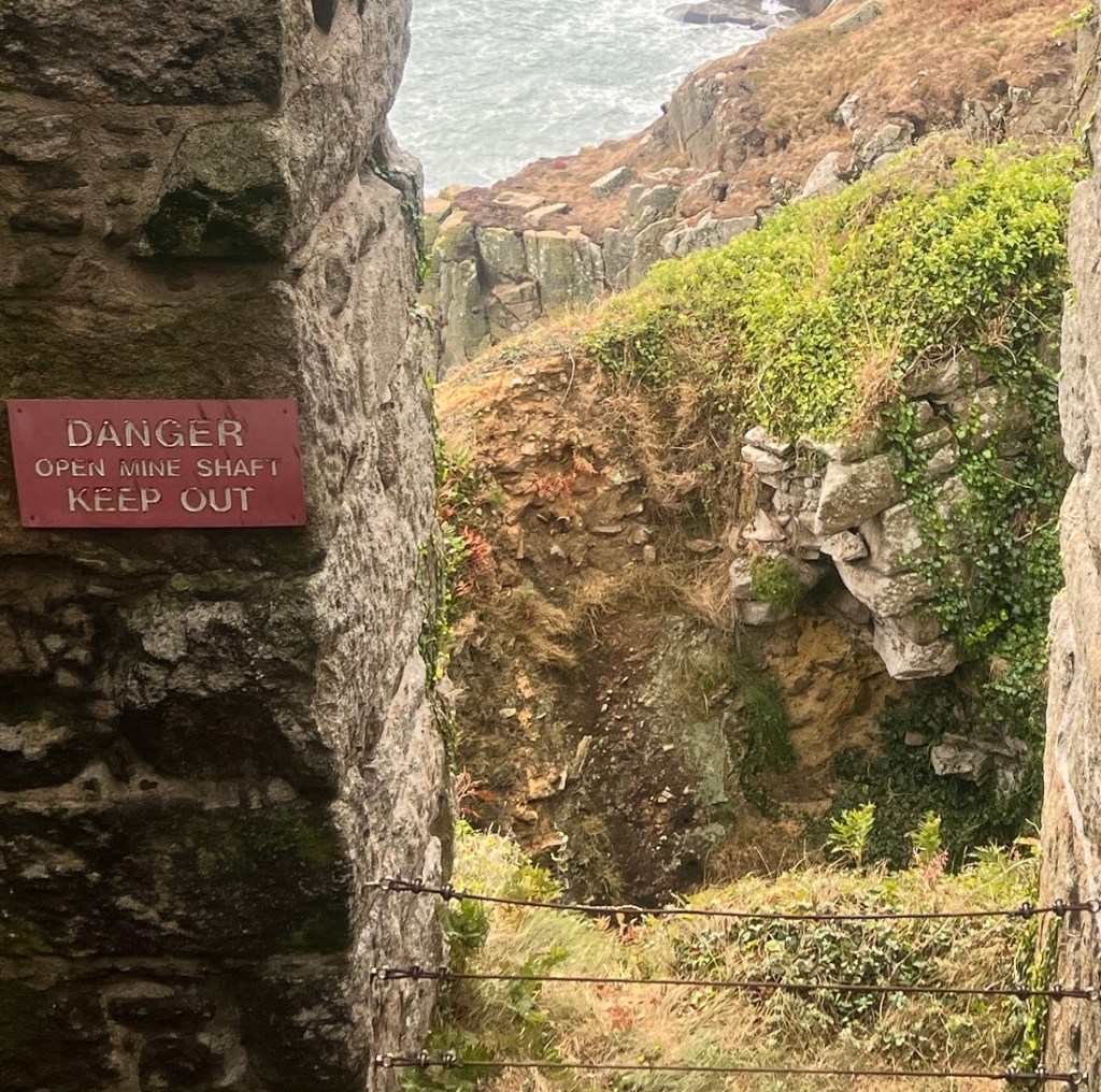
There were also some fascinating remnants of attempts to mine copper in the nineteenth century. A few buildings remained, especially old wheel houses, with lots of warning signs prohibiting exploring old mine shafts, which I am sure attract local teenage boys!
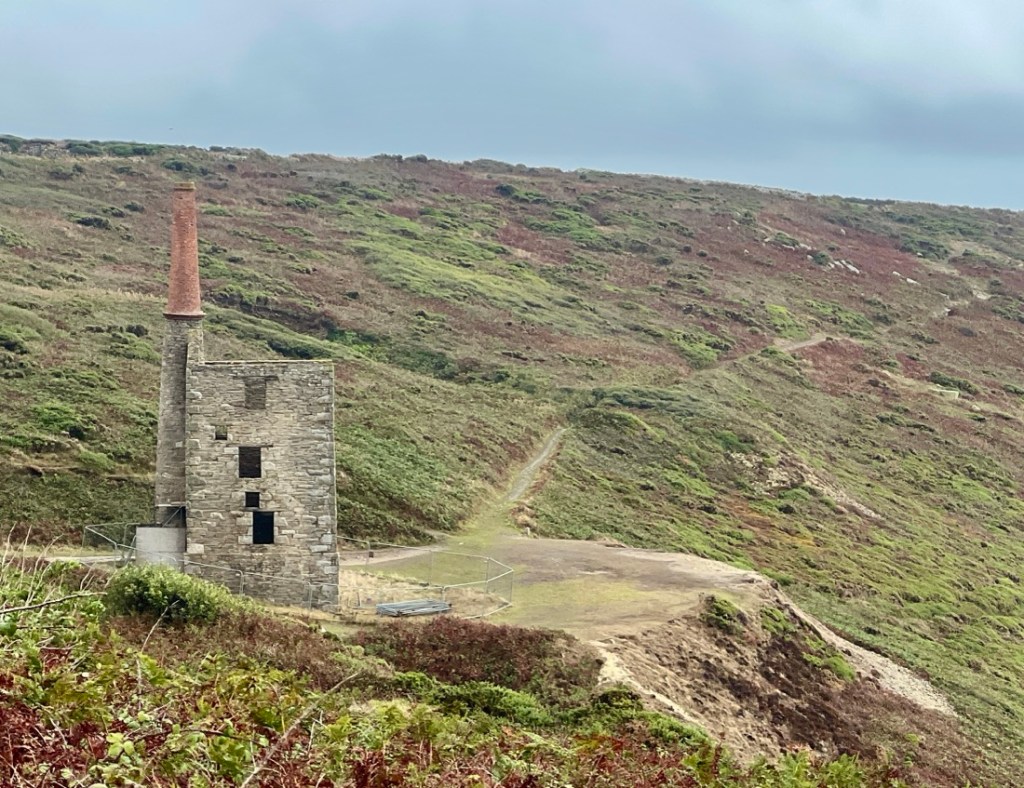
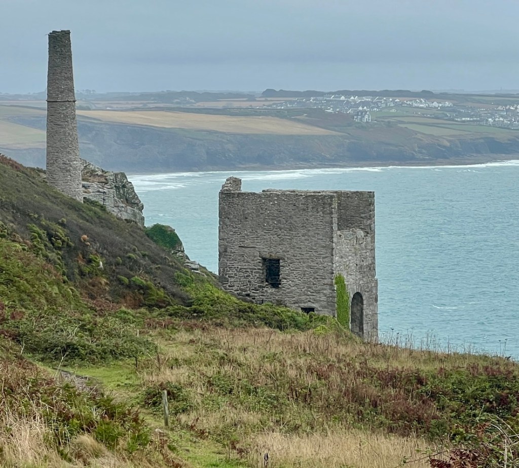
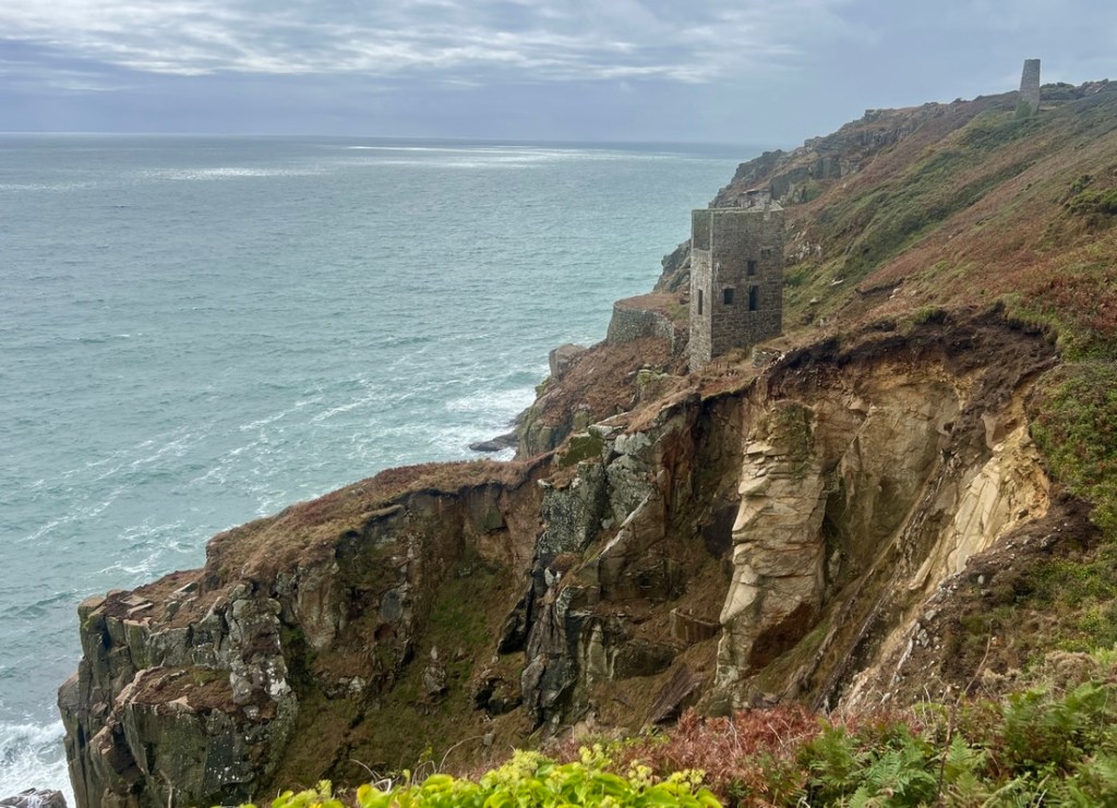
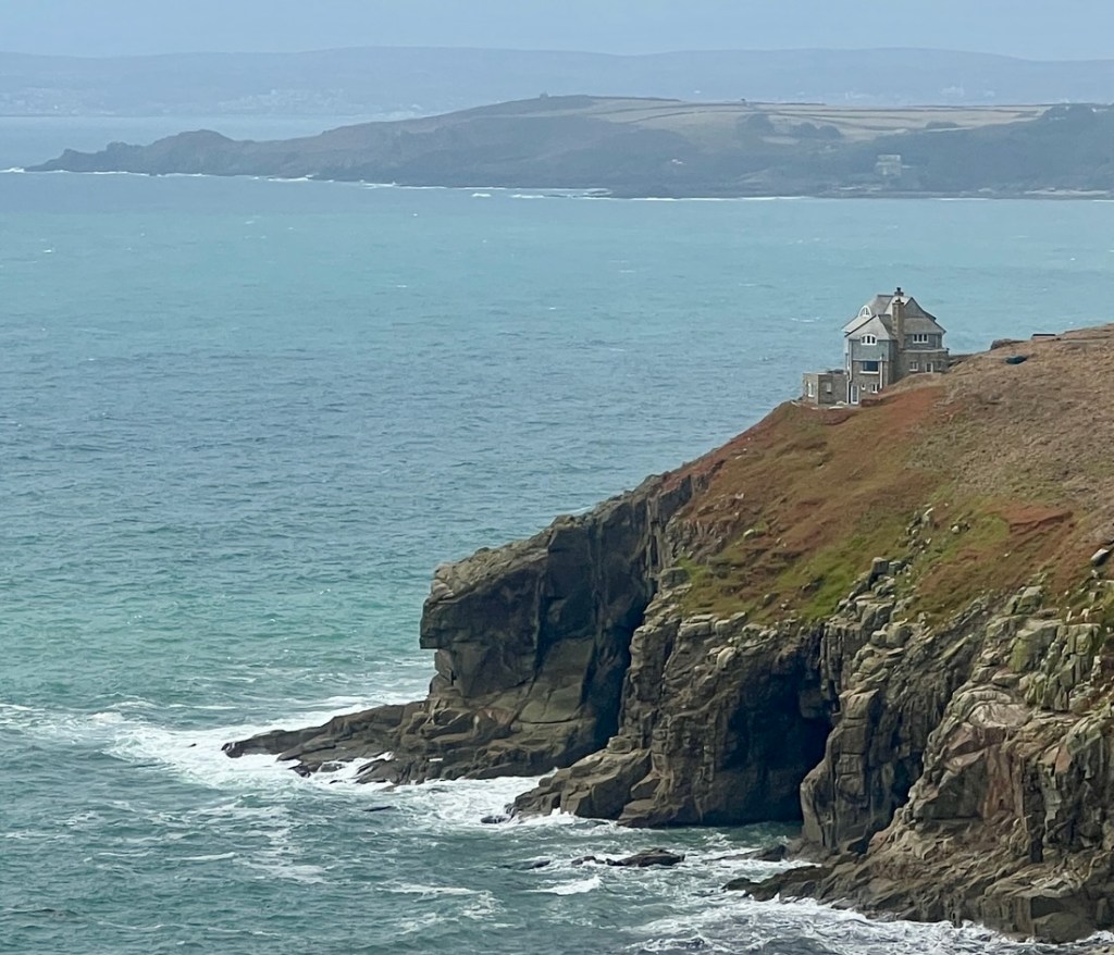
A house on Rinsey Head with fine views was built after the mining period.
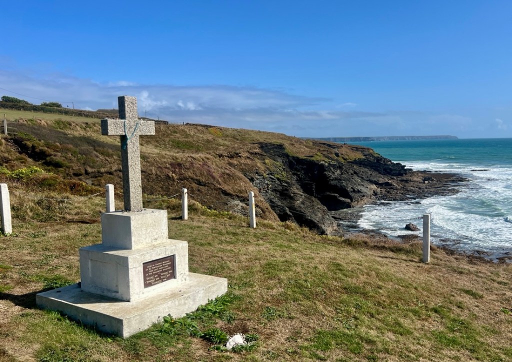
Before the Gryll’s Act of 1808, washed up bodies were buried on the cliff near where they had been found, as their religion was unknown. After 1808, they were buried in local consecrated ground. We passed a cross which recognized this change and honoured the many mariners who had drowned off this coast.
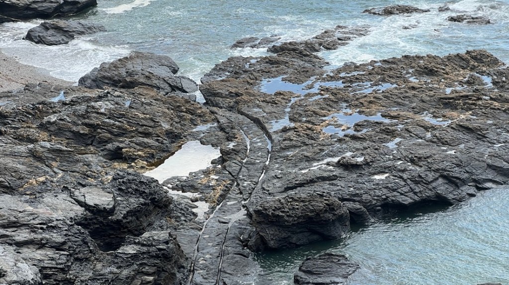
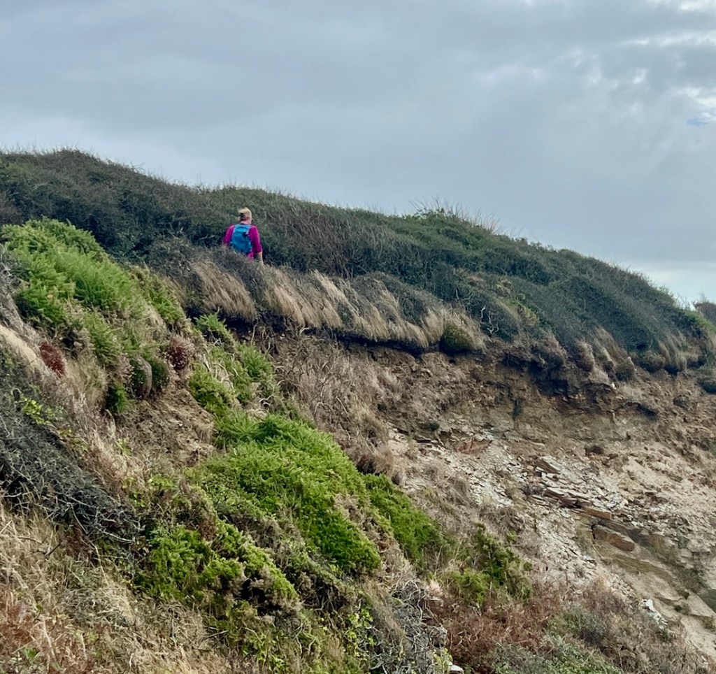
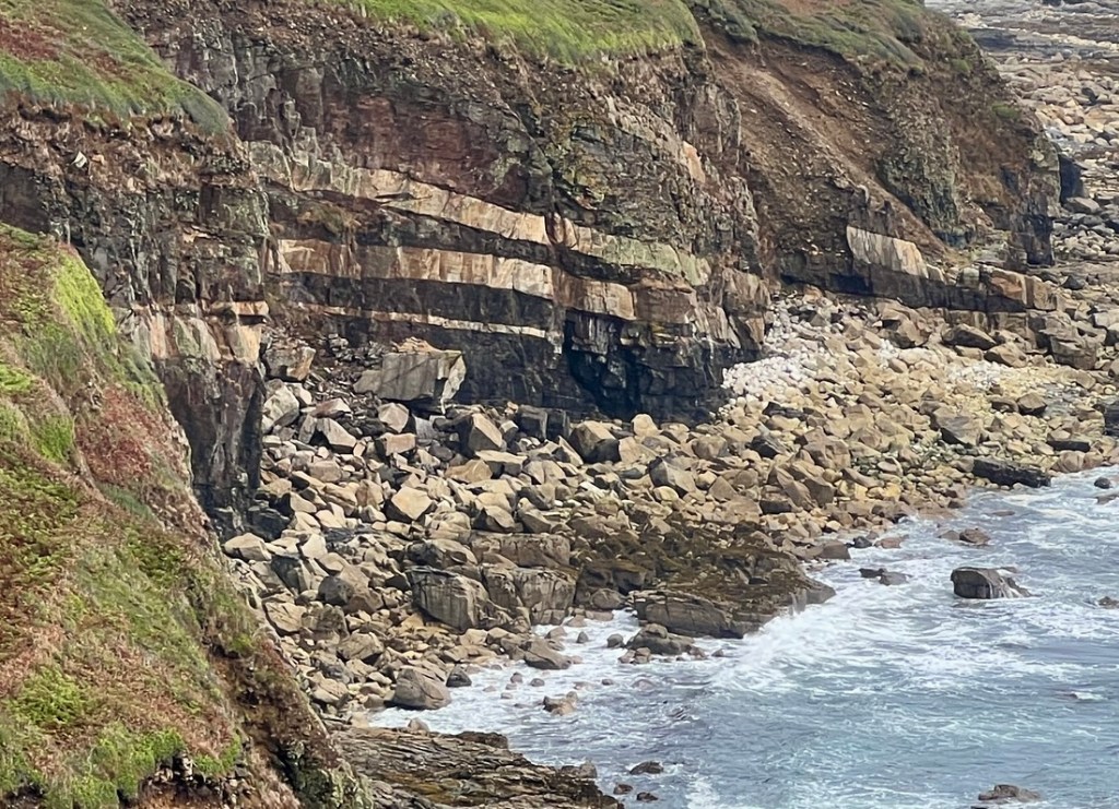
This coastline must be loved by geologists. These layered rocks looked cool.
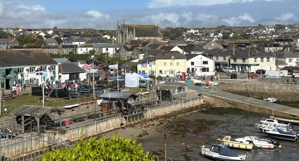
After 11 miles and nearly 2000 ft of ascent, we entered Porthleven, a large fishing town where we stayed in a small B&B in the middle of town.
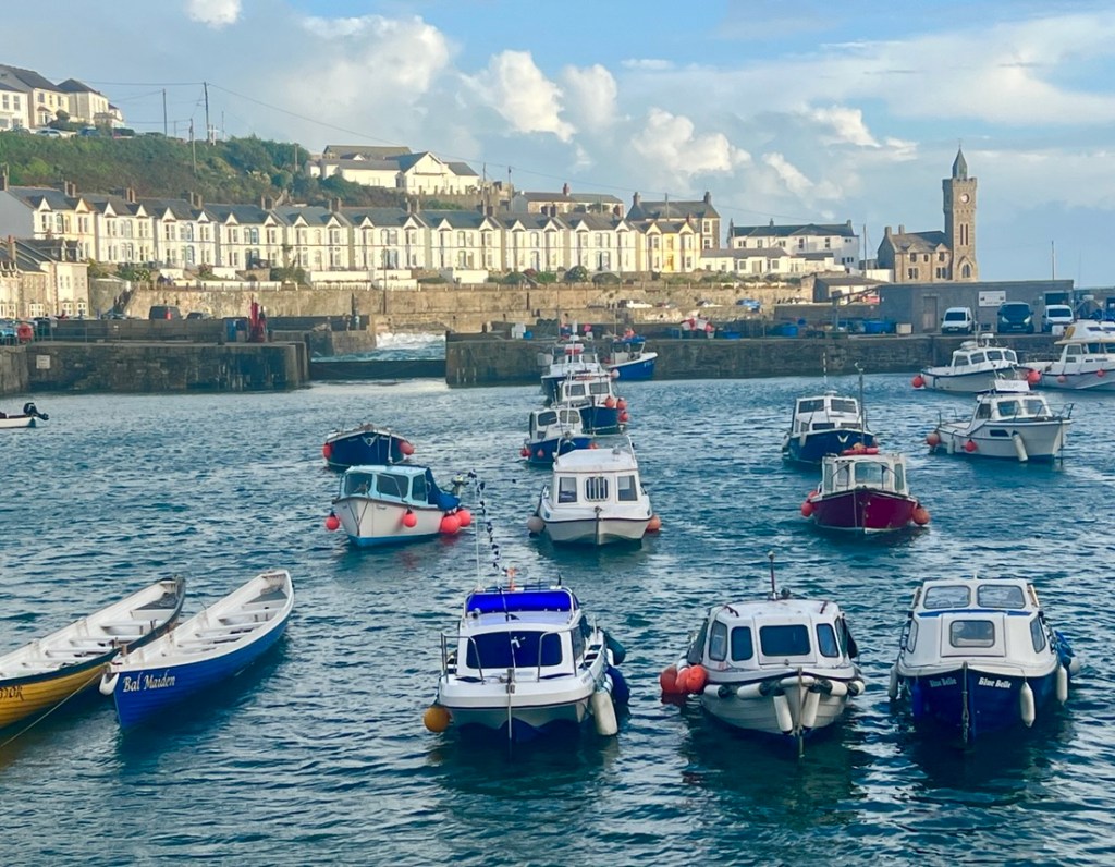
We were pleased with the way our legs had performed over these hills today. We will see what tomorrow brings!


Praa Sands Sunglade — where wrinkles go to tan. 🏄♂️
LikeLike