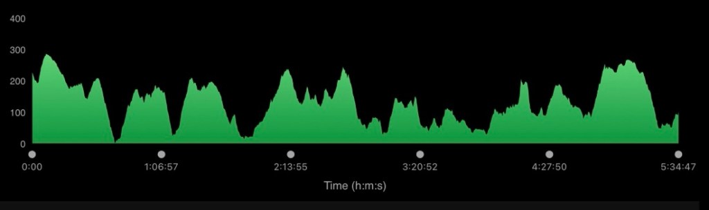
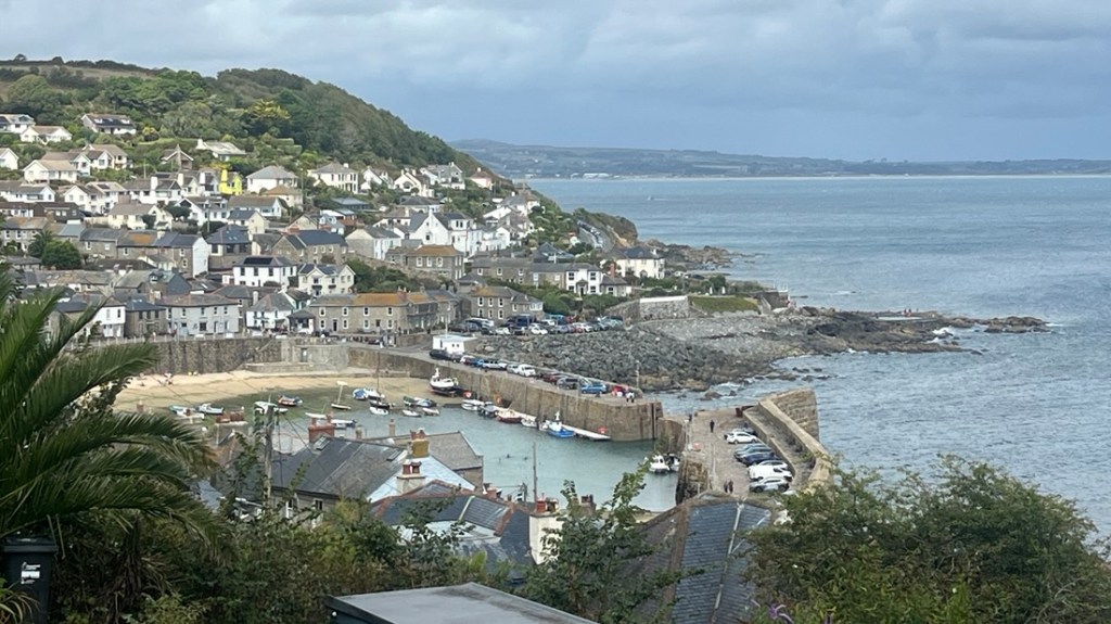
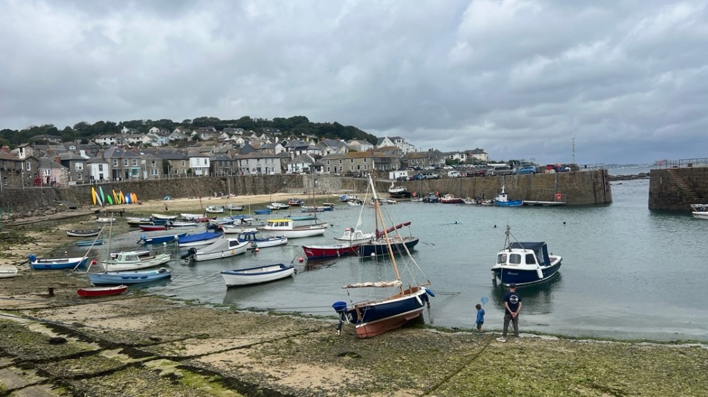
We were amazed at how different today was compared to the day before. While the scenery varied, the main change was the path’s ruggedness. We were ok with the ups and downs. The challenge was that the trail was often either steps, which we dislike, or scrambling around rocks. Our legs were happy when we arrived in Mousehole (pronounced mowzell), though after they’d been horizontal for an hour, I could reflect on another fine day!
It started off with a great simple breakfast after a fine night’s sleep. On leaving, we realized our little studio had likely been converted from a garage, with an extension.
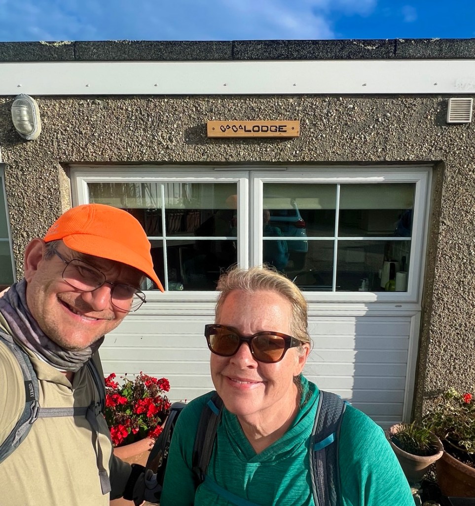
Leaving our fine little Bed and Breakfast.
Pictures tell the rest of the day’s story.
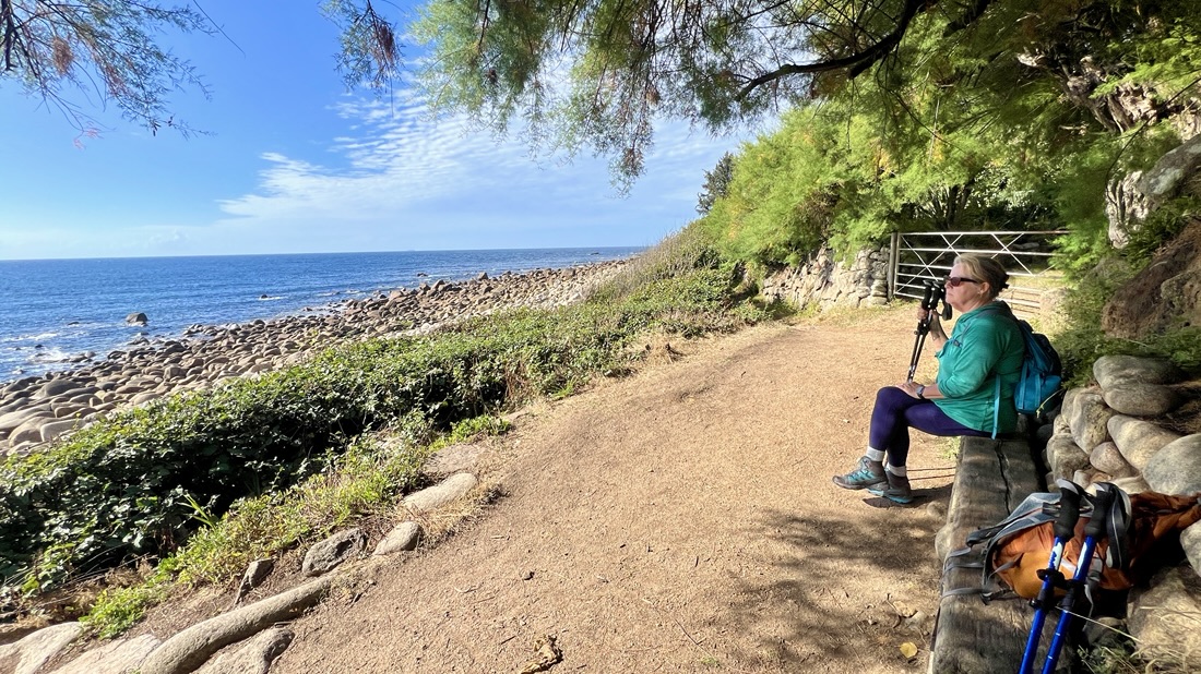
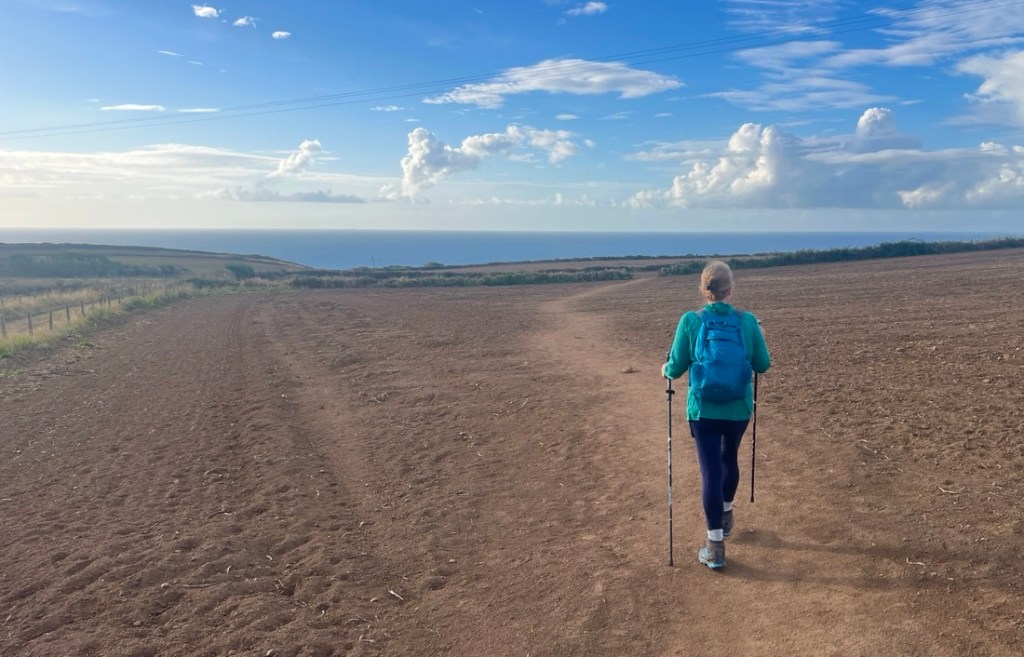
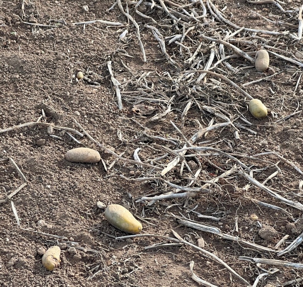
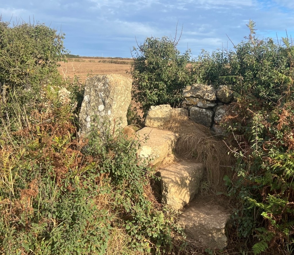
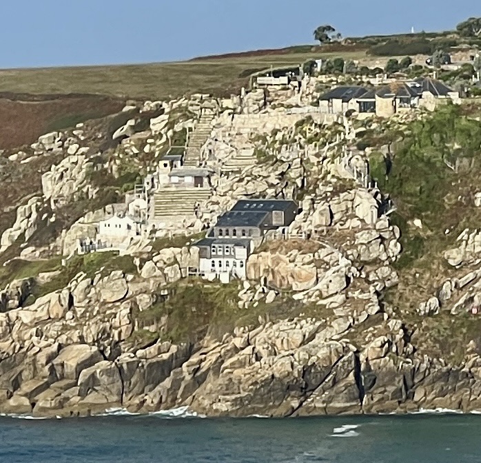
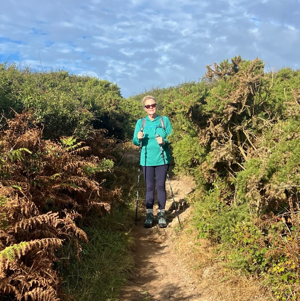
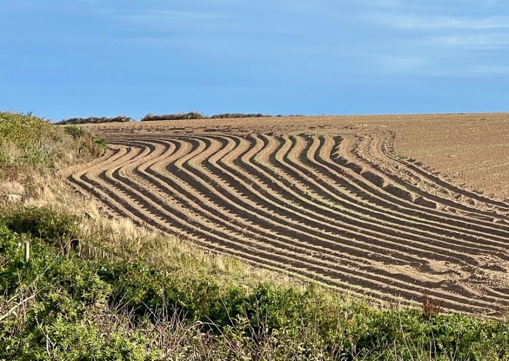
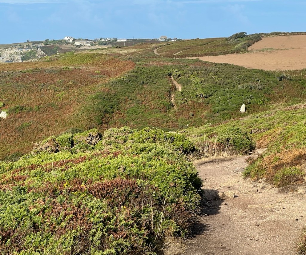
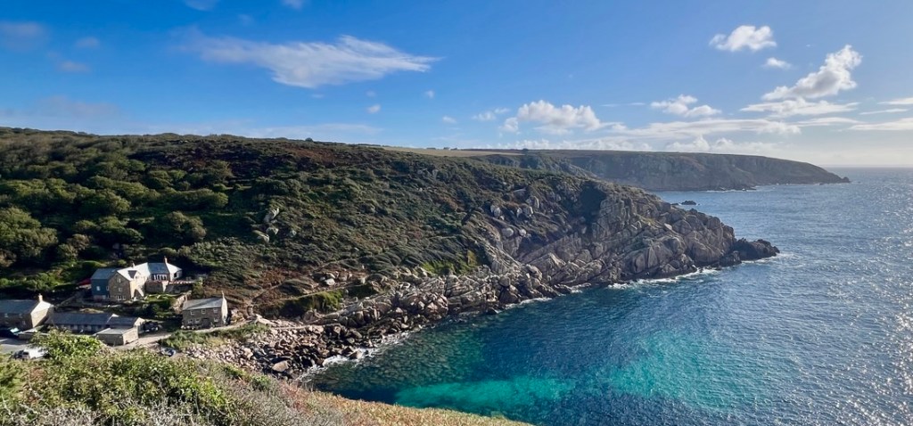
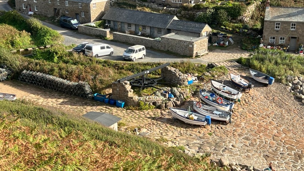
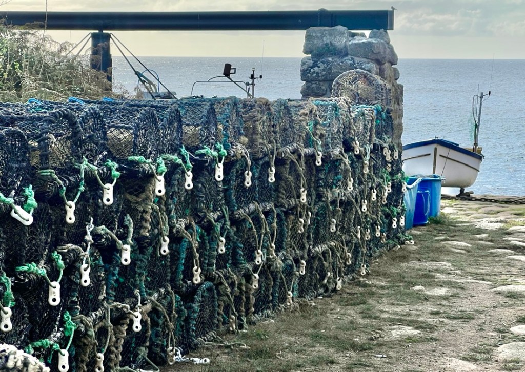
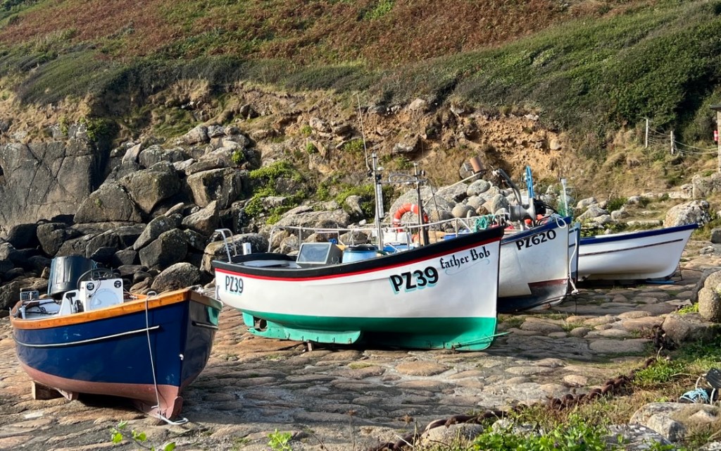
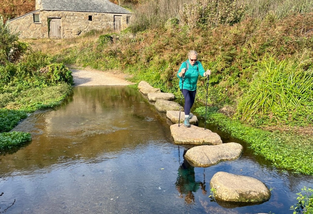
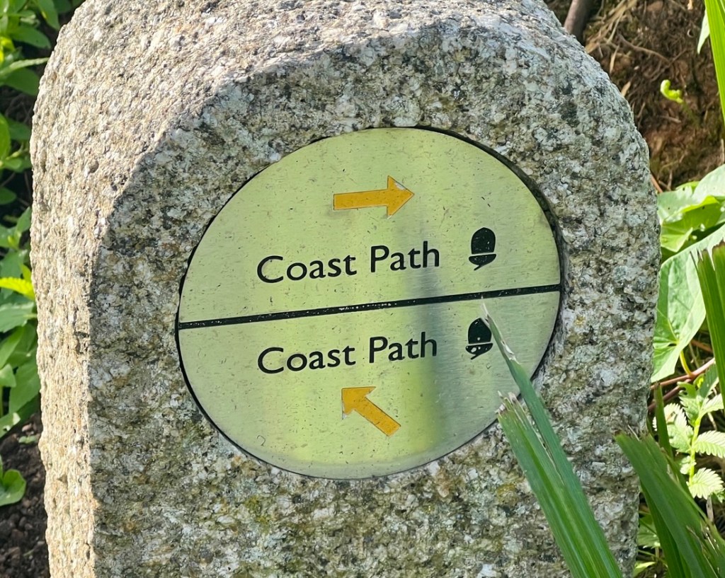
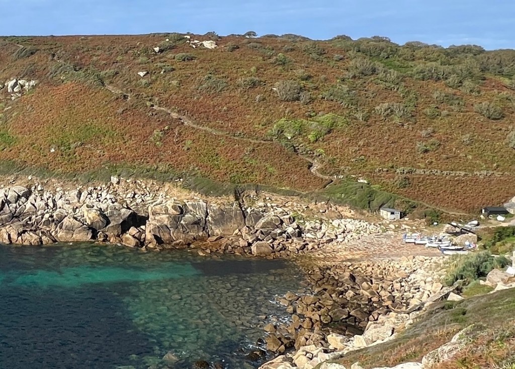
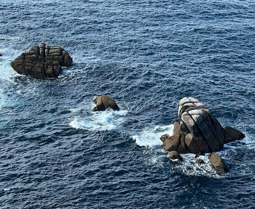
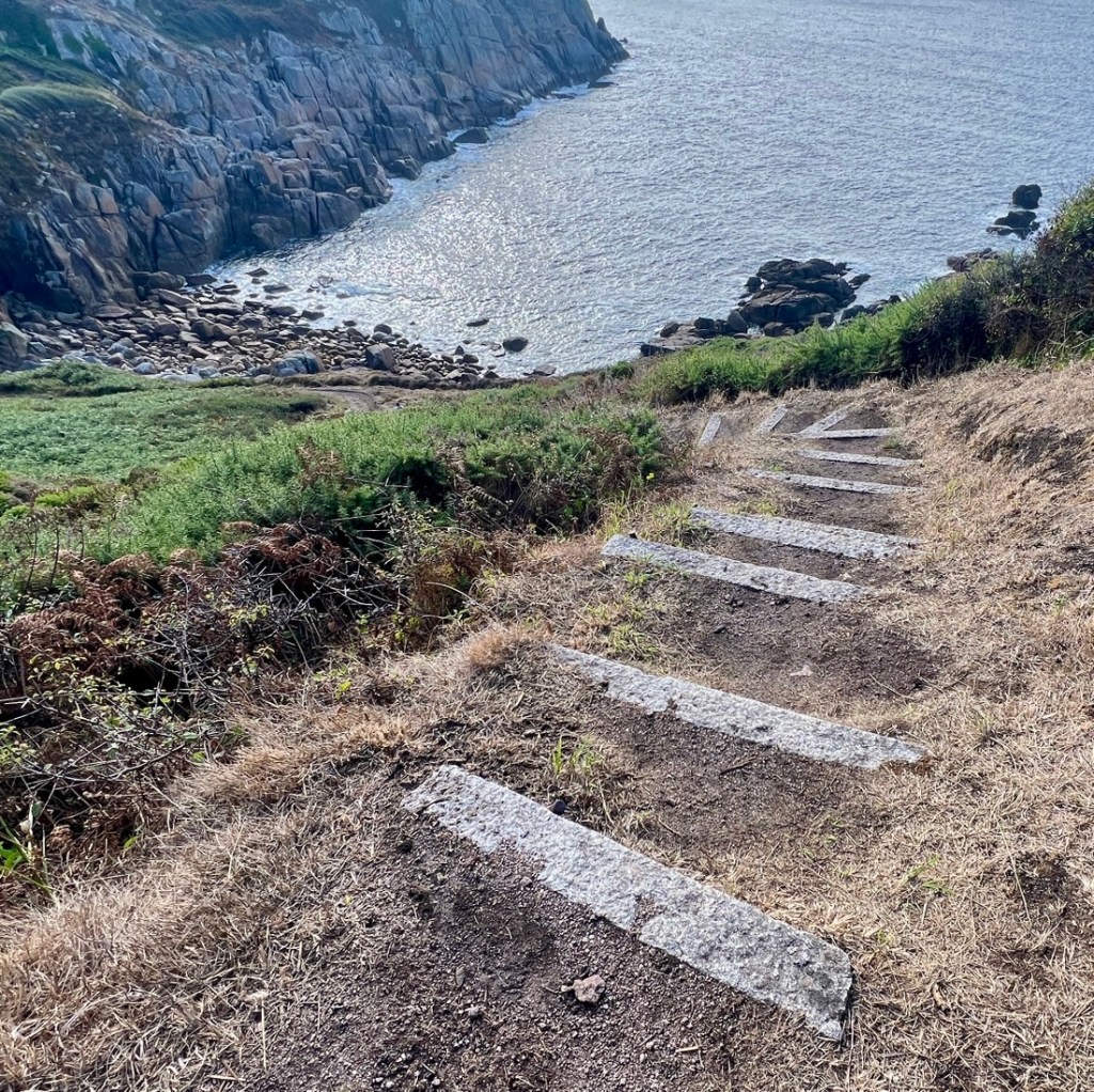
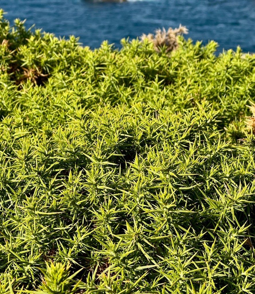
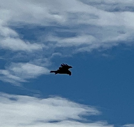
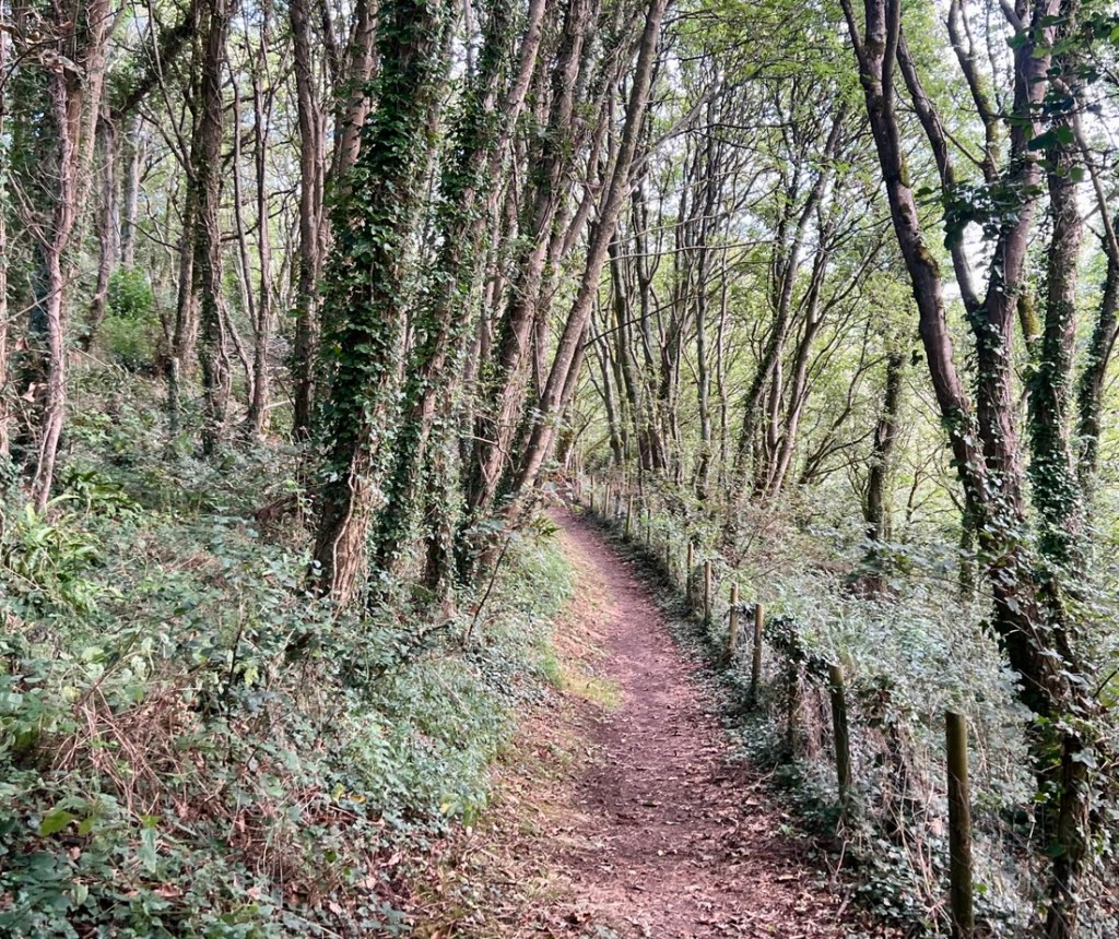
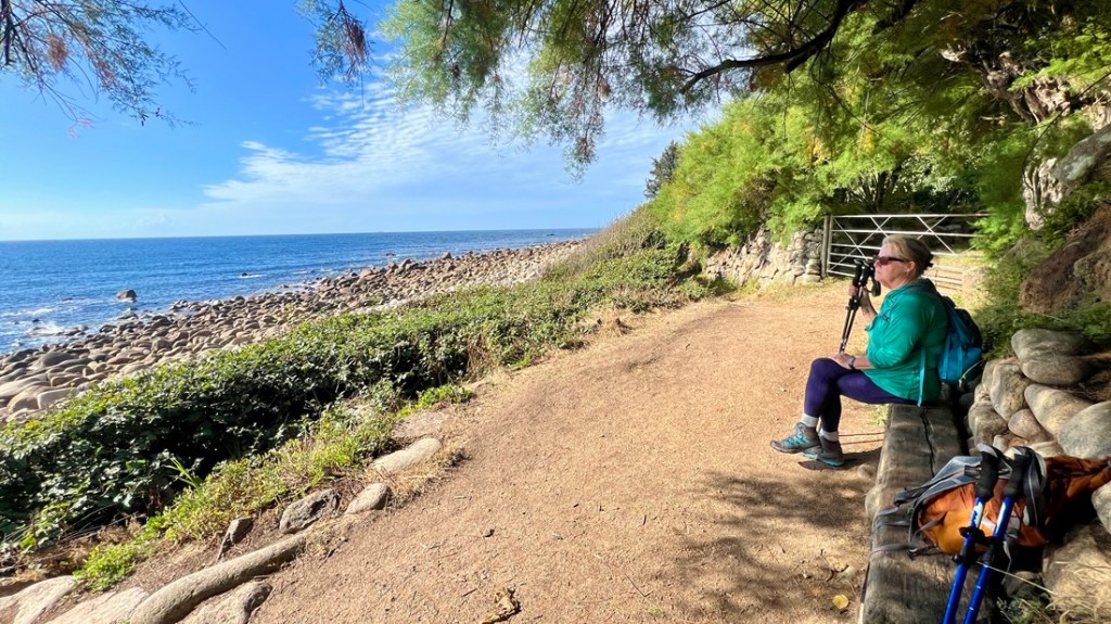
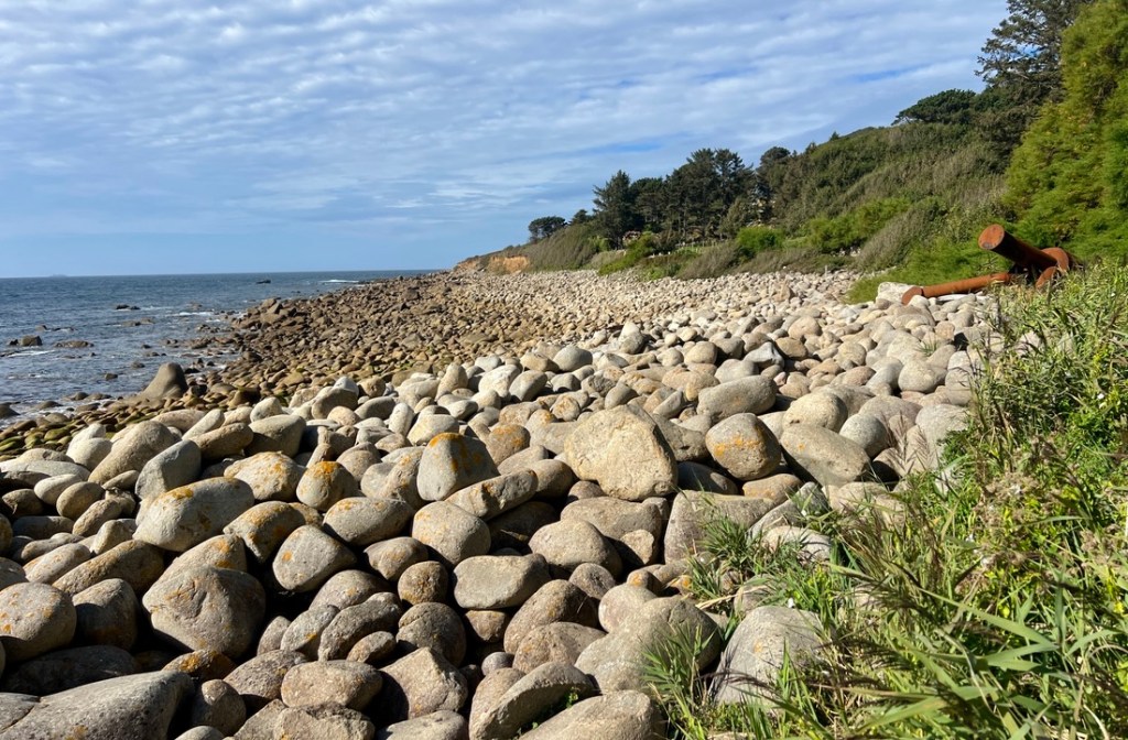
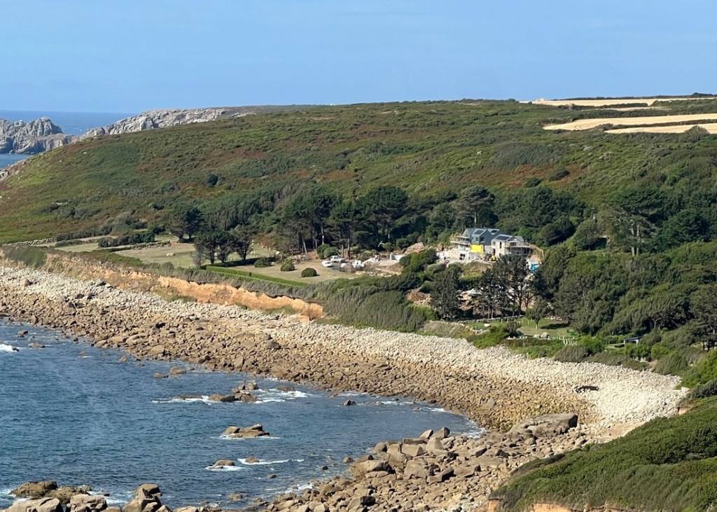
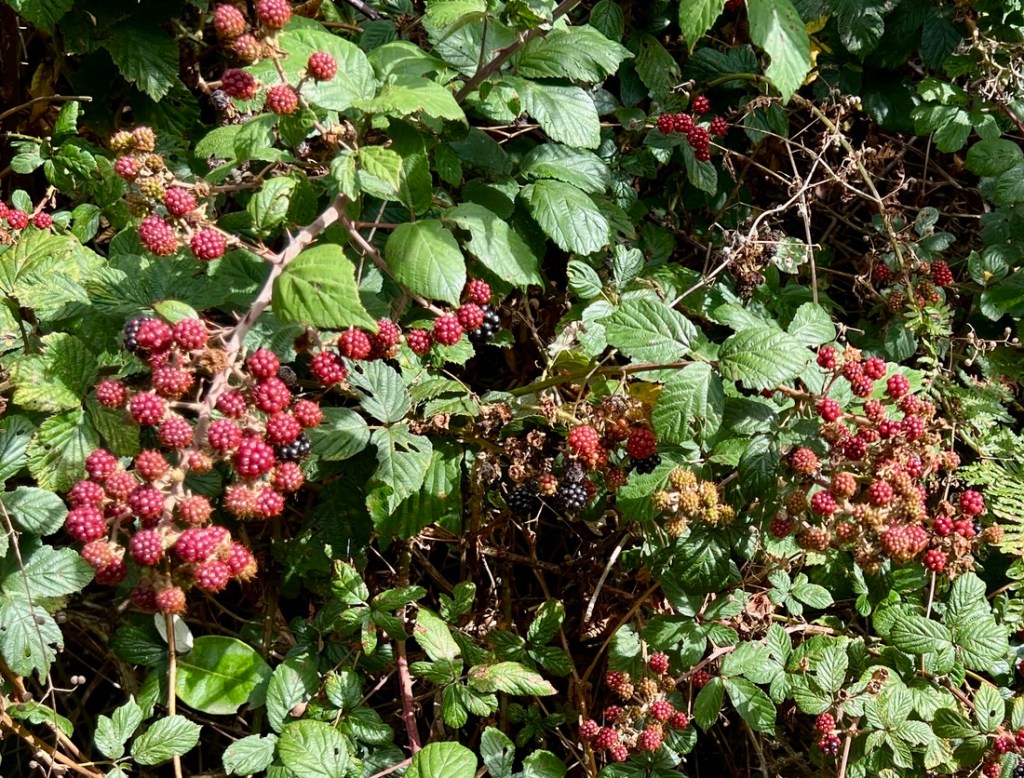
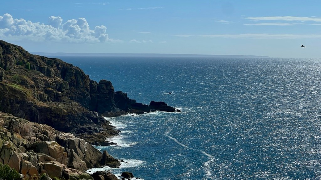
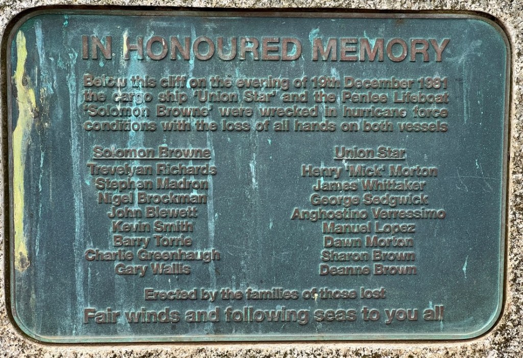
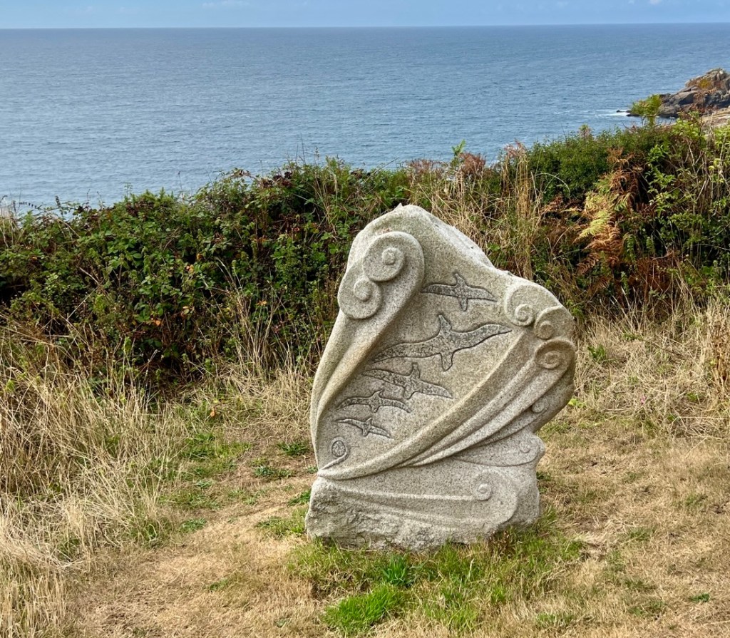
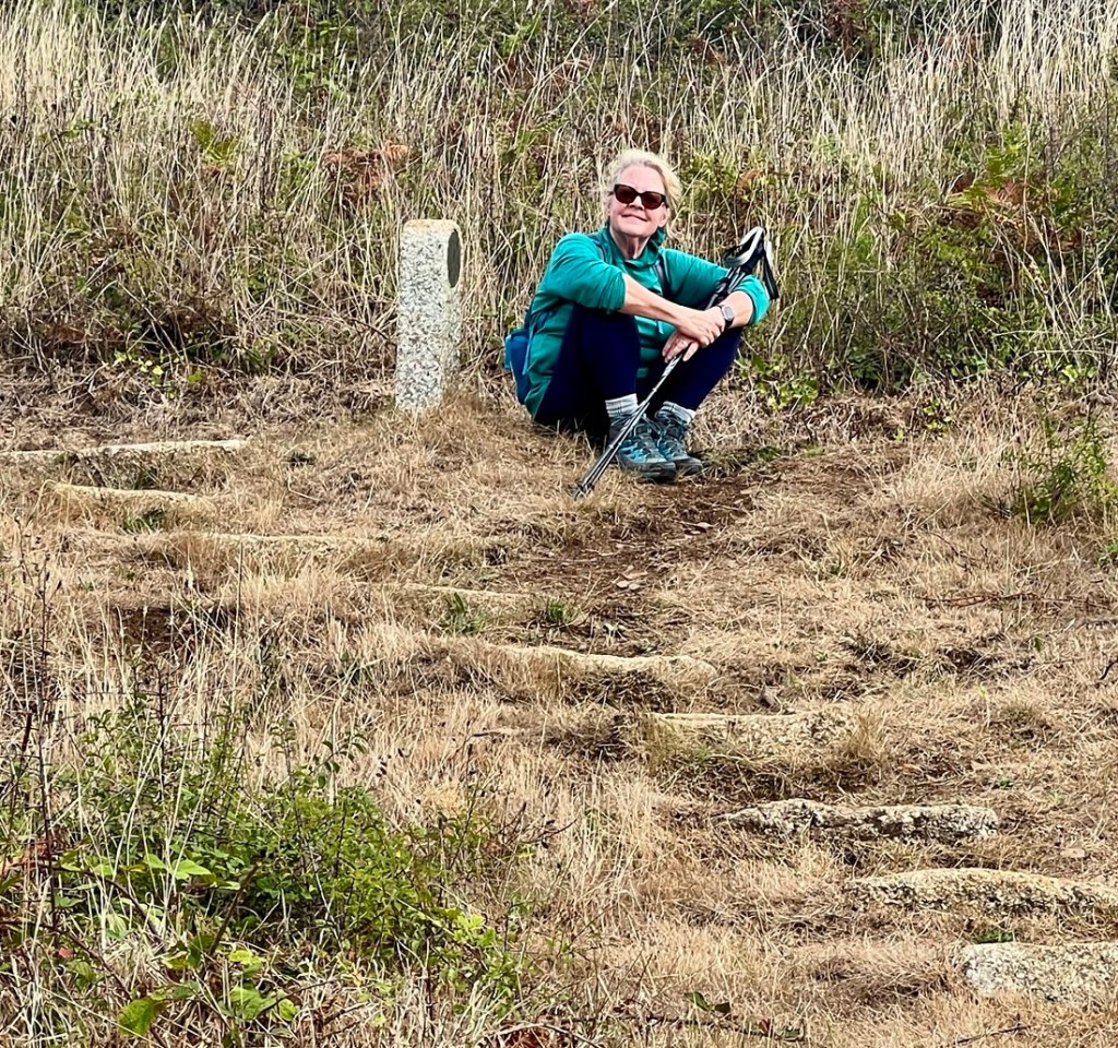
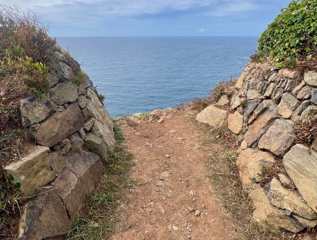
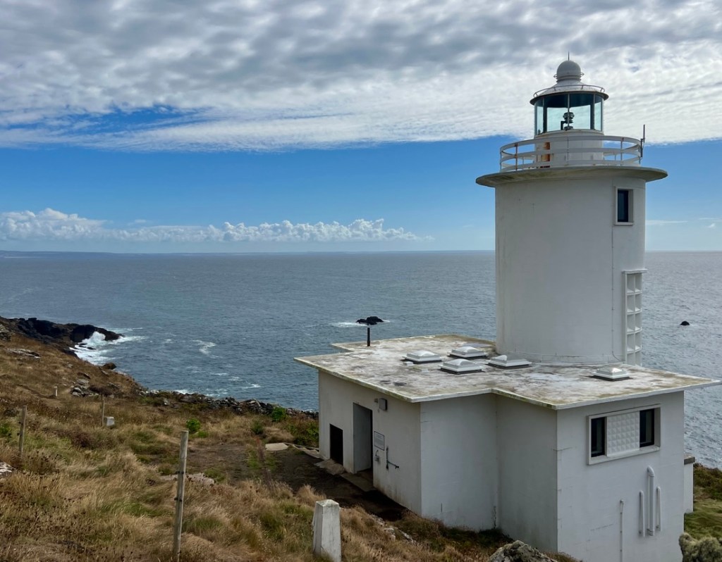
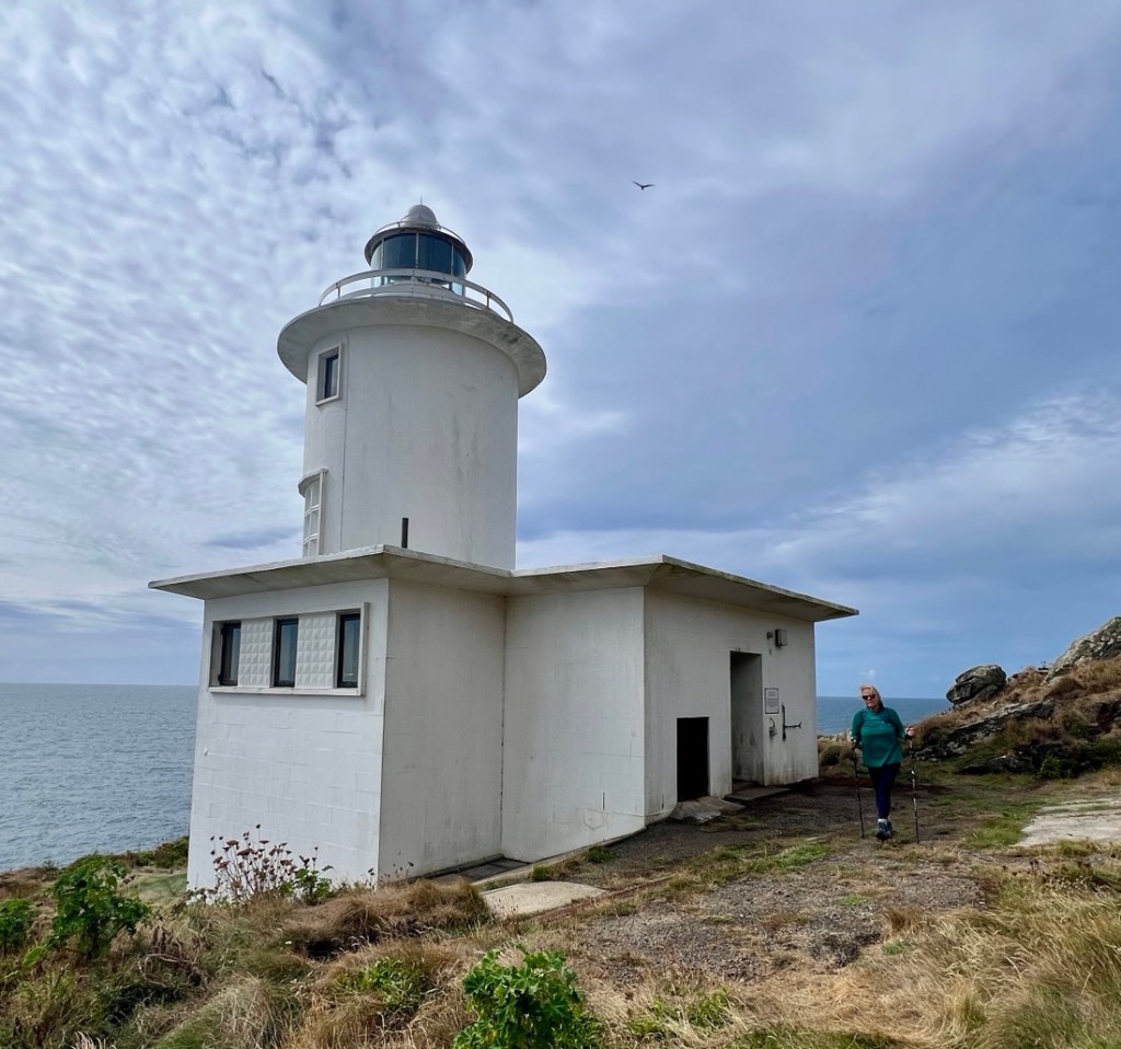
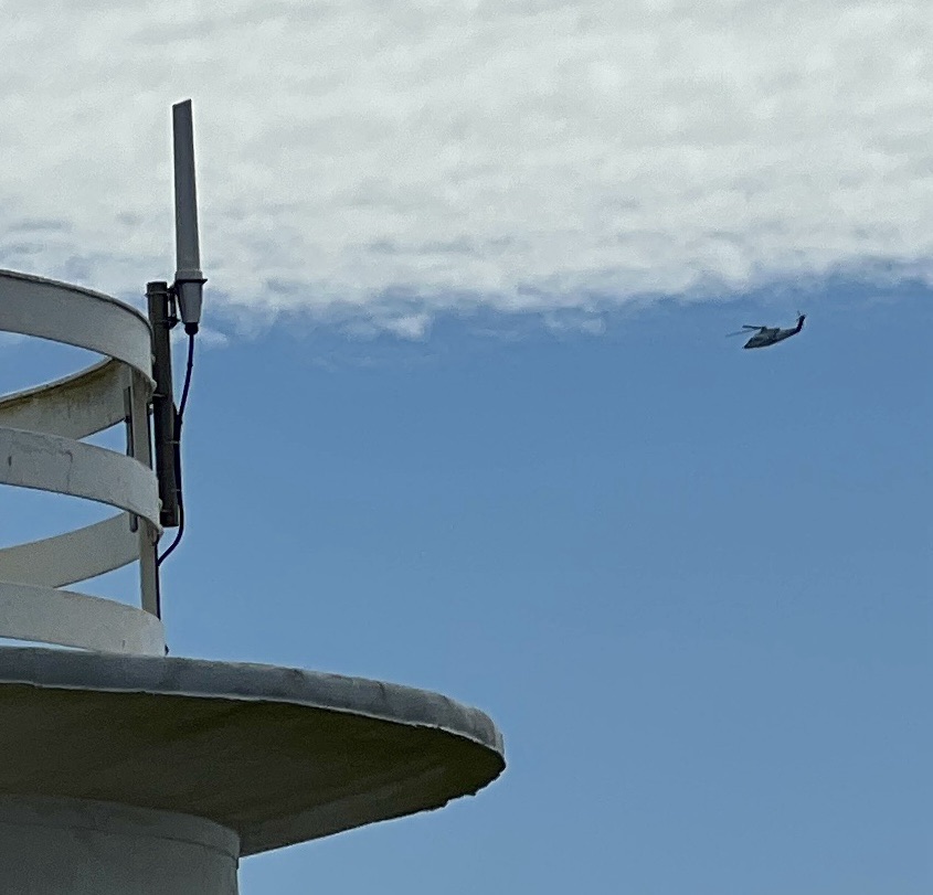
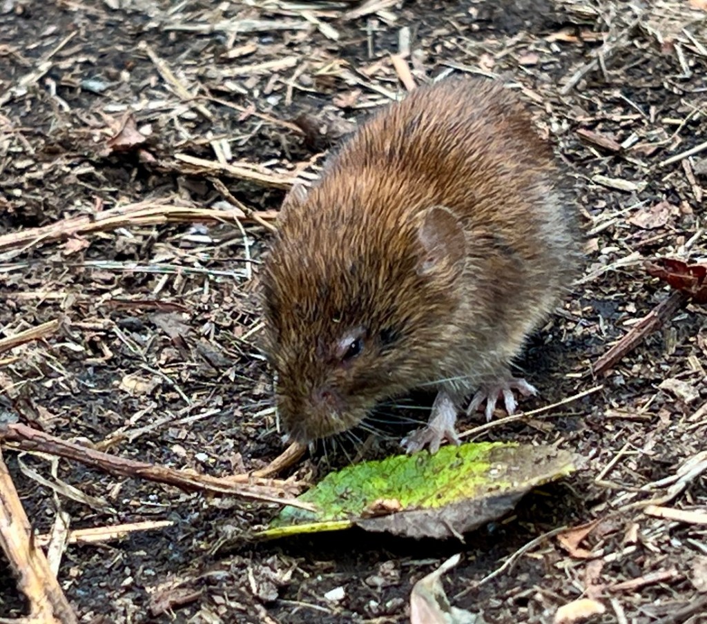
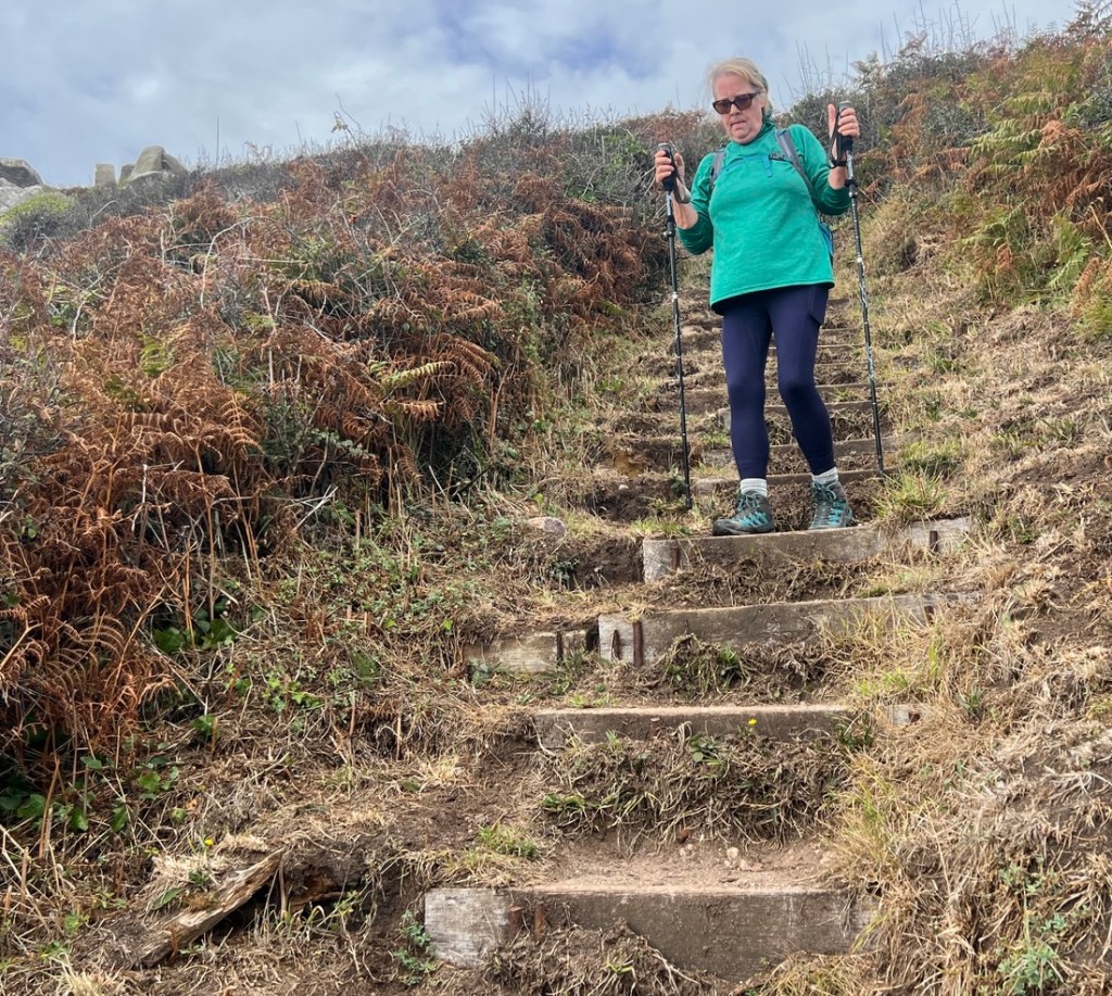
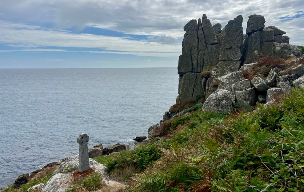
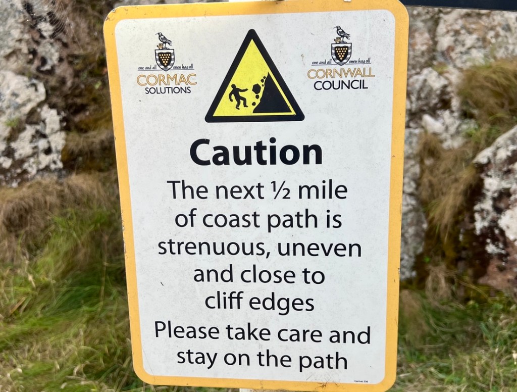
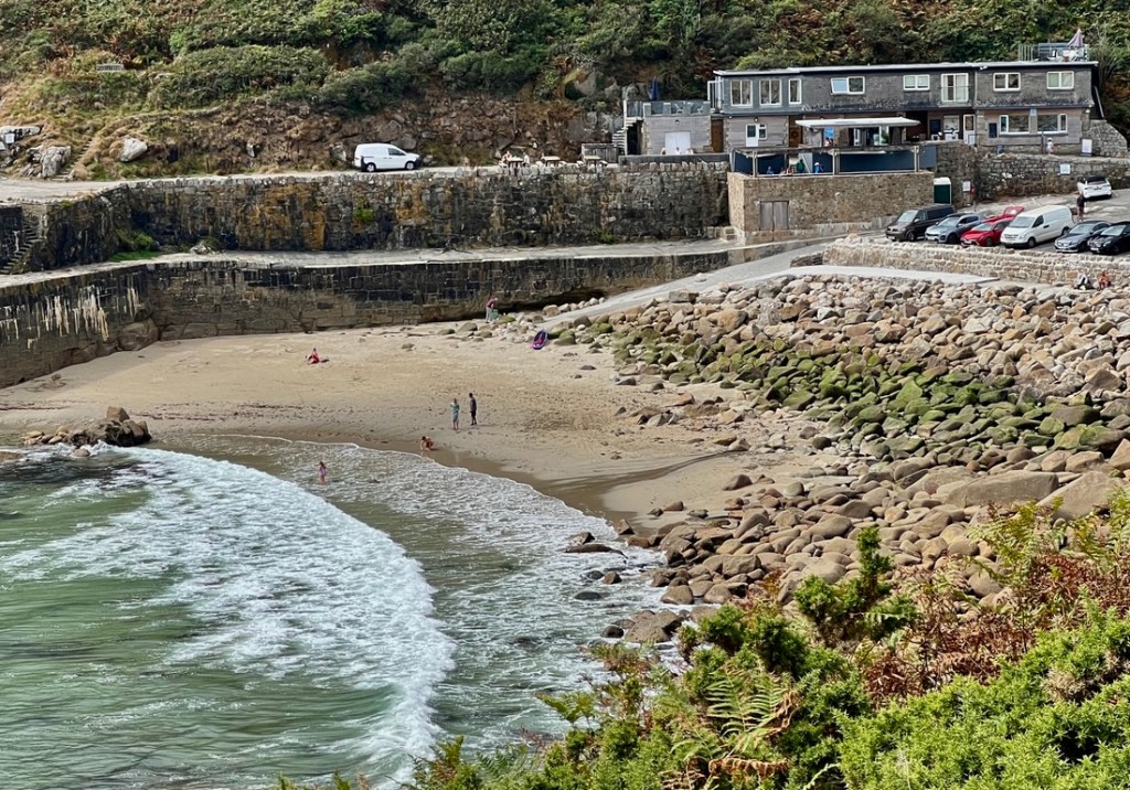
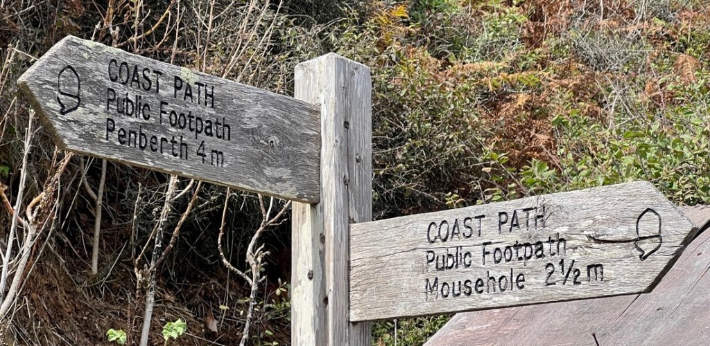
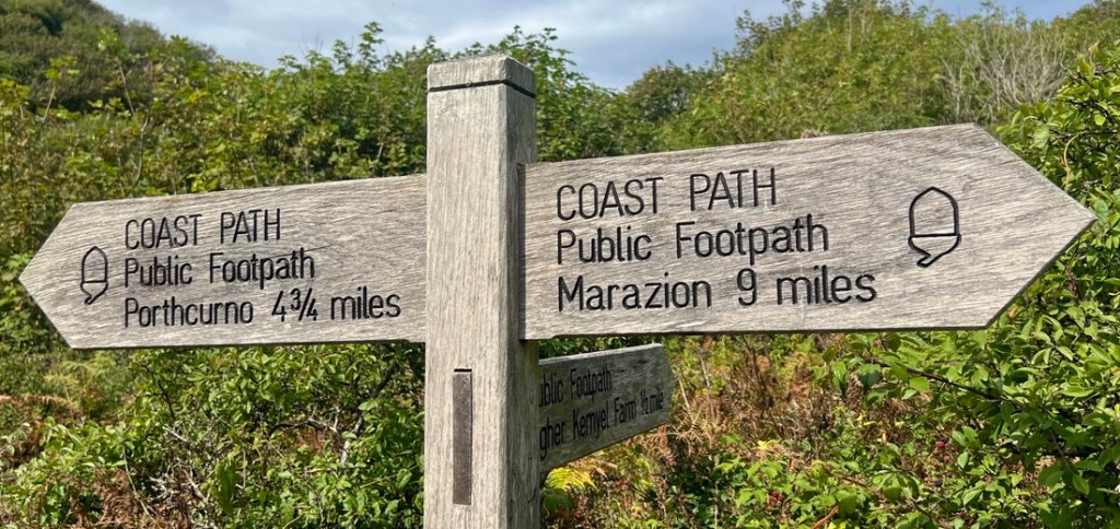
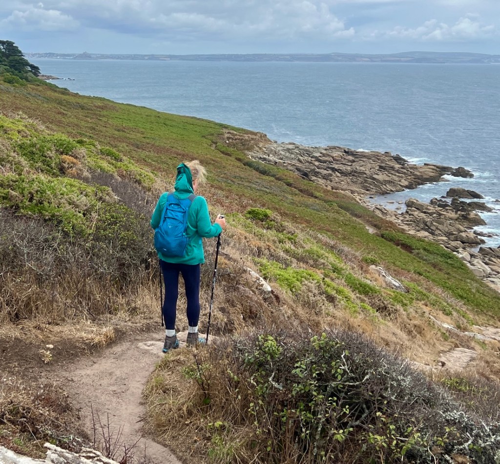
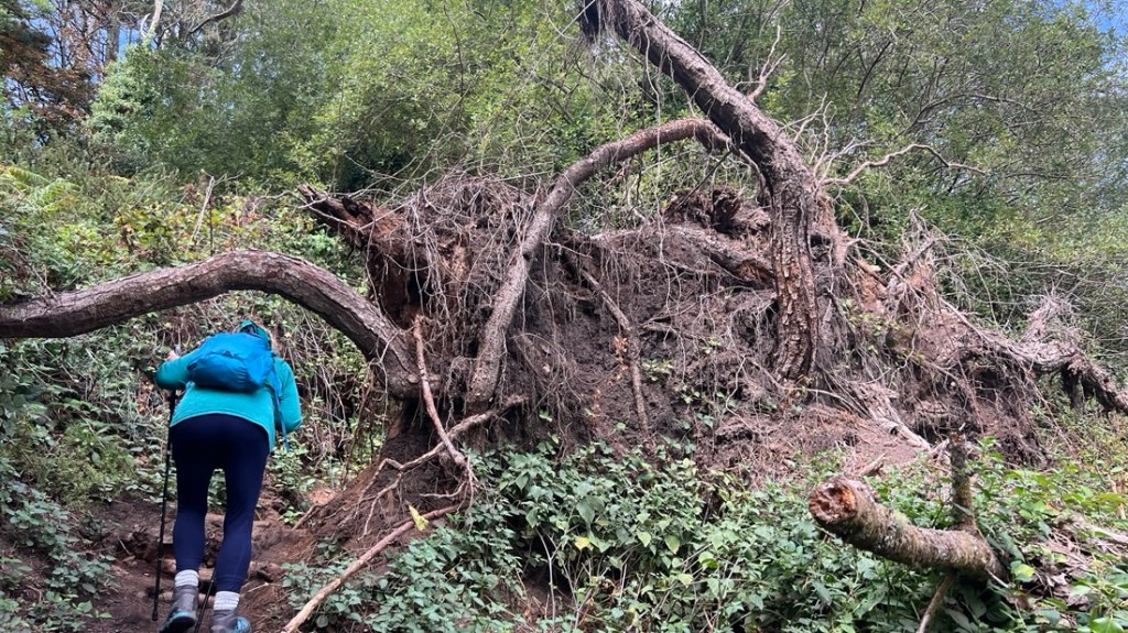
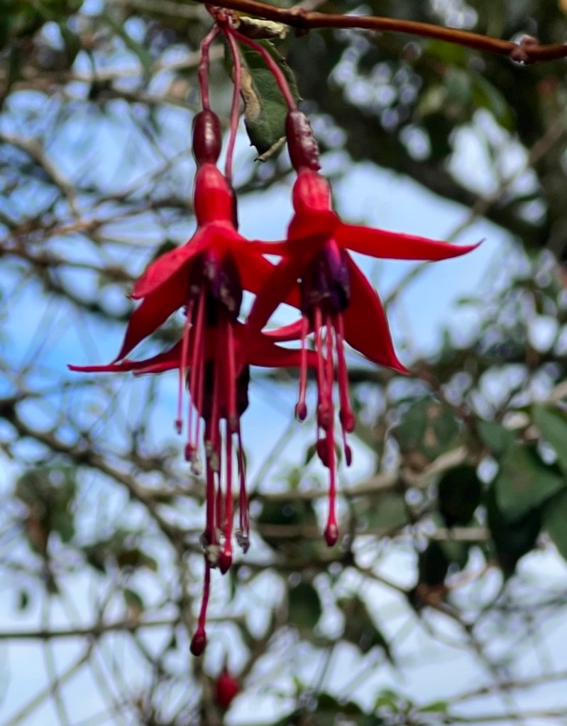
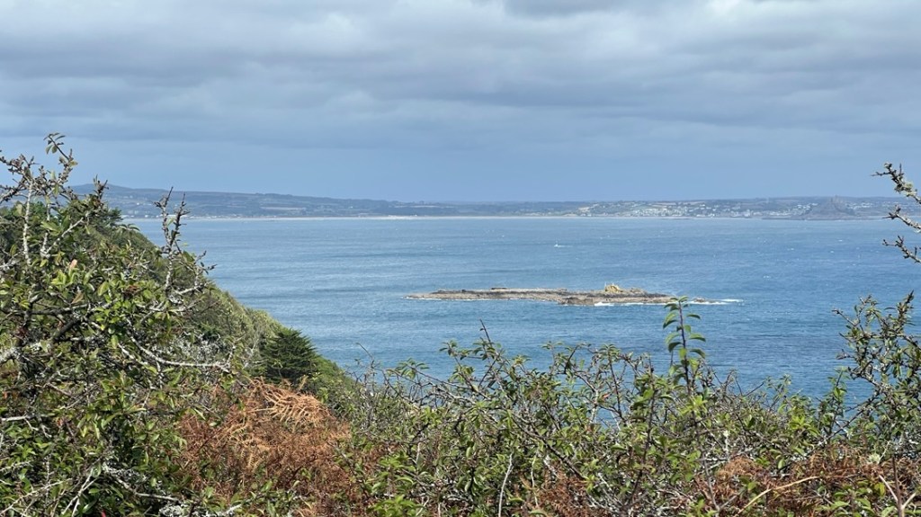
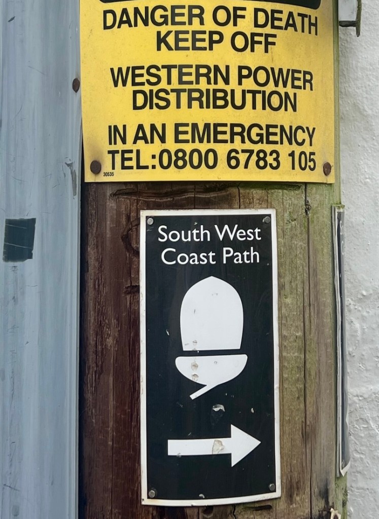
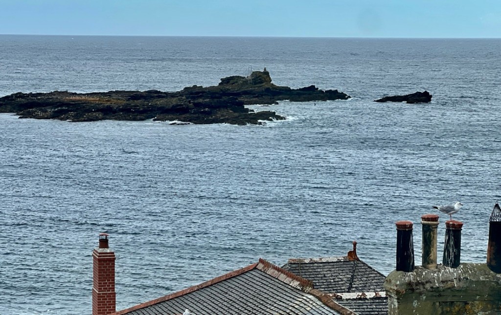
Enjoying the early morning sun as we headed across fields back to the coast path.A few small potatoes reveal the field’s crop. They started growing potatoes around here during WW2. I had some of these with my Cornish Sole for dinner!We had to scramble over this “stile” to get out of the field! A taste of the rest of the day…Well, this is what the day looked like!As we looked back across Porthcurno Bay, we spotted the Minack Theatre, cut into the rock, and remembered enjoying last night’s fine performance.At first, the trail surface was great, but the gorse bushes were getting bolder and taller!I loved how the morning sun caught this ploughed field.It was fun looking back and seeing our path through the gorse. We hadn’t climbed much yet!Looking ahead, Penberth Cove looked beautiful, and it looked like there would be other beautiful coves. But, each cove meant a down and an up! Penberth still has an active fishing fleet.Local fishermen focus on catching lobsters and crabs within a few miles of their launch. We had yummy crab for lunch and need to try their lobster!Brightly painted fishing boats remind me of doing jigsaw puzzles in my youth.A fine set of stepping stones kept us dry as we crossed Penberth River.Rugged signage kept us on the path. As is normally the case, the signage is great until it isn’t and you miss a turn. I was very glad to have my preplanned GPX track on my Garmin watch.Looking back at Penberth Cove, the water was so clear.Such cool-shaped rocks.The descent into Porthguarnon was these steps. While I marveled at their construction, it was a hard descent, especially knowing there was a similar ascent on the other side. A close-up of a gorse bushes that flanked the trail. We needed to be careful not to brush against them!Above the gorse, we spotted this seagull holding exactly the same location in gusty 20 mph winds. Amazing! Later, we saw what he probably had had his eye on…The vegetation around the trail transitioned to woodland. There isn’t much of this on the SWCP and we enjoyed the shade as the sun had got hot!Shade with a bench and a view. What more could we ask for!After the fine bench were 150 ft of hopping wobbly rocks. It was not our favorite moment!Looking back towards St Loy’s Cove, we could see the huge property that we’d passed behind on the trail. It is the St Dellan and was featured in Britain’s Most Expensive Homes show on TV. It is certainly remote and secluded. On this section of trail, we had met very few other people.A quick yummy snack, and a free distraction for the next hour as you work a seed out of your teeth!As the view ahead opened up, we spotted land in the distance. It was the Lizard Peninsula. We will be there in three days as we walk around the large Mount’s Bay. It always amazes me how much ground you cover when walking.We passed a memorial to the Penlee Lifeboat disaster. It was next to the site where, in December 1981, the Solomon Browne, the Lifeboat from Penlee near Mousehole, sank in hurricane force winds, with all hands, when trying to save seamen from the grounded Union Star, which also sank with all hands. Janet enjoyed NOT walking down these steps to the memorial!The trail appeared to take us off a cliff. It nearly felt like it!The trail took us to this fine lighthouse.One of many helicopters that shuttle customers to the Scilly Isles, 28 miles off Land’s End, thundered overhead while we were at the lighthouse. This Bank Vole was hanging out in the middle of the trail, just waiting for a seagull to come an grab him!More beautifully-built steps!A Celtic cross alongside some cool rocks as we approached Lamorna.On entering the small village of Lamorna, this sign belatedly warned us about the section. Therapeutically, that night, I read a comment in the SWCP Facebook group that the trail around Lamorna was the toughest of the whole 630 miles. We had hope!We enjoyed a fine crab sandwich from a cafe, in the grey building, overlooking the cove.The finger posts look helpful, but their suggested mileage was significantly less than what our map told us!This flatter stretch of path took us along the coast, but note Janet’s creative way of using her hair clip to get her hood to protect the back of her neck from the sun!With woodland comes fallen trees, though this one had been down many years.These fuchsia were an example of many wildflowers that grew by the path.We were happy when we spotted the sands in front of Penzance, which we will pass by tomorrow, but our legs were ready for Mousehole.We were relieved to enter Mousehole, the day’s destination.In town, we spotted the first SWCP sign that we had seen. The warning above seemed appropriate after this day!The view from our hotel’s bedroom window.
We appreciated the short walk to dinner in our pub/hotel’s restaurant, and looked forward to tomorrow’s six miles of easy, flat road walking! We knew that days that were even longer and hillier than today’s were coming!
"Cajunlimeys" combines Lousiana (Janet) and Britain (Peter). British sailors in the 19th century were nicknamed "limeys" as they drank lime juice to prevent scurvy. However, while Janet is a fine cook, she has no Cajun blood, but the name fit.
We love adventures and use blogging to write a photo diary to preserve our memories. Some crazy friends enjoy following us, and my notes might help others plan.
View more posts