
There is a twenty-mile National Recreation Trail about two hours north of Houston in the Davy Crockett National Forest, starting at Ratcliff between Crockett and Lufkin. It is named after the Central Coal and Coke Company (Four C), which operated the largest sawmill west of the Mississippi there from 1902 to 1918. I finally completed the trail with my hiking buddy Vance in April 2026, and below is our trip’s story. I have also written “A Guide to the Four C National Recreation Trail” to help others plan an adventurous visit.
In summary, I loved this hike. Writing it up with this blog has made me appreciate it even more. To some, the Four C might seem like any other East Texas forest. For me, the wilderness, bridges, history, blowdowns, and hiking buddy all made it a memorable adventure.
Background | Preparation | Day 1 Hiking | 0.0 to 2.0: Around Ratcliff Lake | 2.0 to 6.4: The Southern Section | 6.4 to 6.95: Private Land | 6.95 to 8.5: Big Slough Wilderness Part 1 | Camping | Day 2 Hiking | 8.5 to 8.9: Big Slough Wilderness Part 2 | 8.9 to 9.35: Big Slough Wilderness Part 3 | 9.35 to 15.3: The Central Section | 15.3 to 19.9: The Northern Section | Reflection | Survey Result
Background
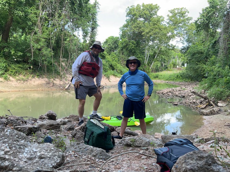
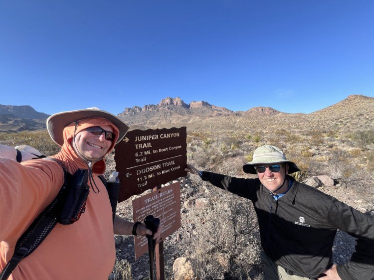
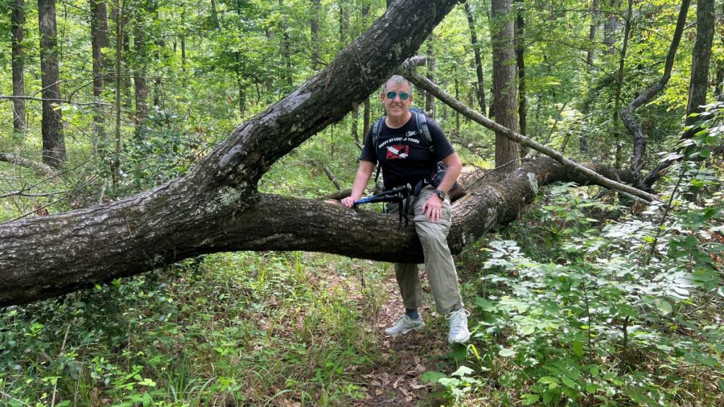
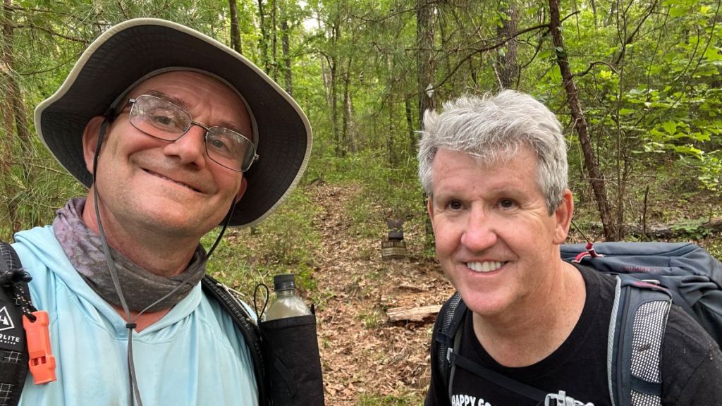
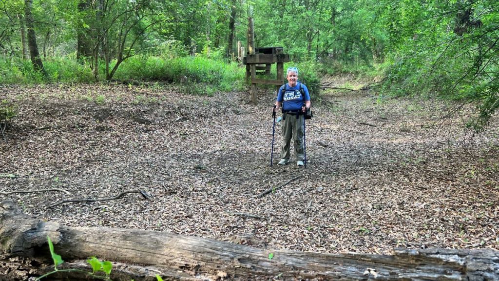
When I discovered that the Four C trail was open and accessible, having been closed for several years due to tornado damage, I immediately thought of hiking it with my buddy Vance. He had been the troop’s Advancement Chair for my son Samuel’s Scouting Journey, and I knew that our backcountry skills complemented each other. He had been crazy enough to join me on a kayaking adventure down the Buffalo Bayou. When Samuel left for college, I persuaded Vance to reduce his pack weight the hard way: taking him around, or rather up and down, Eagle Rock Loop in Arkansas in November 2024. After that gruelling trip, we embarked on arguably the most exciting backpacking trip in Texas: Big Bend’s South Rim and Outer Mountain Loop in February 2025. Now, it was time to get him back on the trail! Ironically, during our Four C hike, we both remarked how the toenails that we had lost on those previous hikes had only recently grown back!


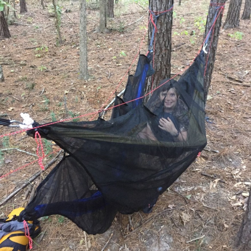
I found sufficient information online to plan the trip, knowing from our previous experiences that we could comfortably complete the twenty miles over two days. In September 2017, I had hiked four miles of the trail with Samuel to test out some hammocks, so I knew the conditions were similar to other familiar trails in East Texas, such as the Trail Between the Lakes (TBTL) and the Lone Star Hiking Trail (LSHT).
Preparation
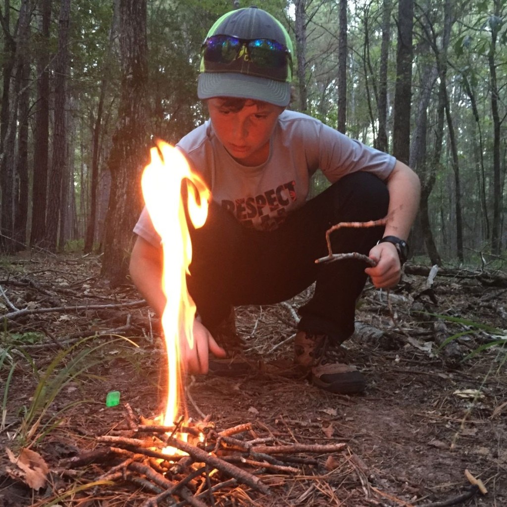
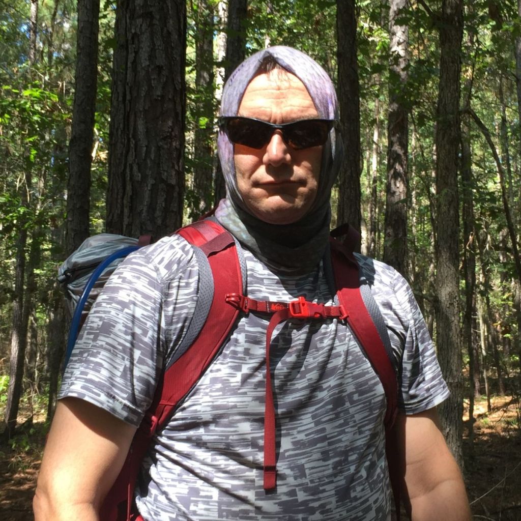
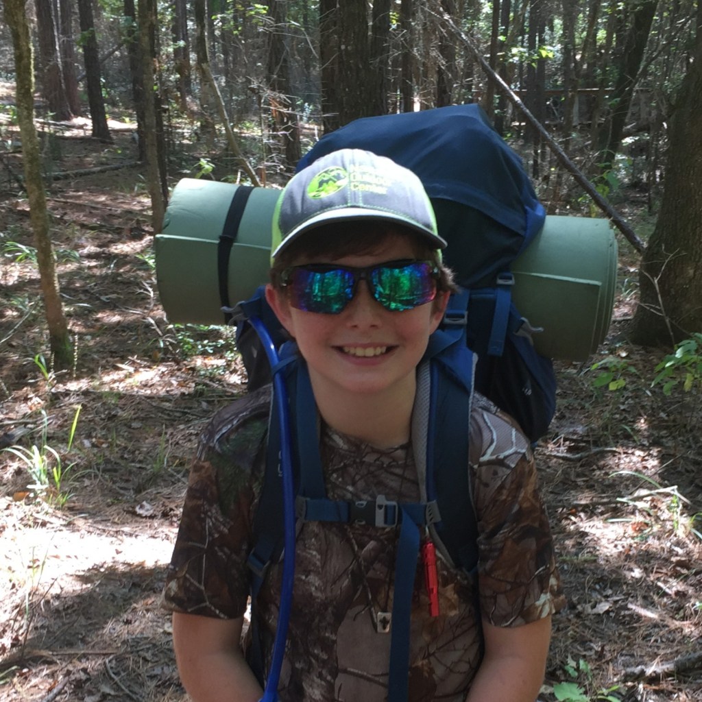
Cameron Hall’s YouTube video gave me confidence that the trail was well within our capability. The weather forecast predicted a high in the mid 80s degF on our first day, an overnight low of 68, a chance of showers in the morning, and probable storms in the evening on the second day. We both pretreated our clothes with Permethrin, which was effective against ticks. With warm temperatures and just one night of camping, I chose to aggressively reduce my pack weight, bringing my light one-man tent, just a sleeping bag liner, and no waterproofs, water filter, extra socks, or sunglasses. I was very pleased with a dry weight of 9.2 lbs, and a total pack weight with water and food for two of 16 lbs. Vance was comfortable with his 20 lb pack.


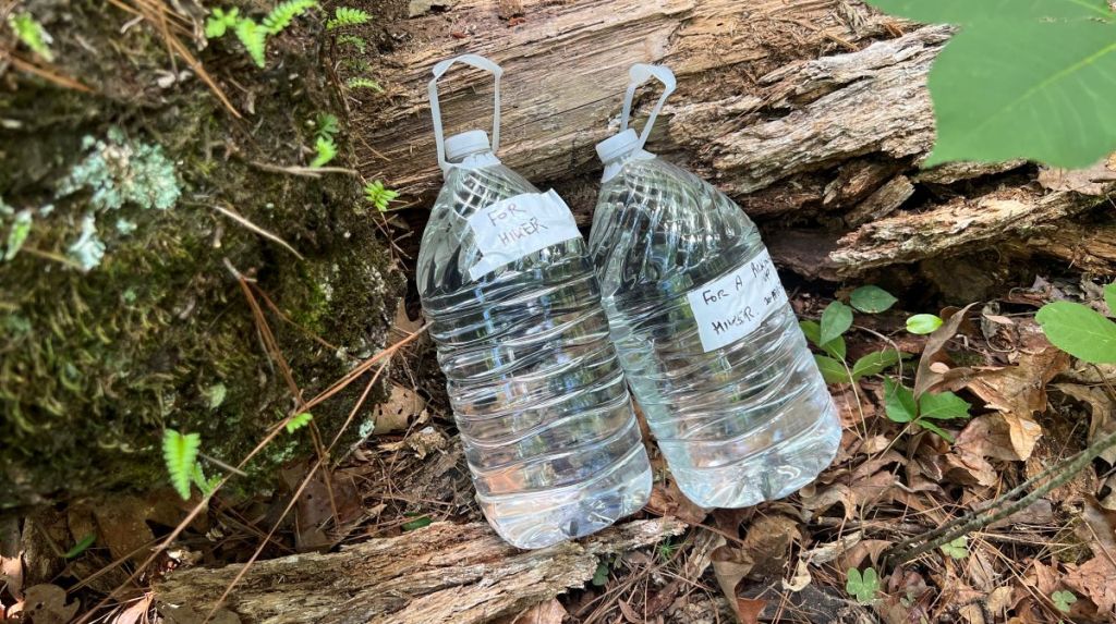
I headed to the trail first to place a two-gallon water cache around the 7.75 mile mark, using the connector trail from the small parking area on County Road 1175. I ended up getting very thirsty on the first day and would have liked more than the two liters I carried, but I was working hard clearing branches off the trail that I could without a saw. With the second day being cooler, the two-gallon cache was a perfect amount to supplement the two liters that we started with.

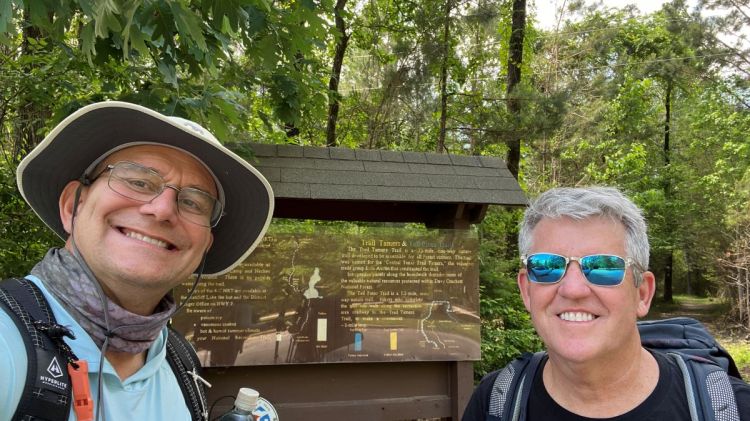
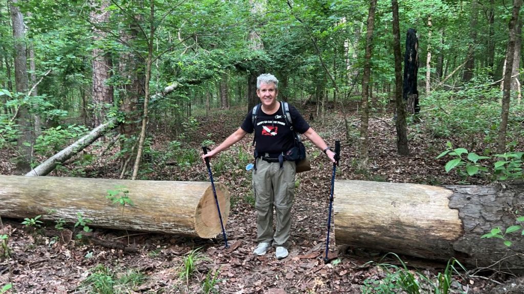
I then headed to Neches Bluff. There is a direct route on Forest Service Road 511, which is labelled on the map as “4WD Recommended.” As it had been dry for a few days, I expect this road would probably have been fine, but I did not want to take a chance, so I drove back to FM 227 near Ratcliff, took it to Highway 21, turned onto Forest Service Road 511-3, and arrived at the northern trailhead. Vance arrived at 12:45pm, and we headed south, leaving my car to be picked up at the end of our hike.
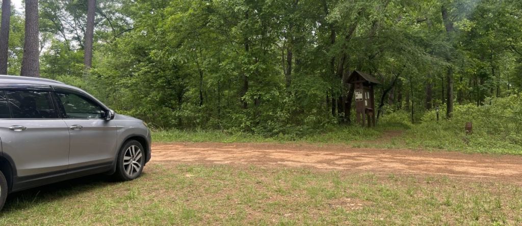
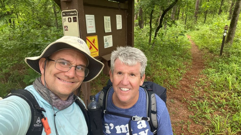
We headed to Ratcliff Recreation Area in Vance’s car. We paid our day-use fee, parked at the trailhead, and were heading out at 1:30pm.
Day 1 Hiking
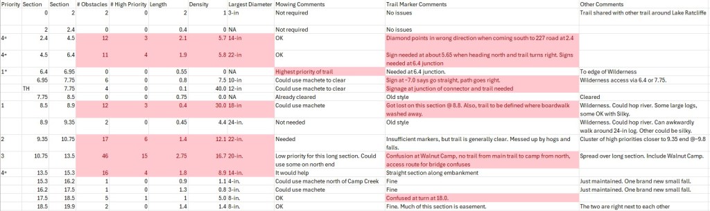
In addition to completing our hike, I wanted to survey any fallen trees that obstructed the trail, so that I could create a map showing their precise locations with photos and diameters. I had found that such a survey was very useful for trail maintenance teams on the TBTL. However, I struggled to survey and photograph any obstacle that I thought we could move, so we moved about as many small fallen trees as I photographed.
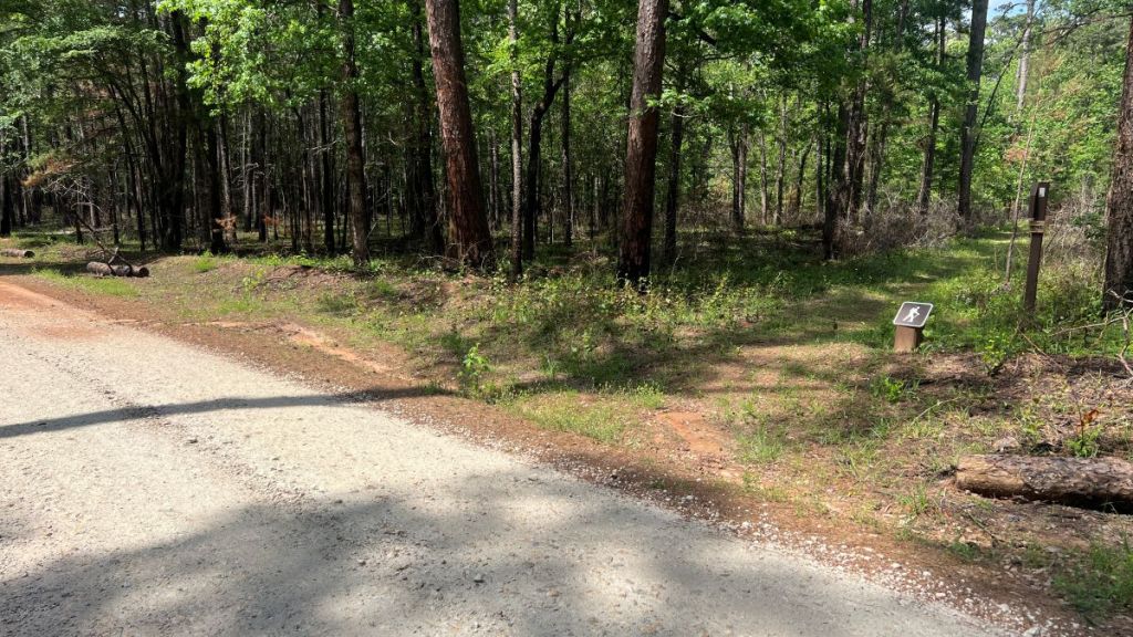
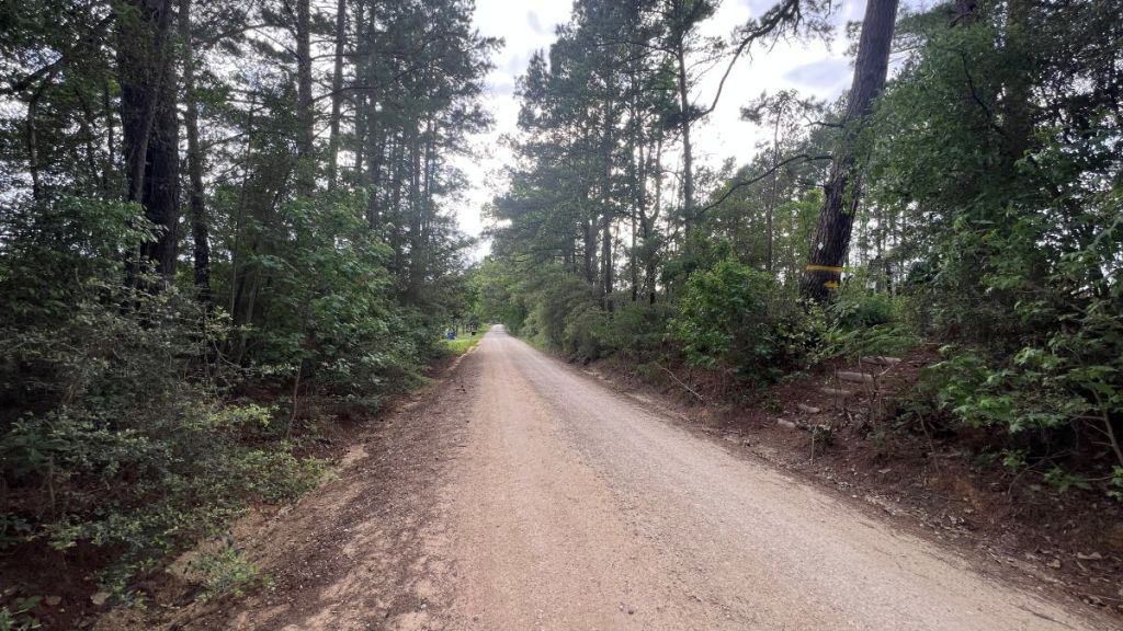
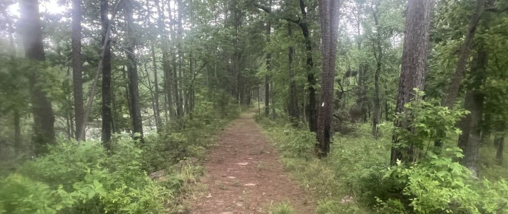
0.0 to 2.0: Around Ratcliff Lake
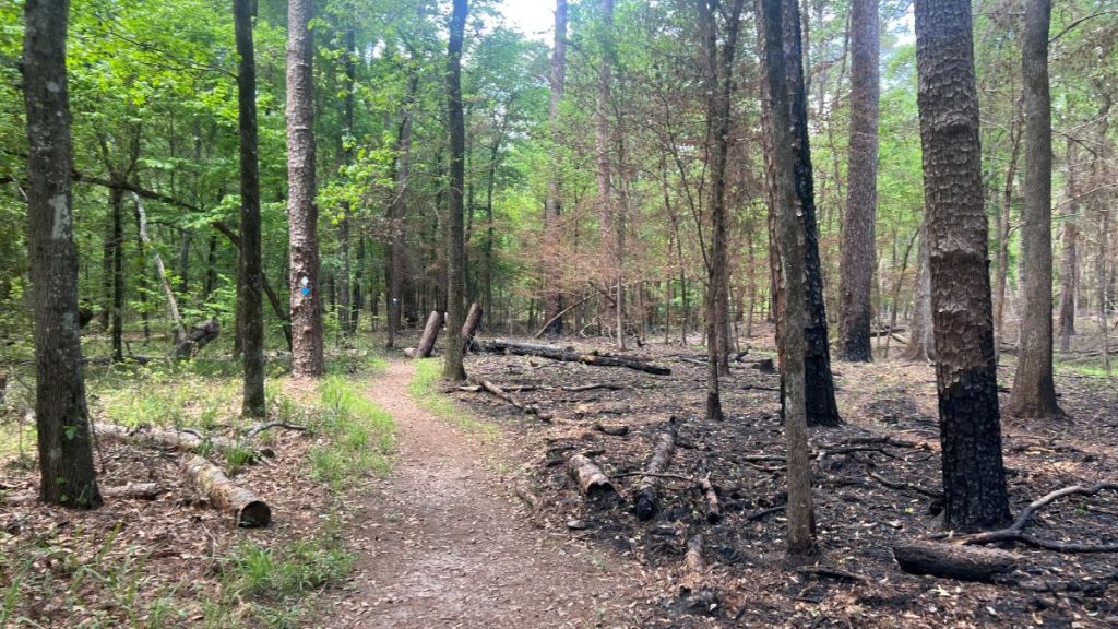
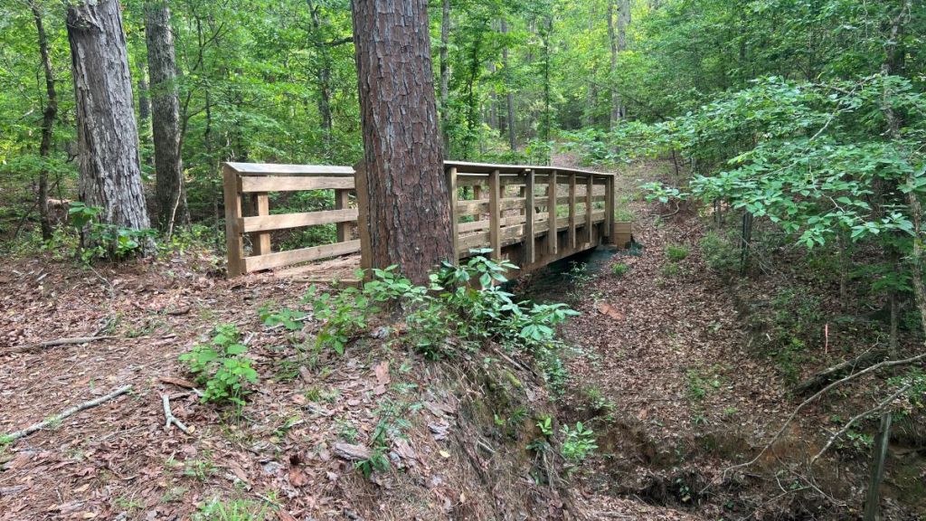
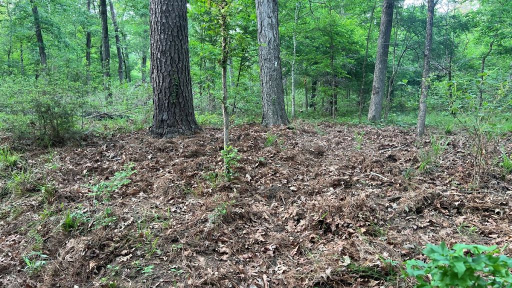
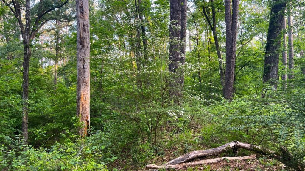
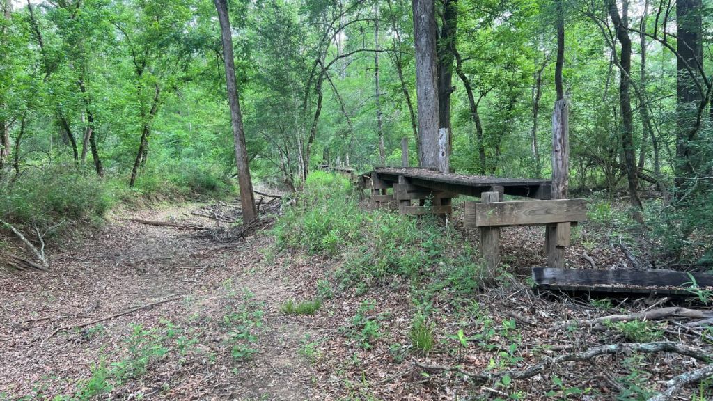
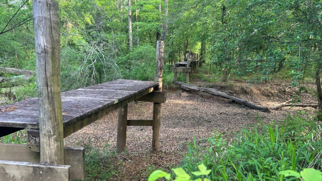
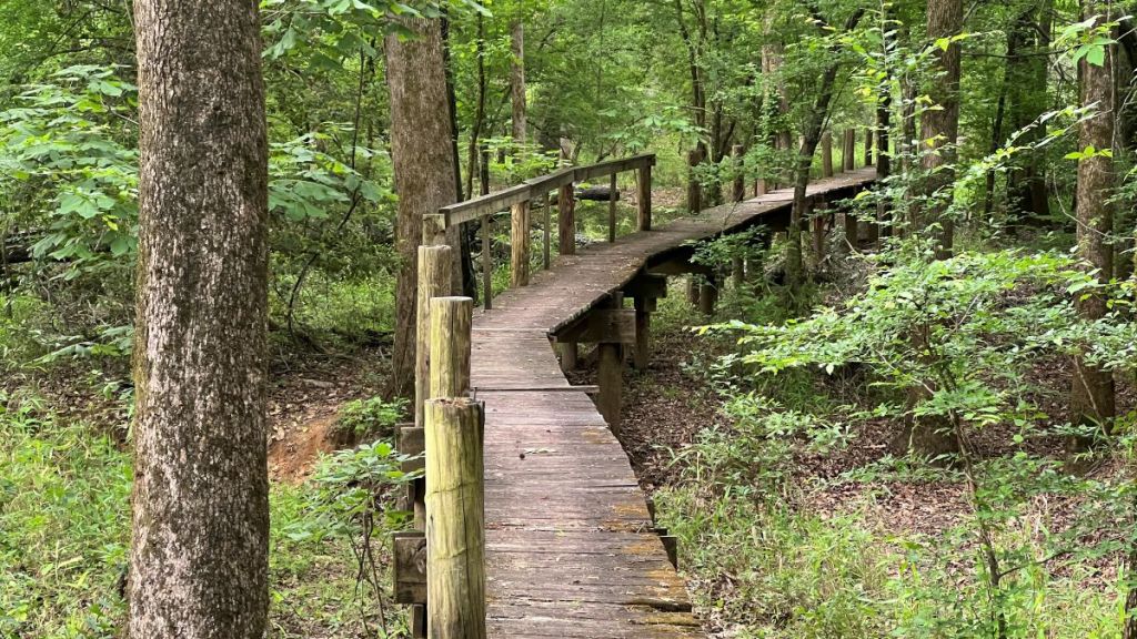
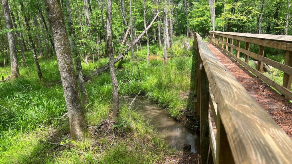
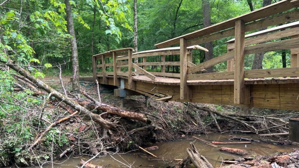
The first 1.5 miles of the Four C shares its path with the Tall Pines Trail. This section is broad and well-defined. There were some robust bridges over areas that I expect are underwater in wetter conditions. A recent controlled burn by the Forest Service added variety to the landscape, and the rejuvenated forest was already growing back.
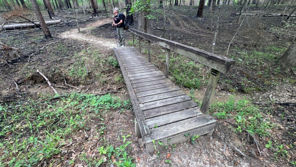
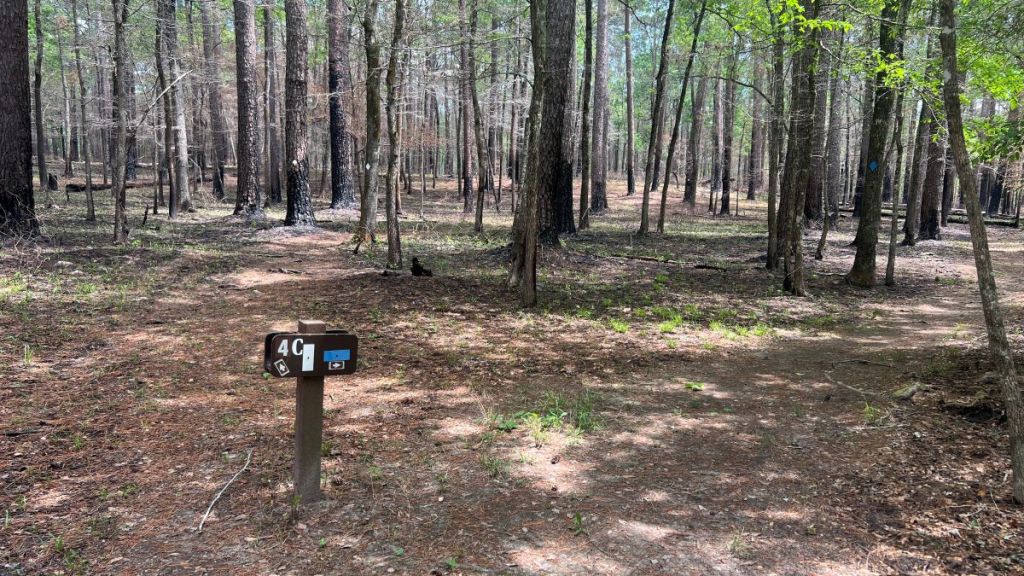
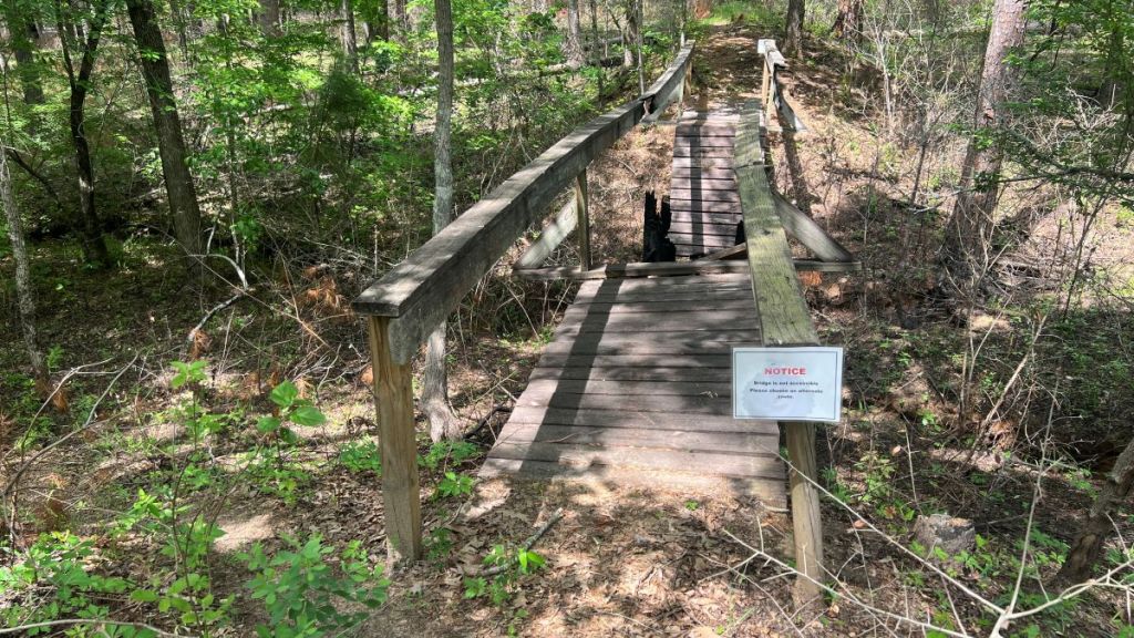
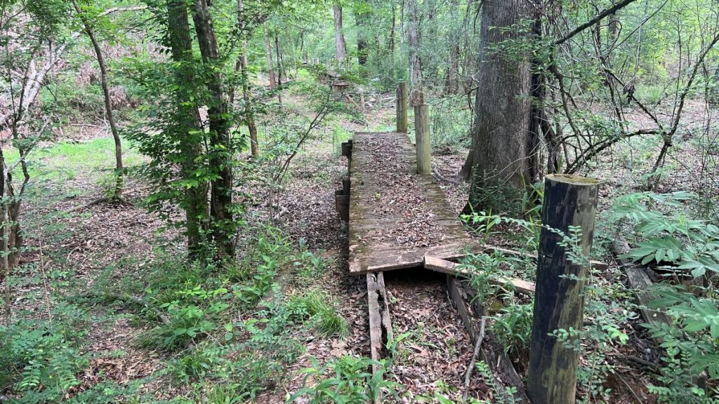
There were minimal tree obstructions in this section, and we took easy detours around a couple of broken bridges, before crossing Forest Service Road 521.
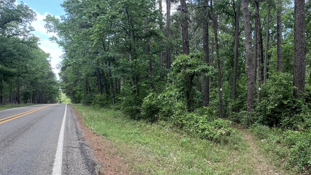
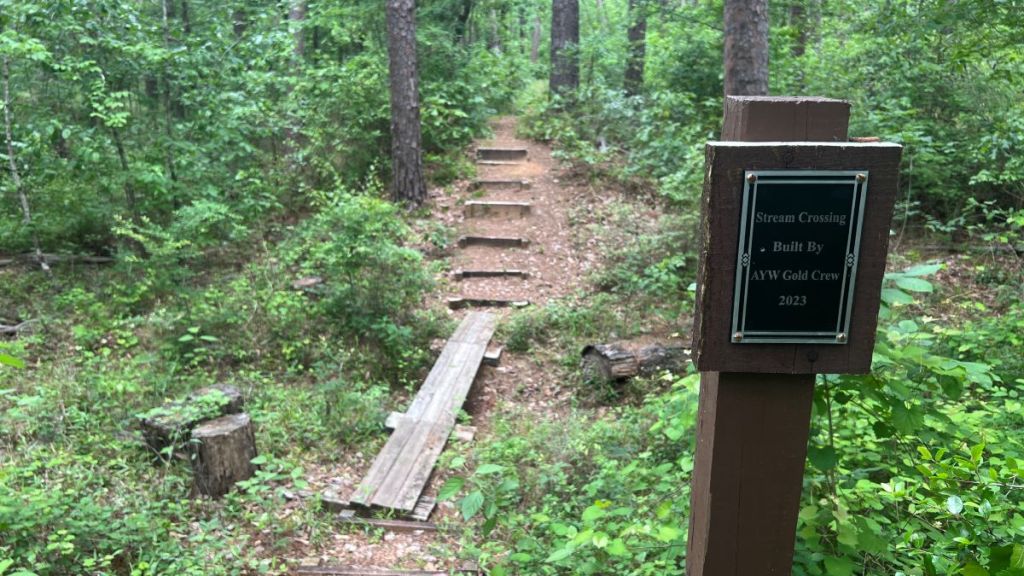
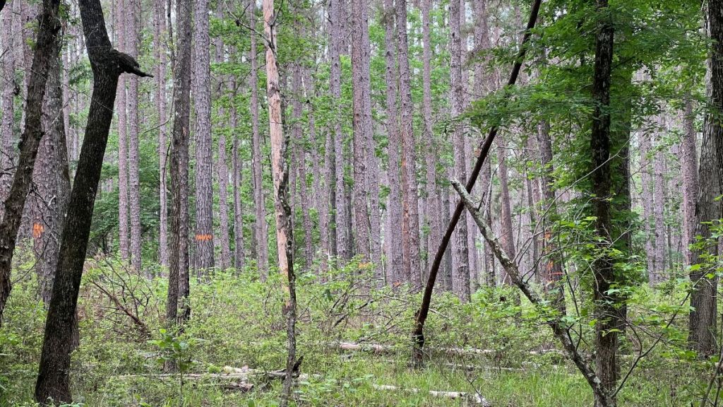
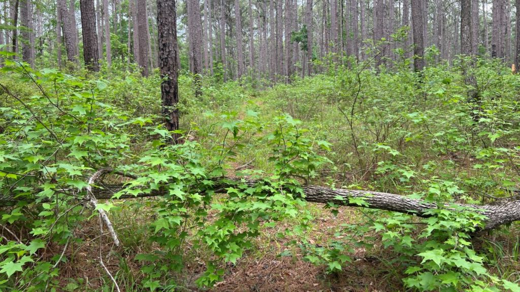
2.0 to 6.4: The Southern Section
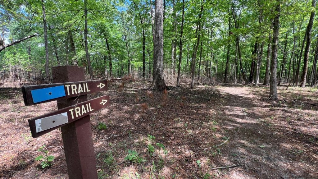
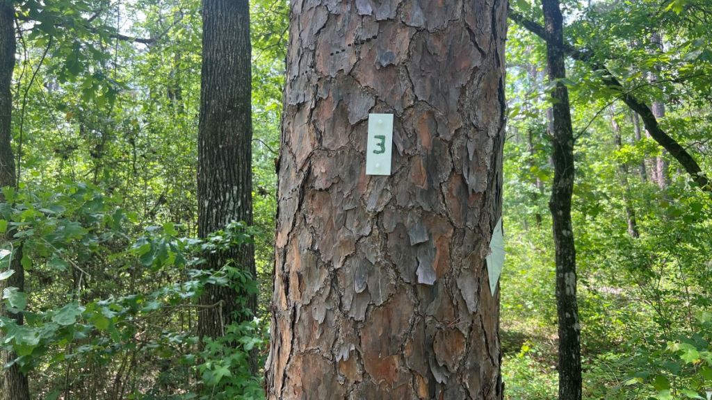
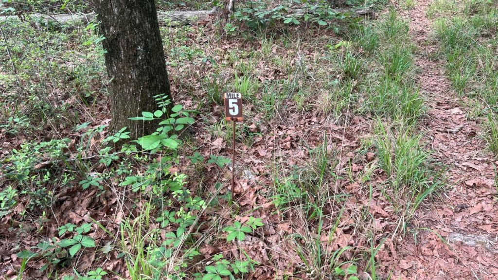
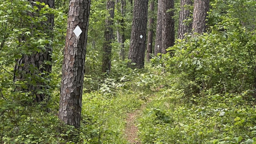
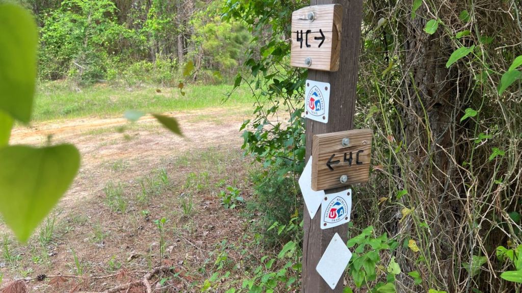
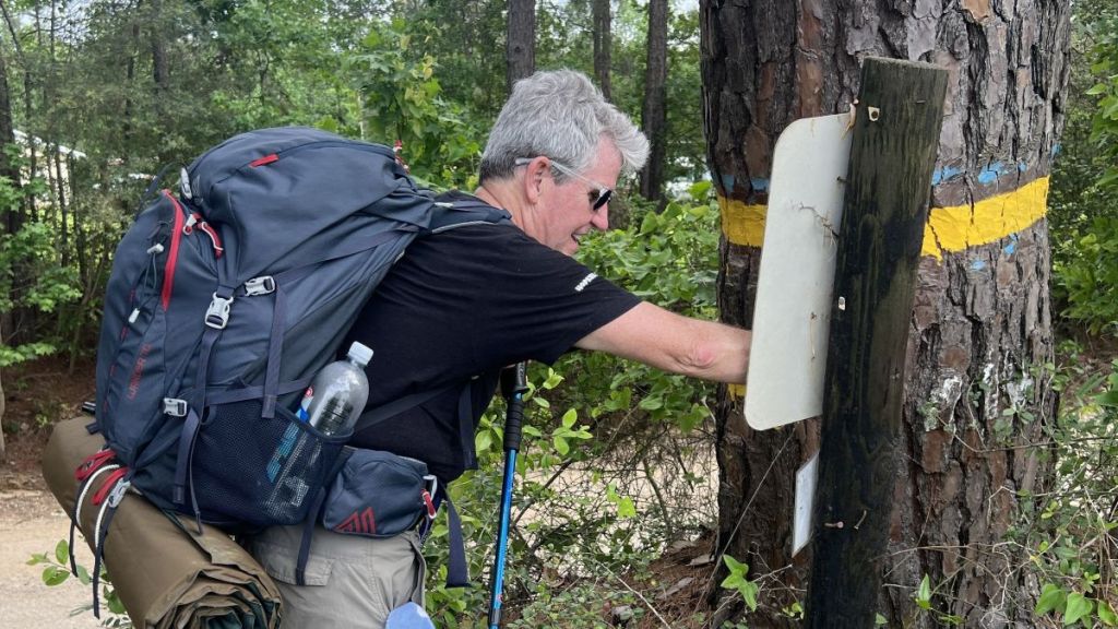
The next 4.4 miles took us from FS 521 to CR 1170. At 2.4, FM 227 was the only sealed road that we crossed on the whole hike, and at 4.5, FS 536 was probably the least-used road that the trail crossed. Signage at the road crossings, along with plenty of tags on the trail and mileposts at 3 and 5, kept us on the right track.
This section had twelve bridges, including four broken ones, and a stream crossing built in 2023 by AYW, which I assume is America Youth Works.
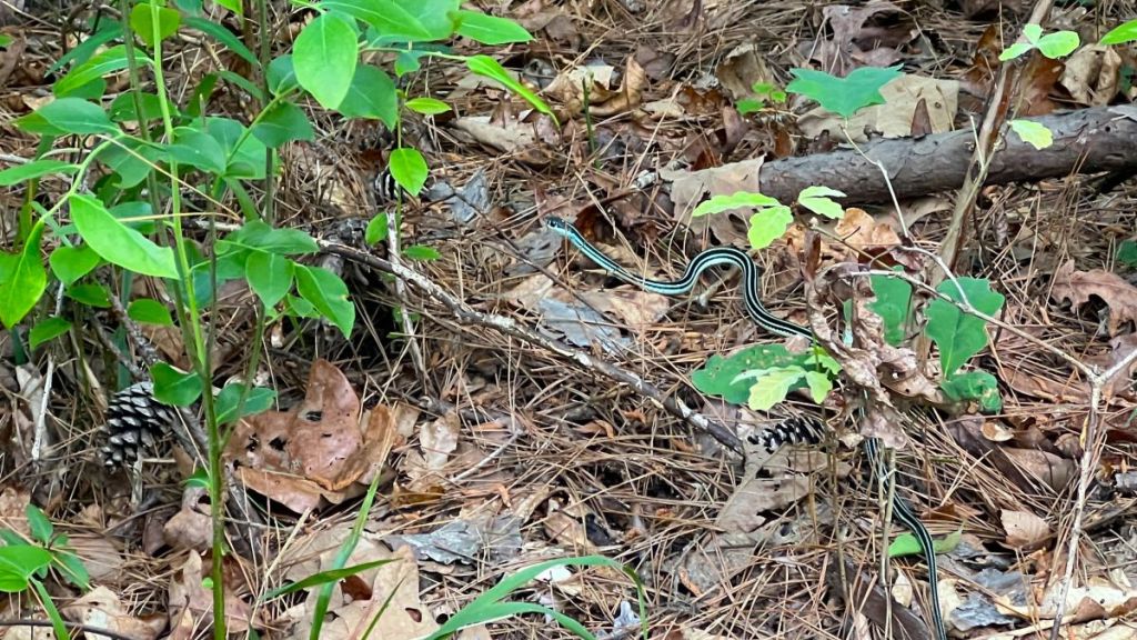
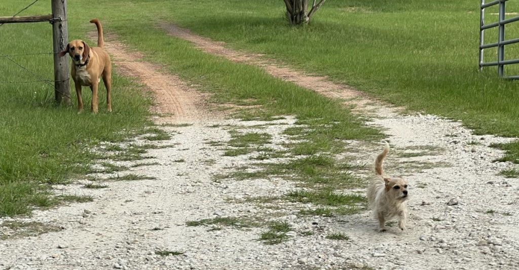
We saw wildlife, and evidence of it. I was unable to photograph the deer, armadillos, and squirrels that we saw. It appears that Donald won’t be quacking anymore, and a non-venomous Western Ribbonsnake startled me! We met two dogs after we had taken a wrong turn.

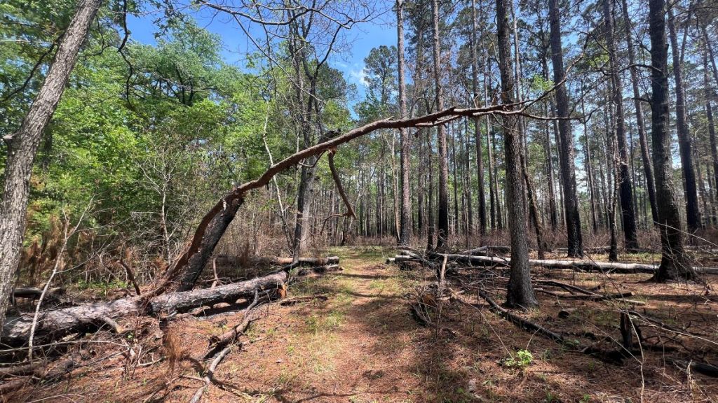
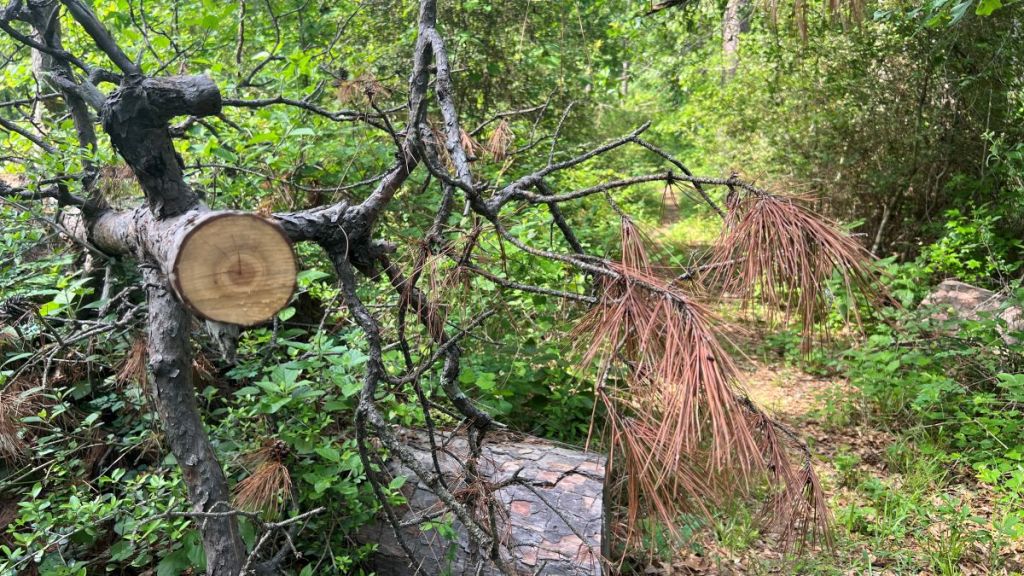
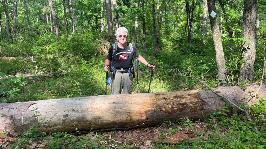
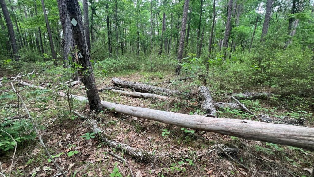
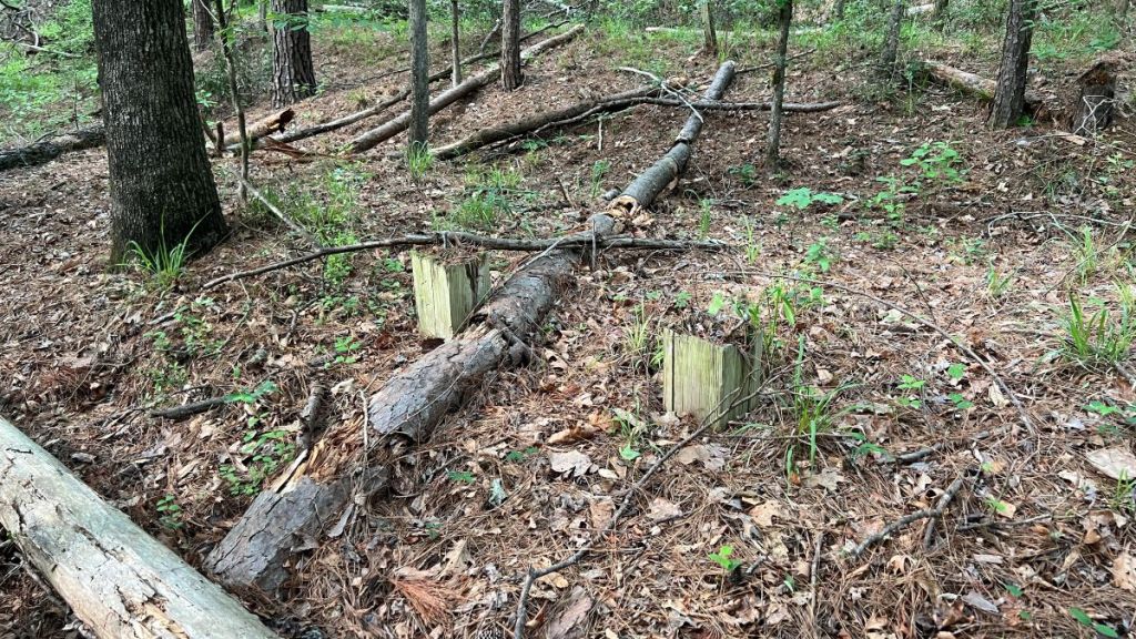
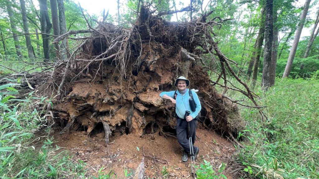
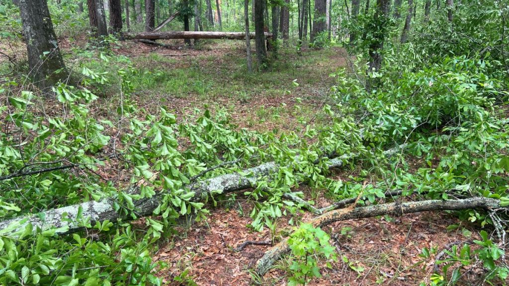
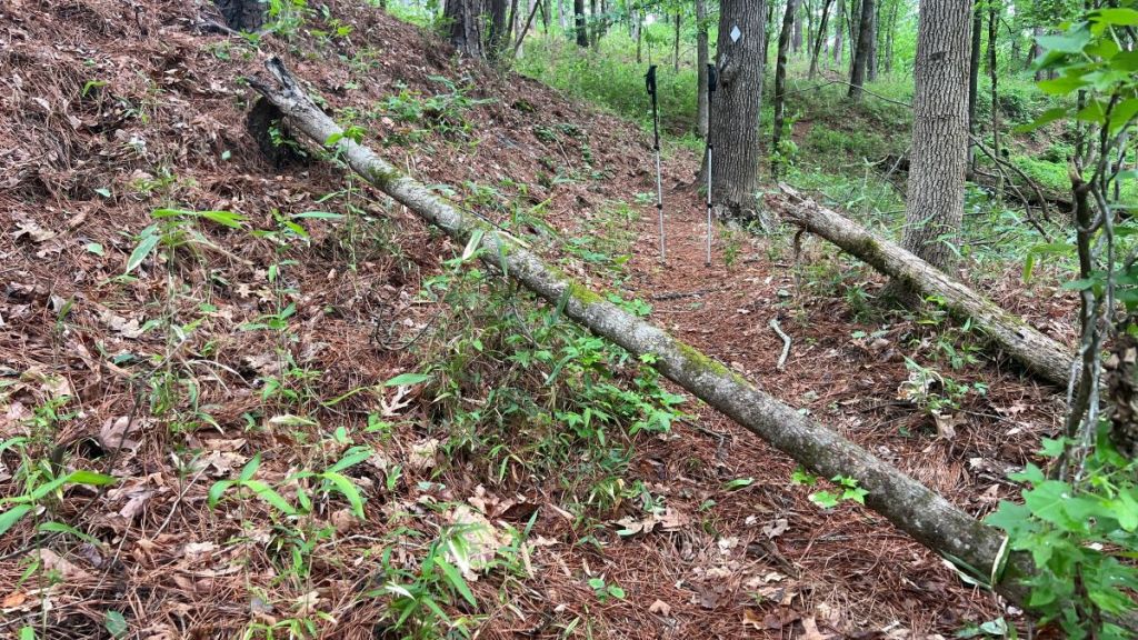
In this section, there were 33 trees of various sizes across the trail that we were unable to move. These ranged from simple stepovers of a few inches to pine crowns and 22-inch trunks. We saw evidence of some recent sawing. I hope my survey will help a maintenance crew tackle these obstacles efficiently. Below are a sample of the obstacles I recorded.
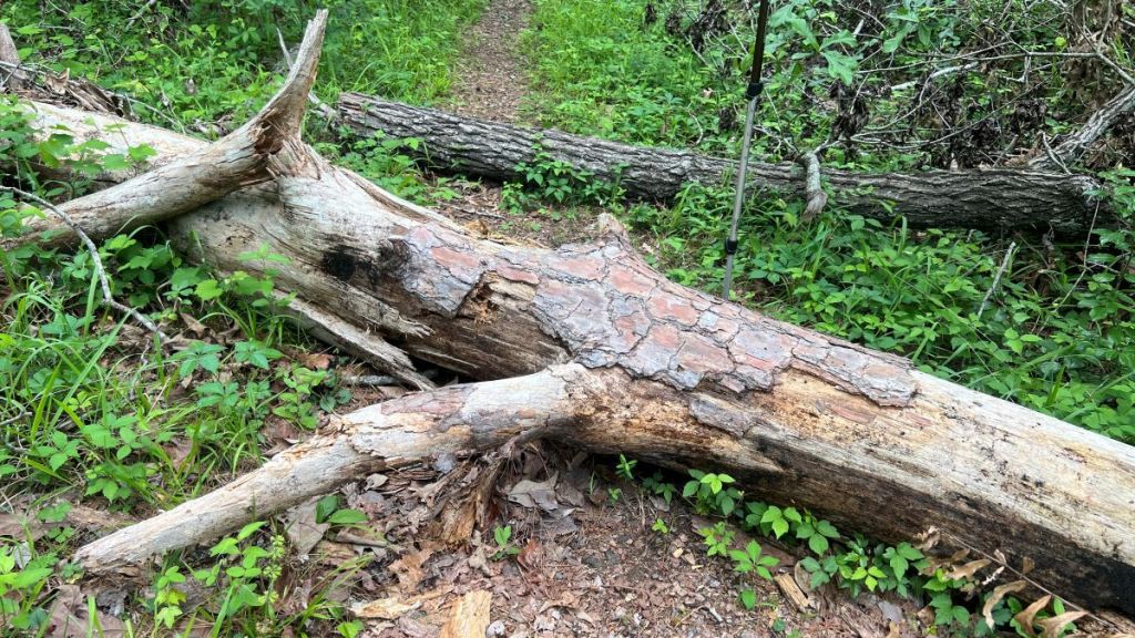
We walked around this one.
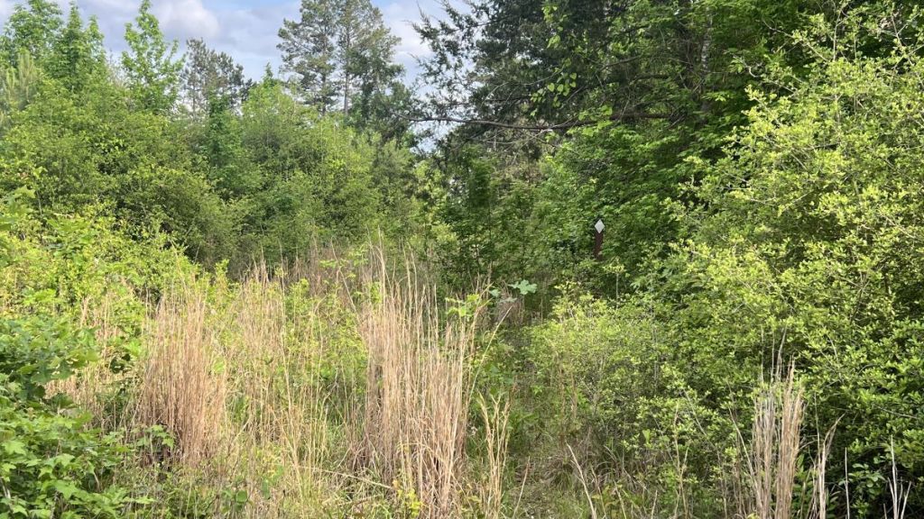
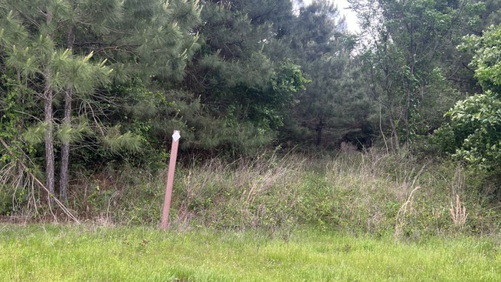
At the end of this section is the only part of the trail that passes through private land, after running alongside some for a while. The sign marking the edge of the National Forest is so old that the tree has eaten half of it!
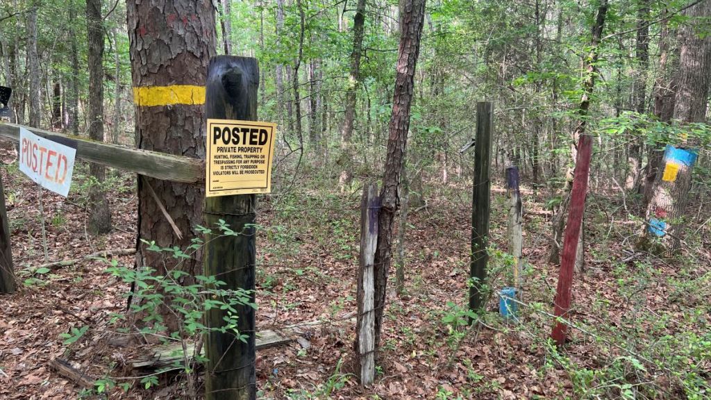
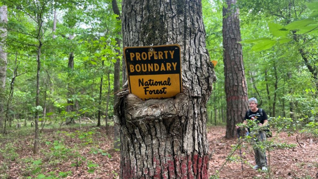
6.4 to 6.95: Private Land
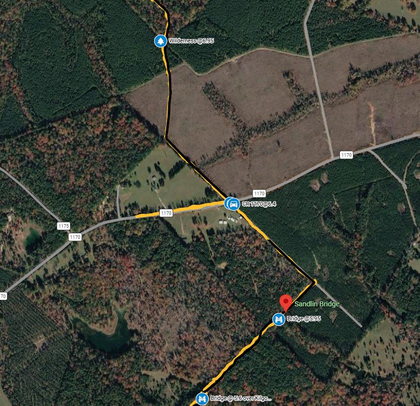
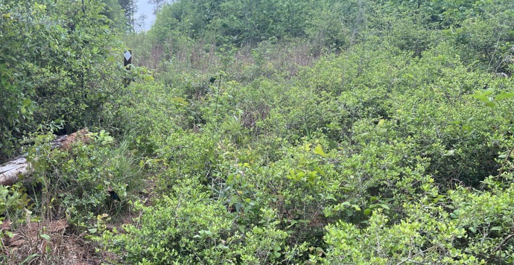
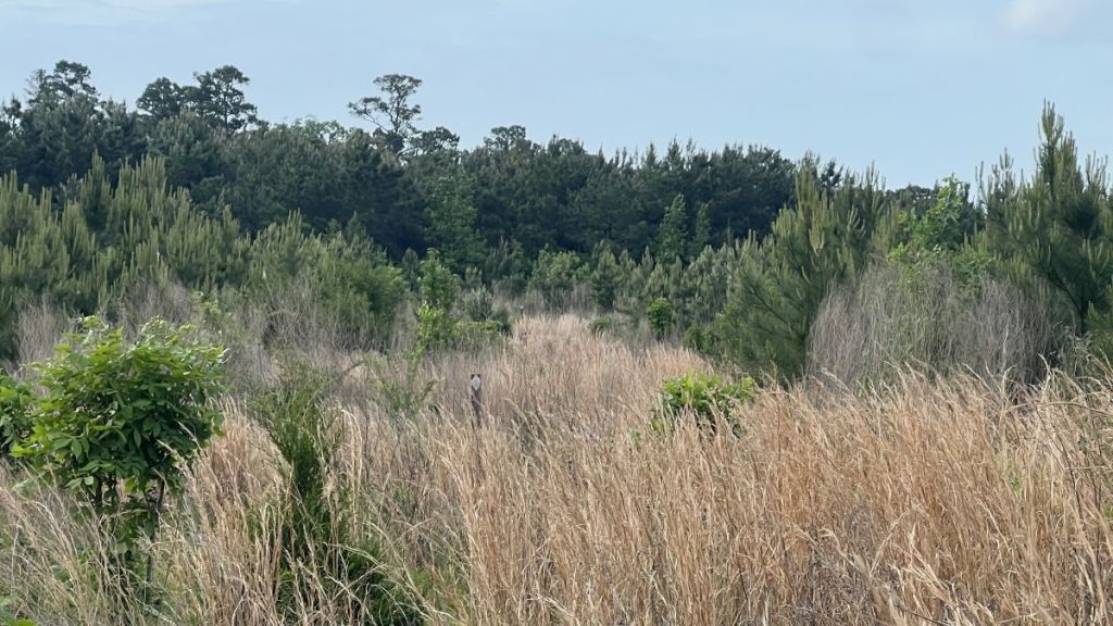
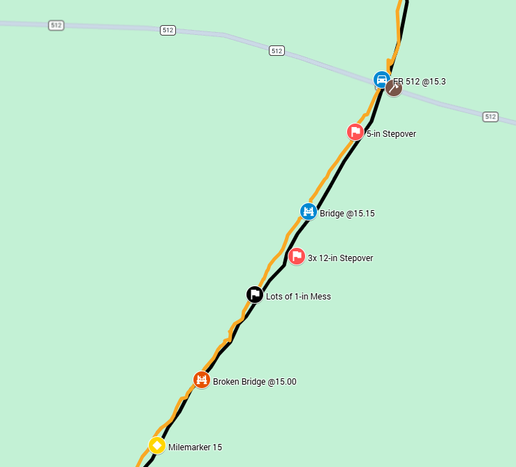
The aerial view below shows how the trail came out of woodland for this section. From the bottom of the picture below, the trail was in the forest, crossing a couple of large bridges shown above. It turned left onto a dirt road, which took us to CR 1170. The path turned left, followed by a quick right turn, but we missed the right turn. After getting back on trail, the next 1/2 mile was outside of the forest, with thick undergrowth or tall grass. The contrast was cool!
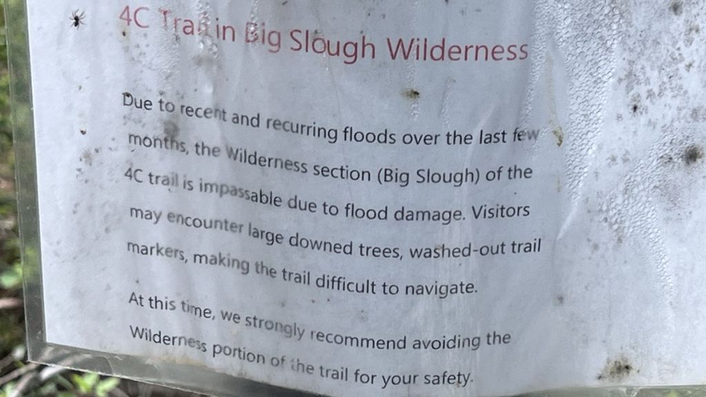
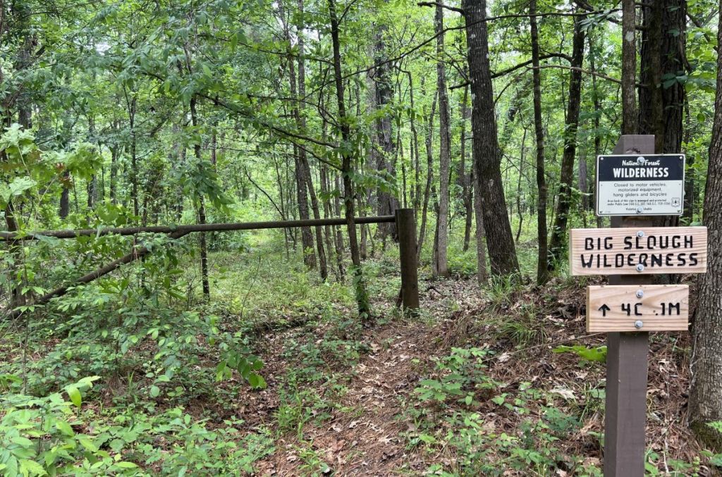
Once we got back on the right track, I encouraged Vance to read the sign, warning us not to venture into the Big Slough (pronounced slew) Wilderness. He was a little concerned! Cameron Hall’s video from a couple of months before our trip gave me confidence that we’d be fine.
However, the next challenge was a 1/2 mile section of high undergrowth. Once we got the hang of it, we could navigate easily, and we both had long pants protecting our legs. The change from the forest was fun!
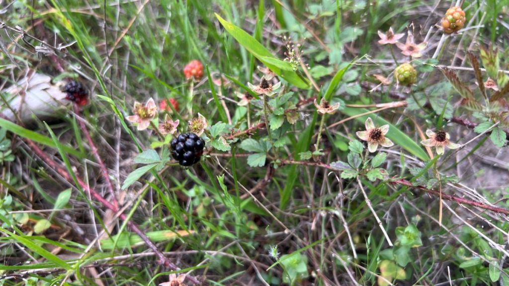
A special treat in this section was some wild blackberries. I’m used to huge bushes of them in England, but we were still thankful for the foraged snack.
6.95 to 8.5: Big Slough Wilderness Part 1
At 6pm, we entered the Big Slough Wilderness!
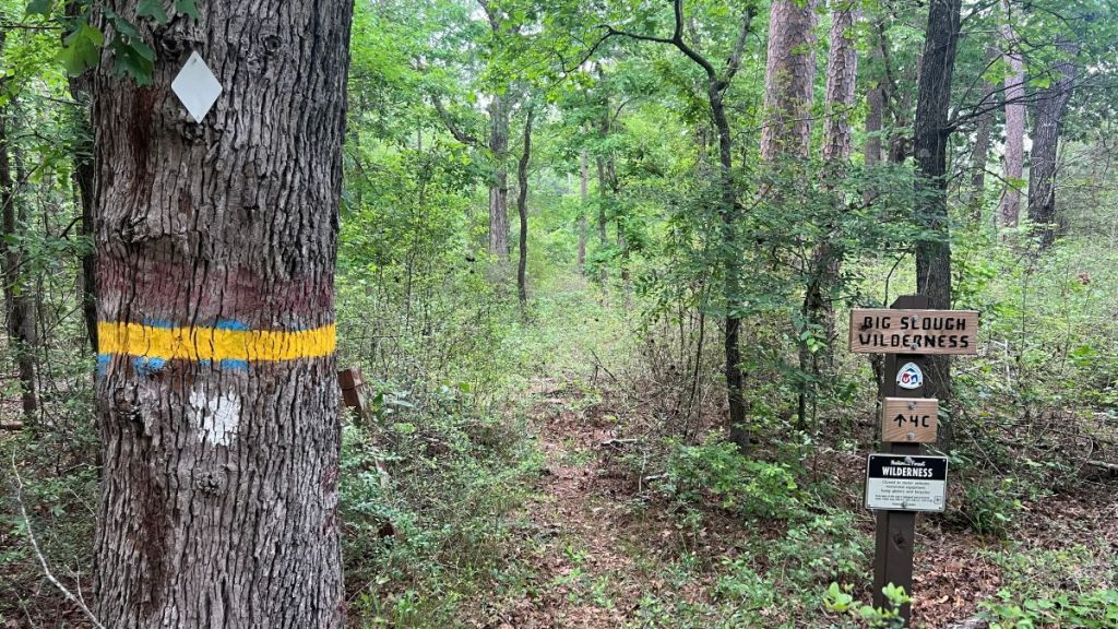
I’m unsure what difference I was expecting from the wilderness. The warnings had set an expectation, but we didn’t encounter that damage until the following day. The trail remained clearly defined with a path and markers, even though I expect the warnings have reduced the number of hikers tackling this section. It wasn’t overgrown, despite the Wilderness Area’s prohibition on mowers, with the dense canopy blocking the sunlight. There were a few stepover logs between the entrance and 7.75, but it was easy going.
The road crossing at 7.75 is remarkable for what it isn’t. Maps show a road connecting CR 1175 with CR 1185 and label it “FS 519-Closed” (Avenza) or “Big Slough Wilderness Rd” (Google Maps). Google even suggests it as a driving route.
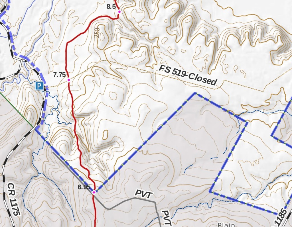
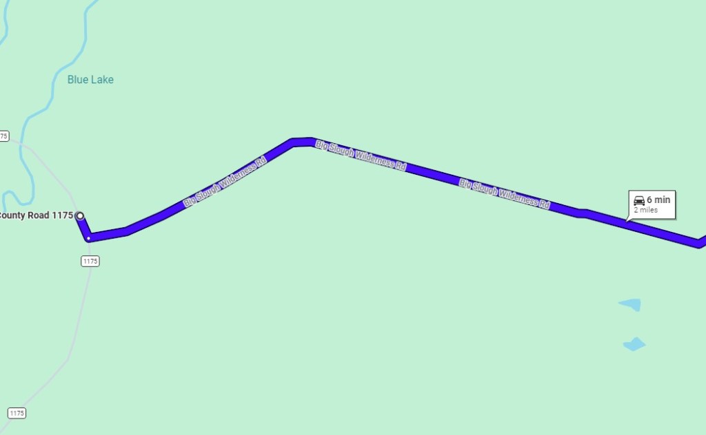
On the ground, it was a different story from Google. At the road’s junction with CR 1175, there is an old, overgrown forest gate. Other than the connector to the Four C from this point, I could not detect any evidence of the old road. NONE! I found this remarkable, but it showed how the forest can completely reclaim itself over forty years. I welcomed the connector as it had allowed me to place our water cache here.
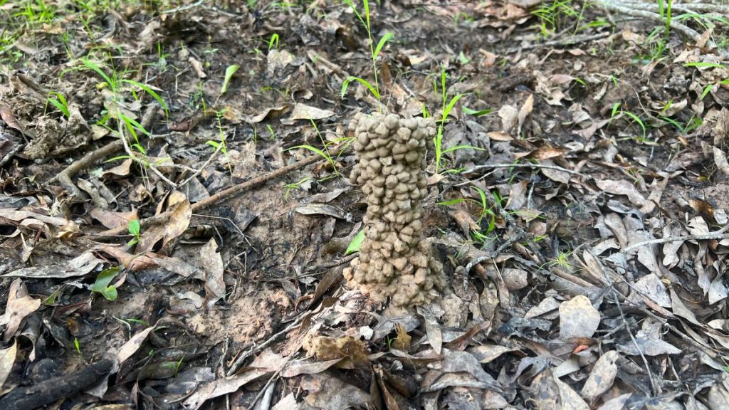
We found evidence of previous burns, perhaps ones controlled by the forest service.
We found a huge log across the trail that had recently been sawn by the crosscut team (no chainsaws allowed in Wilderness Areas). The rings indicated that it was about 100 years old, meaning that it started to grow shortly after the Four C Sawmill closed.
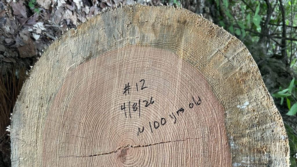
I was intrigued by the difference between the inner and outer rings, and found ChatGPT’s explanation interesting:
What you’re seeing is a real biological (and environmental) difference between heartwood (inner) and sapwood (outer), plus a bit of weathering.
Inner rings (crisp, reddish):
- This is heartwood—older, dead xylem.
- It’s been chemically “finished” by the tree: filled with resins, tannins, and other compounds.
- Those substances stabilize the wood, resist decay, and often deepen the color.
- Because it’s denser and more uniform, the annual rings show up sharp and high-contrast.
Outer rings (paler, “dirty,” fuzzier):
- This is sapwood—the younger, still-active part when the tree was alive.
- It contains more moisture, sugars, and living cells, making it:
- More vulnerable to fungi, bacteria, and insects
- More prone to staining and discoloration after the tree dies
- After the tree fell, this outer layer likely started to decompose or oxidize, giving it that gray/green “dirty” look.
- The structure is also a bit softer and less chemically reinforced, so the rings appear less crisp.
Other contributing factors:
Growth rate changes late in the tree’s life can make outer rings less distinct.
Weather exposure (rain, soil contact, microbes) affects the outer wood first.
Tool effects: Chainsaws can slightly tear softer sapwood more than dense heartwood.
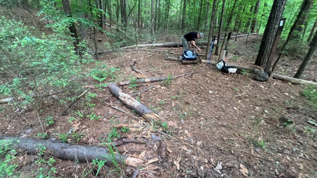
We were ready to find the night’s campsite. However, evidence of hog rooting and seeing a very large momma hog and child encouraged us to keep going! I knew that the crosscut maintenance team had recently cleared the trail to about 8.5, so the trail would be clear.
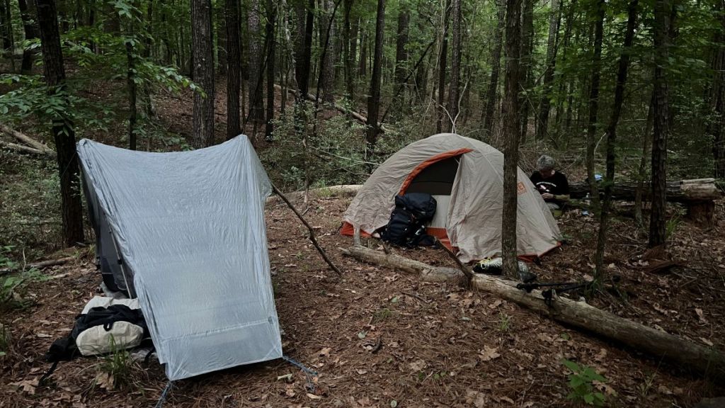
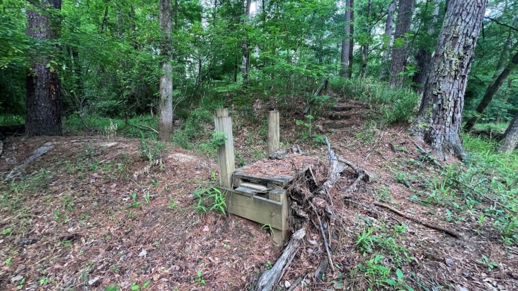
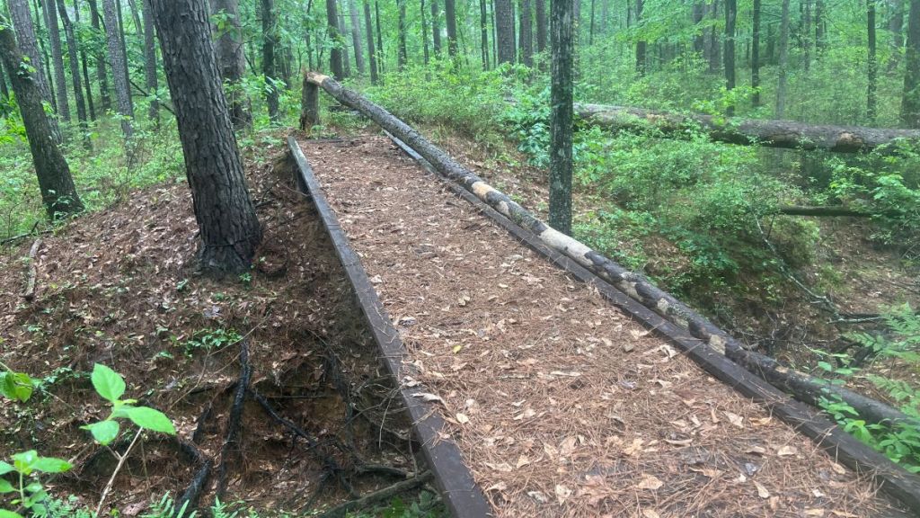
Once we were past the hog activity, the environment felt a bit damp, and we wanted to avoid condensation on our tents, if possible. We kept walking to about mile 8.5, where the trail climbed up onto the old tramway’s embankment, and there were the remains of a trail bench.
Camping
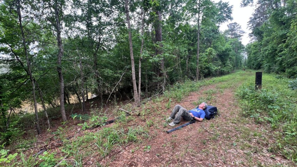
We reached our campsite at 7 pm, leaving us about 50 minutes before sunset and 80 minutes before dark. My Garmin had measured nearly 11 miles of hiking in nearly 5.5 hours, so we’d averaged 2 mph. We had frequently stopped to drag small trees off the trail, so that was a fair speed.
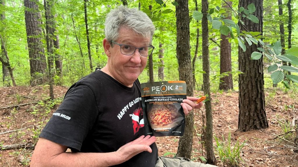
The top of the embankment was less damp than in the bottomlands. A site just off the trail had sufficient clear and level ground, with a well-placed log as a backrest for dinner and breakfast. After drinking some electrolytes and snacking on dried mango, which really hit the mark, we enjoyed a gourmet “American Buffalo Goulash,” which was very tasty. We remained hot and thirsty, choosing to skip the ramen noodles to save water and because neither of us was hungry. When we turned in at 8:30, the air temperature had dropped to about 70, but it still felt muggy. Having stopped hiking only 1.5 hours previously did not help. I had a restless night with strange dreams, getting a little cold with just my sleeping bag liner, but I was happy that I did not wake to a ghost train coming along the tramway!
As we were nodding off, I heard some coyotes, and then I thought I heard some distant music, and then a pair of domestic dogs barking. Even though we were in the wilderness, I realized that we were barely a mile away from private land.
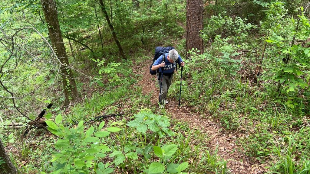
Day 2 Hiking
It was light by 6:30 am and we were both ready to get going, helped by coffee, chips, and protein bars. Neither of us felt like eating hot oatmeal, which was fine, and we started hiking at 7:40 am. We had 12 miles of trail to hike, and wanted to finish before the big storm arrived. I was keen to continue surveying the trail while clearing what we could.
8.5 to 8.9: Big Slough Wilderness Part 2
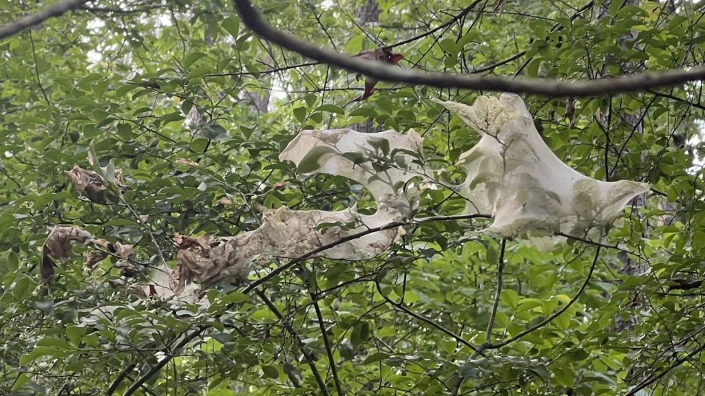
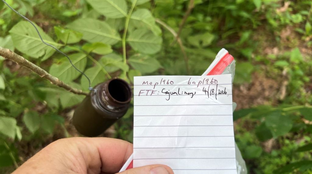
Most of this section involved walking on top of the embankment, but we still managed to lose the trail once, around some hog rooting and fallen trees. We spotted a tent caterpillar nest, a flowering dogwood, and a geocache. The geocache was #46 of 64 of a “power trail” hidden in May 2025, and we were the first to find this one.
The most remarkable site on the embankment was a full-size tree balanced on the top. We could not miss the big obstacle, but upon further inspection, I realized it was precariously balanced, with both ends of the tree off the ground. I had not seen a root ball in the air before! That will be an interesting tree to clear off the trail… I hope I can join the crosscut crew when they cut this.
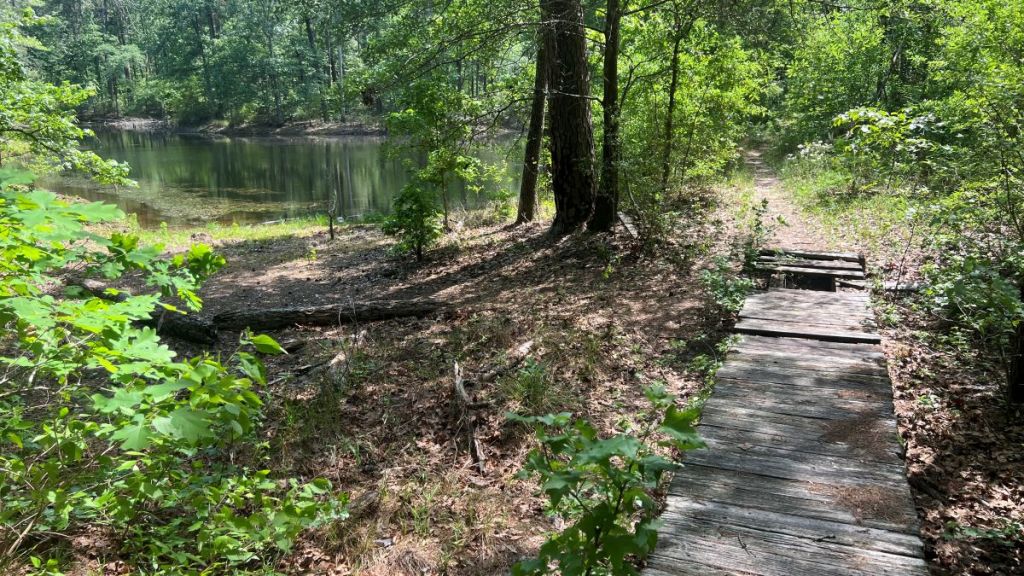
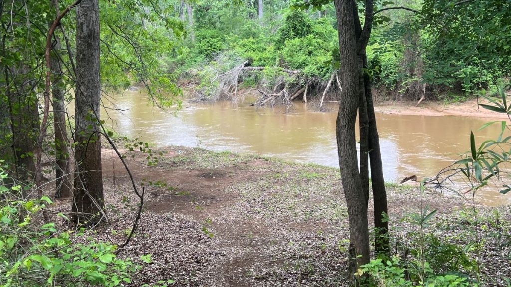
The embankment ended at the river where there would have been a railroad bridge a hundred years ago.
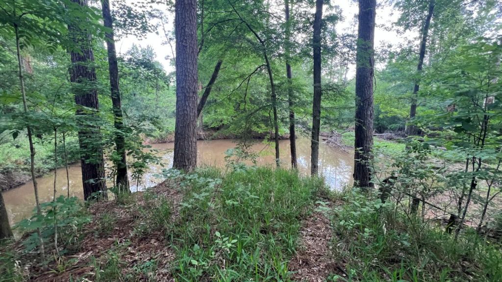
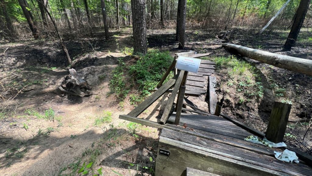
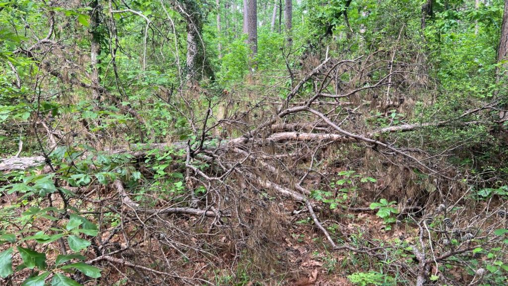
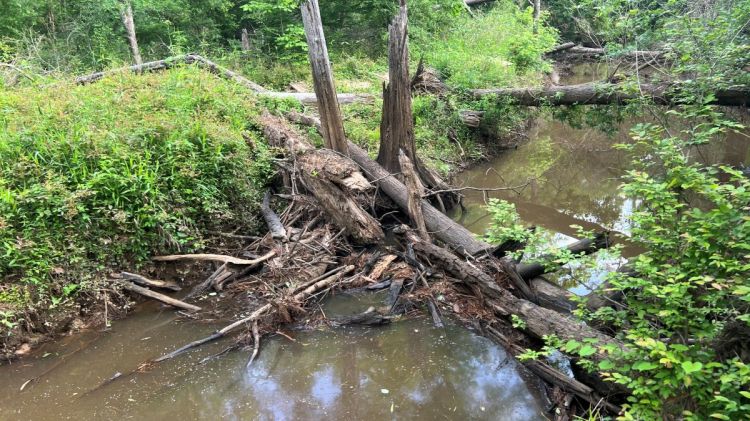
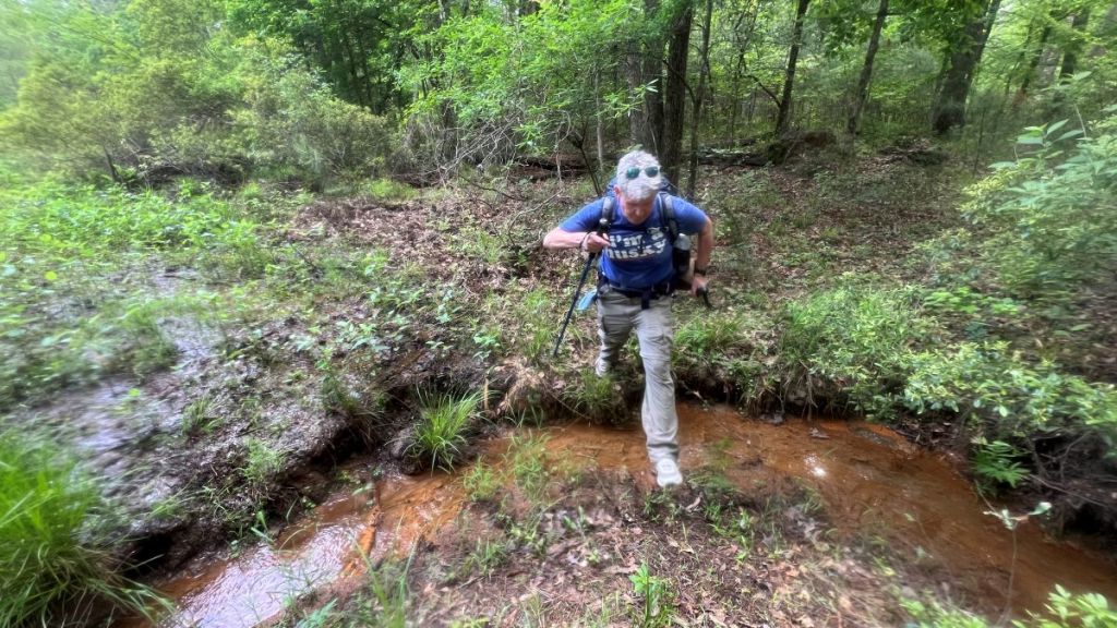
It was time to come down off the embankment and into the “bottomlands.” This was where the warning about navigating through the Big Slough Wilderness applied. No markers were visible. There was no path. All we could see was flood damage, large downed trees, and the remnants of the former boardwalk. It was quite eerie! We were hiking in a dry spell, and could only imagine what it would be like when the rivers were flooding, as they had been when some hog hunters needed rescuing by game wardens in February 2025.

I knew that there were a couple of large logs a little downstream where we would cross. With the low river level, it was easy to cross the river. This was at mile 8.9.
These YouTube videos show Vance balancing on the log and me taking the low route.
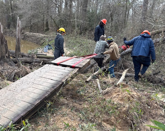
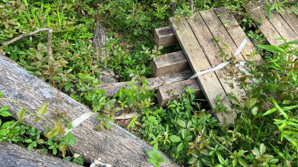
The river’s calm state contrasted with the devastation on the banks. This report of hog hunters being rescued in February 2025 floodwaters gives an indication of what it was like with higher water levels. This Facebook report of a TxCC team working on the boardwalk in January 2025 includes pictures showing wetter conditions and their restoration work, but I fear some of their work was washed away in the June 2025 flood. We noticed the boardwalks that they had pulled out of the South Slough River and secured with a strap to prevent it floating away.
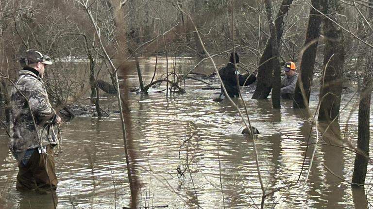
Photo by Texas Game Wardens from this article.
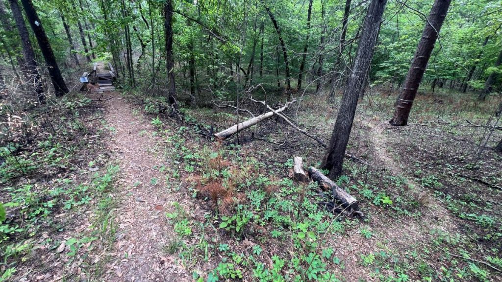
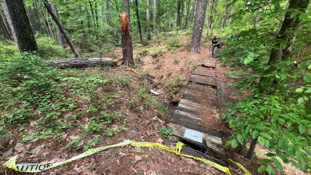
8.9 to 9.35: Big Slough Wilderness Part 3
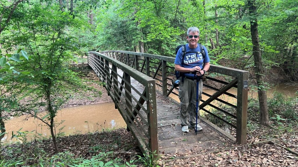
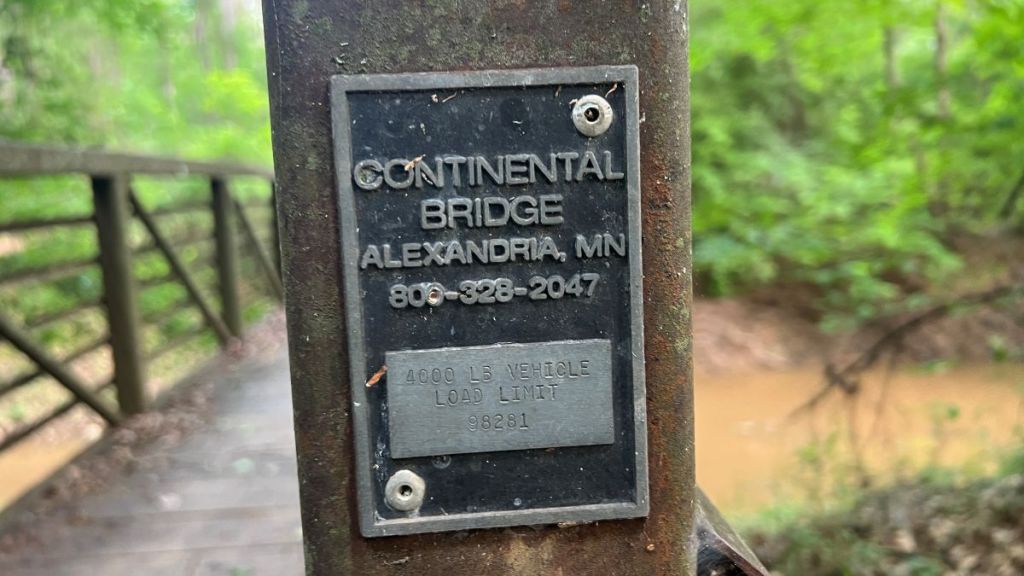
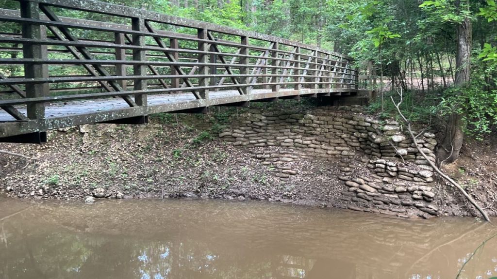
The damaged boardwalk continued on the other side of the South Slough River. The North Slough River at 9.2 was dry, so we were not impacted by the missing bridge. On the other side of the dry river, the boardwalk continued, with repairs by the TxCC crew visible, until it connected with an embankment, which took us to the Iron Bridge over Hickory Creek at 9.35. This impressive, prefabricated bridge was built by Continental Bridge, who have installed over 8,000 prefabricated bridges since 1974. Rotten wood on the bridge deck has been replaced by a LSHT trail maintenance team. The fortifications built into the riverbank to prevent washout were substantial.
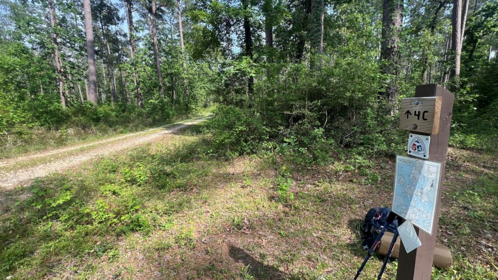
9.35 to 15.3: The Central Section
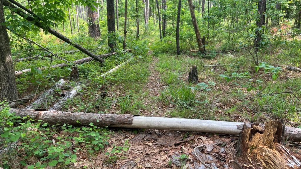
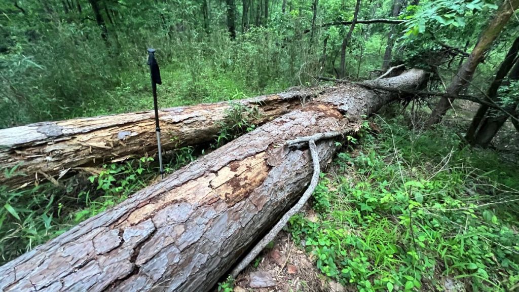
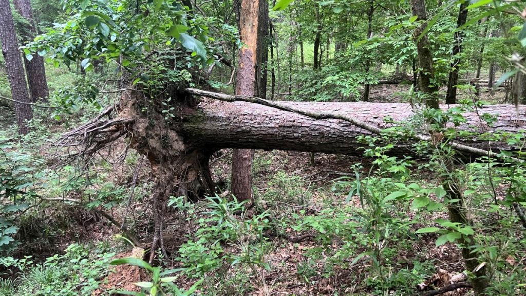
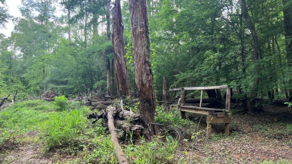
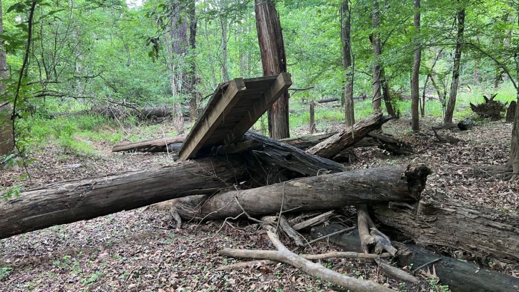
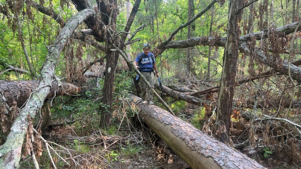
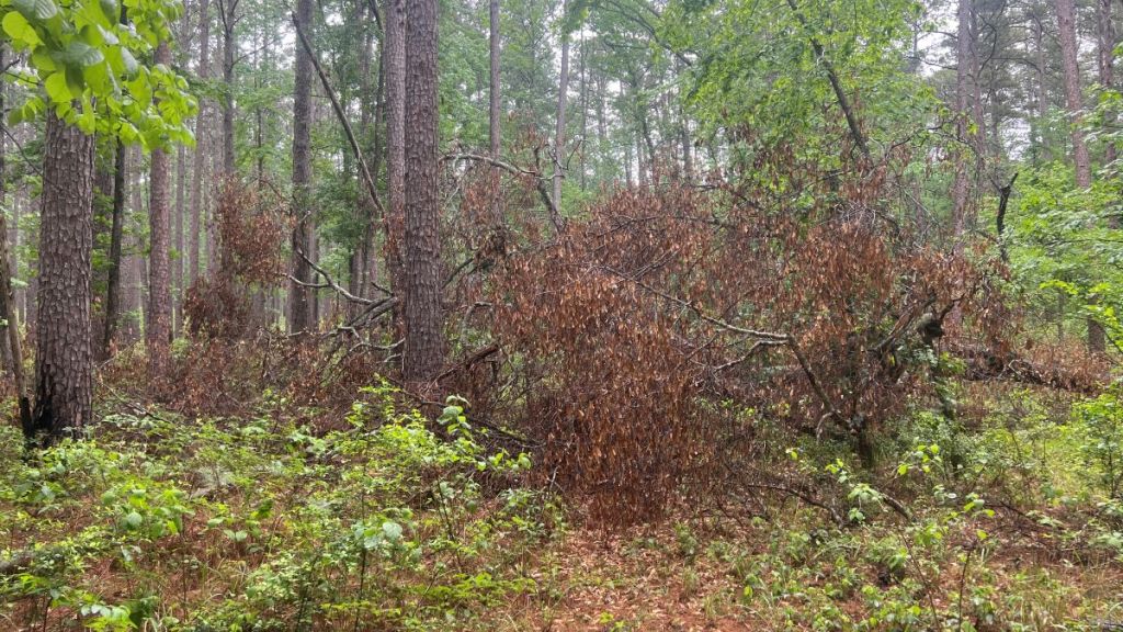
Other than the Big Slough Wilderness, this was the wildest, least visited section of the trail. It was beyond the typical day hike from the trailheads at each end of the trail, and there weren’t any official trailheads in the middle of the trail. There was only one road crossing at 10.75 at FSR 511, but this was close to a section discouragingly labelled on maps as “4WD Recommended.” While the Walnut Shelter at around mile 11.5 added interest, we found the largest number of blowdowns over these six miles, counting 79, of which 25 would slow a hiker down. I’m hoping a maintenance crew will get to these soon, and that I can join them.
The first 1.4 miles, from FS517 to FS 511, had some of the biggest blowdowns on the whole trail. Navigation by sight was difficult a couple of times, but made easy with a GPS-enabled map.
As part of our survey, we were identifying points where the markers were insufficiently clear, and Vance did a great job at acting confused to mark such places in my photos!
We crossed a couple of streams that were on the map and which looked spring-fed. I was surprised they were running during this dry spell, and we claimed a waterfall!

The dampness in this section encouraged crawfish, but we were not foraging for them today.
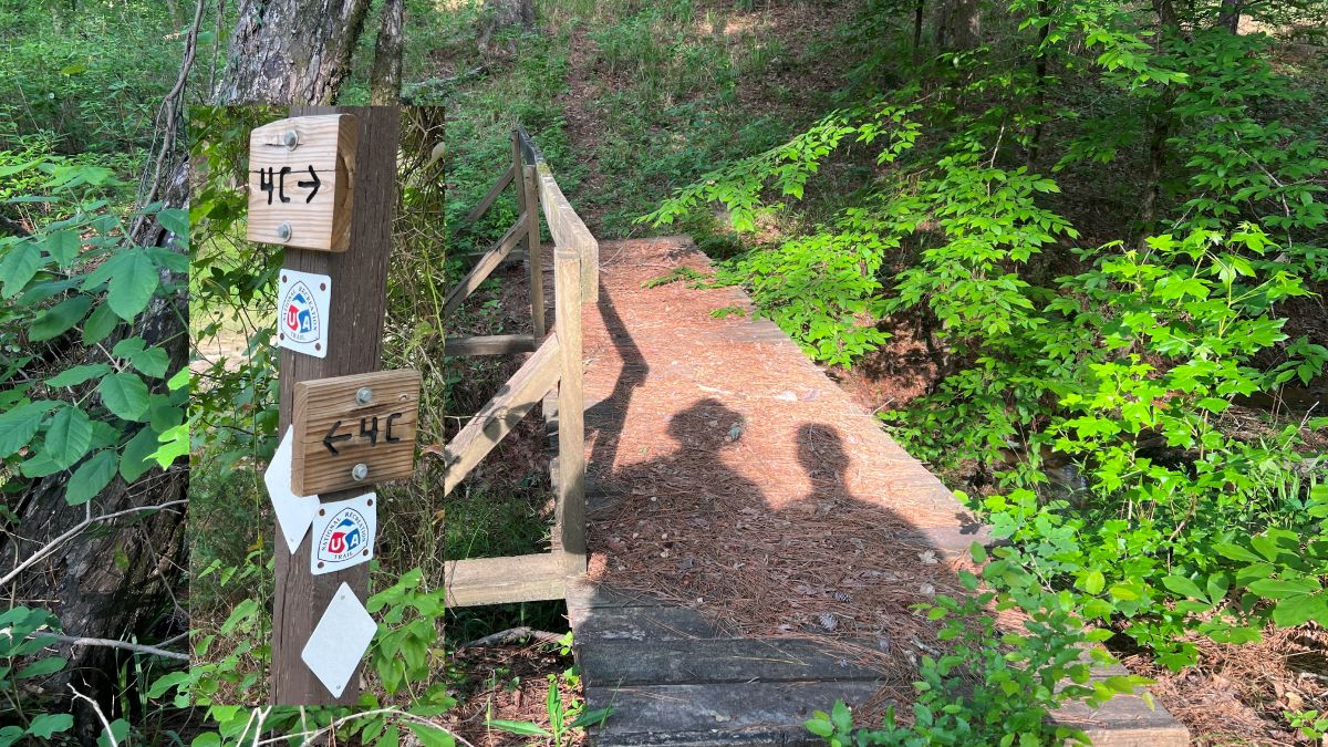
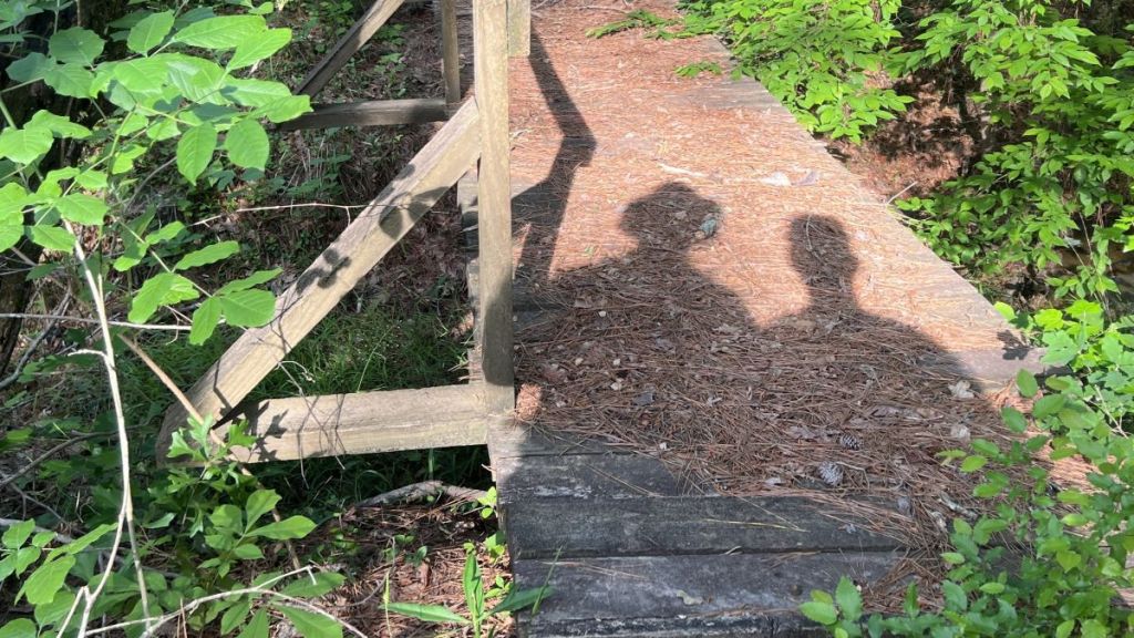
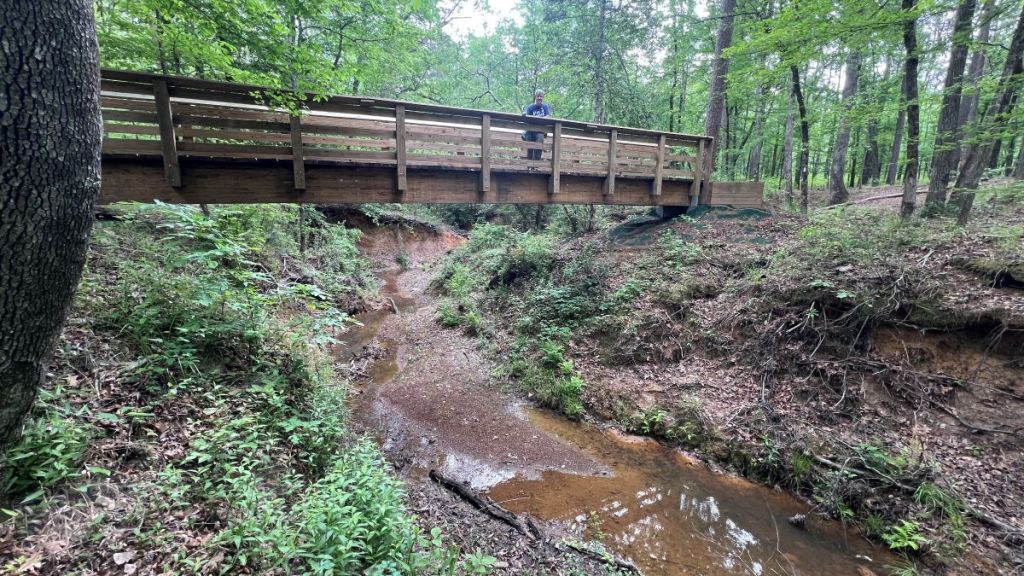
At first, it was a sunny morning, enabling me to grab my silhouette photo on the sole bridge in this section.
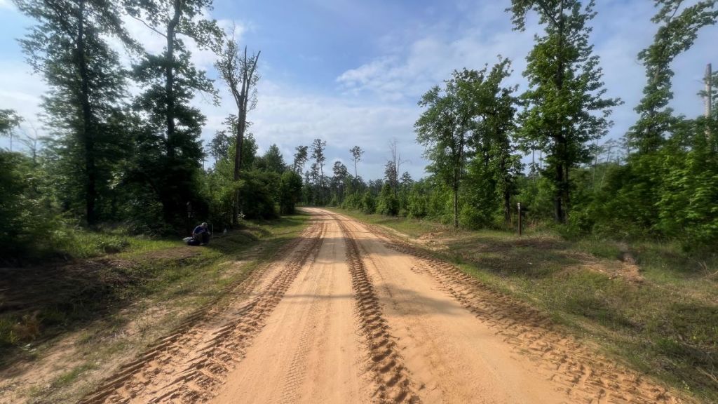
The section of FS 511 that we crossed had recently been graded. I find it very funny that in the migration of data into Google Maps, they somehow labelled this place “Water Cache, Texas.” It’s close to the trail’s midpoint, so it is a preferred caching location for some.
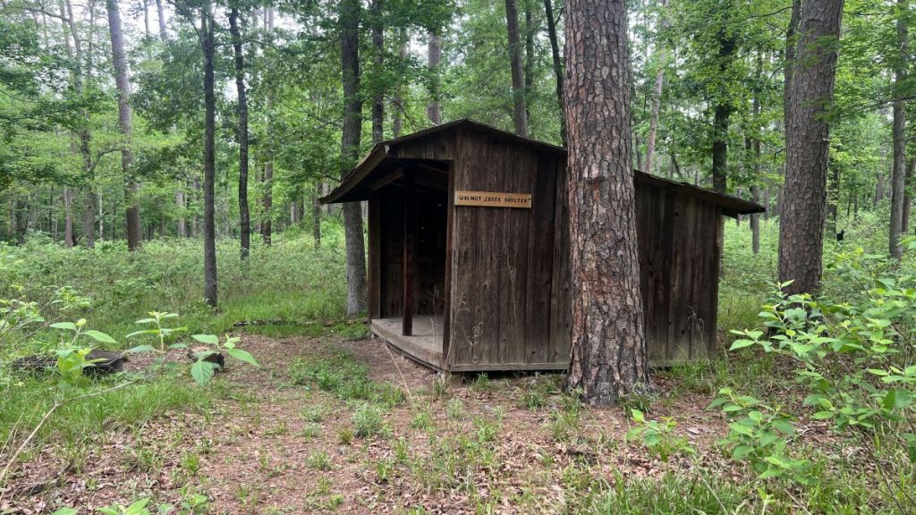
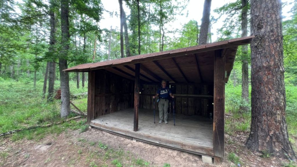
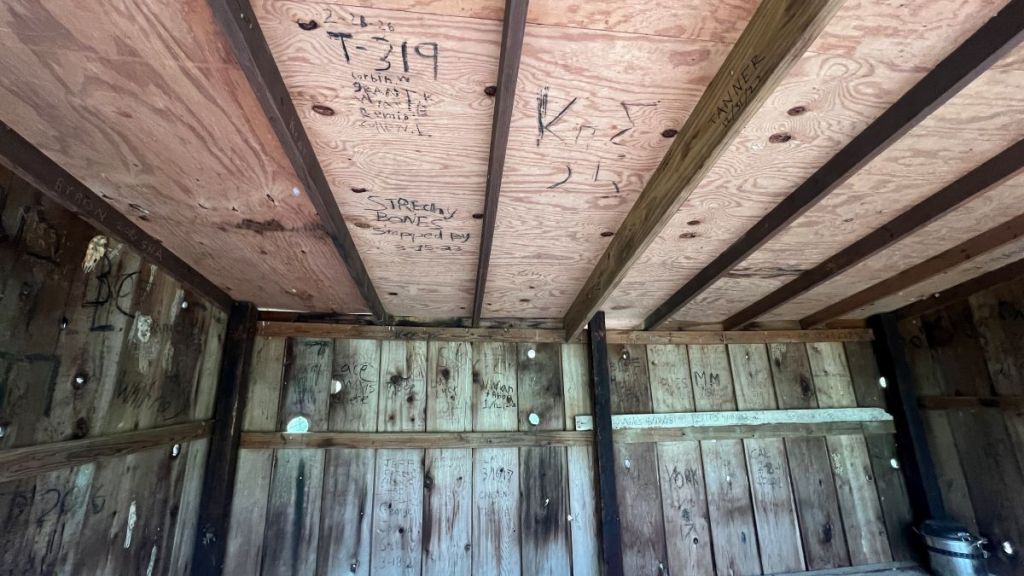
The highlights of the next 2.25 miles, from 10.75 to 13, were the Walnut Shelter and Walnut Creek crossings. The shelter is described as “Appalachian Trail” style. After a recent roof repair, it provides rain protection, but mosquitoes make it less practical in East Texas, except in the coldest months. I’m unsure whether the ceiling was meant to be used as the logbook, but I hope Stretchy Bones and T-319 enjoyed their stays!
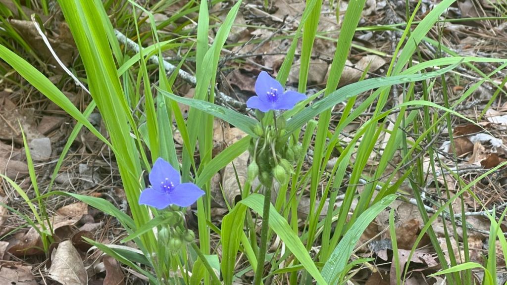
The sun had been covered by clouds, and some expected light rain started, which we welcomed to help cool us off. Perhaps the change in light helped us notice things, from Spiderworts, native perennial flowers, to the matchstick-like nature of the surrounding pine forest.
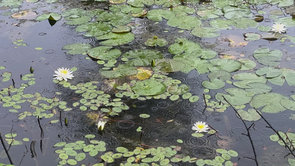
At about 11 am, we arrived at mile 13, where the path followed a straight old tramway for over two miles with several intact bridges. We had hiked 4.5 miles in 3.5 hours, and if we maintained the same pace, we’d finish in 9 more hours at 8 pm, so we had to pick up the pace. This also coincided with a reduction in the number of blowdowns across the trail, so the pace increase came naturally. While Pond Camp at mile 13.5 looked underwhelming, the nearby lily pads were pretty, even in the rain.
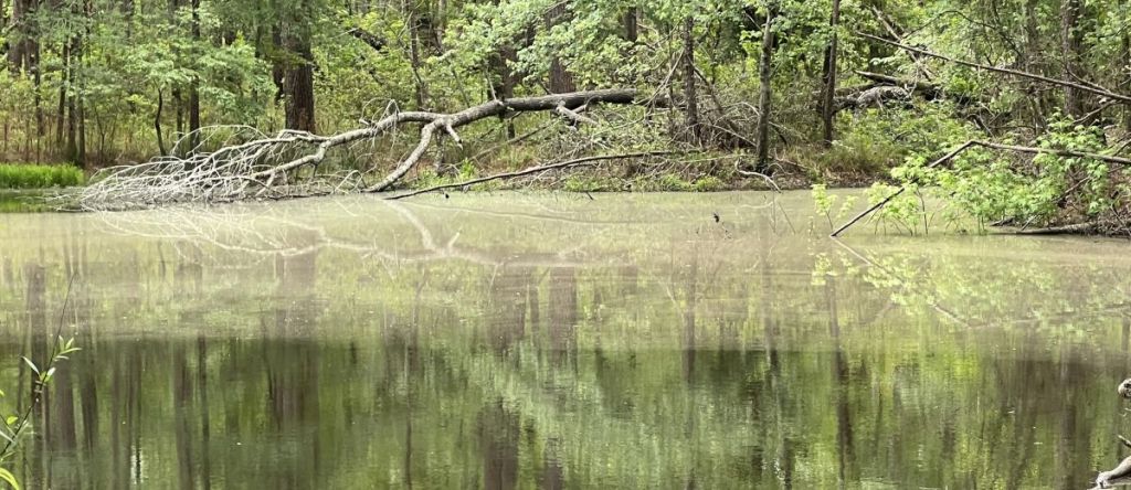
15.3 to 19.9: The Northern Section
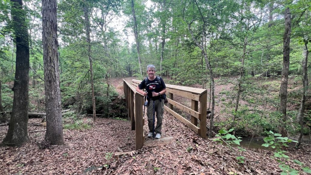
On crossing FS 512 at 15.3, I knew that we were in the home stretch with less than five miles to go, and that the next 2.2 miles had been cleared in the last week by a chainsaw maintenance crew. Vance, like a good mule, could smell the barn. We covered these two miles quickly, appreciated the bridges over wet ground, and were thankful that a new bridge had withstood a direct hit by a large tree. This section had been cleared just five days previously, but there was already a new fallen tree across the path!
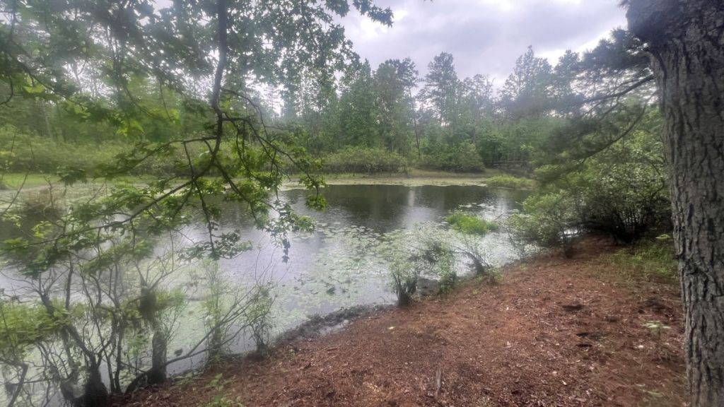
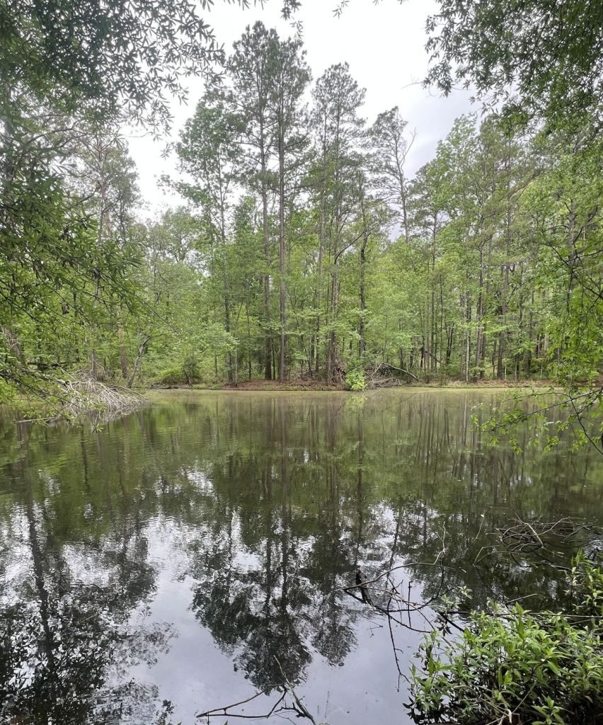
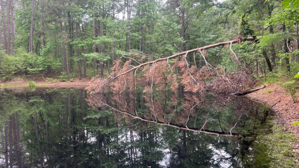
A couple of ponds had beautiful reflections in this section. Others have report seeing alligators here, but we did not.
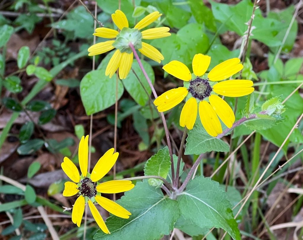
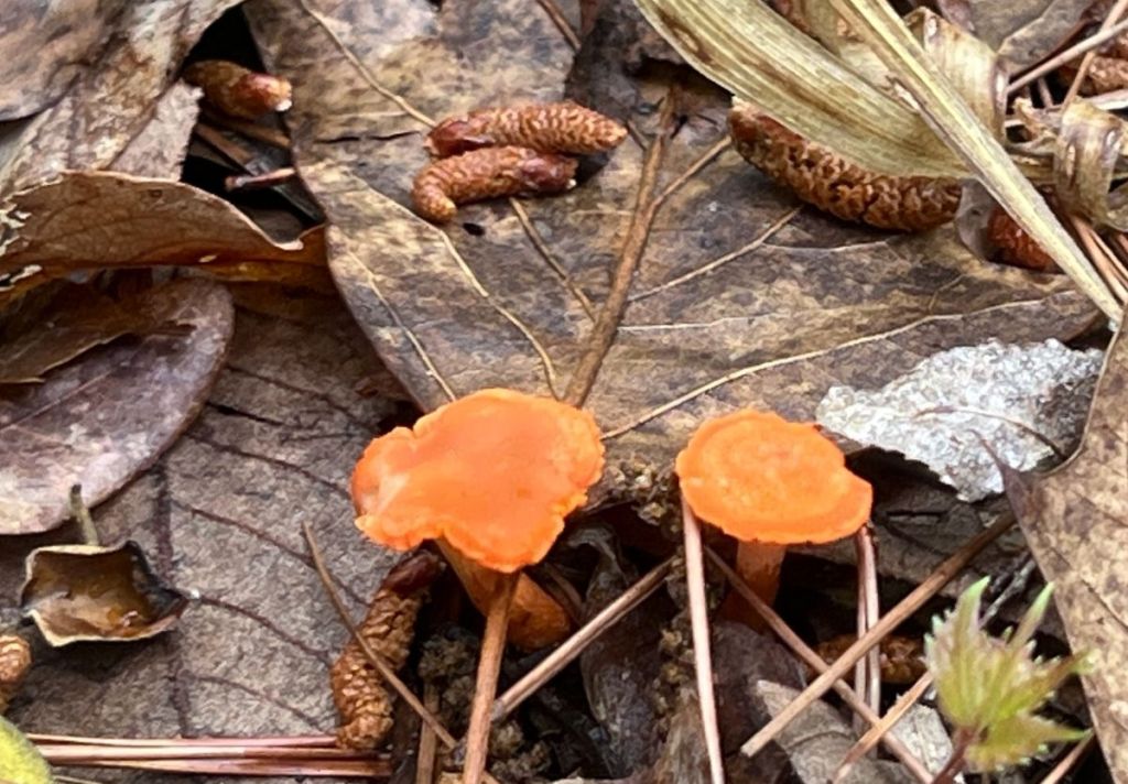
We spotted various flora, from yellow daisies to orange fungi.
We cleared some small trees across the path, and Vance had to video a couple of them.
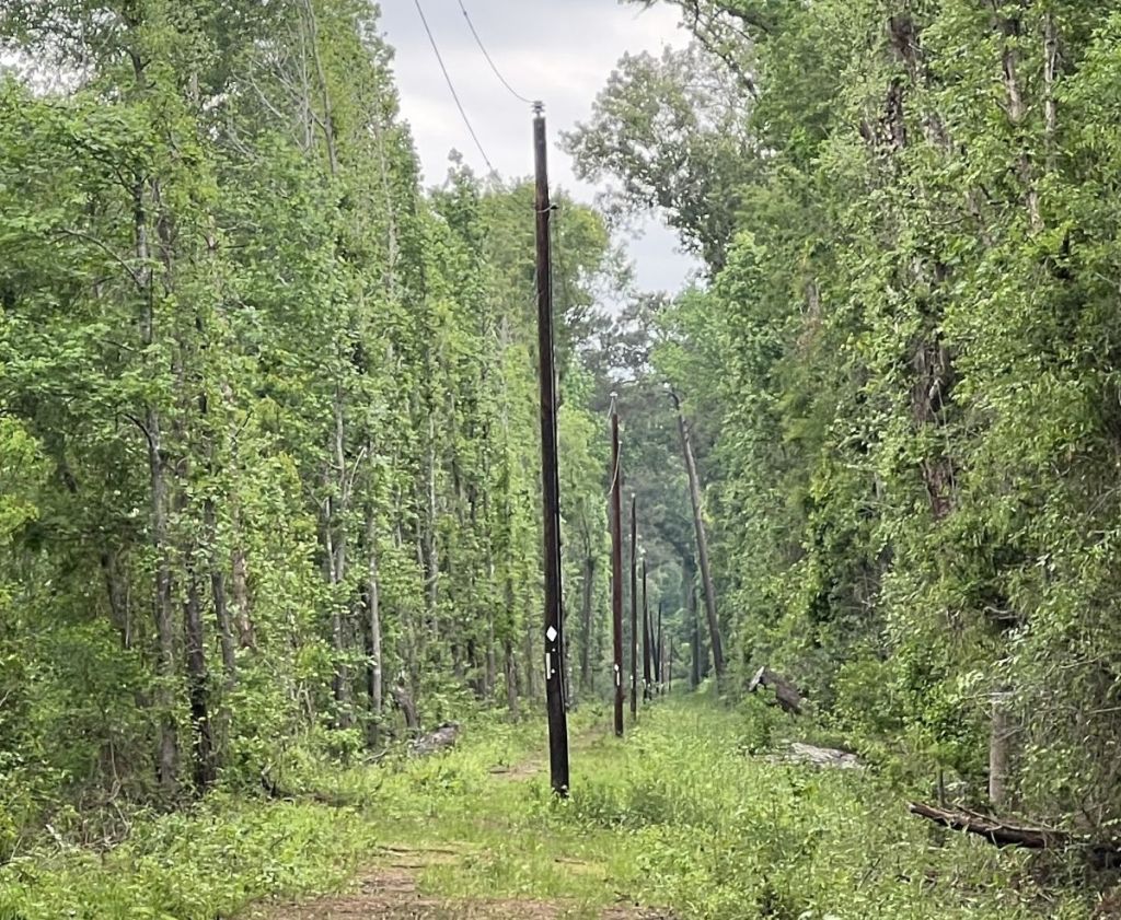
At mile 18, the trail turns left onto an easement for over a mile. Close to the end of this easy section, we could see the Neches River.
The final half mile is the only significant climb on the walk. A couple of small, fallen trees, did not slow us down as we drove forward to the finish line.
At 3:15 pm, we arrived at the northern terminus. We had finished! On this day, my Garmin measured 15.3 miles, taking 7 hours 40 mins, almost exactly 2 mph on average.
We celebrated our completion with chocolate milk, Lindor chocolate, and cold sodas from an ice chest in my car, and took a quick wet wipe bath. We had completed the trail before the expected big storm arrived, but in the end, it missed this area. I drove Vance back to his car, though our drives home were interrupted due to road flooding in Houston!
Reflection
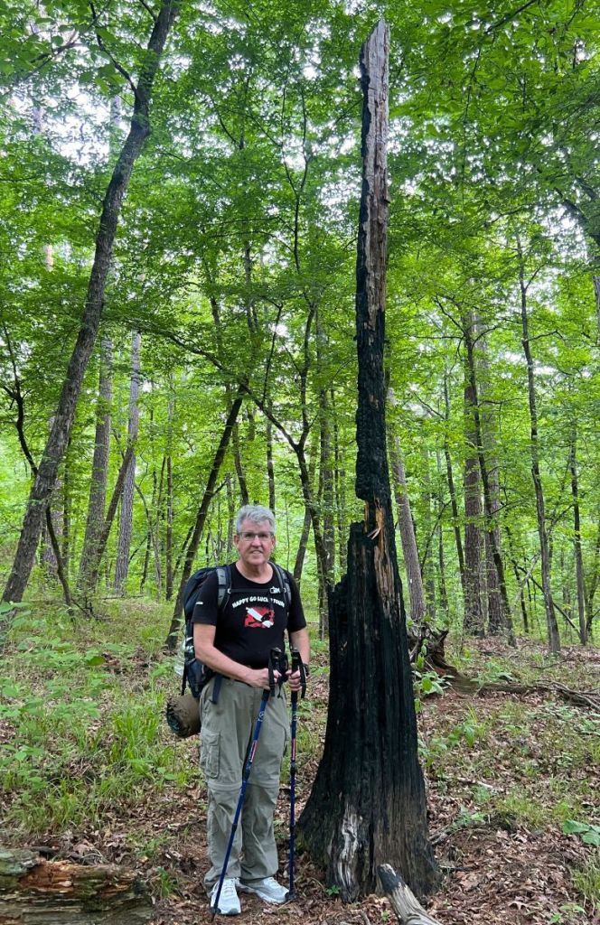
Backpacking the Four C was another adventure that exceeded my expectations. The obstacles caused by blowdowns and flooding in the Big Slough just added to the adventure. The historical background of logging and tramways from over one hundred years ago, and the forest’s subsequent recovery, emphasized how we live for just a short period of time. While the many bridges facilitated the hiking and added a fresh dimension, their challenges of survival highlighted that we have not conquered these forests. The hiking fun was augmented by lots of good catching up with Vance, who remains a fine backpacking buddy. The weather was good, albeit a little on the warm side. I hope I get the chance to go back and help with some trail maintenance, especially the crosscut team in the Wilderness. There is something special about maintaining tranquility in the forest, which is not possible with a chainsaw, but it takes a lot more human energy! What hike is next?
Survey Result
Having taken 500 photos of trail features and obstacles for my survey, I used them to create this custom Google map. It was efficient to create this map using the GPX track that I had recorded on my Garmin, and geolocated photos that I had taken with my iPhone. I had learnt from this previous survey of the TBTL that it was very difficult to take notes in the field, so I aimed to capture all necessary information in the photo. Incidentally, every obstacle recorded in that TBTL survey has since been cleared, and I look forward to the Four C being in a similar condition soon!
If anyone is interested in how to do such a survey, or knows of a trail that would benefit from something similar, please reach out in the comments below!

What a great hike!
LikeLiked by 1 person
Thanks!’
LikeLike