

After I had completed the lower “half” of the trail, I was eager to do the top half. I found few accounts of other’s adventures, but one suggested some obstacles, which made me a bit concerned. I was reluctant to do this by myself the first time, so I waited for the right opportunity. After two years, that opportunity came when my friend Vance, after joining me on a crazy hike (through a forest fire…), was keen to join my next crazy adventure! I found a good trail report from the Houston Canoe Club in 2020 which reported few, if any, obstacles. As I expected, water access locations 1 and 2 seemed the most viable launch sites, ending at either 5 or 6 depending on time and energy.
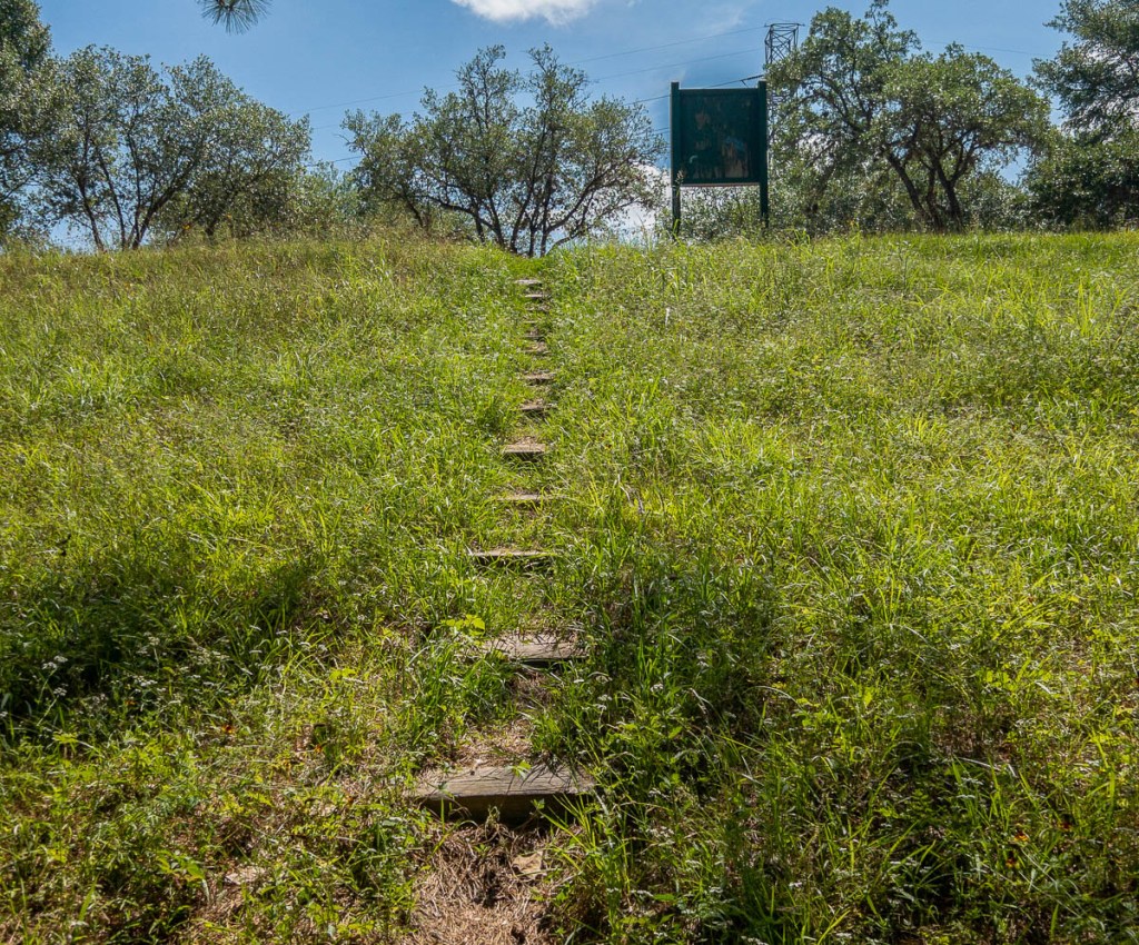
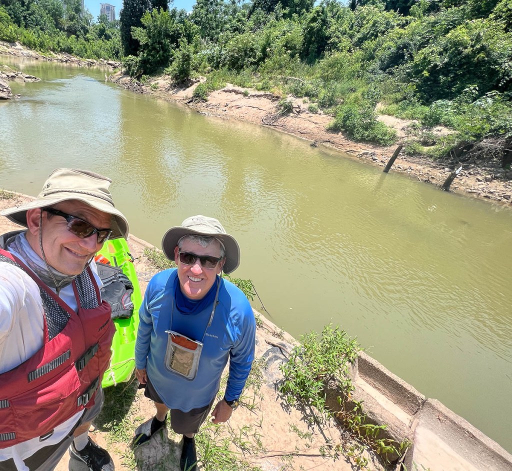
A couple of days before our adventure, I visited sites 1 and 2. Just above the Highway 6 bridge, there are viable launch sites, but I did not like the look of the bank. There were also some obstructions immediately downstream. Site 2 was easier, with a path down to the river from the main Terry Hershey hike/bike trail at the end of Memorial Mews. The rough steps lead into slow moving shallow water, which is South Mayde Creek coming from the Addicks Reservoir, just upstream of its confluence with the Buffalo Bayou which comes out of the Barker Reservoir. I opted for site 2. Site 1 would have worked as well, though it also adds float time.
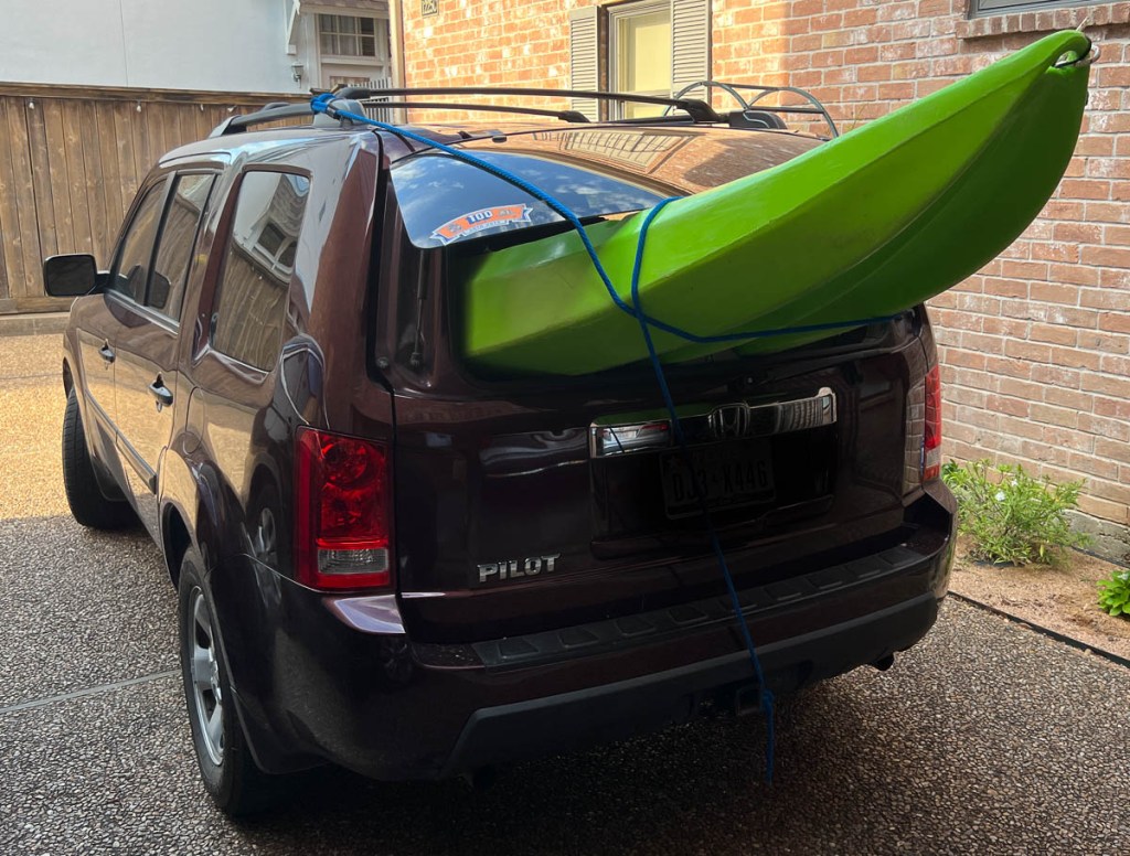
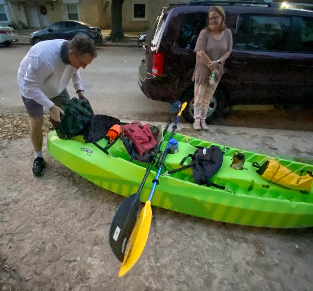
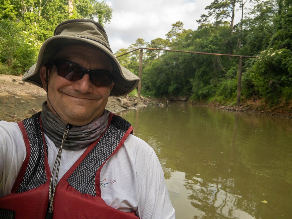
I had previously put the kayak on the roof rack, but this time squeezed her into the car. There was just enough room for the two paddlers and our fine shuttler Janet :).


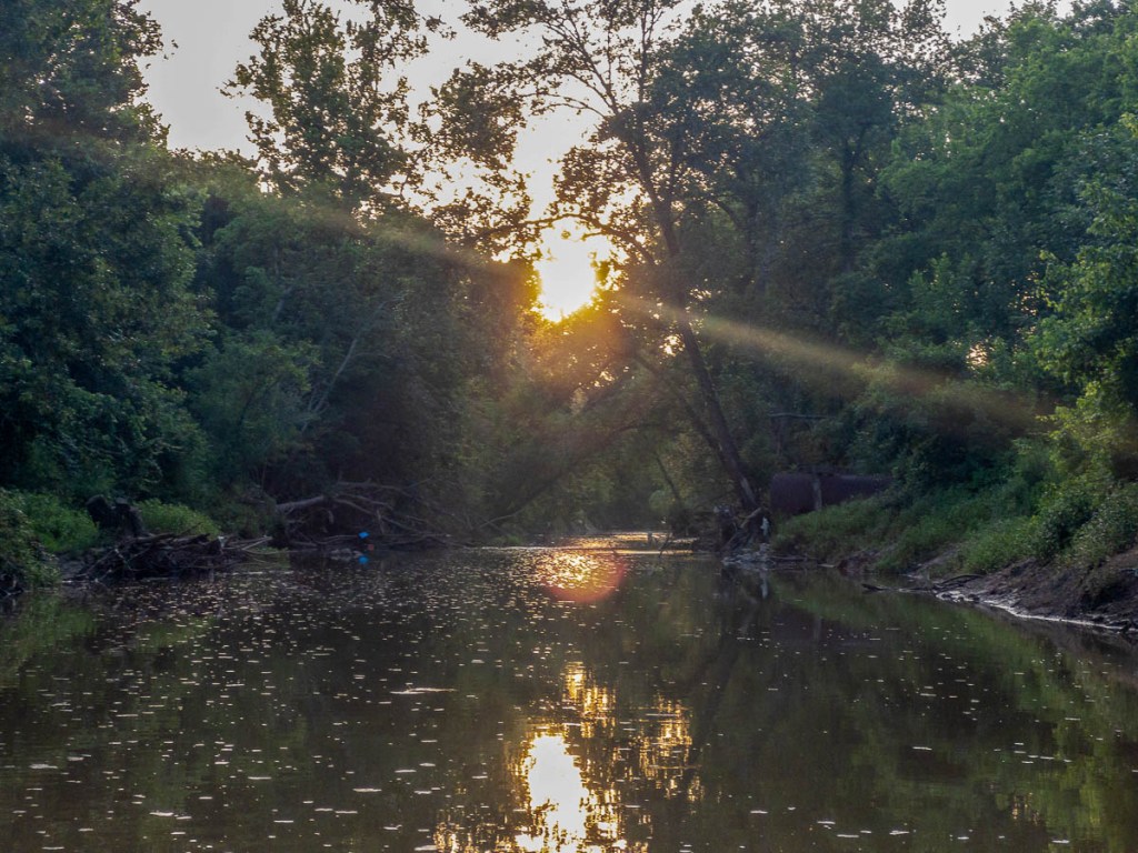
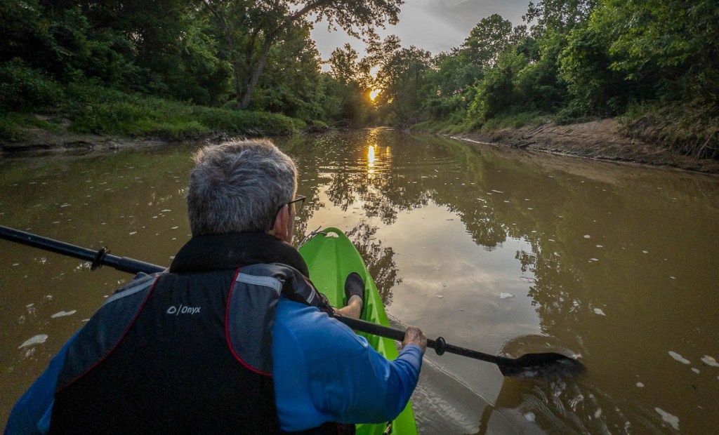
With daytime temperatures getting into the mid-90s, an early start was calling. Sunrise at 6:30 meant a 5am start so we can unload at the launch site at 6am first light. It was somewhat awkward getting down the path to the water, but on reflection was quite easy. We were soon floating downstream, amazed at the peacefulness and the surprisingly pleasant “river smell.” We were rewarded by a sunrise, reminding us how getting up early is worth it.

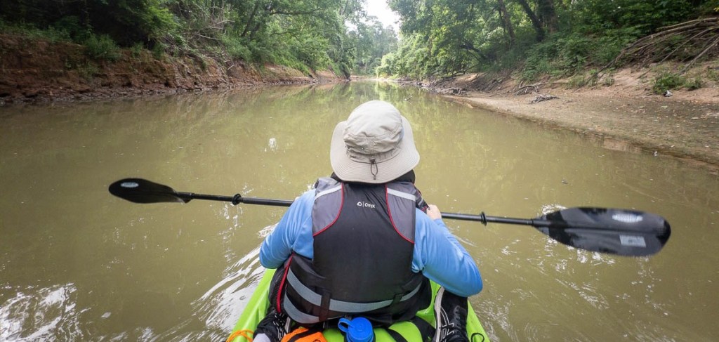
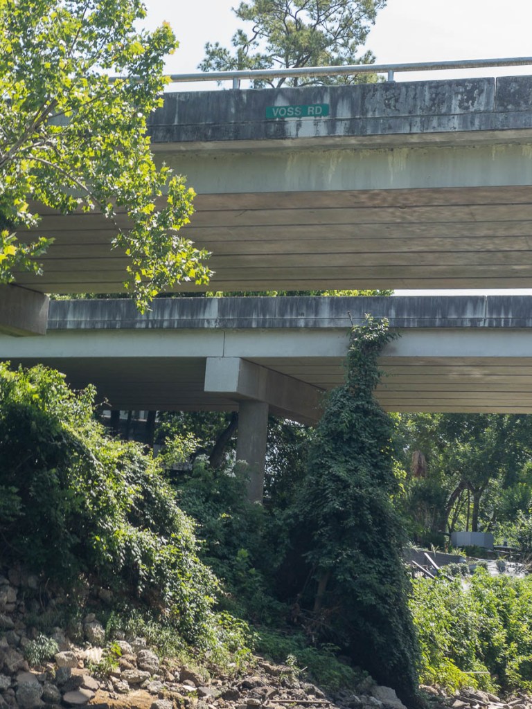
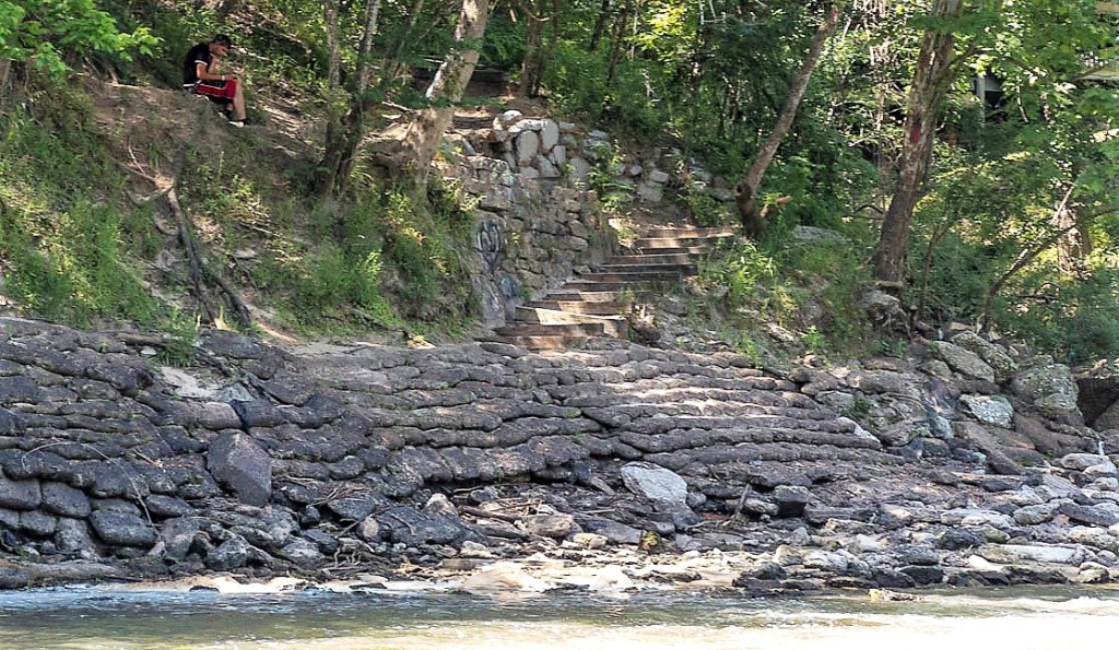
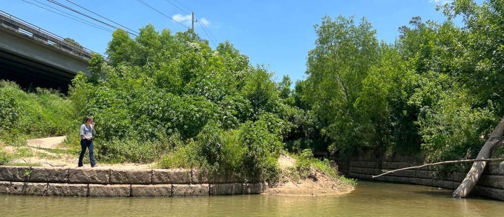
When paddling this river, the bridges are the landmarks. We did not see any other boats, and the only other humans were a family enjoying the river below the Beltway 8 bridge.


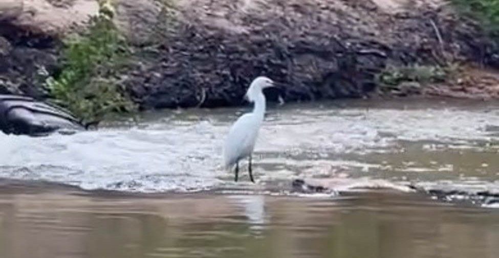
Some wildlife kept us company. The birds would fly off just when we were getting close. We noticed some two-foot gars in the water. We saw a couple of large splashes upstream and assumed they were jumping fish, until we spotted a two-foot-long turtle running down a sandbank into the water. During lunch, a snake was very interested in our kayak, though fortunately chose to swim elsewhere.


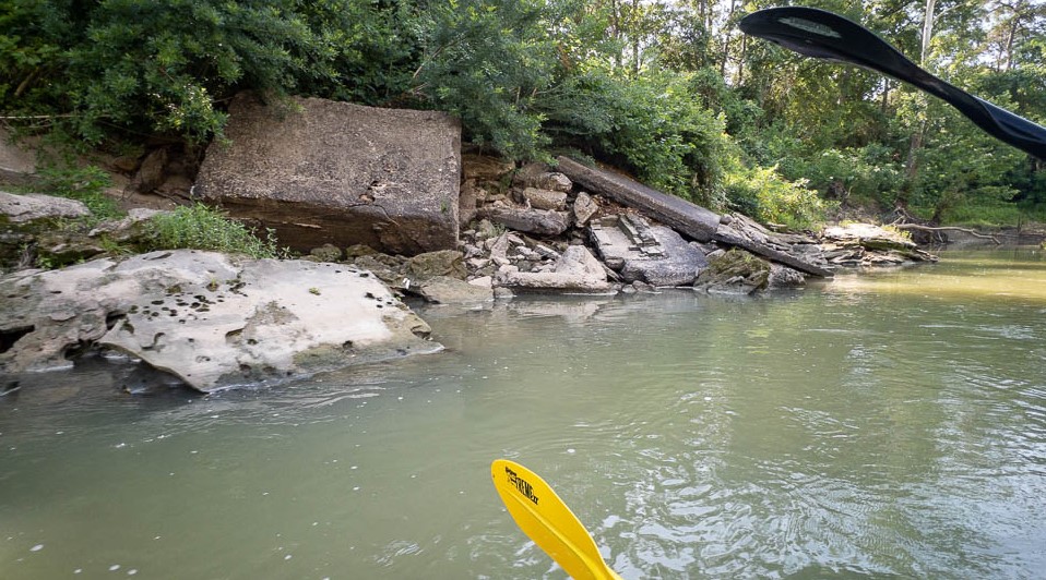
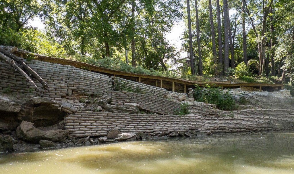
Some trees had recently been blown over, made easier by bank erosion exposing their roots. We only had to do a limbo under one fallen tree. Signs of damage through the years frequently interrupted the serenity.

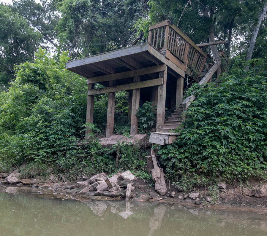

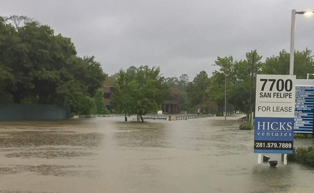
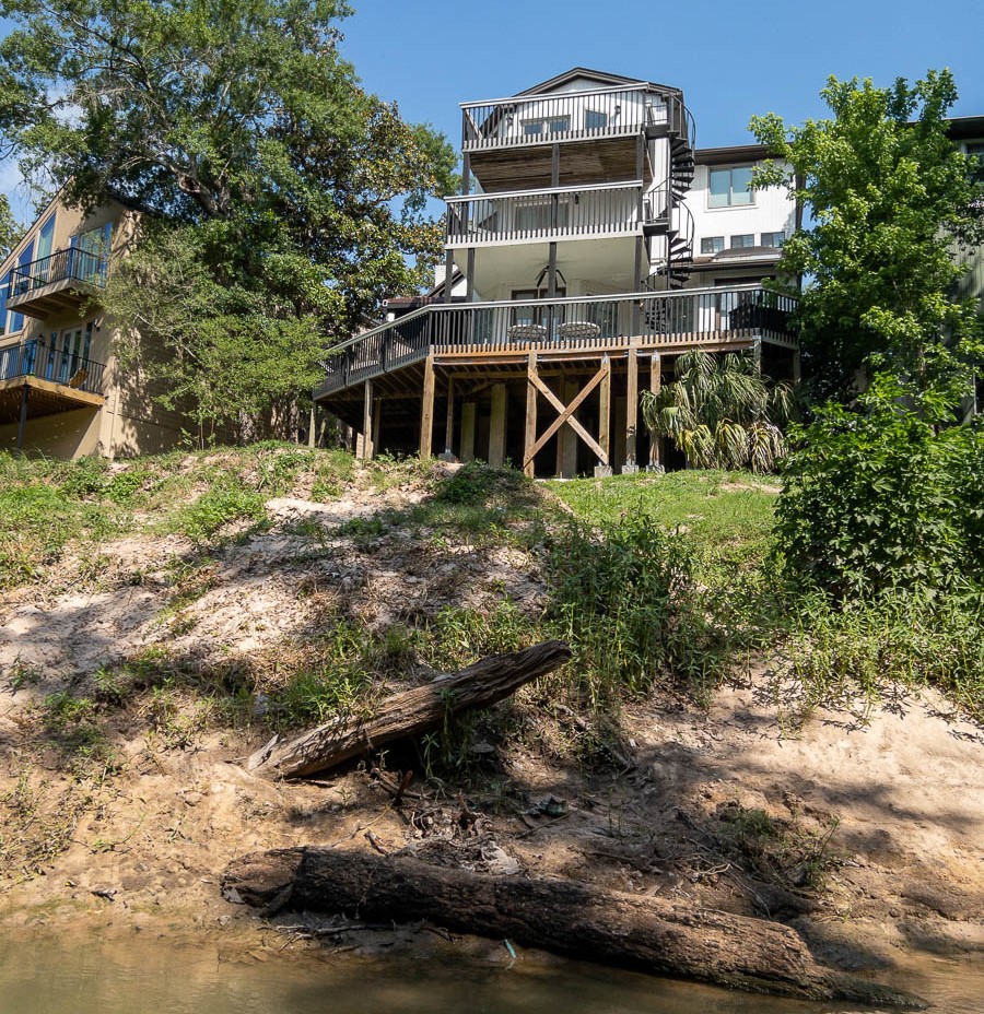
While there are many signs of damage, there are also many beautiful houses. However, we sensed the tremendous level of insecurity these homeowners must feel, wondering whether a Harvey-type event would happen again in their lifetime. There were several elaborate fortifications to protect against such an occurrence.


After about three quarters of the trip, we were ready to finish. The sun was high and hot, and the arms ached. When we would stop and get out of the boat, our legs were quite wobbly because of the kayaking position, and we both fell in. We could tell we were getting close to the end when we could hear the “thwacks” of tee shots from Houston Country Club golf course, and were happy to arrive at our destination.

This page is linked to from my Buffalo Bayou Paddling Trail home page.
