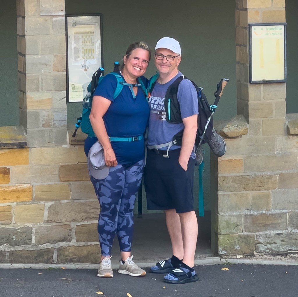
We were back in the hills! While the hot temperatures made it uncomfortable and challenging, the clear skies opened up amazing views for all of our 11.3 miles which we completed in a little over 5 hours. Tracy and Dean had their own adventure in working out how to travel by bus to our destination town of Great Broughton, and managed to sample some of the views and experience local friendliness in a park.
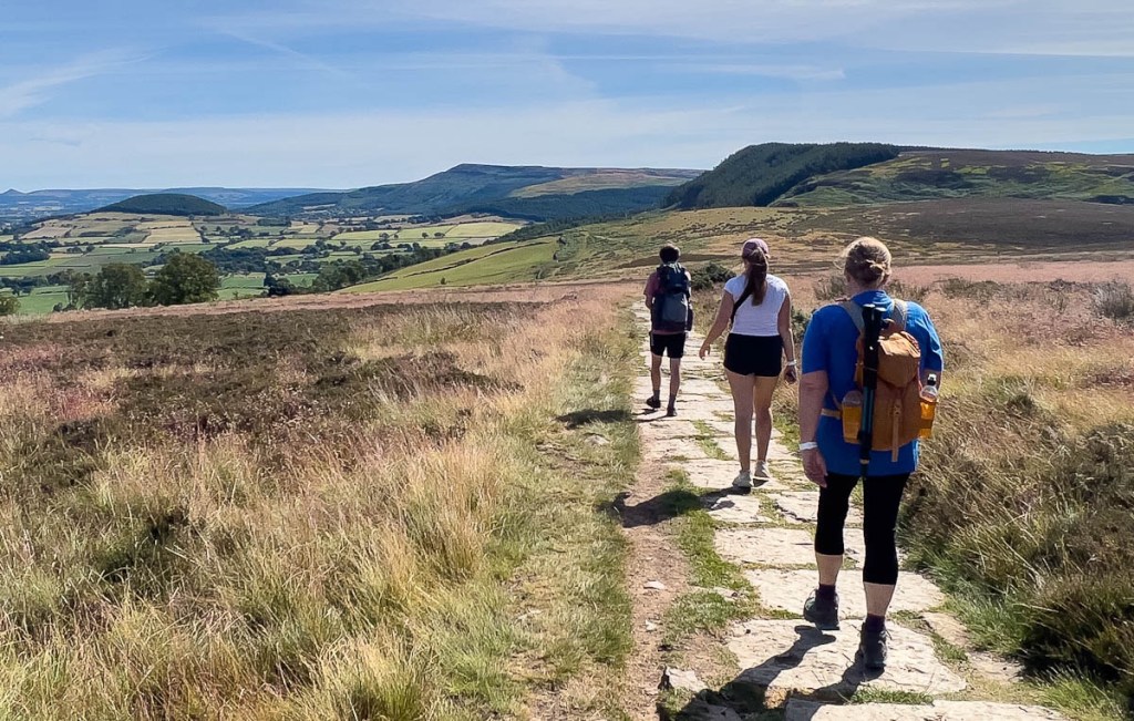
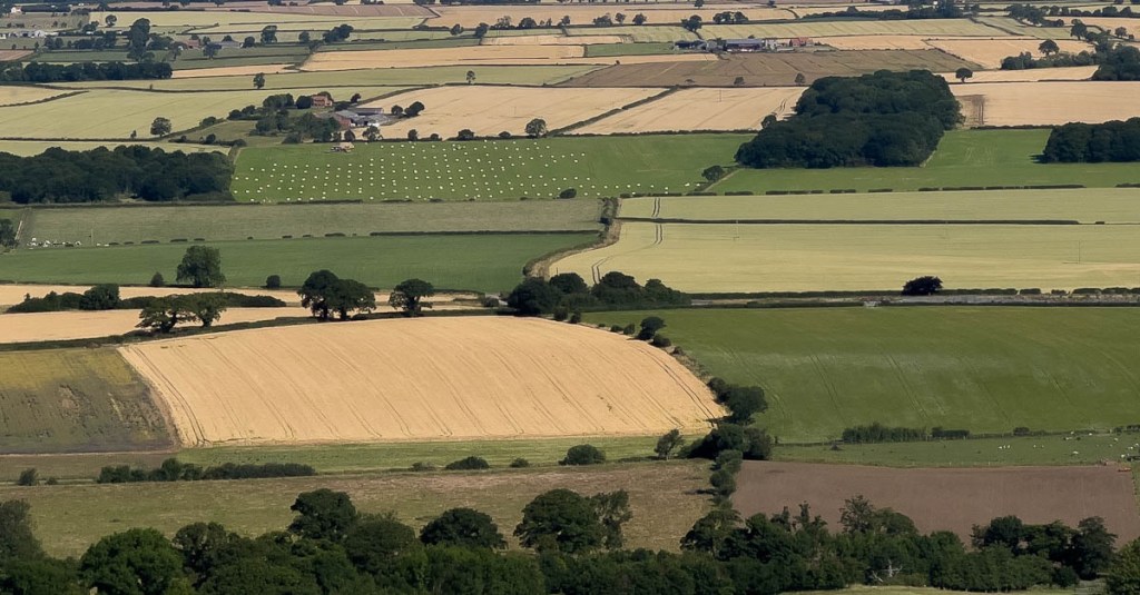
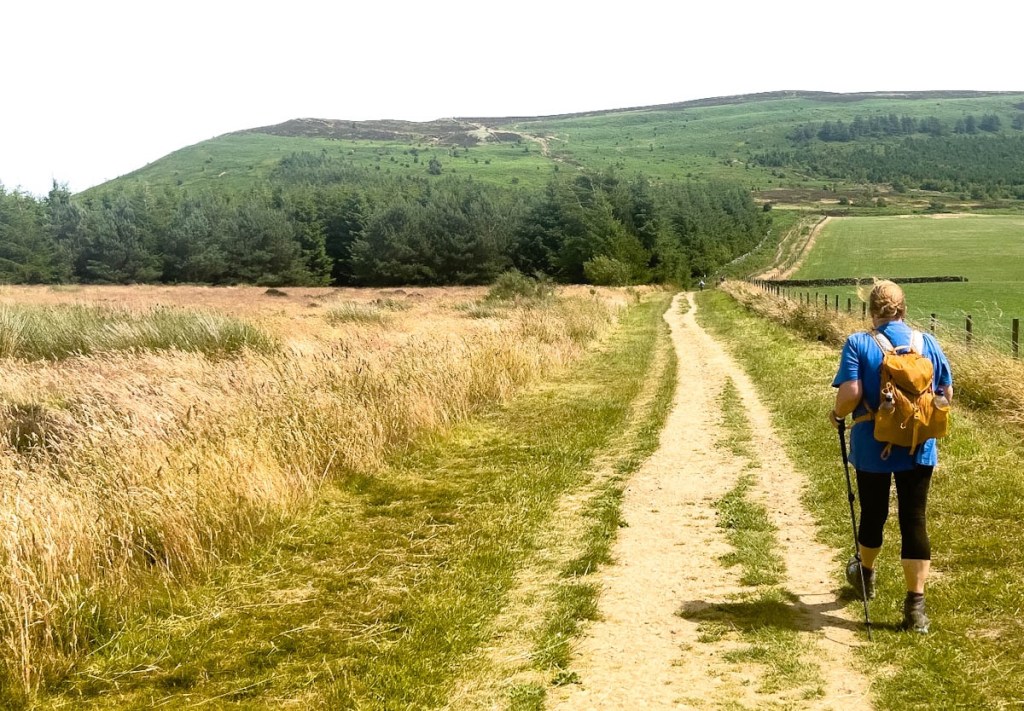
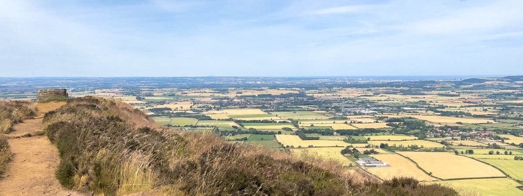
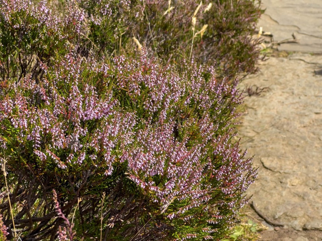
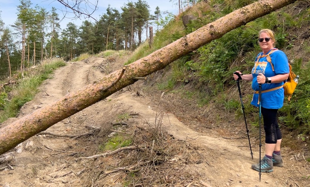
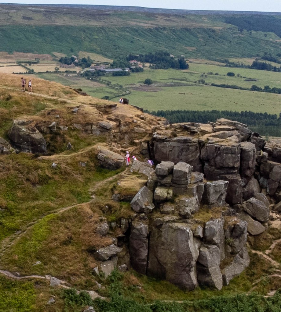
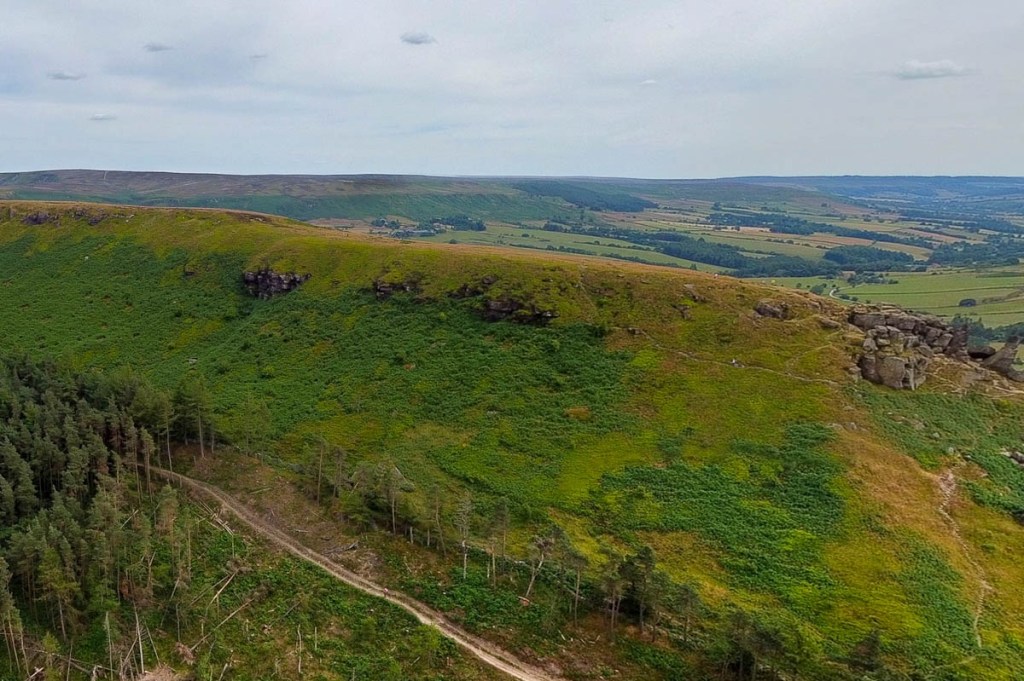
After a short section of road to take us out of Osmotherley, (or Othermotherly as we called it 😁), we entered the moorland where most of the path was paving stones! I’m still not sure whether I like them or not, but we have walked on worse… The trail mostly follows the top of the escarpment, with views of the agricultural valley leading to industrial Middlesbrough and the North Sea beyond! We had a grand lunch stop at Lordstones, a cafe and campsite after 7.5 miles that was a great break. 1/2 mile before that, I had flown my drone at Carlton Bank which was a lot of fun. I got some interesting shots and I think my videos are improving! After lunch, it was only 3.5 miles, but it was hot with climbing. Samuel put quite a lot of distance between himself and us, with Bailey staying pretty close to him. As we approached the final set of hills (the Wainstones), I noticed a forest service road that avoided the top and was more level. Janet jumped at that opportunity, and an added bonus was more shade in some forest. I tried to take some drone photos of the kids while flying from below and not able to see them directly, but it was challenging.
Shortly before arriving at Clay Bank Top, I’d called our hotel to pick us up, as it was a couple of miles down a steep hill from the trail. During my planning at home, I’d wondered how the pickup would work, and in the end it worked very well! As we continue to greatly appreciate, Dean and Tracy had checked us in and taken our bags to our rooms, and greeted us as our car pulled in! Unfortunately, the rooms were still warm in the unseasonable heatwave, without even fans in the rooms. This had been a big issue the night before where the heat had prevented much of our sleep. I hope we manage to cool off tonight, but at least the hot spell is supposed to end tomorrow. And we have the “4th highest inn in Britain” to look forward to!
Check out today’s short overview video which really shows how we walked along the escarpment and the “five peaks”: https://www.relive.cc/view/vKv21JKg84q
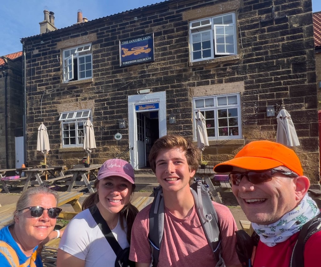
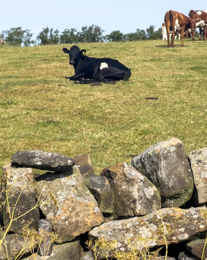
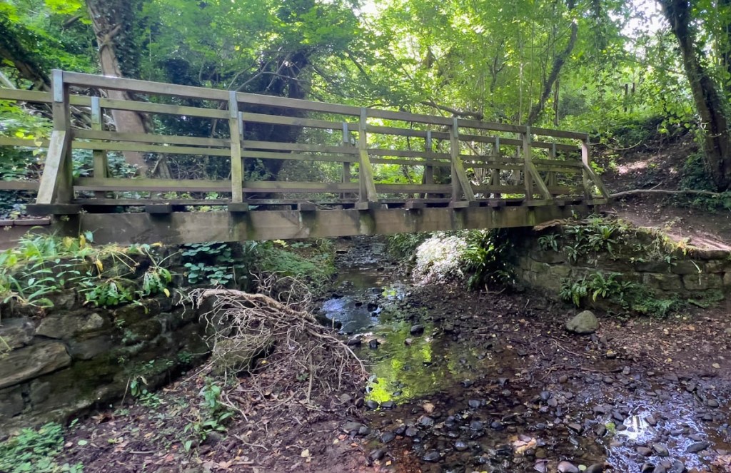
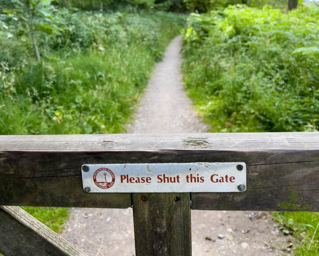
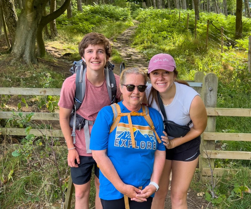
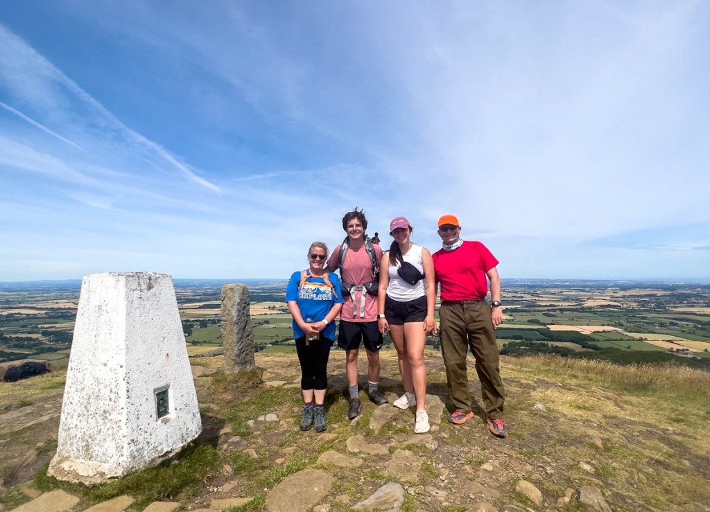
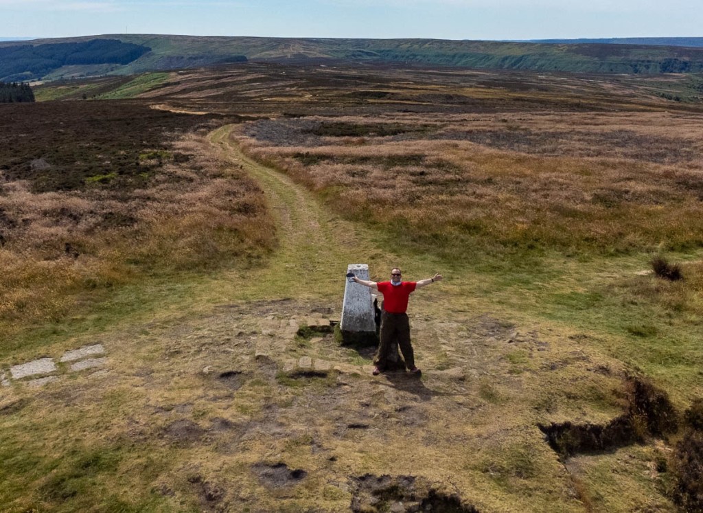
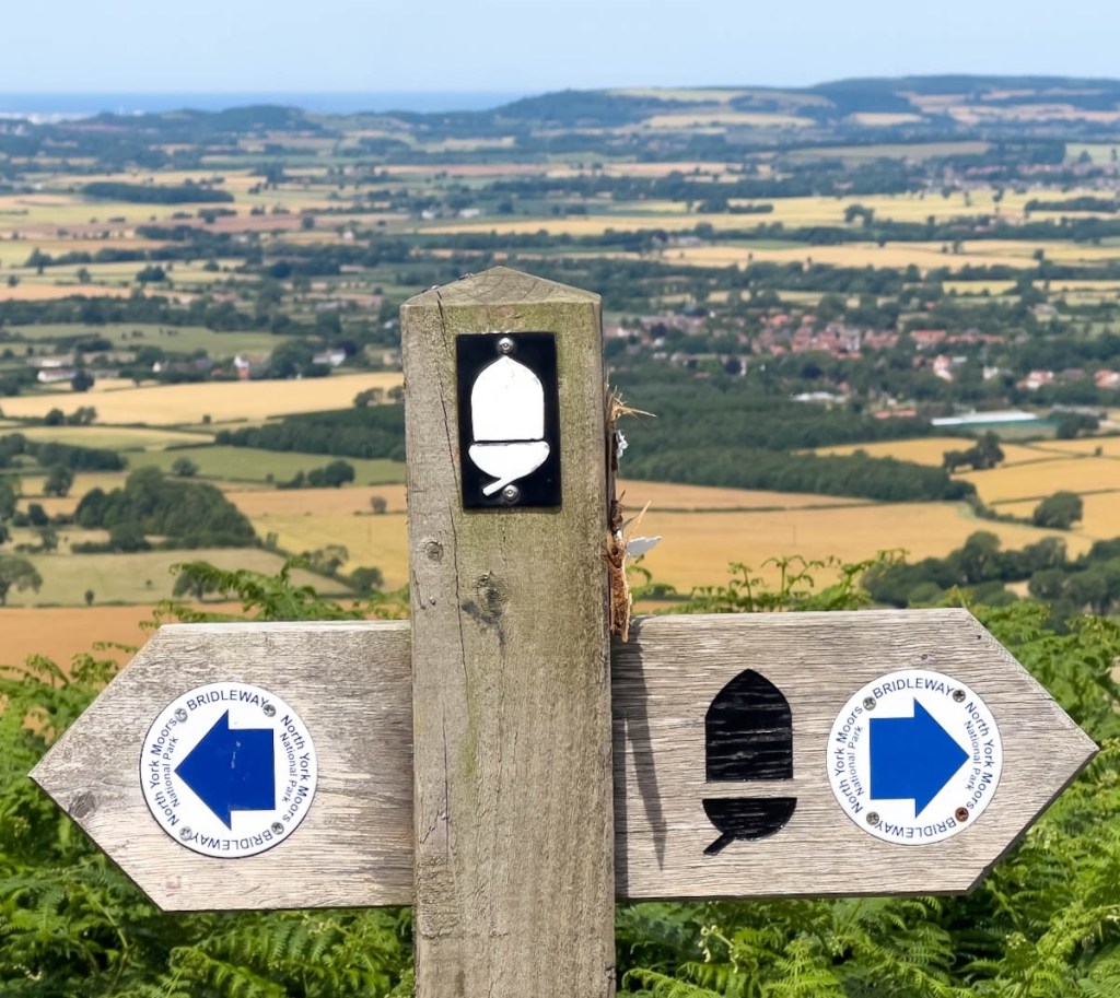
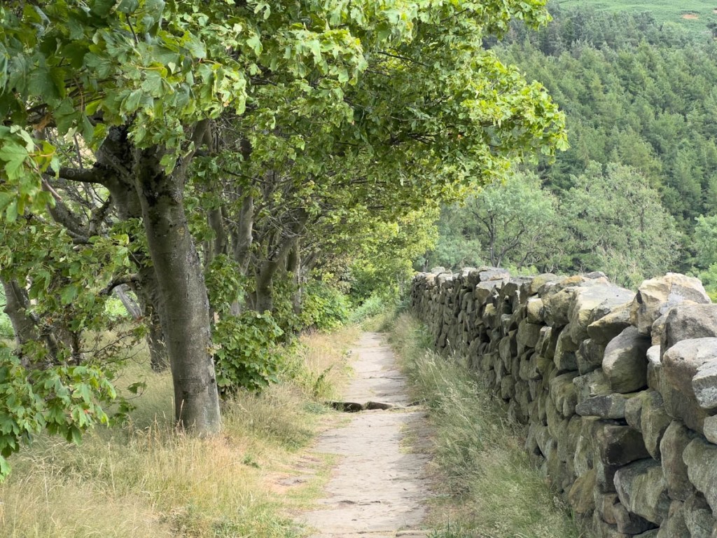
Tracy and Dean waited at the bus stop for the start of their day’s adventure.We said goodbye to Osmotherley.The cows look the same, but the dry stone walls are noticeably different from the Lakes as there is no slate.We enter the moor with glee with the open vistas and the paved trail!We enjoyed the early sun, before it got too hot!The trail followed the top of the ridge, which provided the best views!It was fun looking down at the different coloured fields and recognizing the wheat. I’m not sure what is in the field beyond as the white blobs look too well organized in rows to be sheep!I realized that we had missed woodland and streams when we were hiking across the valley.Janet was excited when we saw our first Highland Cows, though momma seemed to be fighting a tree branch in front of her bemused calf.The National Park signage had changed.They were happy to smile for the photo as we were in some cool shade, and before tackling the climb behind them.The climb included passing through heather.Great views from the top of Carlton BankI let the others head down to lunch so I could play with my drone. With some great views across the valley.I love the 360 perspective.Wow! That’s a big hill!When I see the hill from this perspective, it triggers my fear of heights!This shows how we hiked along the ridge. our lunch cafe was in the trees in the valley.After lunch, a fine trail led us up the next hill…… which provided more great views.The purple gorse by the trail was pretty, even though it was not in full bloom.This was the Cleveland Trail signage that we followed for most of the day. Great Broughton, the day’s final destination, is the small town behind, with the North Sea in the distance! Janet and I took a forest trail to avoid some climbing, but it had its own obstacles.These are the Wainstones which we avoided, and you can see Samuel and Bailey top left (courtesy of the drone!)While the kids walked along the ridge, you can see the forest trail below that Janet and I hiked. Trying to photograph the kids with the drone was very difficult when I could not see them directly, and I struggled to find them with the drone’s camera.As we made our final descent, we saw a herd of Oreo cows that we should be hiking through tomorrow. Yay!The path at the end of the day emphasized the difference of the moors, showing the forest, trail, and the different type of dry stone wall.Our finisher’s photo was in a lay-by, waiting for our lift to the hotel, but Bailey will make sure we are in exactly the same spot tomorrow!We had to take a photo with the full team at our hotel!
"Cajunlimeys" combines Lousiana (Janet) and Britain (Peter). British sailors in the 19th century were nicknamed "limeys" as they drank lime juice to prevent scurvy. However, while Janet is a fine cook, she has no Cajun blood, but the name fit.
We love adventures and use blogging to write a photo diary to preserve our memories. Some crazy friends enjoy following us, and my notes might help others plan.
View more posts
One thought on “Coast to Coast Day 15: Osmotherley to Clay Bank Top”
Beautiful scenery today. You are having the walk of a lifetime! I am very envious, Mel


Beautiful scenery today. You are having the walk of a lifetime! I am very envious, Mel
LikeLiked by 1 person