

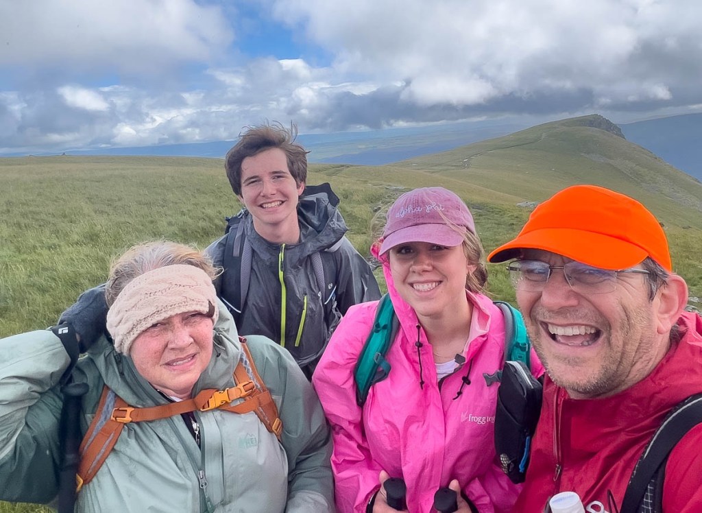
Today we completed just over 15 miles in just under 8.5 hours of walking. This was our final day in the Lake District and this blog will be a bit different from the others so far. First, I am seeing the real danger of all the days blurring together. Even though experiences might sound similar and the photos kinda look the same, each day has been tremendously different. So, I will include a few more photos to catch the vibe of the moment. Selfishly, this is my journal, yet I hope you like it too! Second, I want to provide a bit more info about the route we took. This leg includes the highest point on the Coast to Coast, and the guidebook is not kind about how hikers feel at the end in Shap. Our hostess at the B and B had encouragingly explained how it was not that bad, but this contradicted most of the reports I had read about in the Facebook Group, except for one ray of hope around a different descent via Low Raise which we took. I want to describe it to encourage others.
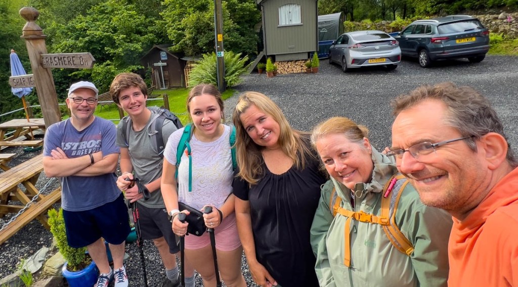
But let’s start at the beginning of the day! Tracy and Dean decided to take the roundabout route to Shap via Penrith in a taxi. They graciously did some laundry, and our socks (Samuel’s and mine especially) were what you’d expect after 4 days hiking, so they are true heroes. As that thought might make you squeamish, I won’t share any more about Tracy’s blister which is the biggest I have seen and caused this tremendous act of service. The blister might be the only thing about Tracy that is inappropriate for children!
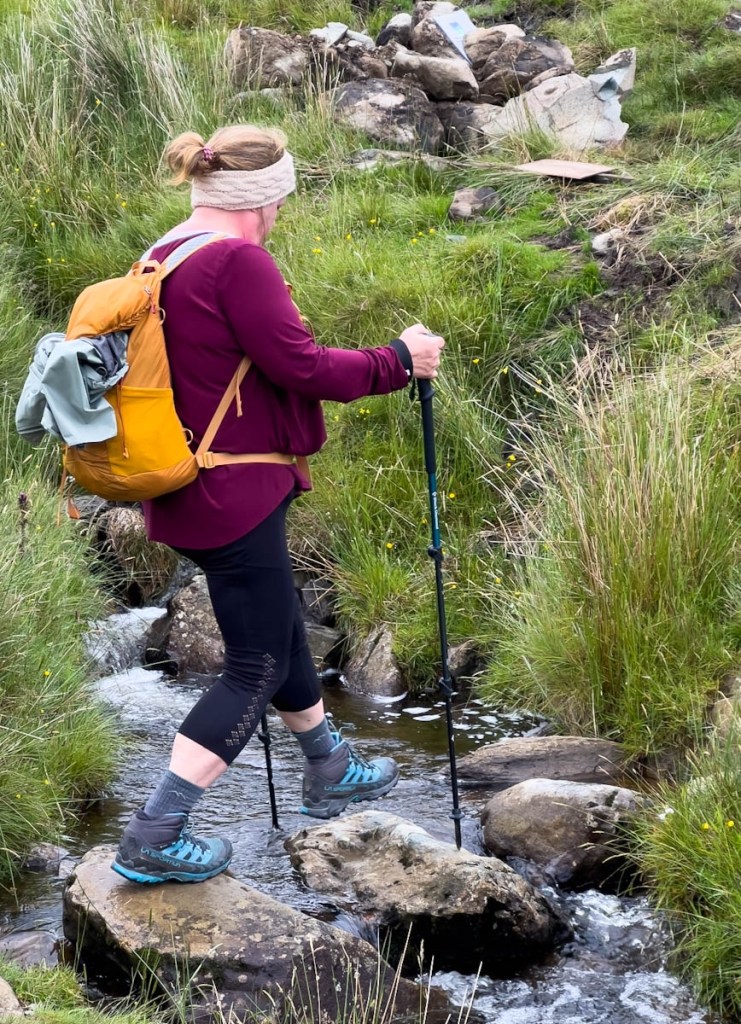
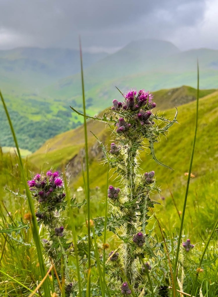
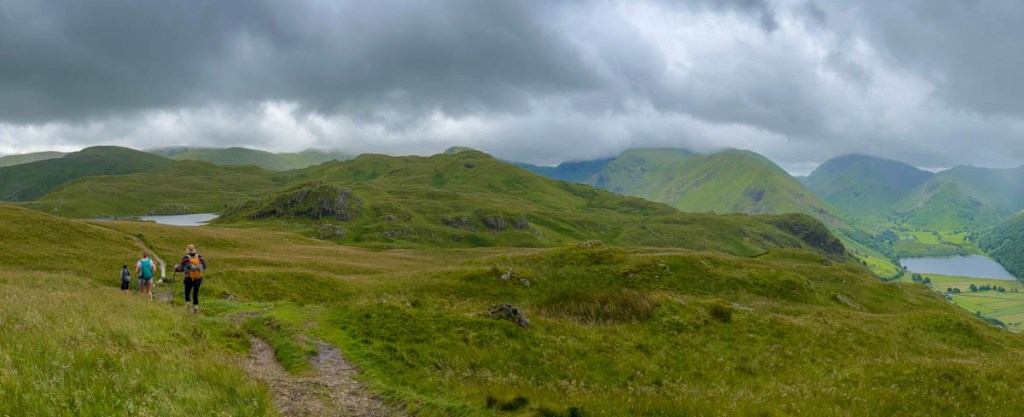
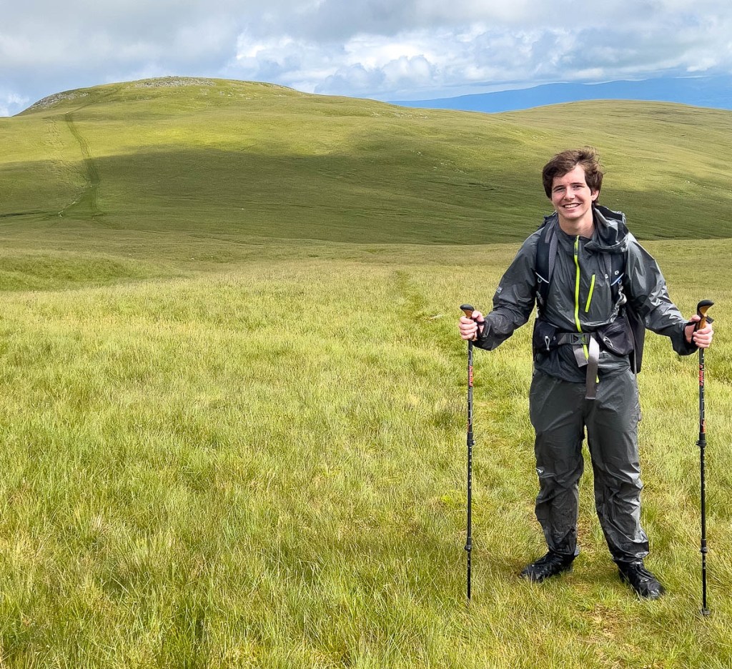
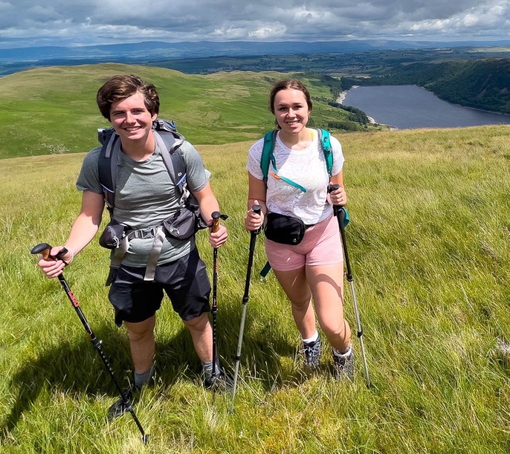
We knew it was a long day so we got our breakfast as early as possible. The first five miles is up. While there are some level sections in that, one is greeted by a 1000 ft climb immediately out of the B and B. We made good progress, and the weather continuously threatened rain and sometimes delivered. Lakes that we had never heard of came into view. We made it to Angle Tarn, which is about half way up, sharing the trail with a few other pairs or groups of hikers. While nothing like our Day 2, it was wet and windy and a tough climb. There are lots of different paths and we chose the wrong one a couple of times, but we blame the people in front of us who we were following! 😎 We went in and out of cloud which cleared just as we approached Kidsty Pike.
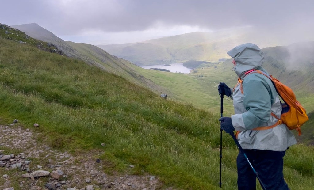
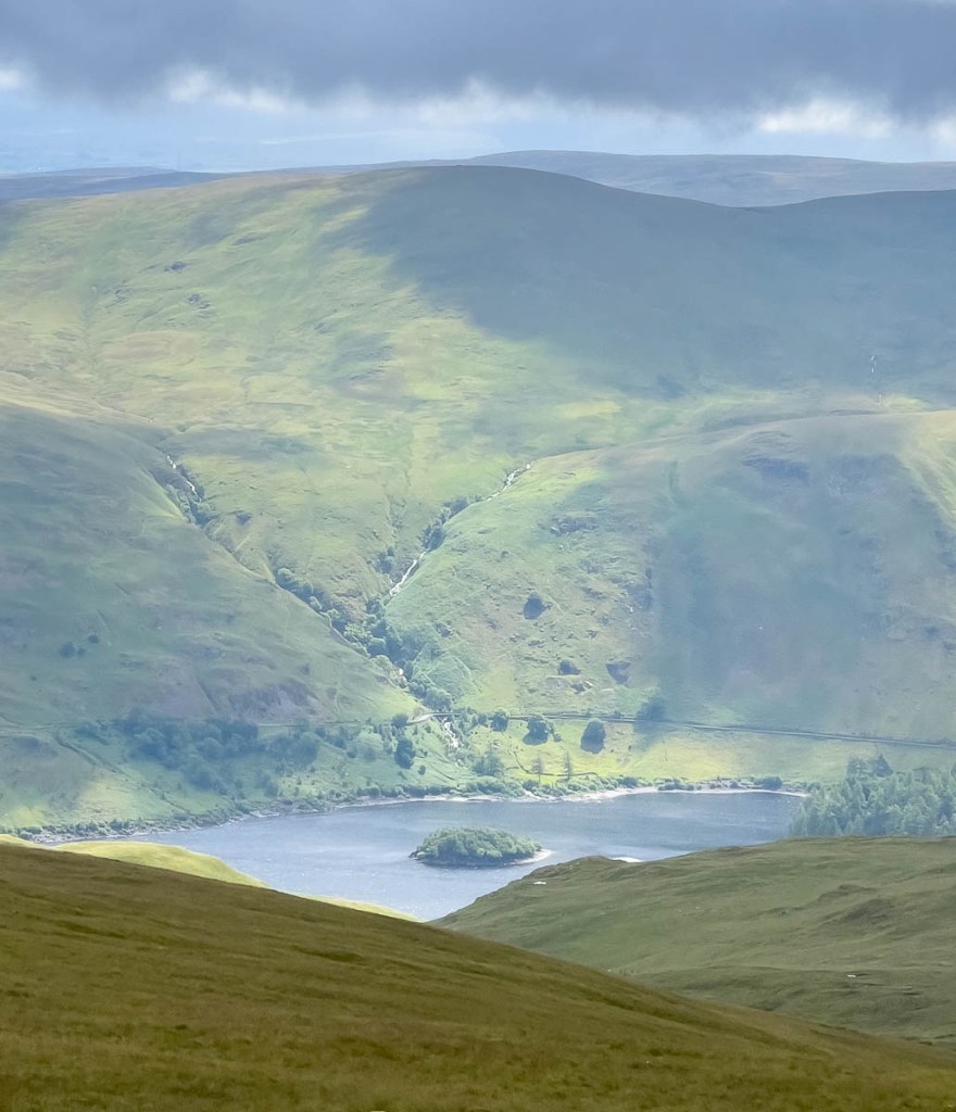
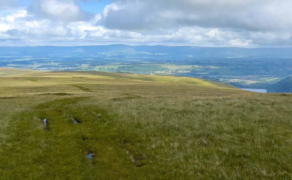
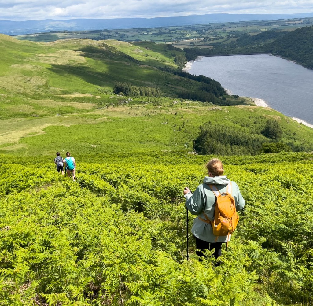
This was where our alternate route kicked in. I had found a link to a comprehensive description by Dave Walsh. I confirmed it’s suitability in the Facebook Group and got an OS Map link from Anthony Pipes. We chose not to go up Kidsty Pike, and wanted to get on the track to Low Raise. As we approached Kidsty, I could not see a trail to the left so we bushwhacked across the longish grass for about 50 yards until we came across a faint but discernible path towards High Raise. We took the turn to Low Raise where we stopped for lunch in its wind shelter, and then followed the track all the way down to close to the end of the reservoir. The path is soft grass with a few damp places, wonderfully kind to the feet even though you are descending. There were a couple of steepish bits that needed care, but it sounds so much better than the main route along the reservoir. When we rejoined the main route, a couple of gentlemen that had overtaken us on the way up overtook us again, and were intrigued how we’d done it. Their descent and journey along the reservoir sounded as bad as everyone described, and we’d shortened the trip by a mile as well! My GPX file is linked here. This alternative route is strongly recommended!
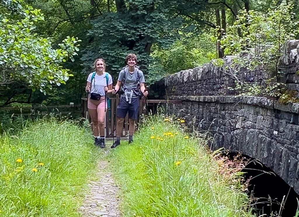
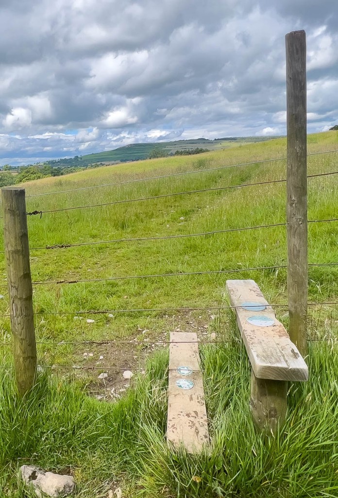
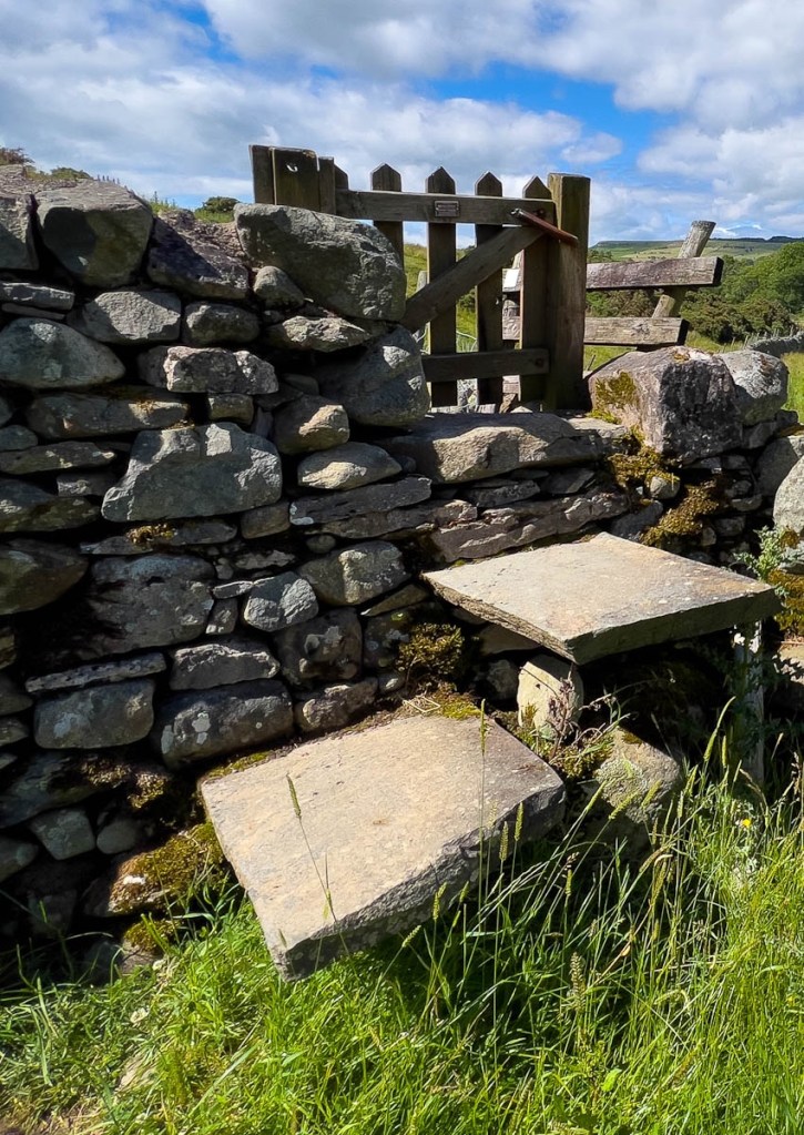
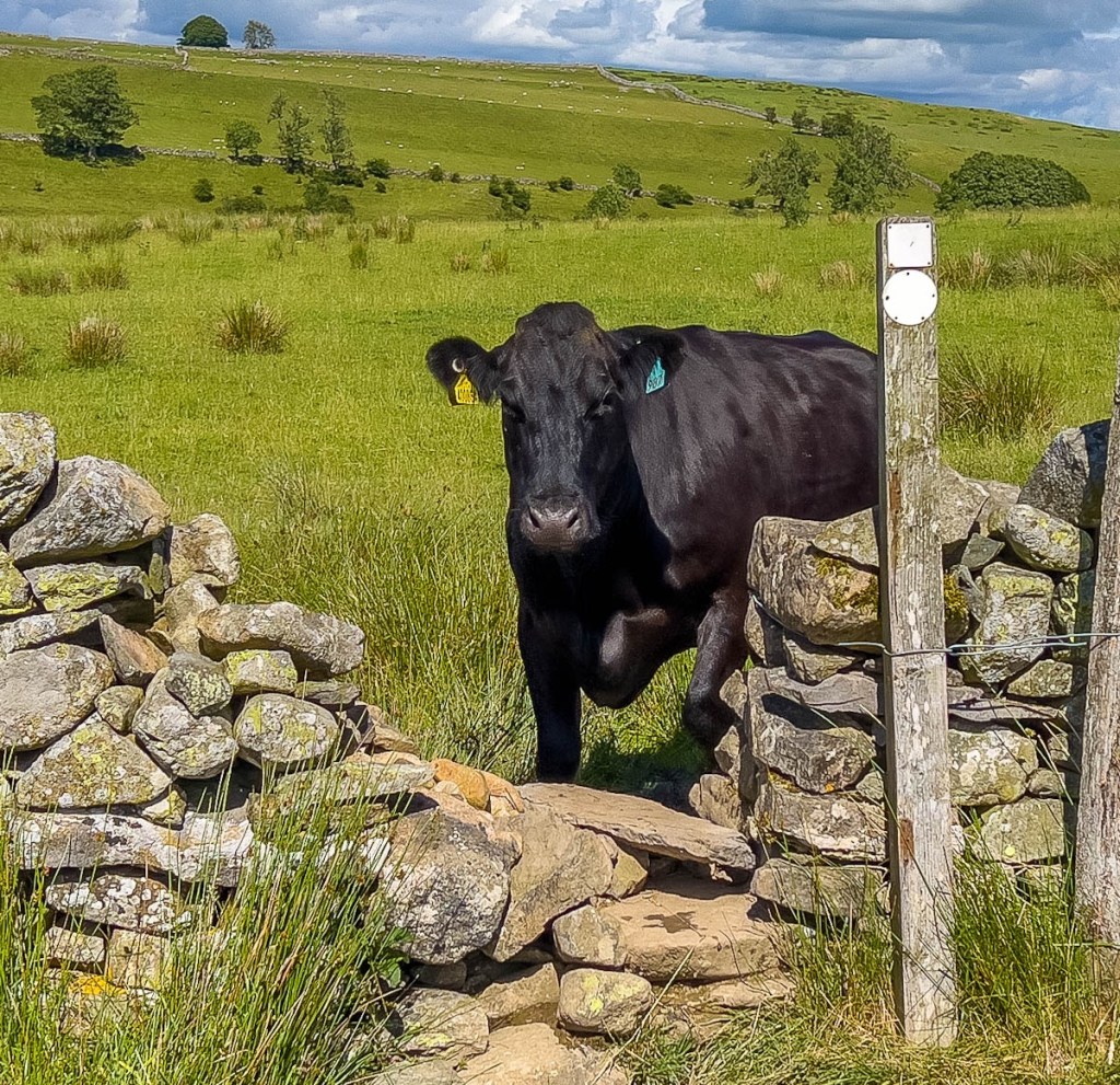
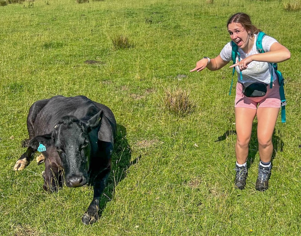
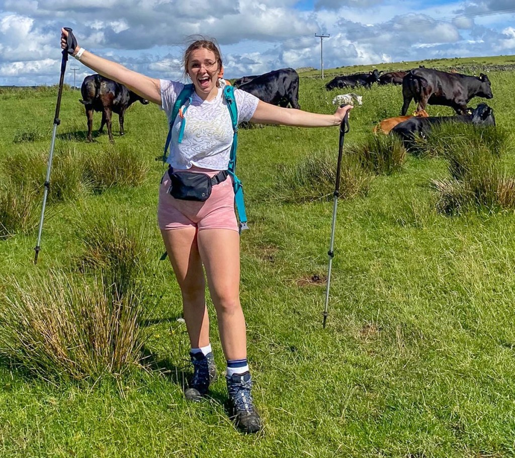
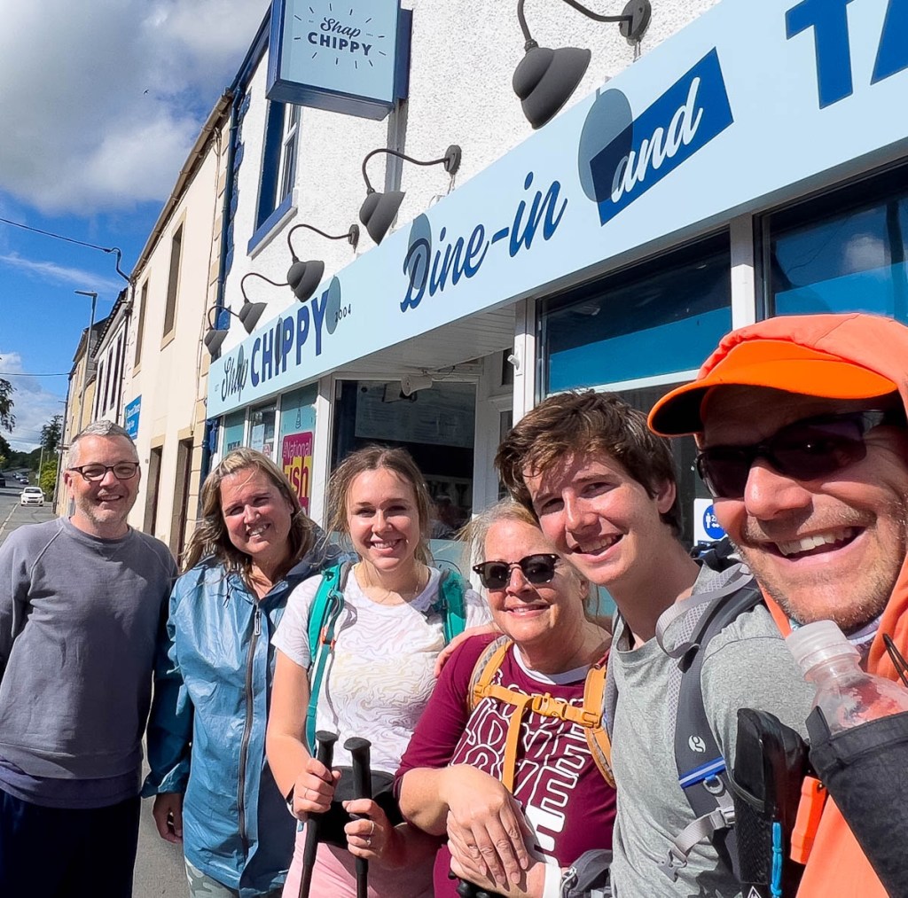
Even though we had found an easier route, we still had 5 miles left to Shap. The environment had changed from the fell, ranging from pine trees to cows. There were lots of pretty stiles that become a much greater challenge after 14 miles of hard walking. But we made it into the village, heading straight for its famous Chippy, where we met Dean and Tracy. It did not disappoint, and a convenient grocery store close by allowed us to stock up on snacks before heading to our hotel and a well-earned rest. Team Sloth is hiking together again tomorrow for a short trip to Orton and some interesting sights, and the psychological crossing of the M6 motorway.


Don’t forget to check out Day 6’s Relive video at https://www.relive.cc/view/v8qkBLXxmK6
This page is linked to from my England’s Coast to Coast home page.
Please follow us on this journey by subscribing below, and we would love to hear your encouraging feedback.
