
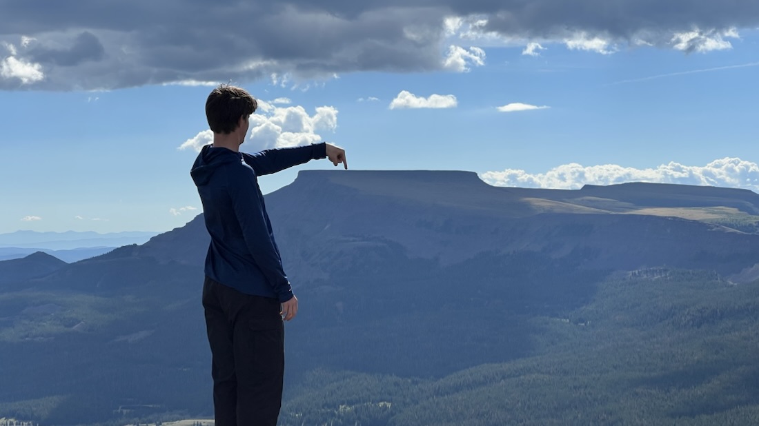
In August 2026, Samuel and I spent five days and four nights backpacking about sixty miles around the Flat Tops Wilderness in Colorado.
This post is in two main sections: Highlights, to read for fun, and Details, to relive our adventure and use if planning your own adventure.
Highlights
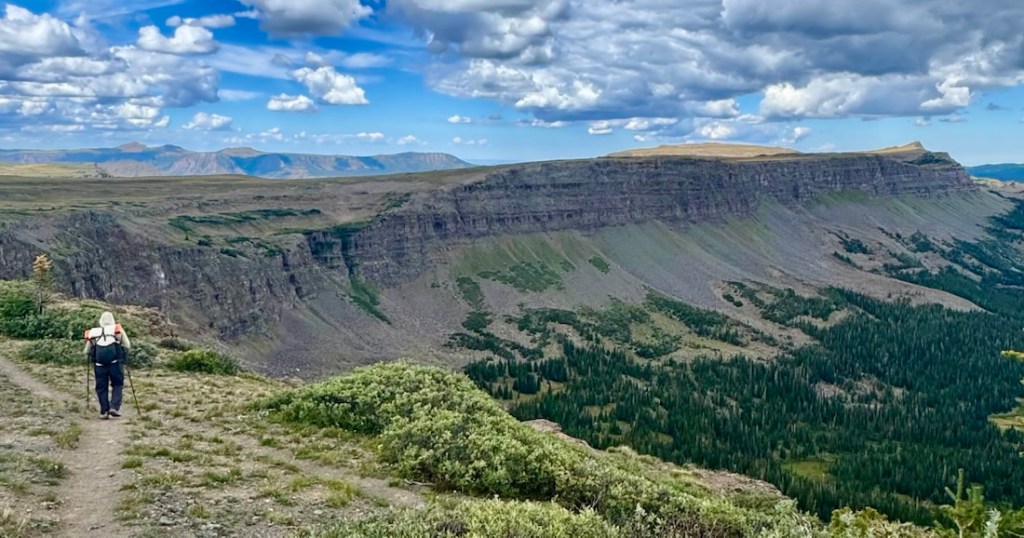
The Flat Tops Wilderness is the second largest wilderness area in Colorado, north of I-70 and west of Vail, between Glenwood Springs and Steamboat Springs. It is less popular than other areas as its highest mountain is only 12,361 ft. This leads to less information being available and increases the solitude. Its special feature is a very large plateau, most of which is over 10,000 ft, with some reaching nearly 12,000 ft.
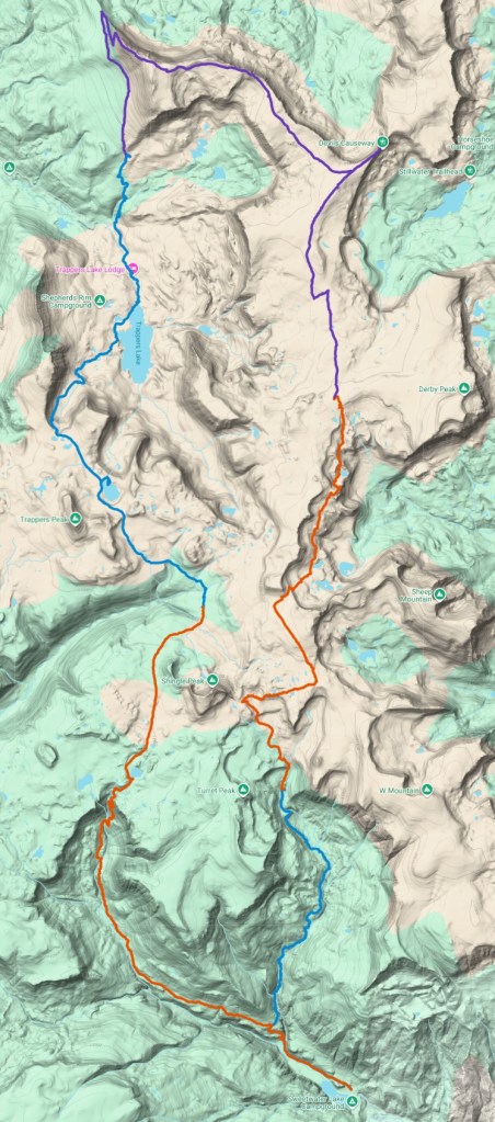
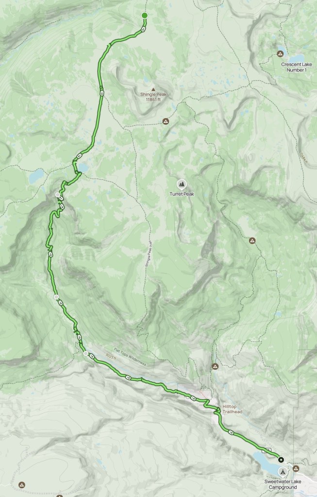
We hiked a sixty mile loop from the southeast corner, starting at Sweetwater Lake, and camping in the wild wherever we chose. We visited the Devil’s Causeway, the most famous hiking landmark in this wilderness. We walked around Trapper’s Lake along the Arthur Carhart trail, named after the US Forest Service employee who surveyed the area in 1919 and sparked the American wilderness preservation movement, designating areas where all motorized equipment is banned and that cannot have permanent structures.
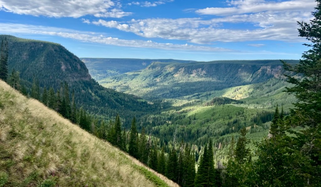
Highlight 1: The Views
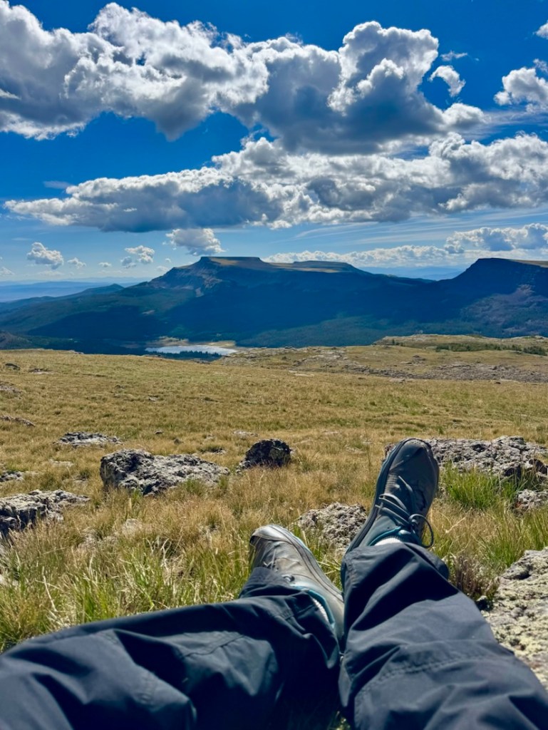
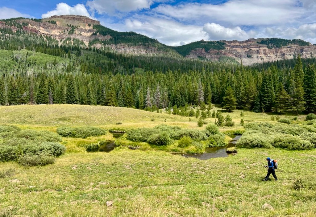
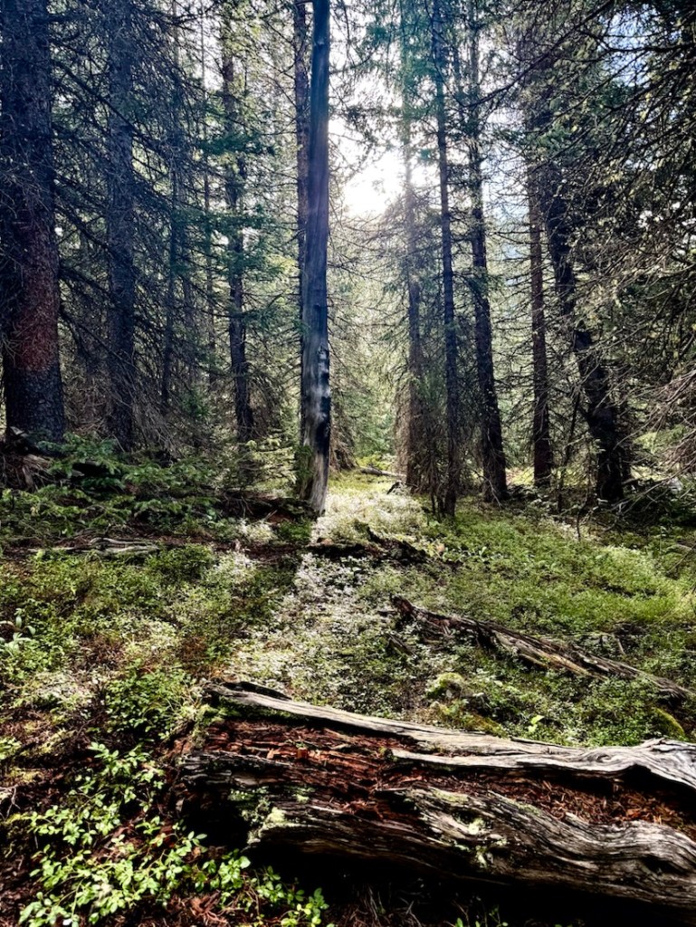
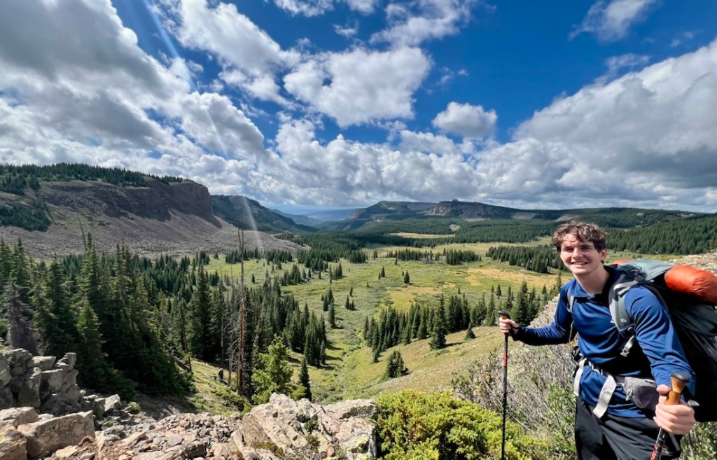
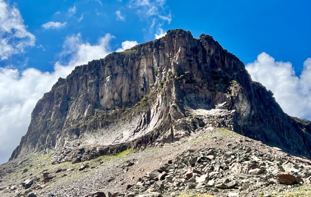
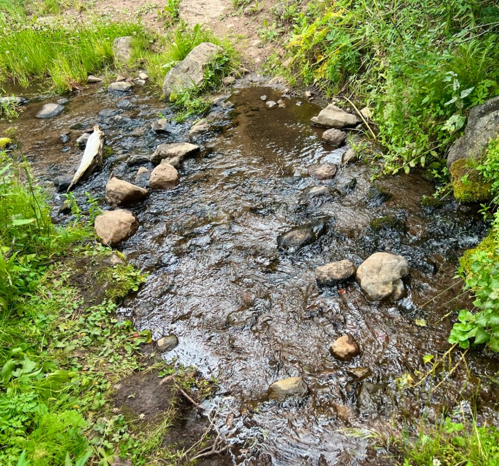
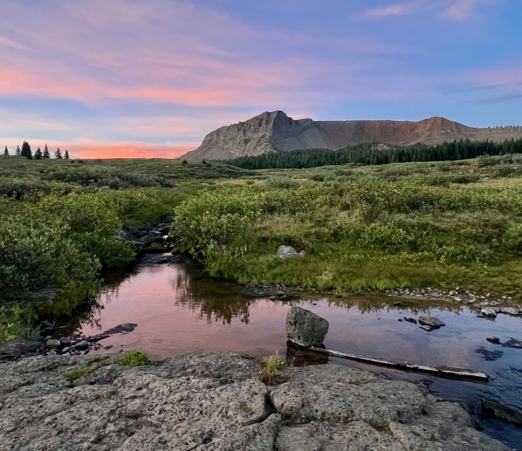
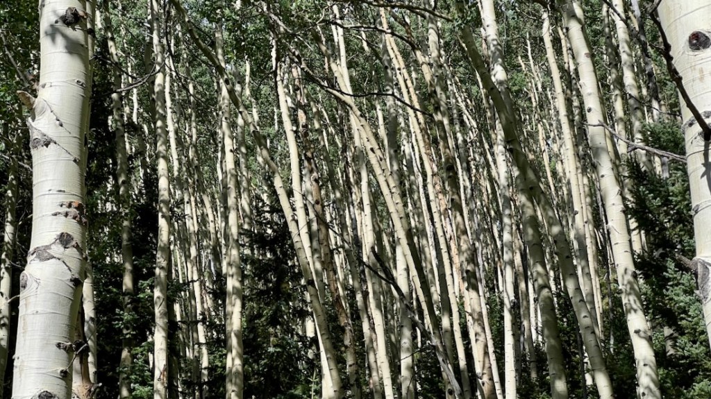
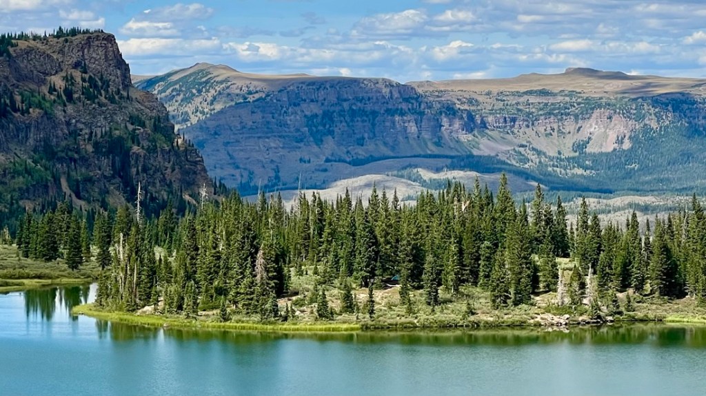
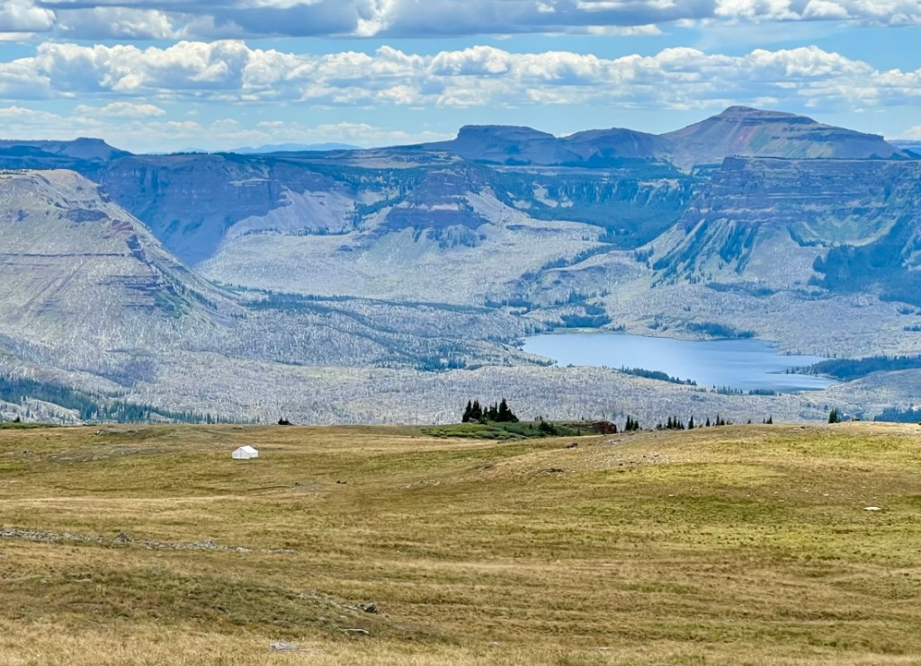
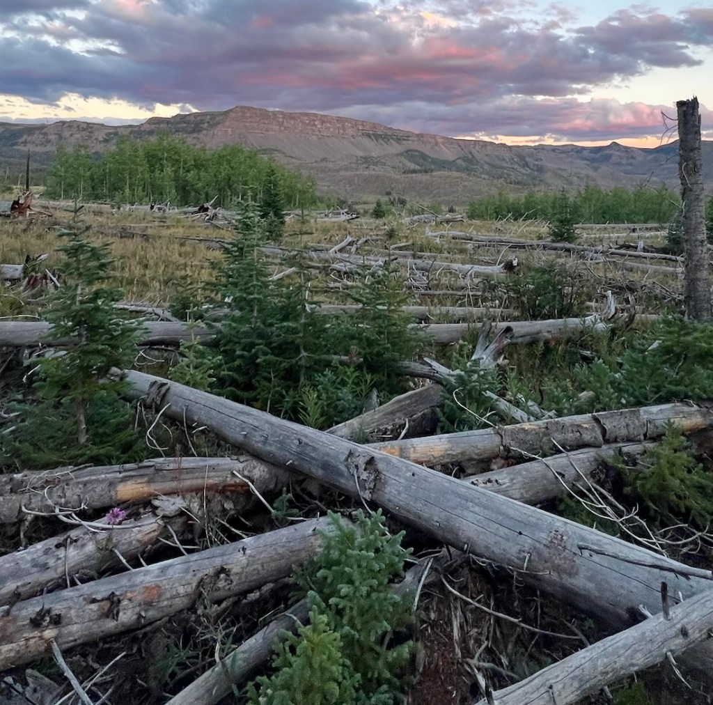
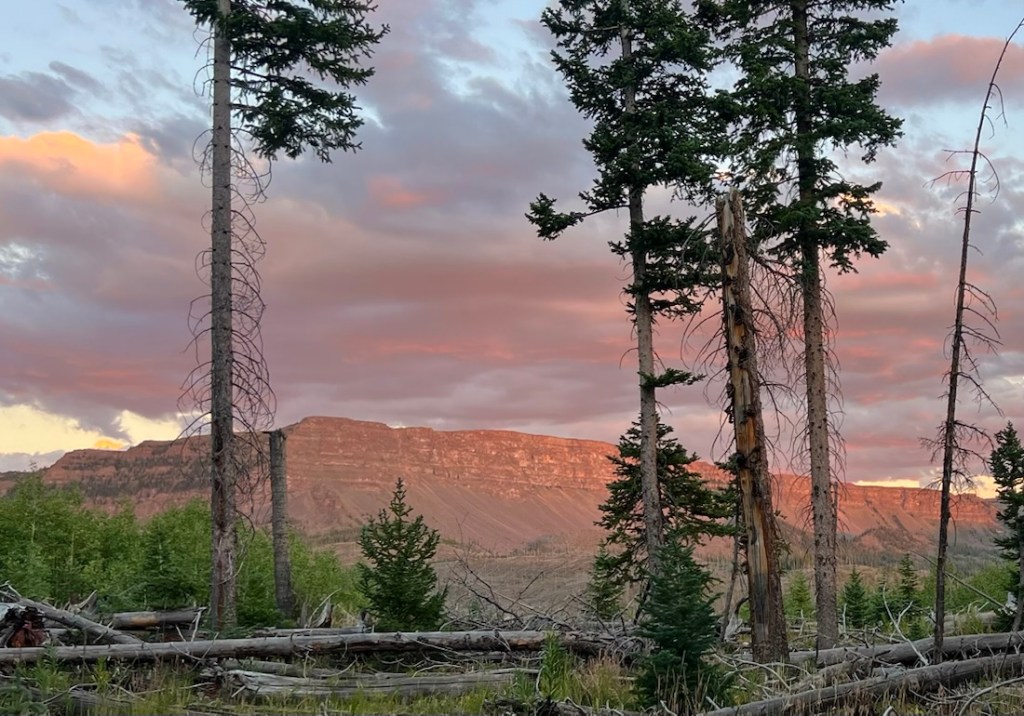
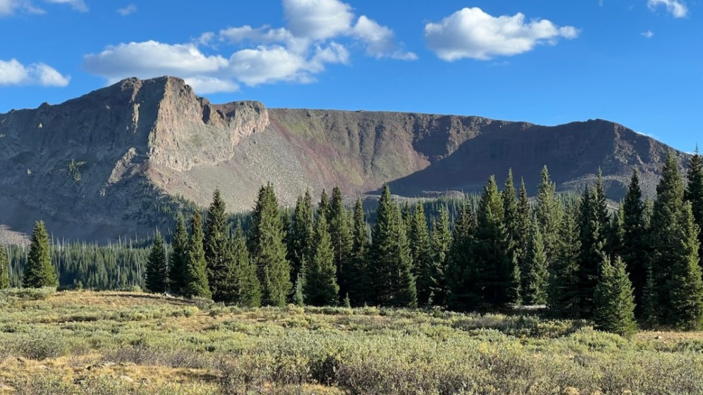
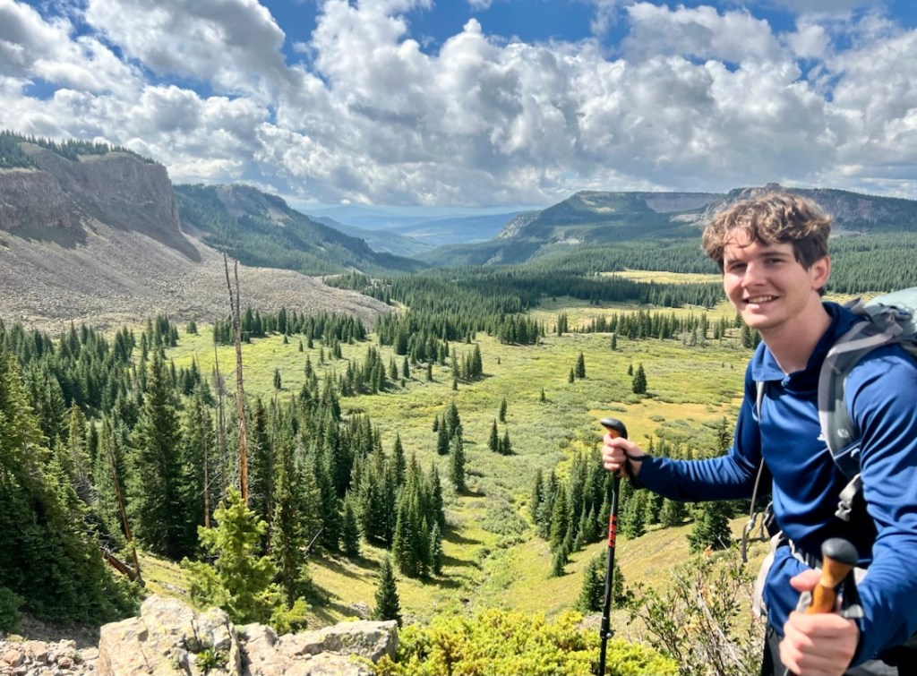
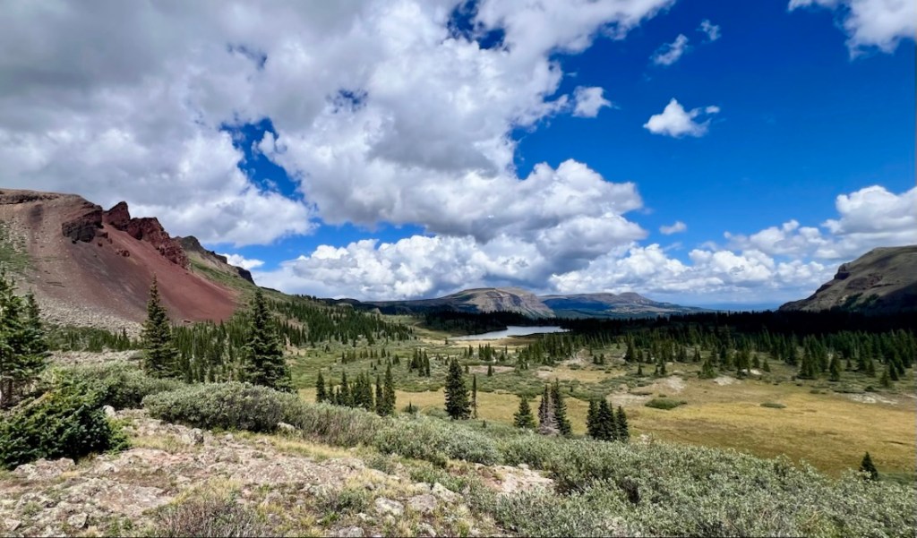
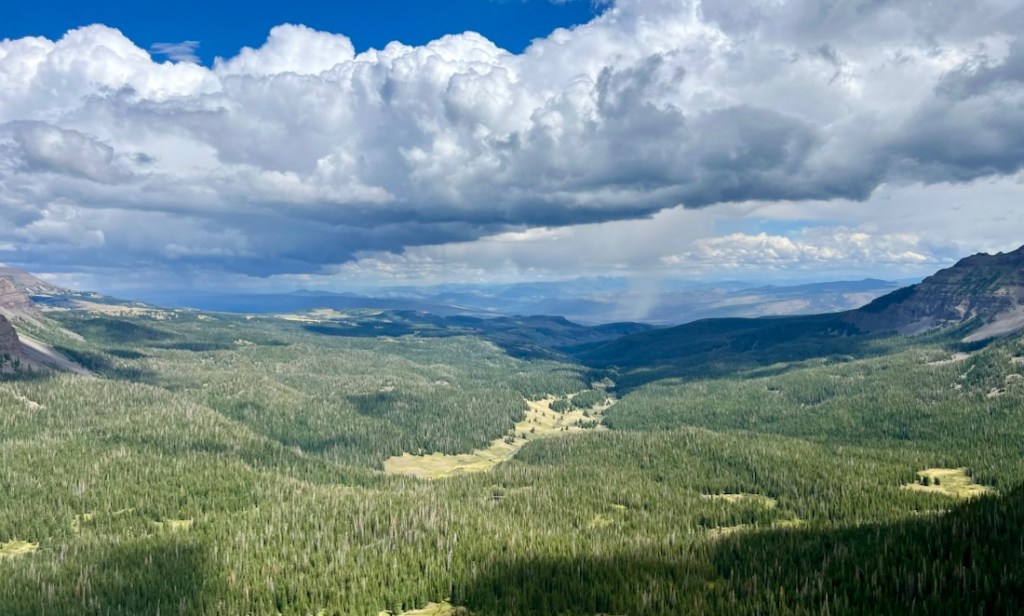
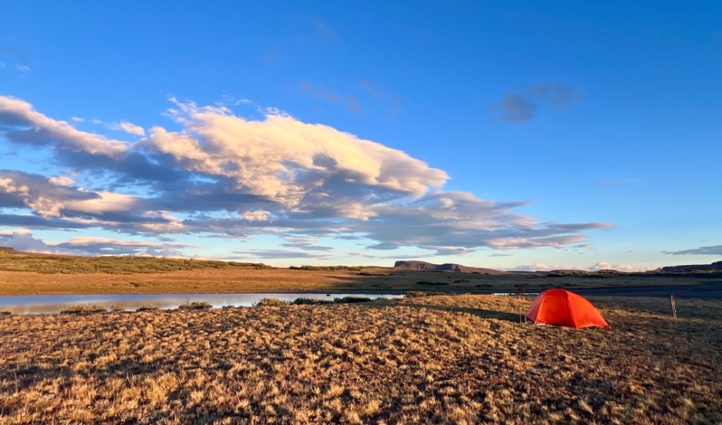
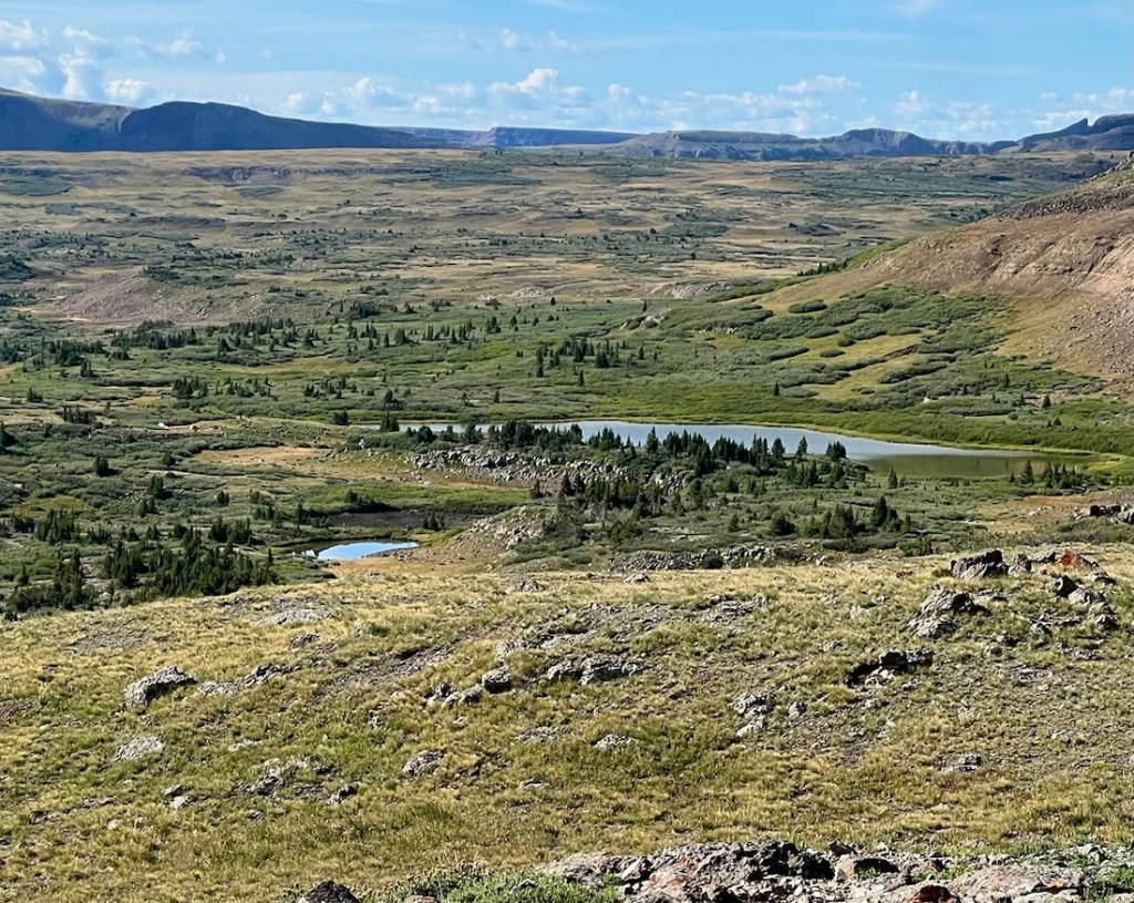
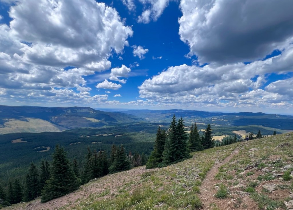
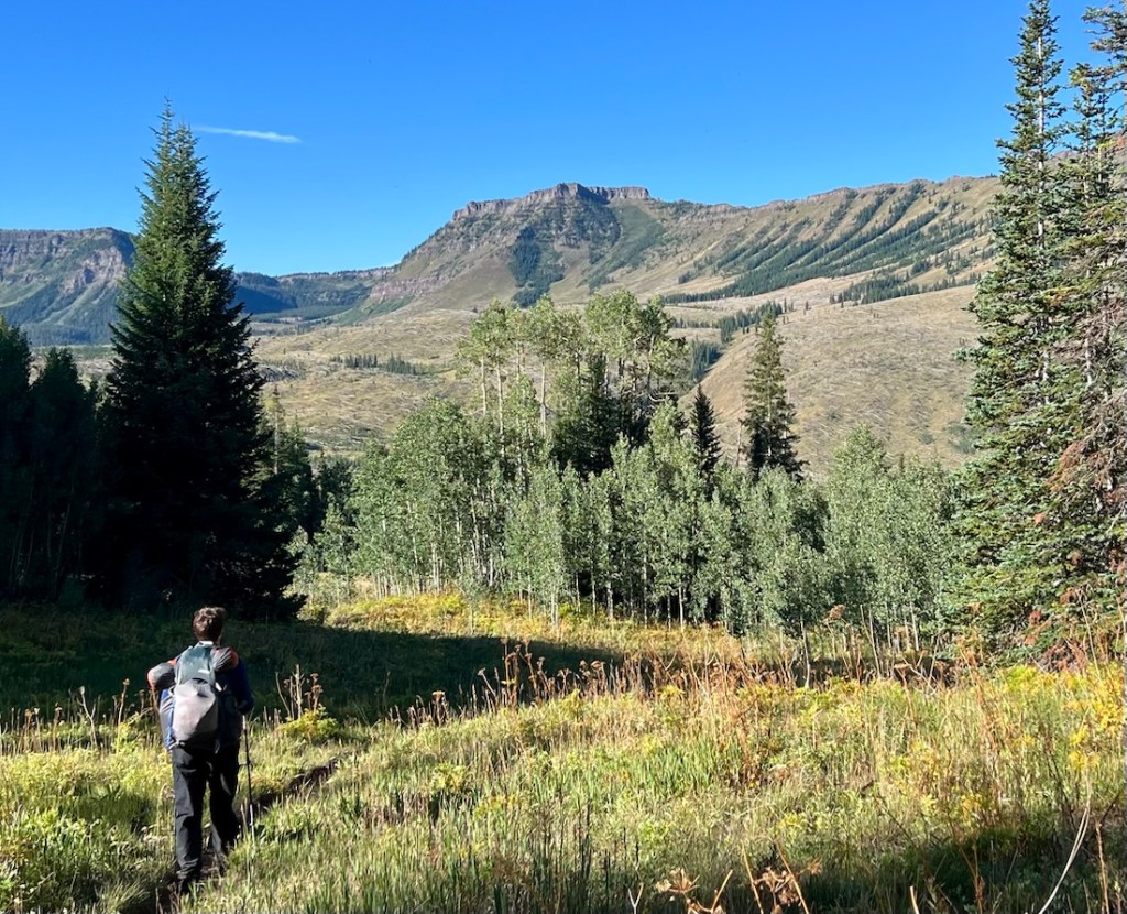
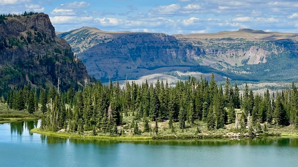
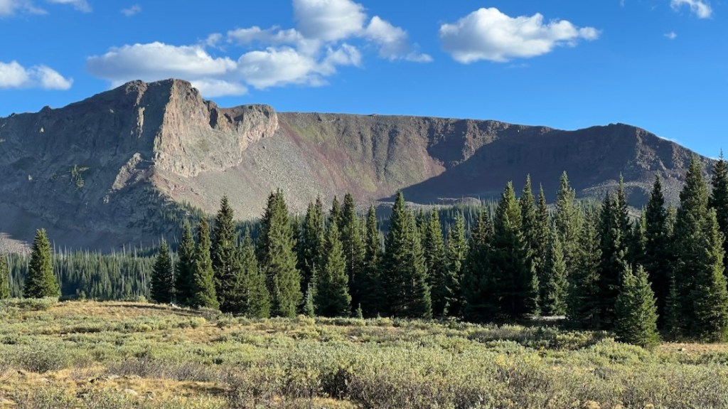
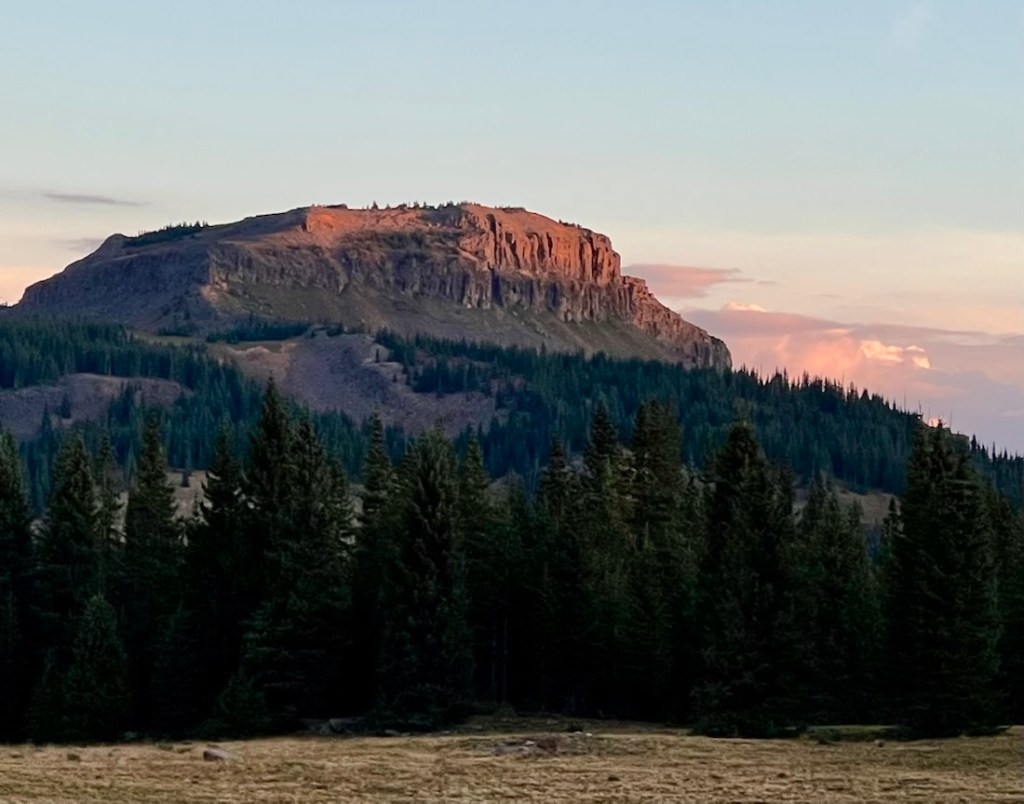
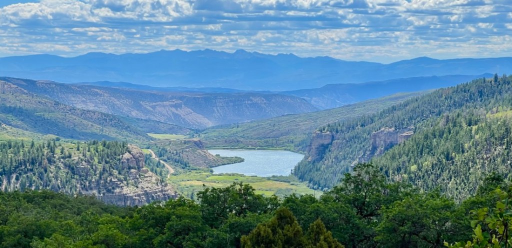
The weather was kind, enabling us to experience some fantastic vistas. We tried our best to capture them in the following photographs.
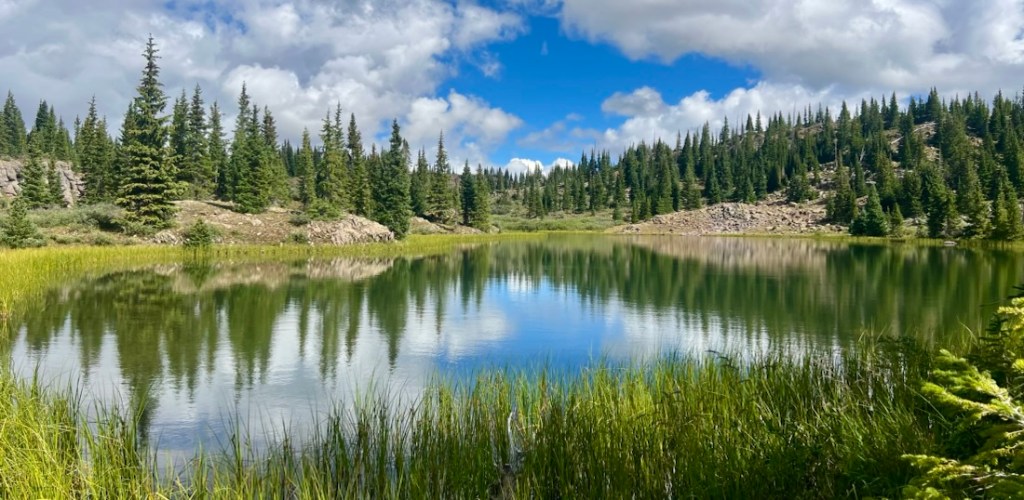
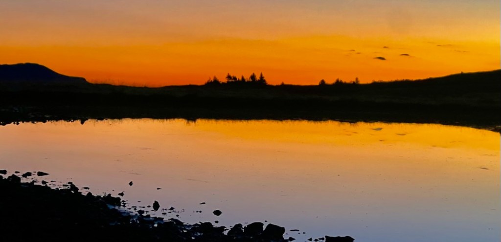
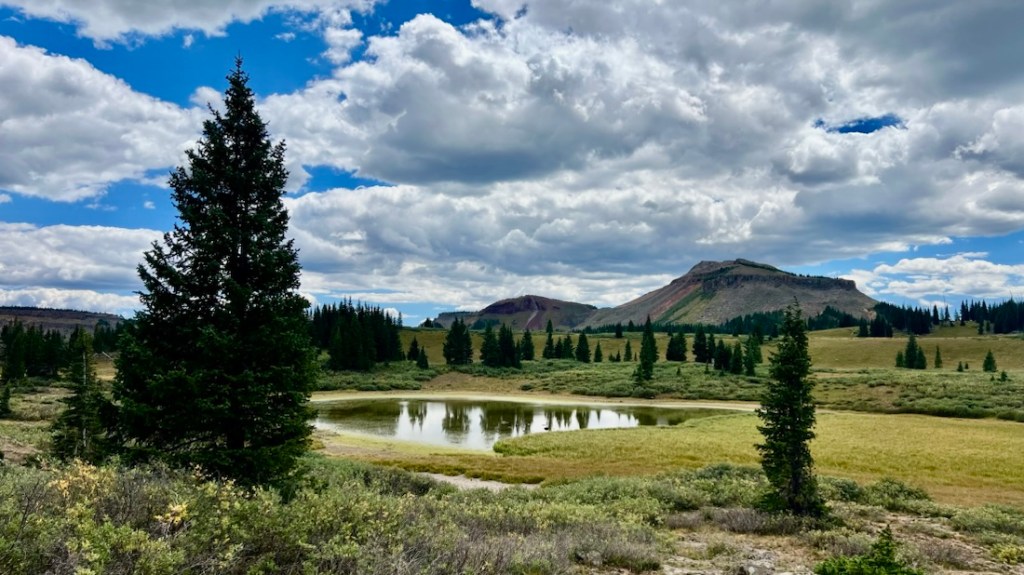
Highlight 2: Lake Reflections
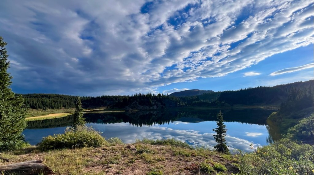
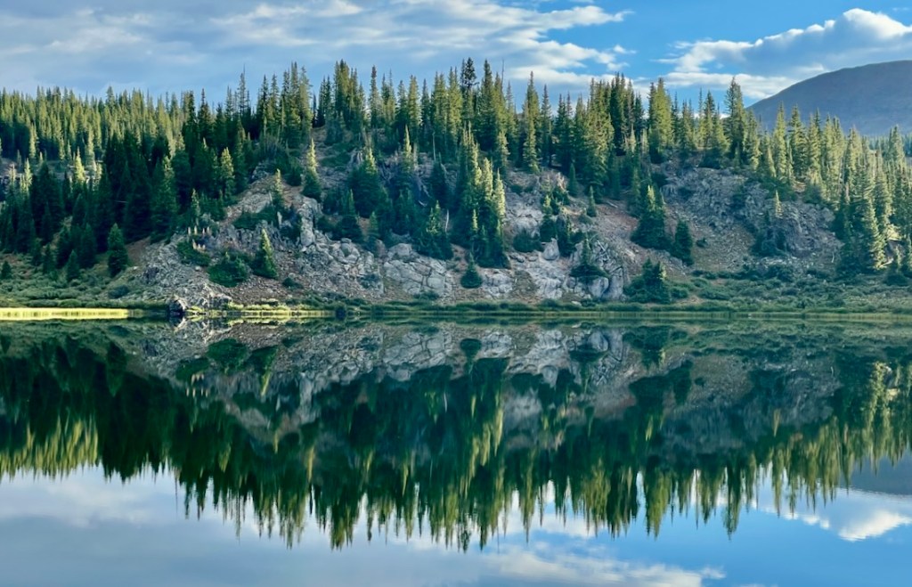
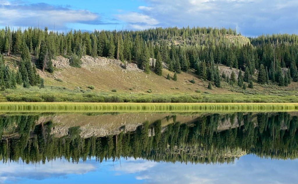
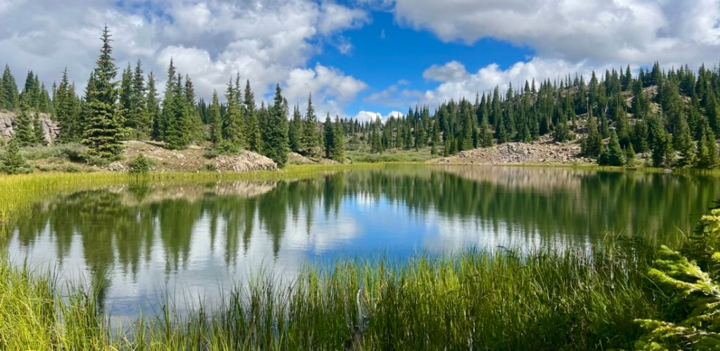
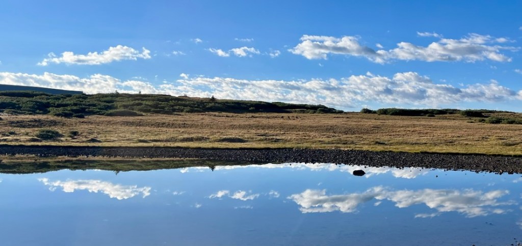
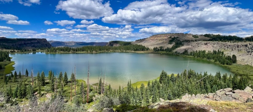
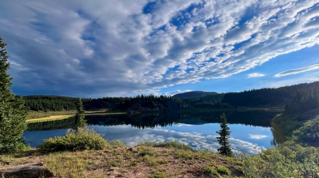
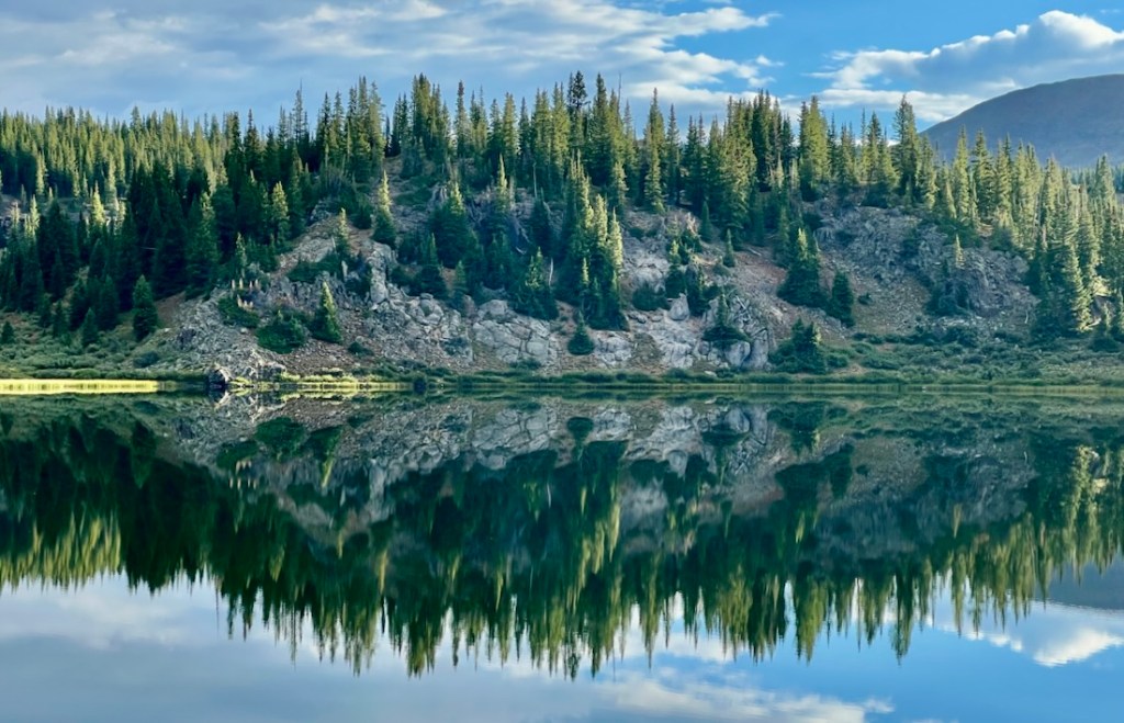
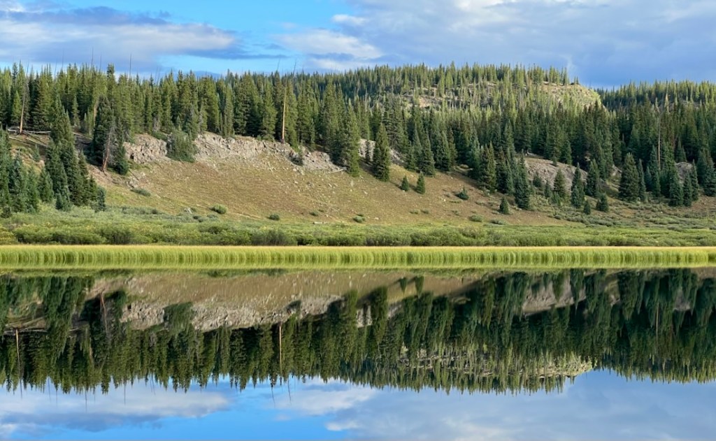
Calm conditions provided great reflections on the many lakes throughout the Flat Tops Wilderness.

Highlight 3: Animals and Plants
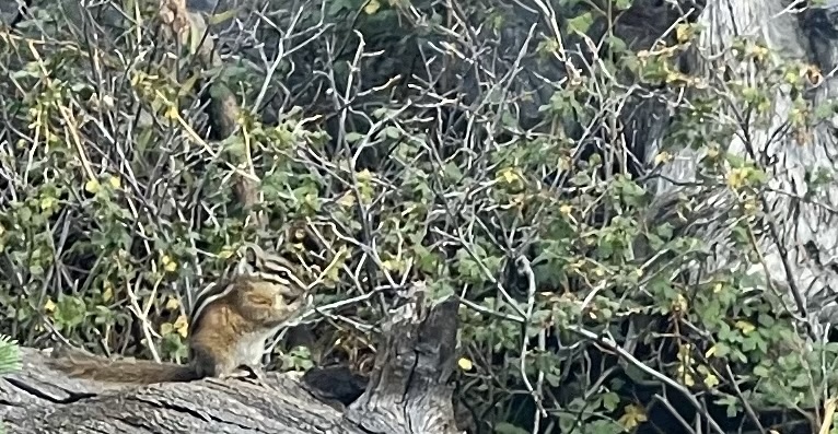
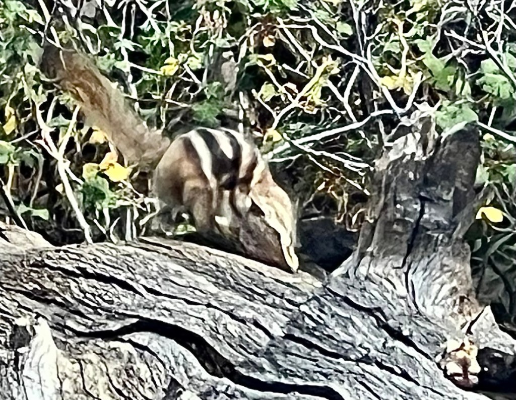
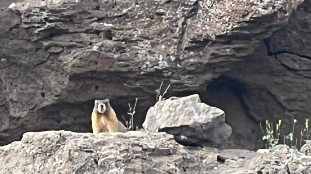
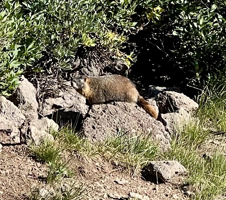
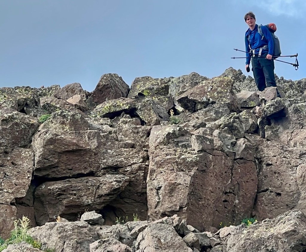
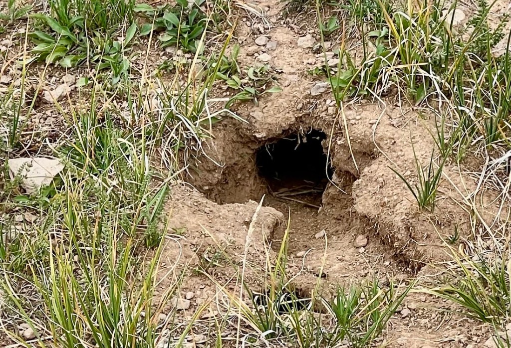
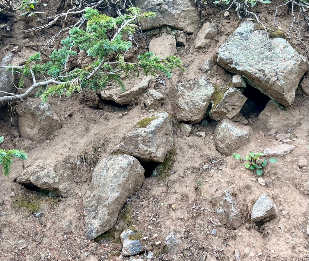
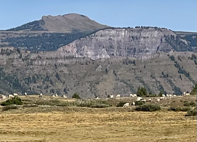
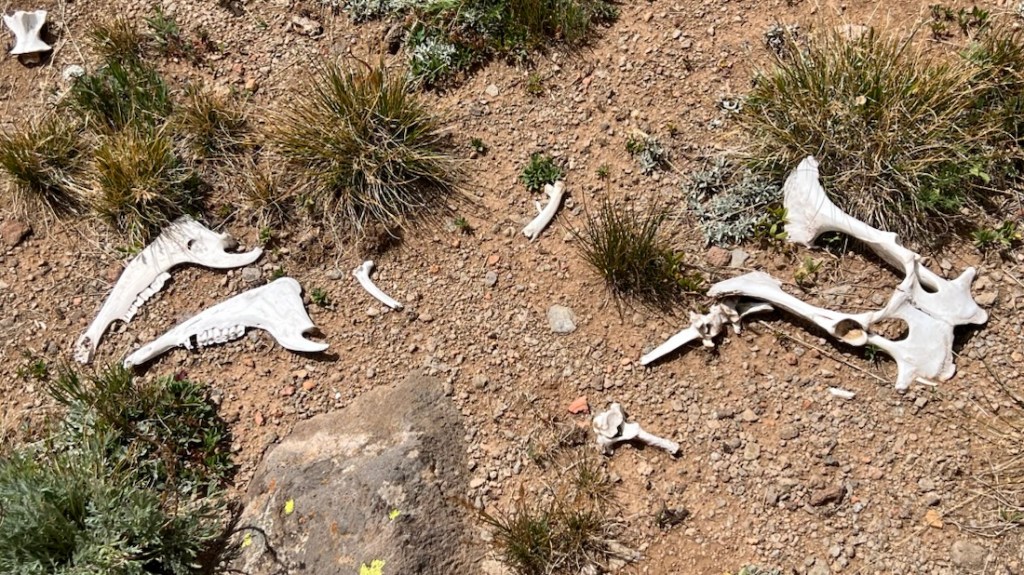
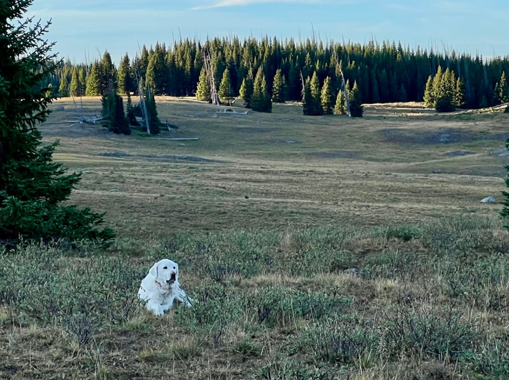
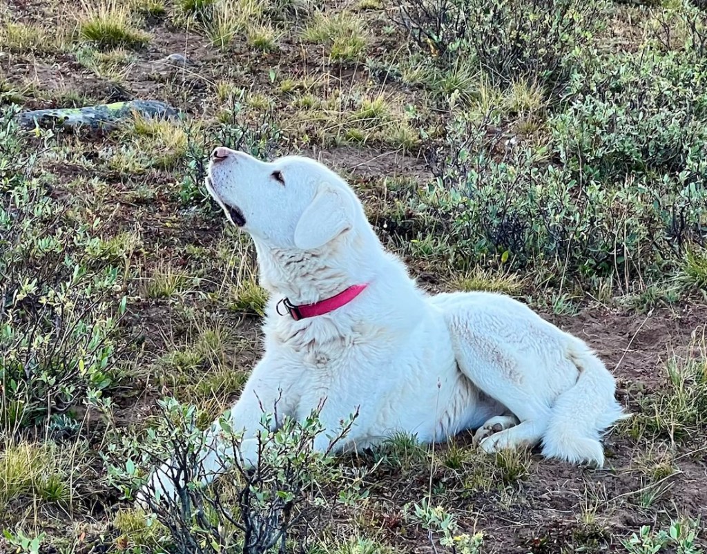
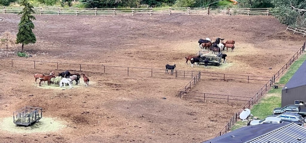
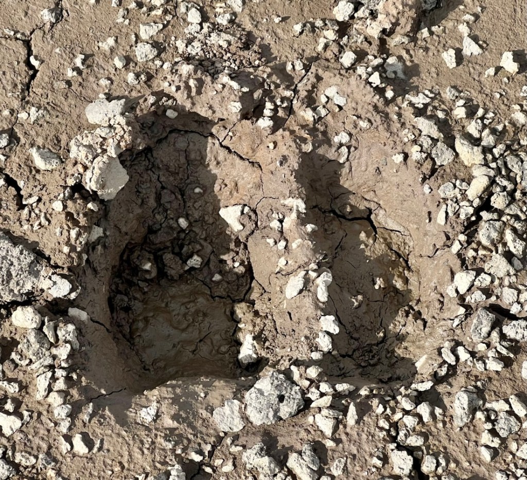
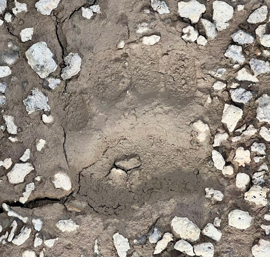
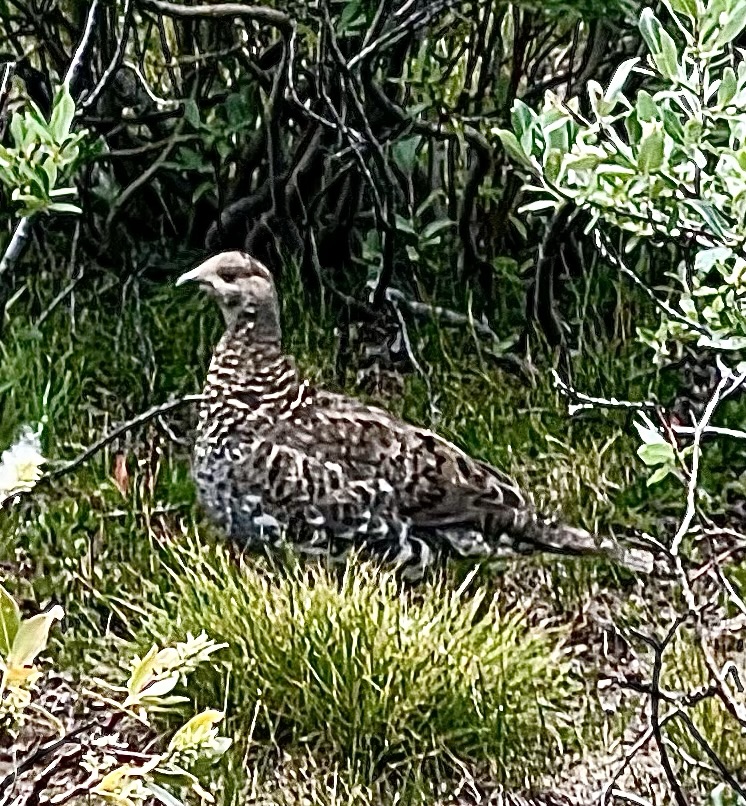
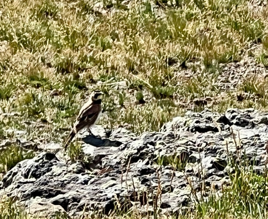
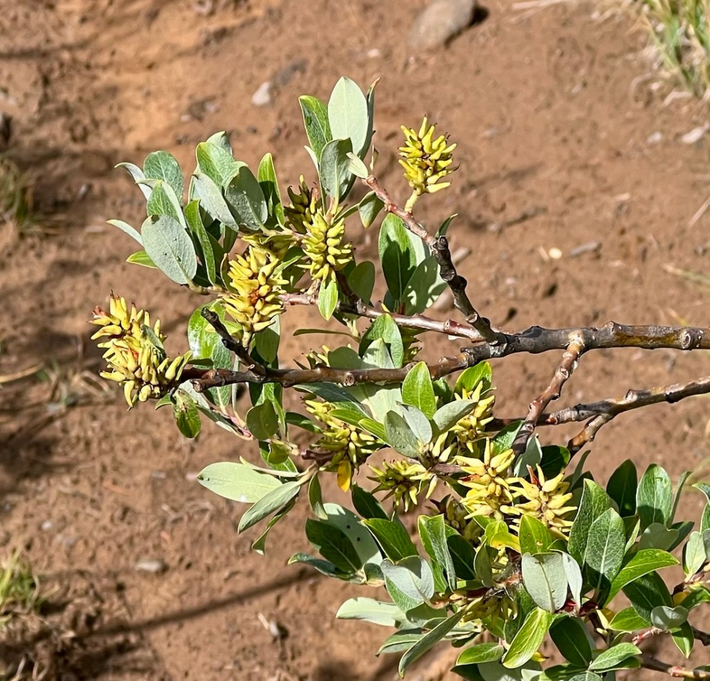
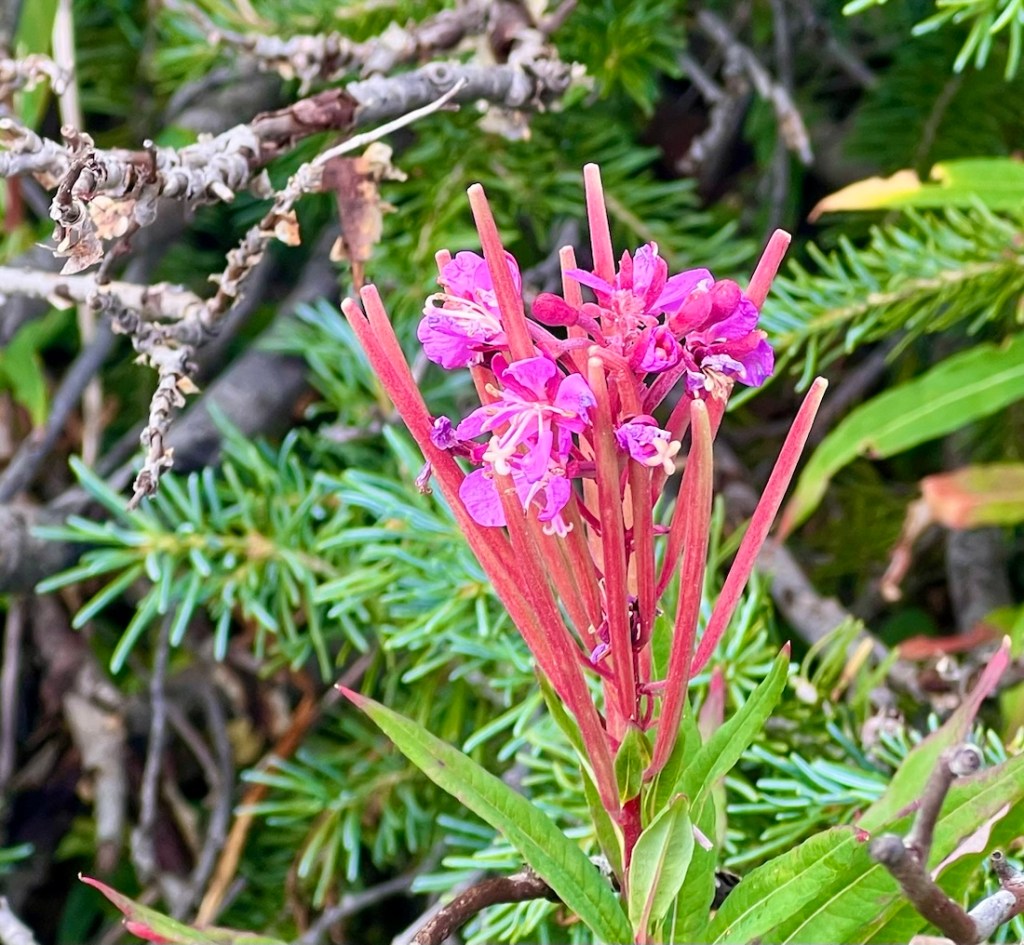
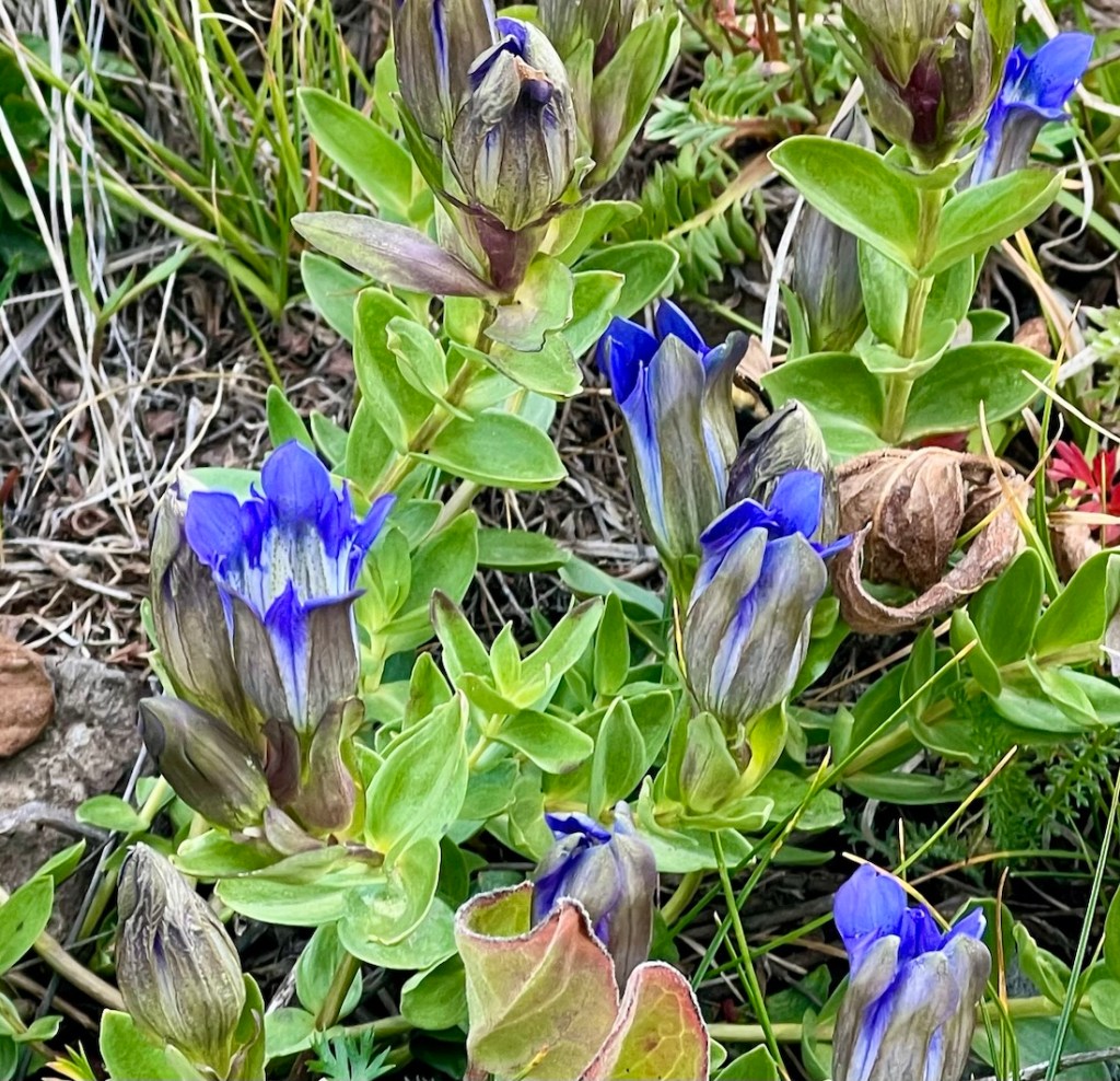
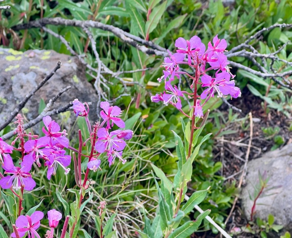
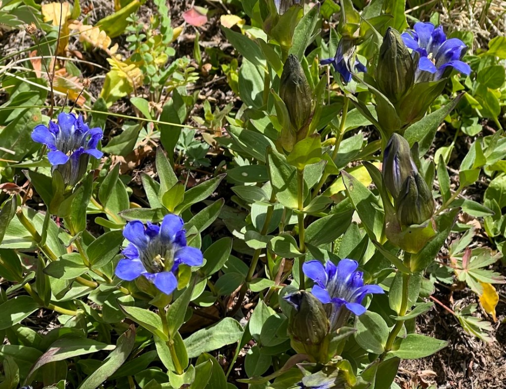
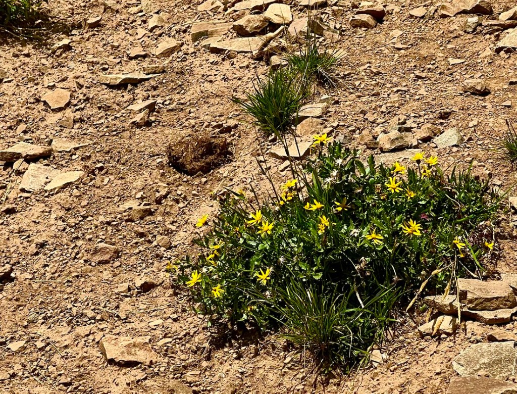
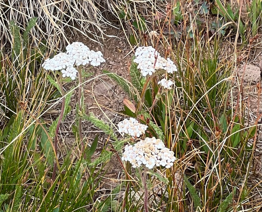
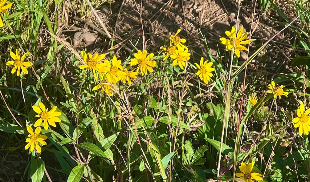
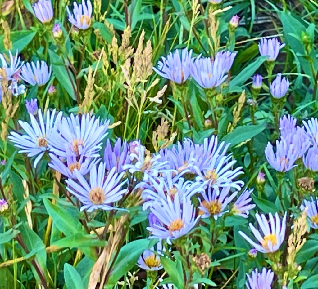
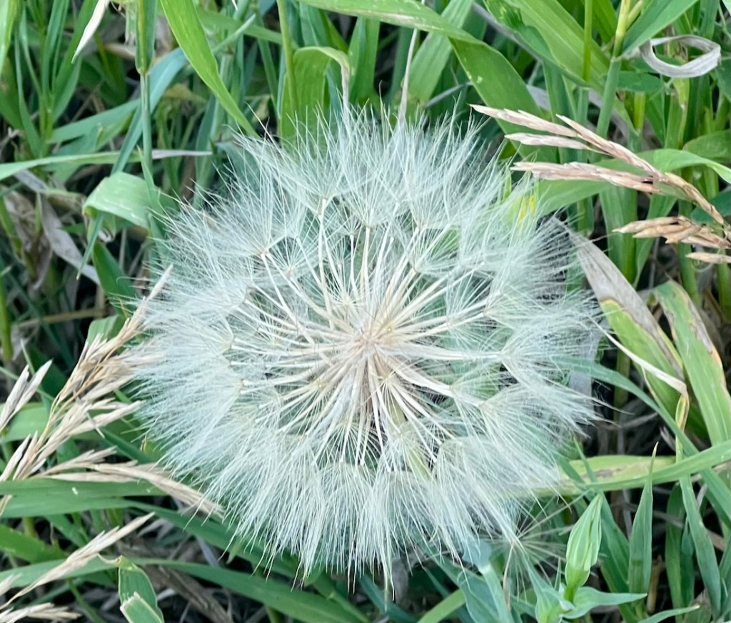
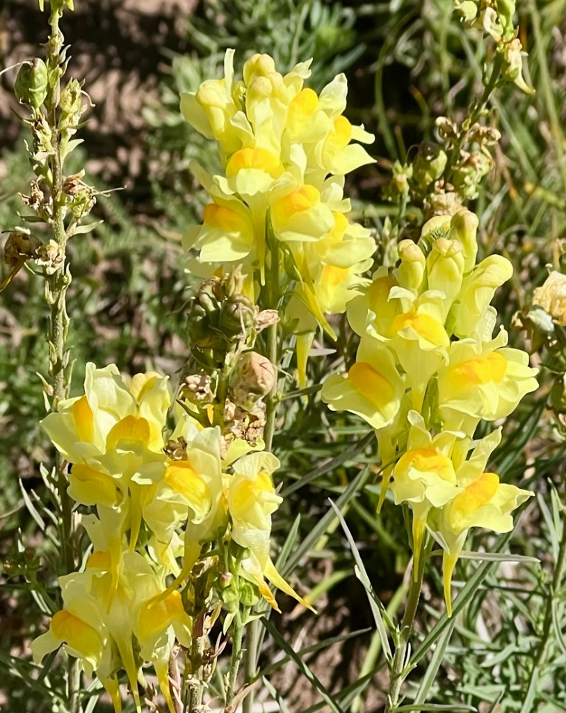
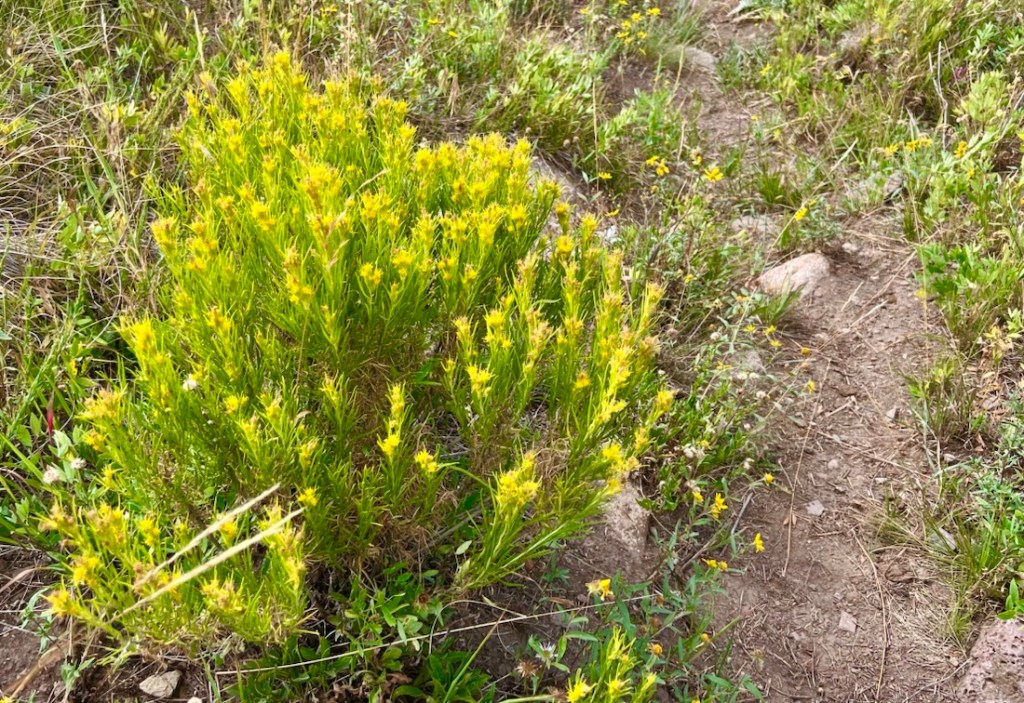
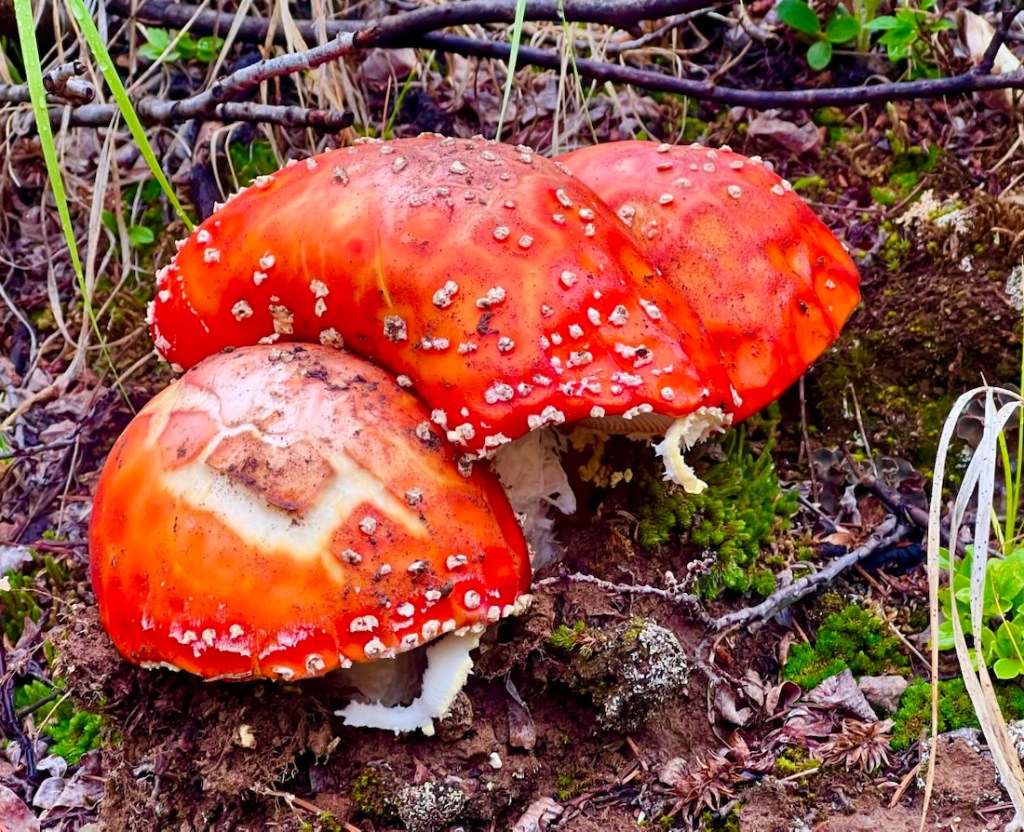
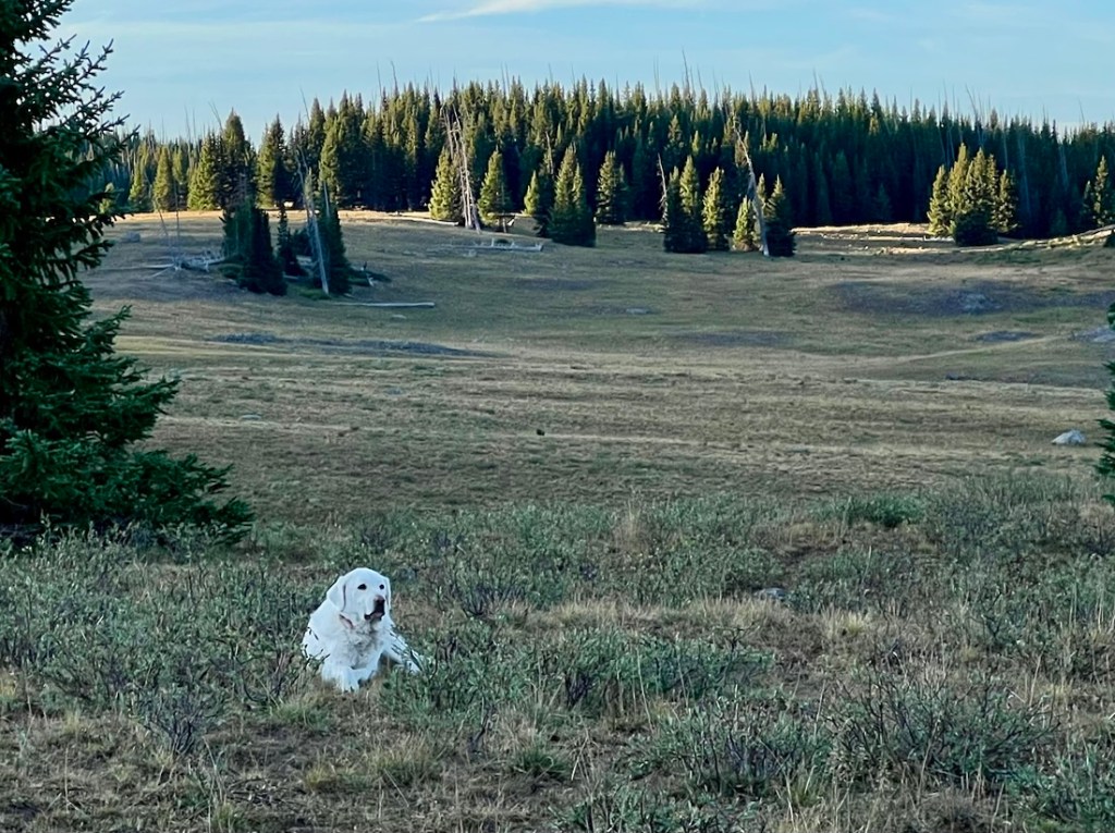
One disappointment was the lack of large wild animals. The Flat Tops had a large elk herd, but it was hiding in a valley. Bears have migrated downhill due to lack of food. We saw one deer. But we enjoyed the small animals, domesticated animals, and evidence of bigger ones! There were plentiful wildflowers. I was longing for my big camera and lens, while thankful that I wasn’t carrying the extra ten pounds!
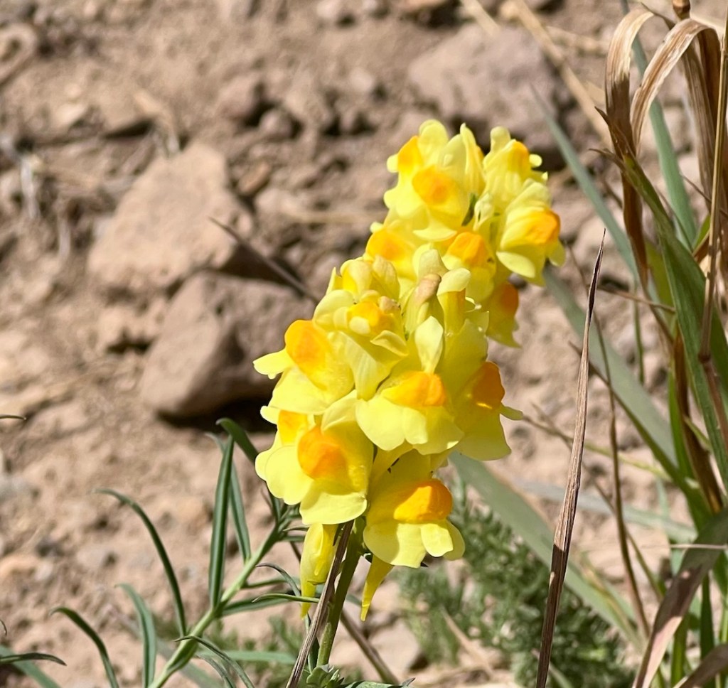
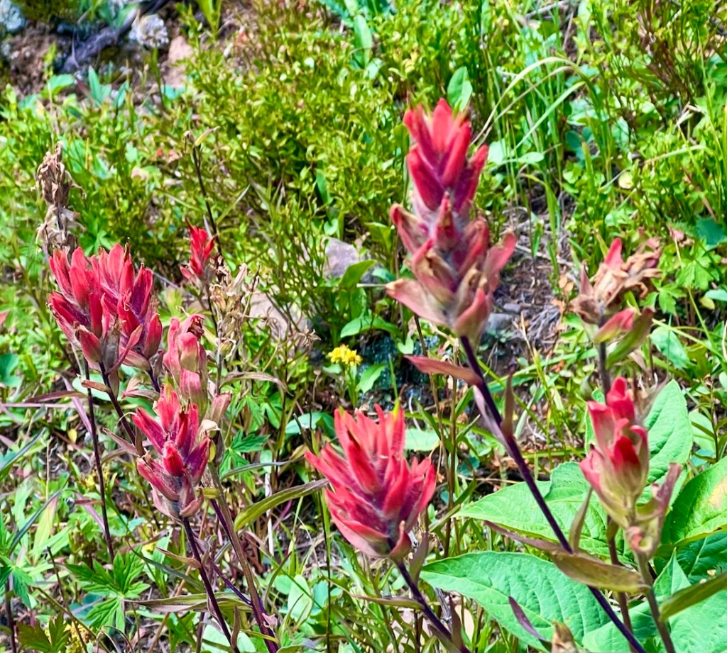
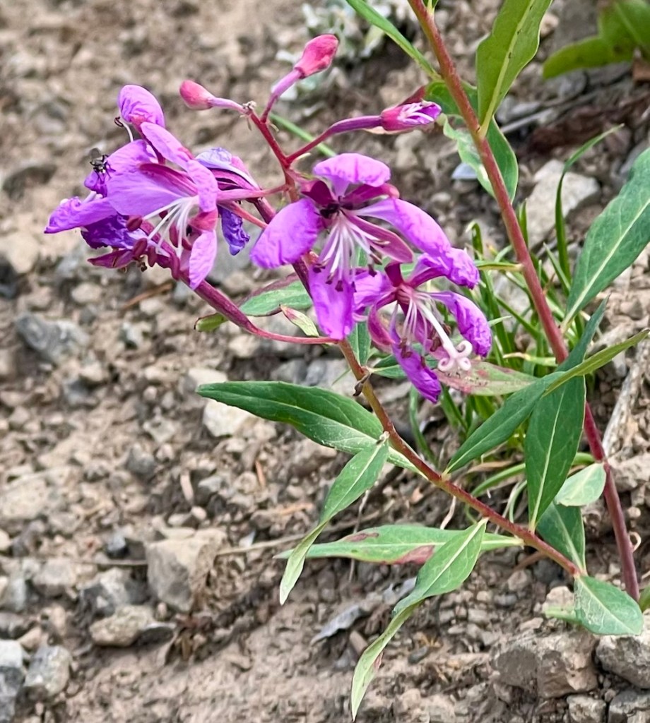
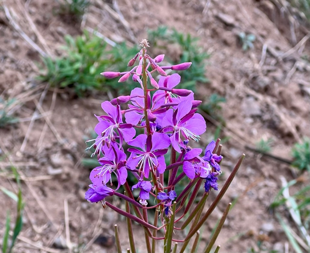
Highlight 4: Solitude
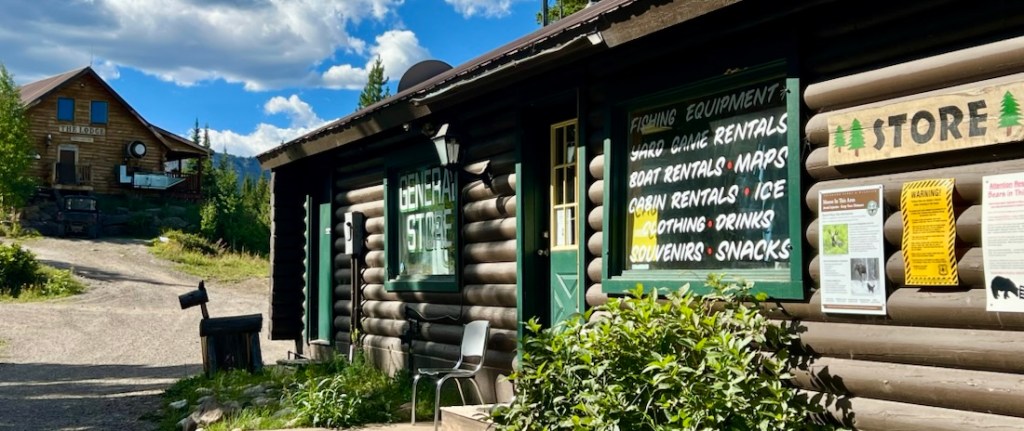
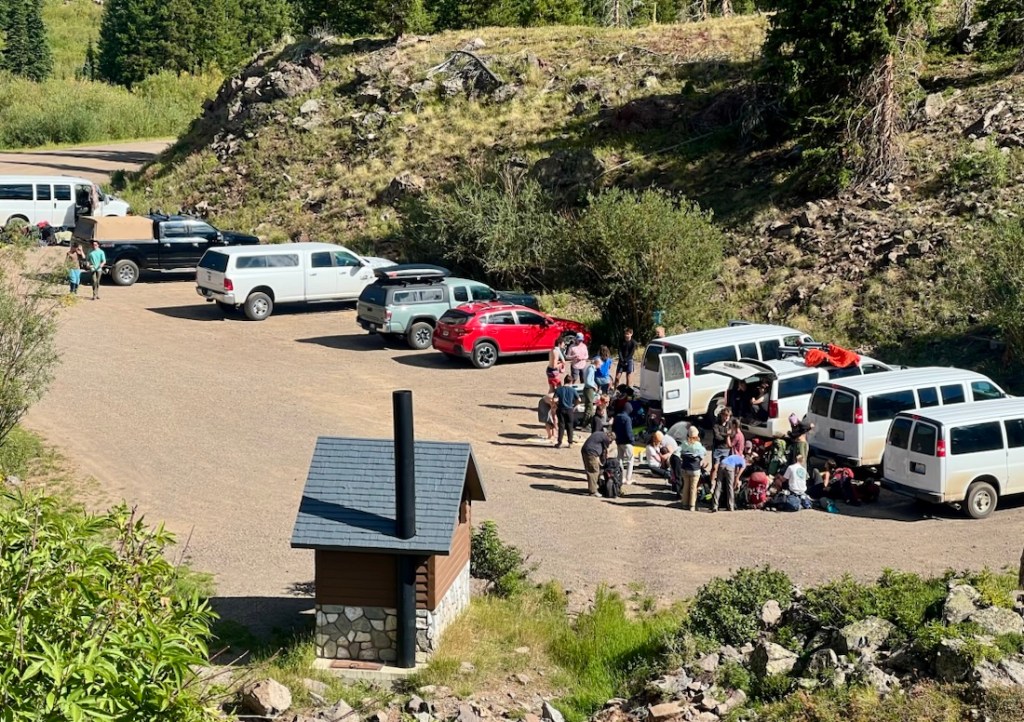
We successfully avoided crowds, but that’s difficult to capture in a photo! On Day 1, we saw one other human with her horse. On Day 2, we met two women with two dogs, a man with a dog, and walked close to a group of 15. On Day 3, we met a couple of couples near the Devil’s Causeway. On Day 5, we met no one. Day 4 was the exception near Trappers Lake. After enjoying an ice cream at the lodge’s store, we walked through a group of forty students from Colorado University. We decided we like solitude!
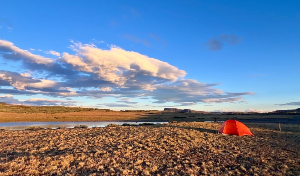
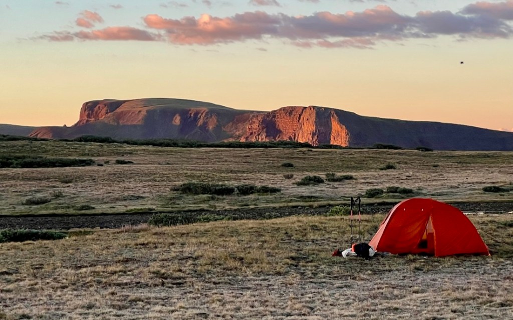
Highlight 5: Campsite Variety
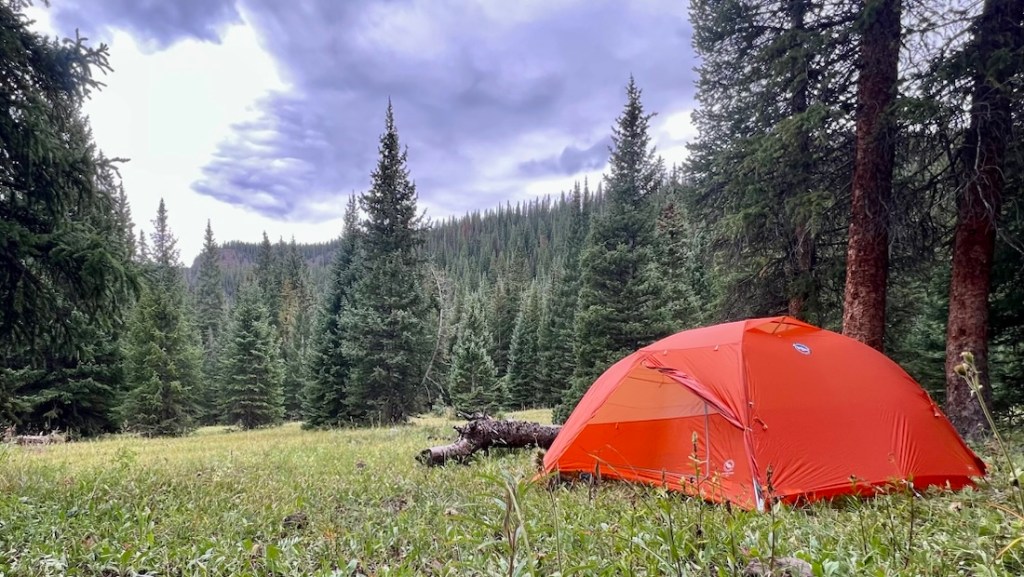
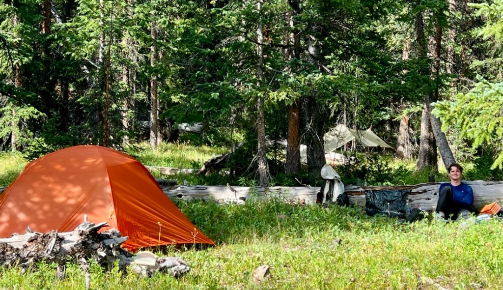
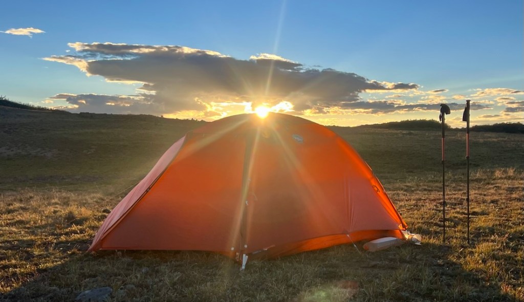
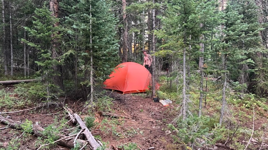
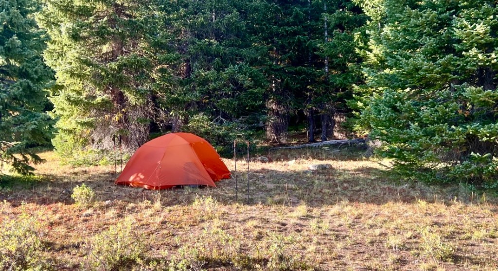
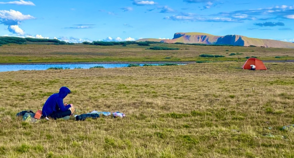
Each of the four nights was a different experience of wild, remote camping.
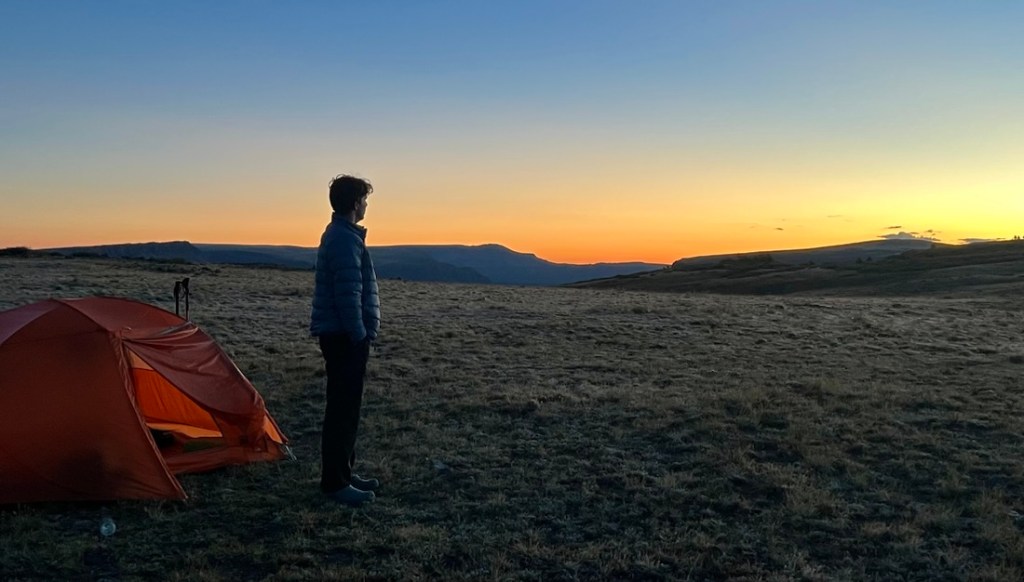
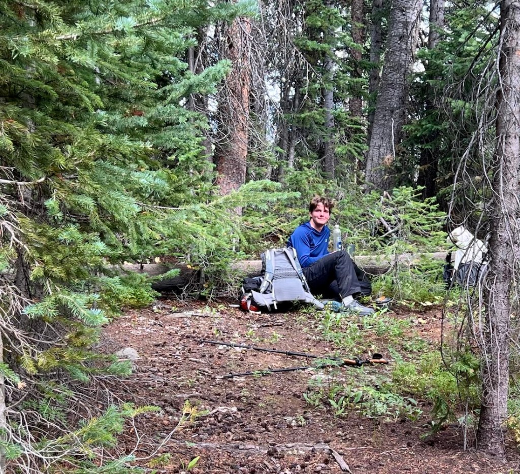
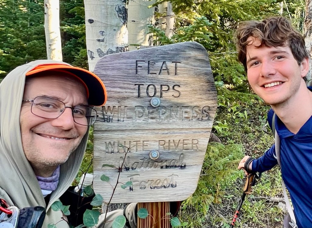
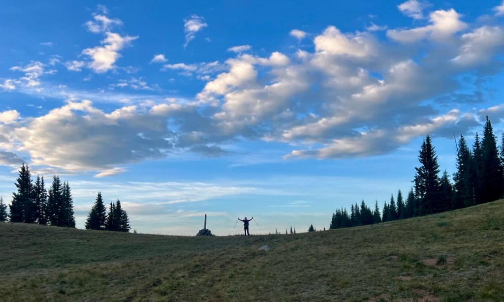
Highlight 6: Selfies
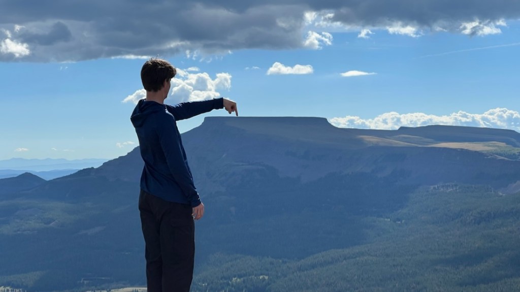
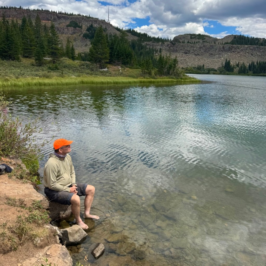
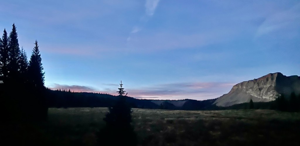
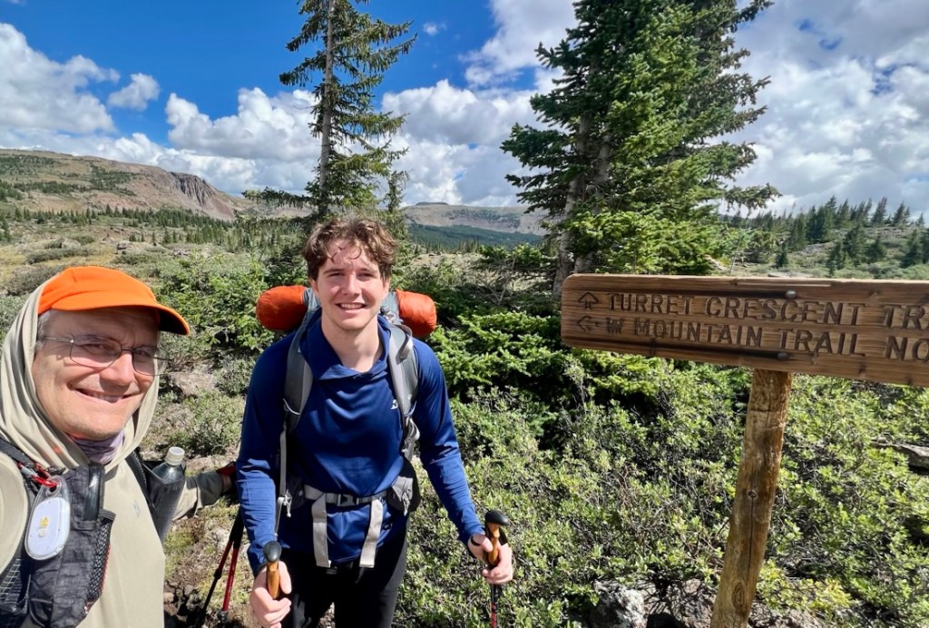
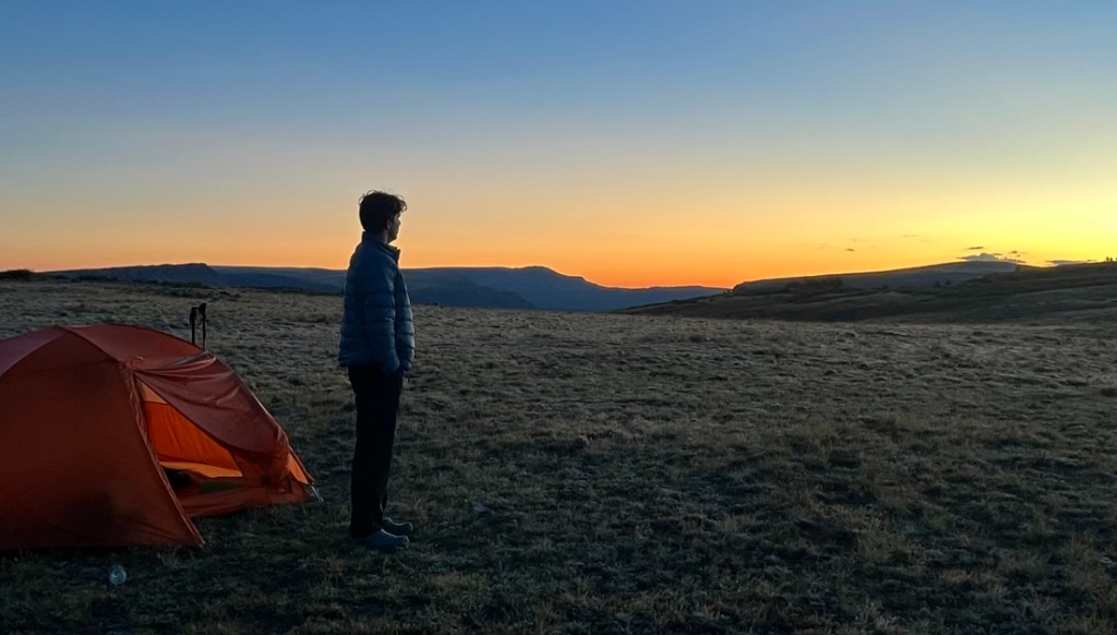
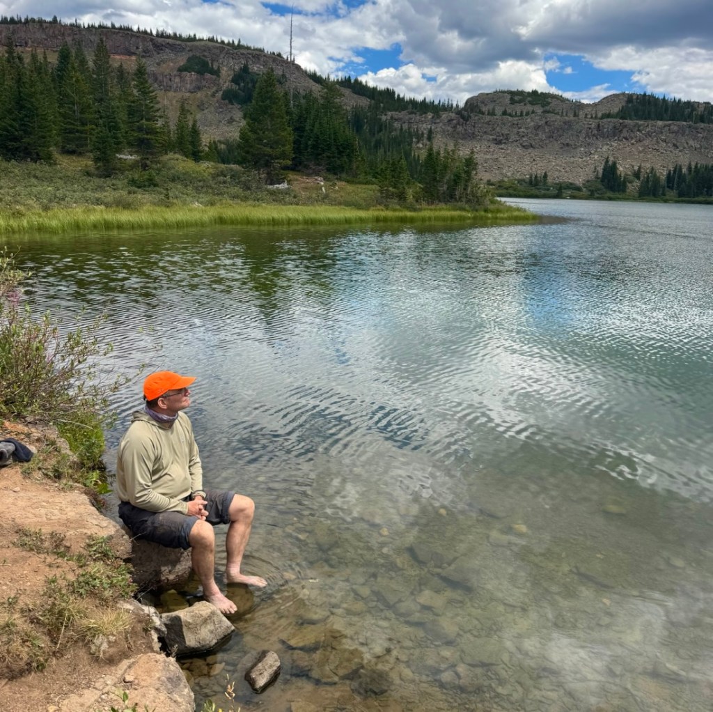
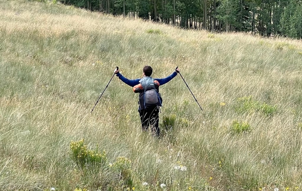
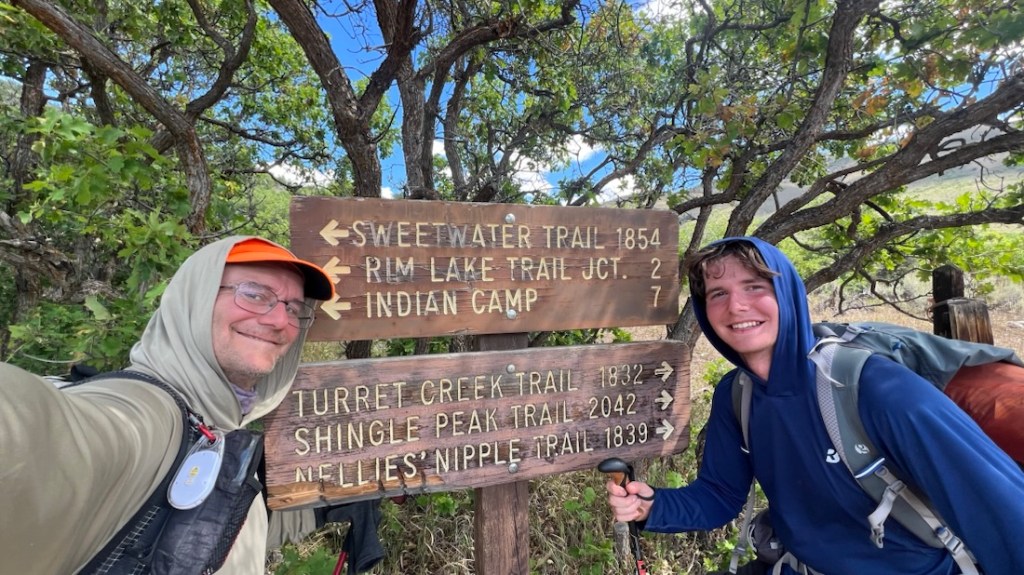
I enjoy these because we look happy as we pass milestones on the walk. Or just because I like silhouettes!
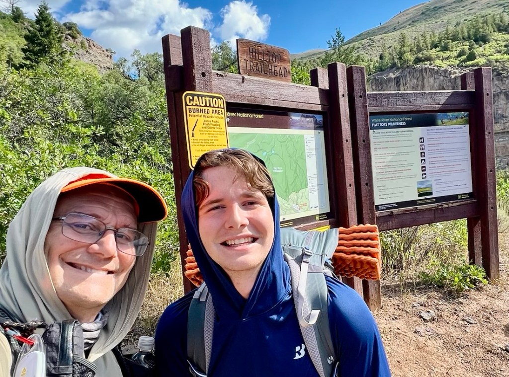
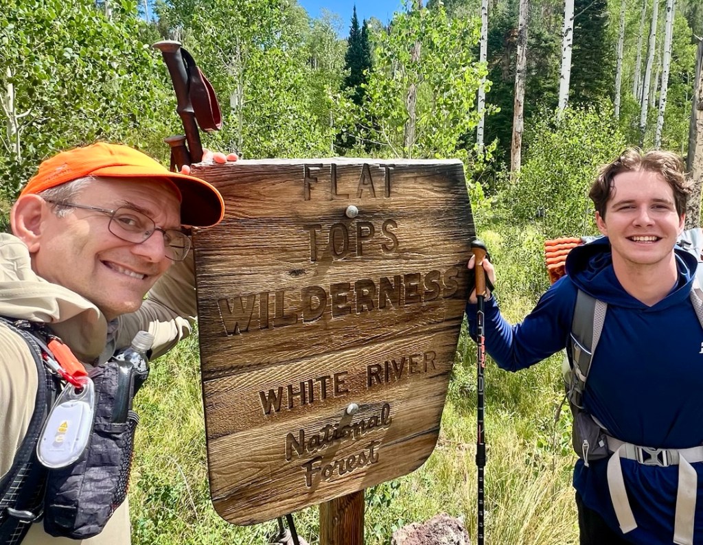
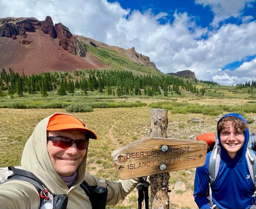
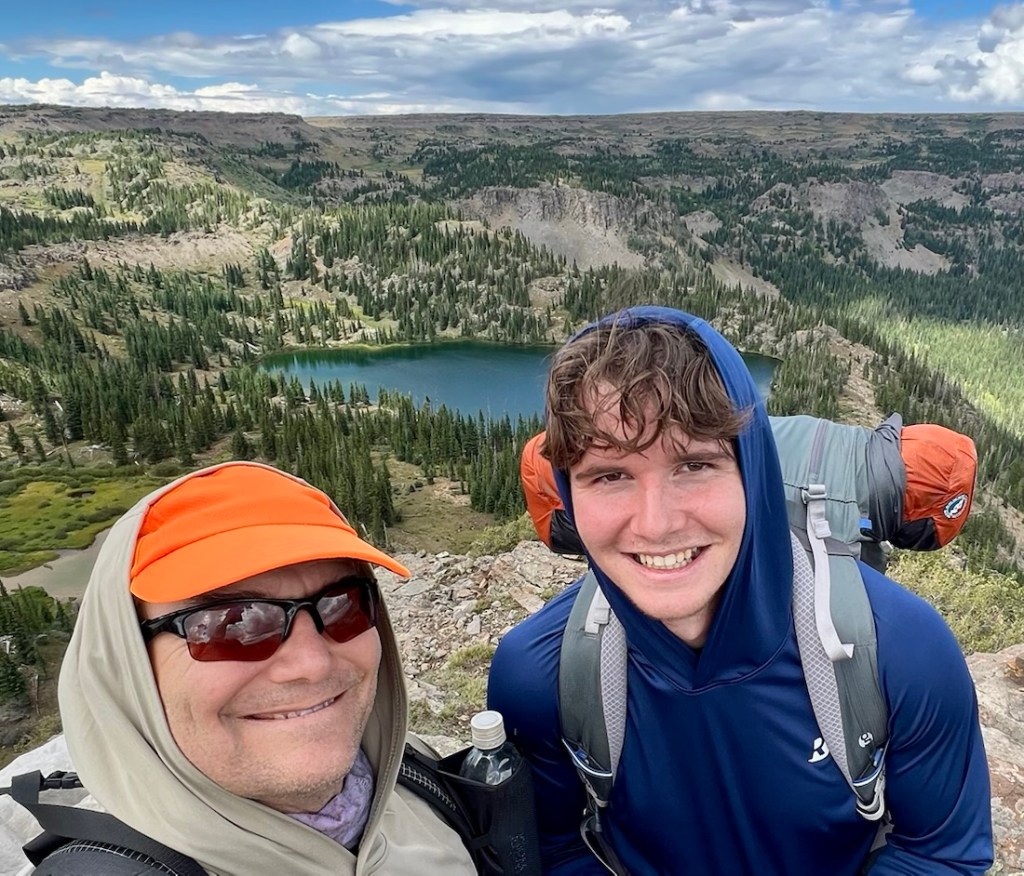
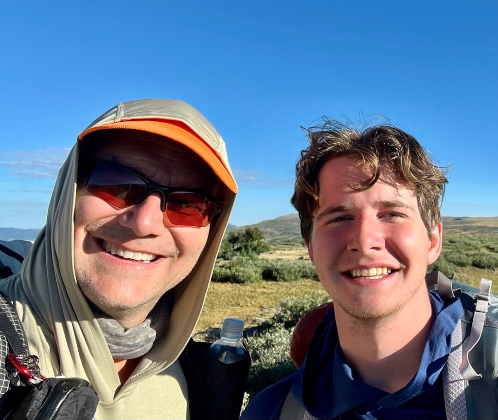
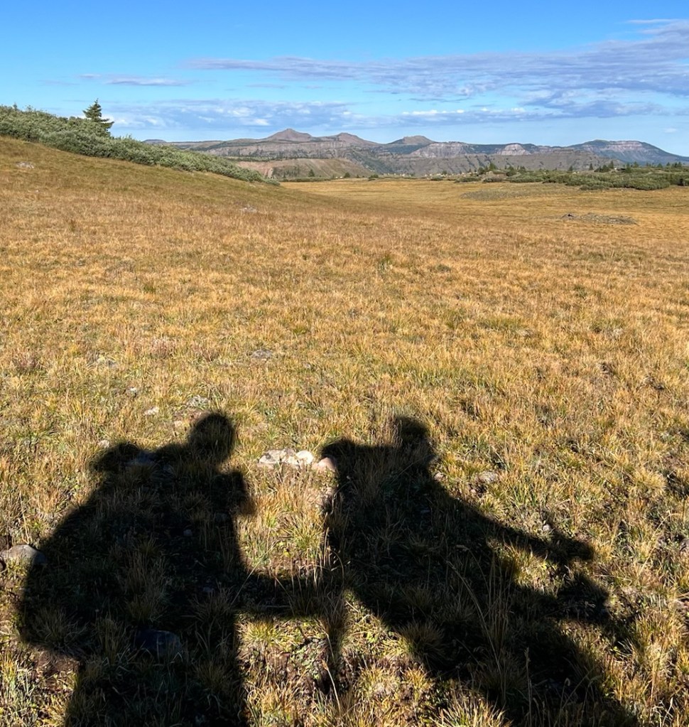
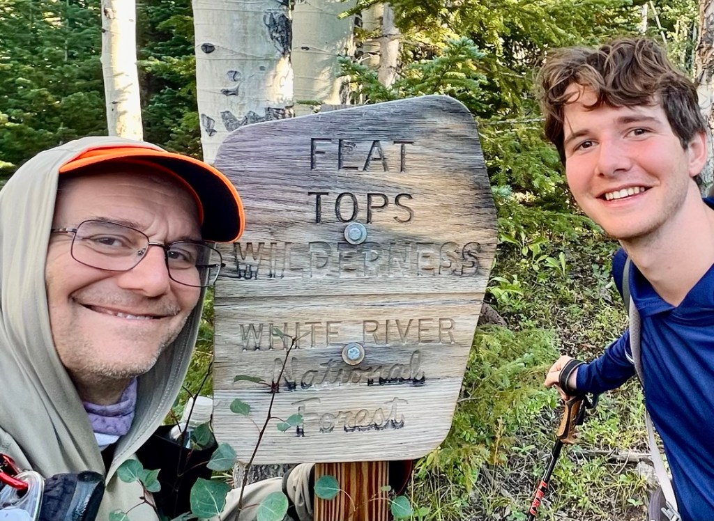
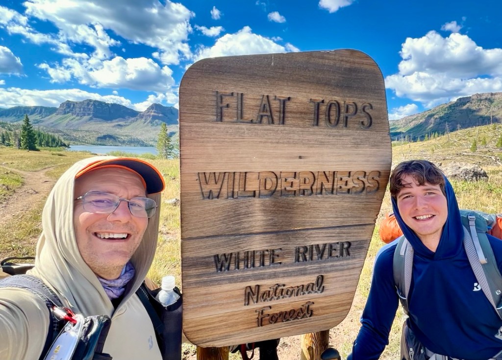
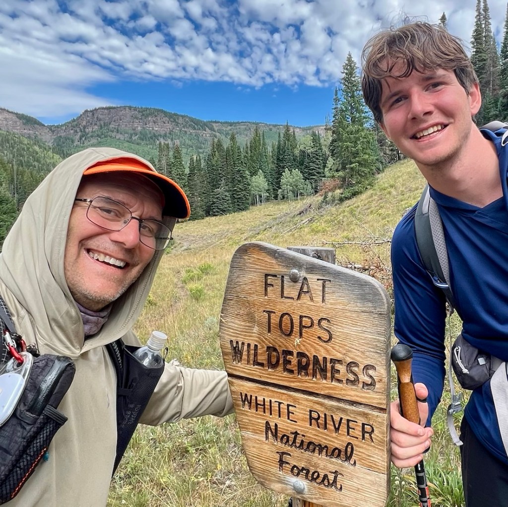
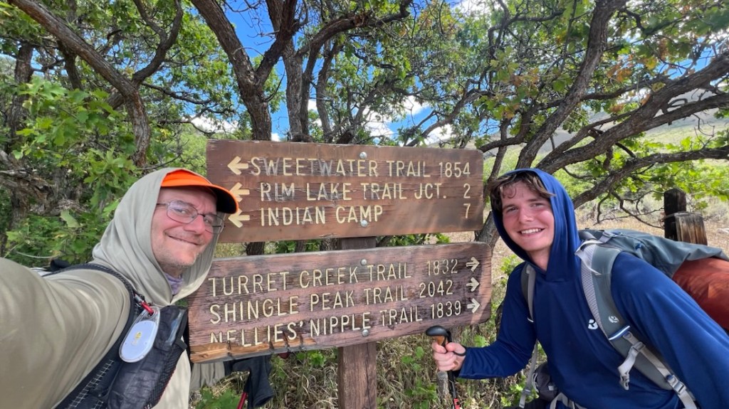
The overall highlight for me was spending five days with Samuel. I am blessed that we work so well together when backpacking. Also, I rather like having a young, fit sherpa who can carry all the food, cooking gear, and tent!
Details
As I could find sparse details about hiking in the Flat Tops before the trip, I’m sharing lots of details. This is far from being a “guide,” yet I hope that by sharing my knowledge, I might help others have a fine experience.
| Day | Miles | Hiking Time | Ascent | Descent |
|---|---|---|---|---|
| 14 Aug ’26 | 9.0 | 4hr 59mins | 2864ft | 348ft |
| 15 Aug ’26 | 11.8 | 7hrs 5mins | 2986ft | 1650ft |
| 16 Aug ’26 | 16.0 | 7hrs 13mins | 1759ft | 3186ft |
| 17 Aug ’26 | 13.1 | 6hrs 1min | 2392ft | 1857ft |
| 18 Aug ’26 | 13.8 | 5hrs 13mins | 804ft | 4022ft |
Note that my watch GPS typically inflates distances by about 10% compared to maps due to GPS “bounce”.
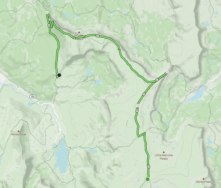
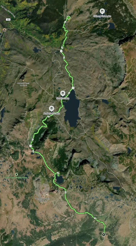
Here are links to AllTrails maps of the original 6-day plan, Day 1 Actual, Day 2 Actual, Day 3 Actual, Day 4 Actual, and Day 5 Actual. Here is a link to a Google Map of the actual route. This is a Google Photo album with about 250 photos, presented chronologically, and with each photo having embedded location information.
Planning
Less than two months before the hike, I asked ChatGPT where Samuel and I might enjoy a five day trek, driving from Denver. I told it to read my blogs at cajunlimeys.com to learn about my preferences, and it noted my previous experiences included “the Collegiate Loop, Elliott Ridge/Gore Range, Capital Creek Circuit, Eagle Rock Loop, Coast to Coast, Hadrian’s Wall, Picos de Europa, Big Bend OML, Trail Between the Lakes, and others.” The things it noted that stood out about my style included (1) You value wilderness over checking famous destinations off a list, (2) You enjoy route-finding and quieter trails, (3) Photography matters, (4) You don’t mind 8-15 mile days with significant climbing, and (5) You appreciate writing about places that other people haven’t covered extensively. I found all of these interestingly insightful, especially the last one!
Using this input, ChatGPT discouraged Maroon Bells Four Pass Loop, Chicago Basin, or the Wonderland Trail, due to crowds, and recommended a Flat Tops Wilderness traverse as its top choice, mentioning Trappers Lake, Devil’s Causeway, Chinese Wall, Island Lakes, and Stillwater Reservoir. So, I started planning!
I quickly saw that a 50-70 mile loop in the wilderness was viable, but the challenge was choosing a starting point. I found few other trip reports doing a similar itinerary. I considered Stillwater Reservoir first, but parking might have been an issue on a Friday, when we were starting, as it is the starting point for Devil’s Causeway hikes. I looked at starting at Trappers Lake, where parking was still a concern but less than Stillwater, but this was a five-hour drive from Golden. Marvin Trailhead, that Janet and I visited in July in our motorhome, was viable, but another long drive. I then found this blog from 2016 by Valerie Norton, who writes the Moments in Dirt and Ink blog, which encouraged me to plan the hike from Sweetwater Lake Trailhead, as it was the closest to I-70, less than 2.5 hours from Golden, and unlikely to have parking issues as it was not within a day’s hike of any of the highlights.
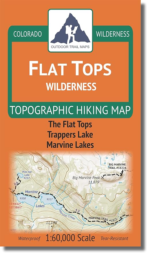
Even with Valerie Norton’s blog and my Flat Tops Wilderness topographic hiking map, I struggled to get my head around what was where because the large plateau lacks the typical landmarks that one hikes around. I plotted routes in AllTrails, and considered options that included summiting some of the peaks. However, Samuel had suggested a “chill” trip, just a few days after he summitted the 14er La Plata. I wanted to hit the “highlights” of Devil’s Causeway and Trappers Lake, and the shortest loop that included those was sixty miles in AllTrails. So that was our plan!
In summary, our plan included five nights in the Wilderness. The first two nights, we stopped about a mile before my plan, because we were tired and found appropriate campsites. On the third night, we hiked several miles further, primarily because my choice of campsite near the junction of Chinese Wall Trail and Lost Lakes Trail was poor and we were out of water. The plan for Day 4 had been a short 7 miles, with an option to start the day by summiting Trappers Peak from Wall Lake. However, we chose not to do the peak, and hike Day 4-6 over two days, finishing a day early with one less night. This was not because we were not having fun, but we tend to like shaving off a day!
Details of our packing and food are in this excel spreadsheet. I had bought a new Big Agnes Copper Spur UL3 tent, as Samuel is over six foot tall, and we appreciated the extra space a lot! The weather forecast was wet, so we brought heavier waterproofs and a tarp for eating under, but it ended up being dry. The forecast low temperature was 42, and we saw 29, so were happy we had thermals, puffies, beanies, and gloves, and we were not cold. Our food weighed 14 lbs with about 2500 calories per person per day.
We started the hike with packs weighing 24lbs (mine) and 31.2lbs (Samuel), including 2 liters of water each. After eating one day of food, we transferred the tent from me to Samuel.
Sweetwater Trailhead
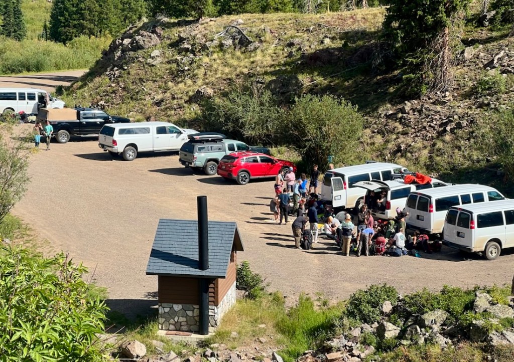
Our biggest mistake, which wasn’t that big, was where we parked, so I will explain. It just meant we had to road-walk an extra 1.5 miles at the beginning and end!
We lost cellphone signal as soon as we left I-70.
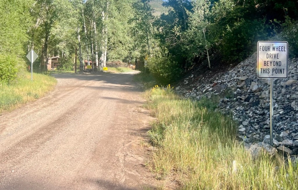
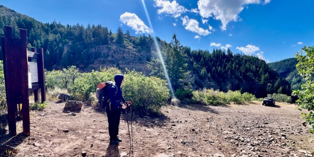
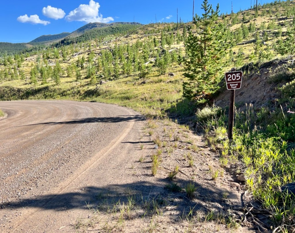
Research suggested that there was free public parking at Sweetwater Lake, but 4WD was required to get to the trailhead. We should have tried driving further as there is free, easily accessible, public parking about 1.5 miles past the Sweetwater Lake parking. This parking is shortly followed by a sign that says, “4WD Beyond This Point”. The road continues to be fine for about 1/4 mile, and then there is a final, steep 1/4 mile to the trailhead, where 4WD is likely required. On AllTrails and my hardcopy map, this is labelled “Hilltop Trailhead” When we began our hike, there was one other truck in the lower parking and a 4WD car at the trailhead parking.
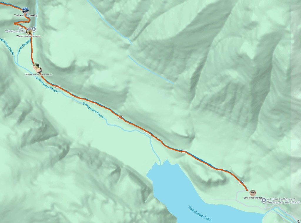
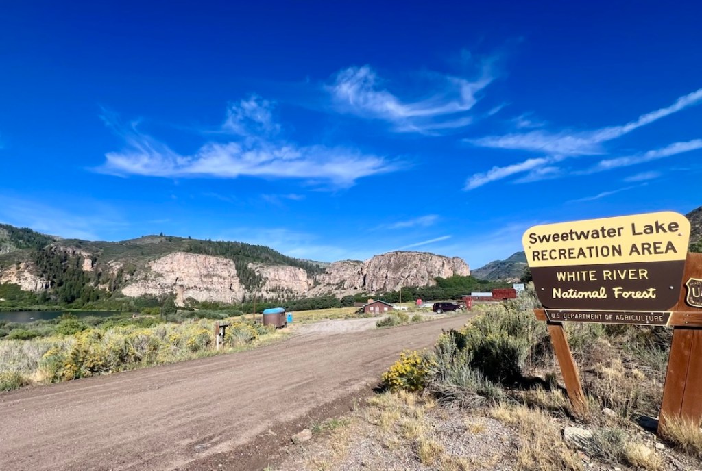
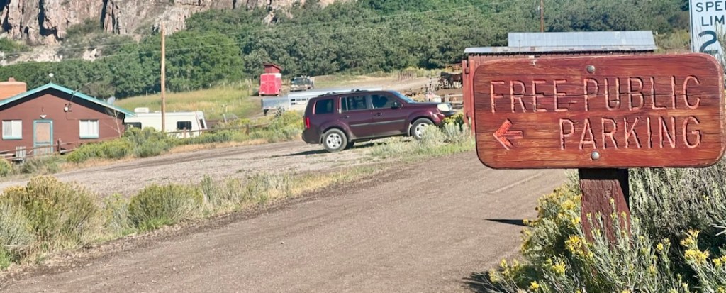
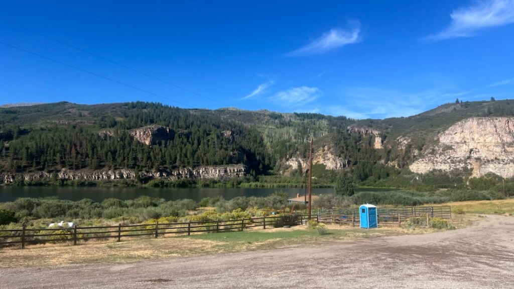
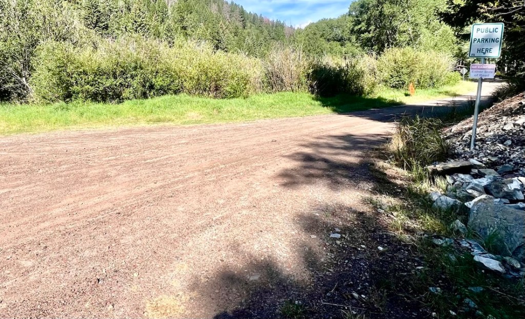
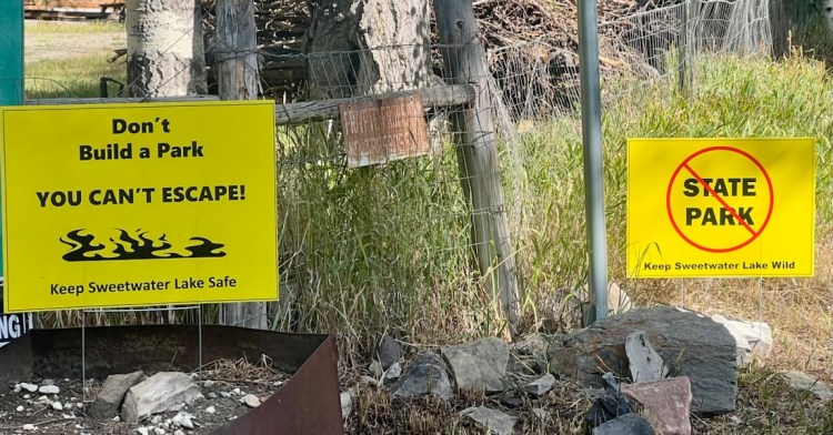
There was about 10 miles of dirt road to get to the trailhead. Sweetwater Lake has recently become a State Park, and it was clear that local residents objected. There was a continuous stream of protest signs from the Colorado River Road to beyond the trailhead, and this area might change if the state park develops.
Day 1: 9 Miles and Nearly 3,000ft Ascent on Turret Creek Trail
We hiked up Turret Creek Trail. I had planned an shorter Day 1 to help acclimate to the altitude, and we’ve found an easier Day 1 is generally a good idea. It was a steady climb all the way. The “bump” in our elevation profile at the beginning was on the road, which should be avoided with better parking.
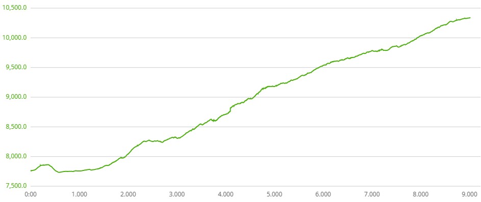
I had created custom AllTrails routes for each day, and this included several campsite suggestions. Unfortunately, once at the trailhead, AllTrails would not load without crashing. I had the GPX files on my watch, and the AllTrails route appeared to work on Samuel’s phone. I’ve sent a log file to AllTrails for investigation….
There were three trails from this trailhead to get into the Wilderness: Sweetwater Trail, Shingle Peak Trail, and Turret Creek Trail. Our overall route was a counterclockwise loop, so Turret Creek Trail made sense. The forecast suggested afternoon storms, so I wished to avoid lightning exposure. At the end of the trip, we finished on Sweetwater Trail after Rim Lake Trail, and that was fantastic. Entering via Turret Creek Trail was cool.
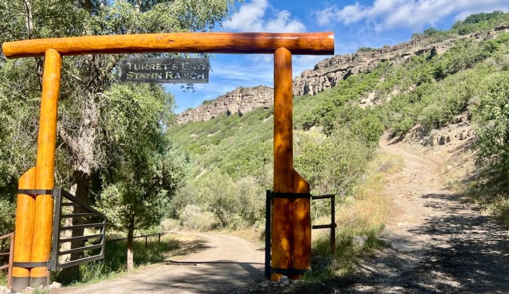
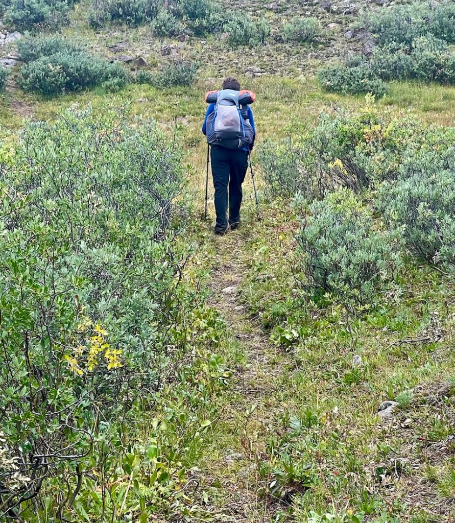
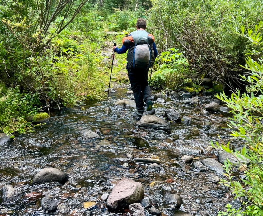
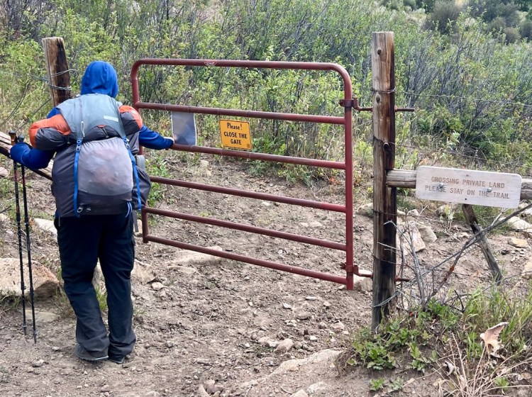
At first, the trail followed a track through private land, with a couple of gates to open and close. Past that, the trail was clear with some bushes encroaching every now and then. The trail crossed Turret Creek a couple of times, and we could rock-hop or log-balance and keep our feet dry. We also crossed an interesting manmade drainage that looked like it was diverting water. At about 1.2 miles from Hilltop Trailhead, the AllTrails map showed an Old Turret Creek Trail that stayed to the west of the river. However, there was very little trace of this trail and it was obvious to follow the Turret Creek Trail, and not turn onto Nellie’s Trail, or Nellie’s Nipple as the signs call it. The sign marking the edge of the Wilderness was also further along the trail than this map indicates. Horses use the trail and it was clear, wide, and easy to walk on. Our only human interaction of the day was with a lady and her horse.
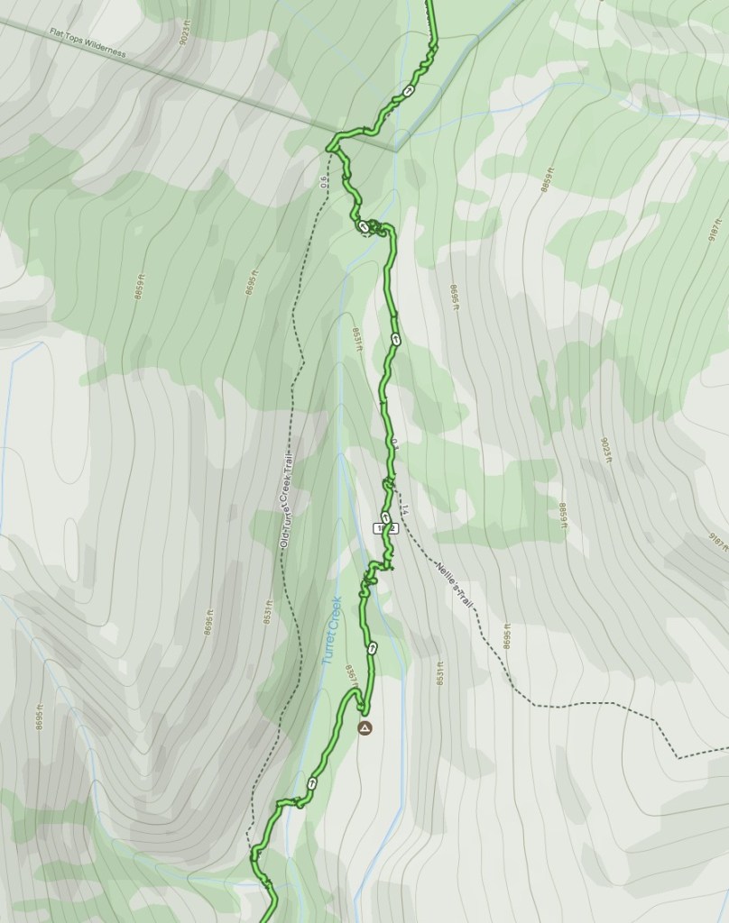
There was a large, flat, spacious campsite at 5.2 miles from Hilltop trailhead, next to an area labelled Turret Creek Meadows on my printed map. It had easy access to water. It was at 9700 ft elevation. The site was marked as a campsite on AllTrails and CalTopo. We did not stop there as we wanted to hike further, but it was probably the best “established” campsite that we saw in the Flat Tops.
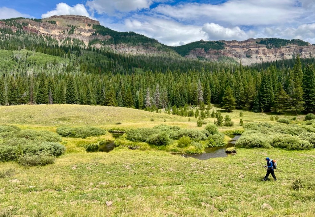
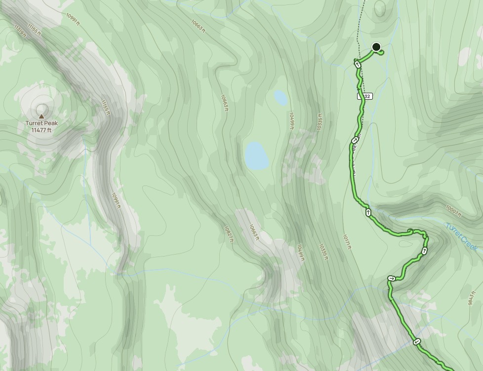
After the Turret Creek Meadows campsite, the path moved away from the river, or was significantly above it. This is visible when looking closely at the map contours. We stopped when we noticed a faint path going off into a meadow between the trail and the river and found a fairly level spot on the edge of the trees. It was almost due east of Turret Peak. My plan had been to walk about a mile further where the path crosses the stream, but we saw the following morning that it wasn’t any better. We stopped after 9 miles of hiking, 7.2 miles from Hilltop TH. Our site worked well, albeit a bit sloped. It was a damp site, but that might have been because it rained that night.
Day 2: 12 Miles, 3,000ft Ascent, Past Island Lakes and Deer Lake to the Plateau
We continued up Turret Creek Trail, turning right onto Turret Crescent Trail and left onto W Mountain Trail. Turret Crescent Trail was less used than Turret Creek, probably because it is not the horse route. There was evidence of trail maintenance on W Mountain, with bushes having been lopped. This took us up to 11,500 ft on the plateau. The lakes in this area had water. There were no obvious campsites, but if we’d looked, we probably would have found something suitable.
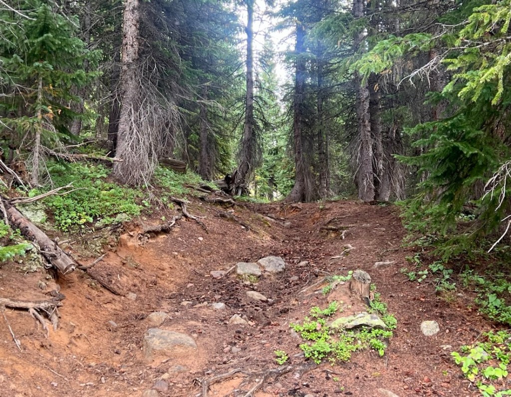
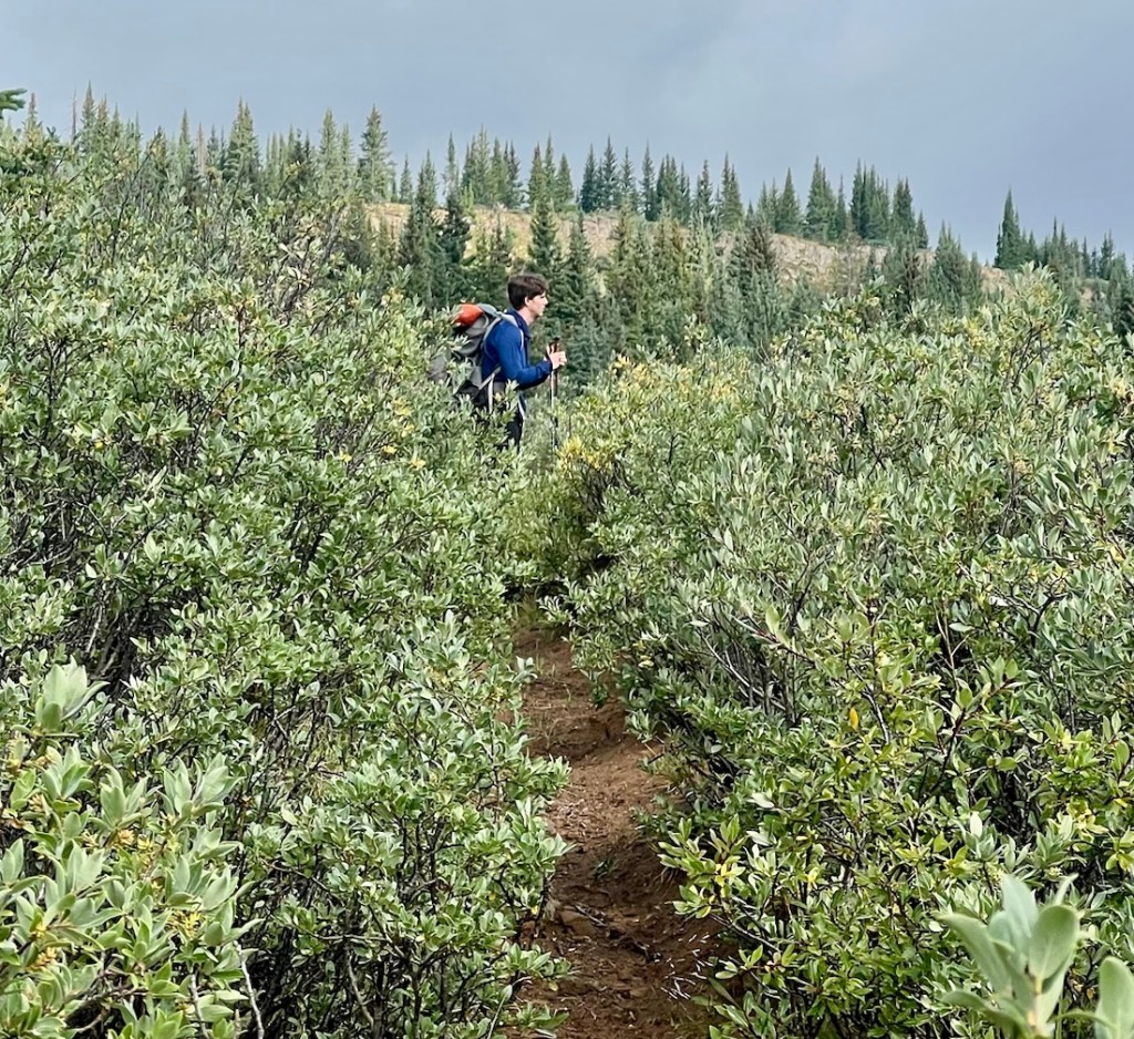
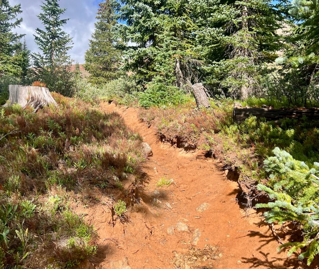
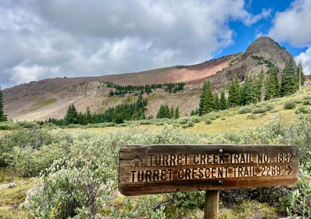
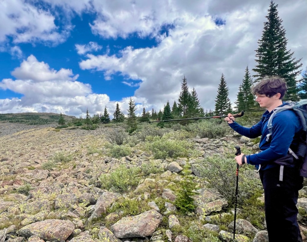
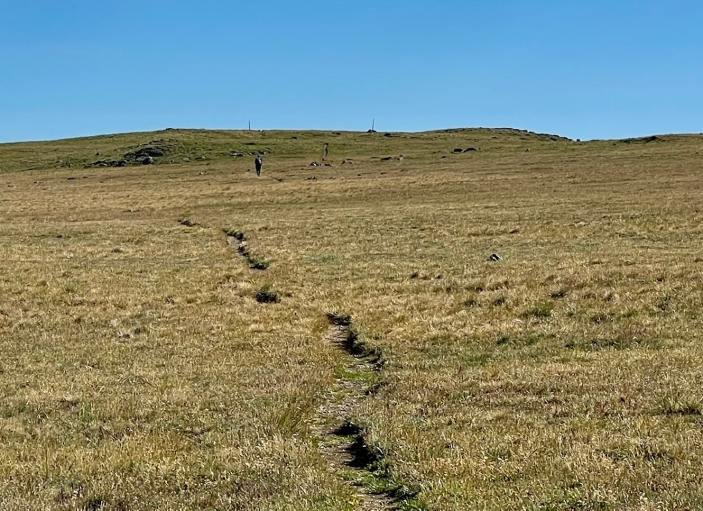
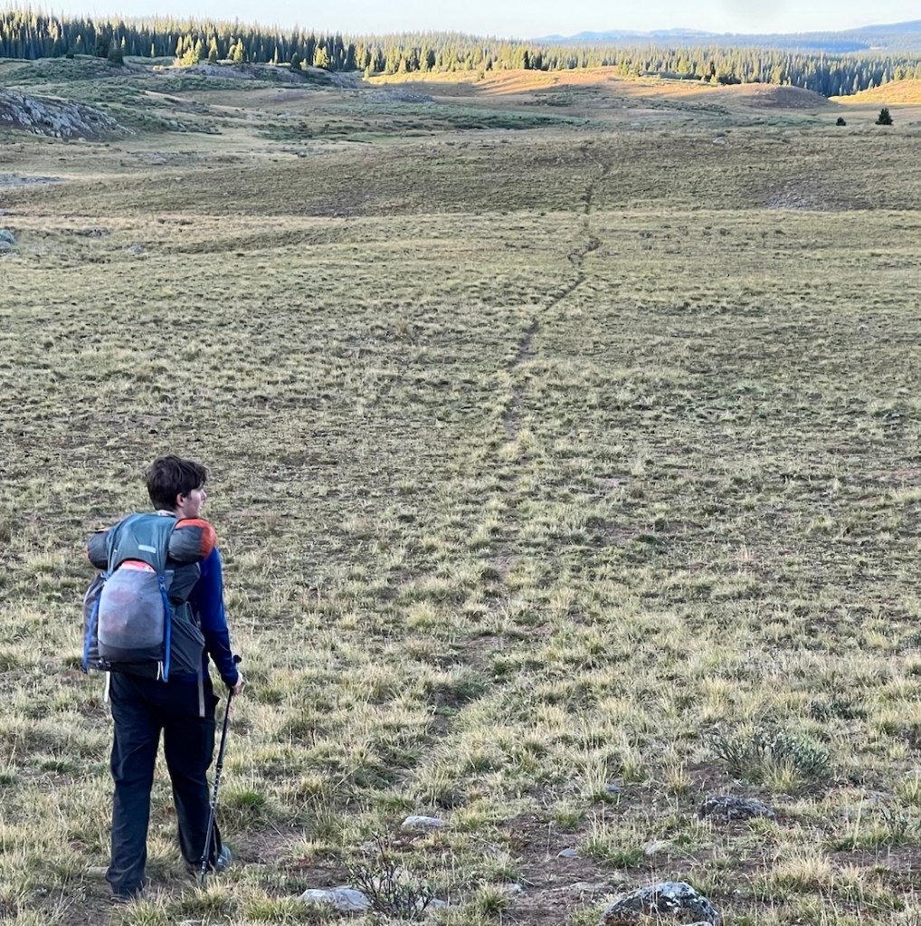
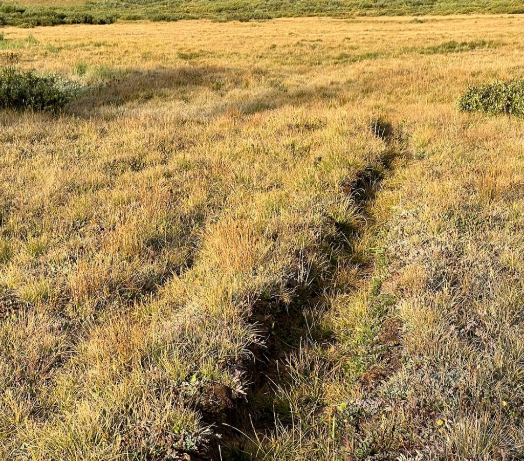
The trail on the plateau was easy to follow on the flat top, with several large cairns, and some with a large wooden pole. While easy to follow, the walking got harder. A narrow path had either been worn or cut into the very tussocky grass. Sometimes it was awkward to walk on the path, but walking on the tussocks was often harder. This made the walking more tiring, and was much worse on Day 3. Also, it wasn’t always very flat!
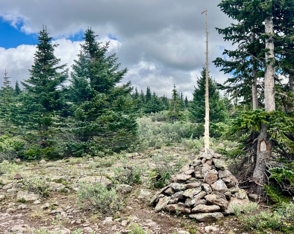
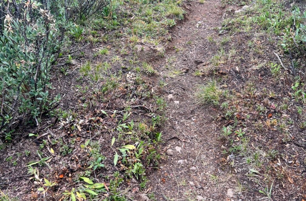
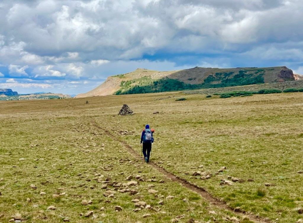
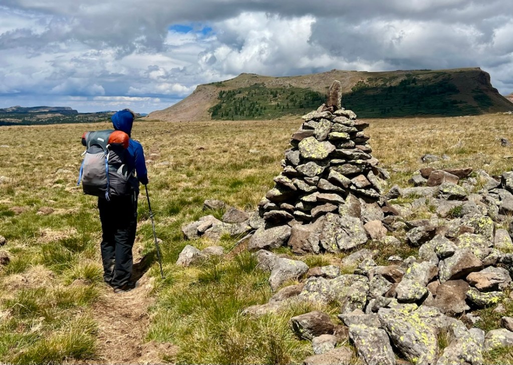
As we approached the junction of W Mountain Trail with Island Lakes Trail, the trail differed from AllTrails. We left the worn/cut trail to go towards a cairn that was at the junction. This section would have been uncomfortably exposed if there had been lightning. Our pre-trip weather forecast had indicated a possibility of rain and storms all day this day, but it was clear. I updated my Garmin InReach weather forecast each morning. There was no water in this area until Island Lakes.
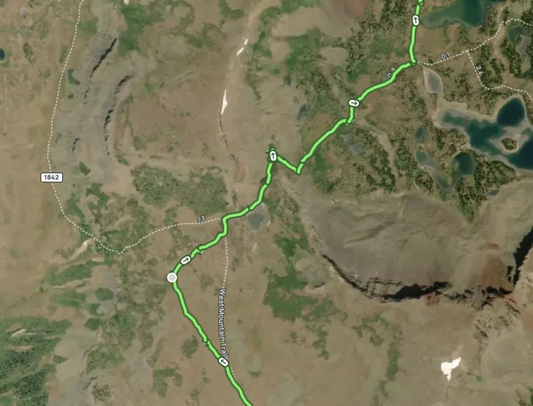
As we descended toward Island Lakes, we met one other backpacker and his dog. He’d just met a group of 15 that were camping by Island Lakes. I expect these lakes often have campers.
This is where our itinerary differed most from Valerie Norton’s. Valerie’s followed the Island Lakes Trail into the valley, coming out at Stillwater Reservoir and continuing on the East Fork Trail to the Lost Lakes. I had investigated that route which had lots of camping options by lakes and a possible side hike to Flat Top Mountain, the highest peak in this range at 12,356 ft. I’d also considered summitting Derby Peak and then dropping off the plateau above Hooper Lake. The valley seemed more likely to have bugs, farm animals, and we incorrectly thought we’d see more wildlife on the plateau. Ultimately, it was about distance. It was about thirty miles from Hilltop Trailhead to Devil’s Causeway, which left little room in a round trip over six days aiming for ten miles a day.
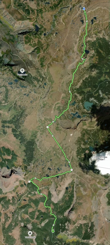
However, coming off the plateau allowed us views of the wall above the Island Lakes and Deer Lake as we hiked along Deer Lake Trail, and we welcomed the contrast. The views on the plateau were not of impressive peaks or drastic features, which was a different experience. The shapes and colors in the wall lifted our spirits.
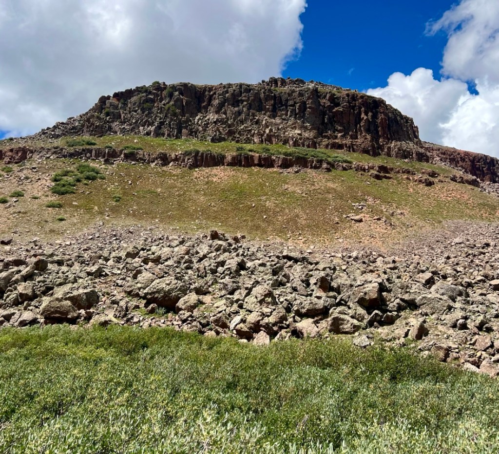

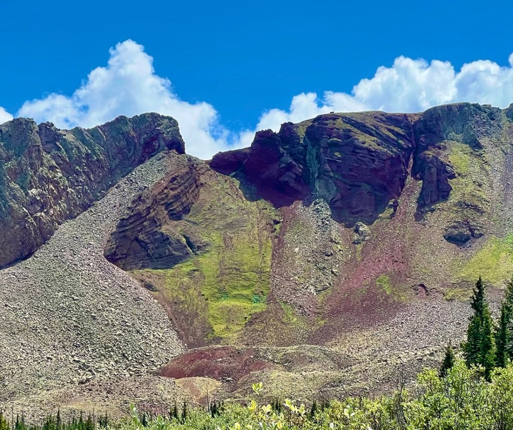
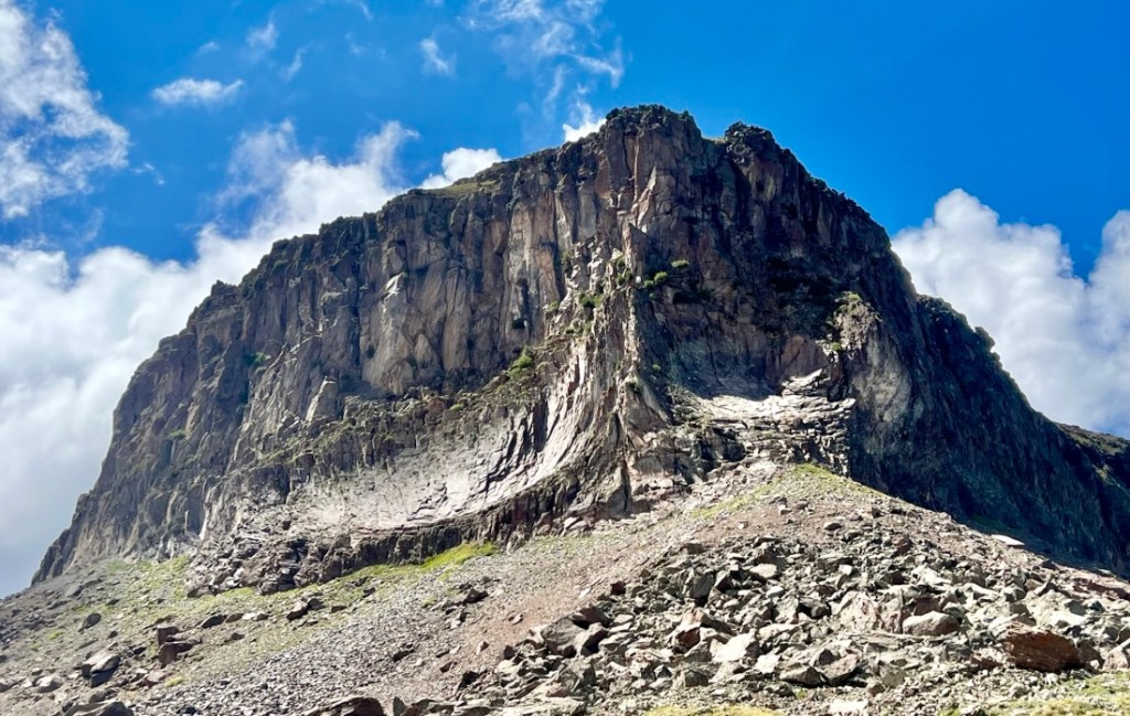
We considered stopping at Deer Lake for the night, but the campsite we found wasn’t that flat, and the lake just didn’t grab our interest. It provided us a well-needed rest and snack break. In my plan, Deer Lake had been a contingency stop if there was lightning. The plan for the night had been to hike as far as the junction between Chinese Wall Trail and Bear River Trail. We met a couple of ladies and dogs at Deer Lake who suggested that it was dry on the top.
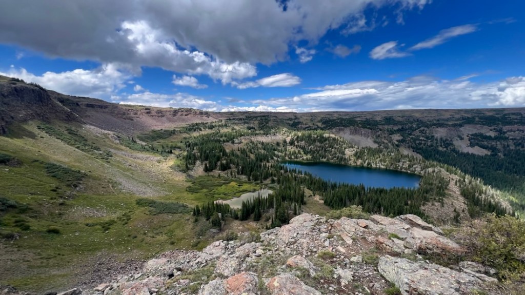
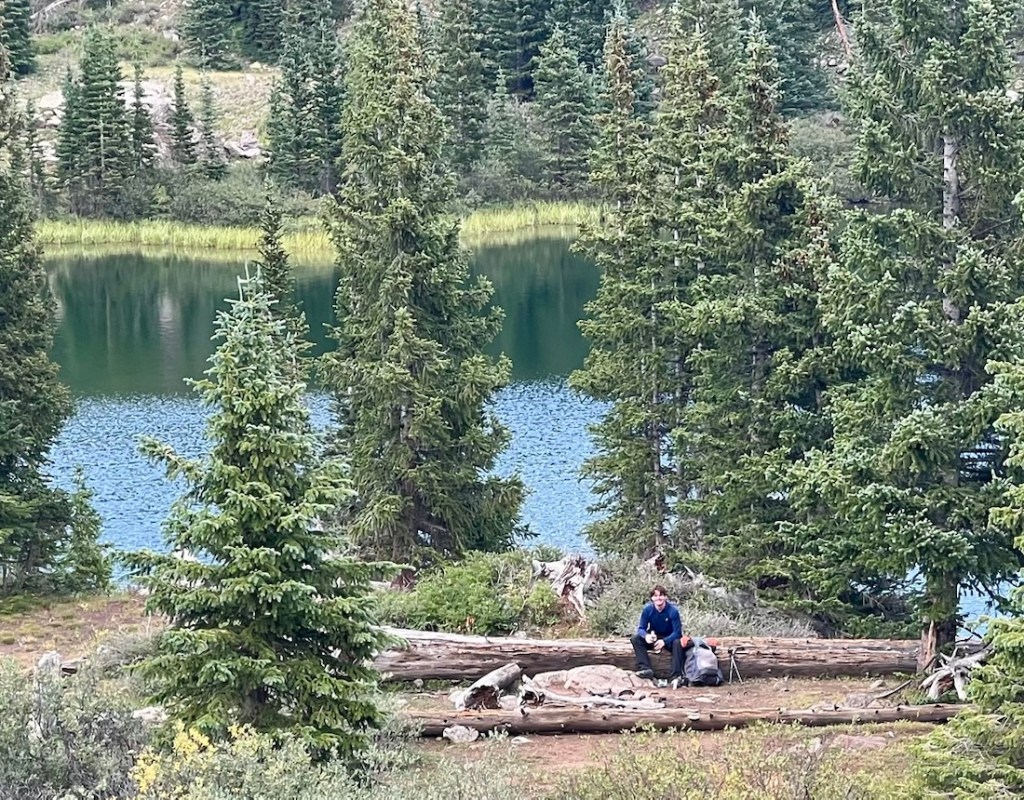
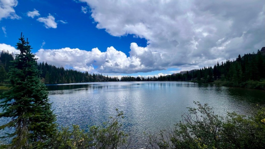
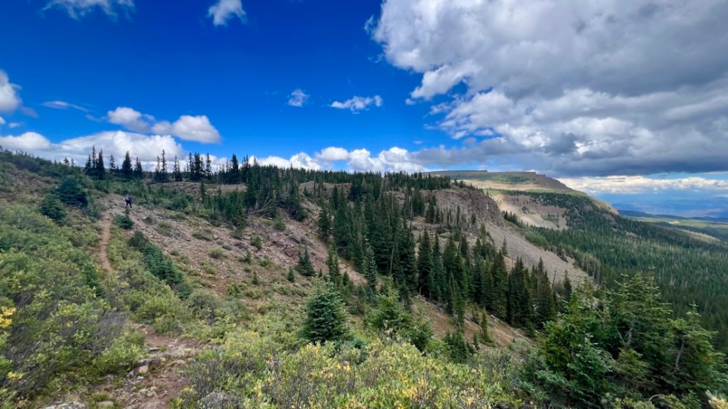
With concerns about water and feeling tired after surprisingly more elevation gain than Day 1, we chose to stop and camp soon after regaining the plateau near a pond at the junction of Deer Lake Trail and Chinese Wall Trail. With fine weather, we chose a very exposed campsite. The pond water was viable and pretty clean, but shallow with easily-disturbed sediment. As I tried to collect water, I sunk into the mud surrounding the pond, so I learned to proceed with care, and found a recent set of moose and bear tracks!
The exposure changed the temperature profile, with a sub-freezing low that night of 29 when 42 was forecast. We missed having logs to sit on for cooking and eating, but the stars were so clear in the middle of the night! I had the perfect view of the Big Dipper from my sleeping bag! We did not see another human soul, but we heard a flocks of sheep and a pair of dogs conversing as the sun set.

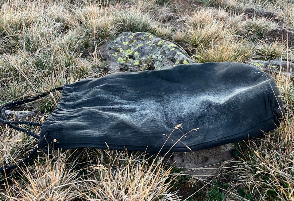
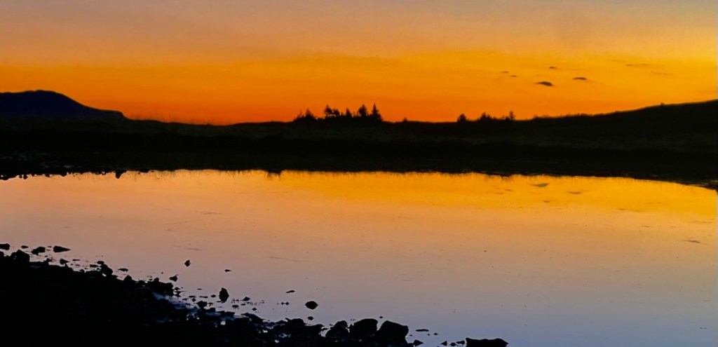
Day 3: 16 Miles with 3,200ft Descent via Devil’s Causeway to Below Chinese Wall
Day 3 was always going to be the challenging day as we wanted to see Devil’s Causeway and the northern section of the Flat Tops plateau was dry. My overly-optimistic plan thought we’d find water on the top after Devil’s Causeway (it was dry) and then camp at the junction of Chinese Wall Trail and Lost Lakes Trail (the only flat, clear area was the trail itself). This was compounded by hot sun all day, and a very tussocky trail after the Devil’s Causeway that was exhausting and triggered blisters. The alternative was crossing Devil’s Causeway and walking in the valley to Lost Lakes, which I think is a popular area. The plateau is what makes the Flat Tops unique so that was our focus.
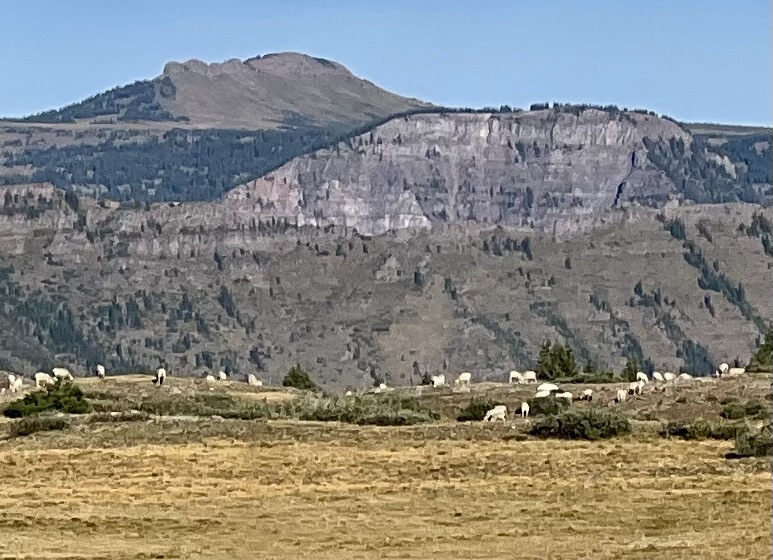
We spotted the sheep on a distant hilltop, reminding us of England, and were excited when the wall above Stillwater Reservoir became visible. The initial hiking was straightforward, heading north along Chinese Wall Trail, with a little wiggle at the junction with Bear River and Little Trappers Trail. After that junction, there was no water until the end of the day – over fourteen miles. We saw tents by Mosquito Lake below us, which was a storm-contingency in my plan.
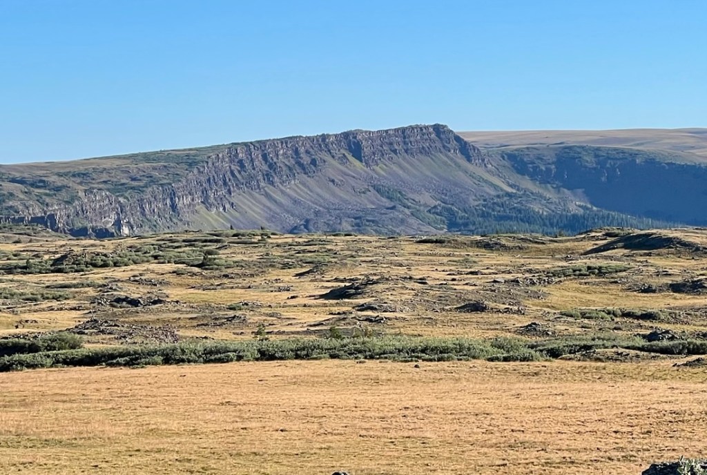
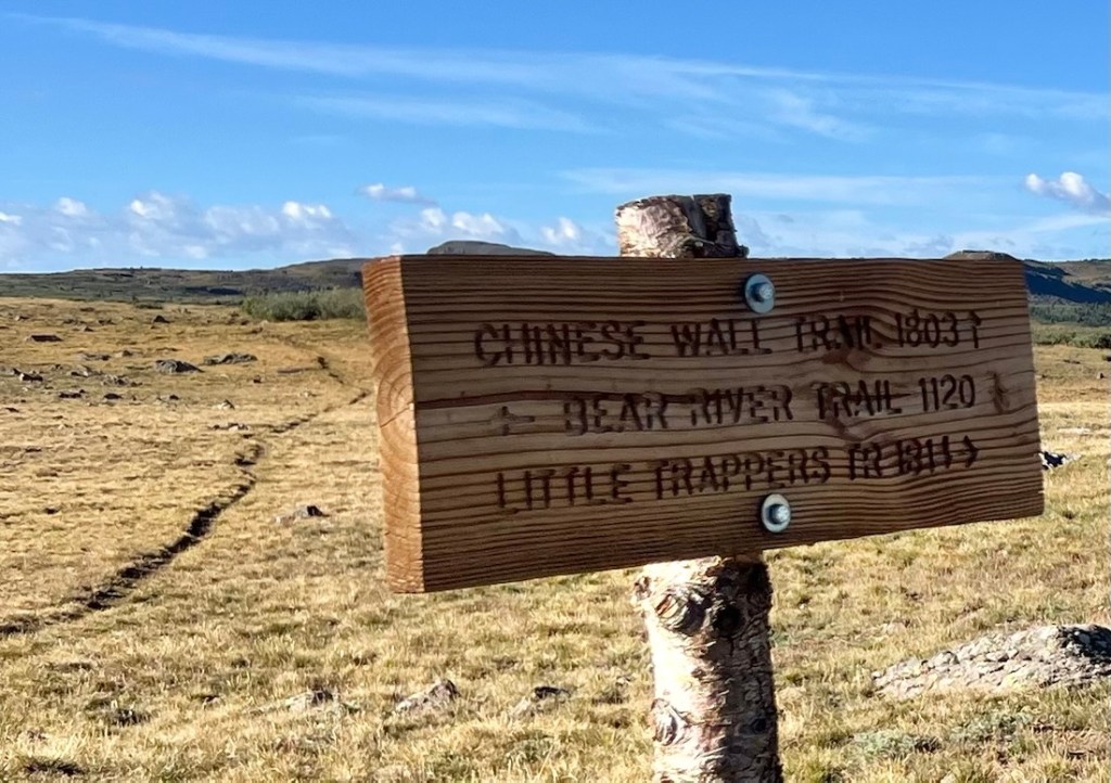
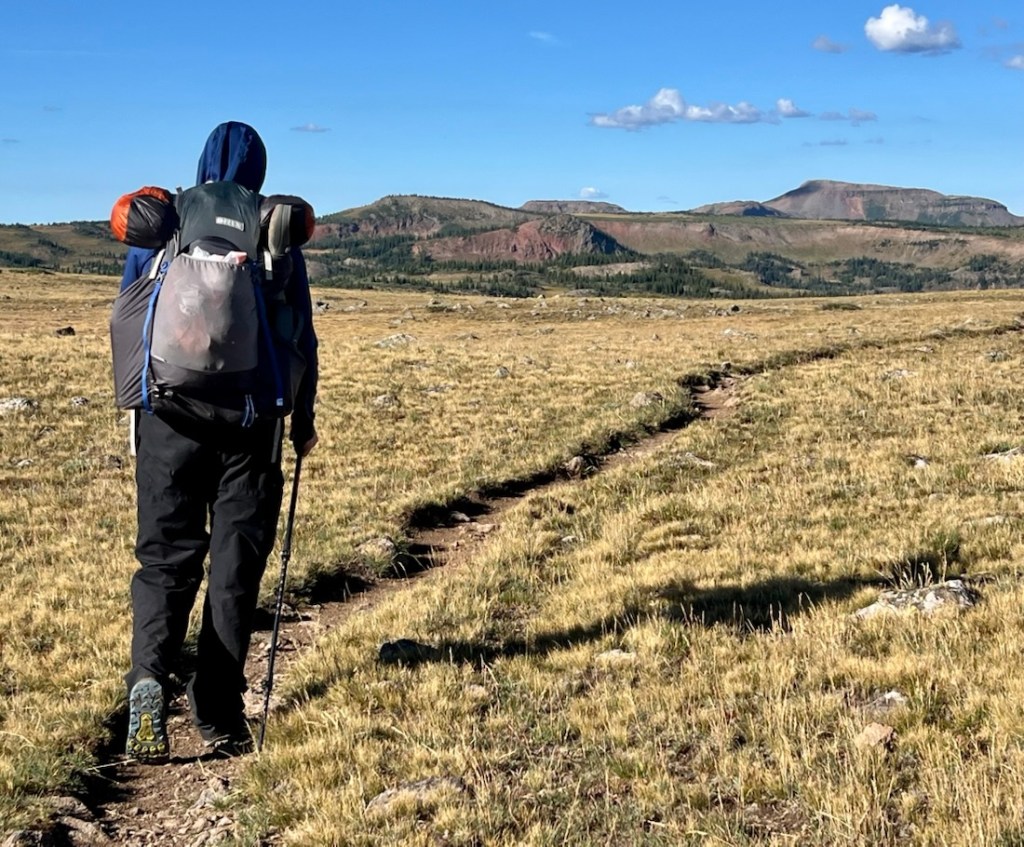
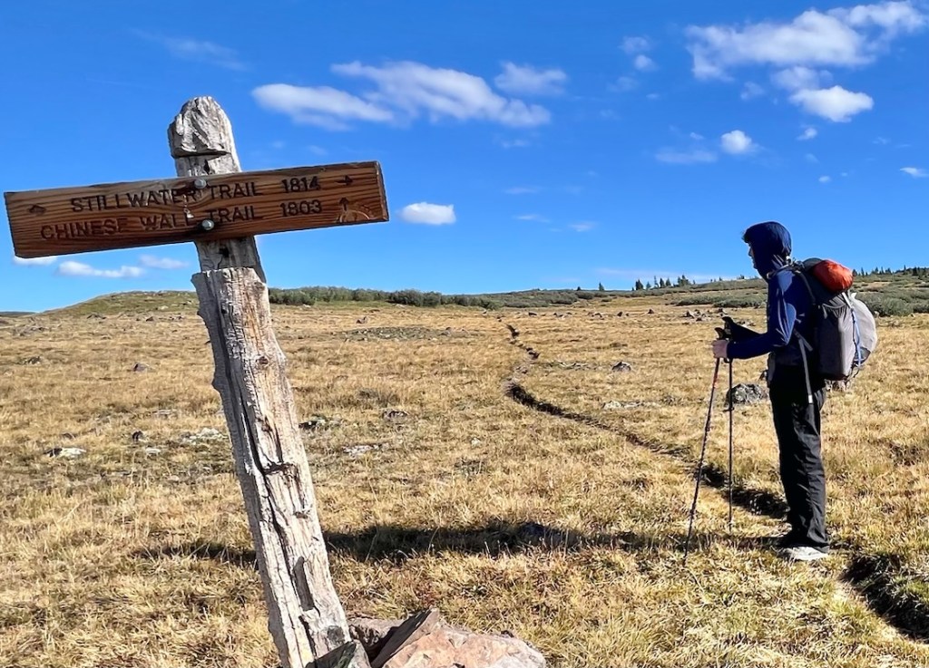
We stopped at a fantastic viewpoint above Rainbow Lake with some of the best views of the trip into the Stillwater valley and across to a very flat top around Flat Top Peak.
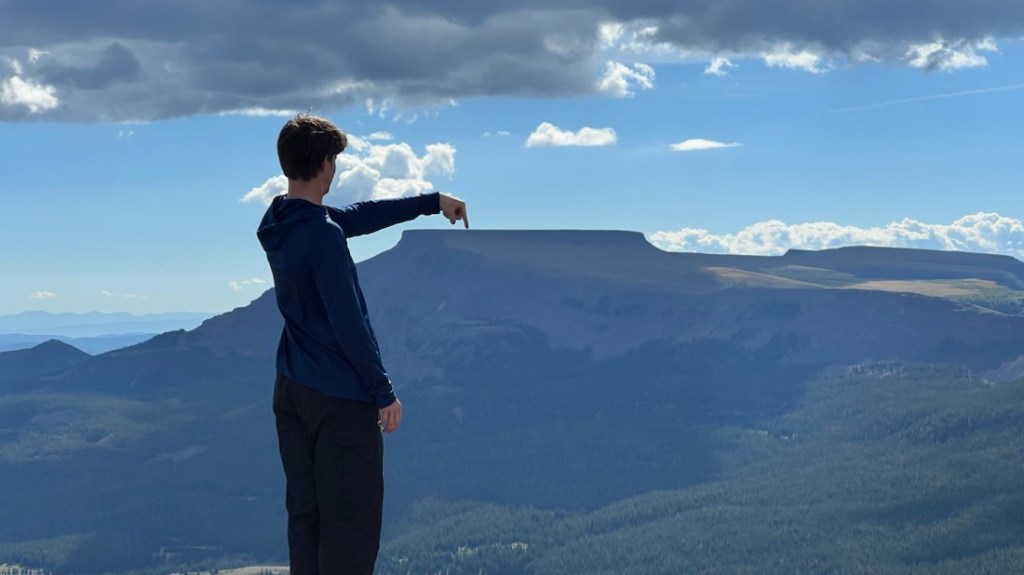
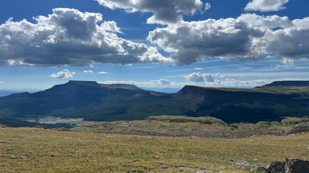
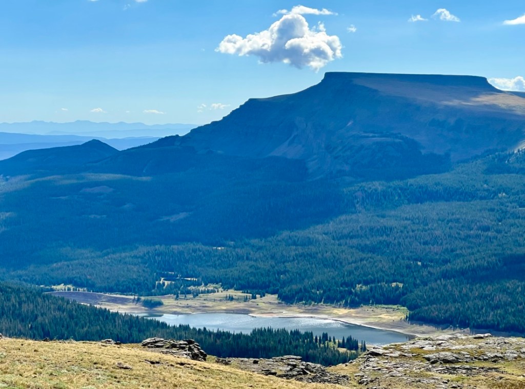
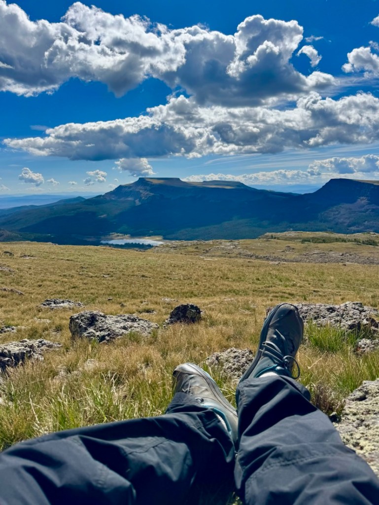
We continued onto Devil’s Causeway and met a couple of couples who had crossed it on a day-hike loop from Stillwater. We spotted other people approaching as well – this was a busy spot! The Devil’s Causeway was a bit underwhelming, perhaps because we did not cross it. The most famous part was a 50-ft rocky stretch about 5ft wide with 1000 ft vertical drops either side, and it is difficult to capture this in a photo. I felt uncomfortable! The view of the wall above the Lost Lakes was my highlight.
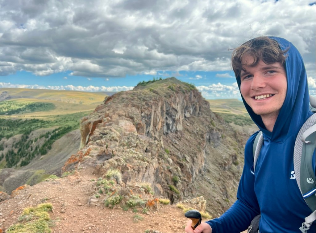
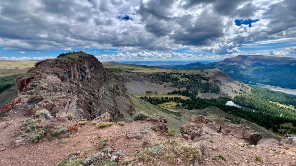
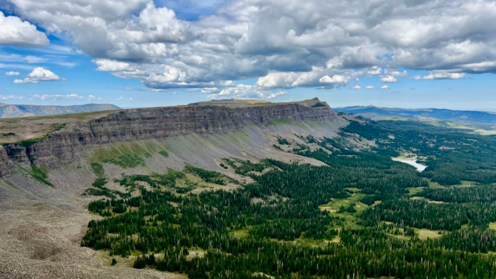
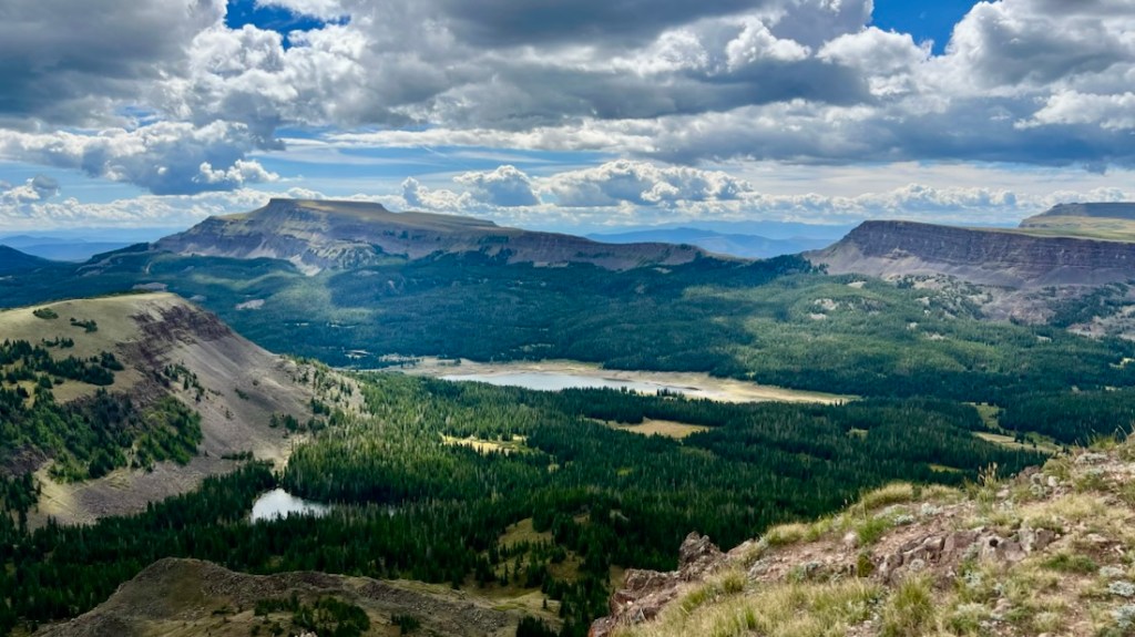
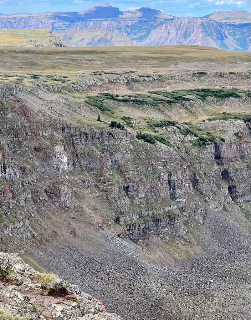
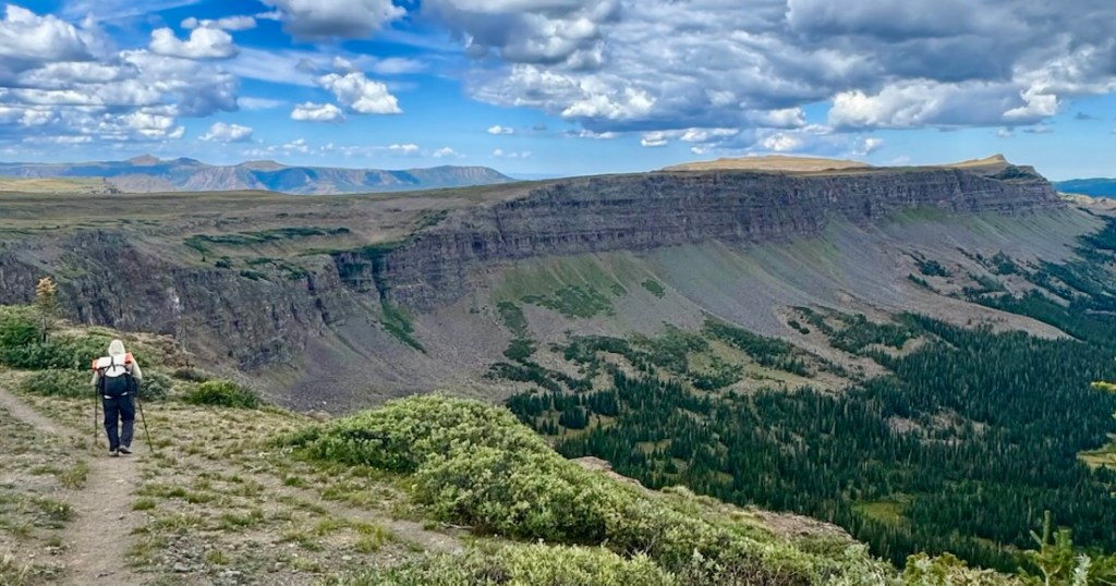
Then came the slog. The Chinese Wall Trail was intermittent on the ground, and never easy walking. Early on, we passed two couples going the other way, presumably doing a one or two night loop from Stillwater via Lost Lakes. They had already spent hours on these tussocks, and they passed us with their heads down without acknowledging us. There were a couple of peaks in this section that Valerie Norton had included and bagging at least one had been in my plan, but we were just too hot and tired to do anything more than the minimum. There were lots of cool sights on the way.
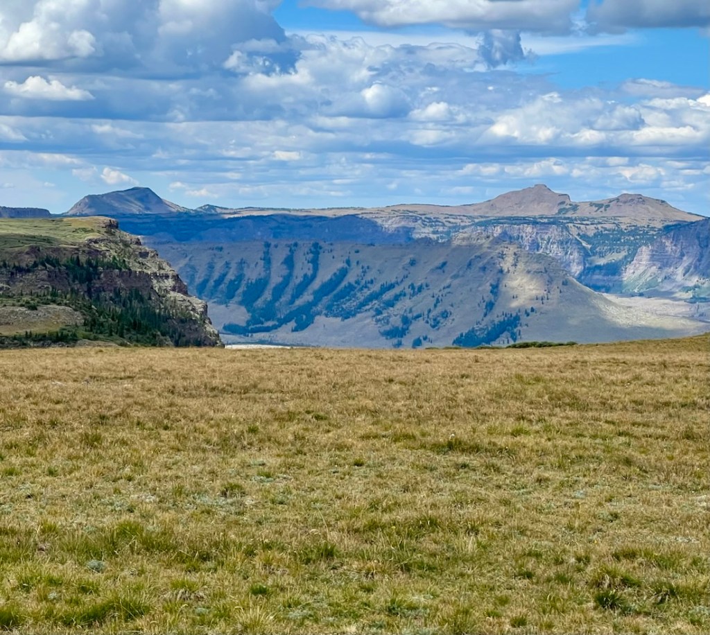
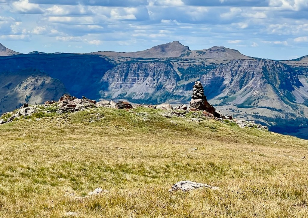
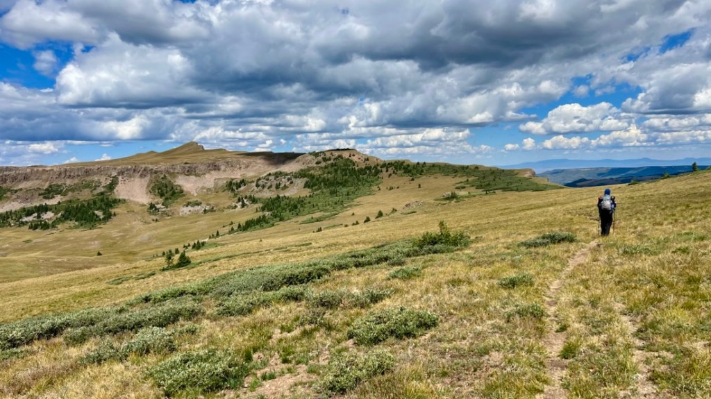
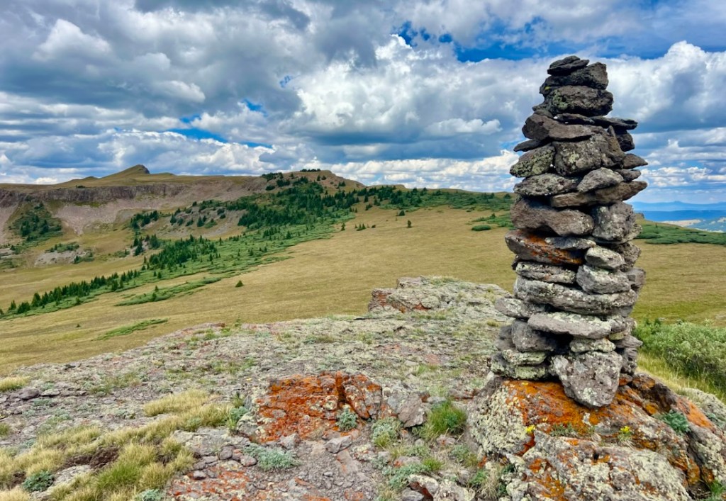
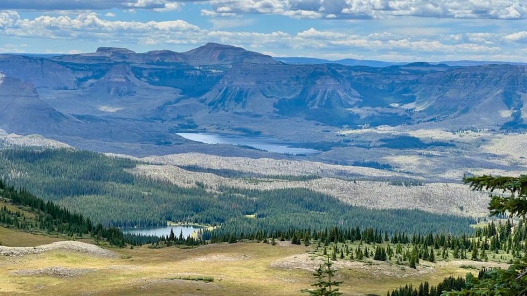
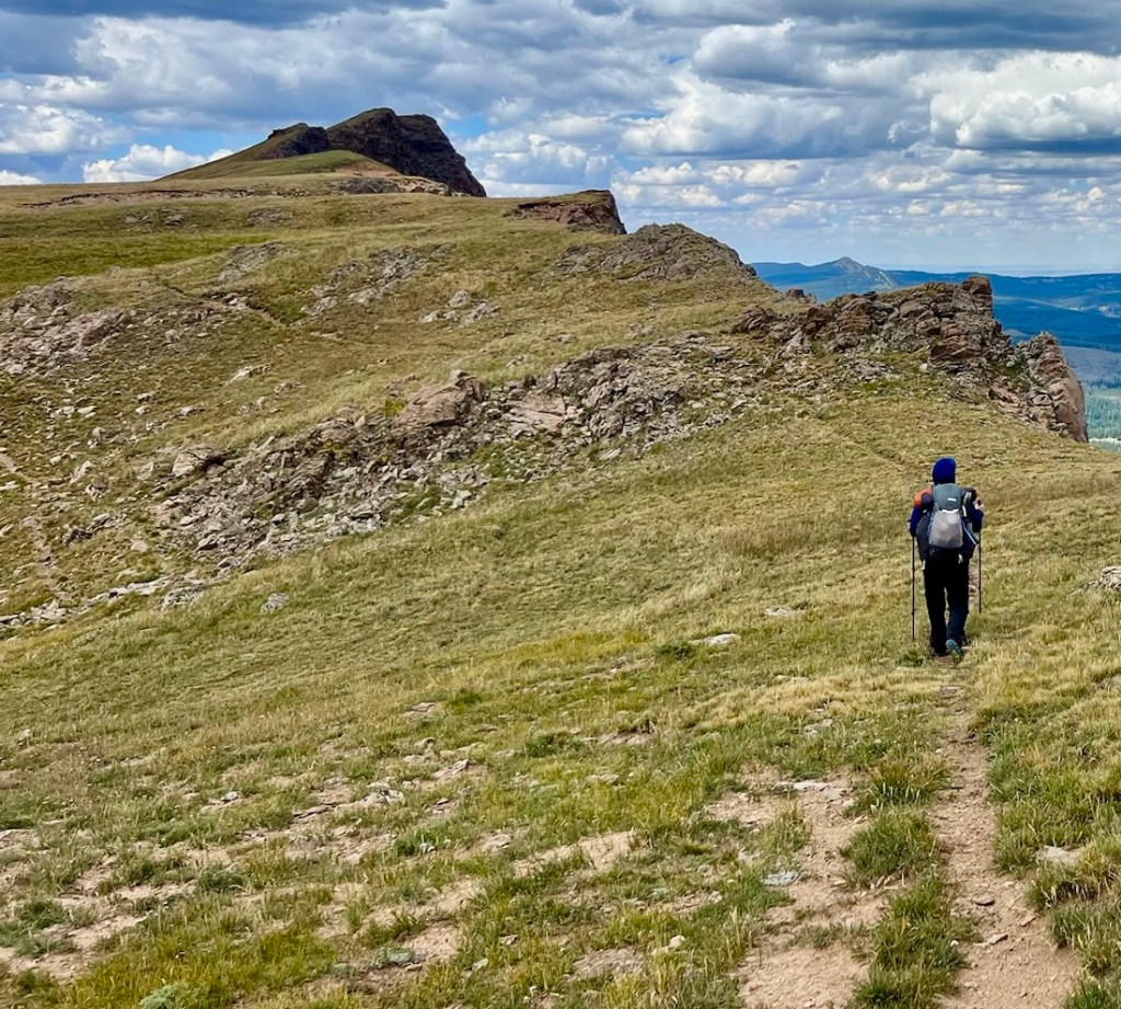
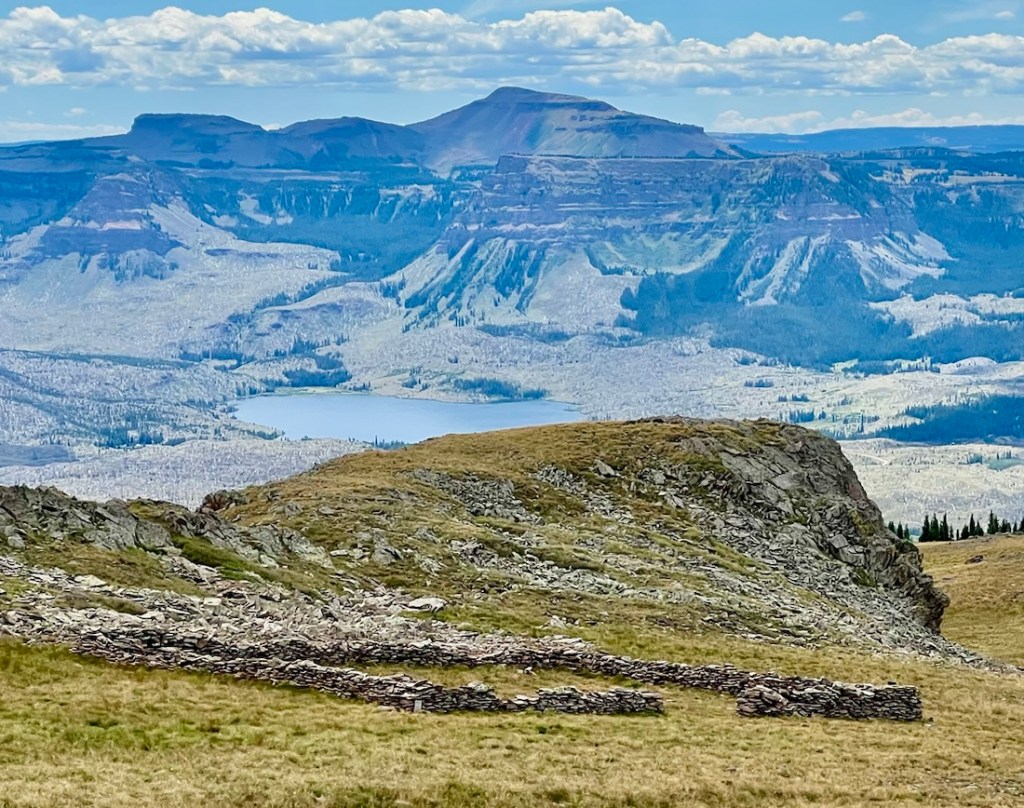
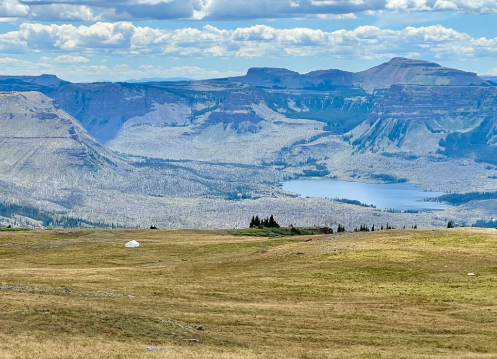
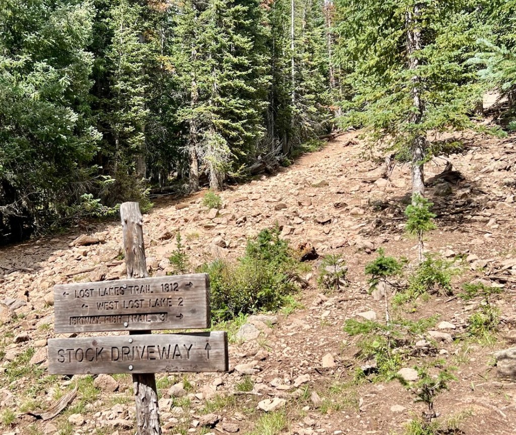
We were thankful when we started our final descent, and more thankful when we reached the shade of the trees. At the junction of Chinese Wall and Lost Lakes Trails, we took a break, and even lay down on the trail, recognizing the weakness of my plan, and that we’d likely need to walk to Skinny Fish Lakes for a good campsite and water. We were not overjoyed with the prospect of another five miles!
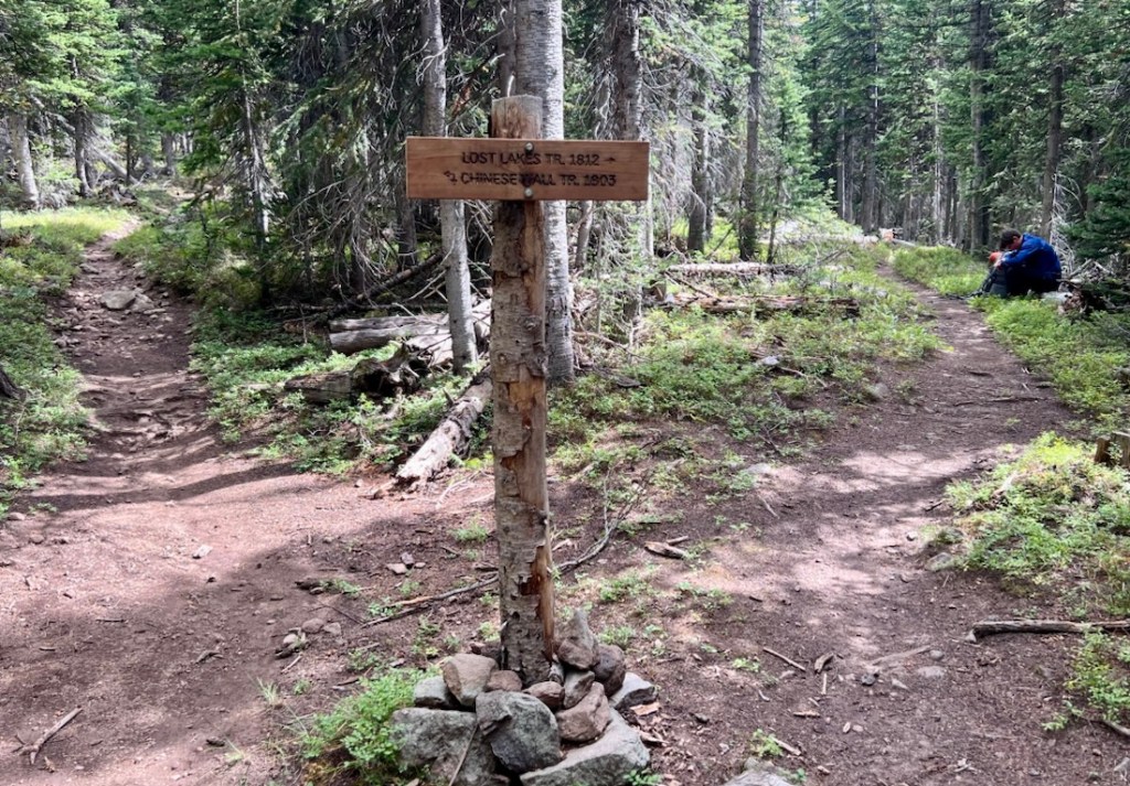
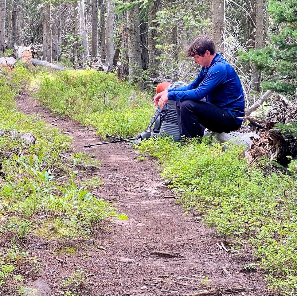
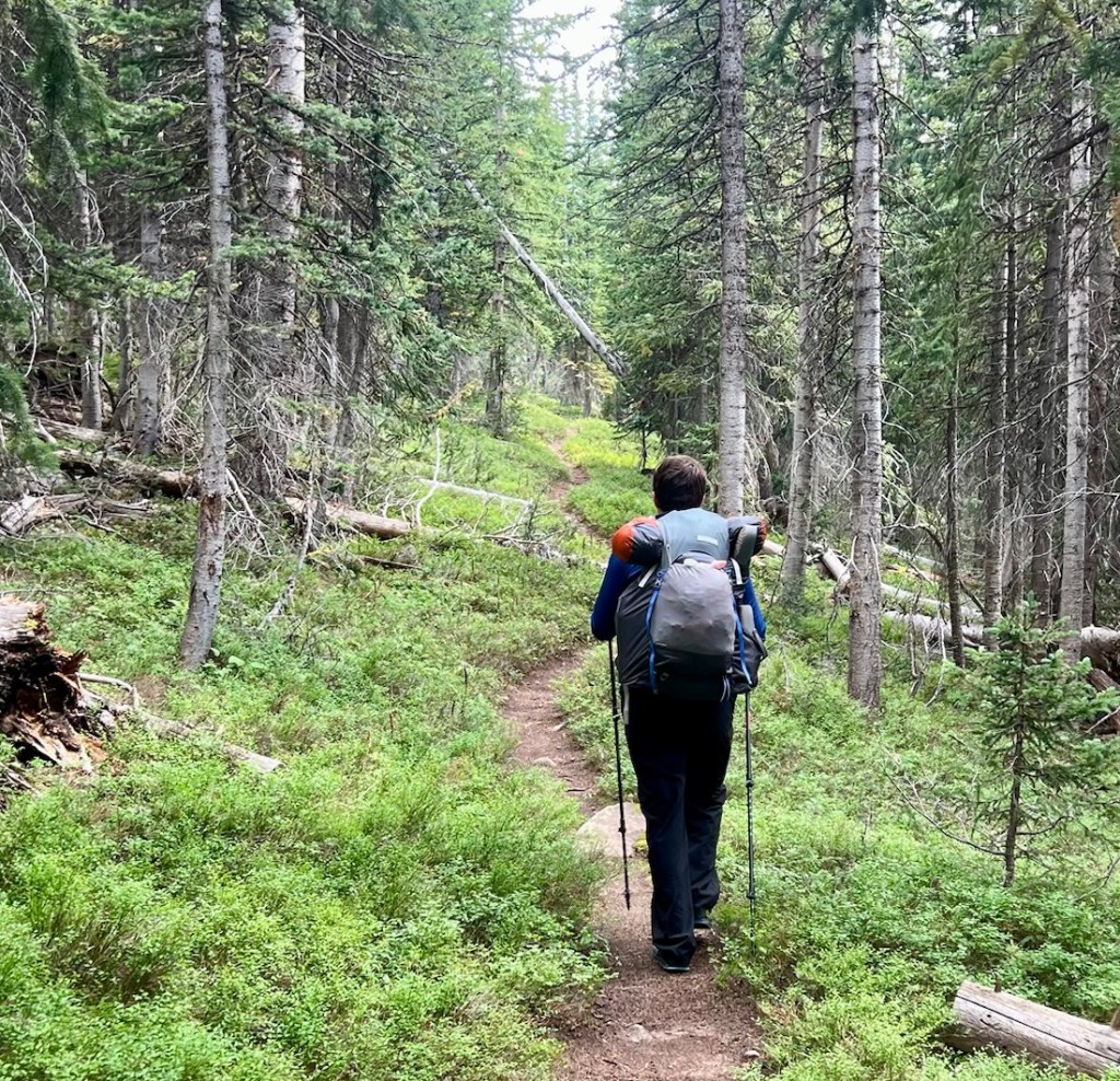
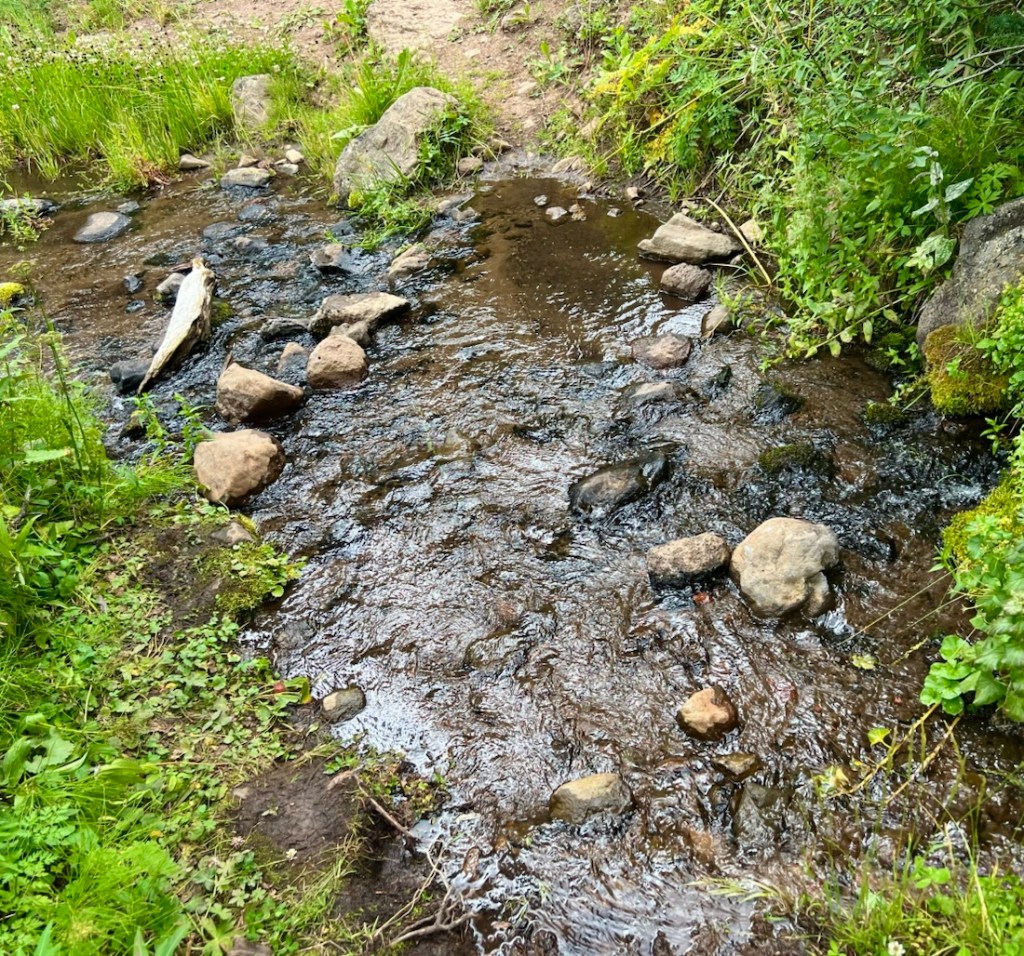
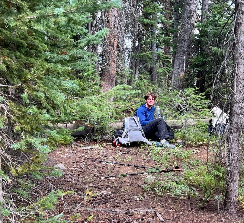
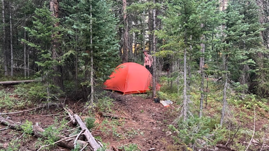
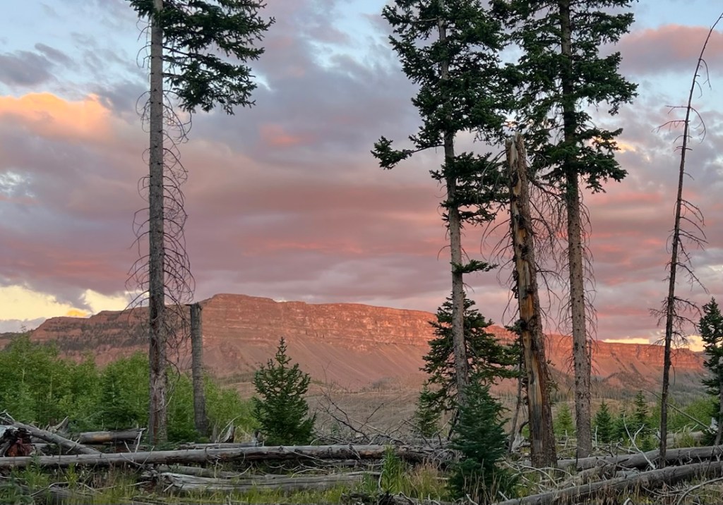
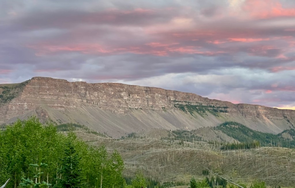
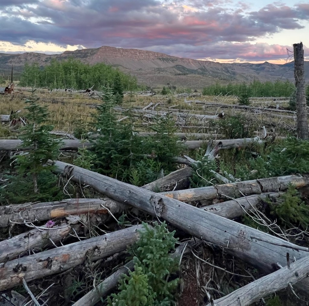
After about 2.5 miles, Samuel unexpectedly heard water. Then, the trail crossed a healthy stream that was not on the map. We backtracked to a side trail that lead into a meadow, found the river, squeezed our tent between some trees, and set up our kitchen using a great, horizontal fallen tree as our bench! Having passed several rivers and lakes on the map that were actually dry, we were very surprised that we found such a strongly-flowing river that was not on the map, and concluded that God was providing us in our need! While our site was in the trees, it was right next to the edge of the burn scar from the large 2002 Big Fish Fire (more about this on Day 4). We slept very well that night!
Day 4: 13.1 Miles, 2,400ft Ascent via Trappers Lake and Wall Lake to the White River Headwaters
Now that we were “ahead” of the plan, and past halfway, we considered compressing three days into two. We often do this, and it wasn’t due to lack of fun! We didn’t have to decide immediately, but we had a plan. The initial plan had been to check out Trappers Lake before hiking up to Wall Lake, with an option to climb Trappers Peak the following morning. On arrival at Wall Lake, we weren’t overly impressed, perhaps because we’d met a couple of other people who had said how great it was! We kept going, completing about half of the planned following day. The map suggested several rivers near the junction of Trappers Lake Trail and Wall Lake Trail, but we filtered two liters quite early and chose a dry flat campsite on the boundary between forest and meadow.
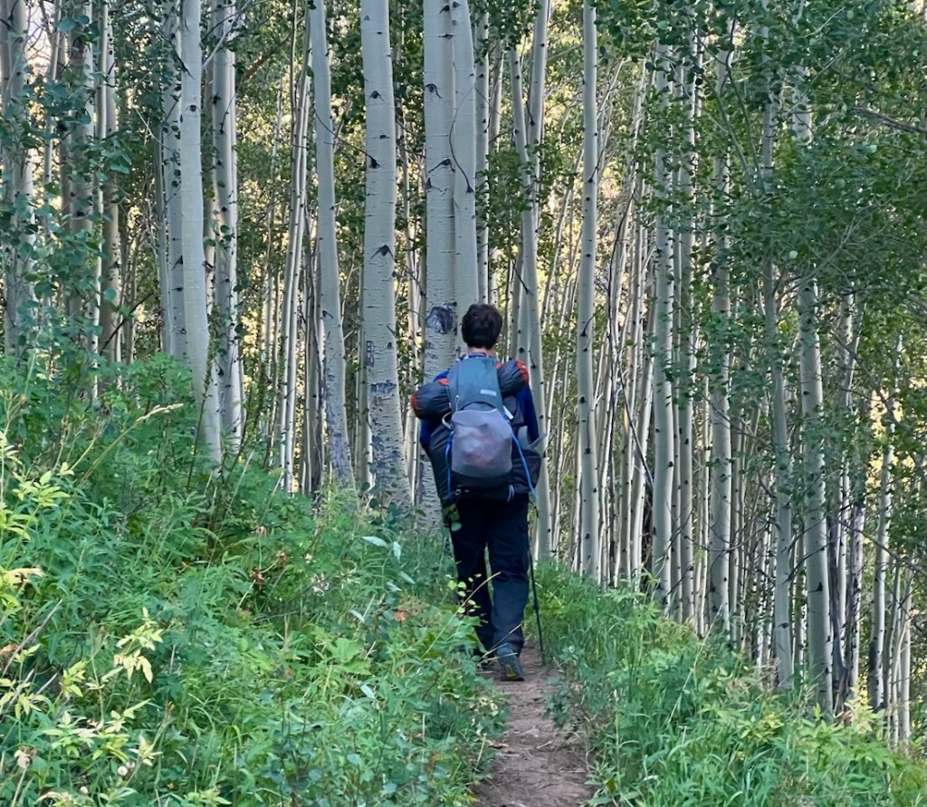
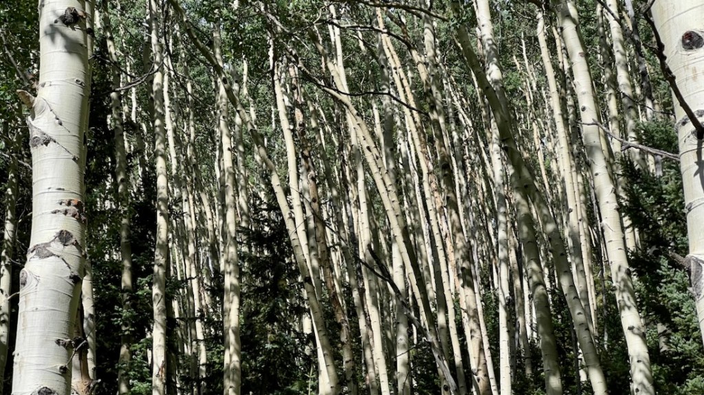
The hike down to Trappers Lake was easy on a well defined path. We crossed a bridge! We enjoyed the Aspens as we left the Wilderness, but noticed that much of the landscape was desolate. We assumed it was due to a previous wildfire.
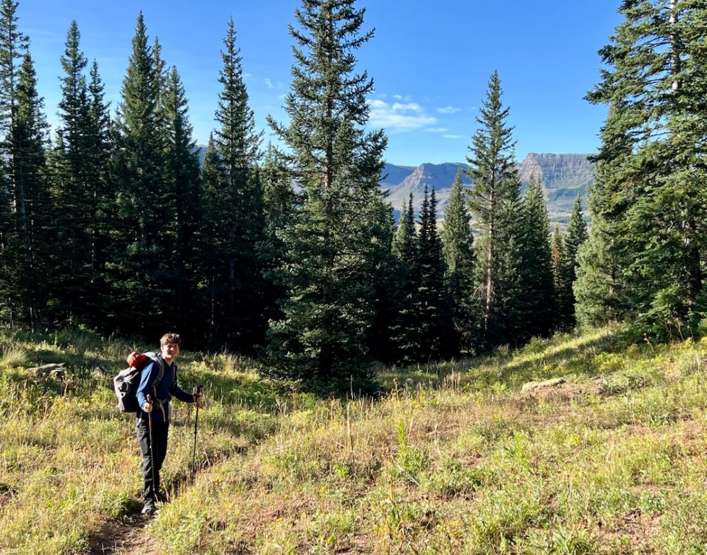
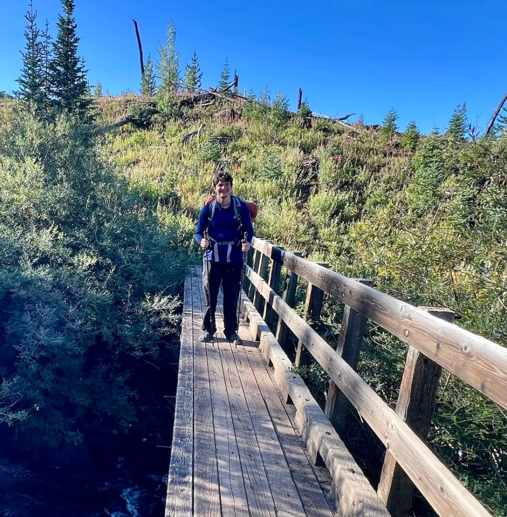
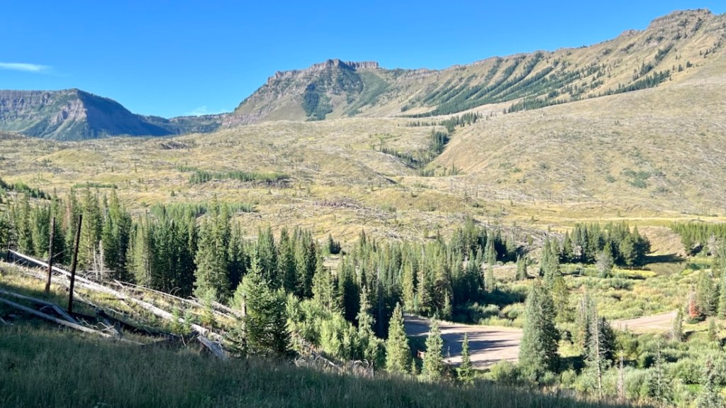
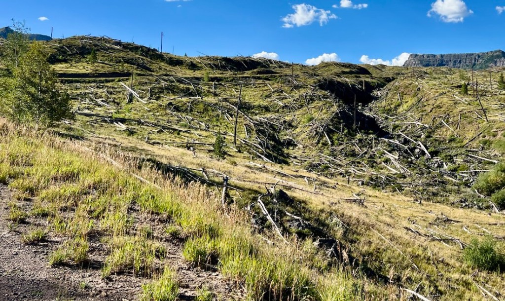
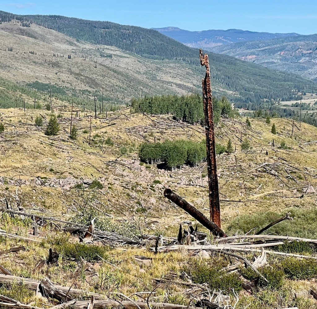
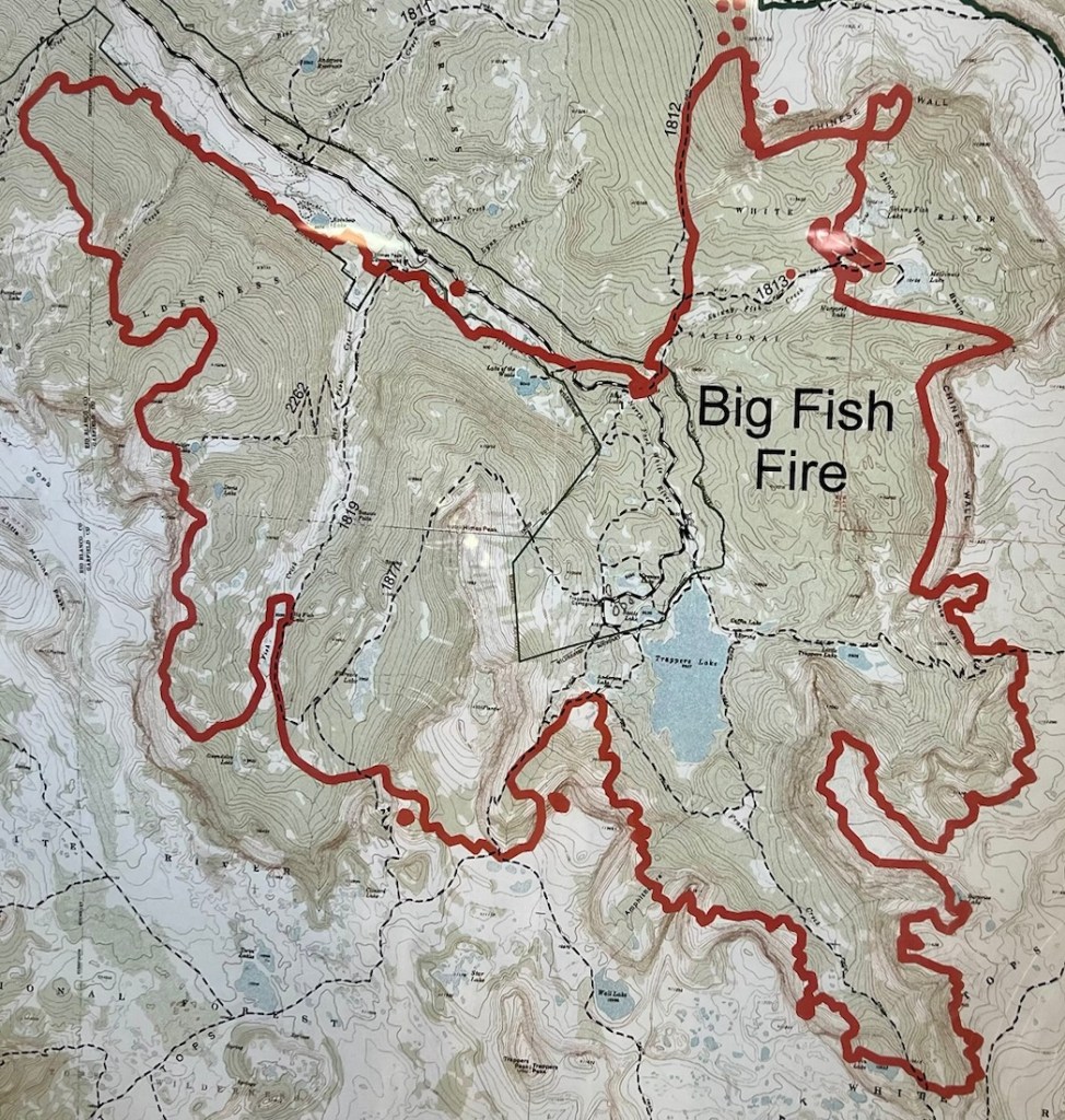
Our ~one mile of roadwalking took us to the Trappers Lodge Grocery Store, which provided some welcome refreshments, conversation, running water, trash can, and bathroom! On the wall was a map of the 2002 Big Fish Fire, which we then assumed had caused the desolation that we saw. However, after the hike, I found this YouTube video of the presentation of a case study of this fire by the Forest Service, and learned that much of the forest destruction was actually from an insect infestation in the 1940s. I thoroughly recommend watching this 17-minute video before hiking in the Flat Tops Wilderness! CalTopo includes a great layer that shows fire history.
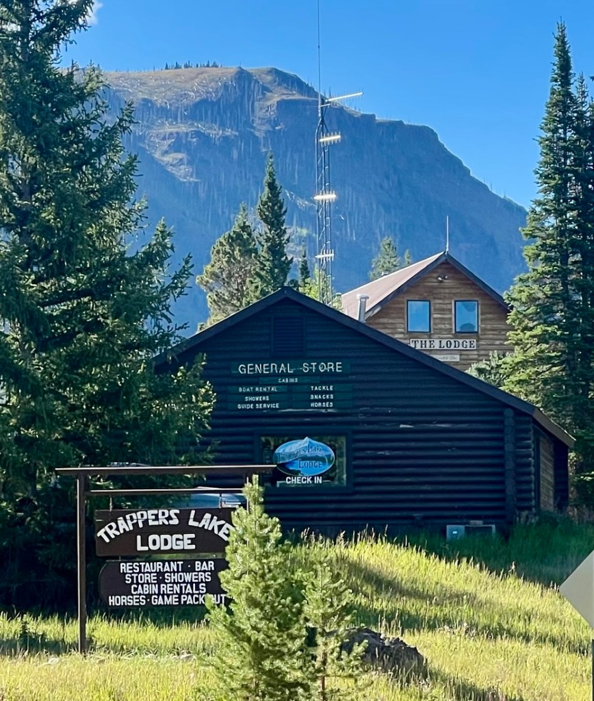
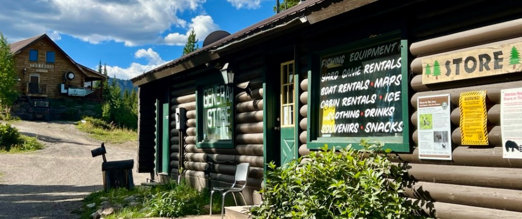
As we started a walk around Trappers Lake, we walked through a crowd of forty students from CU Boulder, the most “civilization” we had seen for four days, and we were happy to be heading back into the Wilderness. We followed the Carhart Trail, named after Arthur Carhart who inspired the concept of Wilderness preservation. And then we climbed 2,000ft back up onto the plateau.
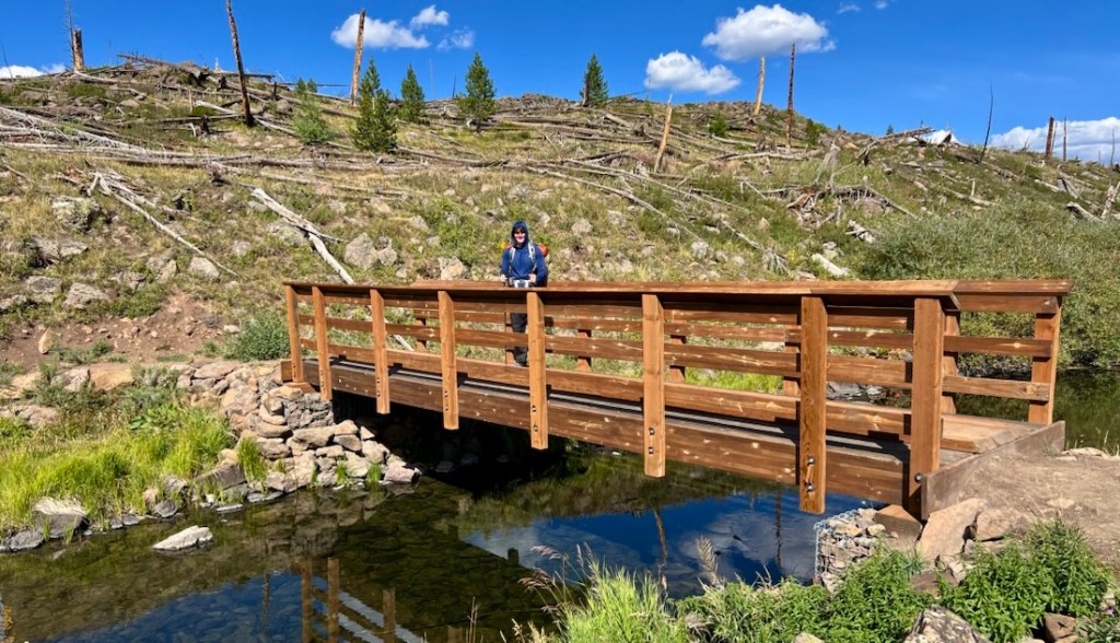
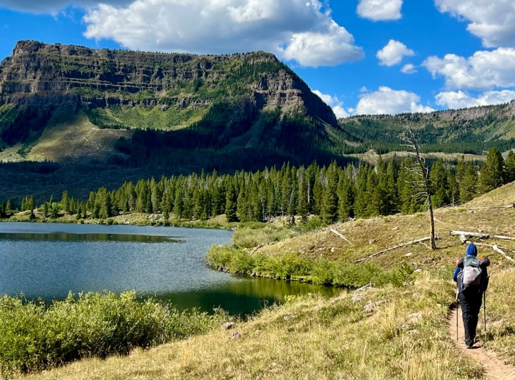
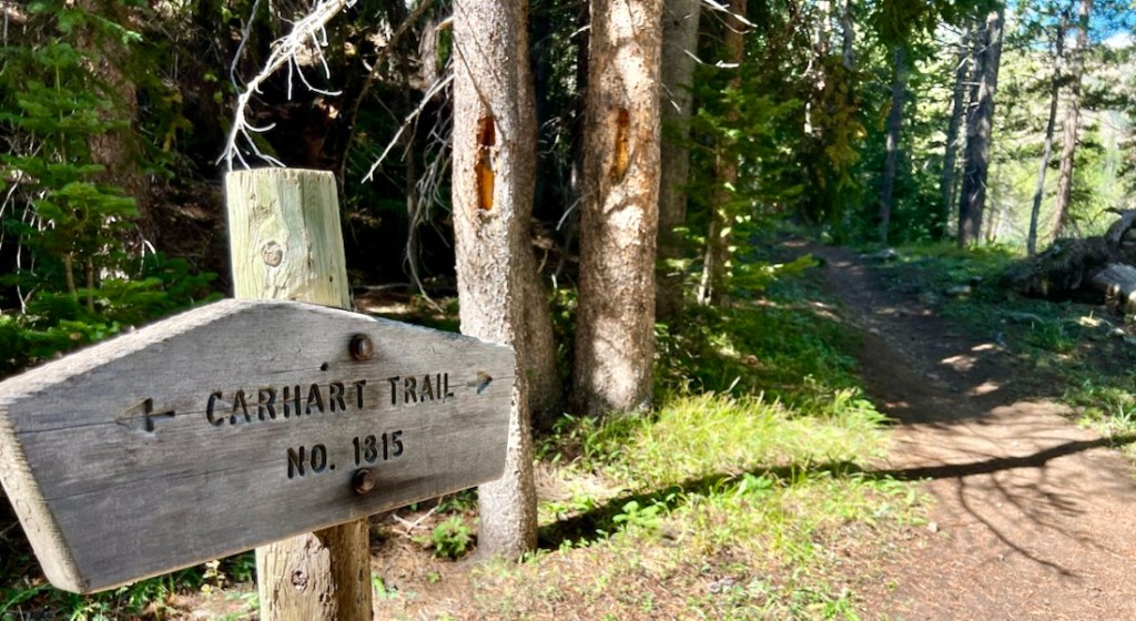
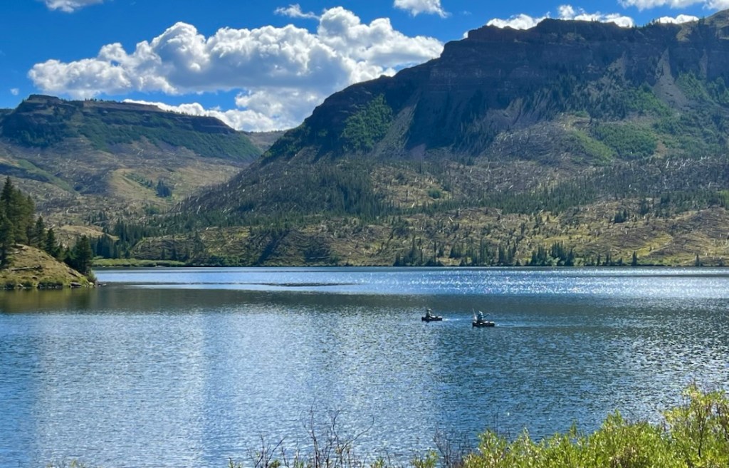
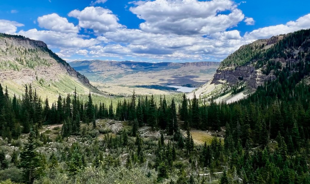
Wall Lake was nice enough. I appreciated soaking my foot-blister in the cool water. There were a few campsites around the lake, with one taken by a couple and their dog. We still had plenty of energy and time in the day, and could not see an appealing route up Trappers Peak, so we decided to keep hiking.
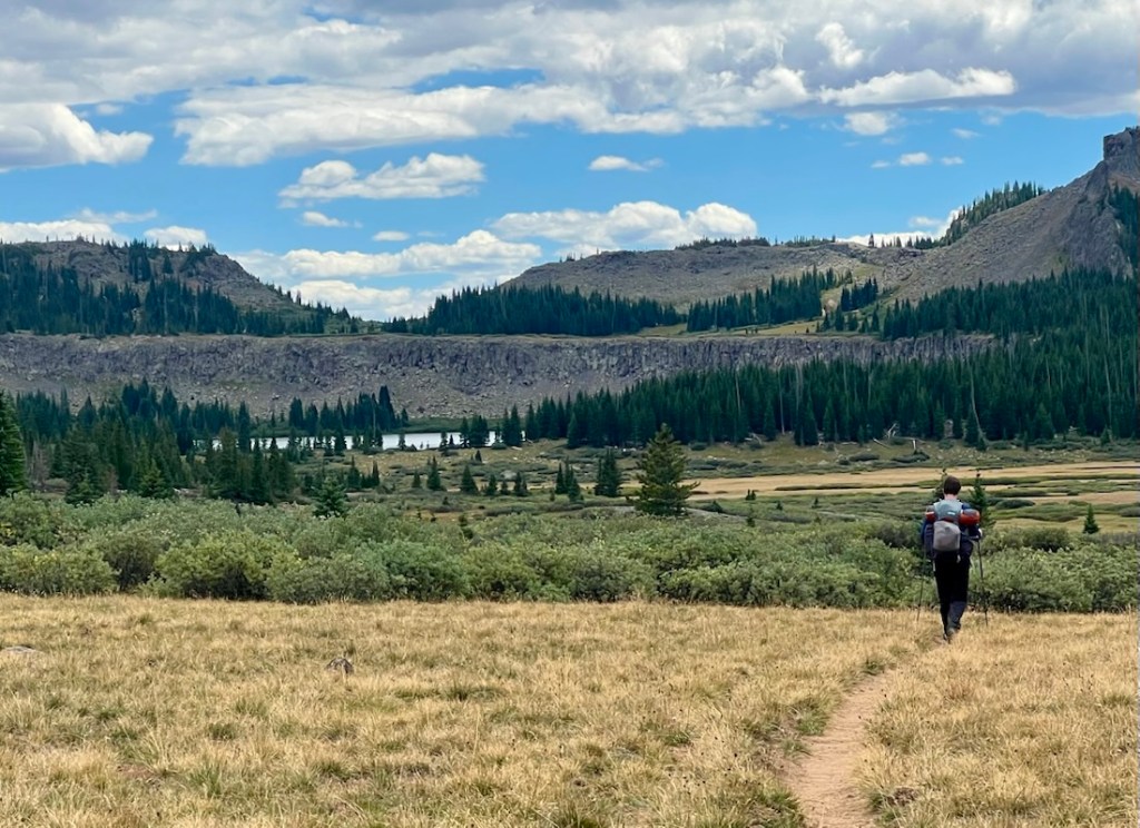
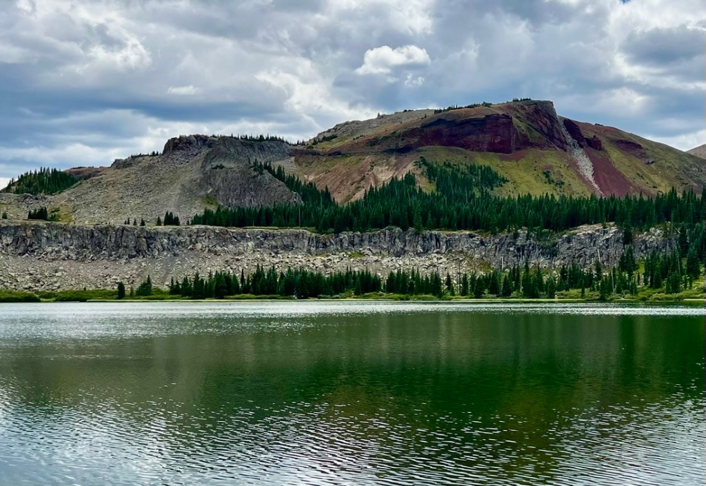
The trail continued being easy to walk on and we grabbed some water from a river. At the junction of Wall Lake and Trappers Lake Trails, my paper map showed a triangle of paths whereas AllTrails omitted the connector from Wall Lake Trail to southbound Trappers Lake Trail. We bushwhacked but were halted by a large pond created by a cool beaver dam, just before we joined the Trappers Lake Trail. We found a crossing point downstream and continued heading south.
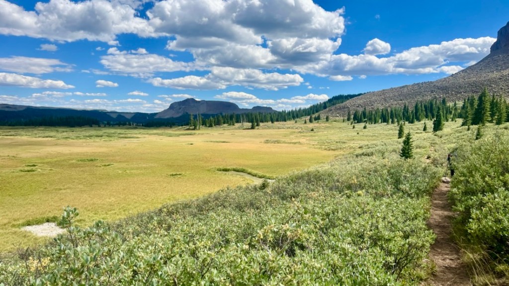
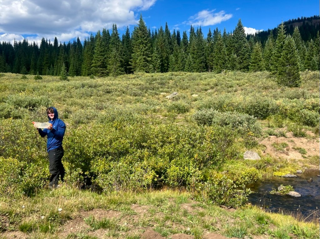
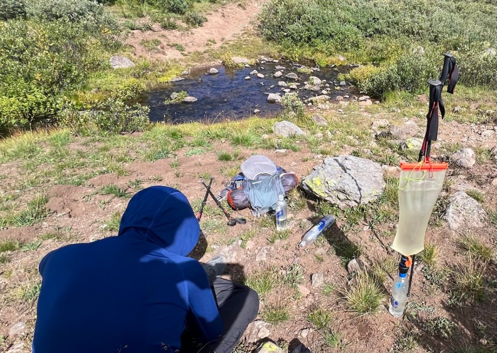
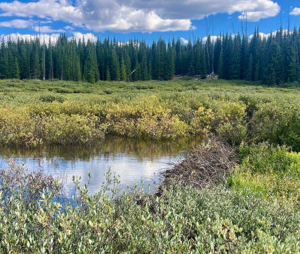
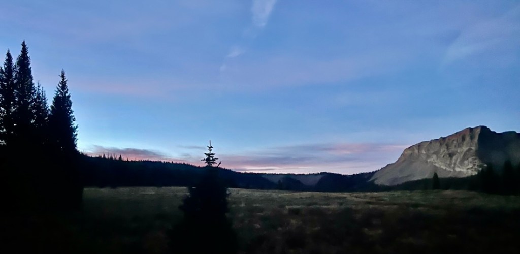
As we approached 13 miles for the day, we hunted for a great campsite. There was a good site in the trees, but it wasn’t quite flat, and we continued to the edge of a meadow which served us well. At sunset, we heard a shepherd on a horse yelling at his dogs and sheep in a distant meadow, wondering what would happen if he drove them into this meadow!
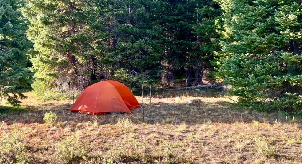
Day 5: 13.8 miles, 4,020ft Descent, on Rim Lake and Sweetwater Trails
The plan had been to camp at Rim Lake, where we filtered some water and ate our second breakfast with coffee. We did not see an obvious campground but we would likely have found something suitable if needed. The plan had us hiking out on the Luark and Shingle Peak Trails. This route remained high and dry with a last-minute steep descent to Hilltop Trailhead. We liked the look of the route along Rim Lake Trail that took us steeply down early, when our legs were fresh, and then followed the Sweetwater Creek valley. We were very happy with this decision, and the hike down Sweetwater was one of the trip’s highlights. The grade and good trail condition allowed us to high fast, averaging more than 2.5 mph, as we dreamed of a shower and a Texas Roadhouse steak dinner!
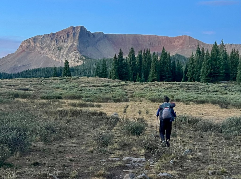
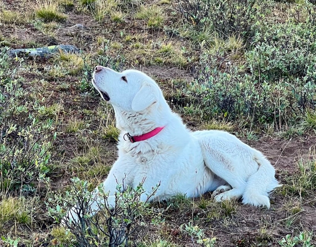
We woke before sunrise with outside temperatures around 42. We were hiking within an hour, and could feel the temperature drop significantly in cold spots, with the temperature dropping to 34! We crossed the meadow that the sheep had been driven through, and we were back on the tussocky grass and narrow path that had not been our favorite. The highlight of this first section was a sheepdog who looked like he had been left as the rearguard! He was very happy to see us, but would not interact.
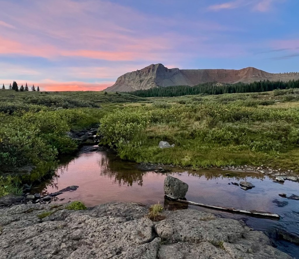
Rim Lake had some beautiful reflections and was convenient for our final water filtering. The map showed that Sweetwater Creek started by flowing out of the lake. The outflow was dry, but the river soon appeared at a great waterfall below the trail. There was a viable campsite and a way to climb down to the river. It would have been a fun campsite with a shower in the waterfall!
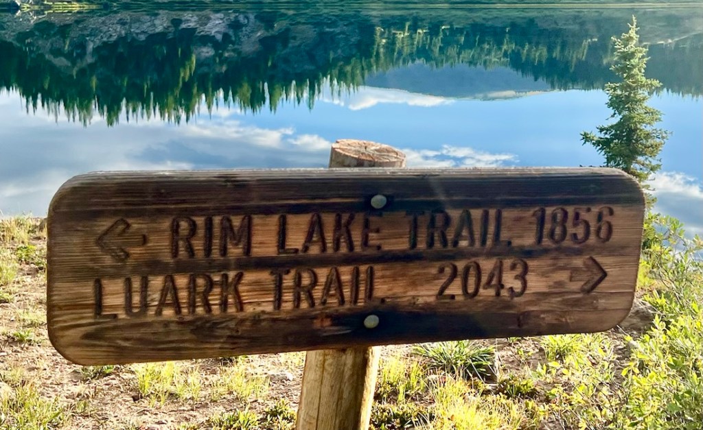
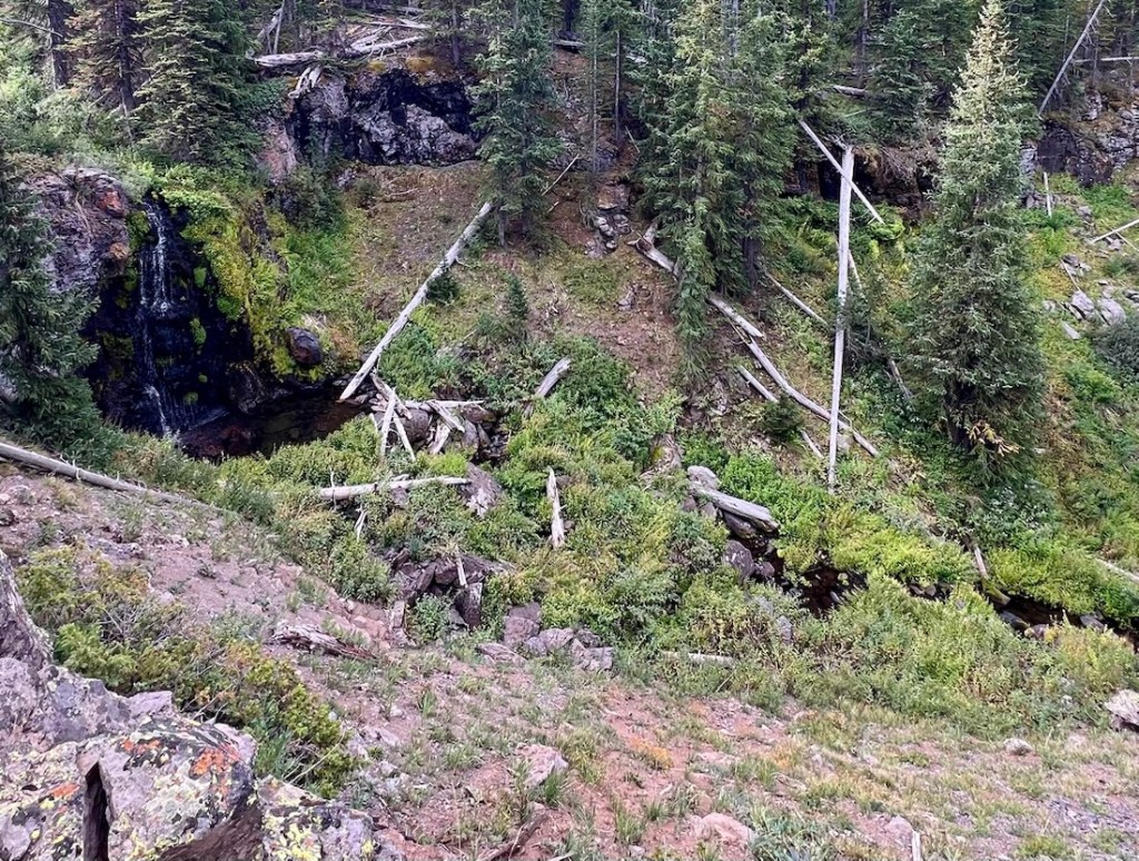
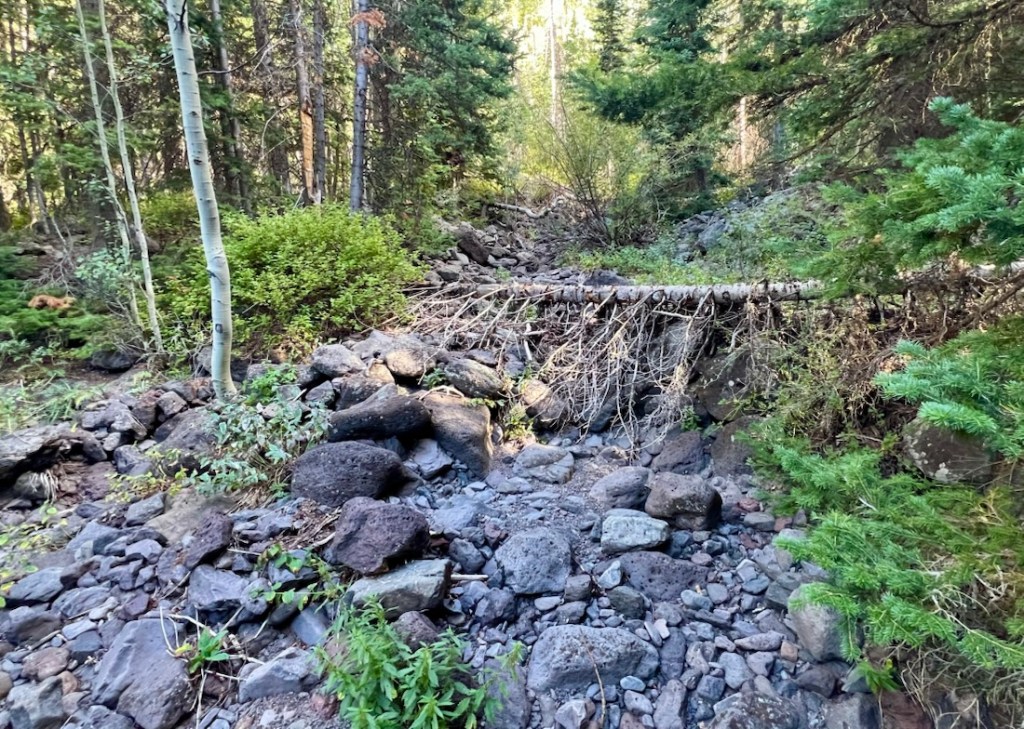
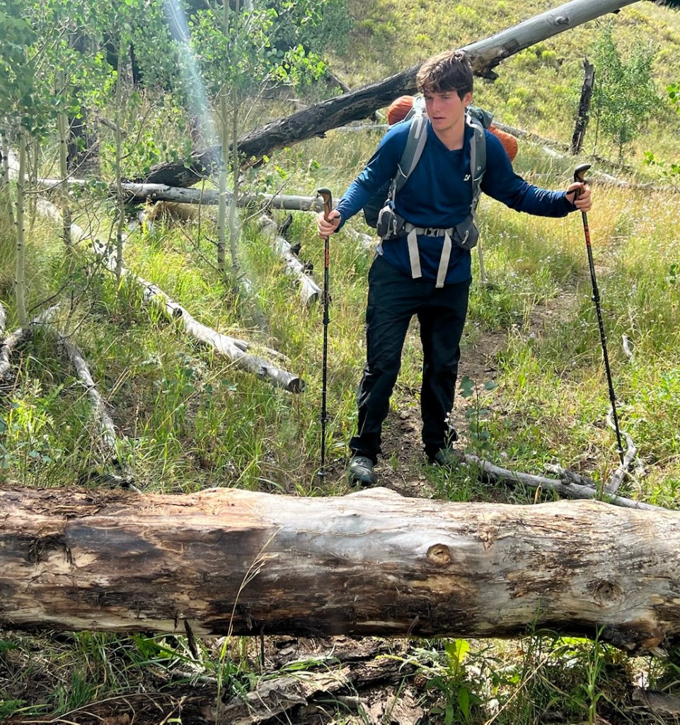
After the waterfall, we descended steeply and then enjoyed a fine hike out, across wet and dry rivers and grassy meadows. We found several fallen trees over this trail, the only trail obstacles that we had seen all trip, but there were some USFS personnel at the trailhead who said they would get it sorted.
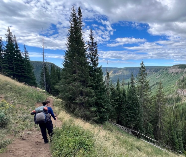
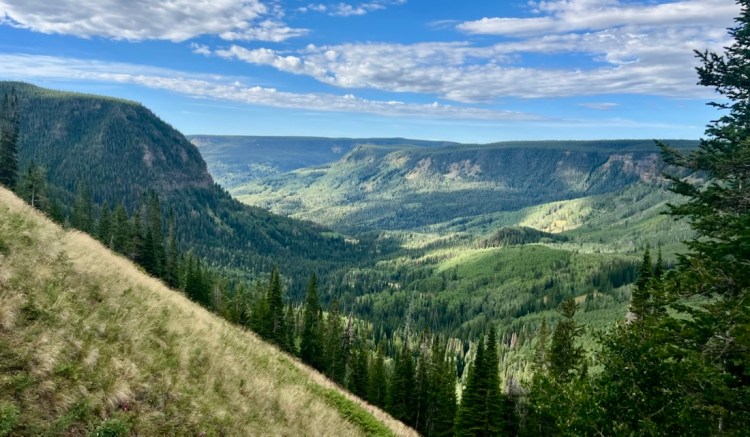
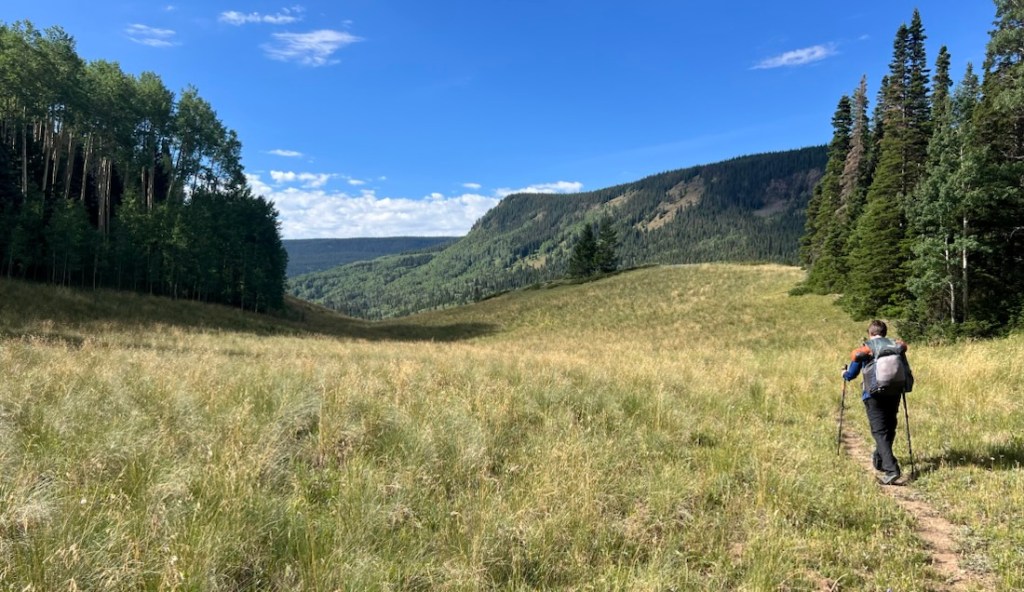
We were happy and sad on completing “the loop” when we rejoined our outward route. As we passed the horses, we thought that exploring the area for a couple of nights on horseback would be a lot of fun. It had been a very hot final walk out, and Samuel was exhausted when we finally reached the car. With him being so tired, I was even happier that I’d been able to keep up with him!
Reflections
It was a fantastic trip, and I can thank ChatGPT for leading us to this beautiful Wilderness. However, Samuel and I have been spoiled by our other adventures, and next time, I expect we will want to forego some of the solitude for more popular scenery.
The advertised highlights of Devil’s Causeway, Trappers Lake, and Wall Lake, were not our highlights. That might be because they were identified as highlights! If I had to identify highlights, they would be (1) the view down to Stillwater on Day 3, (2) the cold night by the pond on the plateau, (3) the fast hike down Sweetwater Trail, and (4) being in the Wilderness for five days with my son!
We were well prepared, though I could always be fitter, and would certainly like to lose 25 lbs, as then my pack would be as if it was nothing! With Samuel over 6 ft, we greatly appreciated the UL3 tent. We were ready for lots of rain but stayed mostly dry. We didn’t snack enough on the first two days, and then oversnacked on the third. We mostly drank enough water, but the hot days were a stretch.
Samuel marries Kylie in less than nine months, though Kylie assures me that she’ll want me to keep taking Samuel on these trips to get it out of his system, so she doesn’t have to do them! I won’t complain, and I am sure Kylie and Janet will have plenty of fun while Samuel and I get lost in the mountains. I remain very thankful that Samuel and I both love this activity, which is so well-suited for father-son hangout time.
Notes
During this trip, I took notes about gear and food. These are for my own benefit on future hikes, and I put them here so I can find them easily! They might be of interest as they were pertinent to hiking the Flat Tops.
Gear
- The new Big Agnes Copper Spur tent uses a new lighter, stronger, more waterproof material. However, it is also more slippery! On the first night, we both slid downhill, and the foot of my sleeping bag got wet with condensation from touching the end wall. We learned two things. First, I could wedge my backpack between the end of my Therm-a-Rest Neoloft pad and the tent, preventing downhill slippage. Also, we staked out two guylines at the bottom of the tent to keep the fly away from the inner tent.
- I need to get and use sungloves. Samuel just needs to remember to bring his! Our hiking hoodies did not have the hole in the sleeve for one’s thumb, so we struggled to keep our hands from getting sunburnt. Neither of us wants to backpack with suncream.
- I had an easy-to-read digital thermometer, which was so much better than an old-school analog one which was so difficult to read. I used it each morning for inside and outside readings, and inside the tent was typically 6 degrees warmer than outside. I was very happy to know how cold it was so I could assess my gear’s effectiveness.
- While I had tape in my first aid kit, I did not have blister bandaids (or Compeeds). I had chafing cream, in readiness for the rain. I had bandages that I probably should leave behind. I need to revisit my First Aid Kit. I need to bring Carmex or odor-free lipsalve. Should I bring Imodium? I pack for my worst fear….
- iPhones worked great. Samuel’s had satellite capability which was great for checking in, though it drained the battery and it wasn’t obvious how to turn off. I used an app called Alpine Mode which uses shortcuts to turn off all the battery drainers and is truly brilliant. I need fingerless sungloves so I can continue to use the iPhone for navigation and/or photos. Our InReach worked better than on previous trips and was useful for weather forecasts.
- We’ve previously tried sharing a spoon and mug. While sharing a spoon is fine for dinner, we need two spoons and mugs for coffee and oatmeal in the morning.
- I prefer ziplocks that you have to press closed rather than with the zipper, as the zipper can come off and isn’t always easy to get back on.
- I added a second stuffsack for clothes a year or so ago, but now feel that is just extra unnecessary weight and can stuff it all in one. Perhaps leaving the puffy out in a ziplock.
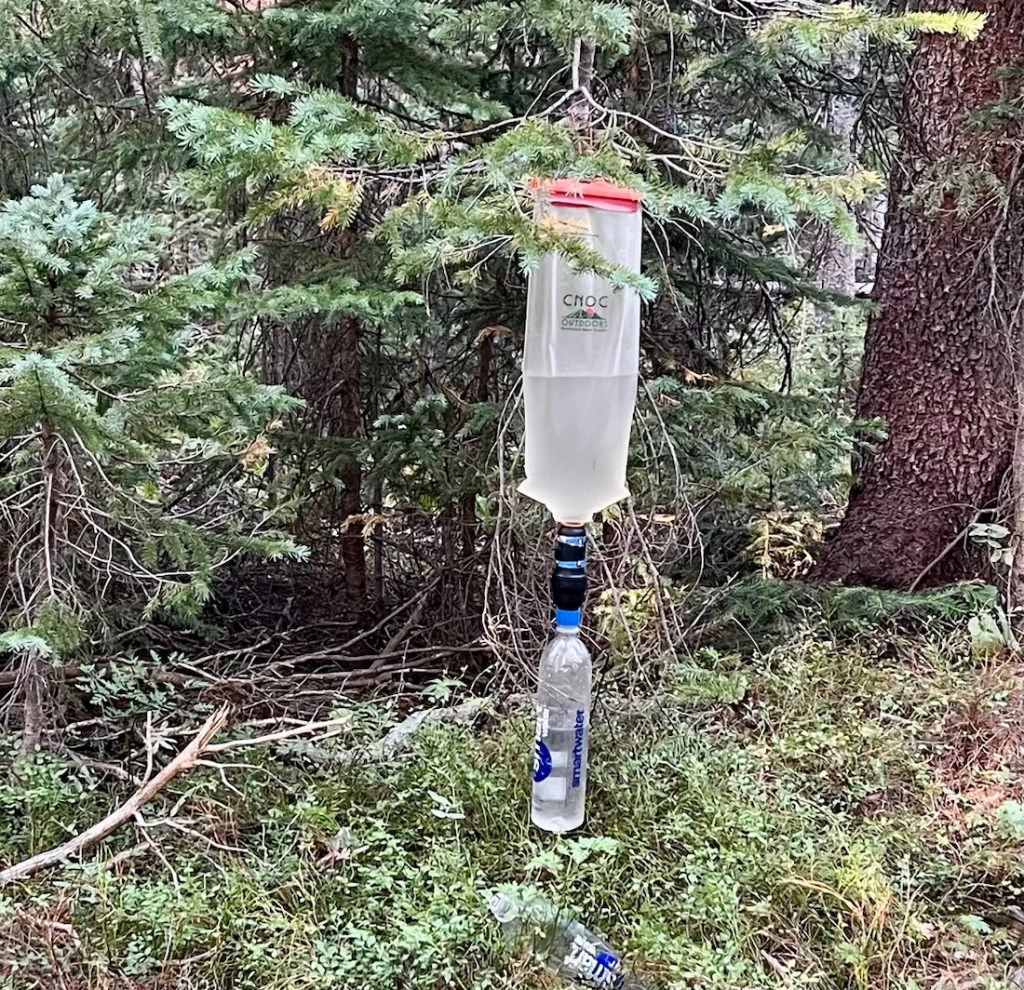
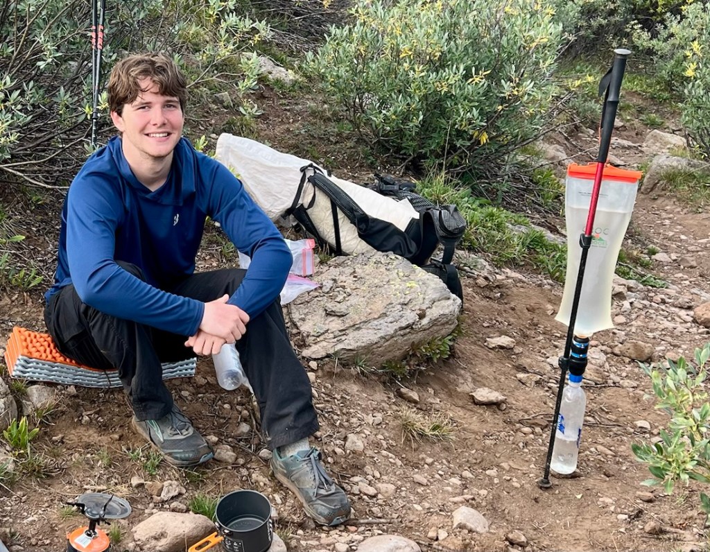
- Rigging the Sawyer Squeeze to filter with gravity on my hiking pole was a game changer. It’s worth bringing the syringe for backflushing rather than relying on a Smartwater bottle, as it is more effective, easier, uses less water, and is very little weight.
- Get new Darn Tough Socks! I did a free exchange of my two ten-year-old pairs at a store in Golden, and bought another two pairs. I’m unsure about whether sock liners are needed. I need to start lacing with the Heel Lock to avoid the blisters that I got.
- Create a better checklist for gear to have in a bag in the car at the end. Include wipes, water for washing, nuun, an ice chest, carmex, favorite food and drink, glasses-cleaning cloth, and non-melting deodorant! In addition to fresh clothes and a towel.
Food
- Be careful what you eat the morning of the hike. Something didn’t sit well, and it might have been the McD breakfast, coffee, or Janet’s sausage roll. The digestive system is going through a hiatus as we start hiking uphill at altitude.
- Honey Stinger fruit smoothie “gu-like” helped. I think simple carbs are important the first day, especially at altitude, though my Diamox works great too!
- Parmesan cheese with saltine crackers were great. I’d sliced a block of parmesan. The saltiness was great.
- Nuun and protein bars for when a day’s hiking is over were great. Samuel especially likes the mint. So do I! But, variety is king.
- Dehydrated meals: Peak 2 Chicken Alfredo Pasta was good, but could have used more salt. P2 tastes equally good as Mountain House, but the portions are so much bigger. Bag suggested 6oz of water, 8oz would have been better. Chicken Raman after the main course remains great. Mountain House Spag Bol was great. P2 Chicken and Rice was good but needed more like 10oz water than 8oz, and could use seasoning, salt, or Tony’s. P2 Beef Strog was great.
- Creamy chicken raman not as salty as regular chicken raman. We felt we did not need variety in our raman noodles!
- I tried to make an Apple Crumble, which was not great. Also, it was effort that I did not want to do. Need to try Janet’s premade brownies next time!
- Need a good plan for a compact trash bag as soon as we have trash! We used the sausage roll bag.
- Hot chocolate generally is not needed in the evening, but it always works well with coffee in the morning! Raisins are always good. Poptarts were a good alternative to oatmeal, and a great option for a quick start, with a coffee break and fuller breakfast after a couple of hours of hiking (Day 5)
- Good snacks included granola bar, pistachios, dried mango. Fritos great, but don’t go with BBQ for the backcountry – strong flavors like that don’t work. Three musketeers good chocolate and less messy than Milky Way/Snickers. Trailmix good. Samuel not keen on my cheese crackers. Watermelon Sour Patch kids great but we ate too many at once on Day 3 after insufficient snacking. Need to snack more often. Over-snacking put us off food. Need to try StroopWaffles!
- Getting going “with urgency” in the morning, one-hour or less after wakeup, is a great way to start the day and avoid faffing. Start the day with a cold snack like chocolate, trailmix, or a Pop Tart. Have coffee and oatmeal after a couple of hours when filtering water was efficient and uplifting.


What a spectacular trip! Awesome pics and great write-up. I wish we had expanses like this in the Mid-Atlantic, although Tom and I have managed to weave a fairly long spaghetti-like loop out of what we have available locally in the Appalachians.
My wife and I went out to Colorado early this summer for a whirlwind trip to see our daughter play in an orchestra in Breckenridge, where she was staked out for the whole summer. We rented a Jeep so we could do a mountain pass and a canyon trail while we were out there, but we didn’t stay long enough to adjust to the altitude so a hike was out of the question. Still, it was beautiful and we got to see a lot of gorgeous scenery from the Jeep. I wish I could have been totally immersed in it, as you and Samuel were on this trip.
Regarding the notes, I too have found Pop Tarts to be a great addition to my pack; however, I find that mine tend to crumble to dust by about the third day (they’re still tasty though)!
I learned a new word from reading this post: “faffing.” I need to start using that. My hindrance to getting going ASAP in the morning is generally the fact that I’m often up at first light, whereas Tom is not. I’ve learned to love that hour-long delay, sitting in my Chair Zero and enjoying my coffee while I wait for him to emerge from his tent!
Here’s to another season of father-son backpacking for us both 🙂
LikeLike
Scott – thanks for the detailed comment.
Regarding altitude. I came in from Houston at sea level, had one night in Golden/Denver at about 5000ft, and then headed out. I hydrate well. I used to get headaches. Now I take Diamox and have no symptoms other than being out of breath. My son doesn’t take meds and has always been fine. Each person is different. Your Breck adventure sounds like fun and we haven’t done anything like that. We’ve been attracted to isolation but am thinking we might go more touristy next time.
We find “faffing” a most appropriate term, and something we strive to avoid! We both feel satisfied when we don’t faff. Our morning routine used to be that I got up first, packed all my stuff up, and boiled water for breakfast. When I got out of the 2-man tent, Samuel would then pack his stuff up and the tent. In the UL3, there is room for both of us to pack up at the same time, but we need a reason to get going! I love being up for the sunrise.
This will probably be my last father-son hike for a while. However, his future wife is keen for us to continue our wild camping adventures, so she doesn’t have to 😊. In a couple of months, it should be cool enough here is Texas to start hiking again, but I do yearn to love closer to mountains, like in East Tennessee….
Take Care
LikeLiked by 1 person
Same here as far as coming into Denver. I had been to Denver on business with no ill effects despite a lot of walking around, but this time we ascended another 5,000-plus feet to Breck. I drank lots of water and when the expected headache didn’t materialize, I had a massive cheeseburger. That turned out to be not such a great idea, ha.
I enjoyed seeing that “faffing” is a British term; I have an old British sports car pushed into the corner of my garage awaiting time and money so I have come somewhat up to speed on British terms, particularly as they relate to old cars, and I have a set of spanners in the boot for when I need to lift the bonnet (and apparently now I would do so in order to faff)!
Your 60-mile log got me thinking, I need to do another big trip with Tom. The last “long” trip we took was for four days a couple of seasons ago. We have a lot to explore here in PA that we haven’t touched yet; we tend to stay close to home just because of school schedules and such, although as he gets out on his own I could see that changing. Neither my wife nor daughter is into backpacking, so I expect they are only too glad to have me go with Tom!
Take care and I hope you and Samuel can take another trip soon!
LikeLike
What a beautiful part of your country. You are very lucky! Mel
LikeLiked by 1 person