
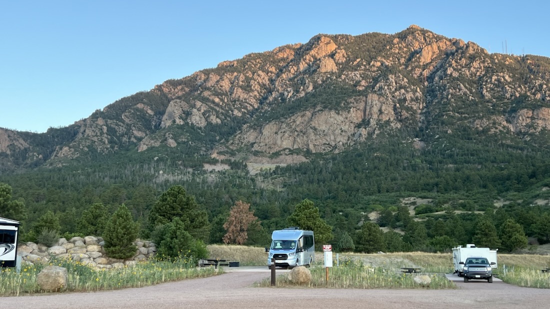
Odometer: 1,563 miles. Today: 110 miles.
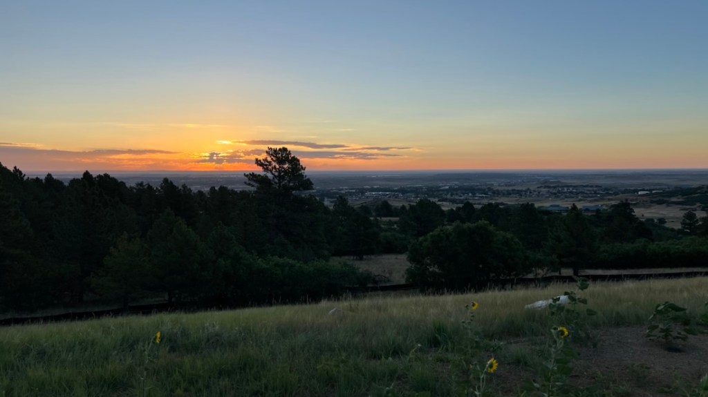
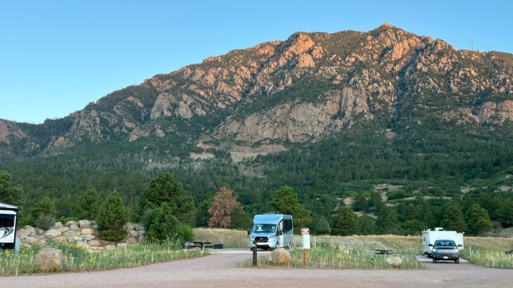
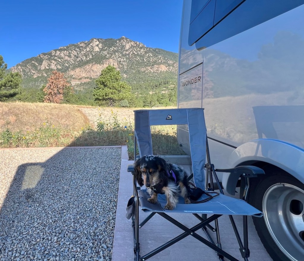
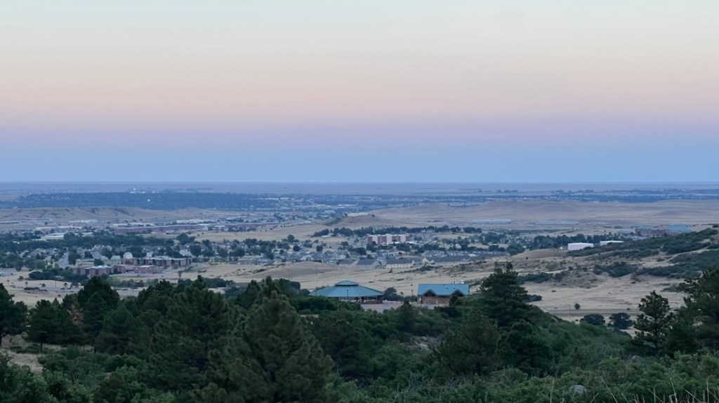
Just southwest of Colorado Springs is a fine-looking mountain with a state park. We spent much of our time here just enjoying the great views – both of the mountain and the plains below – before we learned what was actually inside this mountain!
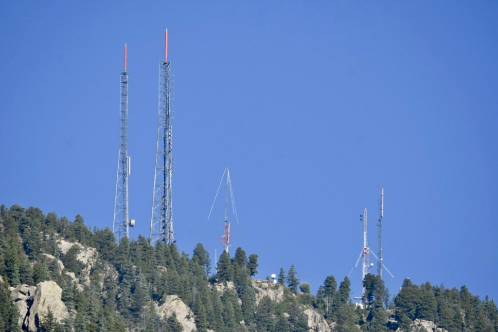
That night, we noticed some interesting lights behind us on the mountain.
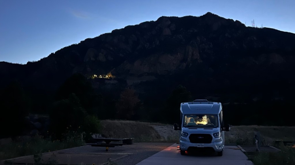
A bit of internet digging quickly revealed that this is the home of the Cheyenne Mountain Complex, the fortified headquarters of NORAD (North American Aerospace Defense Command). Its public website describes that it was built inside the mountain in 1967 to withstand any form of attack, including nuclear.
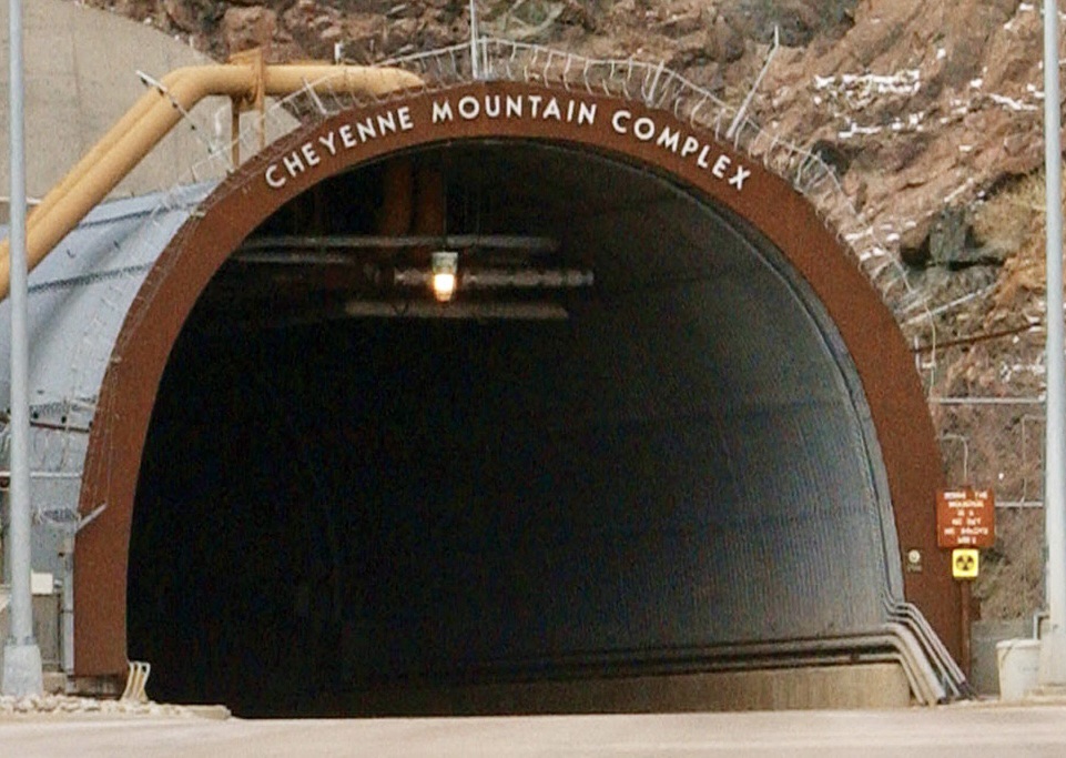
Street names on Google Maps were another clue – NORAD Rd and Aradcom Rd. Aradcom is the Army Air Defense command.
My buddy Max was based here when he served. Our campsite was less than a mile, as the crow flies, from the complex entrance, and Max assured me that mentioning his name at the gate would gain entrance. I thought about taking a more cautious approach by flying my drone for a quick peak, but my flying software immediately informed me that this was not a good idea either. Later, we saw a drone patrolling the area!
While I failed in photographing any of the birds flying past our site, my birding camera revealed little more of the complex.
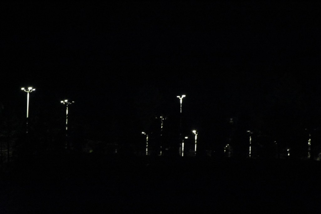
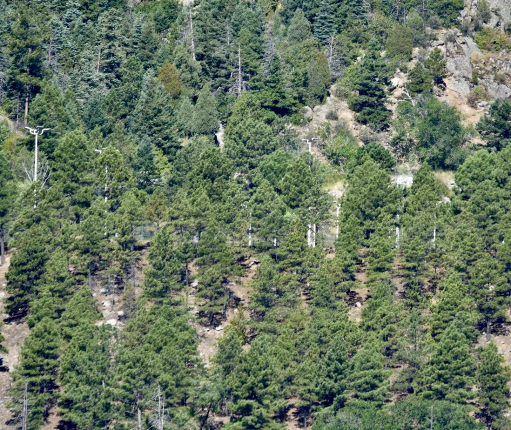
After a moment of concern about being close to a military target, Max assured me that we were probably in one of the safest places on the planet! So, we made the most of it, enjoying the cool morning weather and the surrounding views.
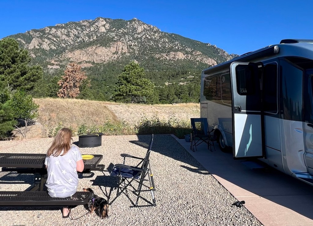
As we were packing up to leave at the designated time of noon, a bugle chorus from the valley below reminded us that we were late! The beautiful valley below was Fort Carson, the home of 26,000 soldiers. While the bugle was their mess call, it told us it was time to get on the road to our next adventure.
P.S. Janet had to correct how I said the name. It is pronounced shy-AN 😎.
 The Adventures of the Cajunlimeys