
With CW03 behind us, the biggest challenge had been accomplished. This day brought peaceful beauty and great variety:
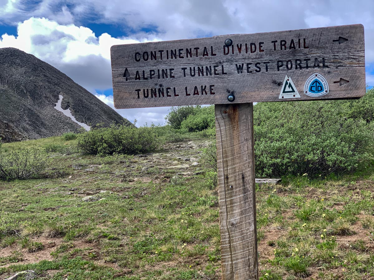
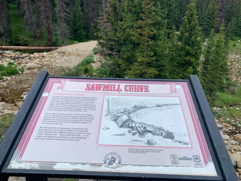
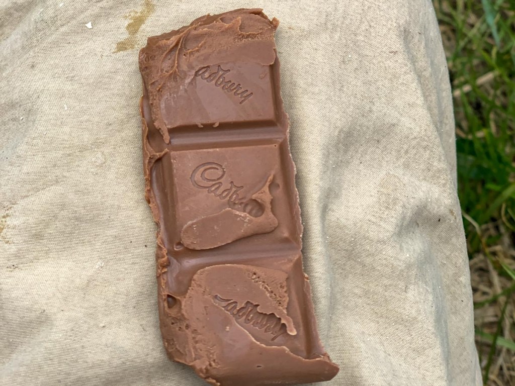
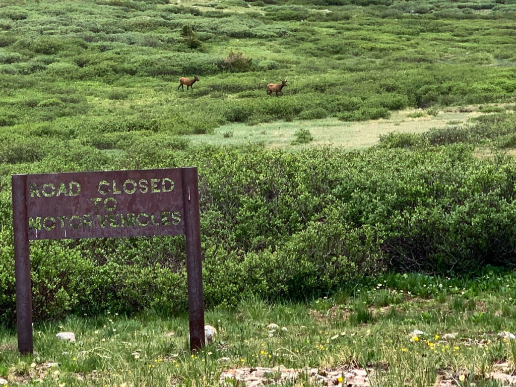
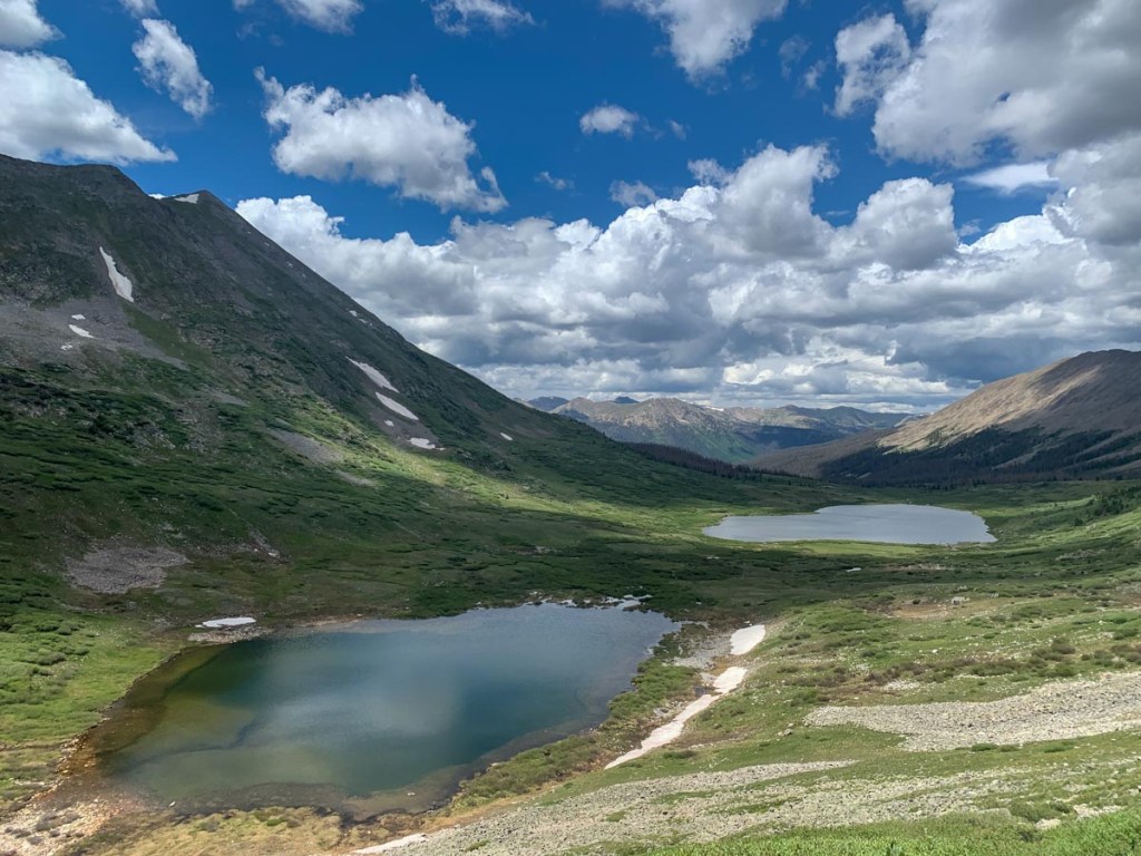
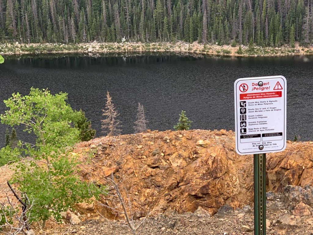
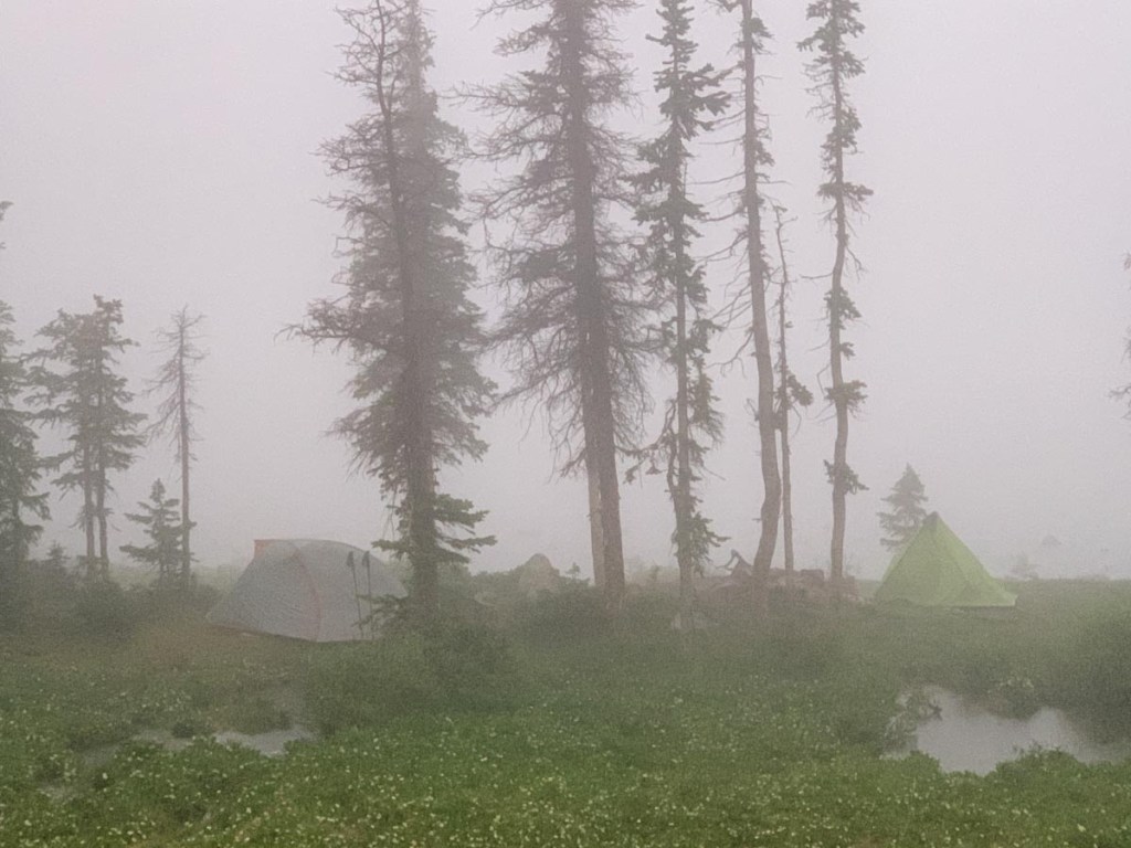
Difficult to get up at 5. Samuel has slept well while Peter had had a restless night. Fixed breakfast but the oatmeal is getting old. We’re all tired and slow but at least everything was dry this morning and it wasn’t too cold. We hit the trail at 7 and immediately climbed up switchbacks on the other side of the valley having to negotiate multiple fallen trees. We reached a high point by tunnel lake crossing a lot of open meadow and S saw an elk with Paul. We descended down to the abandoned railroad tunnel and enjoyed reading the history signs and then it was a strong 3 mile March along the old railway line with a slight downhill grade. We filled some water at a bend in the railroad which had caused derailments and S had a nosebleed. The trail headed along the road which was rocky at first and several 4 wheelers past us in what seemed like an organized tour. We followed the road all the way to the parking lot for Hancock Lakes where we enjoyed a long lunch of cheese and crackers and bacon and Cadburys and napped for 30 minutes on the soft grass. A couple with an elderly Labrador named Sam came by and strongly recommended Hunt Lake over Boss Lake which made us more determined to complete the longer hike. After our nap we continued walking past Upper Hancock Lake into a closed bowl of ridges. The path took us over Chalk Creek pass with some fabulous views. We descended down the other side but often the path had turned into a river and it was quite a challenge to keep feet dry. The path descended to a road but we took the path in the forest which was ok until we hit multiple landslides and a very unpleasant rock hopping trail. Later, we chose to take the road rather than the trail which just seemed to go up and down switchbacks for no good reason. We passed our approximate 7th CDTer of the day. We crossed a bridge over the big river and started a very very steep climb up to Boss Lake noticing that they had already started work on a reroute involving switchbacks. Having completed one of the steepest climbs of the trip we arrived at the dam at Boss Lake where we had a strong signal where we made phone calls and arranged a hotel for the following night. The path continued to rise steeply but we plodded on until we reached Hunt Lake and soon found a campsite on the edge noticing another group of people on the other side of this small lake. There was a beautiful reflection though it was short lived as the weather came down. We managed to get the tents up staying dry, doing what we needed to do, and wrapping everything up just before total darkness.
GPS Hiking stats:
16.92 miles, 8 hours 16 minutes.
Ascent 3536 ft., Descent 3270 ft.
Campsite altitude 11470 ft.


This page is linked to from my Collegiate Loop home page.
