

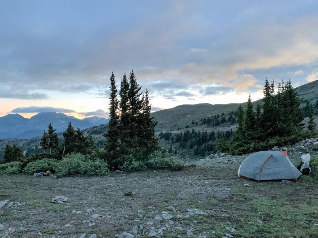
The night wasn’t as bad as it could have been. It stayed above freezing and the wind did not pick up. It felt like it would be quite exposed in high winds. So, the day had come when we spent the whole day above tree line. Woo hoo:
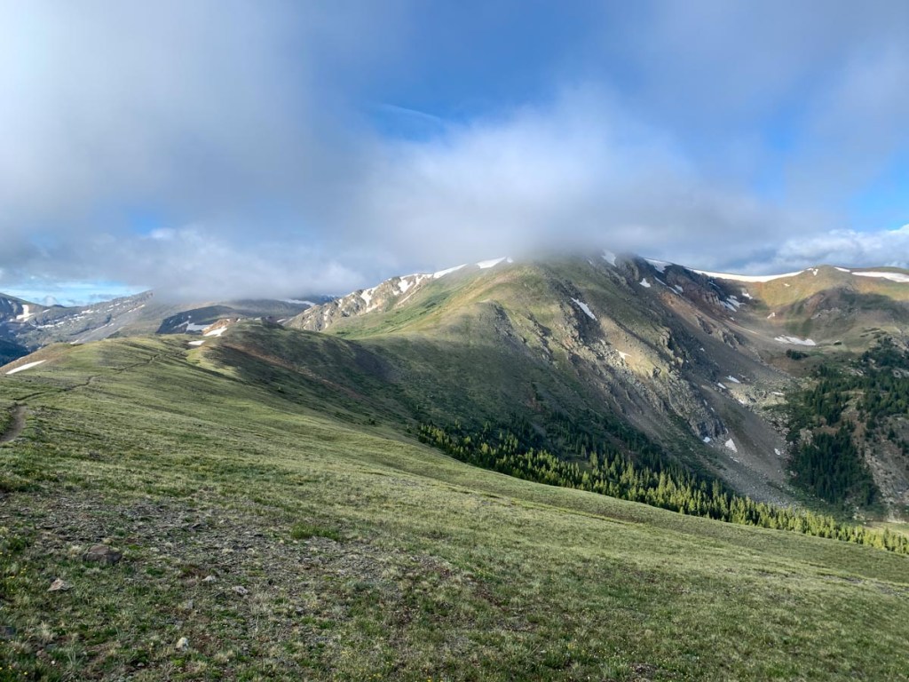
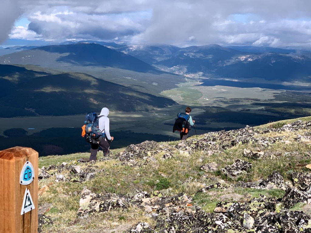
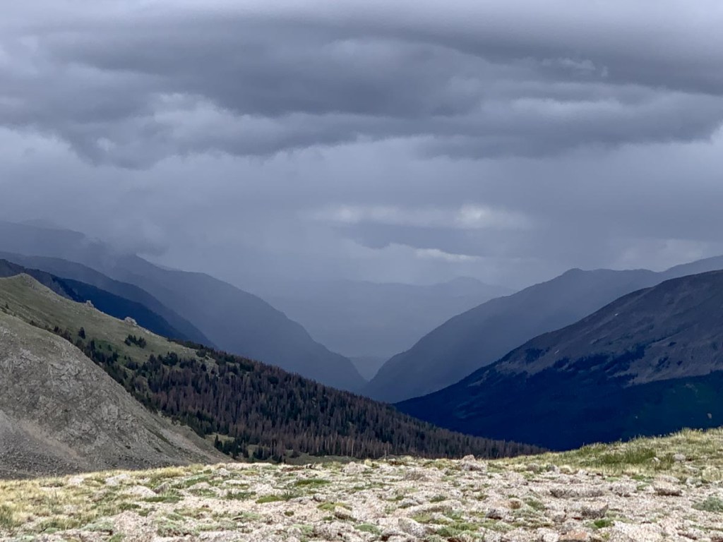
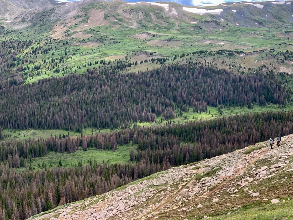
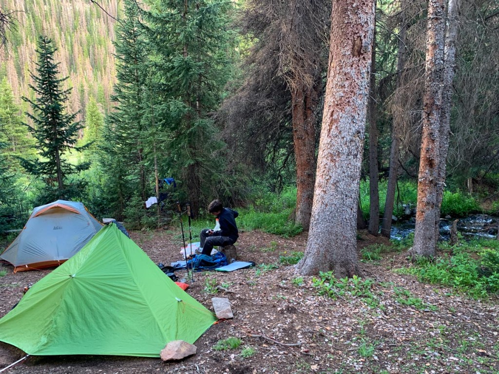
Up at 5. P got up at 1 am and the tent was in the clouds but he slept well after that. S had a relatively sleepless night so was very tired. Temps were very cold but above freezing but it didn’t feel too bad as there was no wind. Fixed breakfast while watching the sunrise catch some of the surrounding mountains and reflections in the lake. Started hiking at 6:45 and it was a long hike into the ridge above the campsite and we soon warmed up. After one mile we reached a high point overlooking Cottonwood Pass and there was a three sided wind shelter which helped us delayer. There was also cell service so we could catch up accordingly. We walked for another 4 miles above tree line and enjoyed the continuous endless views and hiked hard to get up to the Sanford saddle and continental divide at 12750 ft. Tremendous views looking back where we’d come from and it’s amazing how far we’ve come We look ahead, guessing where the next pass is. We hiked down reaching the next high point at mile 10 which was a ridge off Emma Burr mountain. We had seen maybe 10 CDT hikers. On many occasions had to carefully make our way through snow drifts which were both slippery and a risk of sinking. On the passes we also enjoyed a lot of our snacks. The weather forecast had indicated a higher chance of rain after 2 pm so we pushed on to get over the final pass at about 12 miles. Storm clouds gathered around us but never impacted us directly. We had some tough hiking through rock fields which we all struggled with but we made it to the final saddle by 3 pm. From there it was a 4 mile hike down a steep mountain to the North Fork Chalk Creek where we wisely used Guthook to find a very nice campsite in the trees by a stream. We were all exhausted and initially just collapsed but then got to work trying to dry out equipment and get organized. None of us had much of an appetite so we drank and had a few snacks and was in bed at about 8. It seemed warmer which makes sense as we are so much lower. We will see what tomorrow brings. The forecast is for similar weather. We’re all tired of the dehydrated dinners.
GPS Hiking stats:
16 miles, 7 hours 55 minutes
Ascent 3428 ft., Descent 4192 ft.
Campsite altitude 11030 ft.


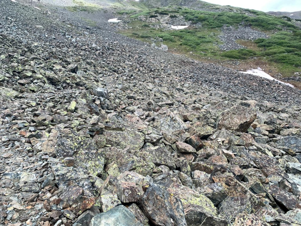
I generally followed Paul through snowdrifts, as his total weight (person plus pack) was more than mine :).

This page is linked to from my Collegiate Loop home page.
