
Today was about Lake Ann pass and getting ourselves staged for the 15 miles above tree line in CW03. It was always going to be a long, ambitious hike to get to Cottonwood Pass, but there isn’t much flexibility when doing CW. Here is how it went:
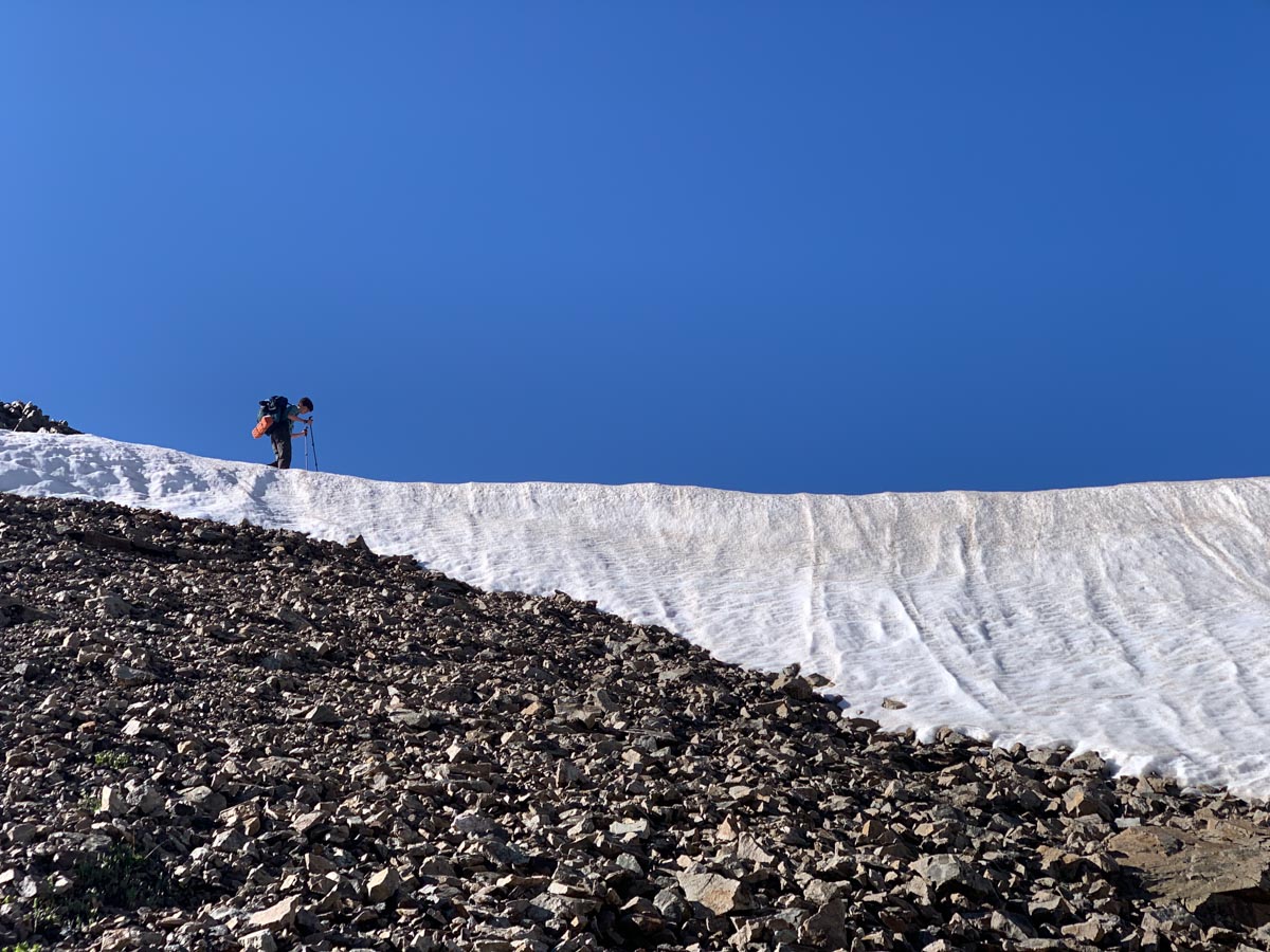
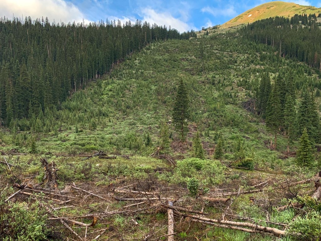
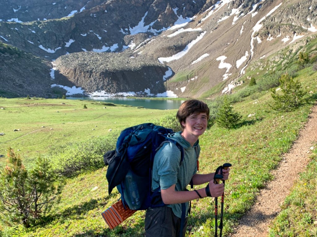
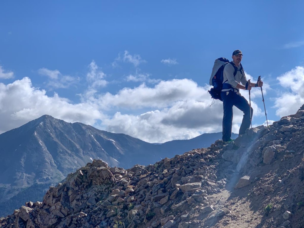
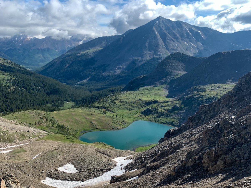
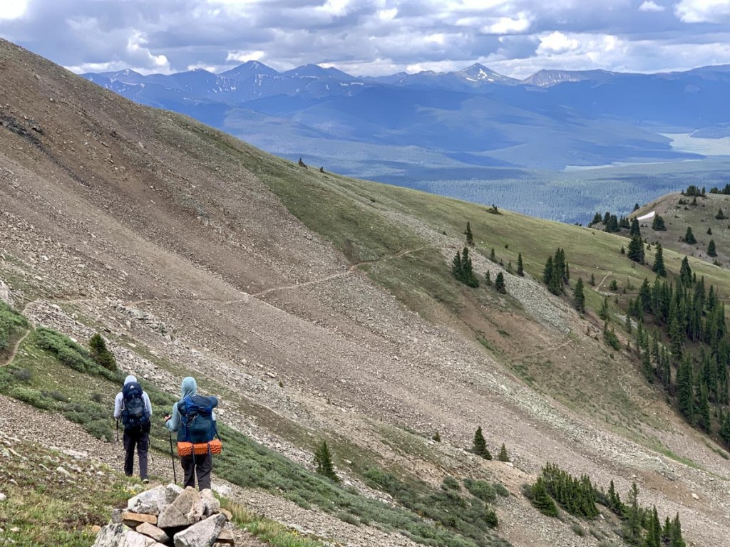
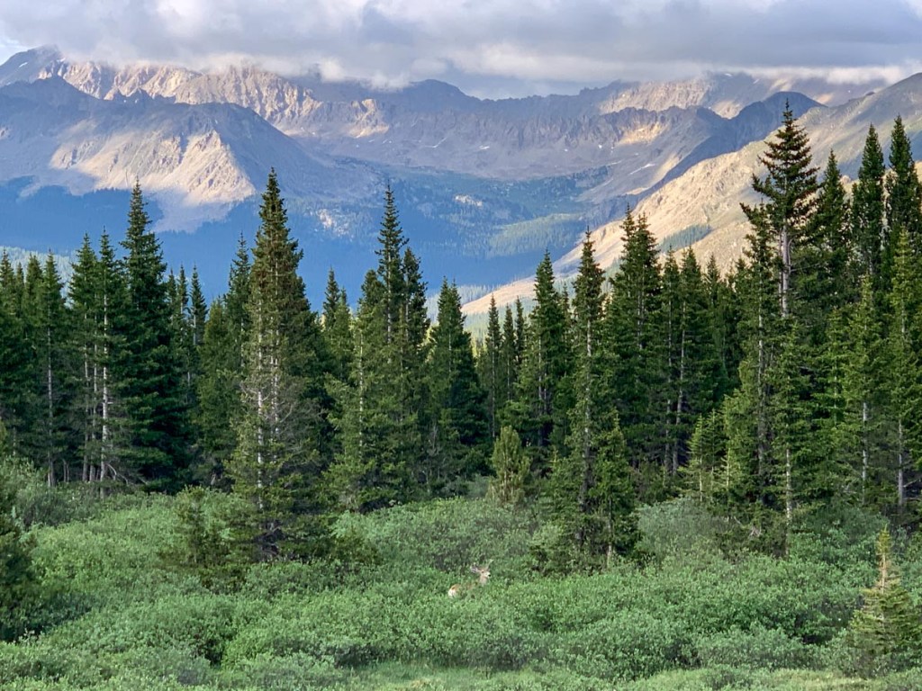
Up at 4:30 but with everything so wet it took us a while to get going and didn’t leave until 6:30. Hike up to Lake Ann pass passing a couple of other camps and scaring someone who was going to the toilet. (At one point, Paul spontaneously started yodeling joyfully, and you can imagine our surprise when a human being started running away from us, pulling up their pants! His camp was served by a different trail, and he had not realized how close he was to our trail…) We passed Lake Anne below the pass which was beautiful and carried on up to the saddle via very steep switchbacks and snowy cornice on top. We were first up for the day and spread out most of our stuff to dry in the warming sun. A couple of girls passed by making their own routes in the mountains and then the first CDT hiker passed heading north. After an hour of resting we started our descent but not before Paul ran up a point to chase the marmots. A pleasant path down the other side at one point achieving an 8:58 half mile and bumped into a steady stream of CDT hikers making 11 in all by the end of the day. Our progress felt slow and we felt tired but after the main descent from Lake Anne we continued on quite different terrain. At one point a group of 8 motorcycles sped by on the trail. We made it down to Texas Creek where we had to wade across before we cooked an early dinner and tried to rest before a 4.5 mile hike up to Cottonwood Pass for our campsite. After dinner Paul was struggling a bit so S and P went on ahead. P was struggling a bit after the spicy chicken curry but we managed to make good progress. The path was wet but we managed to avoid water mostly. As we came out of the tree line we were lucky enough to see a couple of female moose and a deer. Up and over the saddle and across the Cottonwood Pass parking lot and down to a small pond where we found the main viable camping area; while it was quite exposed it managed to provide some shelter for our tents. Paul arrived fairly soon after we set our tent up and was tired but well. Temperature still in the low 30’s and there is some wind and hopefully we will get some sleep.
GPS Hiking stats:
Distance = 19.54 miles, 10 hours 14 minutes
Ascent 5433 ft., Descent 3664 4262 ft.
Campsite altitude 12042 ft.


This page is linked to from my Collegiate Loop home page.
