
Our last day of the loop. The weather was kind, but an unexpected detour briefly dampened spirits. We were not going to let is get us down:
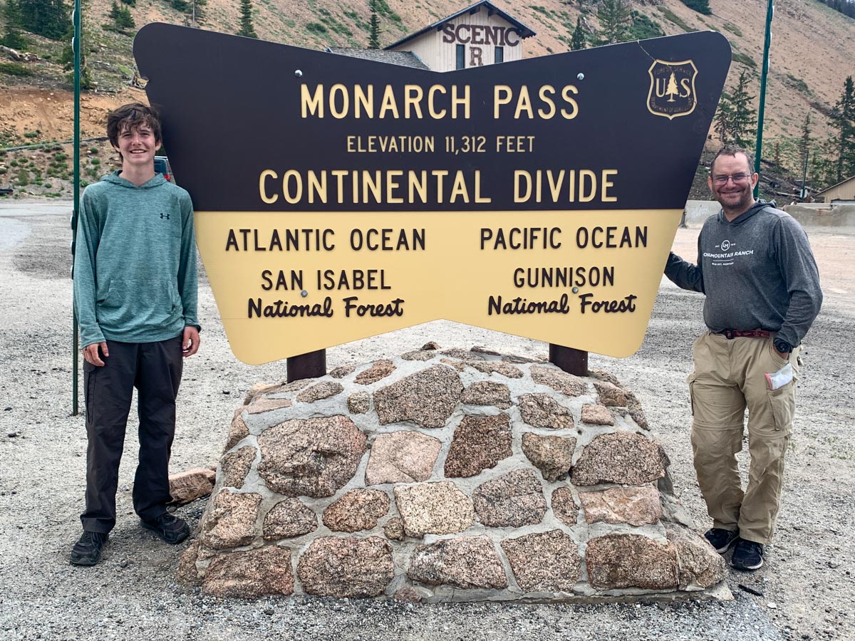
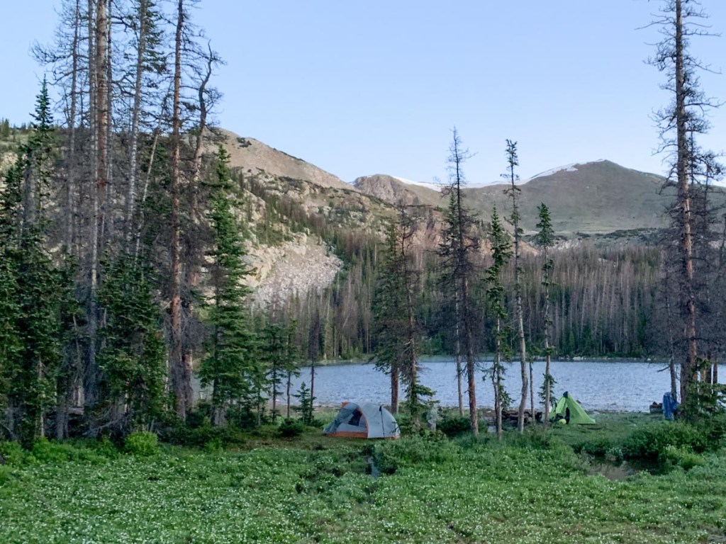
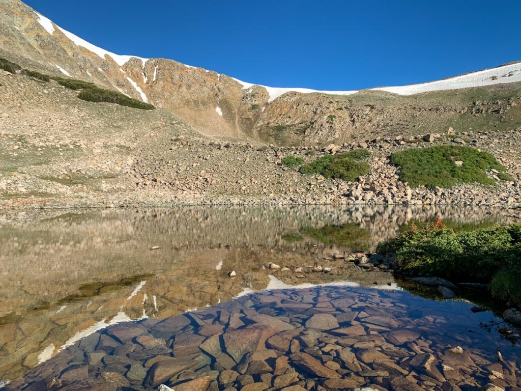
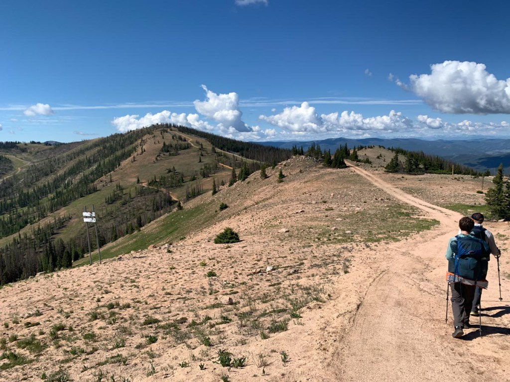
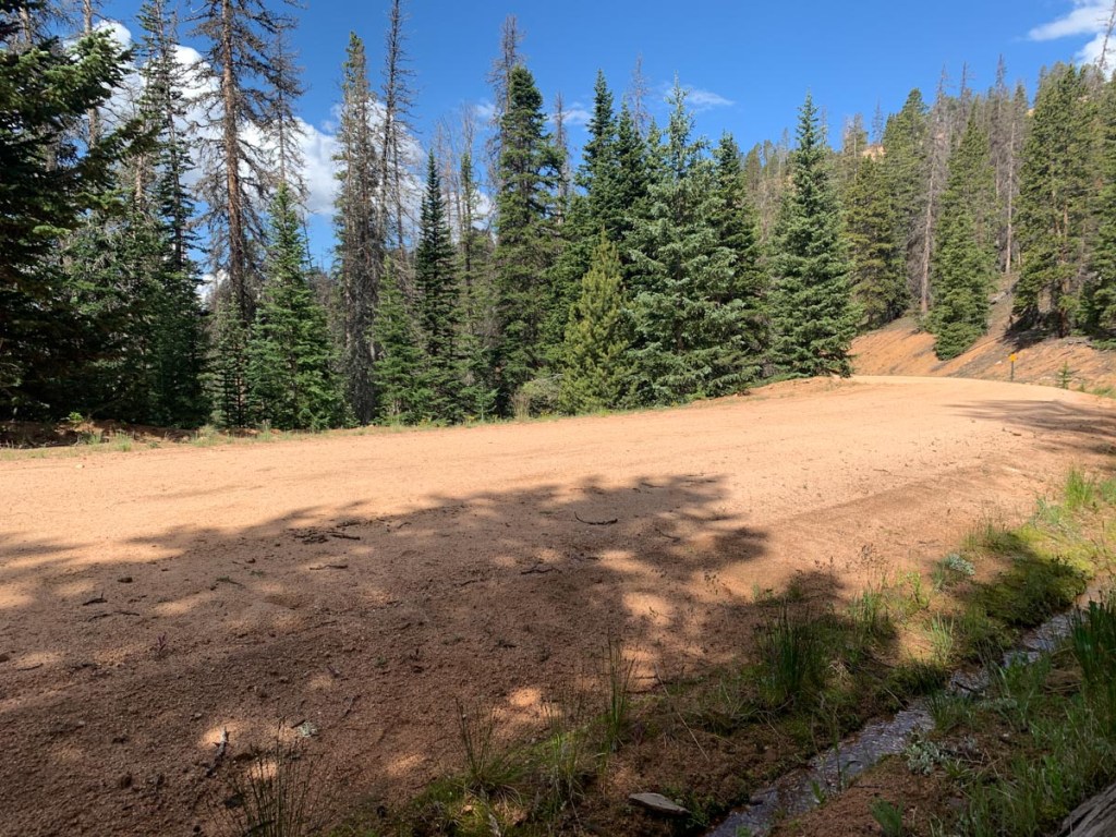
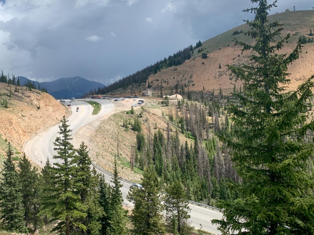
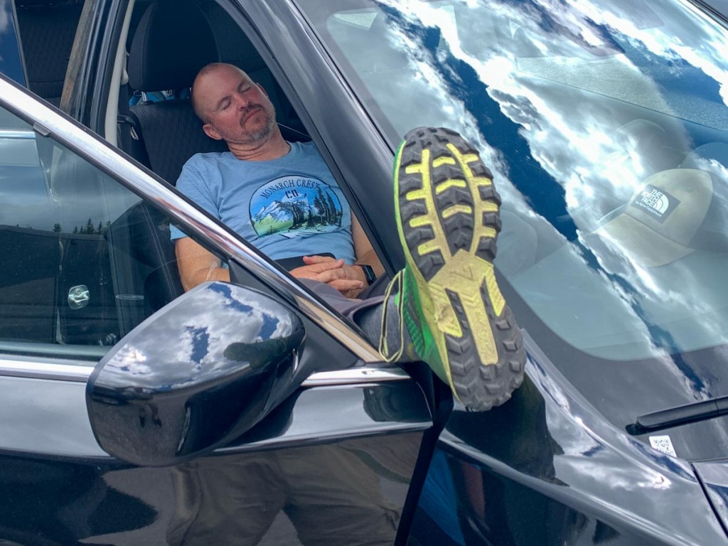
Up at 5. There had been beautiful stars and moon earlier. Tent was very wet but we packed everything up with a new energy knowing today was the last day on the trail. It was an uphill hike from the beginning and the views of the valley and the lake and the surrounding mountains opened up beautifully with some low cloud in a valley in the distance. A couple with a dog seemed to appear from no where and overtook us. P loved the dog booties. We reached the cairn which indicated the continental divide which was exciting and we could follow the trail more or less on the ridge for a few miles. The path turned to road and we passed some of the ski runs. Unfortunately we came to a barrier across the path saying no hikers due to forestry work and a detour that added 1.5 miles and 500 ft. Reluctantly we headed down the detour which went down the mountain and came back up on the old Monarch Pass road. After a short time on the road we had a snack break after which P was energized to help S get to monarch before noon. We marched all the way up the road and then moved onto the trail at the top where we could see the forestry operations. P continued to walk fast even with multiple rocks in his shoes. It was exciting when the monarch crest store was in site and we touched the car together before 11:30 to symbolize our completion of the loop. Paul arrived about 15 minutes later and we took the ceremonial photos by the Monarch Pass and Monarch trailhead signs followed by freshening up and buying some food and drink. We chatted for a while for some British women including one from Manchester who talked about having a picnic at Shap during air trials to watch the plains in the mountains. We dropped off Paul said our goodbyes and got to our hotel.
GPS Hiking stats:
9.9 miles, 3 hours 56 minutes
Ascent 2358 ft., Descent 2486 ft.


This page is linked to from my Collegiate Loop home page.
