
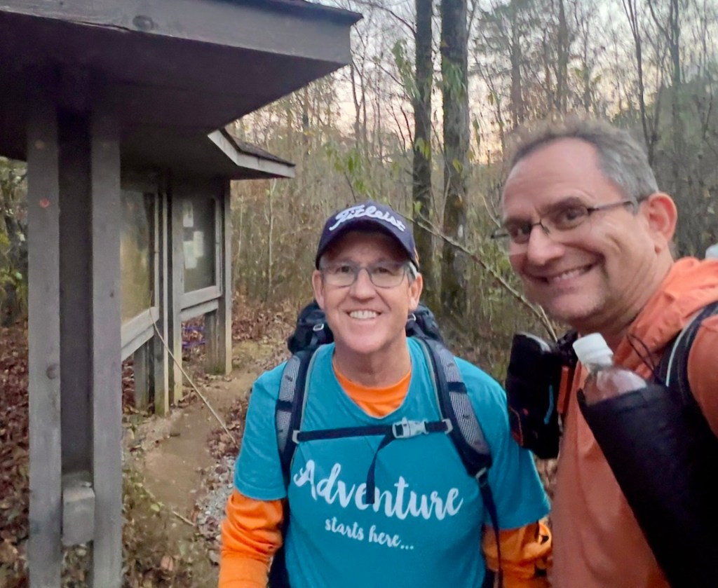
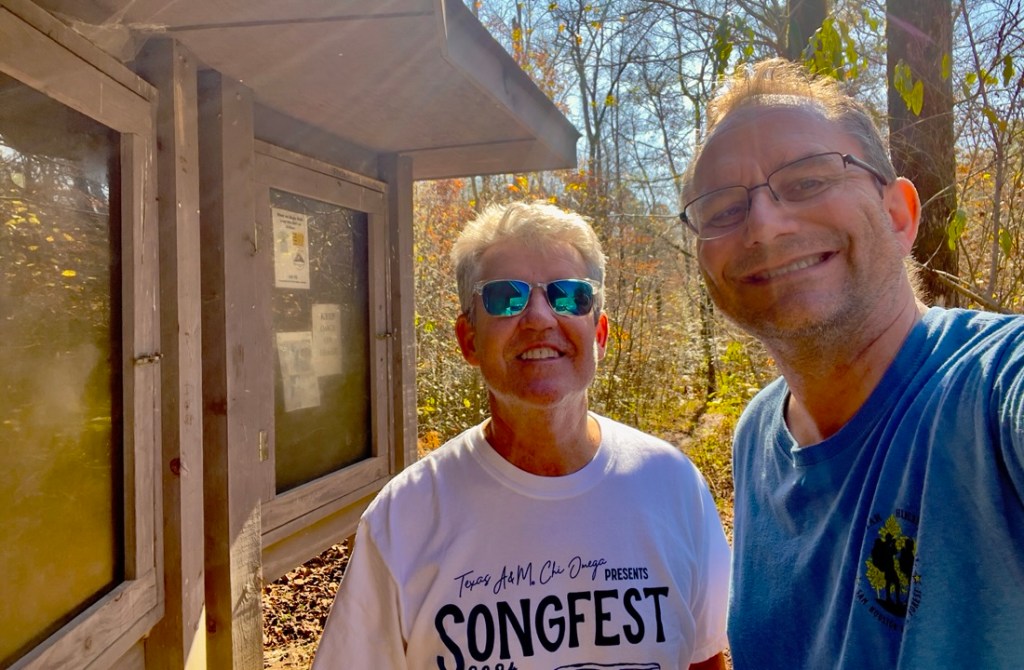
I returned to the Ouachita mountains from Nov 7-10 2024 with Vance, my buddy from leading our sons’ scout troop. The Eagle Rock Loop (ERL) was a step up from previous backpacking trips for Vance. The river levels were higher than my 2022 completion which triggered an alternate route to avoid the deeper Little Missouri crossings at Winding Stairs while including most of the sights and maintaining the distance and climbing challenge. (Read about my dry and cold 2022 hike of the ERL with Samuel here.)
Also, I have made a three-minute and an eleven-minute video of this trip, focusing on the experience for a first-timer.
Route Summary
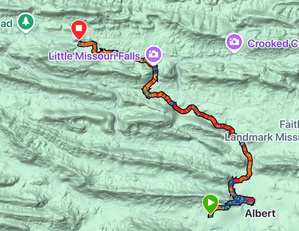
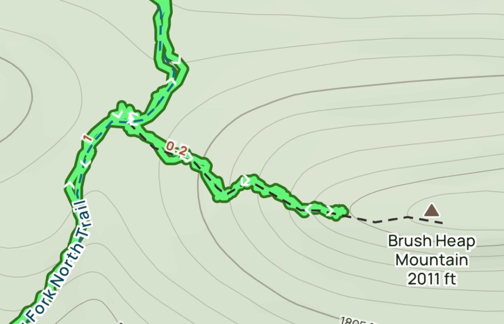
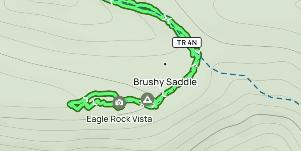
We hiked the loop counterclockwise (CCW) from Winding Stairs parking lot. We arrived about an hour before sunset on Thursday 7th and hiked in a bit less than a mile and camped. The next day, we hiked about 12 miles on the Little Missouri Trail, including a detour to Window Rock, to Albert Pike Recreation Area, the Little Missouri Falls, numerous up-to-knee-deep river crossings, and camped by the trail, two miles before the start of the Athens-Big Fork (ABF) Trail. After continuous rain all night and into the following day, we embraced the six climbs of Athens-Big Fork Trail (ABF), with detours to check out Spirit Rock Vista and the Brush Heap Mountain lookout. After multiple knee-deep river crossings, we filtered water in East Saline Creek, just before climbing the sixth hill and camped at Eagle Rock Vista. The following morning, we used ample phone signal to determine that the Little Missouri gauge at Langley was over 4.5 ft and dropping too slowly of us to cross the Little Missouri at Winding Stairs within our safety tolerance. After the mist cleared to allow a fine sunrise, we backtracked to Blaylock Creek and followed FS 106 back to our car.
Planning Suggestions
Hike your own hike. If you want advice about planning, below is how I like to approach maps, the hiking route and camping locations, and packing and weather for the ERL.
Maps
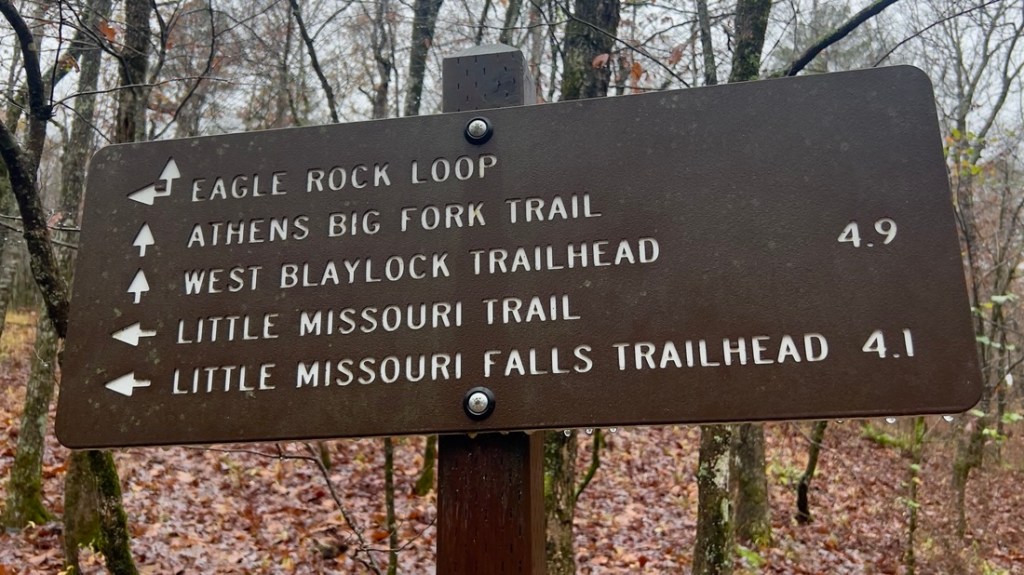
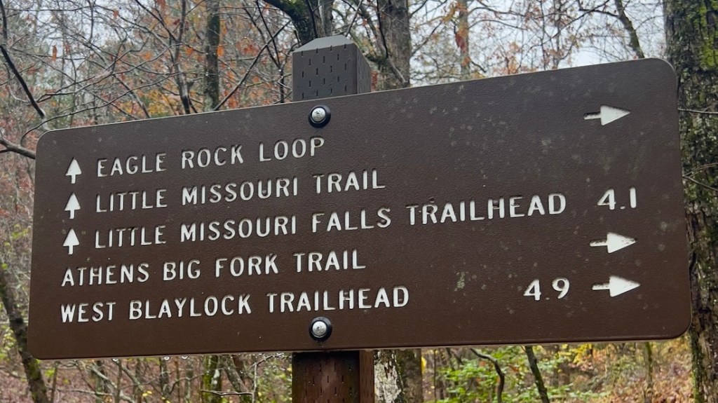
First, get a big picture of the location. It’s in southwest Arkansas, about 1.5 hours drive north of Texarkana.
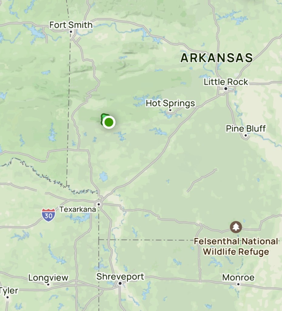
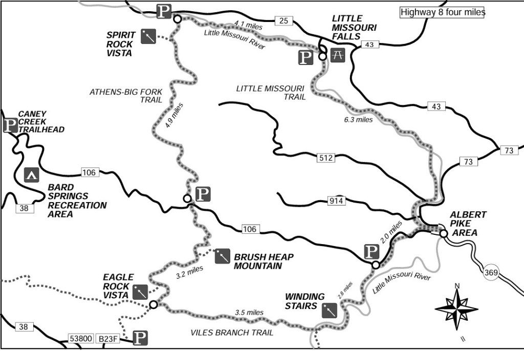
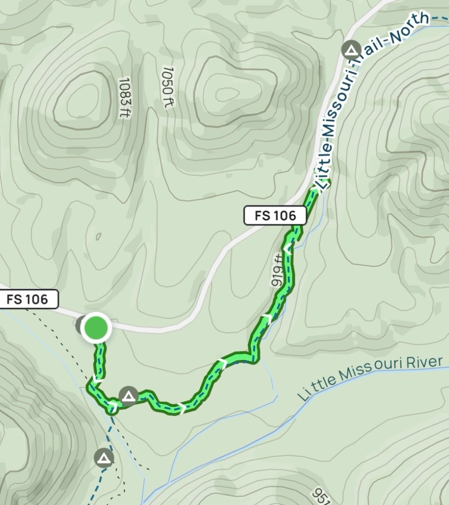
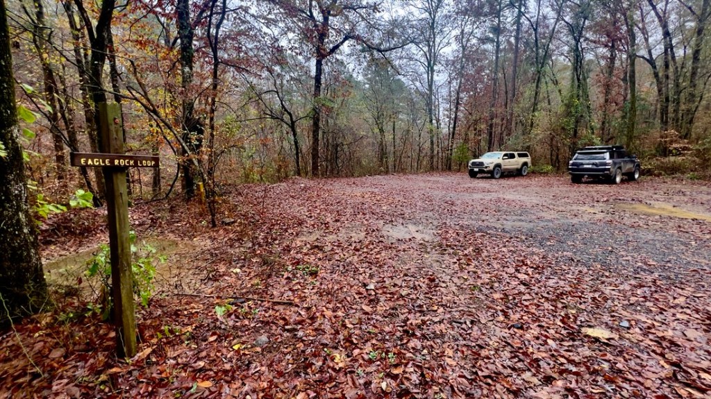
The map above shows the roads and main landmarks except Window Rock. My preferred parking and start point is the Winding Stairs parking which is the “P” between Winding Stairs and Albert Pike Area. Little Missouri Falls parking is also popular. The other “P”s are all viable starting points depending on preference, and I have spoken to hikers on trail who have started from each of them. Camping or parking overnight at the developed Albert Pike Area is forbidden due to a fatal flash flood on June 11, 2010.
Vance thought I was speaking a foreign language when I chatted to other hikers on-trail about landmarks and camping locations. Familiarity is wise.
For on-trail navigation, my go-to apps are FarOut and AllTrails. While both cost money, I’d argue that at least one of them is essential. (I have since found a possible free alternative on Avenza.) A GPS map shows you where you are. I take a paper map as a backup but haven’t used one on-trail for over a decade.
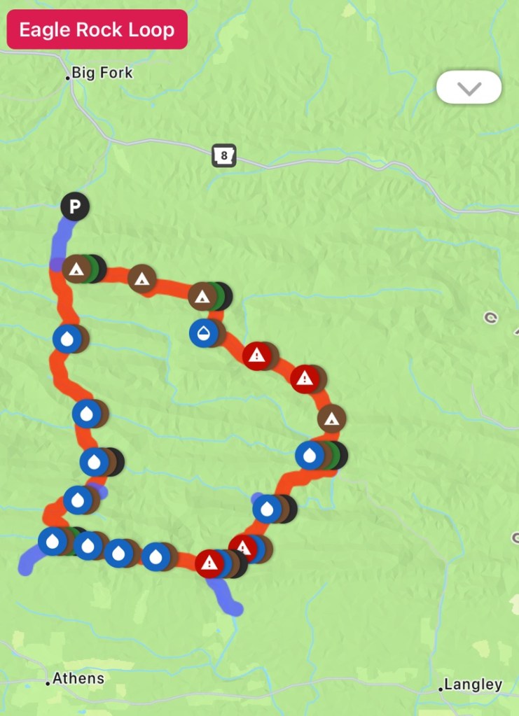

The green/black circle is the “start” of the CCW loop at the Winding Stairs parking lot and the yellow dots are waypoints mentioned in the app.

January 2026 update: when investigating why the link to the Forest Service map no longer worked, I found that there is now a free ERL map on Avenza. I have found Avenza maps to be excellent on the Lonestar Hiking Trail and Trail Between The Lakes, so this one is certainly worth checking out.
Route and Camping Plan
The decisions are (1) which start point and (2) which direction. You can decide to forego the loop for an out-and-back. You need to decide the number of nights on trail which ranges from zero to three. Most of these decisions are personal preference, often driven by whether to do the six hills of the ABF trail at the beginning, with fresh legs, or later, with a lighter pack having eaten some food. There is plentiful camping right next to the trail throughout the hike. The most scenic camping sites are probably in Winding Stairs and at Eagle Rock Vista, though alongside the river might be preferred for the sound and water convenience.
I like to start at Winding Stairs parking hiking CCW as it puts me at Eagle Rock Vista for my last night, though I miss out on Winding Stairs camping. This route also places the guaranteed-wet crossings on the last day, which was important for me in 2022 when we hiked in freezing temperatures.
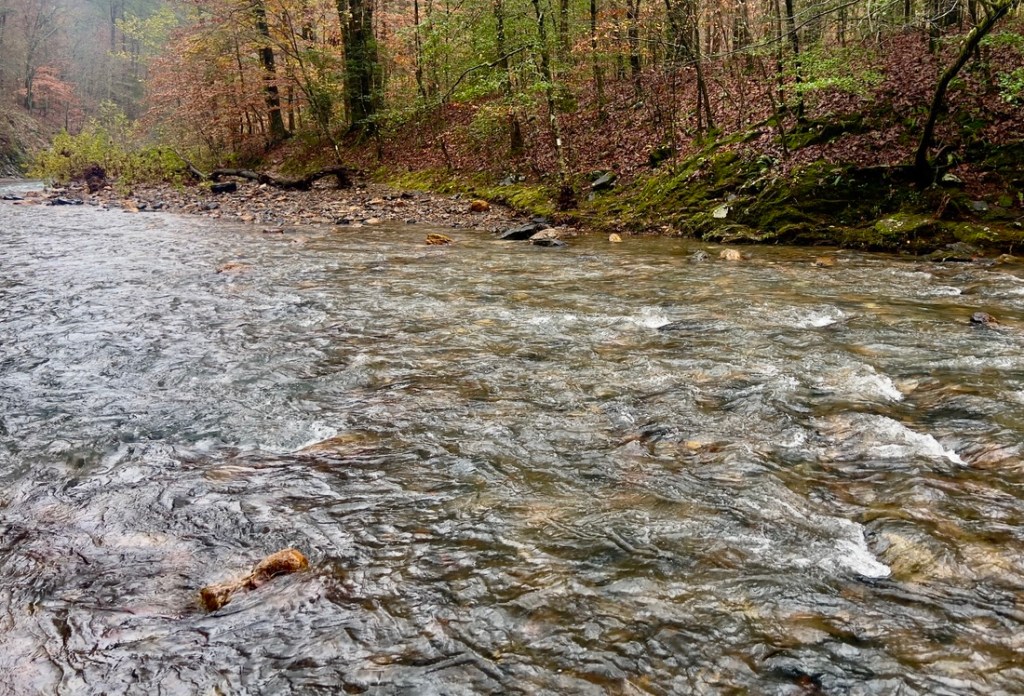
However, a key decision must wait until the time of the hike. In the ERL’s southeast corner around Winding Stairs, the trail crosses the Little Missouri twice. After rain, the river may be unsafe. The USGS Little Missouri gauge at Langley is the recognized reference with 4.5 ft seen as the maximum “safe” depth. This translates to approx 3 ft of moving water at the crossing. Such a crossing is easier for someone over six feet tall than for children, short adults, or dogs! Some view 4 ft as the safe gauge depth (about 2.5 ft at the crossing point). On this trip, I met a pair who had crossed with the gauge at 5 ft, with the water up to their stomachs, but one of them had guided groups through similar rivers in the Rockies and knew the correct technique.
For example, the screenshot below shows the river gauge, plotted with rainfall totals.

The vertical dotted line shows that the level crested during our hike (Nov 7th – 10th) at 5.05 ft at 10 am on Nov 9th. This is when the two people I mentioned above crossed it.
You can see how rainfall causes the river to rise very quickly and come back down again. The 8 in. of rain that fell between November 3rd and 5th was a lot and caused localized flooding, the impact of which we saw on our hike. A large amount of rain in the forecast makes it unwise to visit the area at all.
We started our hike on Nov 7th with the gauge a little above 4 ft, which we deemed safe. The forecast predicted a small amount (0.1 to 0.2 in.) of rain on the night of the 8th. Our final decision was whether to hike clockwise (CW) from Winding Stairs parking, crossing the river before the rain fell on the 8th, or continue CCW as planned, crossing on the 10th when the increase in depth due to a small amount of rain would be counterbalanced by the gradual decrease toward the seasonal low of 3.2 ft (gauge). We chose to stick with the CCW plan. However, the forecast was inaccurate, and over 1.5 in. of rain fell on the night of the 8th, making it 4.8 ft (gauge) on the morning of the 10th, requiring us to take the alternate route, that I had already researched.
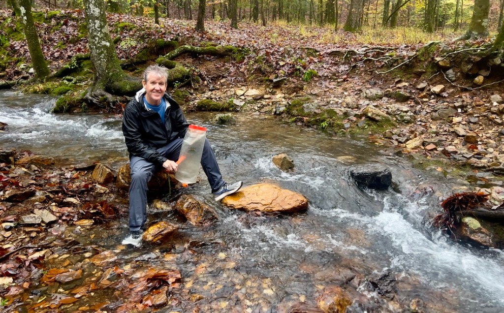
To help me make decisions on trail, I had prearranged my wife to send me the gauge level and trend each morning to my Garmin InReach. While the canopy prevented my InReach working on the morning of the 8th, her message on the morning of the 9th, after 12 hours of rain, was expected: “4.79 rising.” On some of the ABF peaks on the 9th and 10th, including Eagle Rock Vista, there was sufficient cellphone signal to check the gauge directly. You can also subscribe to email alerts. We could tell it would be over 4.5 ft all day on our final day, so chose to take the alternate route via FS106 and avoid the Winding Stairs crossings.
Packing and Weather
What and how to pack is beyond the scope of this post but I’m happy to share three thoughts.
The nearest towns for weather forecasts are Mena and Langley. The forecasted 60 degF was accurate, though the low rainfall was not. We also got rain in Houston this weekend when the forecast was 0% chance! I was underprepared for >12 hours of continuous rain as I chose to leave stuff behind to save weight.
If the ERL is a step up in your hiking game, work hard to keep your pack weight low. The hills are tough. Less than 30 lbs total weight is a fair guide though “it depends” on many things.
Finally, one strategic decision is footwear and your river crossing strategy. Are you going to wear boots and change into river shoes whenever a crossing is too deep, or wear trailrunners/sneakers/sandals and barely break stride at a river. The river levels during our trip (4.0 – 5.0 ft gauge) meant we waded through rivers deeper than our shins at least once each day, and about ten times on the Little Missouri Trail. We passed groups that were changing in and out of boots each time, which lengthened their hiking days significantly. Others hiked the hills in crocs. When I hiked the loop in 2022, the gauge was at the seasonal low of 3.2 ft and we were able to keep our trailrunners dry at all crossings except the two big ones at Winding Stairs. I avoid hiking in boots anyway but the gauge might impact this decision. One mistake I made though was not tightening my wet shoelaces sufficiently for the downhills, resulting in a painful black toenail.
Our Trip
Day 0: Winding Stairs Parking
I number this “zero” as this day’s hike is very short. In 2022, we stayed in a Texarkana hotel for the equivalent night.
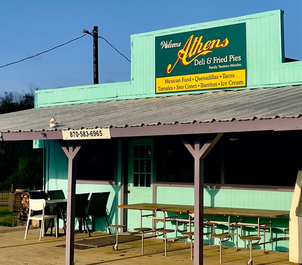
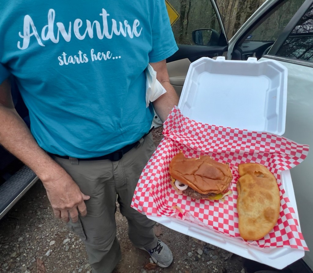
We drove in from Houston (6.5 hours) and enjoyed fine burgers and pies from Jaden at the Athens Deli and Fried Pies. If you visit, say hi from the two crazy hikers from Houston!
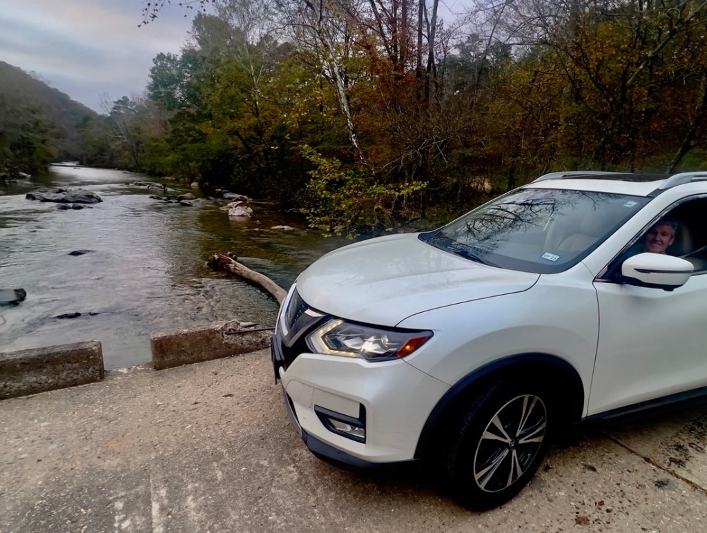
I wanted to arrive in daylight, and was thankful for this when we crossed the Little Missouri at Albert Pike.
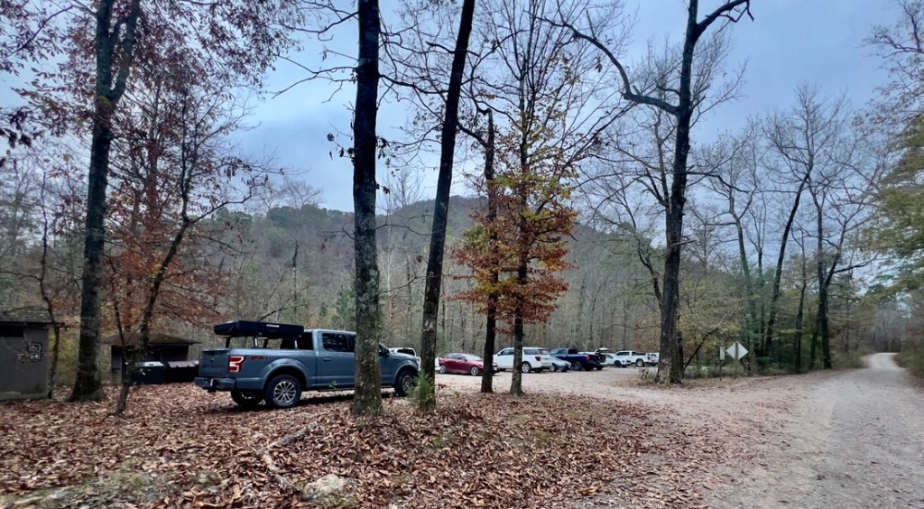
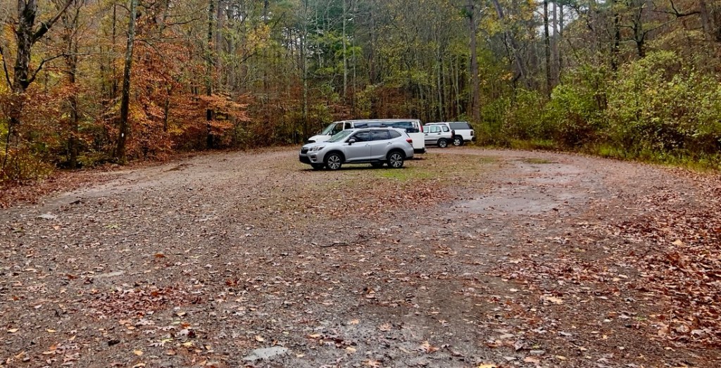
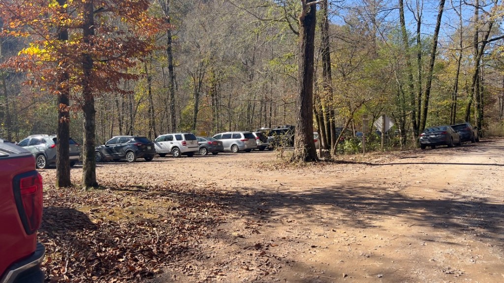
As November is a popular time to hike this area, I was concerned the parking might fill up. So, we chose to arrive on Thursday 7th to ensure we got a spot. There was plenty of room when we arrived.

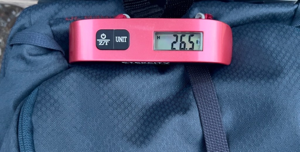
We weighed our packs to confirm our estimates. Vance does not have the lightest camping gear so I carried the ~ 7lbs of food with the stove and filter, making the packs about the same weight.

Off we went into the woods for three days!
We hiked in just 0.9 miles from the parking lot, avoiding being too close to avoid being disturbed. We were right by the road though there was little traffic.
There was space for several tents at our site between the river and the road. We passed an occupied site on the other side of the river. There wasn’t another comfortable site for at least 1/2 mile after crossing the road. I slept with both my vestibule and the mosquito-net-door tied back and did not get bitten. It was a beautiful night. I had confidently promised my wife I’d check in with the InReach each evening and morning, but the canopy around this site blocked the satellite signal. She just assumed I’d forgotten 😞.

Day 1: Little Missouri Trail
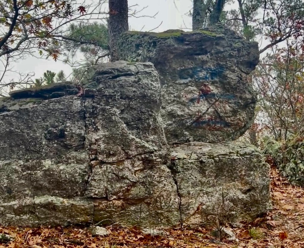
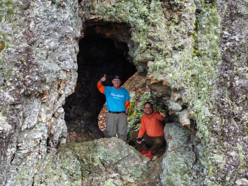
For most of the day, we followed the path along the Little Missouri River. However, before arriving at Albert Pike, there is an unsigned trail off to the left along a ridge that takes you to Window Rock. It’s easy to miss when the trail is covered in leaves. The path is on AllTrails. You can see our diversion below, and note that the AllTrails path goes much further along the ridge.
It’s a short steep climb. You are looking for a blue mark on a rock, but it is not the first one.

When I hiked it in 2022, we missed this point and kept going along the ridge. It’s a nice ridge walk but nothing special.


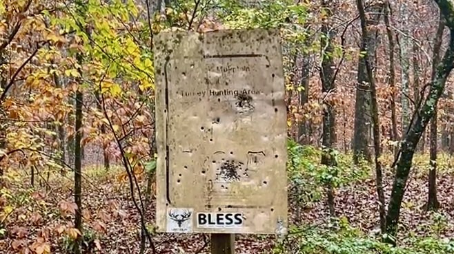
Next stop was Albert Pike. It was deserted, with only a prohibitive sign and a water gauge hinting at the destruction in 2010.

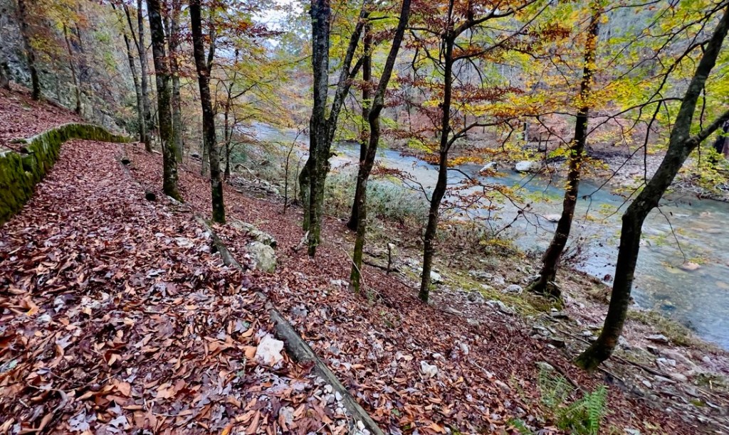
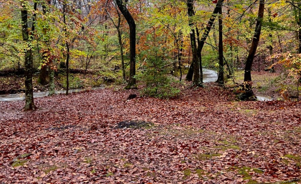
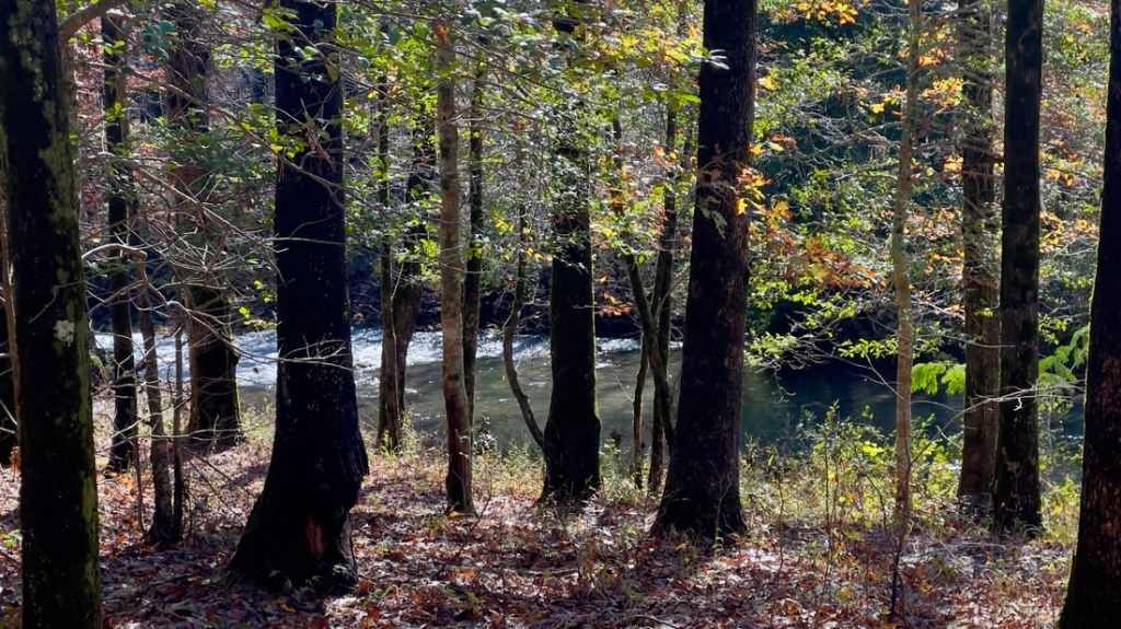
The rest of the day’s hike followed the Little Missouri river. It was beautiful and peaceful, listening to the water rushing down the rapids as we passed on our way upstream. Some fishermen told us the fish were biting.
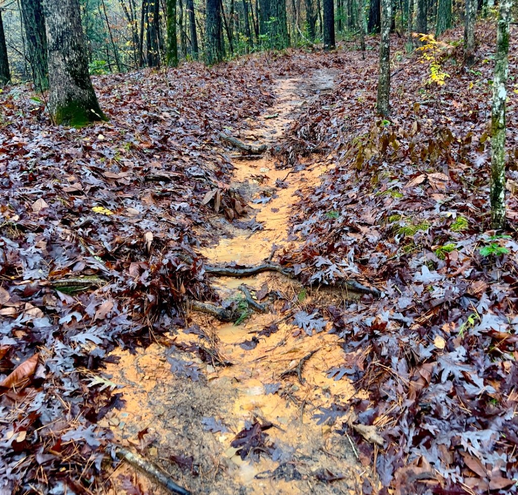
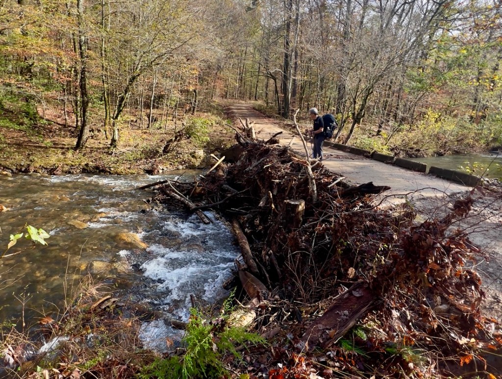
There were piles of river debris on the path, reminding us that this had been underwater less than a week earlier:
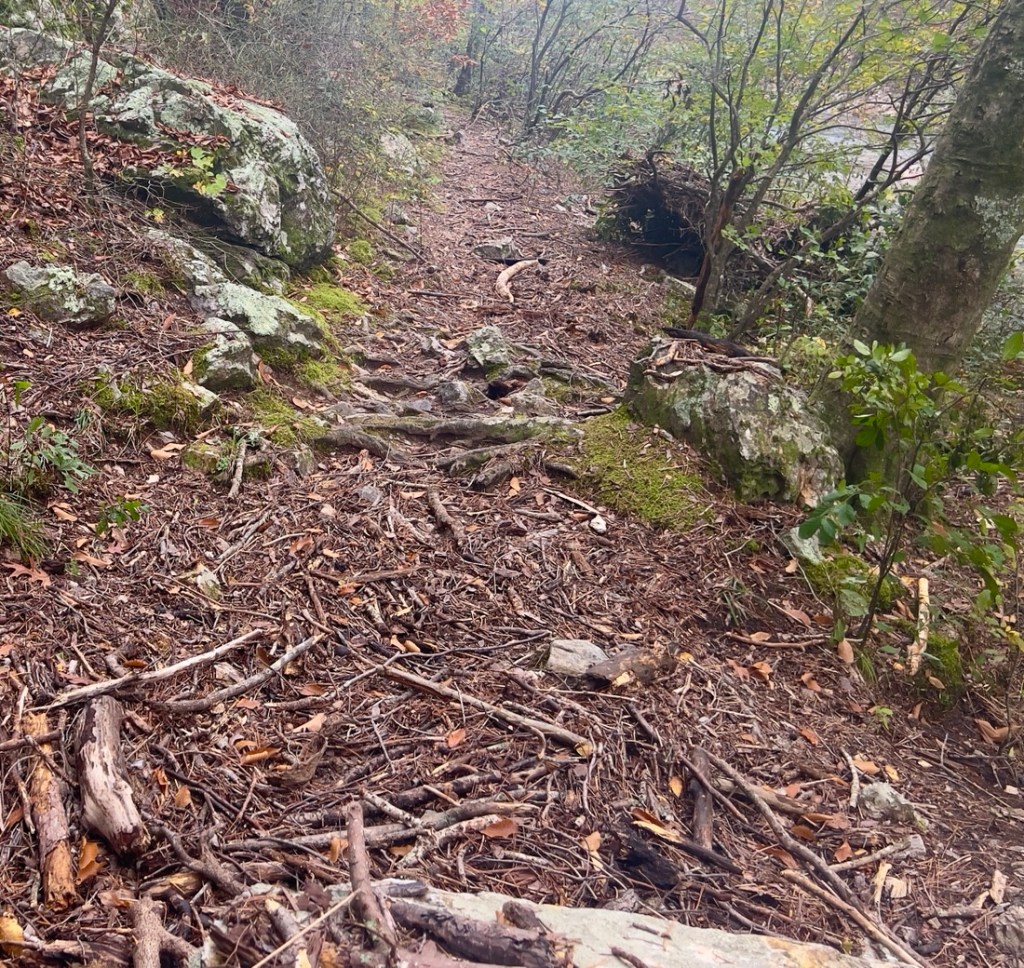
There were signs of longer term erosion from the high water.

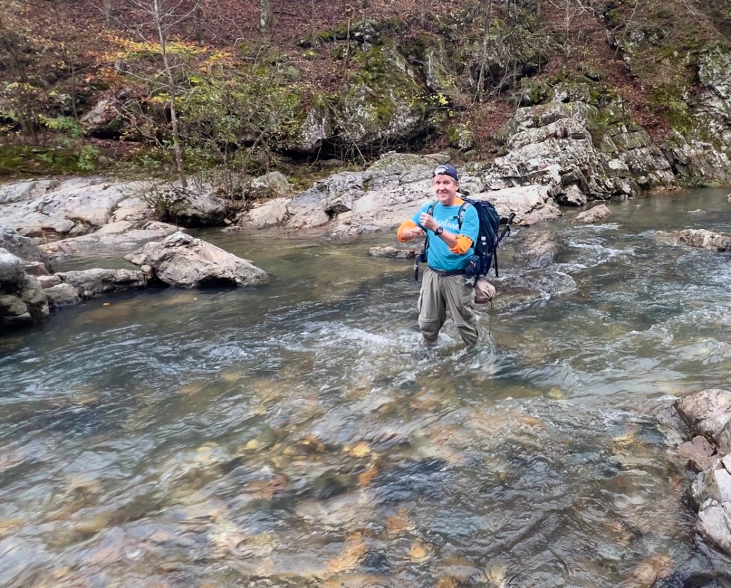
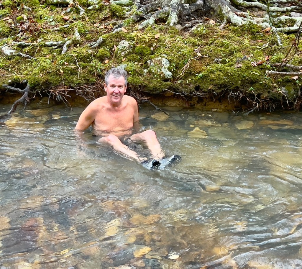
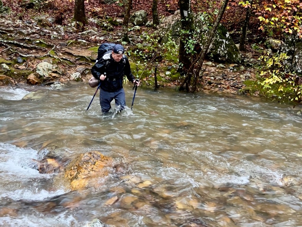
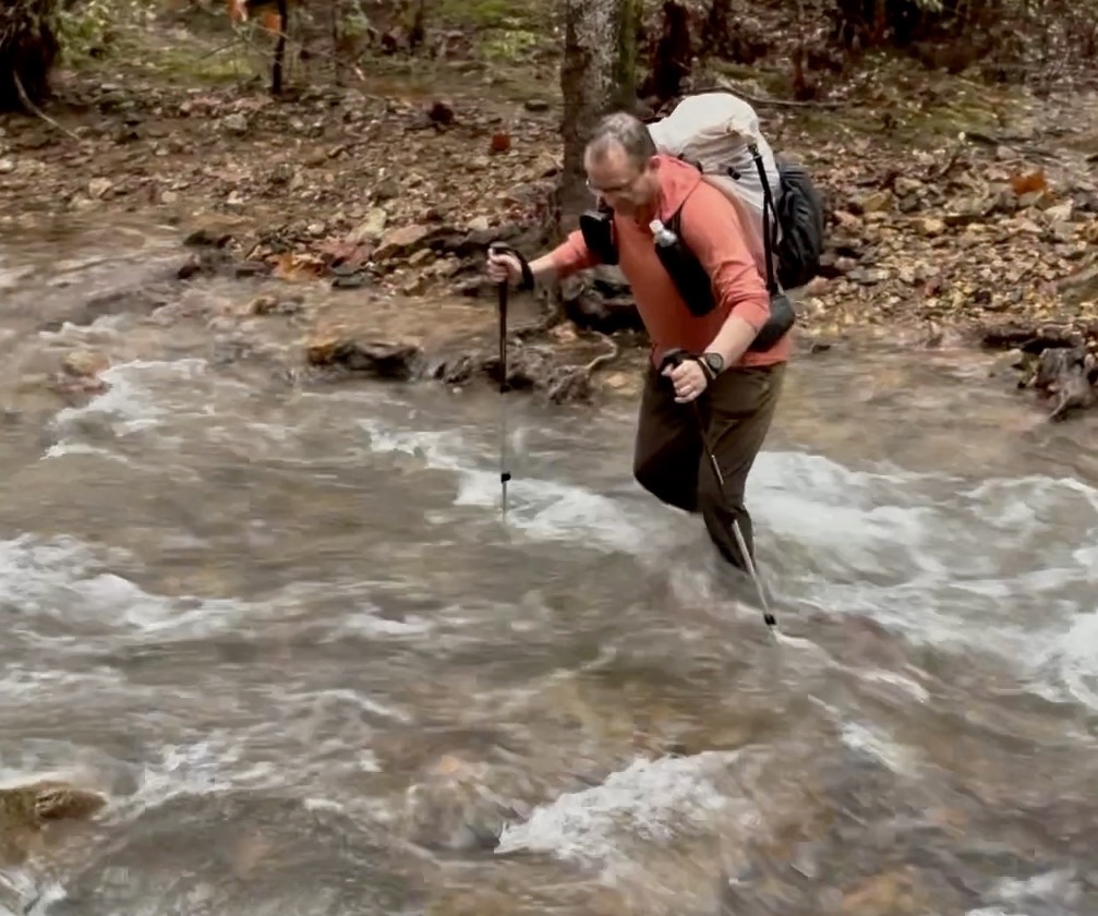
We waded through tributaries such as Long Creek and Crooked Creek, as well as crossing the Little Missouri a couple of times. The water barely reached our knees and was safe. Vance found it particularly refreshing and it was probably close to the air’s temperature of 60 degF.
Little Missouri Falls looked great.

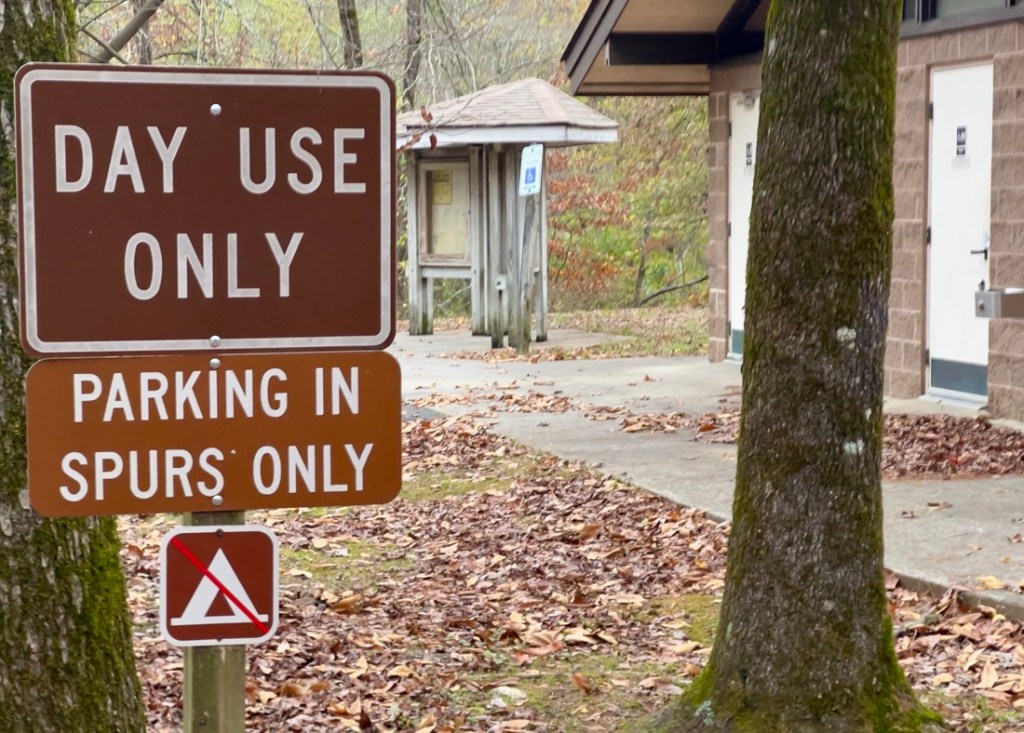
We enjoyed a snack while making the most of what shelter from the light rain we could find at the parking lot.
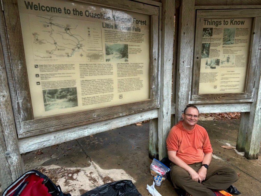
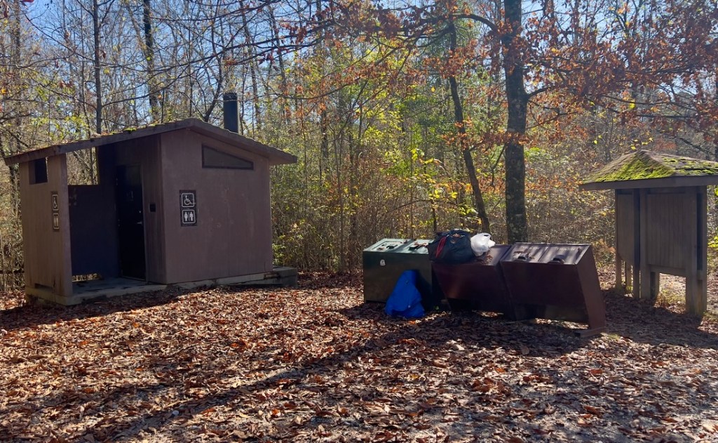
There is plenty of space for parking here, along with toilets.
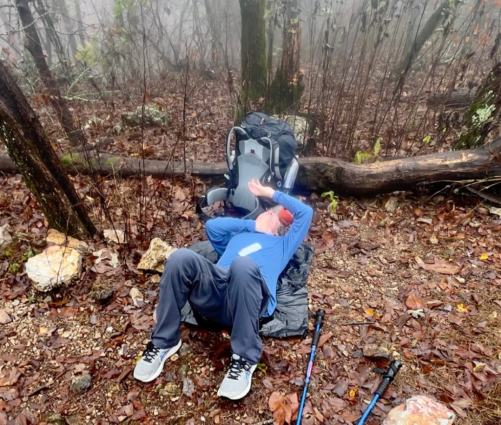
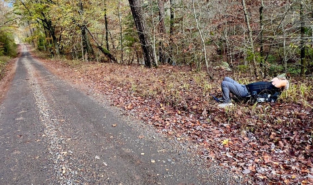
With about two miles to go before the junction, after about twelve miles of hiking, I gave Vance the option of stopping at the next viable campsite. He jumped at the opportunity and we found one almost immediately which made him very happy! It was 3:15pm.
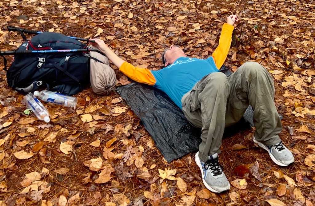
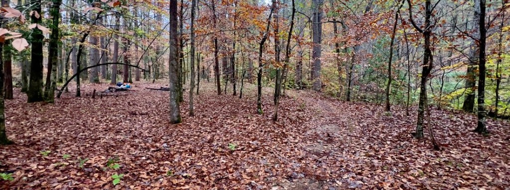
Then it started to rain. Thankfully, we’d already pitched our tents. I still had faith in the forecast that it wouldn’t be much… Vance tried to get a fire going with the help of a plastic bag we found at the site, but the rain would not relent. We could not get the fire going, even with the help of the Jetboil. We took shelter in our tents, hoping the rain would stop, but by 5pm, realized it seemed unlikely which an updated forecast on the InReach confirmed. I learned later than more than an inch of rain fell over the next two hours. At least I’d been able to check in with my wife!
With darkness approaching at 5:30pm, I braved the rain to fix dinner, only to realize my first big mistake. I had left the lighter and Jetboil in the rain and they were both waterlogged. The lighter would not spark. Vance had some matches which worked, but the Jetboil would not burn properly. Dinner was a few cold snacks before lying down for twelve hours, listening to continuous rain. I dreamt of the river bursting its banks!
Day Two: Athens-Big Fork Trail to Eagle Rock Vista
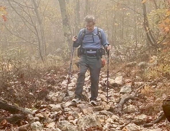
This is the hill-climbing section with six ascents. I made my second error by starting the day in my dry socks, mistakenly thinking that the wet river crossings were behind us. With the gauge at or above 4 ft, the wet crossings continued, so I did not have the luxury of dry socks at camp that night.
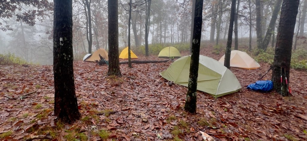
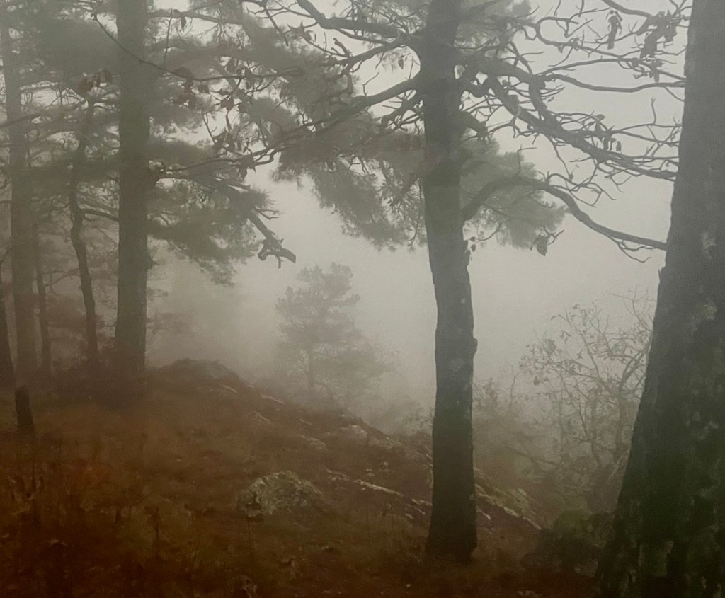
Our tents had kept out the rain but the continuous rain and mist meant nothing dried out and everything felt damp. Thankfully, we weren’t cold, but the dampness is still demoralizing. It also makes everything heavier!
The first task was to check the river level. It had gone up, but not that much. Probably less than a foot, but it was still rising. The photos below compare the level of the previous evening with that morning.


The rain brought some new pretty waterfalls.

After setting off, we immediately crossed the Little Missouri a couple of times. The fast water here required concentration but wasn’t dangerous at a gauge level of 5 ft.
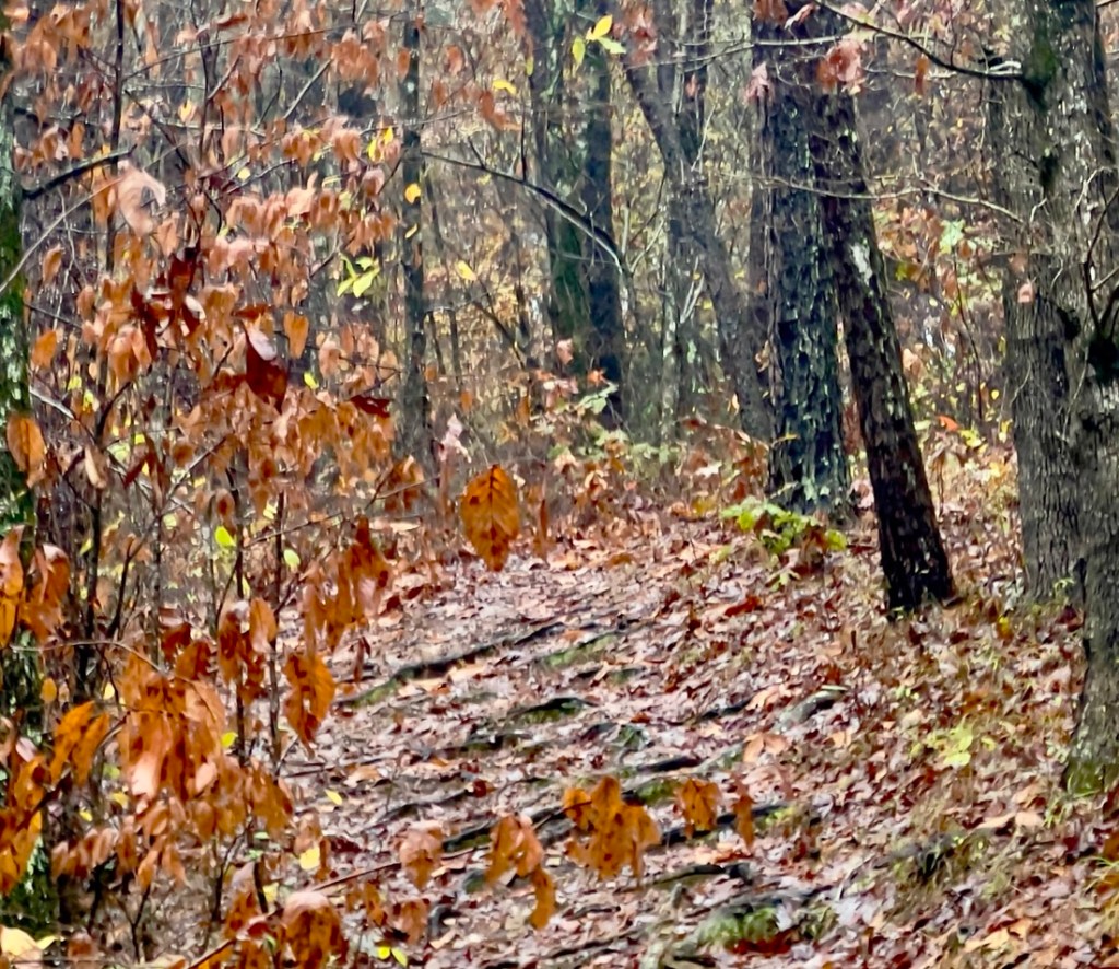
At times, the trail was difficult to follow. The white blazes were always there, just sometimes difficult to see, and leaves covered the trail.
After two miles, we reached the trail junction.
Vance was happy – for now!


After this, you have the longest climb of the whole loop up the fifth hill.
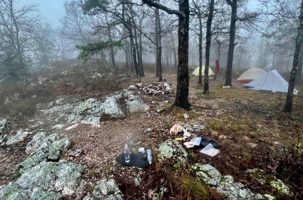

Day 3: Eagle Rock Vista to Winding Stairs Parking
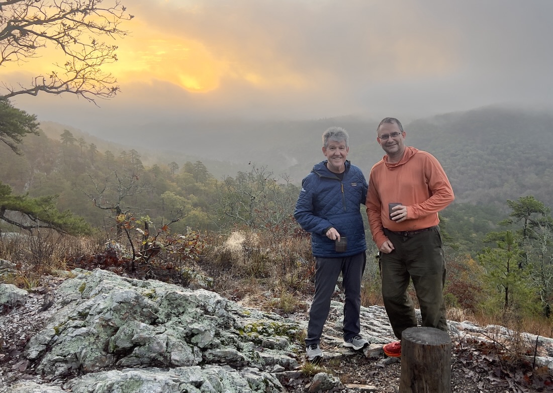
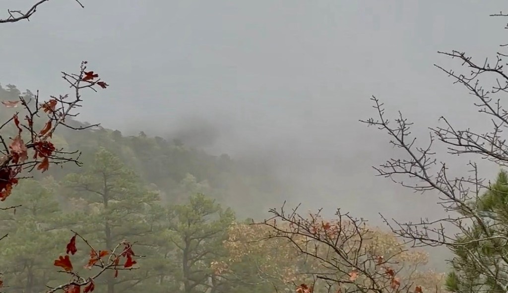
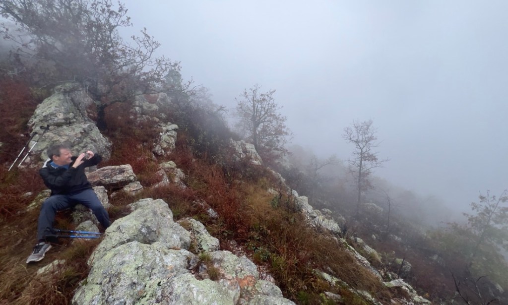
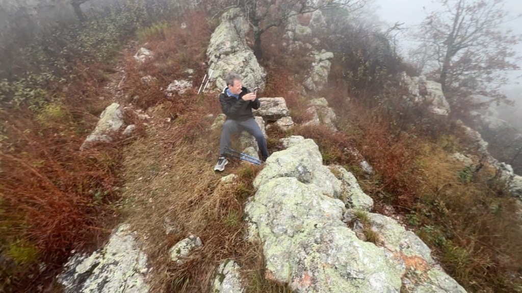
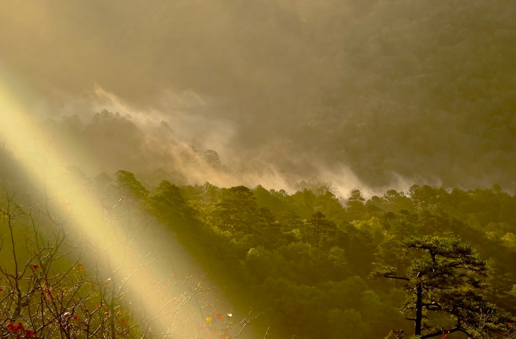
I set a 6am alarm, hoping for great views around the 6:45am sunrise, but was initially disappointed.
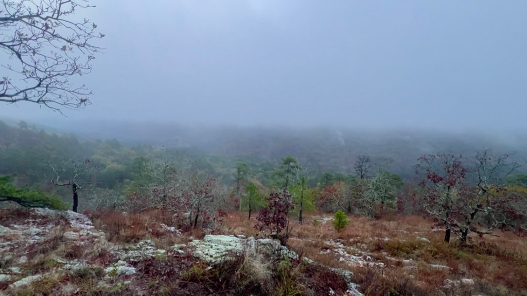
But just before 7am, the mist lifted and we got beautiful sunrise views that lifted our spirits.

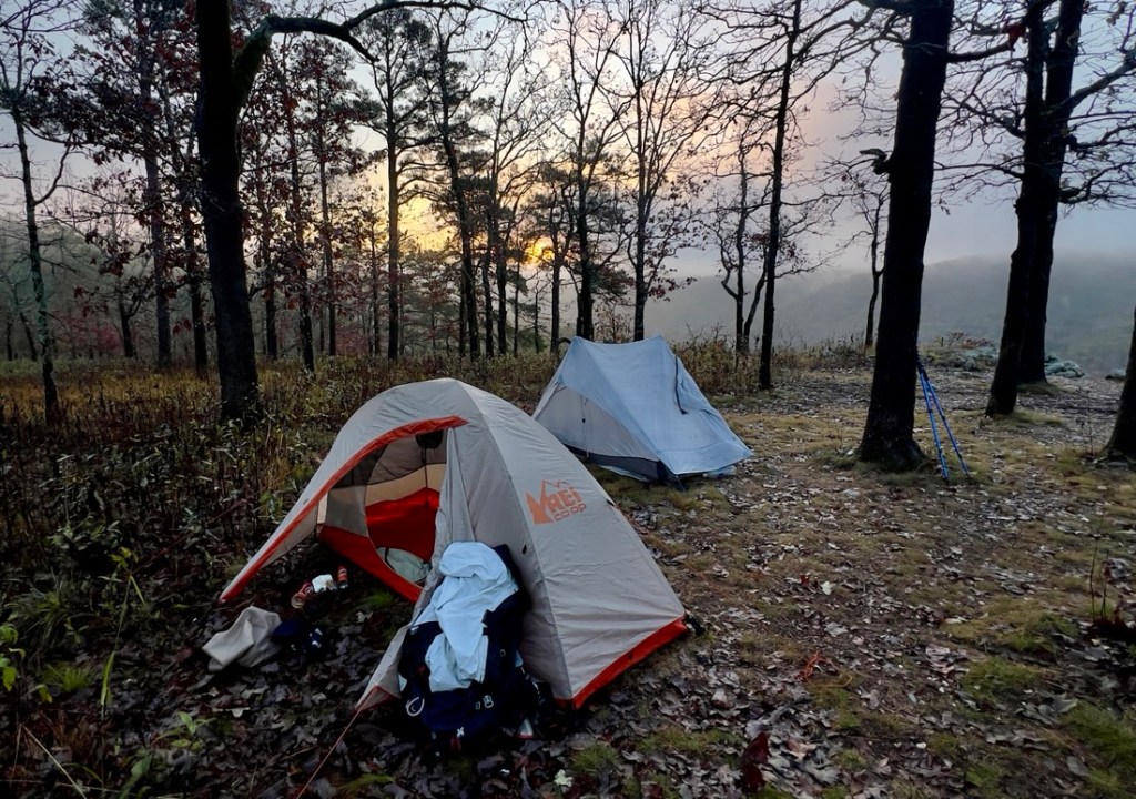


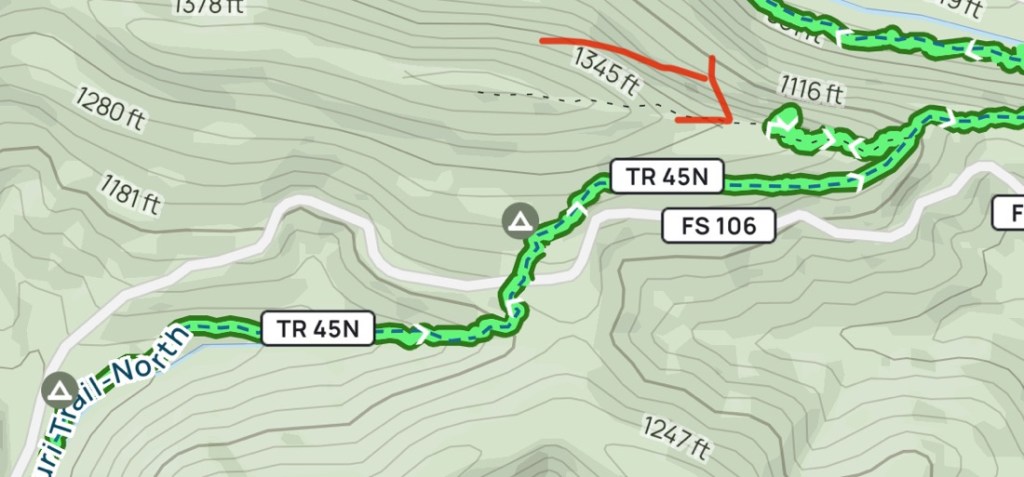
However, the gauge was still at 4.8 ft and falling too slowly to reach 4.5 ft in time. So after packing up, we headed back over Brush Heap to FS 106 following Blaylock Creek.


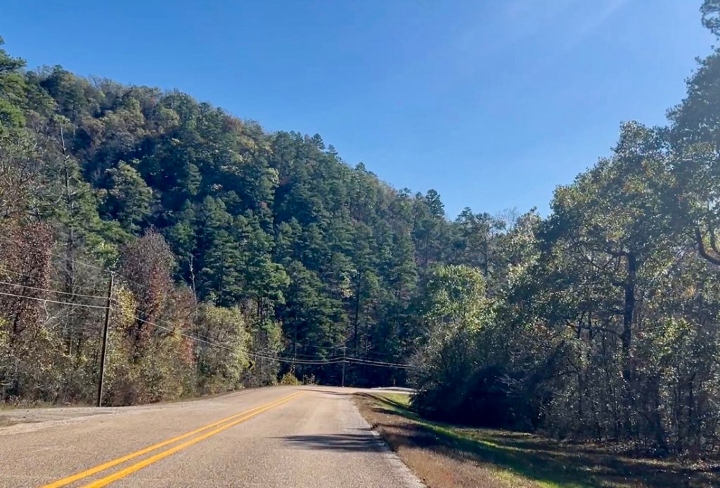
The road walk was a rewarding change from the trails. A few hunters passed in their fourwheelers. Mostly we listened to nature and Blaylock Creek’s gurgle. The sun was shining and life was good.
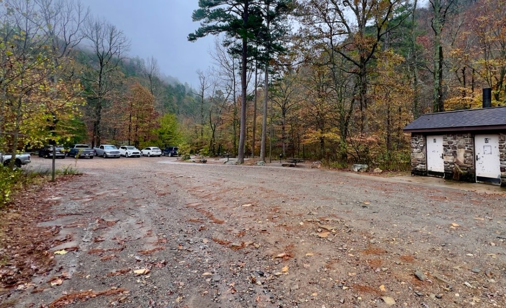
At 11am, we arrived at our starting point. The parking lot was nearly full and was spilling out onto the road, but there was still room. The toilet was useful too!
When considering we’d eaten nearly 7 lbs of food, our packs had gained a little water weight. We had one pound of food trash from packaging which I try to minimize.


We had completed the loop, albeit the high water variant. We had a 6.5 hour drive ahead of us so we did not linger, but the drive out of the forest gave us some final beautiful views.
Reflection
I learned three important lessons: keep your lighter/Jetboil burner dry, don’t put on your dry socks at the beginning of a day, and tighten shoelaces for hiking downhill in wet shoes.
Vance was surprised by how much harder this was compared to our thirty-mile hike around the flat Lone Star Hiking Trail. The rocky ground, the river crossings, and the six hills make this a greater challenge. The wet weather had a psychological toll, especially as it was not forecast. I was tremendously impressed by Vance’s upbeat attitude and determination to keep going. During such hikes, we question why we do them. Below is a summary of Vance’s feelings immediately after the hike:
It was a remarkable experience. Hiking 30 miles and climbing 5,000 ft over three days and nights kicked butt. The views from the peaks were breathtaking and the frequent river wades invigorating. The 13 hours of continuous rain followed by 24 hours of misty drizzle was tiresome, but they just made the beef stroganoff taste better. When the sunshine came out on the last morning, we could almost forget that we’d been sleeping in a moisture cave for two long nights, but our clothes’ damp smell lingered as a faithful reminder. It was the best of times and the worst of times. I learnt a lot about myself and my crazy hiking partner, and developed a new respect for the long distance hikers.
Finding hiking partners where it works well for both parties is difficult, yet Vance fits well. I look forward to our forgetting the low points of this trip, remembering the camaraderie, vistas, and river crossings, so that we eagerly plan another trip! I just need to wait for the forgetting to happen 😎.

31.6 miles, 4,675 ft of climbing, 14 hr 15 mins of moving time.
Eagle Rock Loop’s High Water Alternative.
If this was of interest, read about our other land-based adventures.
Leave a comment, give a like!
