

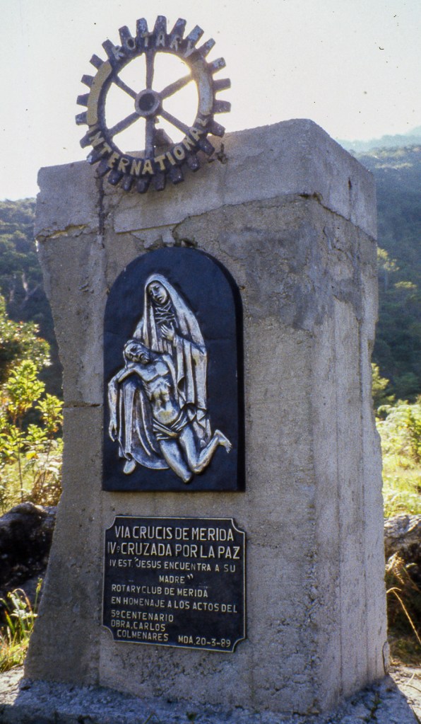
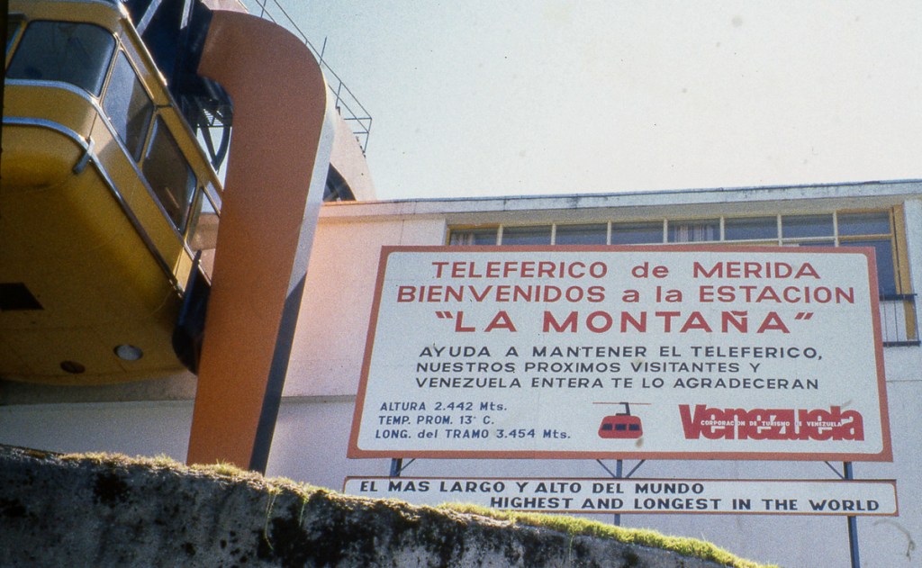
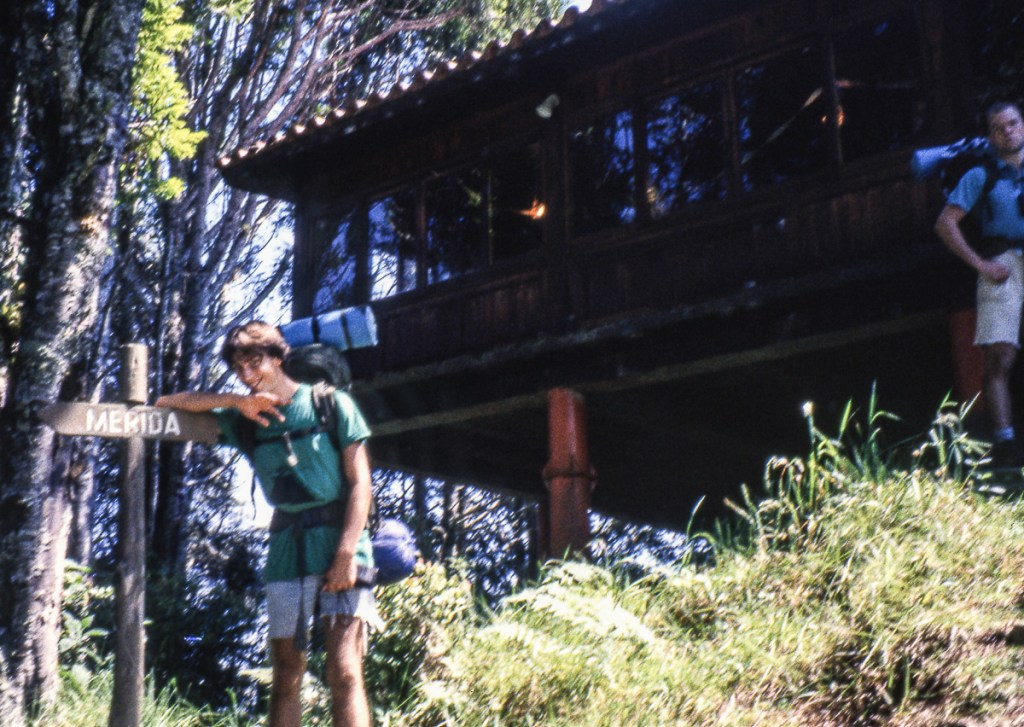
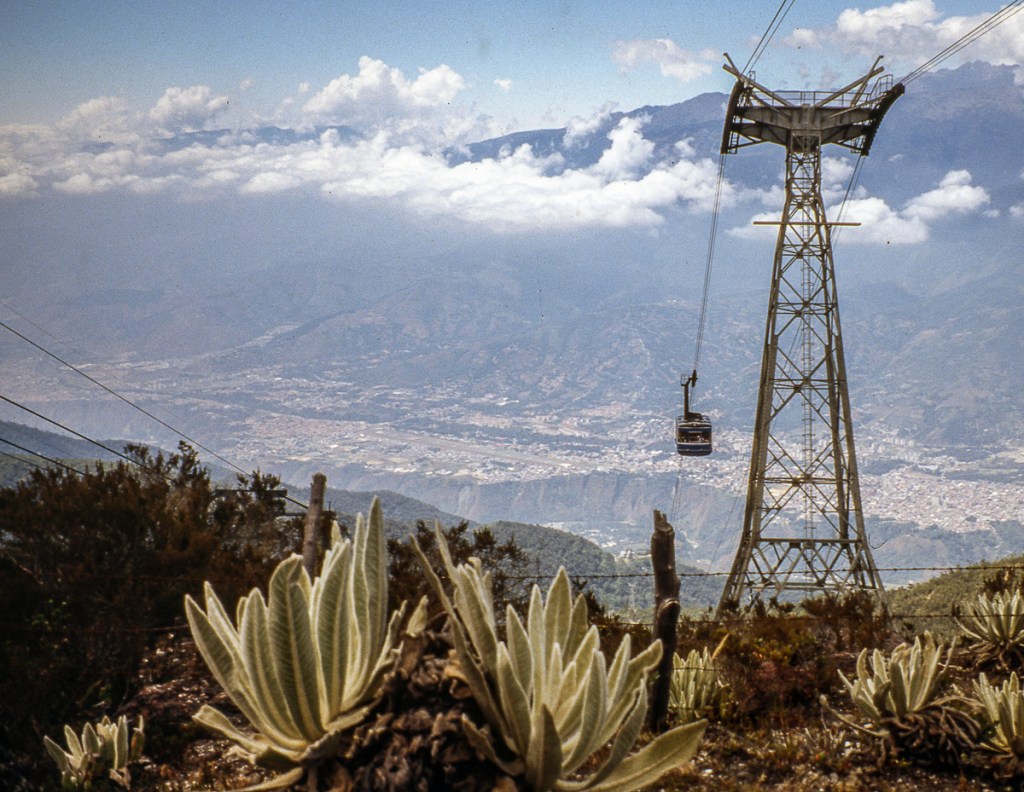
After the completion of the Cambridge Columbus Botanical Survey expedition, Mark, James, and I headed to Merida in February 1991 for a backpacking trip in the Andes. Hilary Branch, who had written the No Frills Guide to Venezuela, recommended a hike from Merida to El Morro as it was quite straightforward, following the route of Merida’s Teleferico, which is the highest in the world. Why didn’t we just take the Cablecar? That would have been too easy…
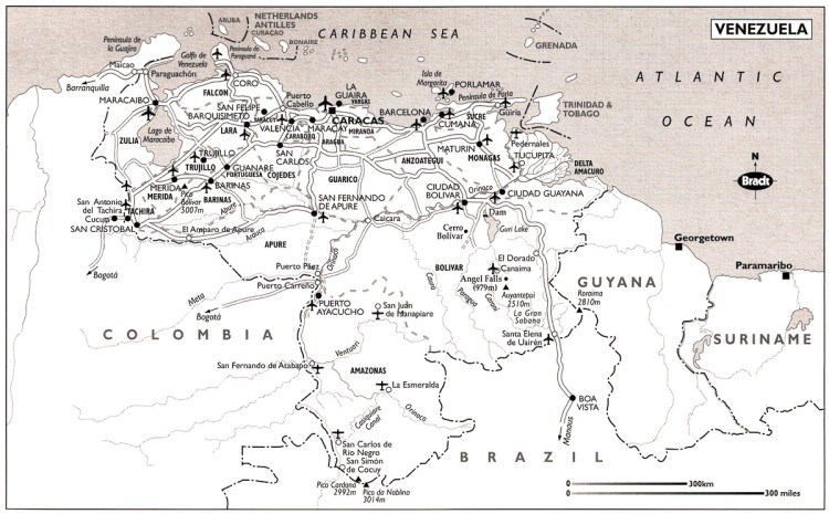

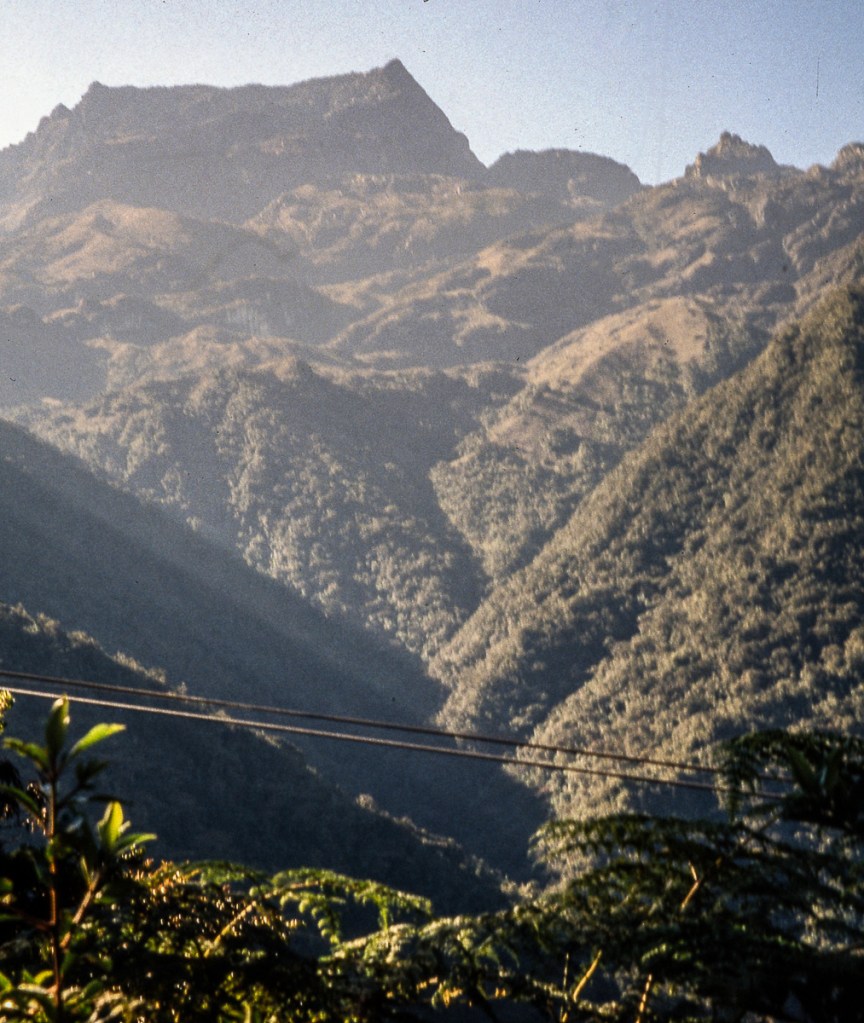
The guide describes the hike as a five-day walk. The route takes one straight up from Merida towards Pico Espejo, over a pass then down the other side to Los Nevados and El Morro. The highlight of the route is the change of vegetation with altitude, starting at 1630m/5348ft in Merida rising to the pass at 4200m/13780ft. The photographs below help tell our story, which didn’t go quite as planned.
Day 1
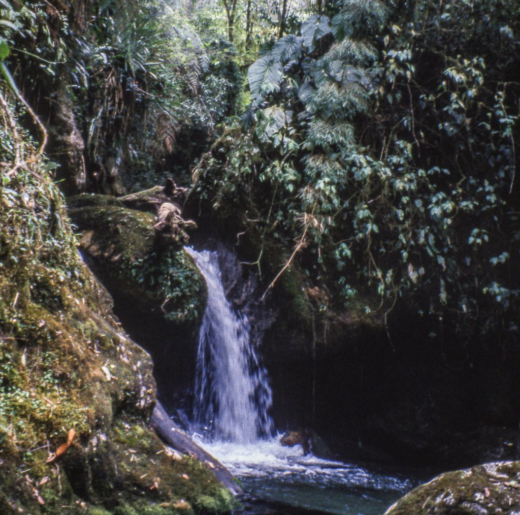
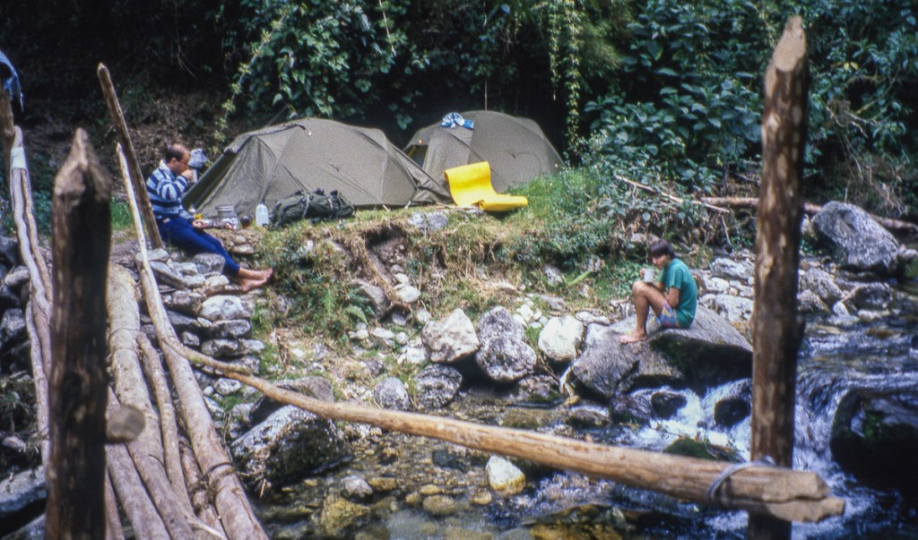
I had arrived in Merida a day before Mark and James, having travelled by different routes. Their journey had been a rough bus journey from Caracas, and Mark thought he might have caught a cold. We were prepared for the most challenging backpacking trip we’d attempted and headed off up the mountain on the first day. We soon were out of the city and heading up the mountain, looking back as the view opened up, and looking up at the long way we had to go to the top. The trail was easy to follow, and we were soon at the first cable car station “La Montana” at 2435m/7989ft. However, we were eager to keep going so kept hiking for about an hour. Just where the cloud forest was beginning, the trail crossed a river “Quebrada La Fria” at 3410m/11188ft. On the bank of the river by the makeshift bridge was just enough space for two tents, so we had found our first campsite. The water looked so inviting and we wanted a swim, but the temperature was very representative of the river’s name “La Fria.” We did not want to get any clothes wet, so we all jumped in naked, screaming because it was so cold. Afterwards, James and I were very refreshed, but Mark was strangely quiet. We realized that his being under the weather had made him more susceptible to the cold and he was suffering from mild hypothermia. We tried to light a fire, but a combination of our poor skills and the dampness of surrounding fuel caused failure in that department. We tried hot drinks, but realized we needed to share some body warmth. So, we all got into a couple of sleeping bags that we zipped together, and slowly Mark became his happy self again.


Day 2
We all had a good night, but Mark was still not 100% by morning. So we decided to take a rest day and just hang out at our campsite. It was a perfect location with the beautiful stream in the forest and no insects.

Day 3
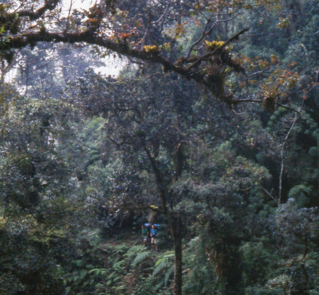
We started hiking again, but keeping a close eye on Mark. The La Aguada station (3452m/11325ft) was about three hours hike, and the station operator was very welcoming, giving us coffee and showing us the best place to camp. I don’t think many people were crazy enough to hike this trail, so I think he felt sorry for us! I have very few photos, so I guess we were concentrating on making progress.
Day 4
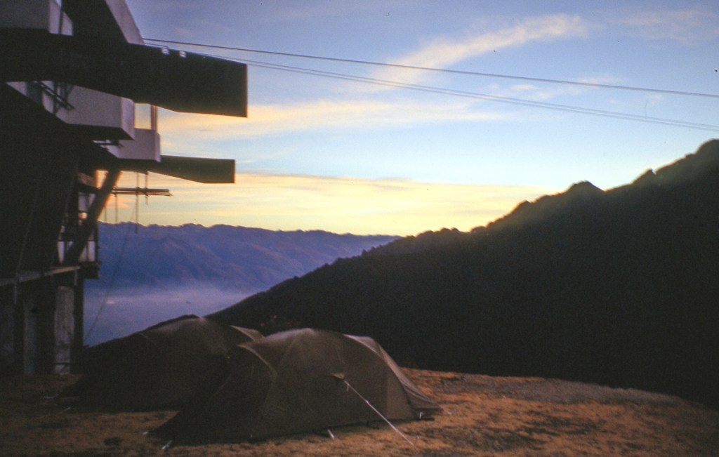
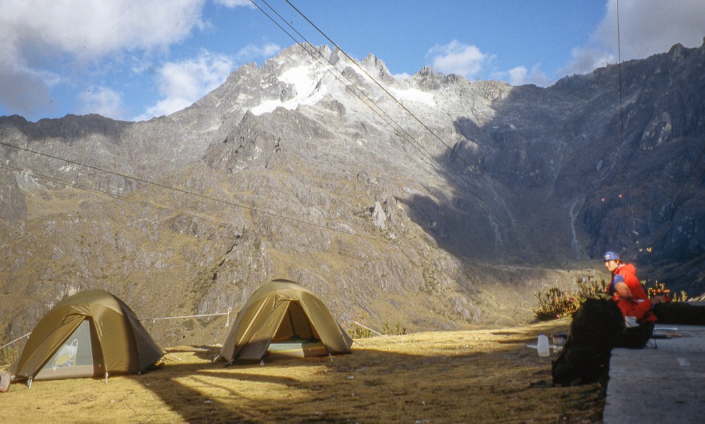
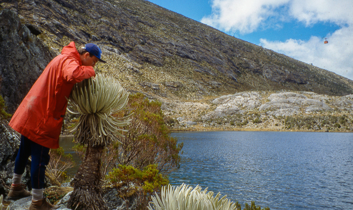
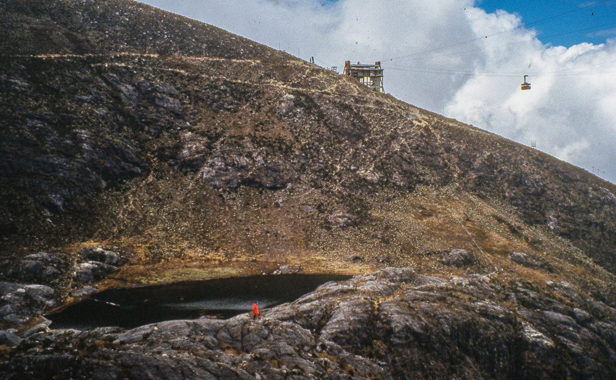
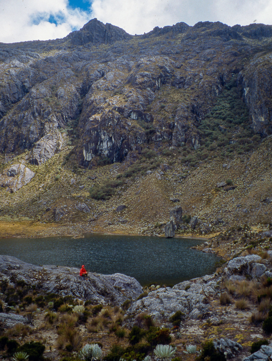
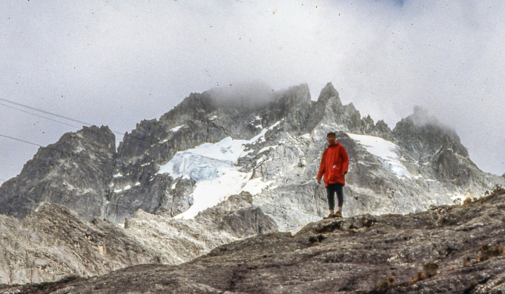
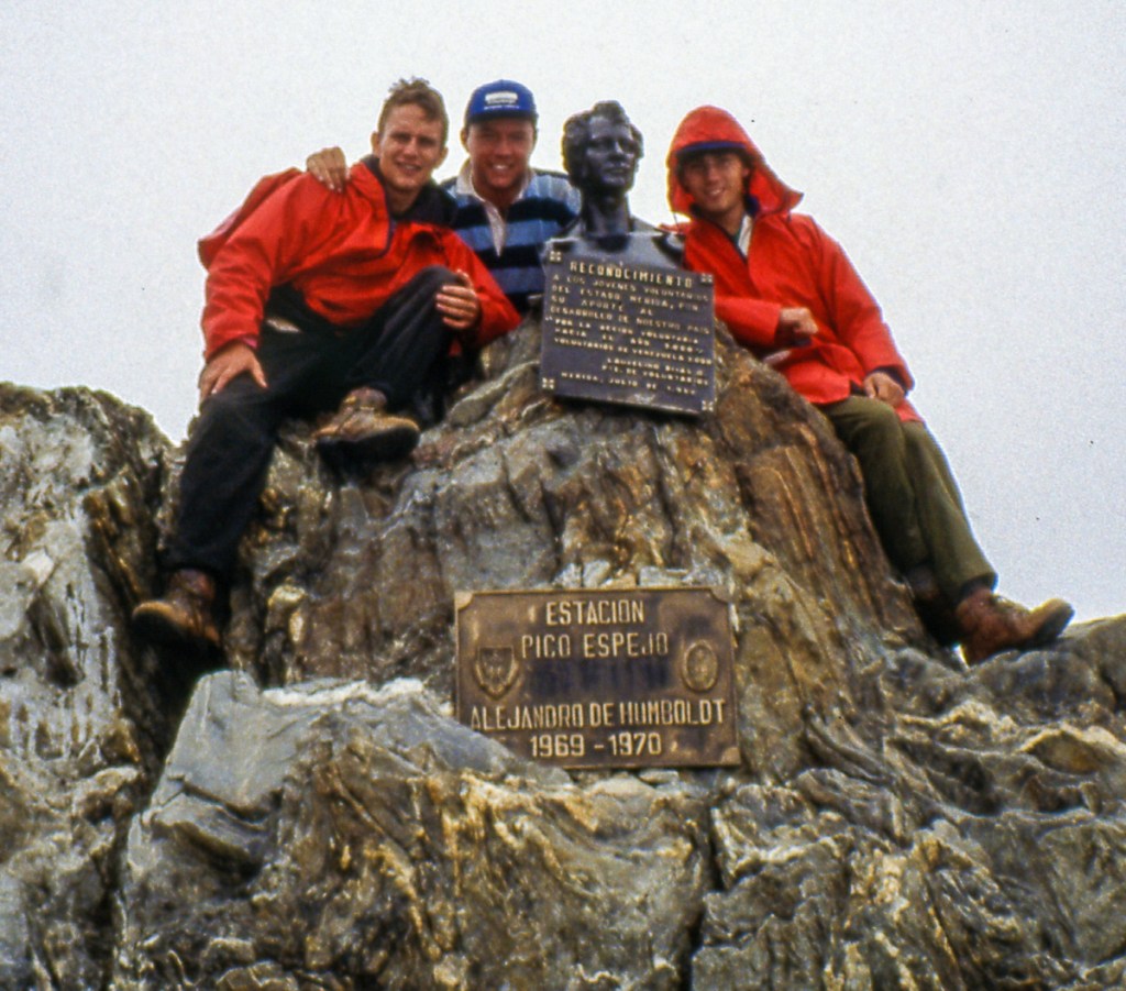
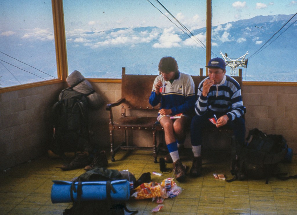
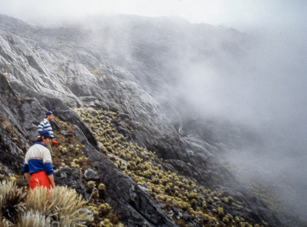
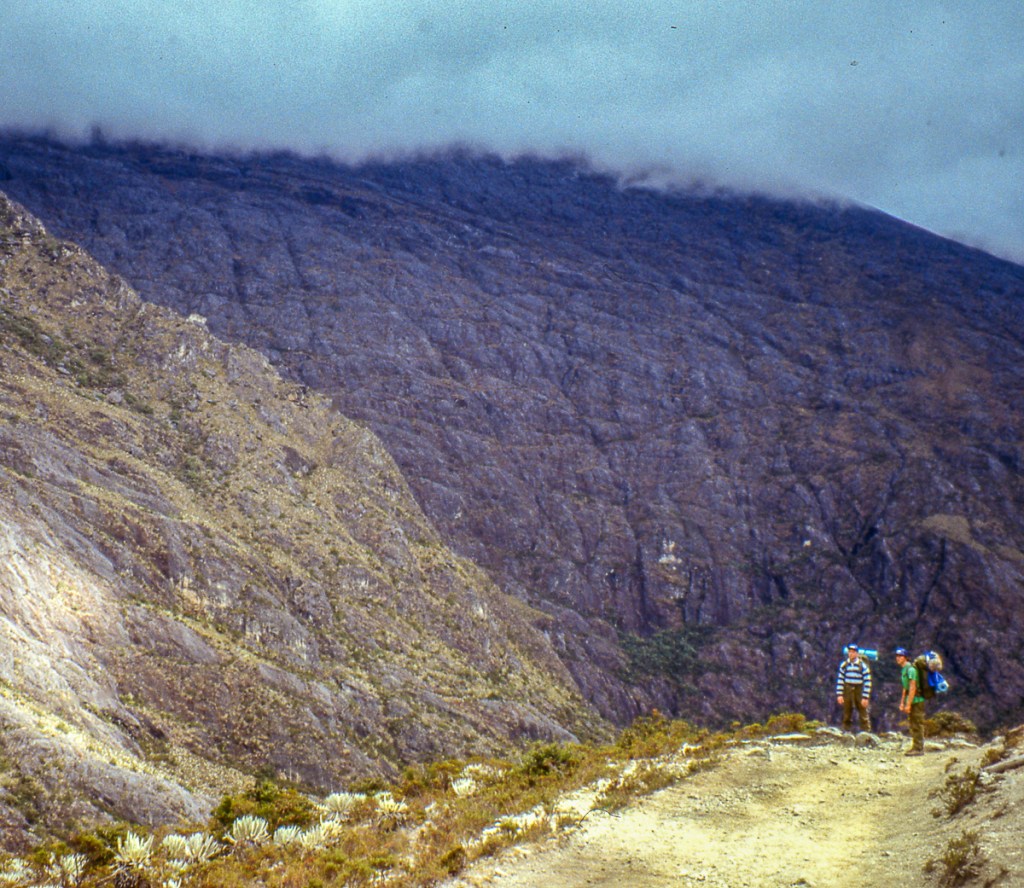
The next day was a straightforward hike up to the next station Loma Redonda at 4045m/13271ft. However, the altitude started to really affect us, so it was slow going. However, we had arrived early enough so that after pitching the tents, we could explore some mountain lakes and the special alpine “paramo” vegetation. Pico Espejo (4765m/15633ft.) towered above us and we so wanted to climb it, but the altitude was sapping all of our energy. Each step up hill was an effort. However, we were able to catch a ride on the cable car. As a bonus, there was a cafe where we could get some food and drink. After lots of exploring and great views, the cloud came down and we lost the visibility. It also brought the cold, that night was well below freezing with plenty of ice inside our tents.
We explored some alpine lakes without our backpacks which was a relief, and essential as the altitude was really affecting us.

Day 5
After a very cold night, accentuated by the altitude, we were extremely happy to get up and get going. We knew that once on the other side of the mountain, there would be a lot less water, but we didn’t end up carrying enough. The landscape was completely different, with the path being an open road down a steep rocky valley.

Day 6
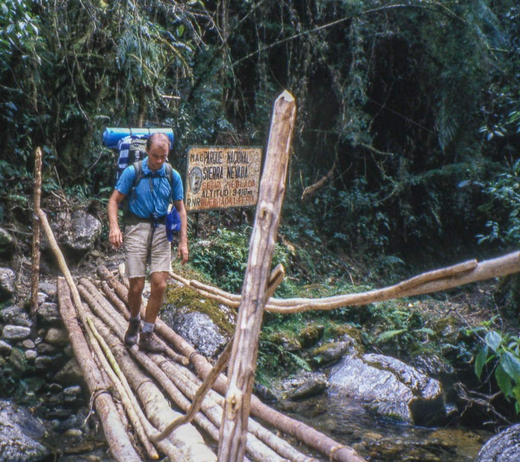
We made it to the extemely quaint village of Los Nevados at 2700m/8858ft. We were able to stock up on a few necessities before carrying on down the hill towards El Morro but we were exhausted. We were elated when we were able to catch a ride and make our way back to Merida.


We were able to provide feedback to Hilary about the hike which she included in her next book, even including us in the Acknowledgements:

Reflections
This was the most demanding hike I had completed, but what stands out is how little I remember. I am sure this is related to both the altitude and dehydration, as I have suffered similar since with similar lack of memory. I sense we were underprepared but need to remember that one is much more resilient in one’s 20’s than 50’s! The proximity to the cable car was always a safety net if ever there was an emergency, and fortunately we didn’t need it. I know that the altitude hit us very hard and surprised us immensely and this remains the highest I have been. Since this trip, I hadn’t been above 10,000ft/3,000m until Samuel and I started hiking in Colorado a few years ago, with our highest peak since being Mount Yale at 14,199ft. Overall, this was a fun end-of-expedition hike with Mark and James, though in my memories it is overshadowed by my next adventure to the Auyan Tepuy.
This page is linked to from my Venezuela home page.

2 thoughts on “Hiking the Sierra Nevada de Merida, Venezuela in 1991”