This is a “catch-up” post from April 2020, when COVID was just starting to get real. The legacy of Hurricane Harvey in 2017 remained strong.
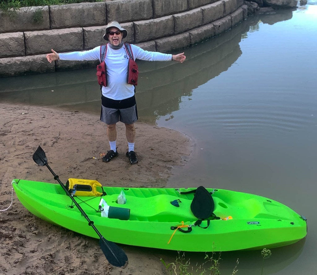
We’d bought our bright-green ten-foot “Lifetime Manta” kayak for less than $300 in 2012 to have some fun with the kids. It had been hanging from the ceiling of our garage for too long, so it was great to get her wet again. It is built for stability rather than speed, and I affectionately call her an unsinkable bathtub! But it floats well down the Buffalo Bayou, with the additional stability requiring more paddling effort.
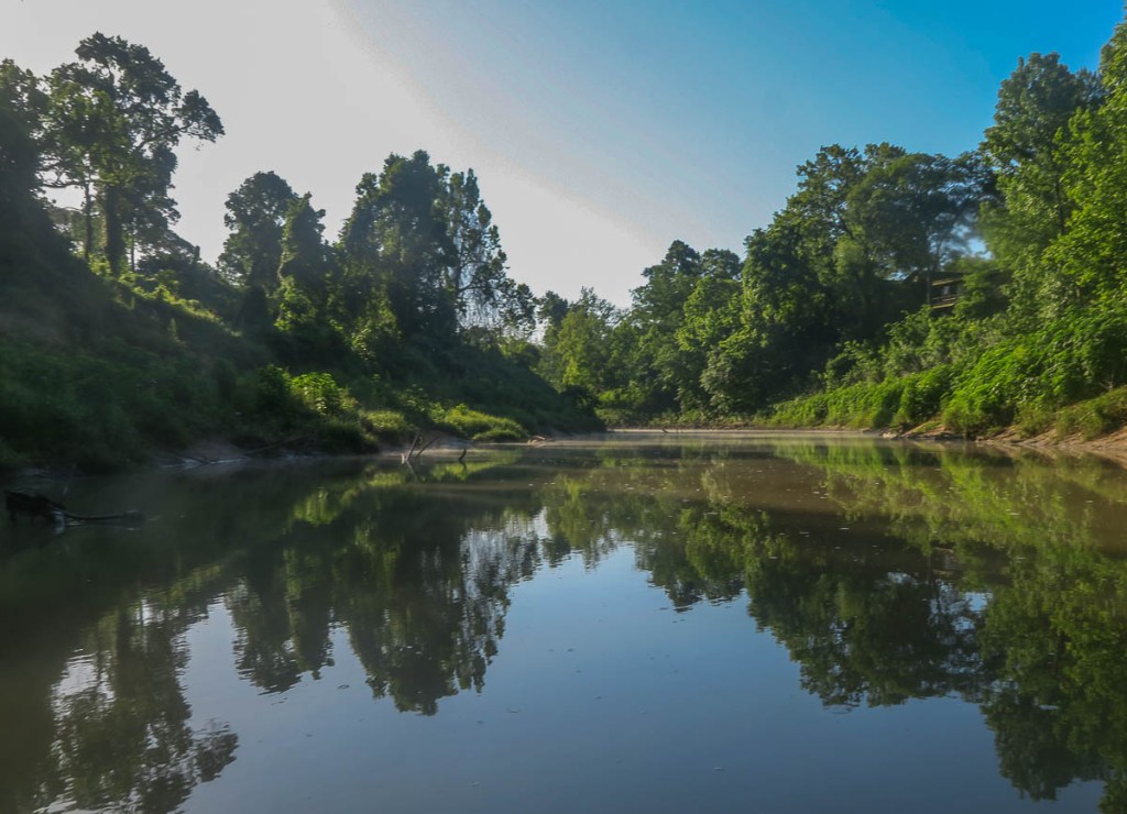
The goal was to paddle to Allen’s Landing downtown (number 10 on the map). The idea of paddling under the big interstates and in the middle of such a big city was attractive, but where to start? The water access location at the Hogg Bird Sanctuary (number 7 on the map) did not appear viable. While locations 8 and 9 looked viable, the trip seemed too short and unadventurous. This left me with starting at location 6, the Woodway Memorial Park, conveniently close to our house. The picture above was taken there. I was confident I would be able to socially distance myself in the middle of the river!
There is a car park just Southeast of the bridge on Woodway over the Bayou, and Janet kindly shuttled. There is a paved path that leads from the car park to the access point, turning to dirt close to the water. There is a stabilized wall by the water, but the drop can be large depending on the water level. I entered via the mud bank which was straight forward.
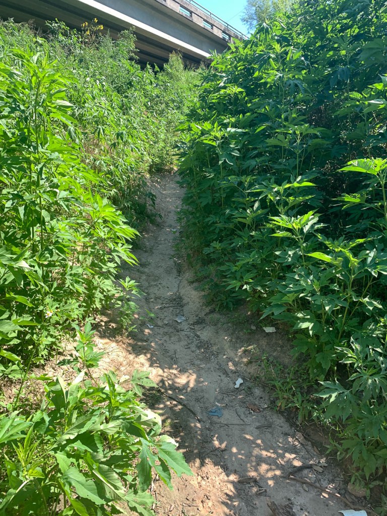
The bottom of the trail to the access point is a bit overgrown.The access point with the reinforced wall and the mud bank.Janet looks down from Woodway as I head off into the unknown.
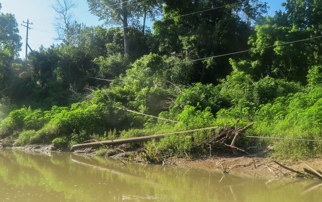
The adventure began. The first section is a beautifully peaceful float down to the Interstate 610 bridge. The sun was still low, so it was cool and the water still. Remnants of flooding destruction remain. The peacefulness emphasizes my distance from anyone else!
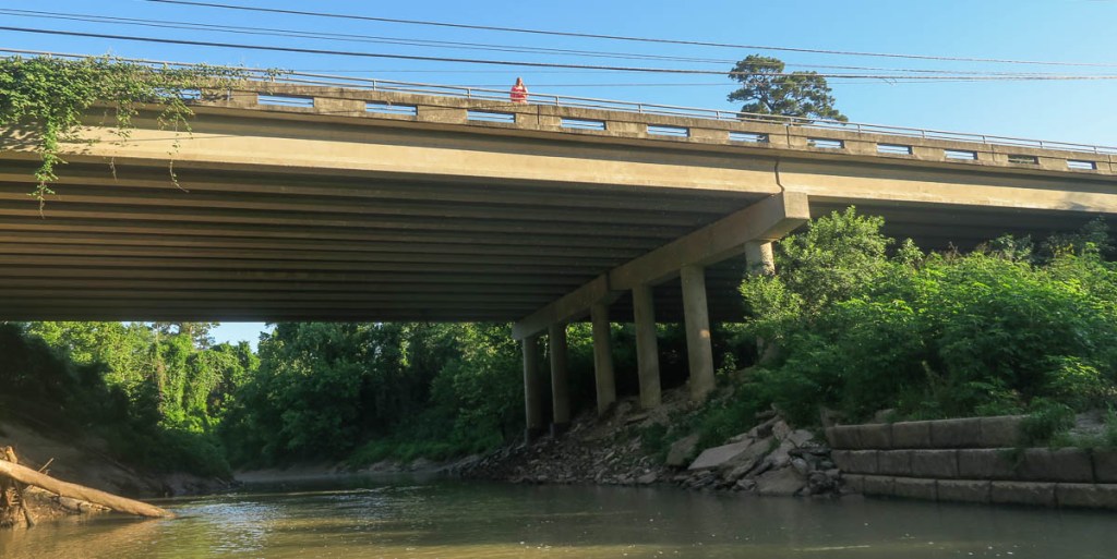
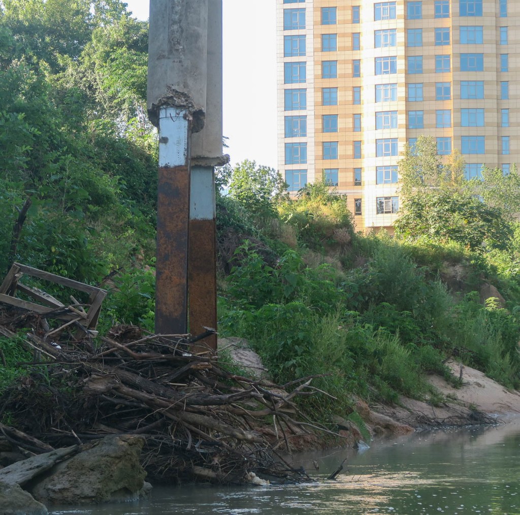
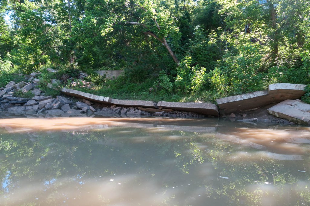
Off I head down the Bayou.I loved how the buildings and blue sky reflected.Piles of debris intermittently littered the banks, where the floodwaters had dragged it to.A pipeline bridge…… whose supports don’t look too good!
The next section from Interstate 610 to Shepherd took me through Memorial Park and River Oaks. There wasn’t much direct evidence of Harvey, but I know the floodwaters had piled up significant amounts of silt on either side of the river, and this had either been cleared or overgrown. For any house you see from the river, you ask yourself, “I wonder how badly they were flooded,” knowing they did not avoid damage. On this section, there was often no sign of human life for some distance, with the peace broken a couple of times by the sound of lawn equipment.
The first “rapids,” shortly after the Interstate 610 bridge. The mist off the water caught my eye, but the moving water required paddling to avoid obstacles, which is difficult when holding a camera! Homeowners have built various structures on the bayou in the past, but they don’t survive the major floods.Some sections were slow and peaceful, but they meant I had to put in effort to paddle!A different view of the railway bridge at the western boundary of Memorial Park.How much did Hurricane Harvey damage them?Damaged telegraph wires, perhaps from a storm more recent than Harvey?I had to “portage” over a partially submerged pipeline as I approached the golf course at River Oaks Country Club.The footbridge at the Hogg Bird Sanctuary indicates the end of Memorial Park, but no sign of water access location “7.”
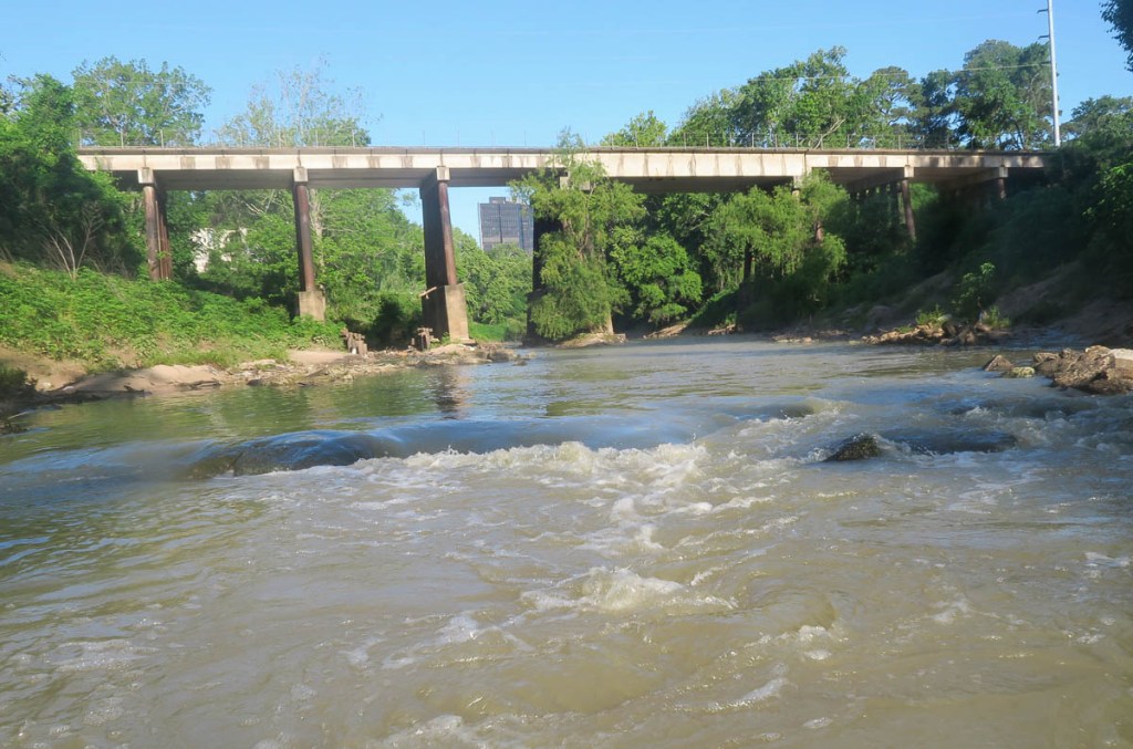
Between the end of Memorial Park and the Shepherd bridge, there was an interesting mix of architecture and wildlife.
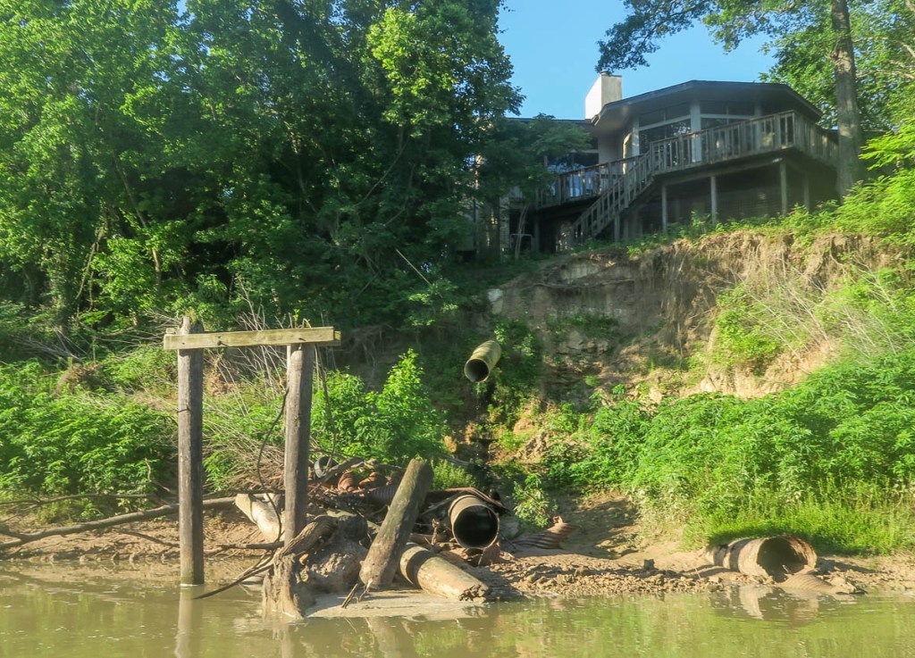
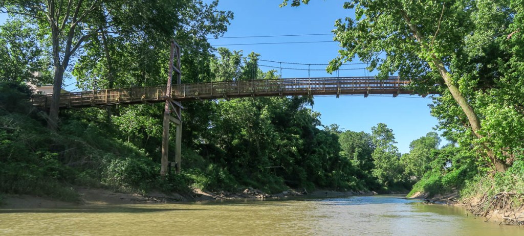
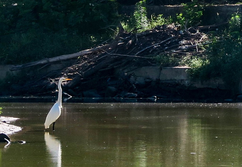
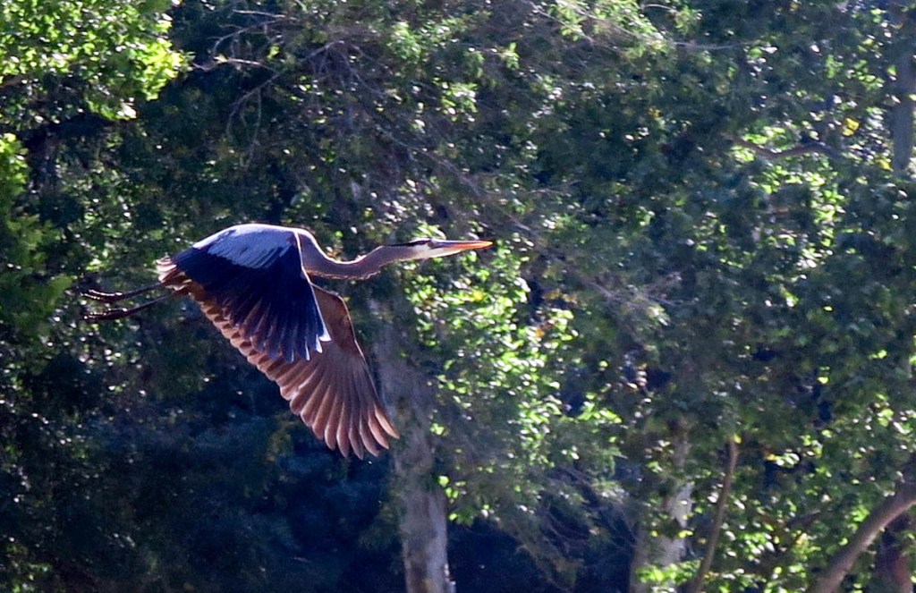
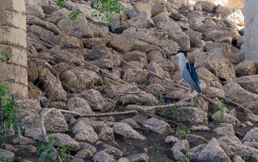
This beautiful river frontage looks unscathed by Harvey, but I expect there has been significant remediation.This concrete wall protection did not make it.This metal barrier protected his house and decking.This wall, which looks like stacked bags of cement, survives flooding effectively. This egret would take off as I approached, flying downstream until I said hello again.Hello again!I followed a heron down the Bayou too.I got lucky when he flew in front of me.Shepherd Street bridge signaling the beginning of the next section.
The next section follows Allen Parkway to the edge of downtown, under several bridges including the Waugh bridge with her bat colony. No shade in this section so I was happy to have my hat and enjoyed more wildlife, as well as finding a perfect spot for my lunch break.
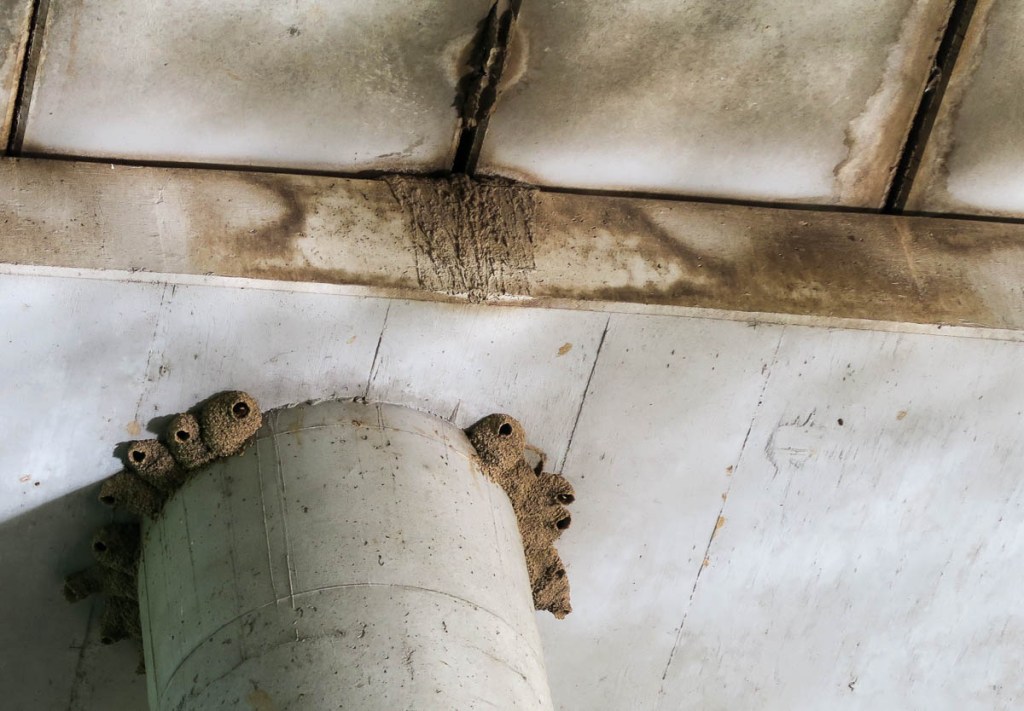
A colorful turtle basking in the sunA pair of ducklings follow their momma.Momma doesn’t like me getting too close!The Waugh bridge which houses her famous bat colony.Martins enjoy nesting under the bridge, as well as the bats who are sleeping in the cracks.The Waugh bridge is not just for martins and bats.A perfect spot for lunch in Eleanor Tinsley Park: a sufficiently isolated seat in the shade.The skyscrapers mark the end of the trail, so not far to go. I picked up a trail closure sign that had been washed away by a recent flood.Downtown Houston – here I come!
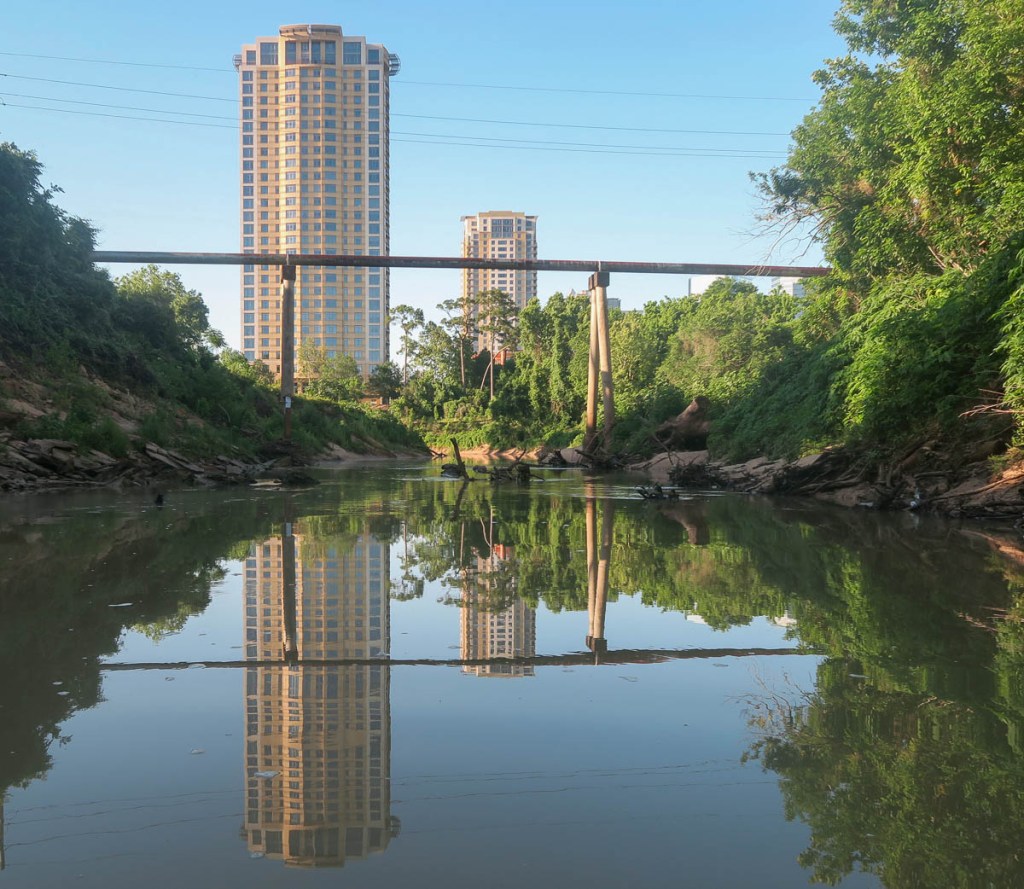
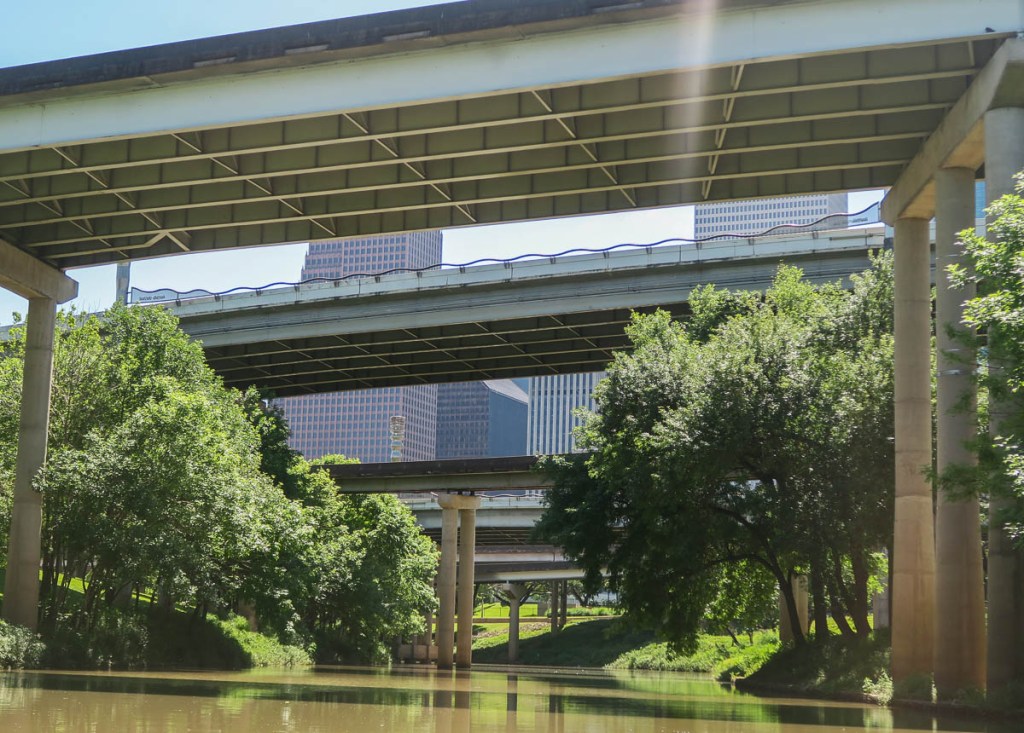
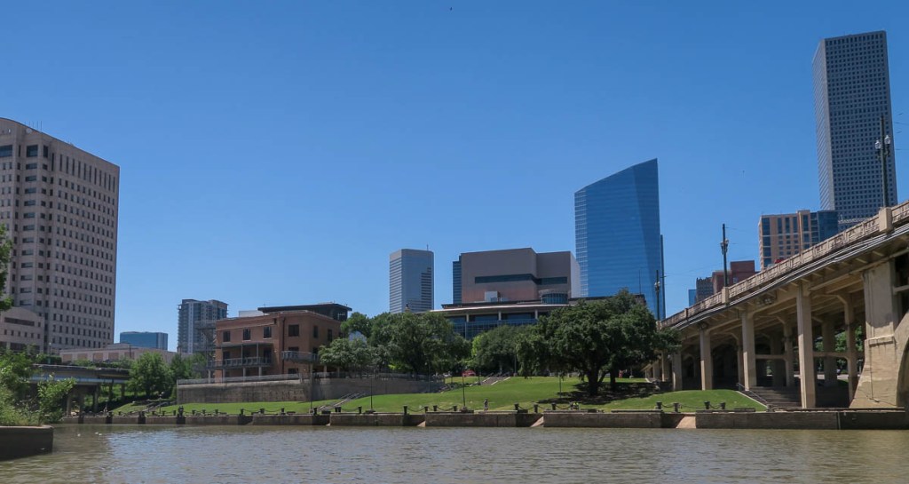
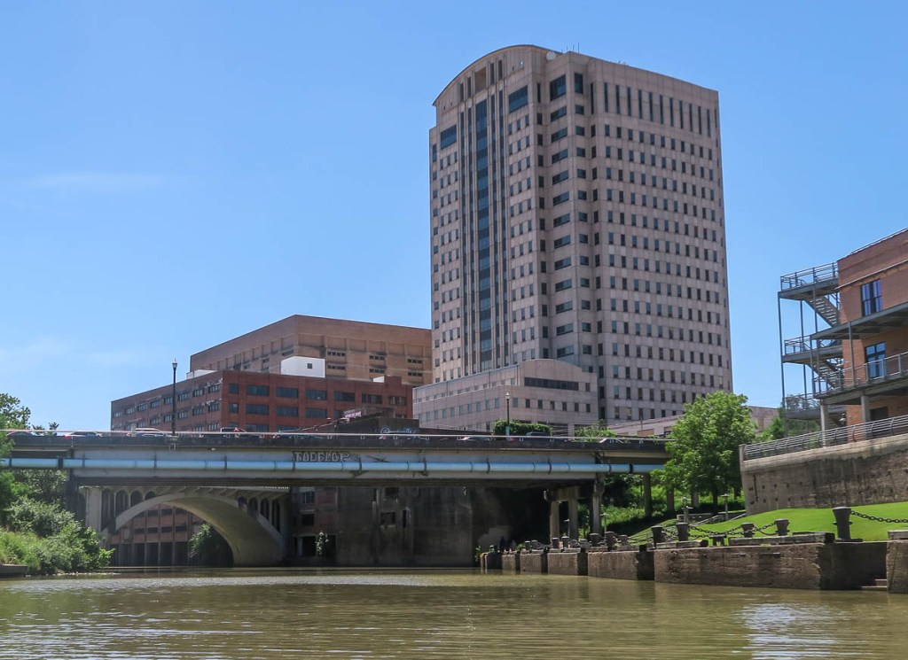
Floating into downtown Houston was the highlight of the trip. Even though the traffic roars overhead, it was cool and tranquil on the river. Evidence of Harvey remained, reminding me that everything that I could see had been underwater. Yet my trip fittingly ended where Houston began.
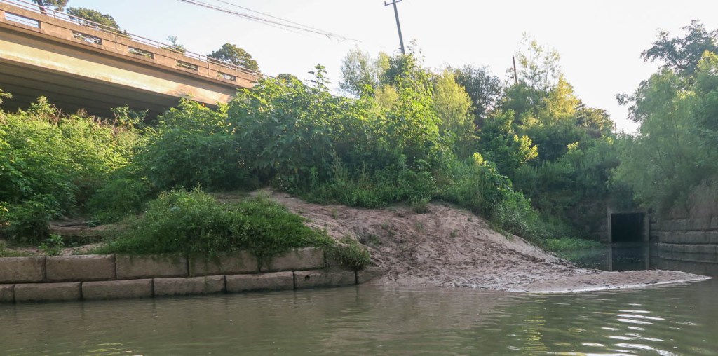
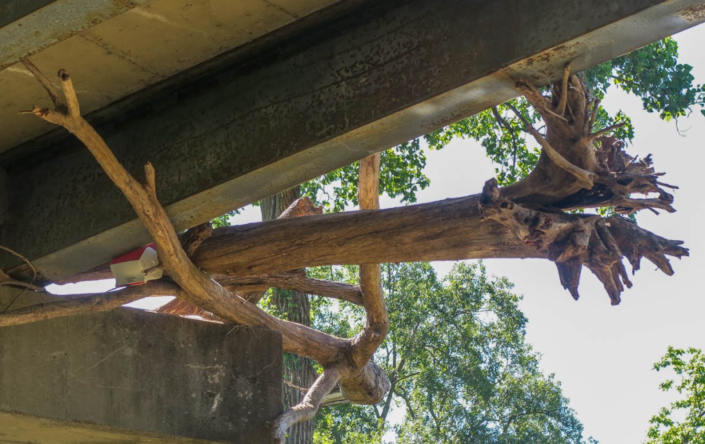
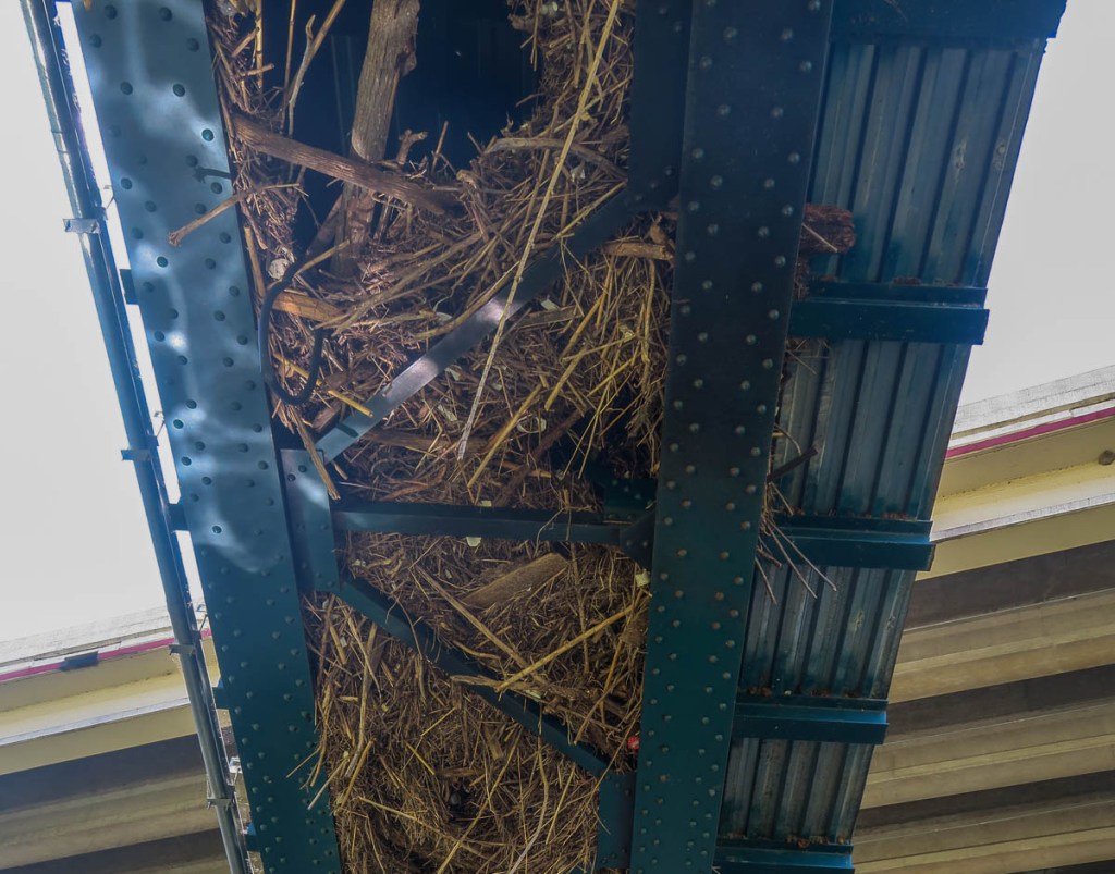
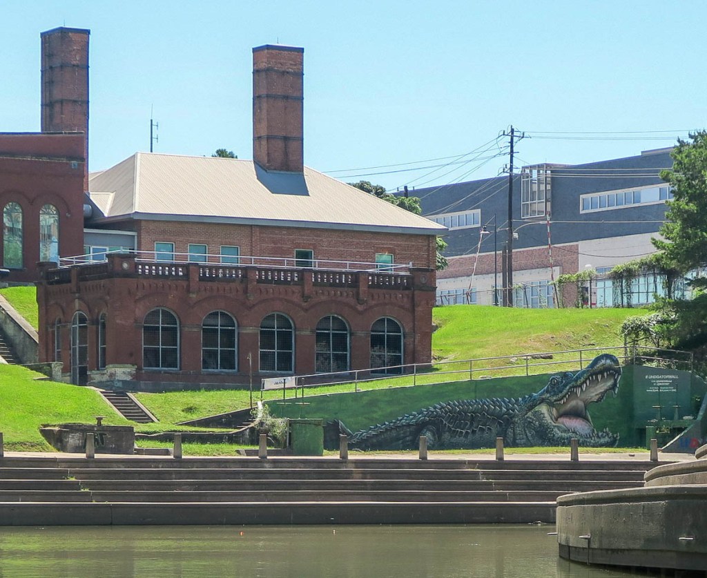
Water Access Point number 9 by Sabine Bridge.Berms catch floating plastic debris to prevent it flowing to the bay.This was the only other canoe I saw all day!Interstate 45 looks rather different from below.Steps leading up to Sesquicentennial Park which was created to celebrate the 150-year anniversary of the founding of the city of Houston in 1837 by the Allen brothers. The tree trunk, caught underneath a road bridge with a cooler, brings back Harvey memories. More Harvey memories, with lots of debris underneath a rail bridge.The Gator Wall of the University of Houston – Downtown. The only gator I saw on this trip. I’m not sure how many saw me :).Allen’s landing, where the Allen brothers founded Houston in 1837.Under that bridge, the river leads to the Houston Ship Channel, Galveston Bay, and the Gulf of Mexico.My journey ends where Houston started.
I measured it as 8.3 miles taking about 4.5 hours of paddling/floating.
"Cajunlimeys" combines Lousiana (Janet) and Britain (Peter). British sailors in the 19th century were nicknamed "limeys" as they drank lime juice to prevent scurvy. However, while Janet is a fine cook, she has no Cajun blood, but the name fit.
We love adventures and use blogging to write a photo diary to preserve our memories. Some crazy friends enjoy following us, and my notes might help others plan.
View more posts