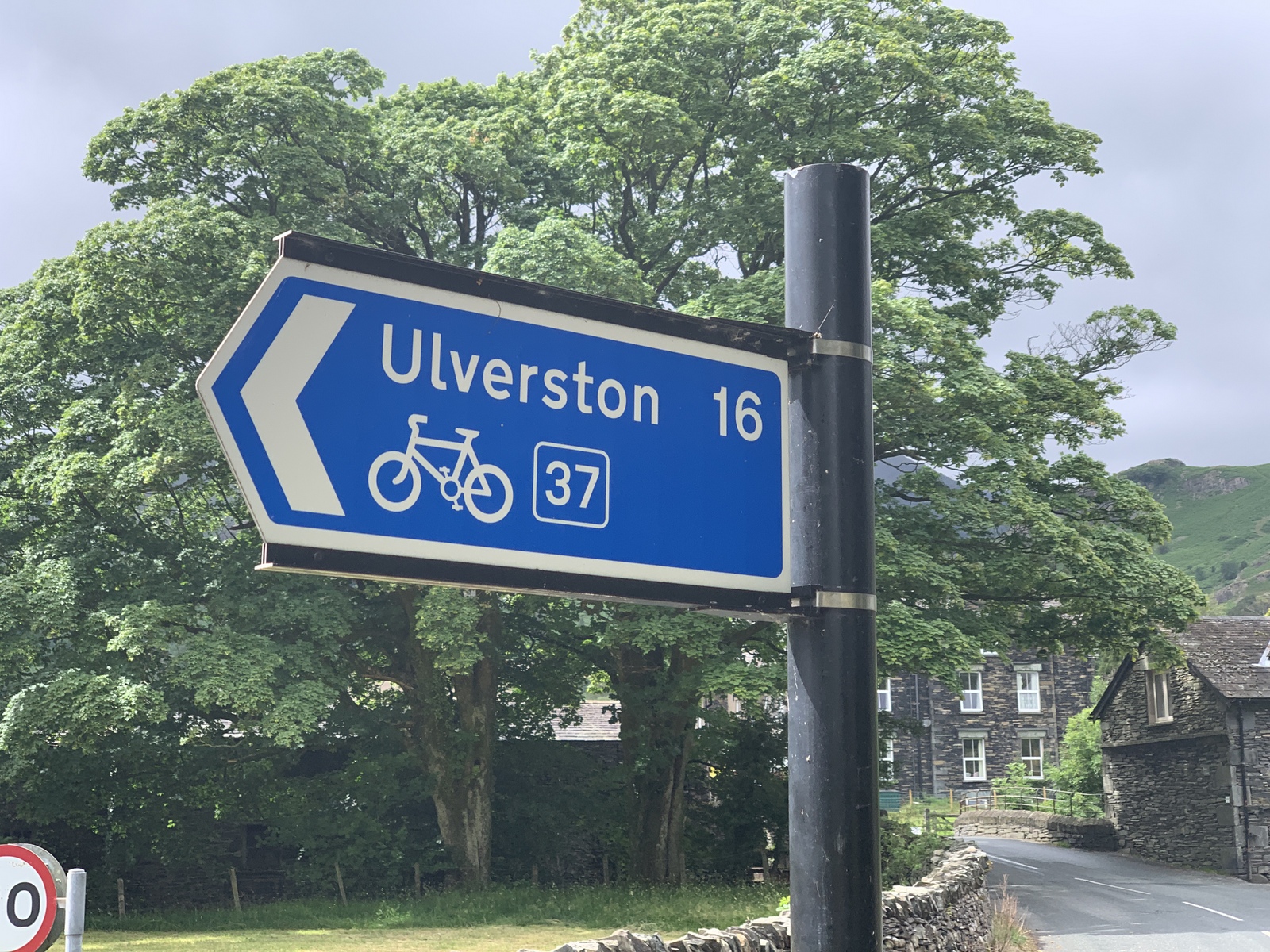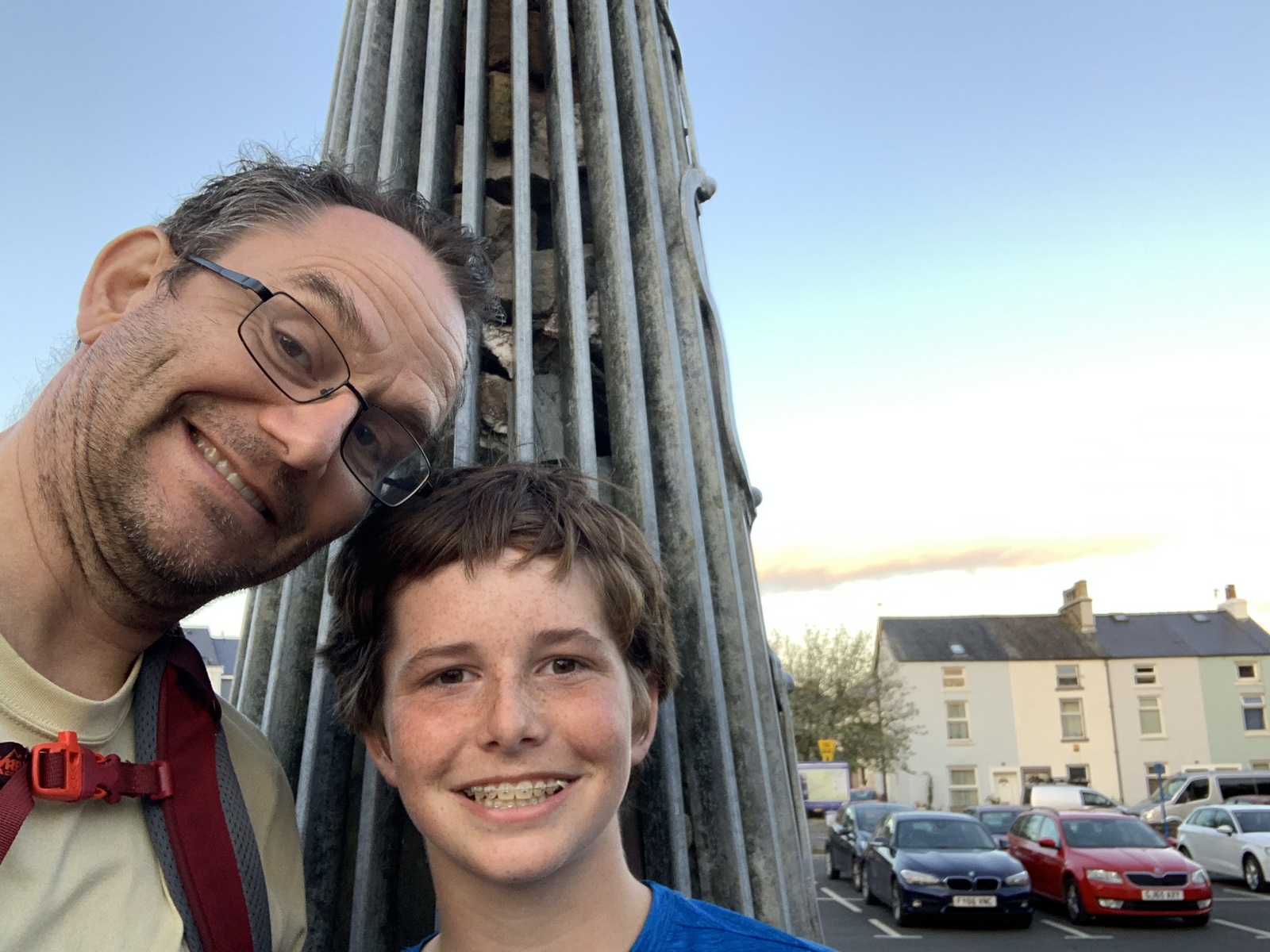
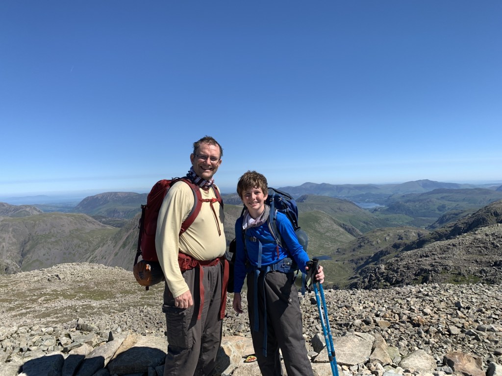
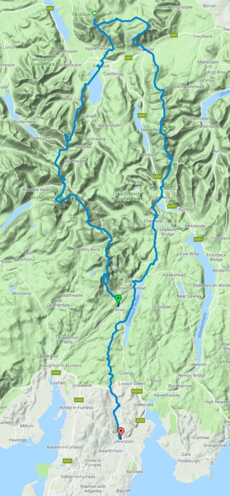
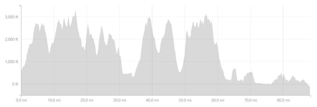
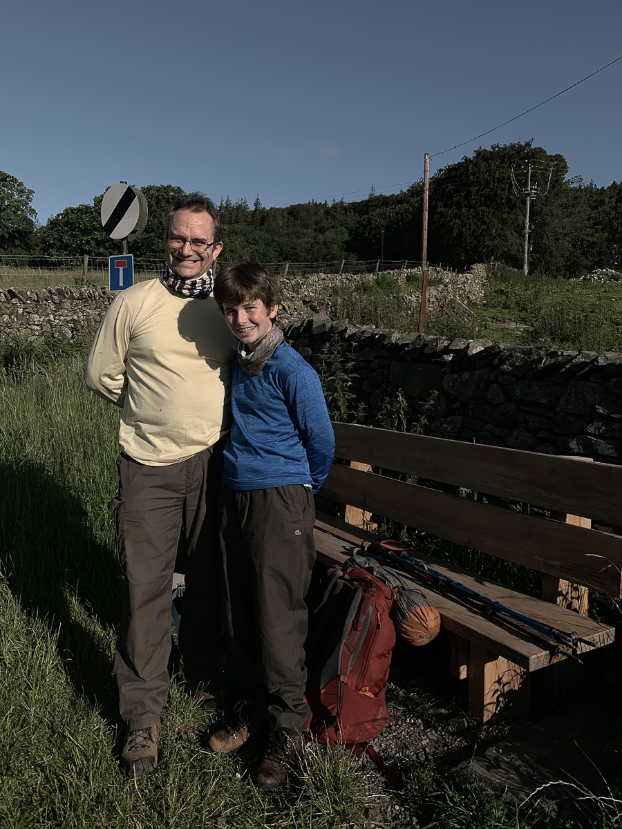
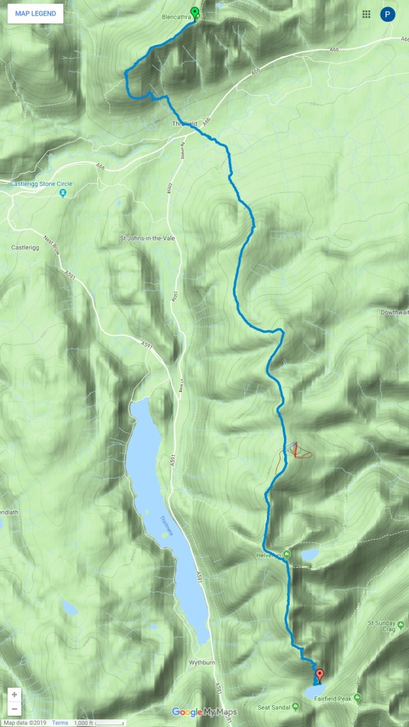
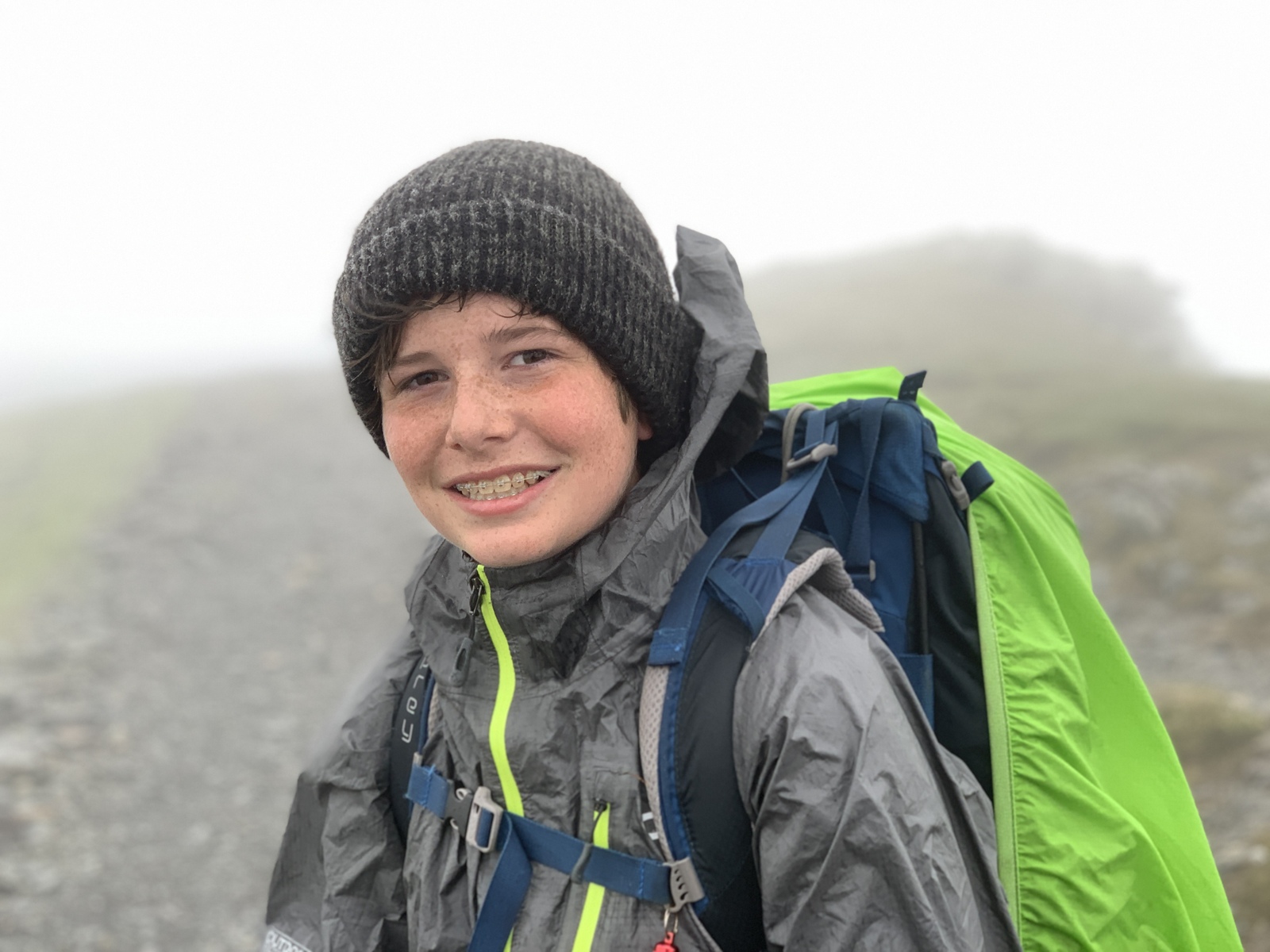
This is a “catch-up” post, written in July 2022, of a fantastic loop trek that a 14-year-old Samuel and I completed in June 2019. When we had lived in Ulverston in 2010 and 2011, Samuel had been too young and I too inexperienced for extended wildcamping trips. Our 2018 trek in Colorado had given us the taste for returning to the Lakes for some high adventure. In summary, our Lakes loop started at Torver in the southern Lakes, went north up the western fells including Coniston Old Man, Scafell Pike, Dale Head, and Cat Bells. After a recovery night in Keswick, we finished the route with Skiddaw, Blencathra, the Helvellyn ridge, and walking via Grasmere and Coniston Water to Ulverston. The trip included the most memorable night on Dale Head where the weather was perfect with a great sunset and sunrise. Equally memorable was nearly getting blown off Helvellyn ridge two days later. Unfortunately, I did not write much at the time, but I did make a memory book which this blog is based off. The statistics recorded with my Garmin Instinct were a total of 87 miles in 53 hours of hiking with 23000 ft of elevation change. The trip remains a fantastic memory which we try to replicate. Repeating treks does not work well for us, as much of the fun is the working out where to go and the sense of unknown. This trip was an ideal “next trek” for Samuel with a great combination of challenge, fun, and tremendous views.
The post includes (1) favourite photos; (2) trek overview; (3) daily trail notes and summary and photos.


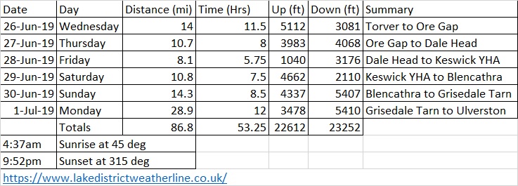
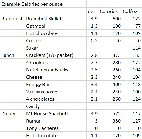
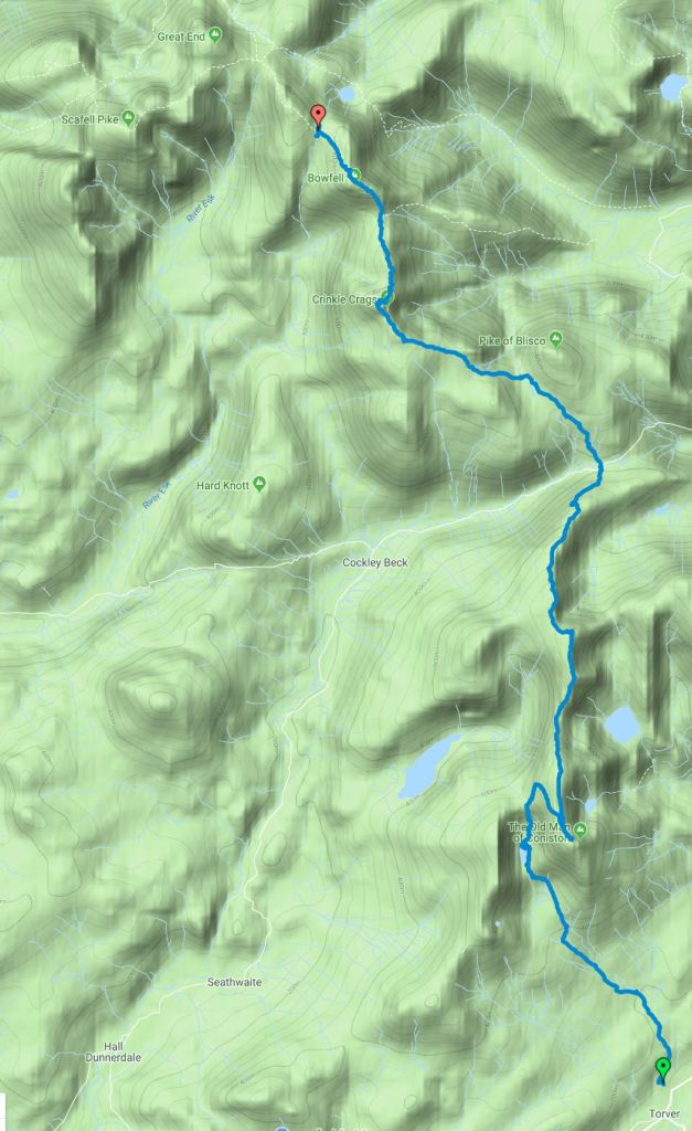
Day 1, 26 June 2019: Torver to Ore Gap. 14 miles in 11.5 hours, 5112 ft ascent.
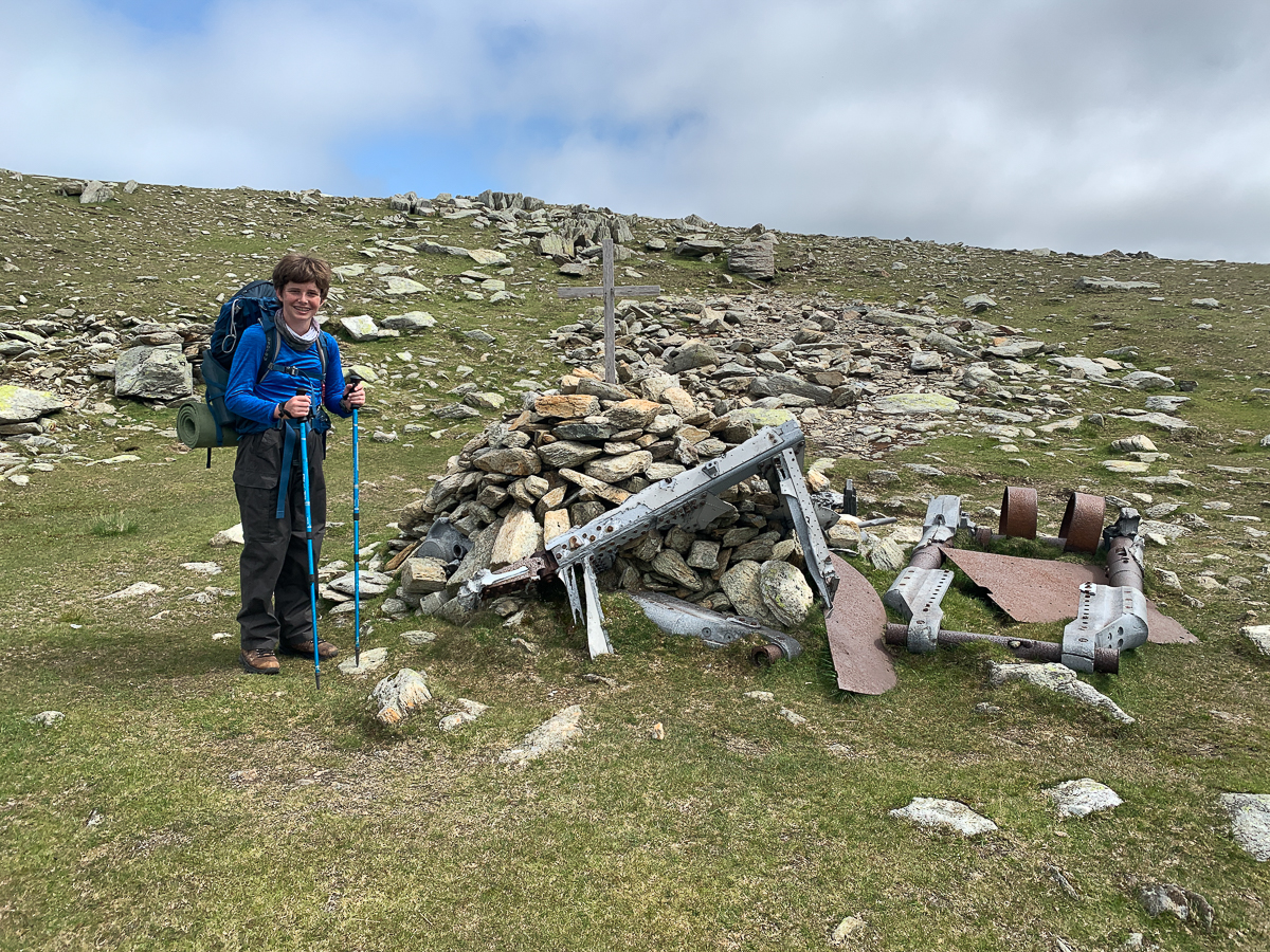
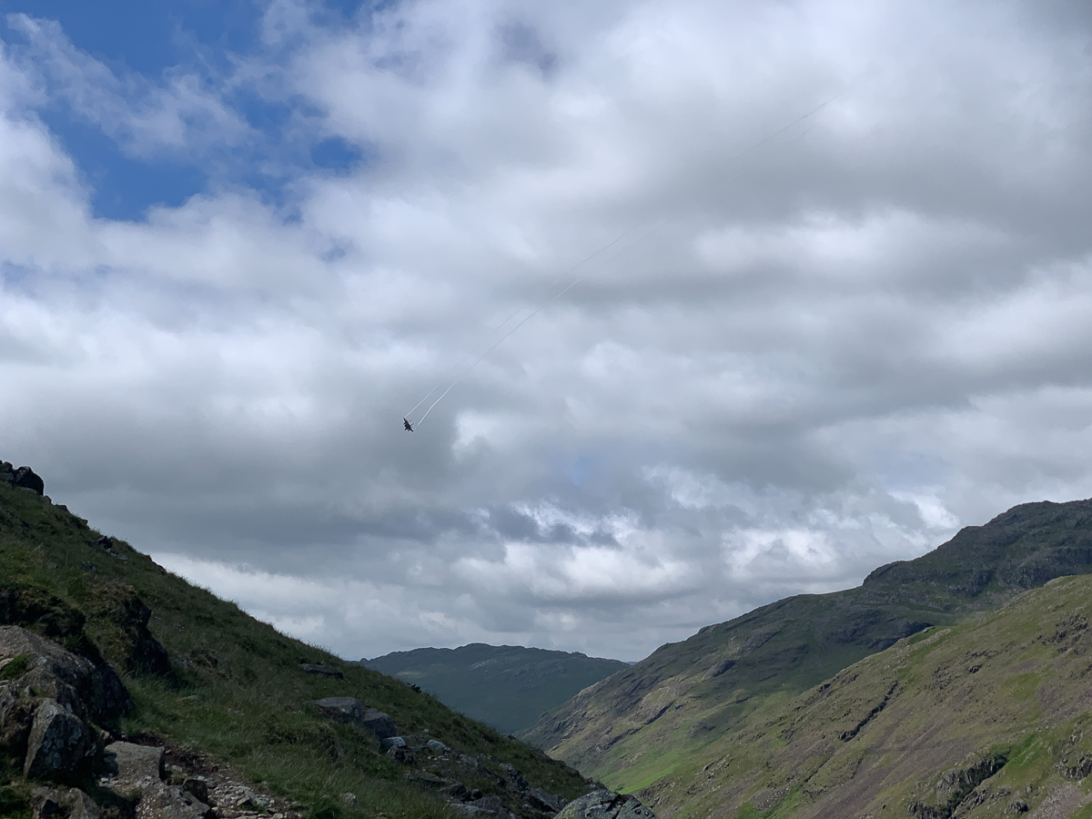
Trail notes: Via Goats Water, Coniston Old Man, ridge to Swirl How, Great Carrs Memorial (all nice paths). Down to Wrynose Pass – fighter jets flew by. Up to Red Tarn – got water – long slog up to Crinkle Crags and hot! V.V Rocky. Dinner @ 3 Tarns. Had forgotten sausage rolls and cheese in the fridge. 5 boils (monitoring Jetboil gas usage).


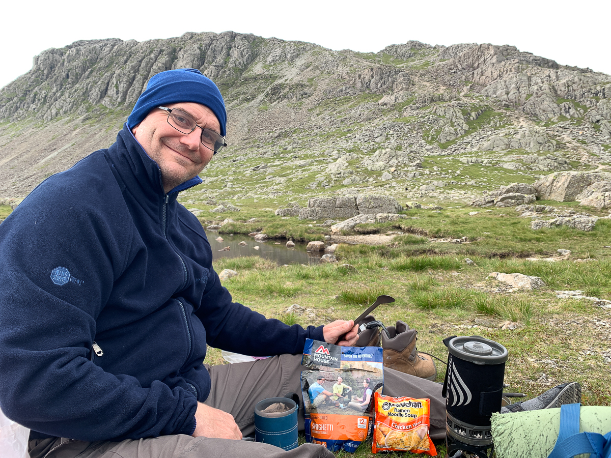

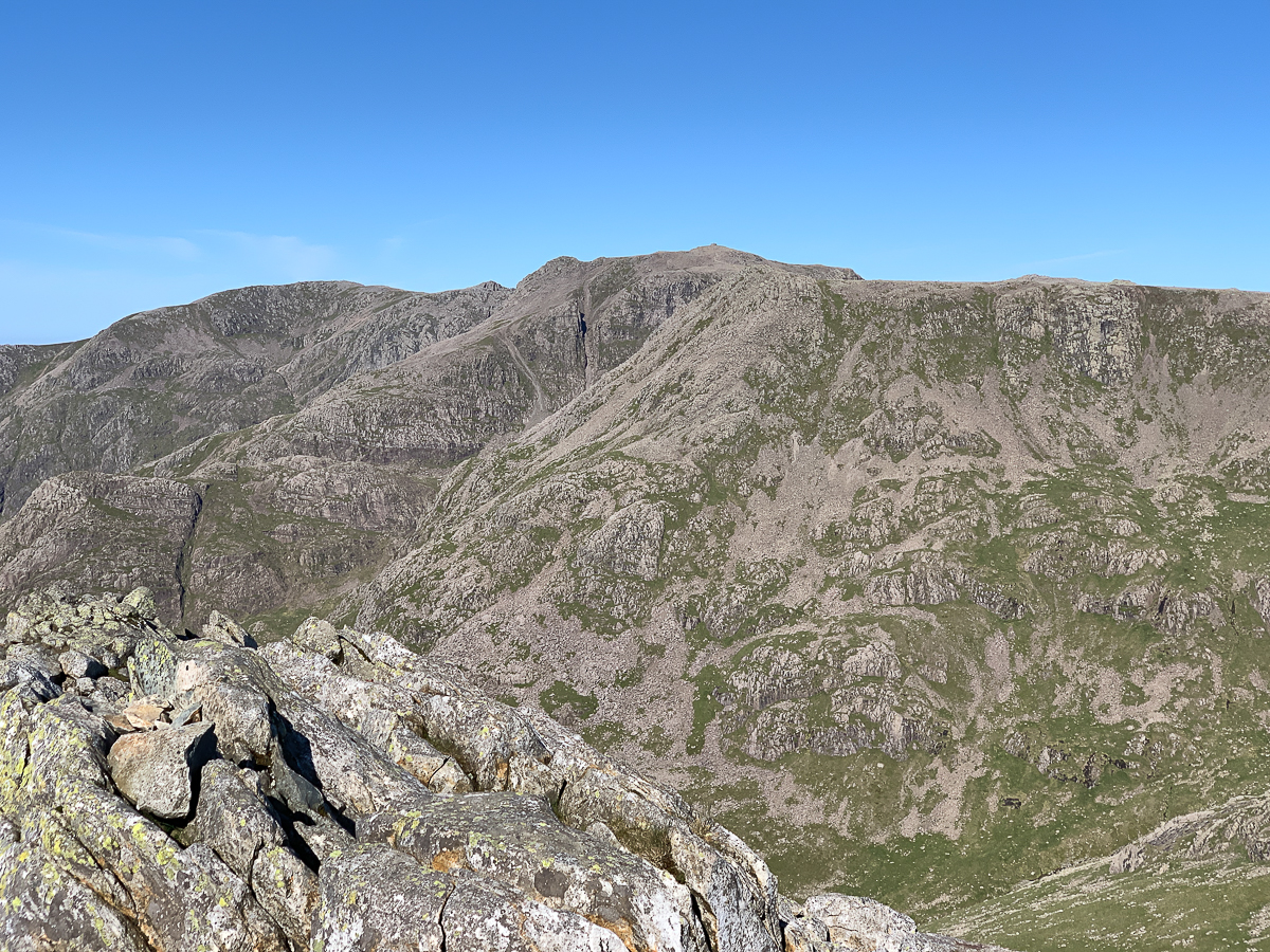


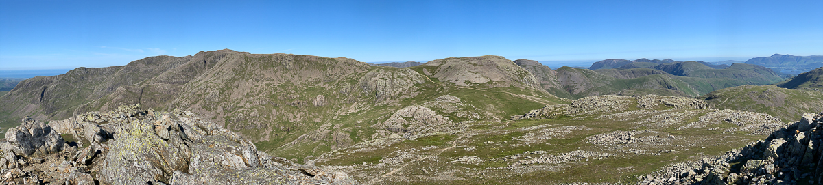
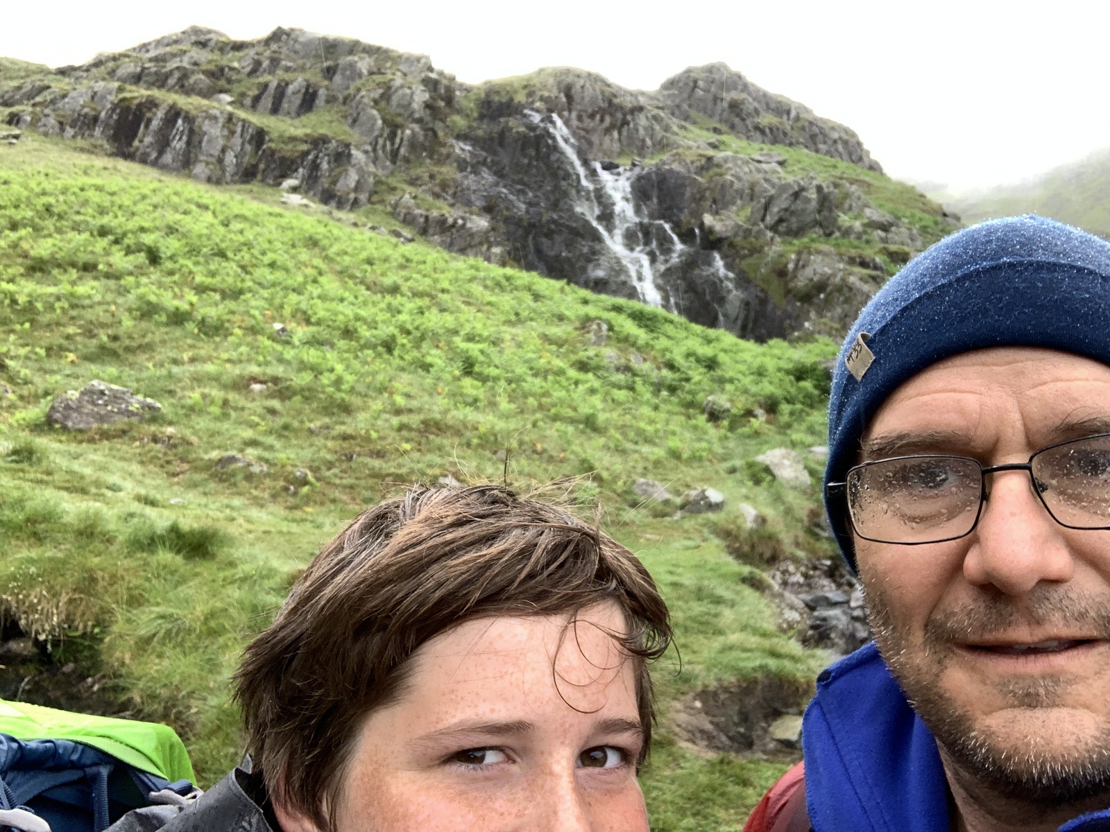
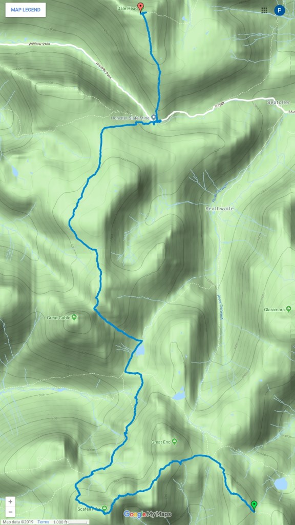
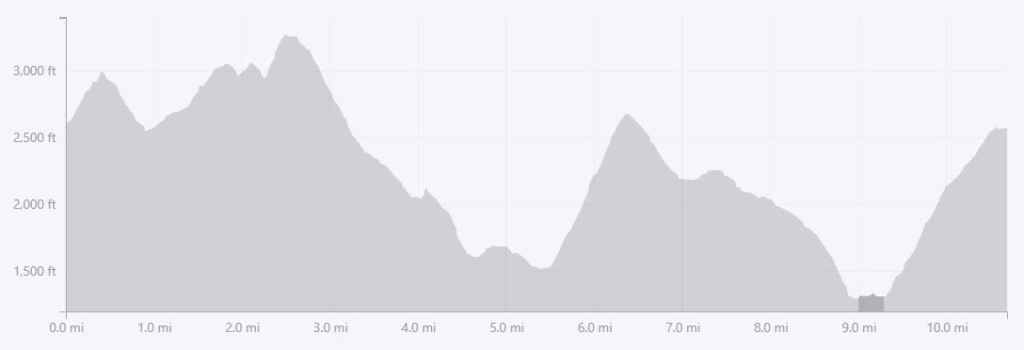
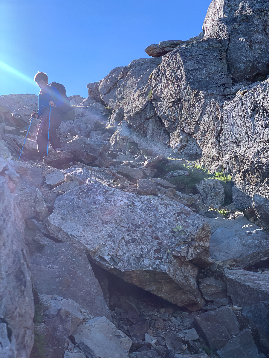
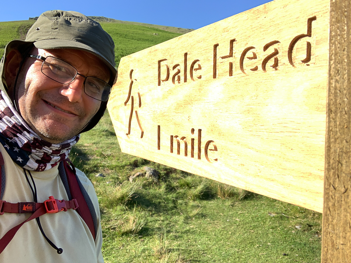
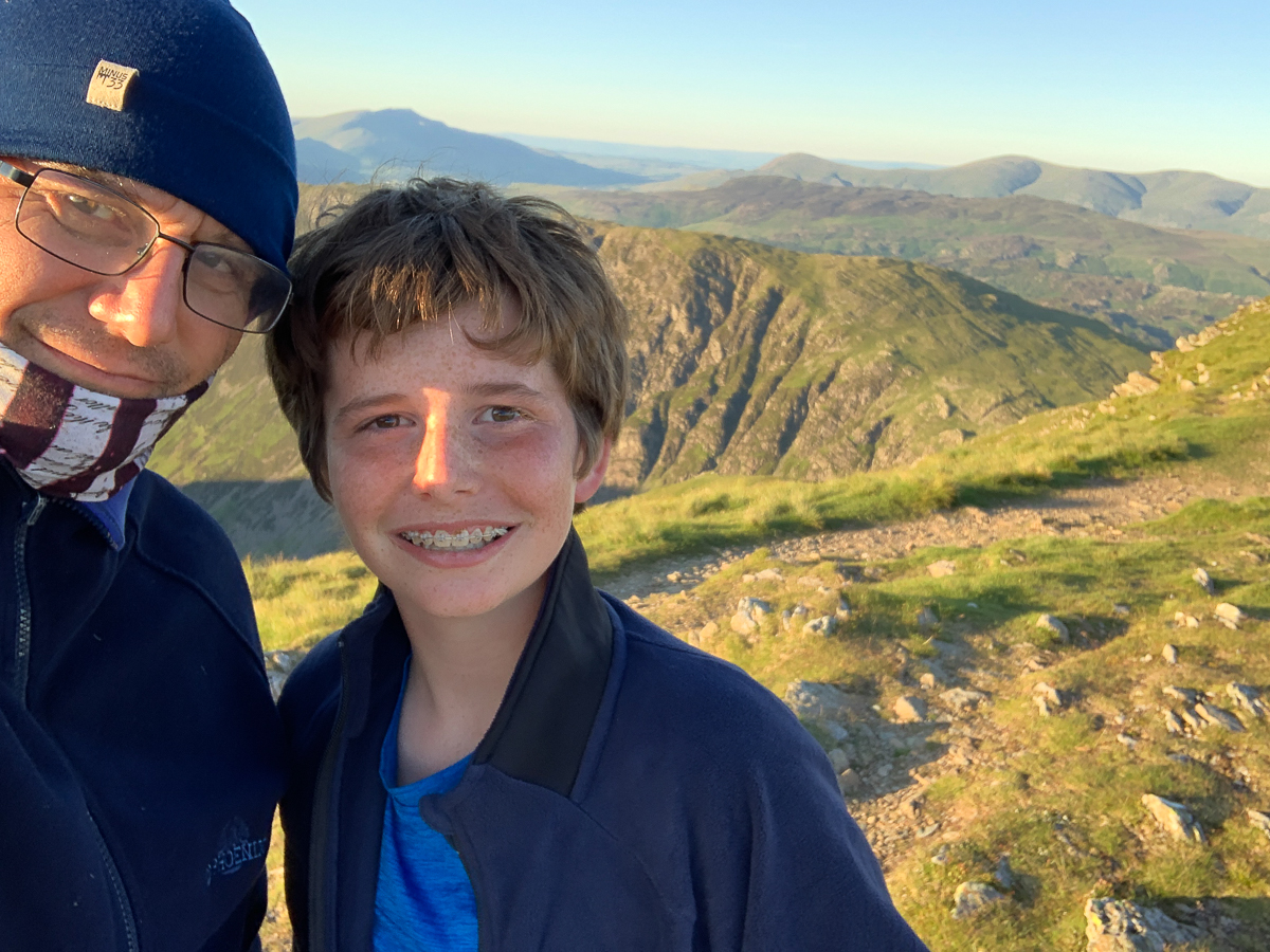
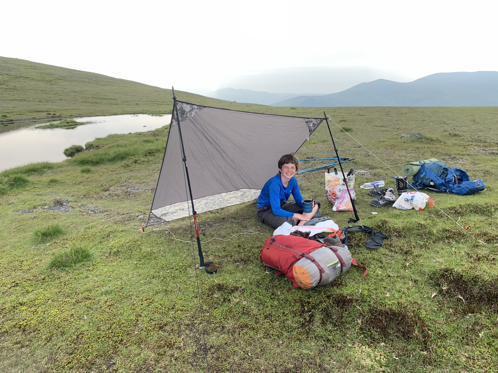
Day 2, 27 June 2019: Ore Gap to Dale Head. 10.7 miles in 8 hours, 3983 ft ascent.
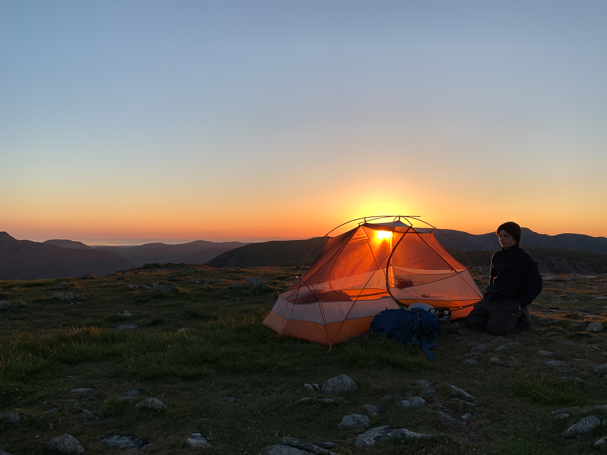
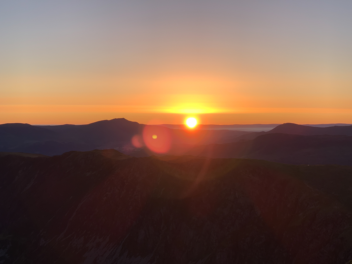
Our experience on Dale Head is arguably our best ever. Words and photos cannot capture it. To have experienced such a sunset and sunrise alone as father and son is a tremendous blessing. We did not expect it. But such things happen when you “get out there.” That is part of the adventure.
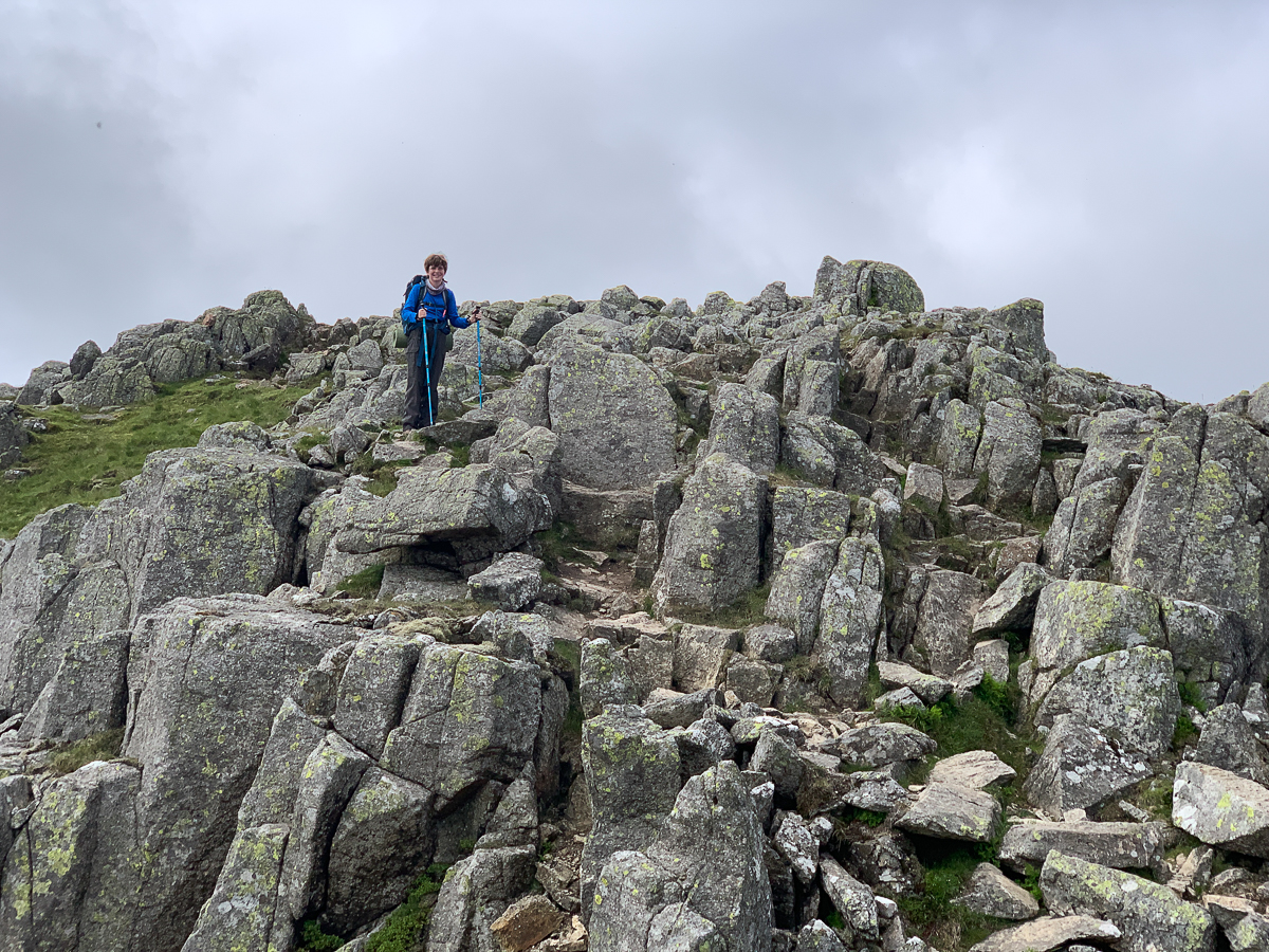
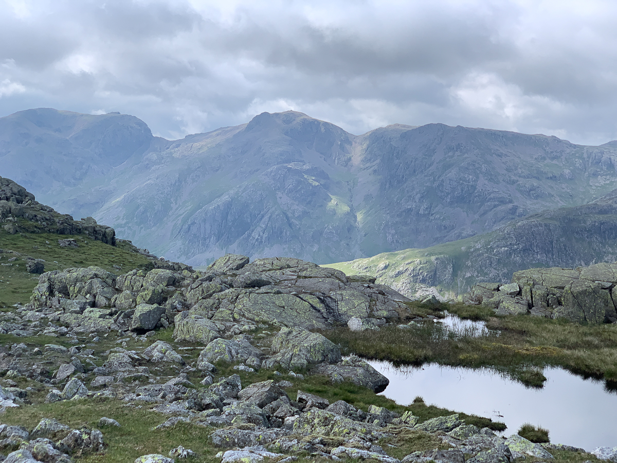
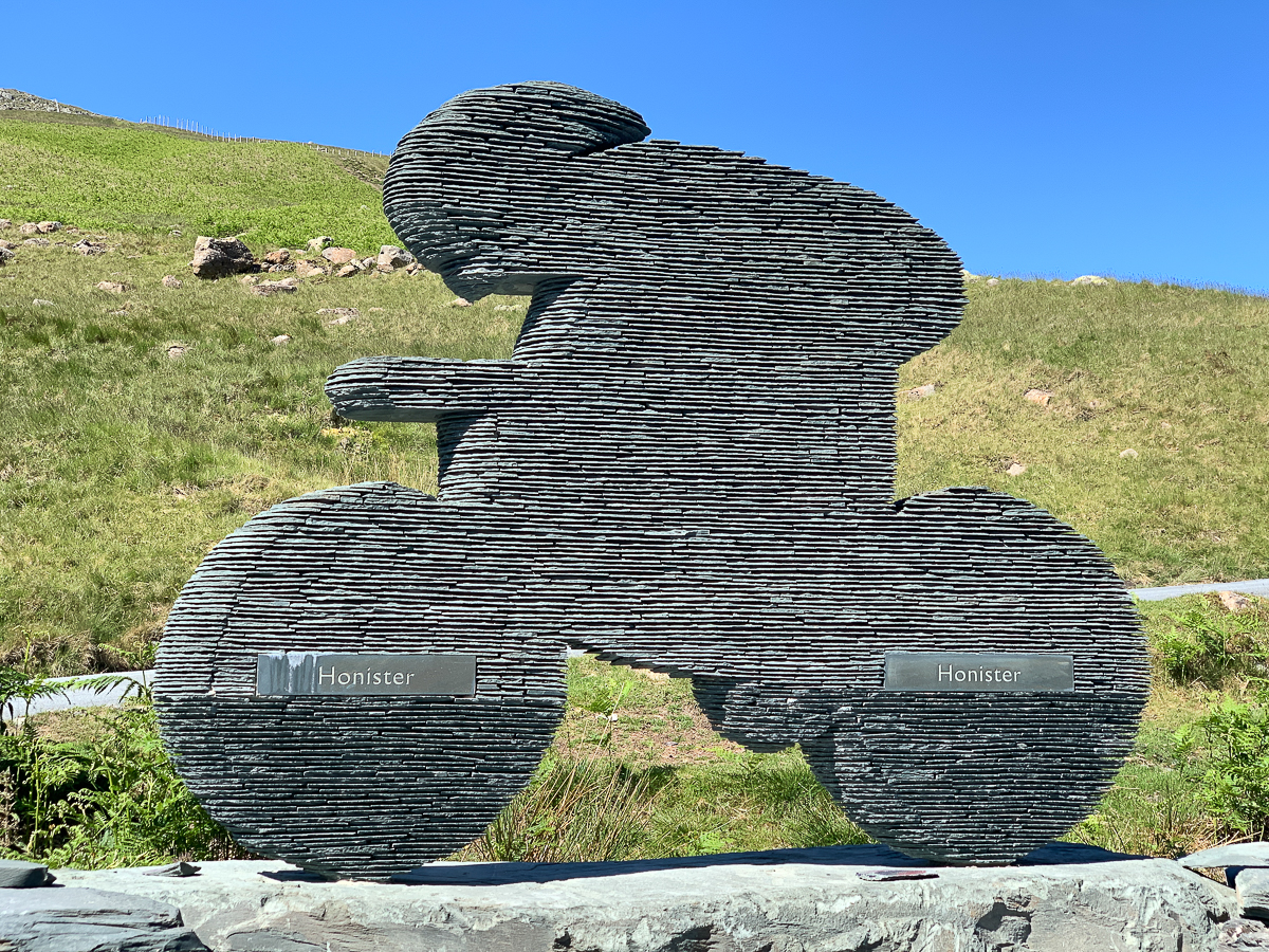
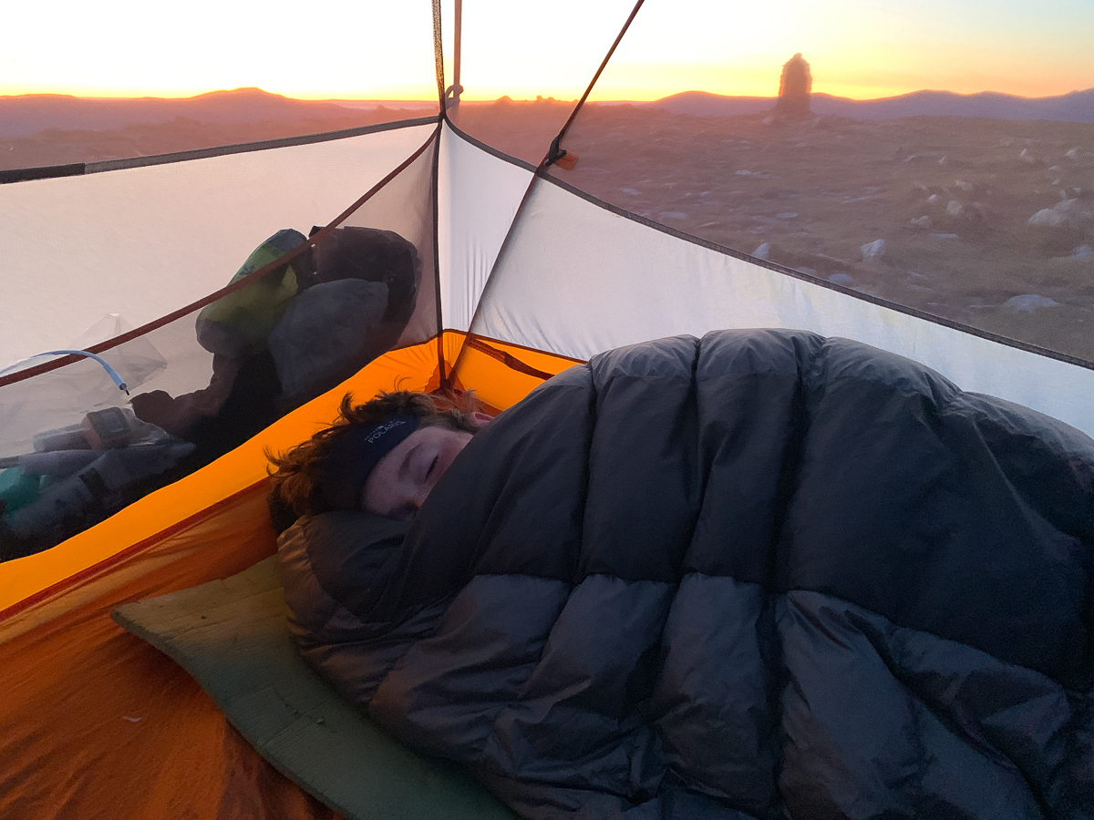
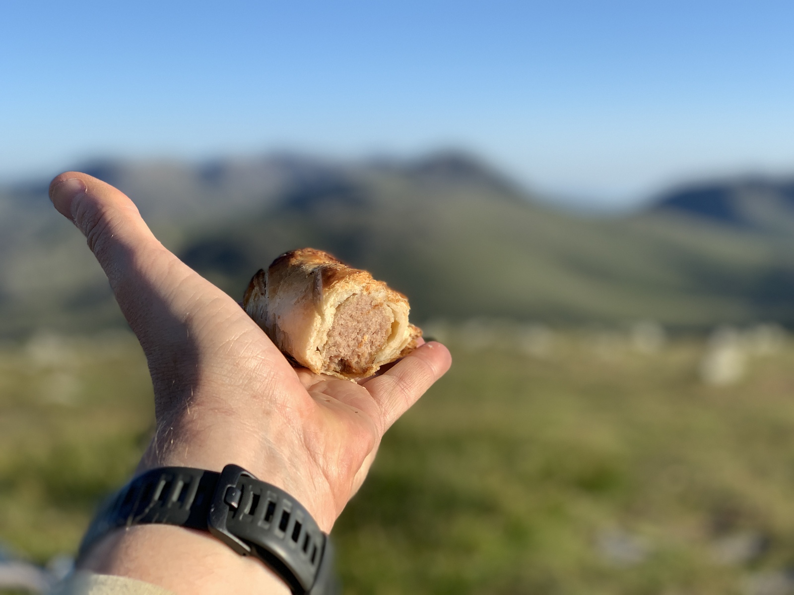
Trail notes: Up ~7am. Restless night. V. light. Spicy bfast – ick. Liked Esk Pike for photos. Rough rocks. Up and down a couple of times then Scafell Pike at 10:30. A few others, more after a while. One guy followed us! Down a long way to Styhead – filtered tea water as unsure of route, but v. scenic path to Great/Green Gable saddle – but long uphill. Long rest on Green Gable then down near Moses Trod. Onto Coast to Coast trail and seeing quarry. Best sausage roll ever at Honister Mine + tea + Quavers. No Supper Club @ YHA until 7pm for guests, 2 sandwiches from Honister and more s-rolls for later! Water from YHA then up Dale. Beautiful v.v. clear views – tent on peak – watched sunset, no fly! One other tent. Ready for 4am! 3 boils.


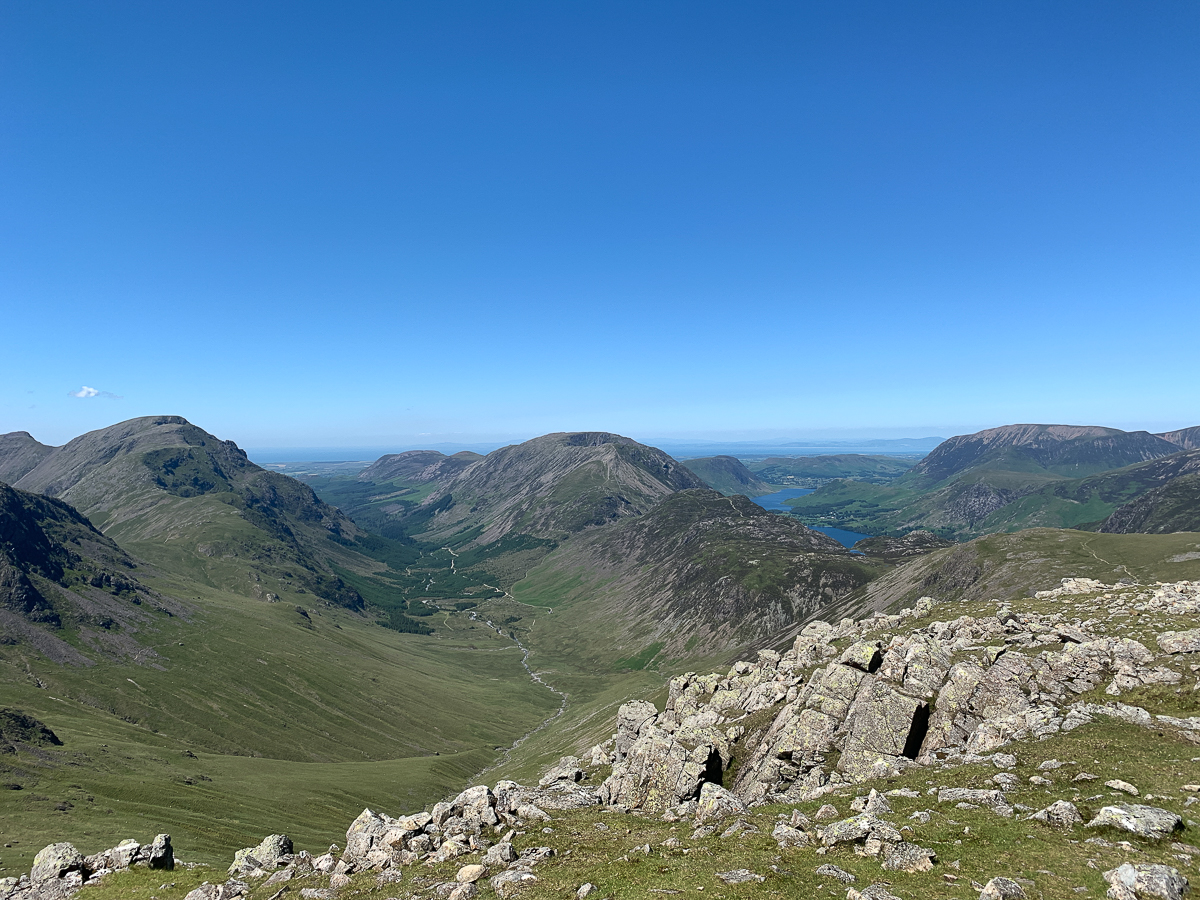


Sunset at 21:52 at 315 deg (i.e. NW), Sunrise at 04:37 at 45 deg (i.e. NE). Wow!


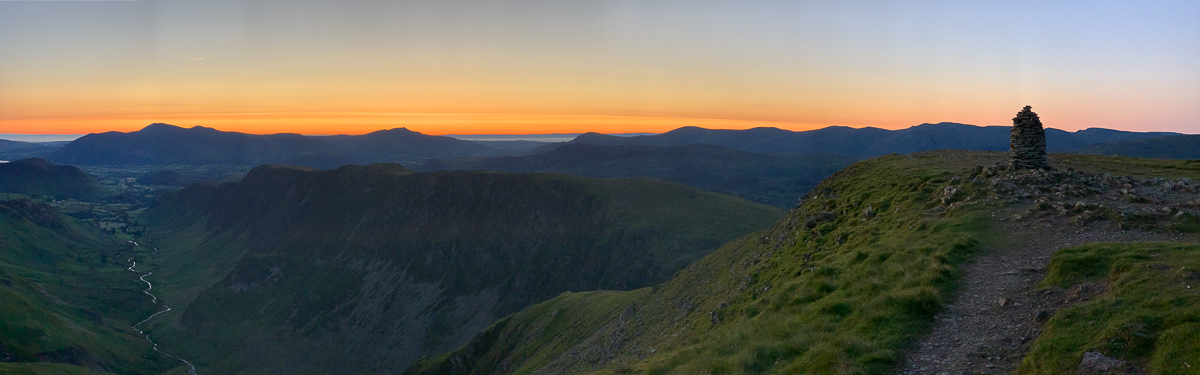
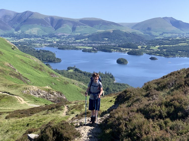
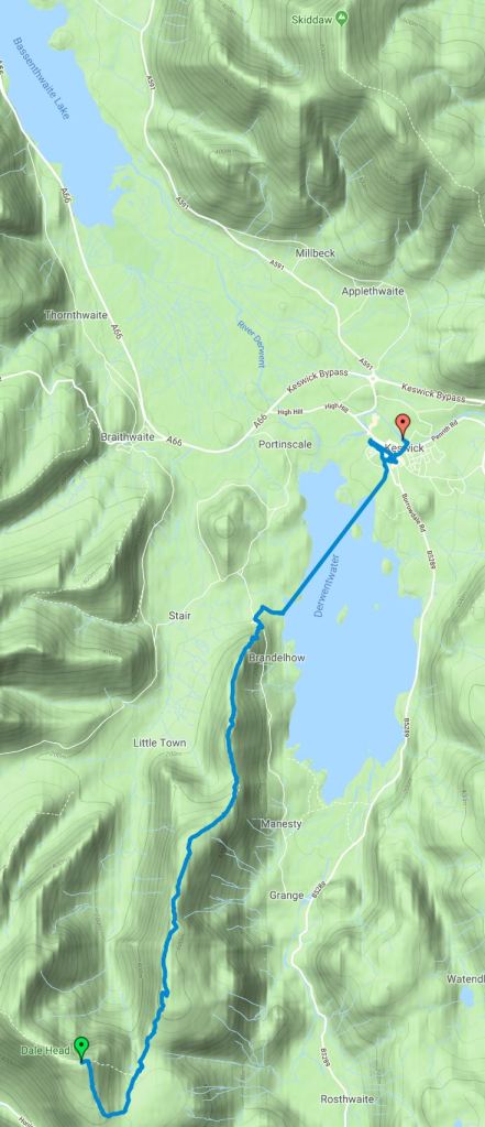
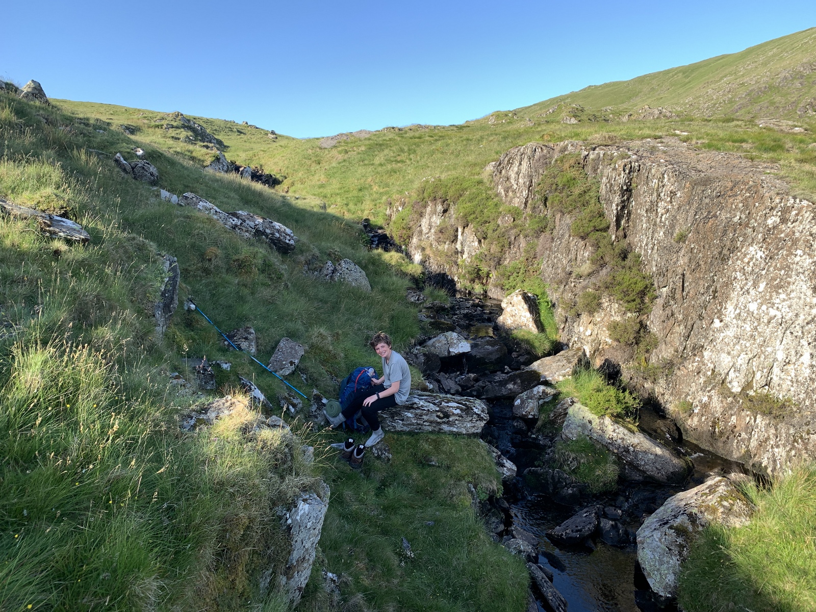
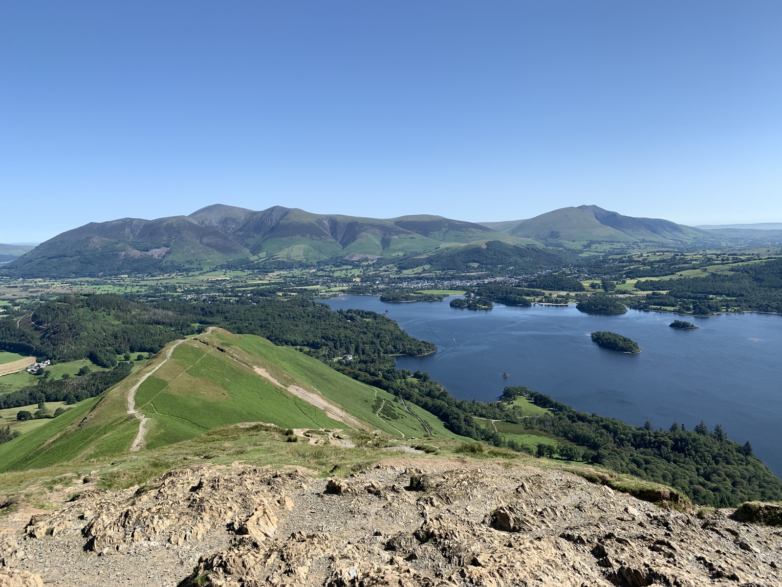
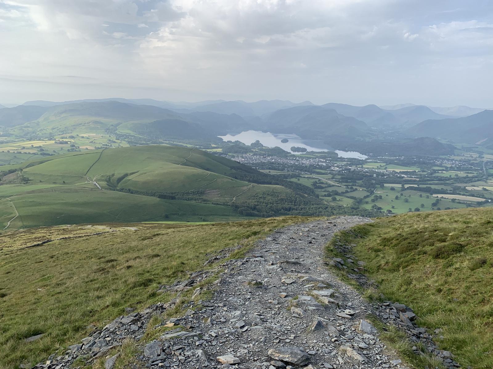
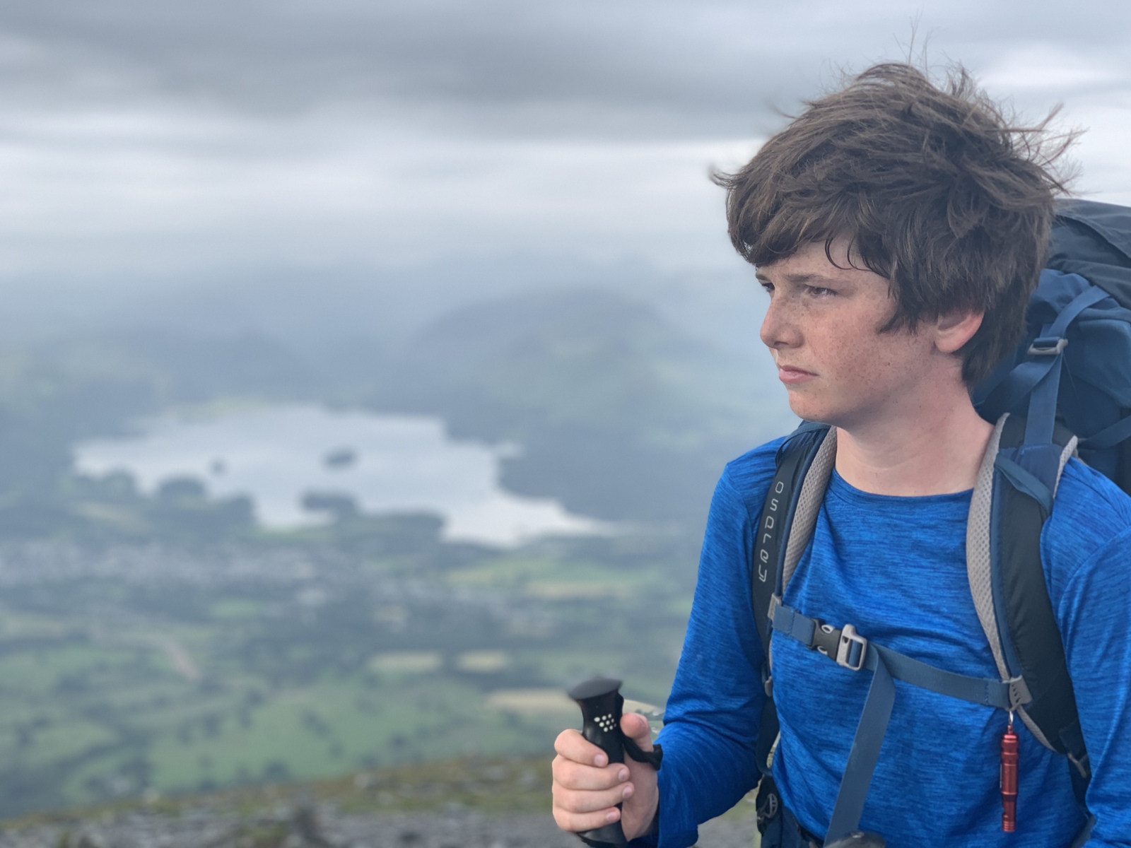
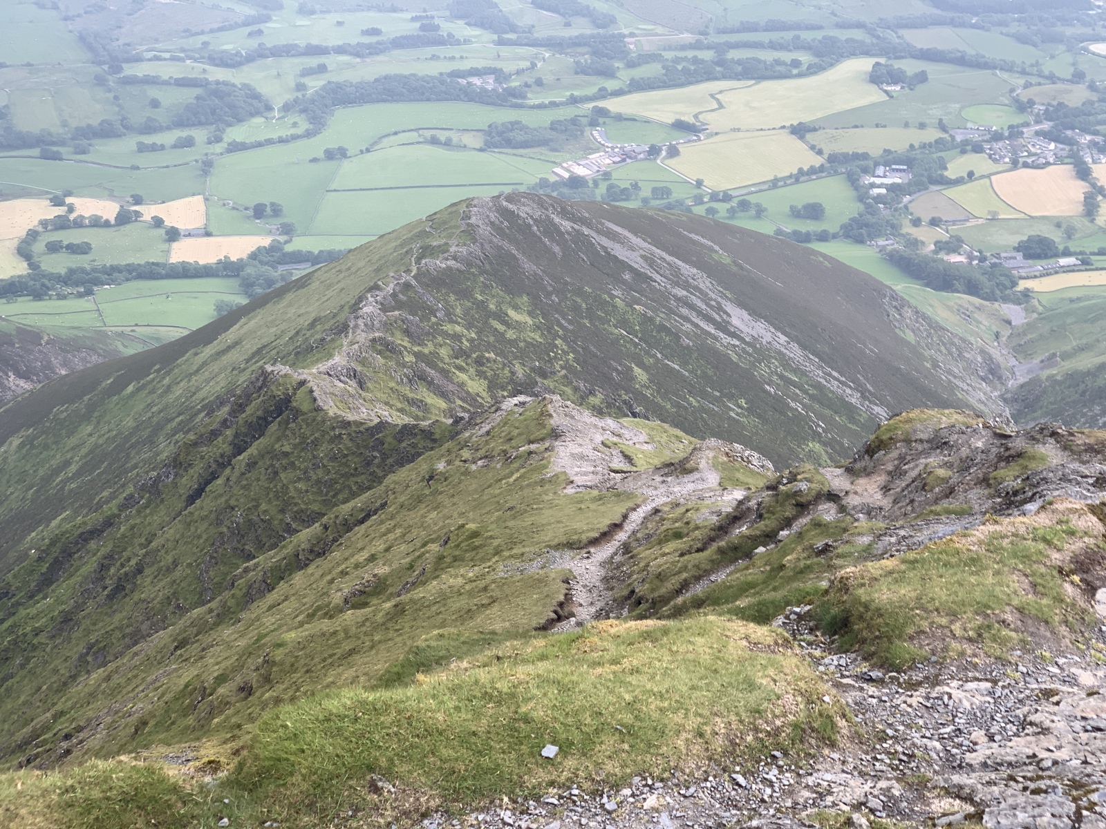
Day 3, 28 June 2019: Dale Head to Keswick YHA. 8.1 miles in 6 hours, 1040 ft ascent.
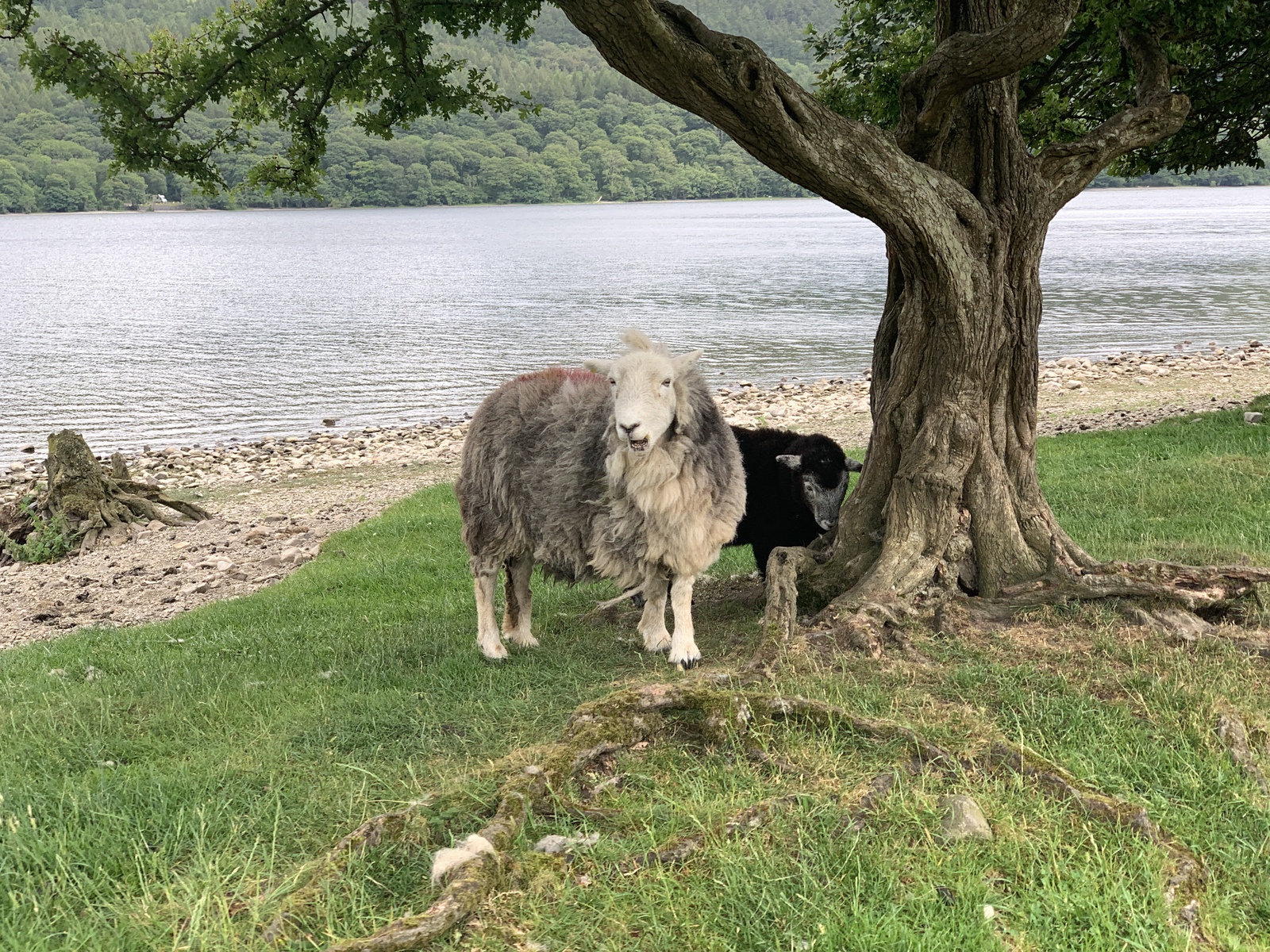
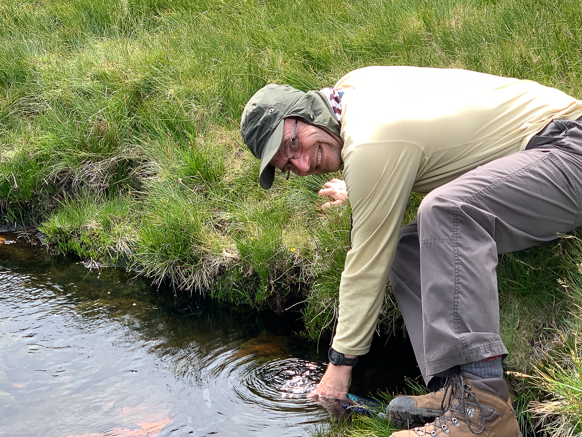
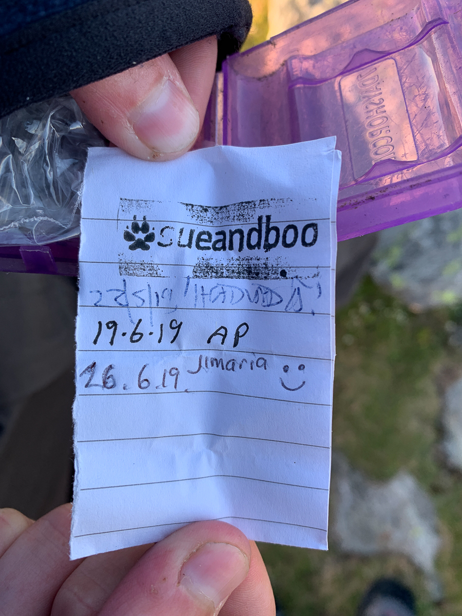
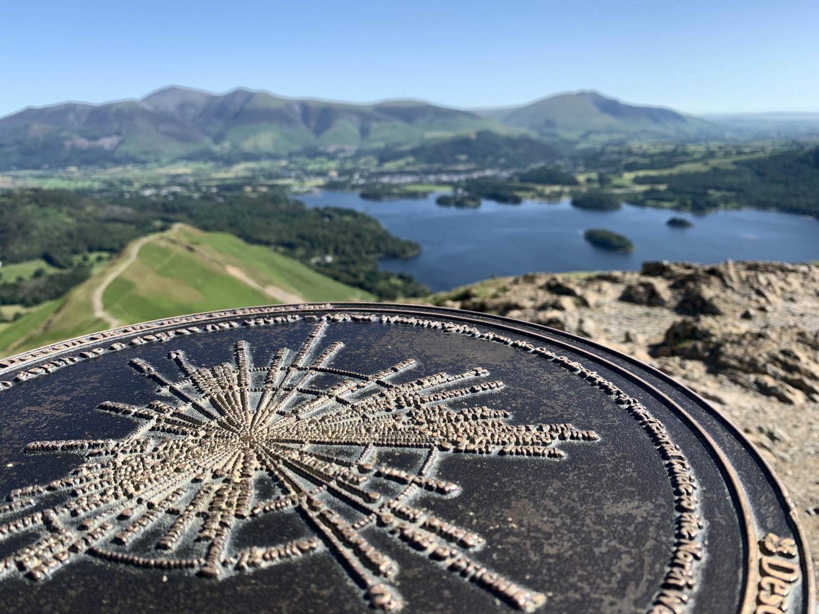
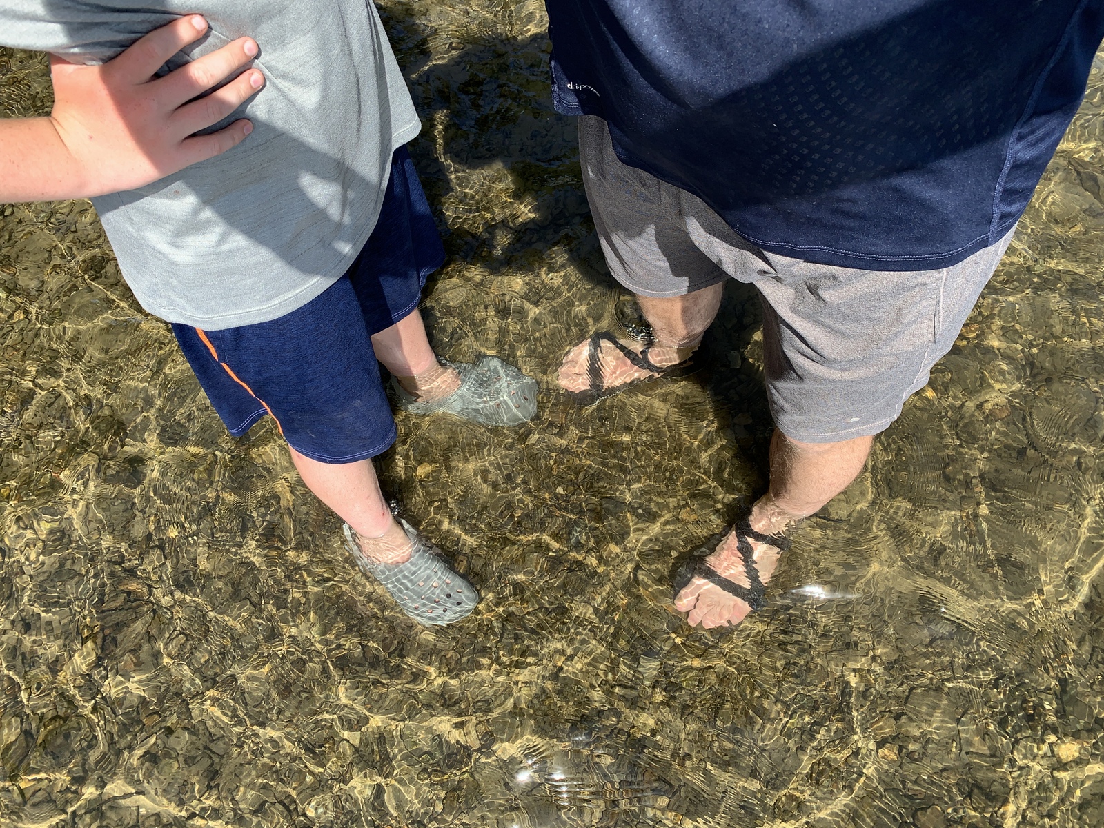
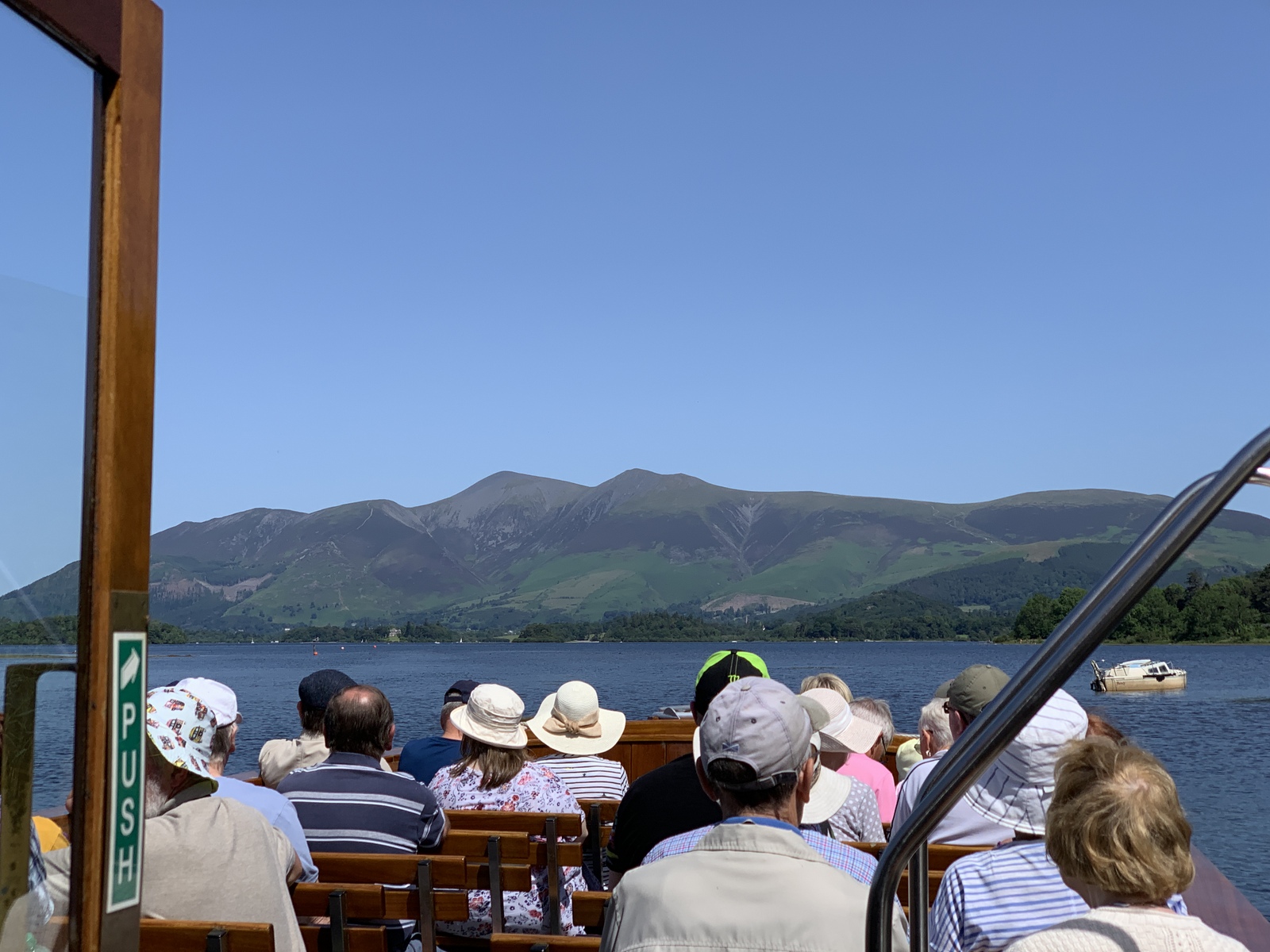
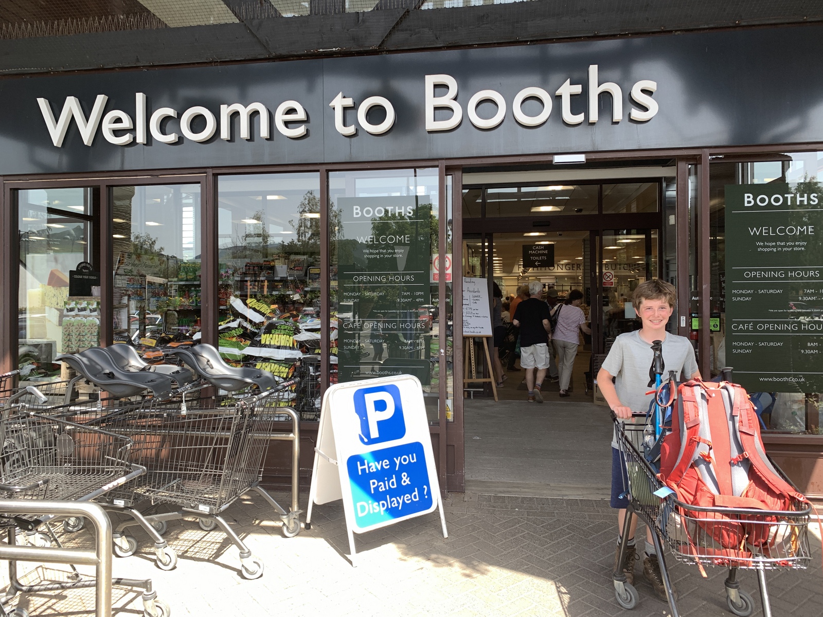
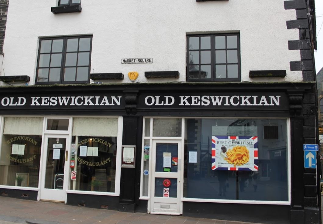
Trail notes: 4am alarm for fantastic sunrise – wow! Enjoyed coffee and pop tart then hot choc + sausage roll. Headed down to get over to Cowbells ridge – perfect river for filtering on the way, with frog! A quick Geocache then along the ridge – finally to the top (after bloody nose explosion) then some running down to the 11:40 boat launch (lots of people), got the anti-clockwise one after skimming rocks and wading. Too much sun today so weary. Keswick to Booths for tea and a few things, then chippie then hostel. Janet, Sarah, Bailey and Grace visited – we resupplied, sorted and showered, into town for dinner and sticky toffee pudding from Booths – then to bed by 8pm! Noisy outside from people and river. Samuel switch from boots to Trail Runners. 3 boils.
With Day 3 being our “rest day”, we decided to take the ferry around Derwentwater to Keswick, cooling our feet off first, then visiting Booth’s for tea (where Bailey lost her first tooth), and a quick snack at the fish and chip shop – before heading to the Youth Hostel to meet the girls.


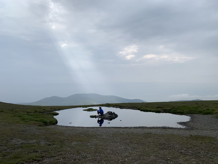
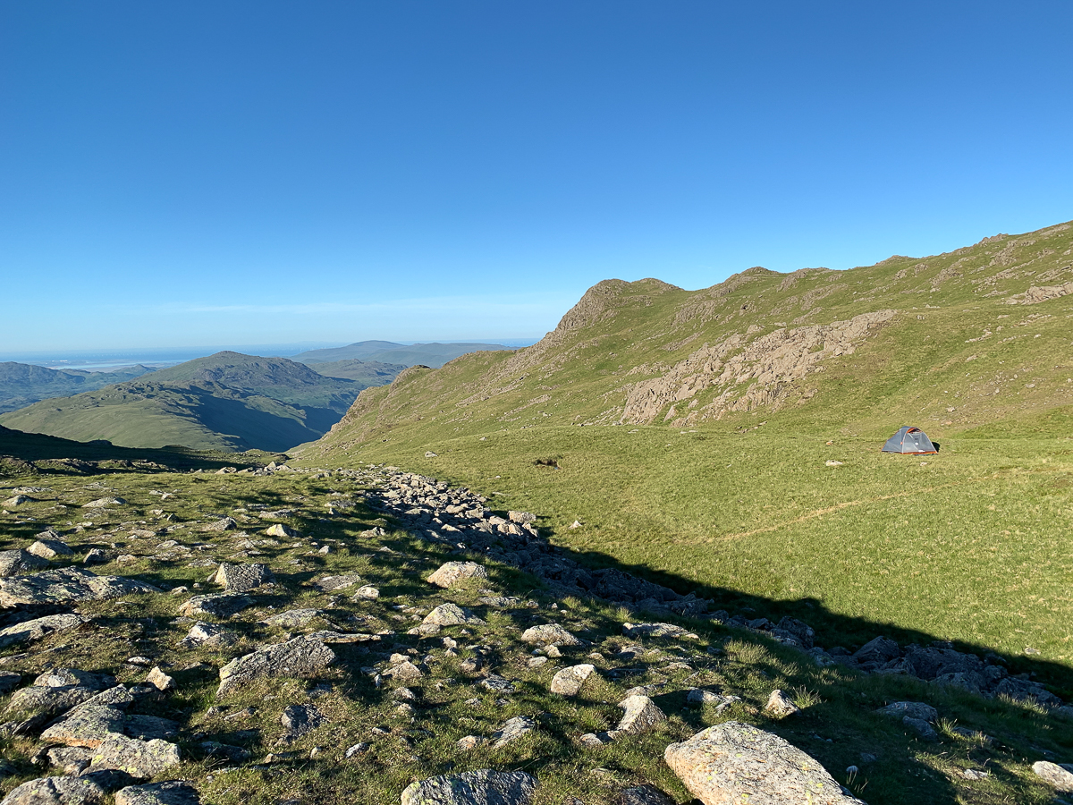
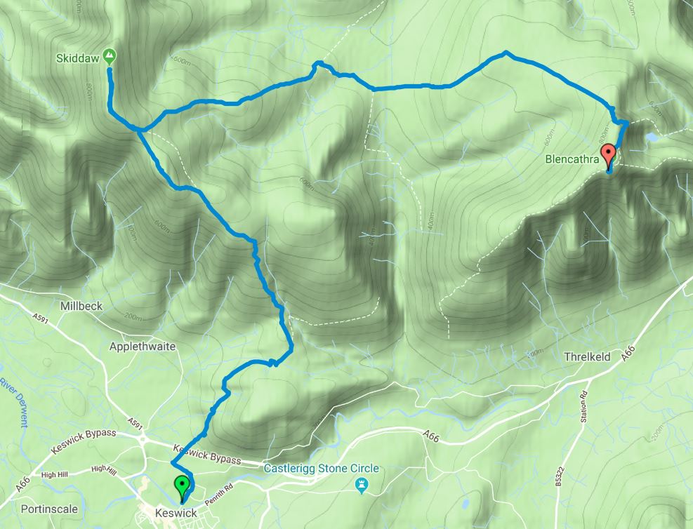
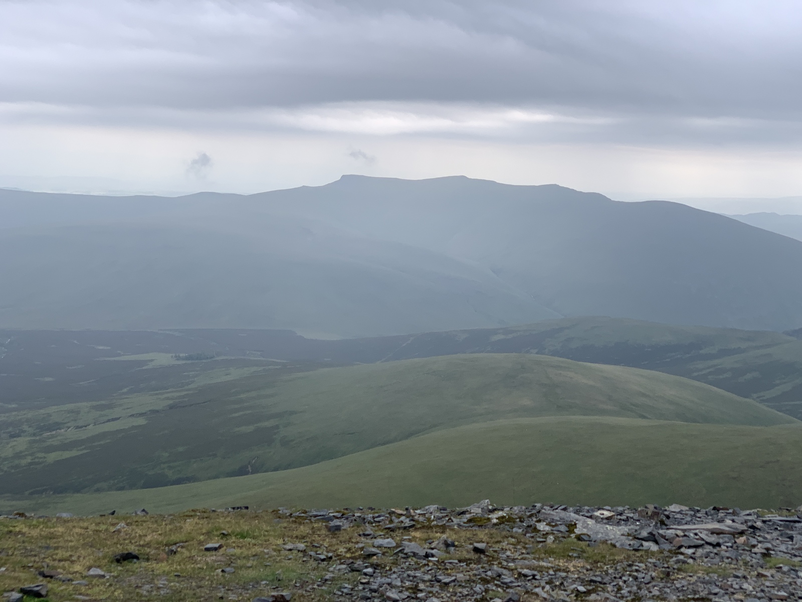
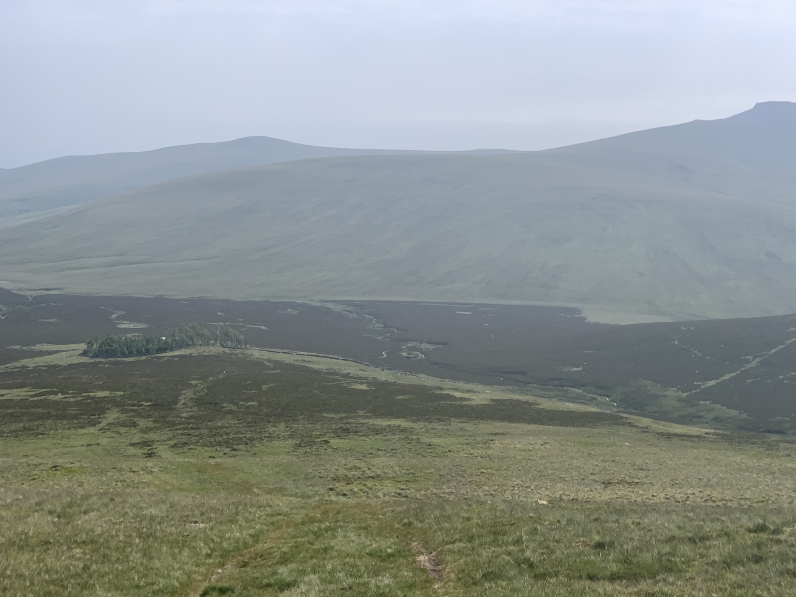
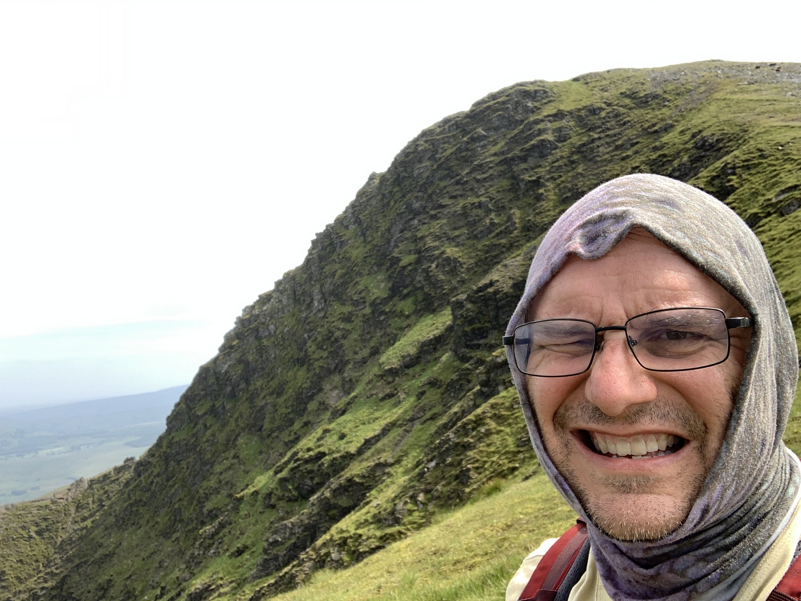
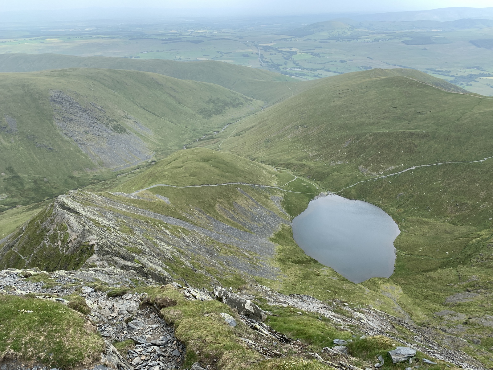
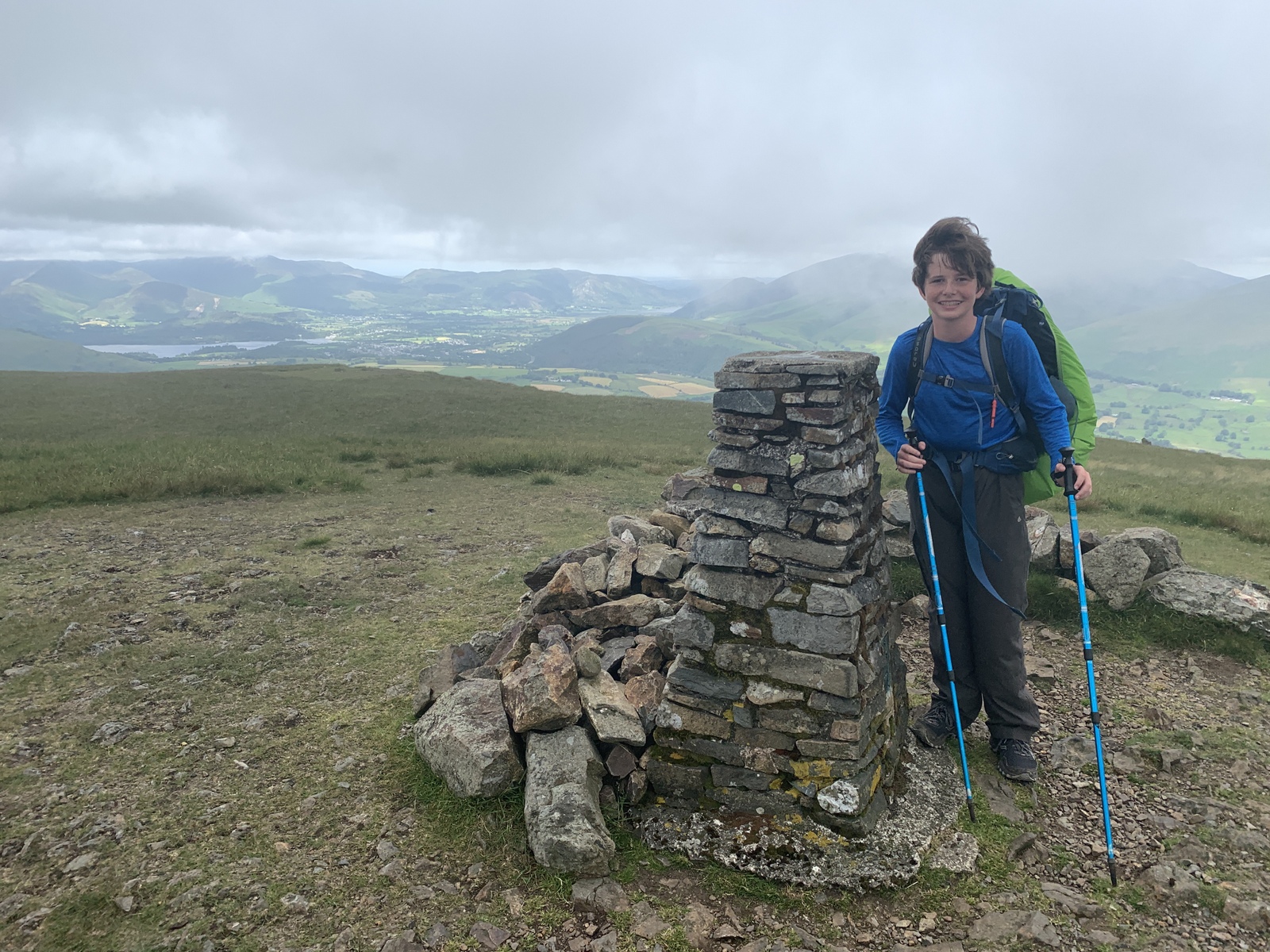
Day 4, 29 June 2019: Keswick YHA to Blencathra. 11 miles in 7.5 hours, 4662 ft ascent.
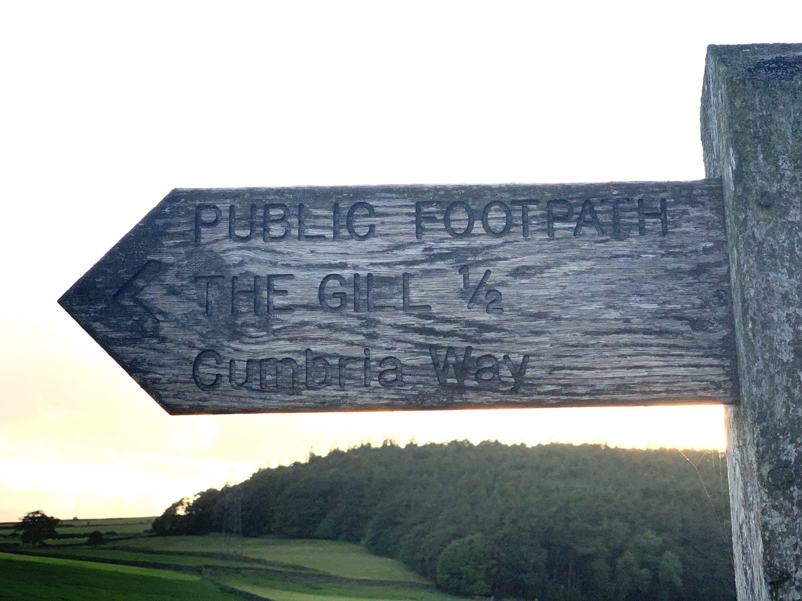
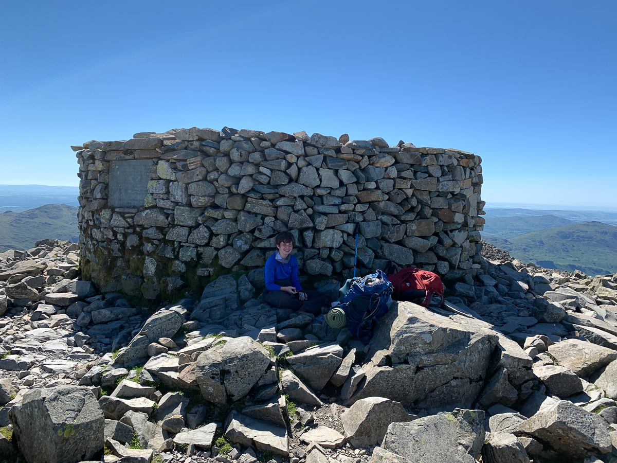
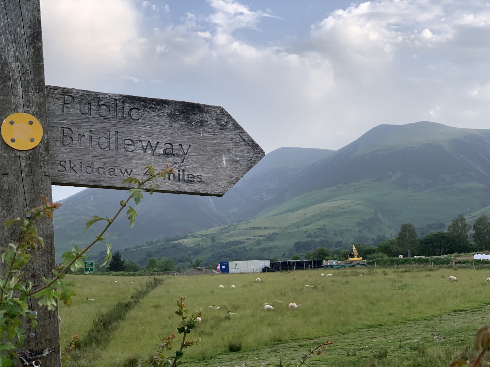
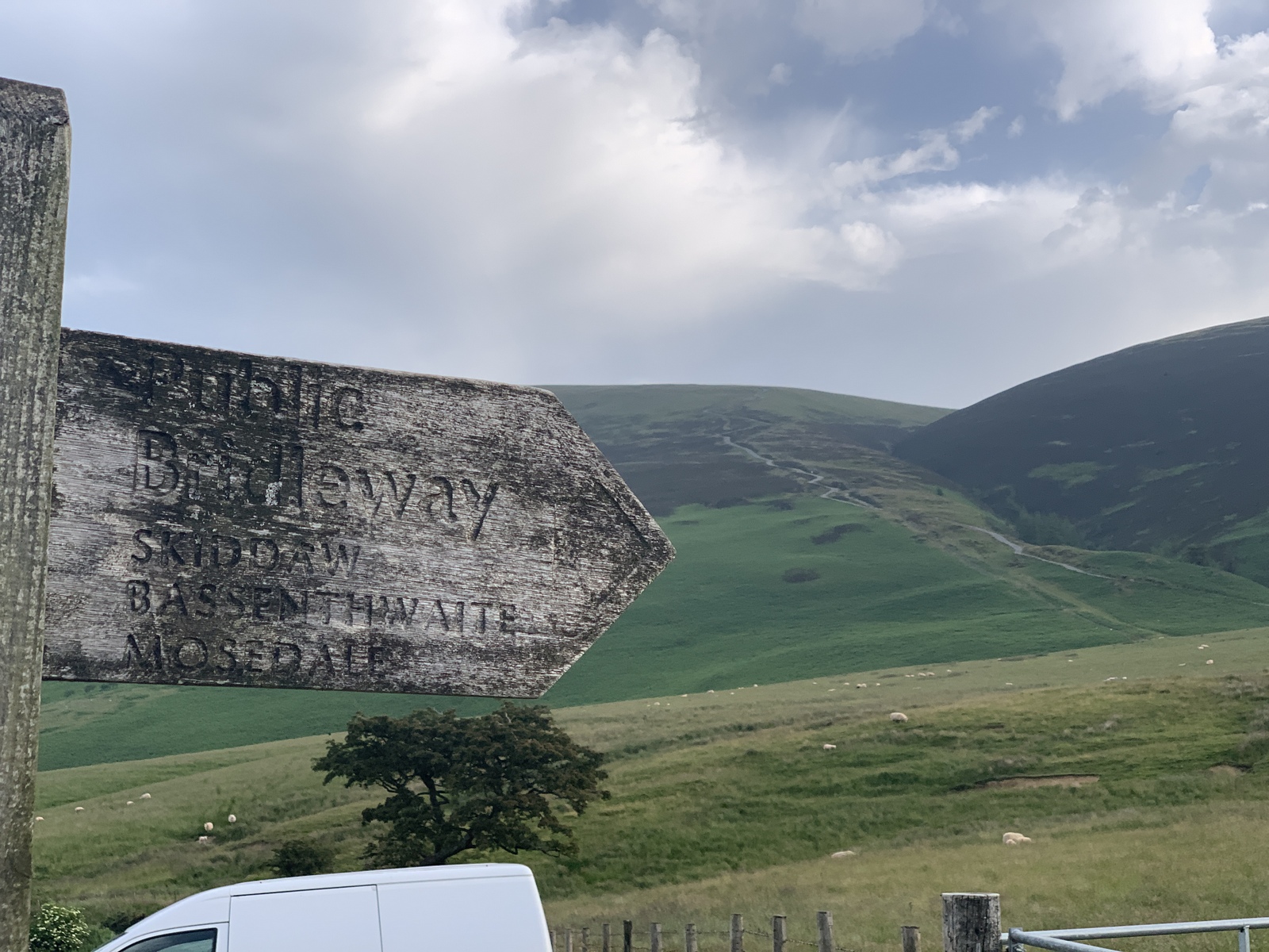
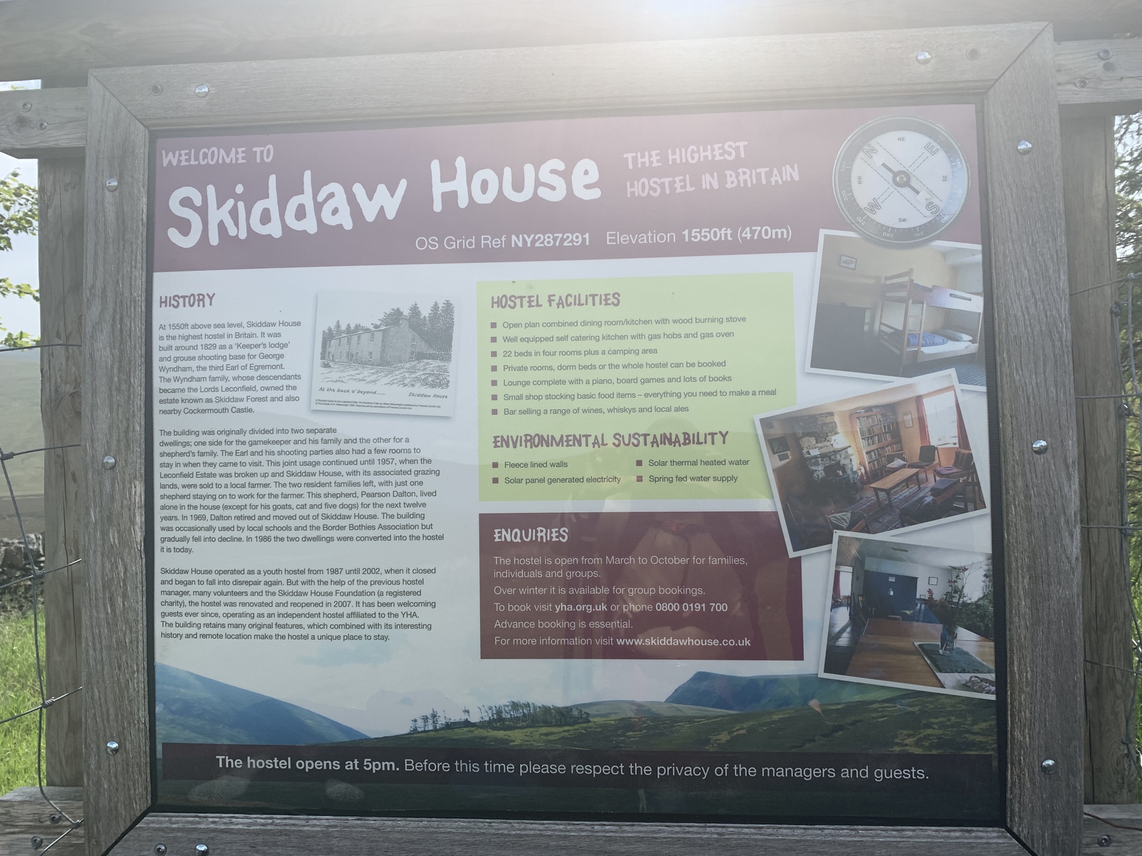
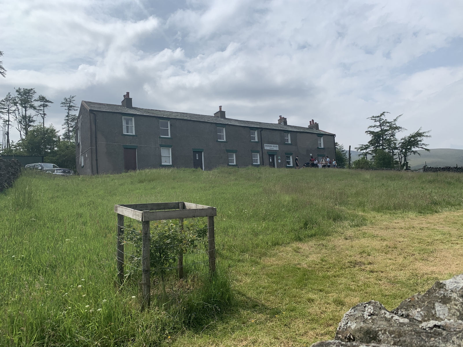
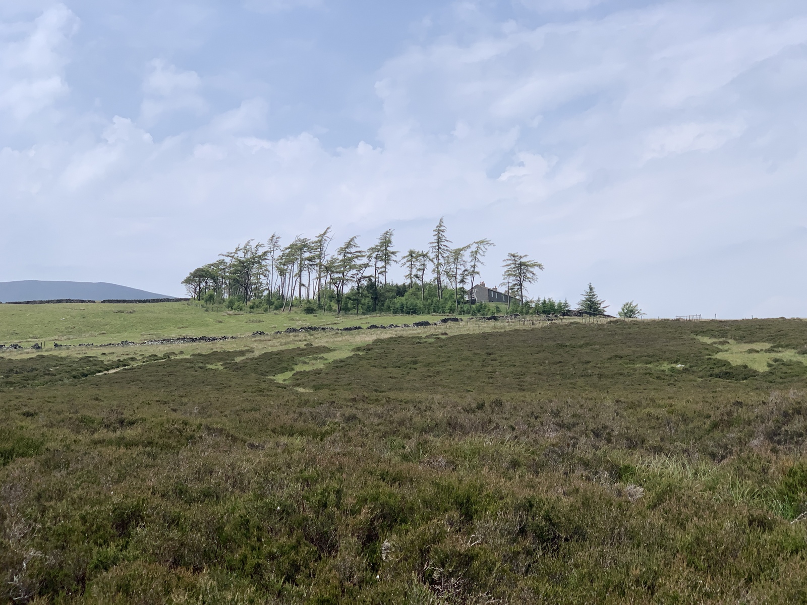
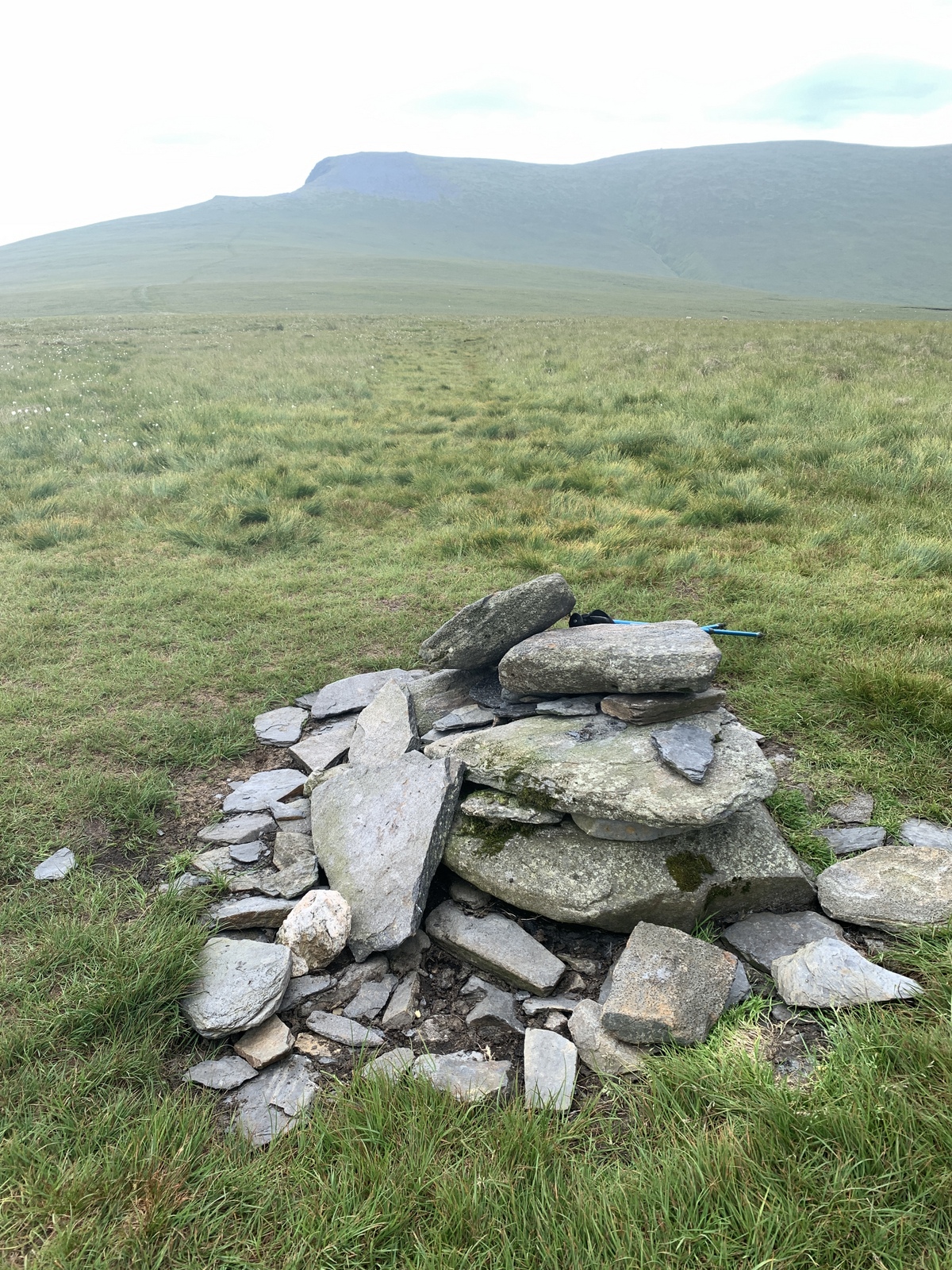
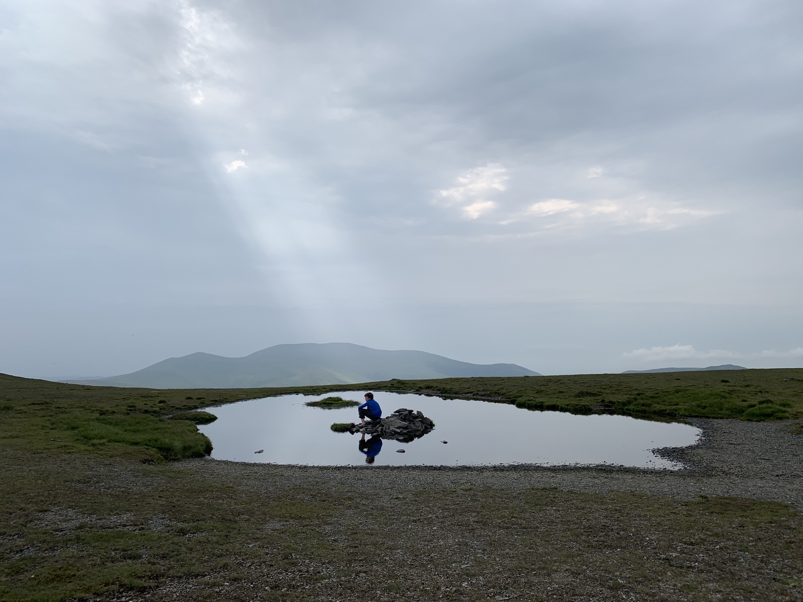
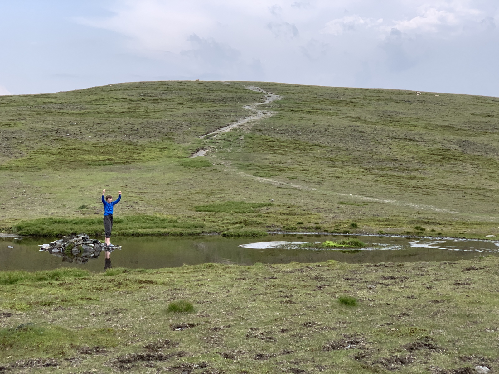
Trail notes: Up at 5 after a great sleep, quick raspberries and bananas and bread in kitchen then rabbits as we walk through town to Cumbria Way, and up Skiddaw. Memorial. Cyclists. Lattrigg all-access path visible. Long way up – steep first “Little Man” that wasn’t. A couple of light rain showers then to Skiddaw. Orienteering thingy. Long break in “shelter” with dogs then 7-year-old. Down and path to Skiddaw House – great tea; D of E boys and school group. 2-hour rest. V. Cool. Then off to Blencathra – following path. V. Nice. Steep at end. Looked at Sharp Edge – no way with packs and tired! Tarn below – swimmers. Our tarn – wader. Made shelter, coffee, skipped rocks, waded. Chill. To top, geocache, a couple or large groups came by. Make dinner below summit, then rain and more wind. Tent in wrong orientation for wind. 4 boils.
After hiking up from Keswick past Lattrigg to Skiddaw, we had a fine 2 hour break at Skiddaw House, with self-service tea – and then headed up Blencathra. Beautiful and quiet. The wind increased after we’d pitched the tent (wrong direction…), and the clouds rolled in – but we still slept very well!.


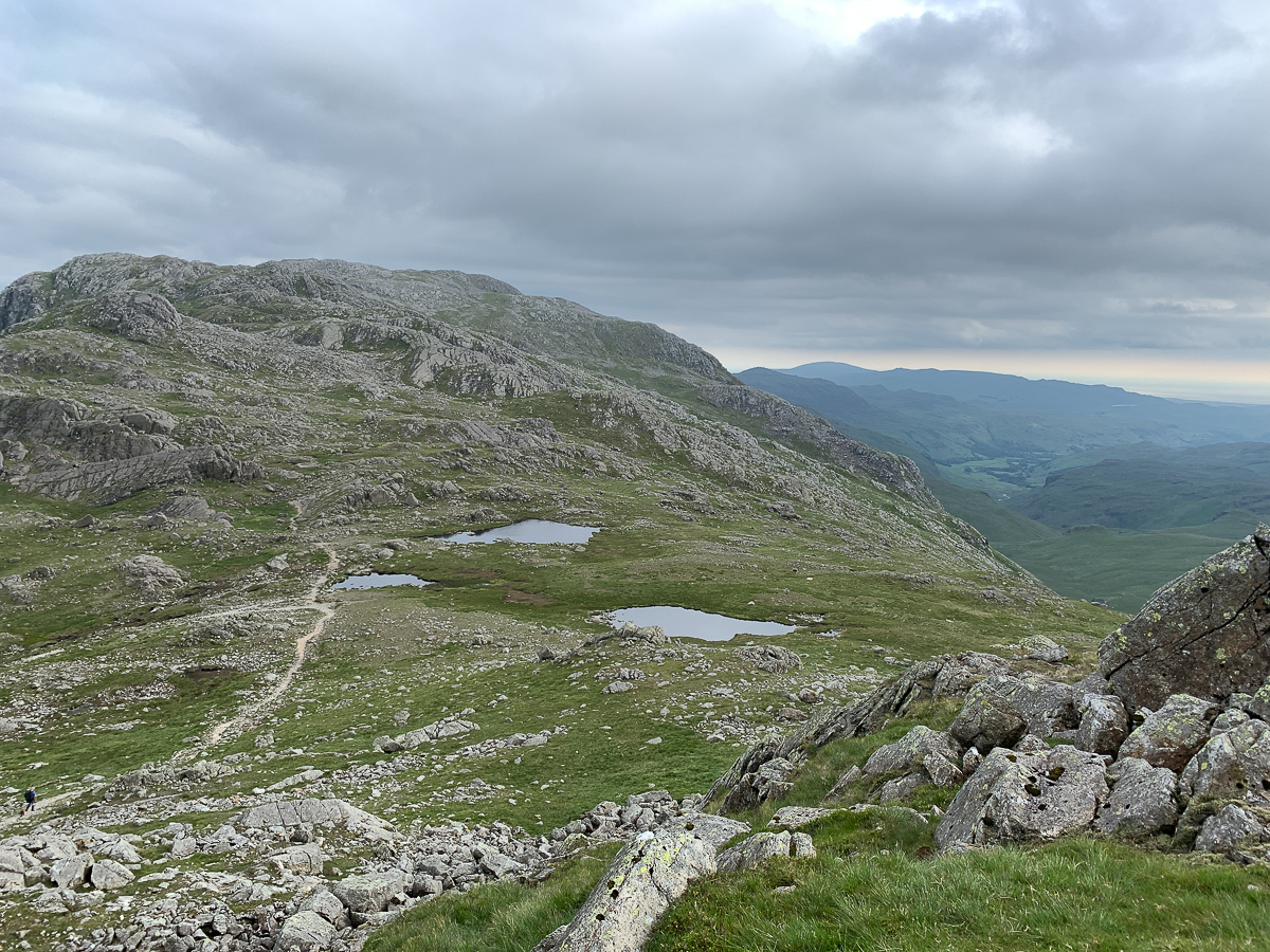
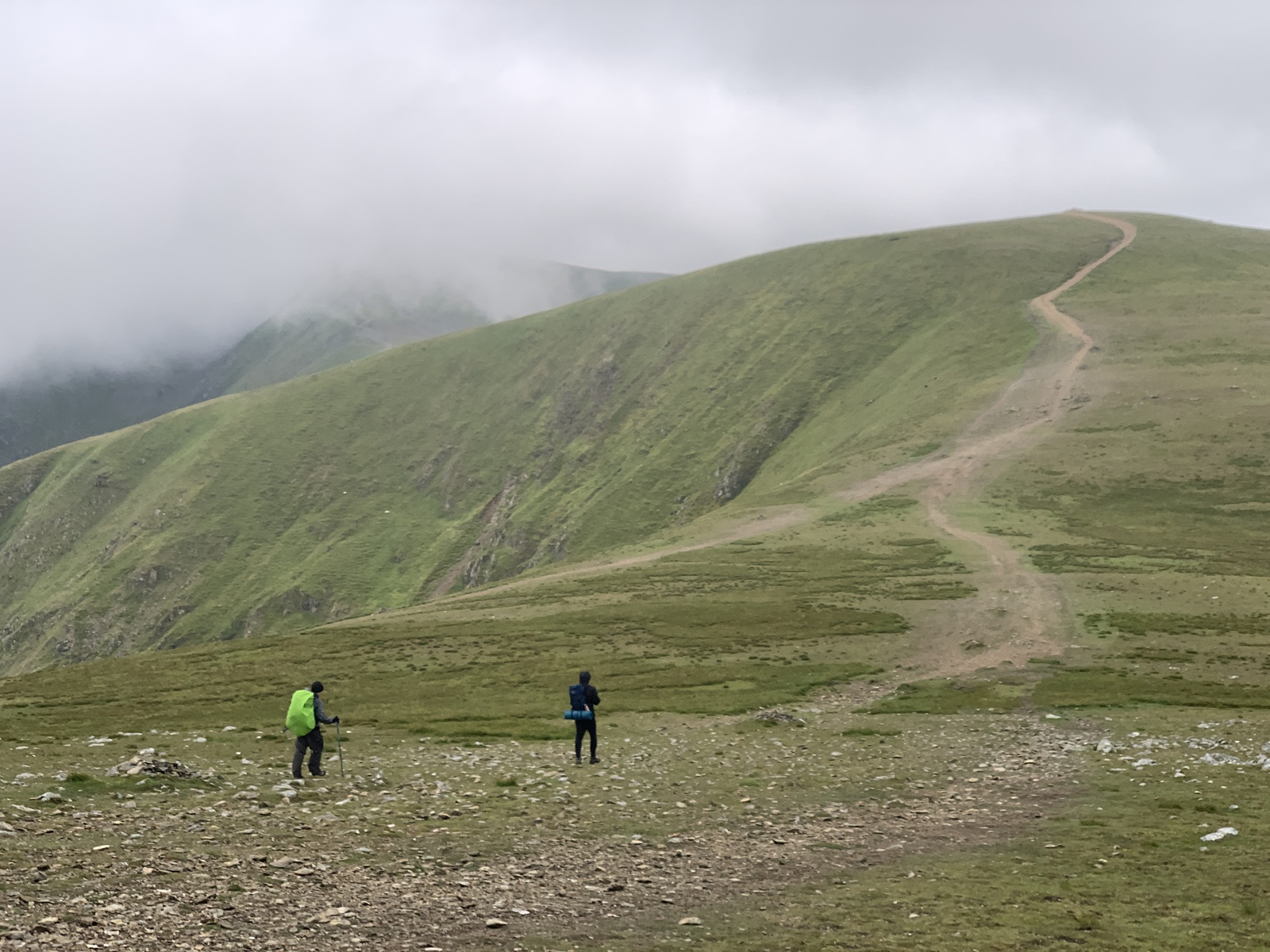
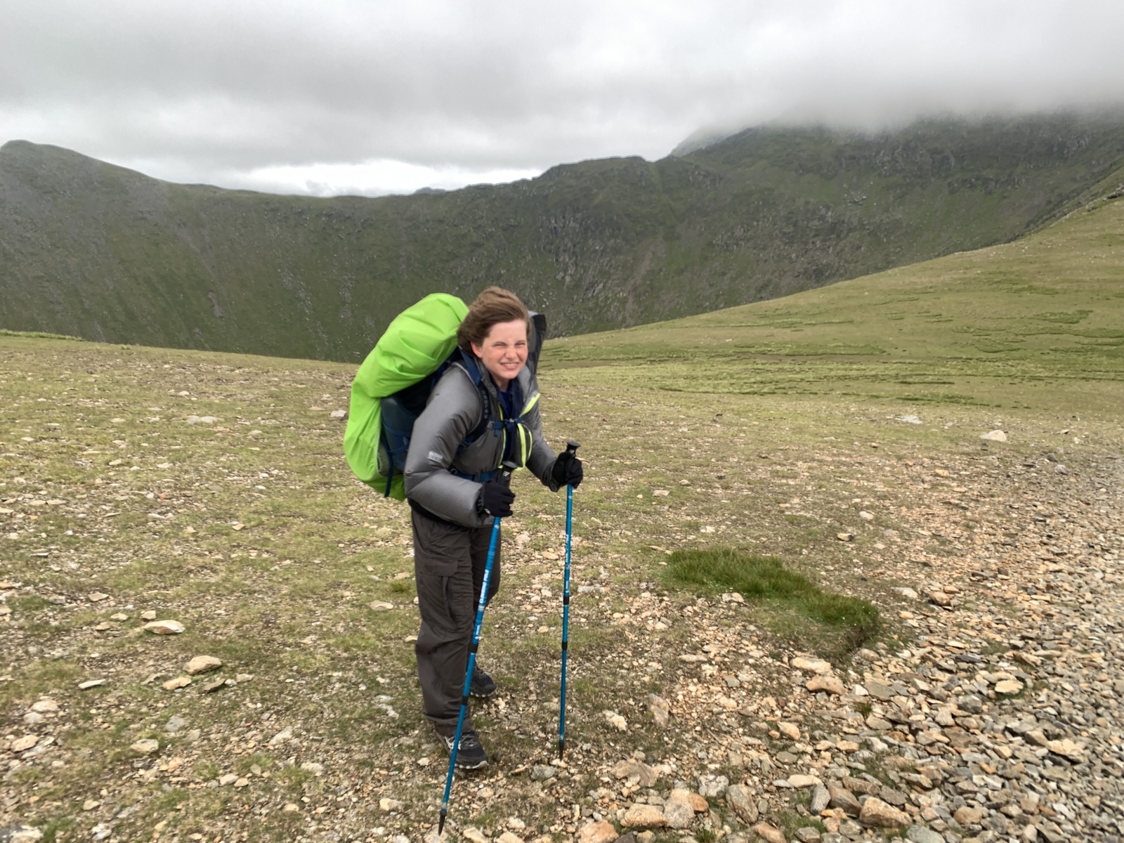
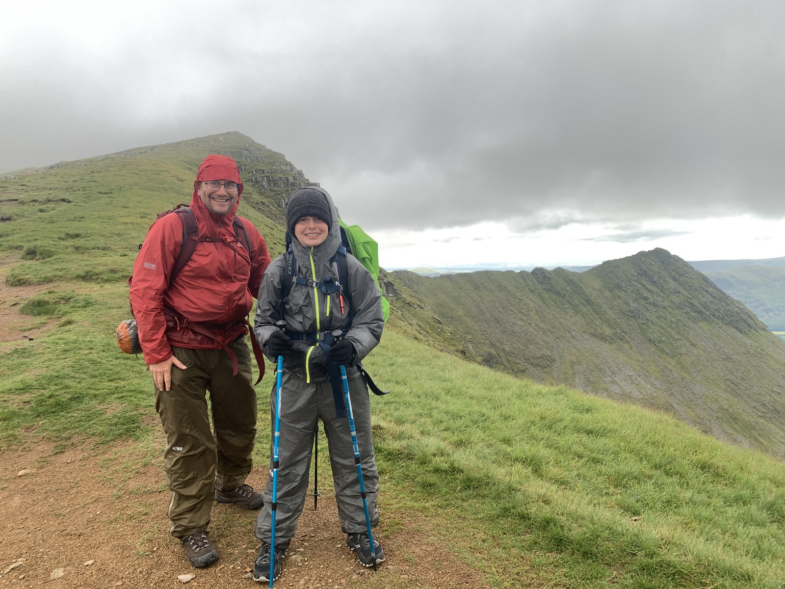
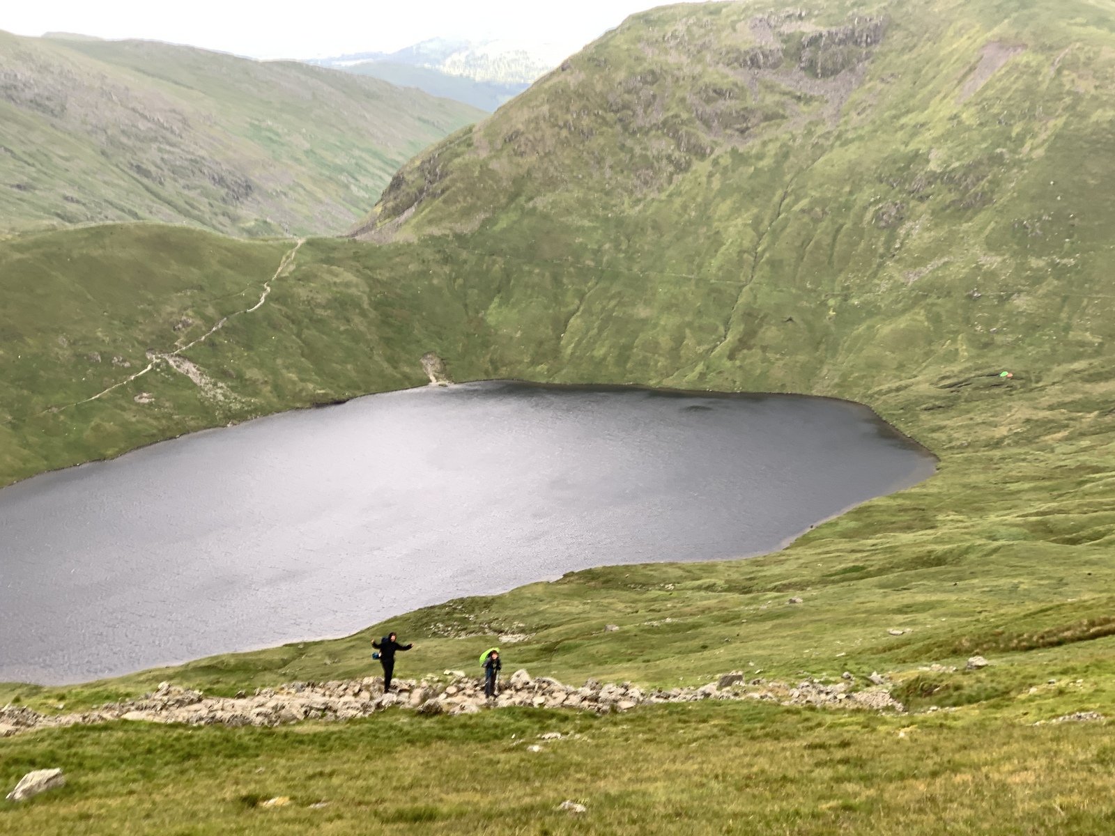
Day 5, 30 June 2019: Blencathra to Grisedale Tarn via Helvellyn. 14 miles in 8.5 hours, 4337 ft ascent.
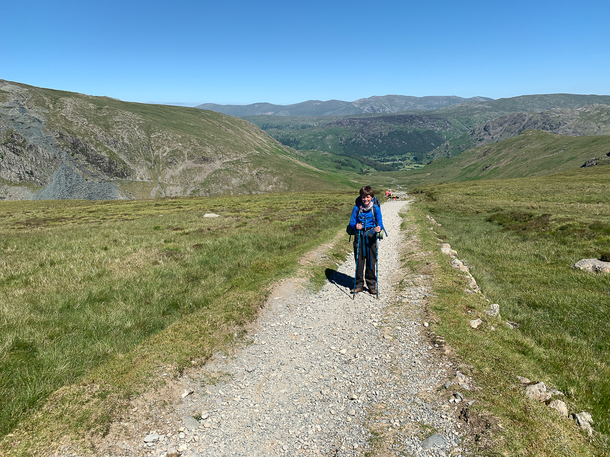
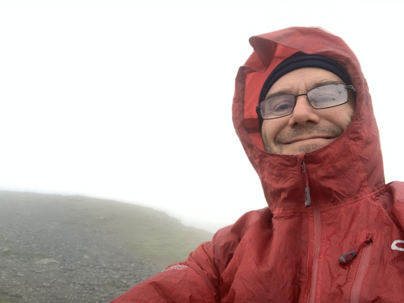
Trail notes: P up @5, coffee and oatmeal. Windy and cloudy – no rain, but still set. S up @ 6:30, pack up and go down via Threlkeld. Coffee Shop at 9:30 – great bacon sandwich, ginger sponge *2, cappuccino *4. In Village Hall – even had showers! Then march over road and up Clough Head and onto Great Dodd to meet Rob @ 1pm. Cold in the fog! Some wind – increased as we got to Helvellyn approach – especially saddle. Fought up the hills and got to summit tarn and shelter tarn. P lost pack cover in wind. Food and brew. No way to camp! Onward to Grisedale Tarn. Possible abandoned tent. Thought about hiking more tomorrow to arrive earlier. 6 boils. First tank gave 21 boils total.
From Blencathra, we headed down the main path as the ridge looked dodgy in the clouds, and had fantastic bacon sandwiches and cappuccinos and ginger sponge at the Threlkeld Village Hall Coffee Shop. Then it was a march up Clough Head to meet Rob in the shelter cairn on the top Great Dodd. Then we hiked in and out of the clouds along the ridge, with the wind really picking up by the saddle before Helvellyn. We fought our way up and claimed the summit and had a brew in the shelter cairn – but no chance of camping up here! So we kept going down to Grisedale Tarn – finding a flat isolated spot – with a pair of campers at one end of the tarn, and an abandoned tent at the other.

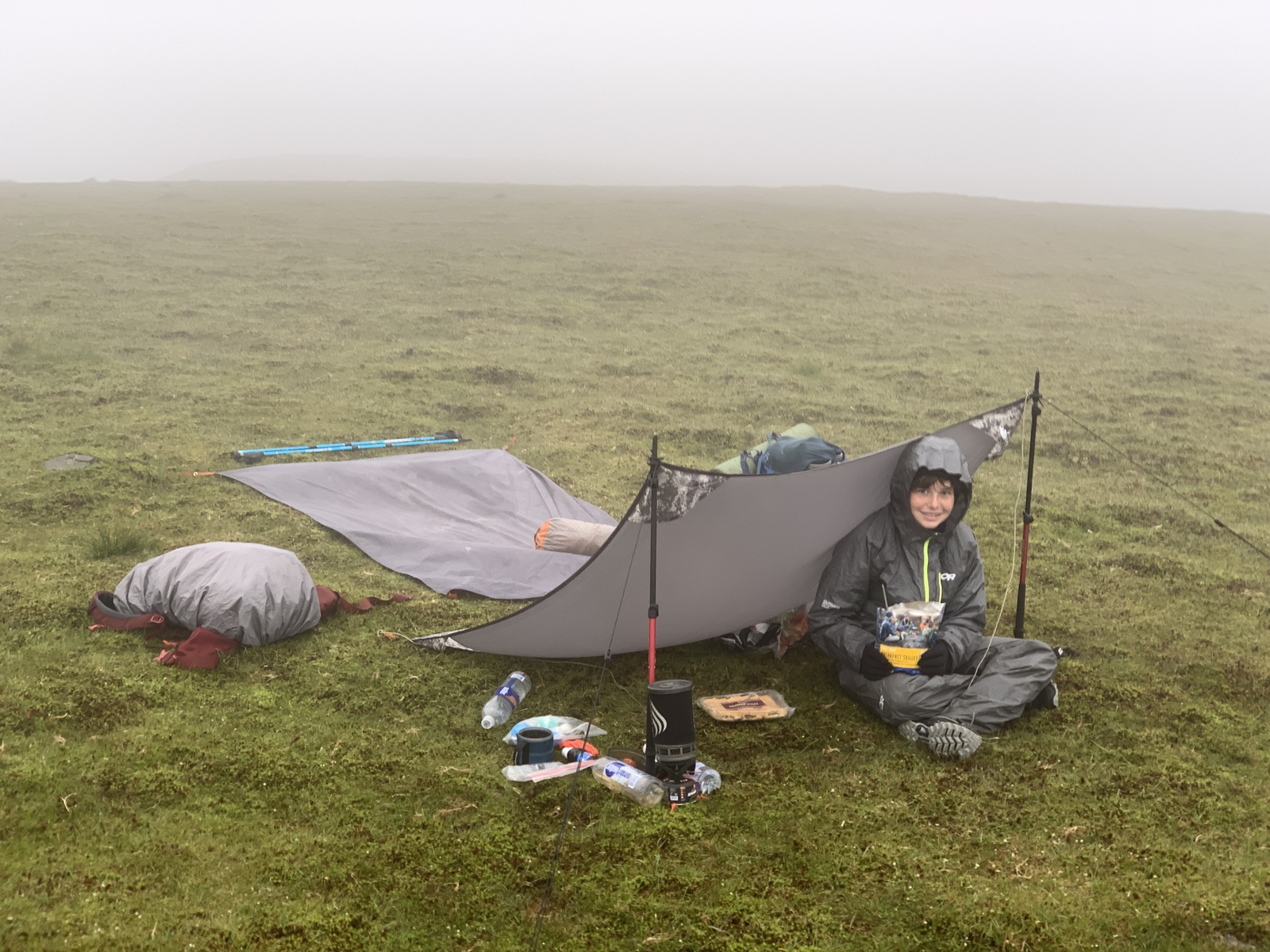


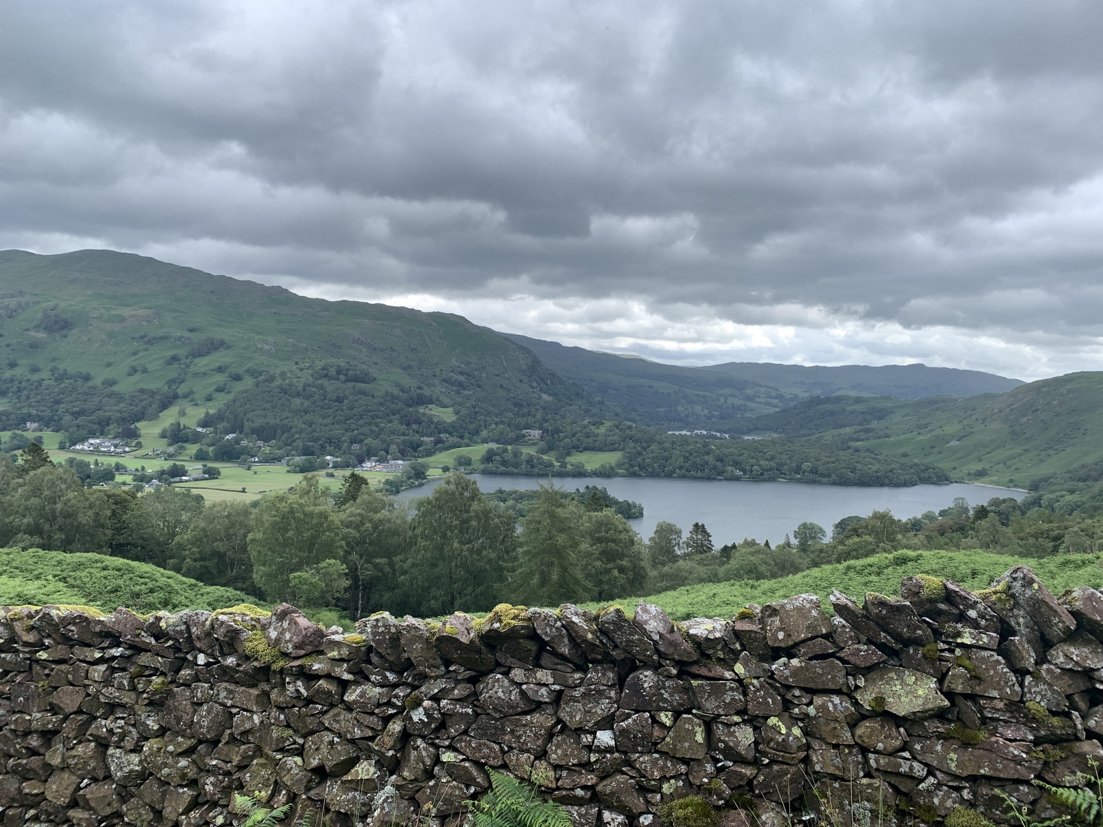
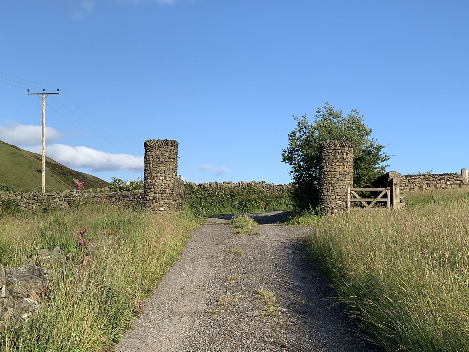
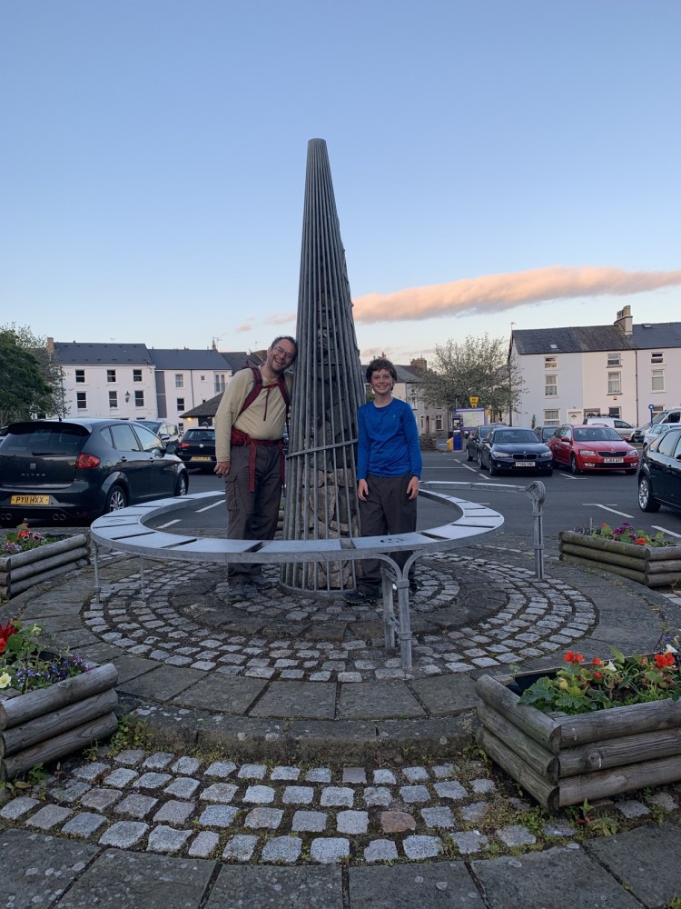
Day 6, 1 July 2019: Grisedale Tarn to Ulverston via Grasmere and Coniston. 29 miles in 12 hours, 3478 ft ascent.
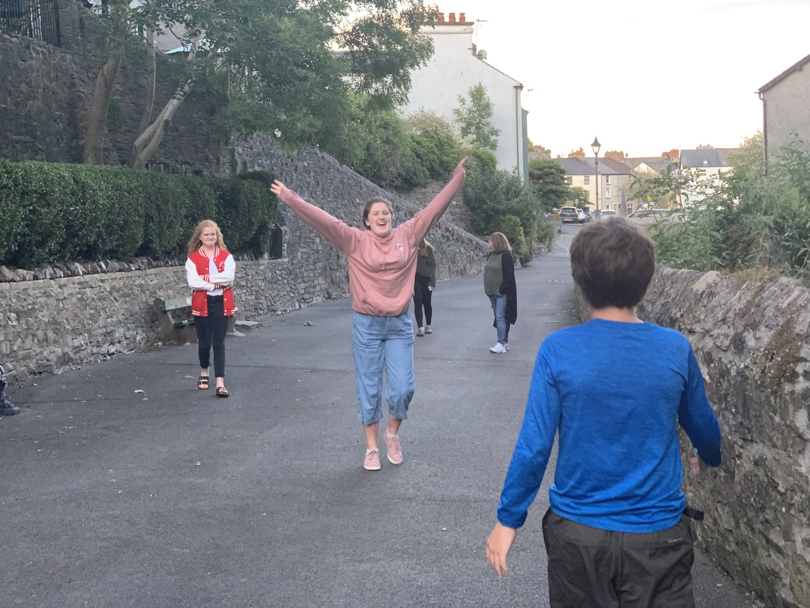
Samuel decided he wanted to walk all the way back in one day – 29 miles! We met the girls in Grasmere – originally just to resupply, but now also dumped our camping gear to help with our long hike!
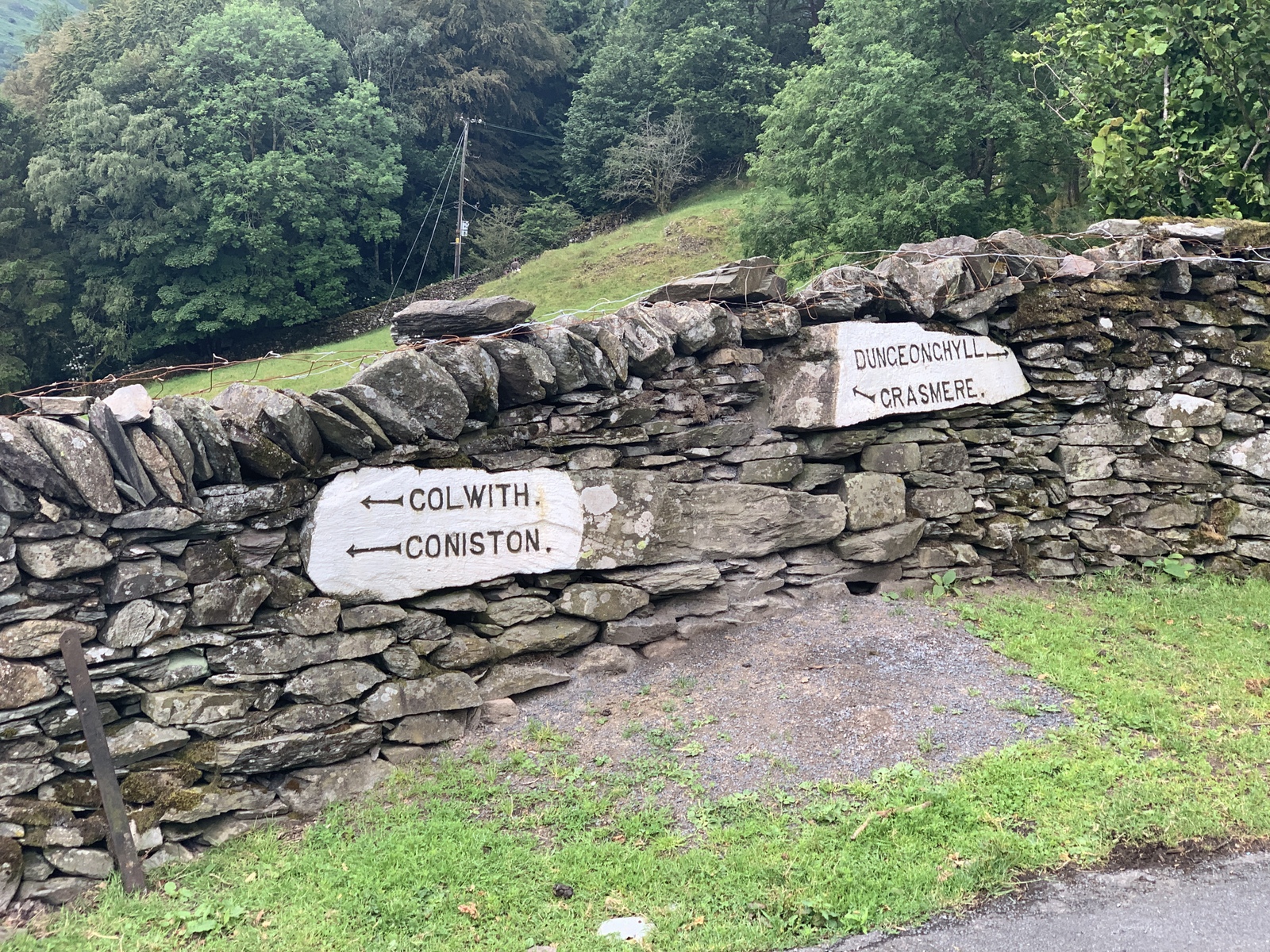
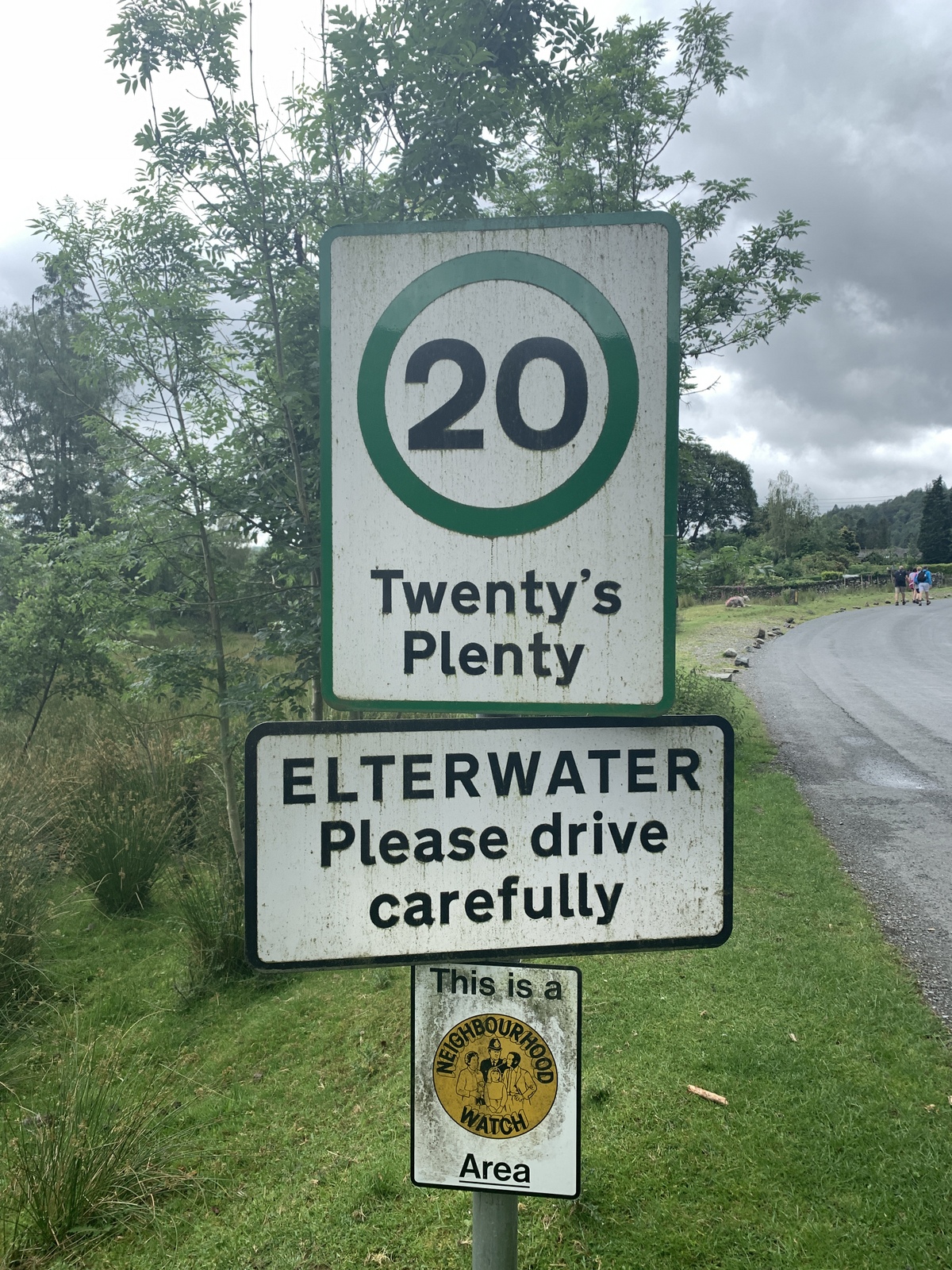
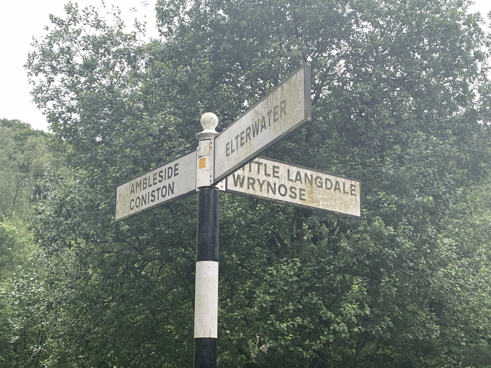
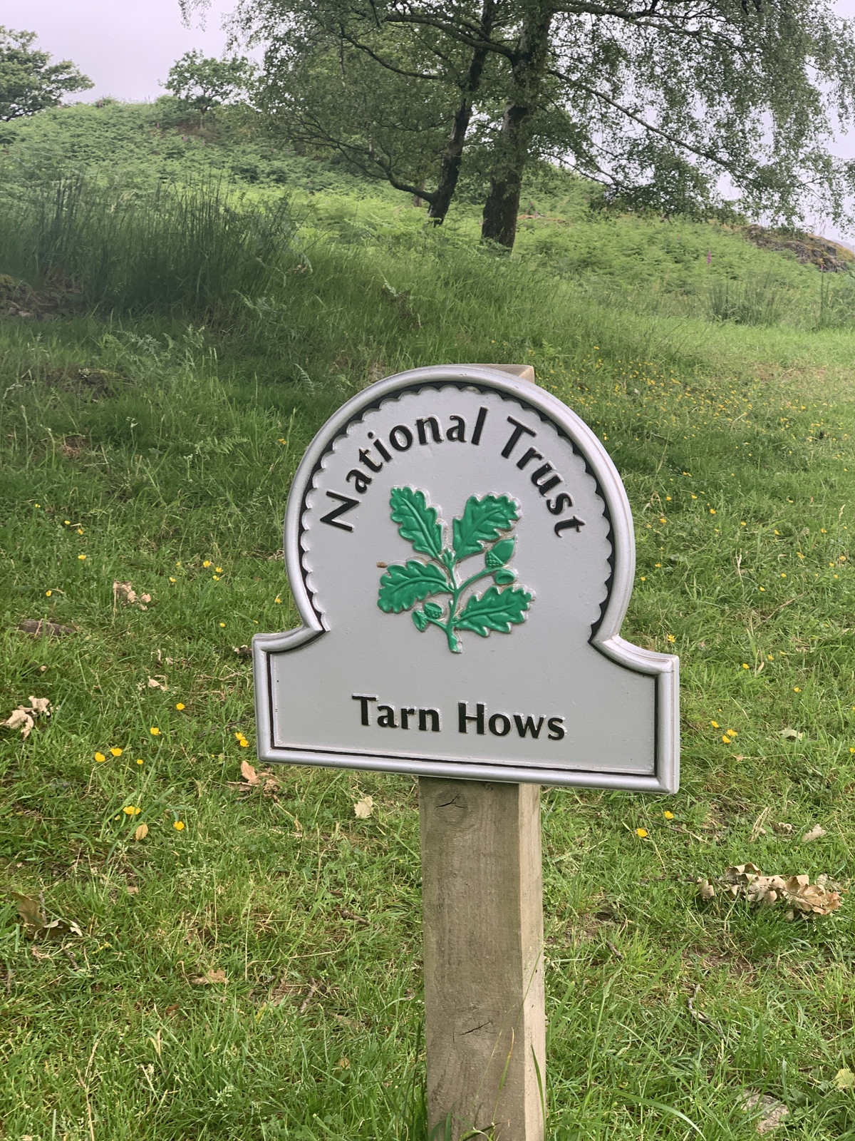
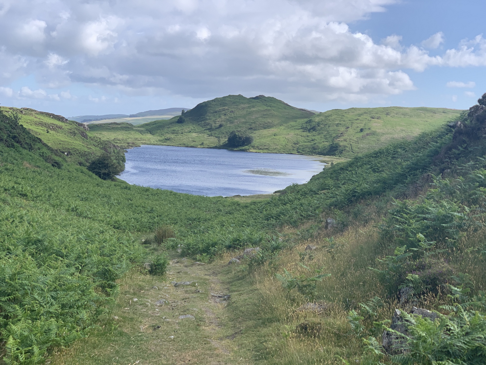
Trail notes: Woke up to rain and fog, so took down inside of tent first and made breakfast under fly. Rob not impressed with dehydrated eggs! Pack up and head down, calling Janet as soon as we got signal. Path was steps most of the way. Abandoned tent still there but collapsed. Off the path a couple of times on way to road, then met Janet and Bailey in car park with food and shoes. We dropped off everything except waterproofs and food and started 24-mile hike! March through Grasmere, different trail than K2B over moor, through Elterwater and Colwith and Tarn Hows. Up and down quite a bit and lots of D of E people. Down to Coniston and sandwiches at first shop! Snow globe in town then down to lake and along shore. Skipping rocks where possible. Over Torver Commons and to Beacon Tarn – taking same wrong path like with Janet ~10 years ago! Found the way back on the moor. Tried a shortcut, but waded through deep grass. Last 3 miles from Broughton Beck just followed the road as less hilly – greeted by Sarah, Grace, Martha, Janet and Bailey (with twisted ankle) at Cumbria Way tarn. Yippee!!