
On the 18th and 19th March, I spent two days and one night hiking the 26-mile Good Water Loop around Lake Georgetown in Central Texas. I don’t know why I had waited so long to come here, as it is arguably the best multi-day hike in the southeastern half of Texas. Admittedly, the weather was near-perfect, and my mid-week timing meant there were few other hikers, and I did not meet any other backpackers.
A separate blog post, A Guide to Lake Georgetown’s Good Water Loop, provides more information about the loop and serves as a planning guide.
Summary
After about a three-hour drive from Houston, I parked on the trail near Cedar Breaks Park and walked the loop counterclockwise. I filled my water containers at Russell Park and camped at Walnut Springs, completing 11 miles of the trail on the first day. The following day, I hiked the rest of the trail, completing the remaining 15 miles, followed by the three-hour drive back to Houston.
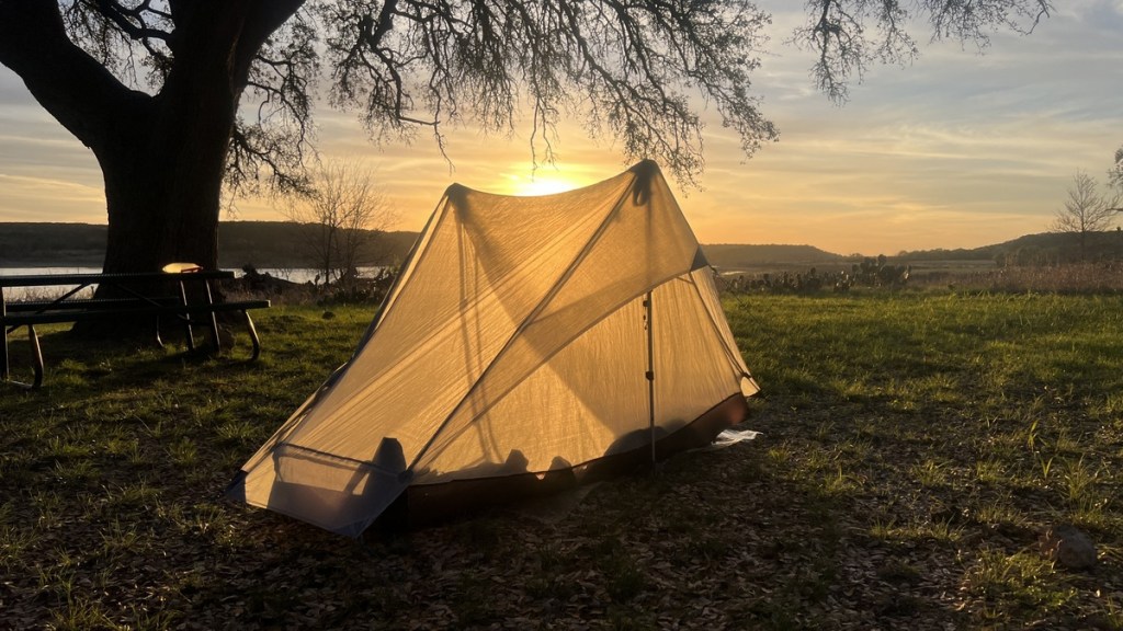
My highlight was primitive camping at Walnut Springs. It was a well-shaded, level, grassy campsite just off the trail, with easy access to the lake. The dry air and the nighttime low of 54 degF helped a very restful night, with no condensation inside my single-wall tent. I fell asleep to the coyotes howling on the other side of the lake and an owl hooting in the tree above me. On the second day, I stopped for lunch on a bench with a view over Lake Georgetown, which I found to be one of the best hiking views in southeast Texas.
Day 1: Wednesday 18 March 2026
5:30am Leave Home
It’s easy to get up for a day of hiking. I like to start on the trail in the twilight before dawn, but I wanted sufficient sleep to enjoy these two days. The little traffic helped make it a pleasurable 3-hour drive, with efficient tollways taking me around Austin’s morning rush hour traffic.
8:30am Start Walking
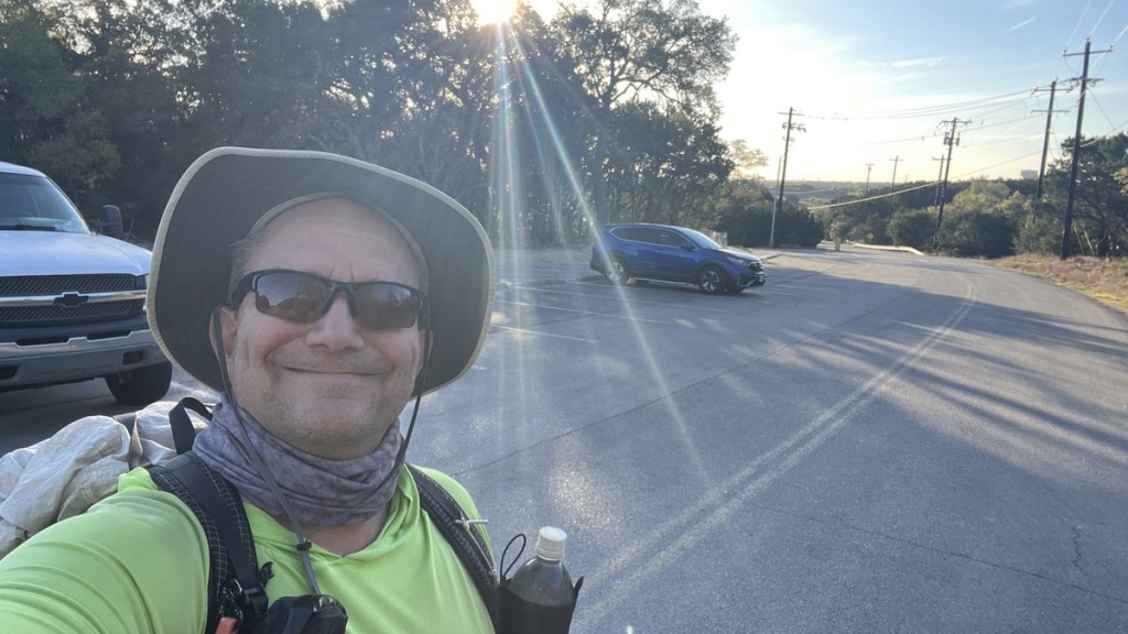
With a 19-lb pack (12-lb dry weight with food and 2 liters of water), I left behind my motorized transport for a marathon of walking. It was a beautiful crisp, dry morning, though I could already feel the sun’s heat.
8:40am This Is Different from Hiking Near Houston
Almost immediately, the view opened up to vertical limestone cliffs in front of grass savannah. I was immediately struck by how different this landscape was to the hiking trails I’ve frequented close to Houston, like the Trail Between The Lakes and the Lonestar Hiking Trail. The drive to this trail was about the same as to the Trail Between The Lakes in East Texas, but is a completely different environment.
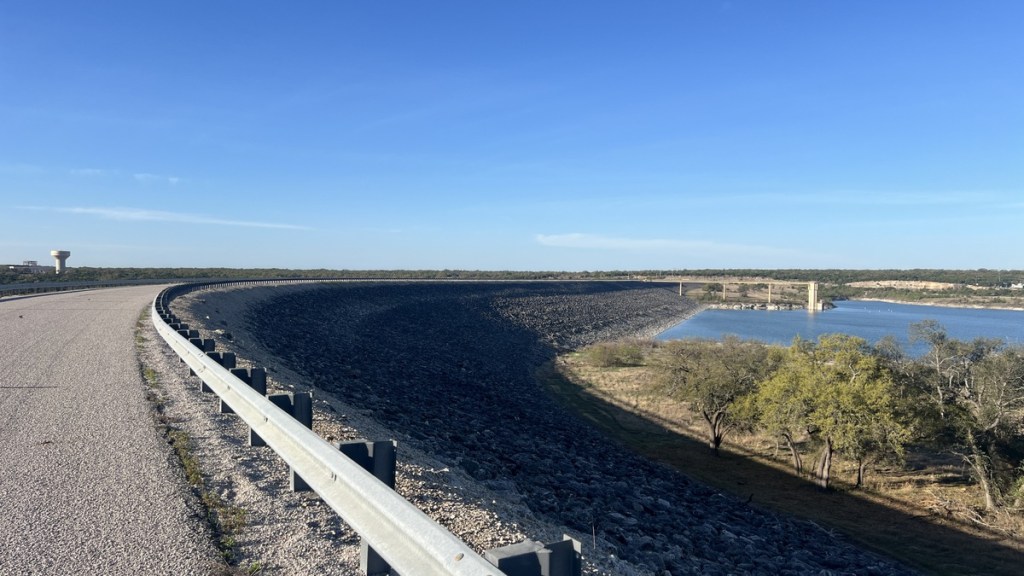
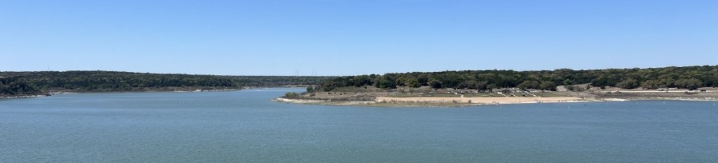
8:49am View of Lake Georgetown from the Dam
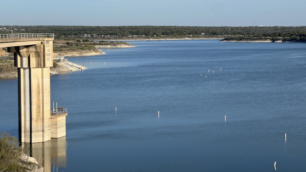
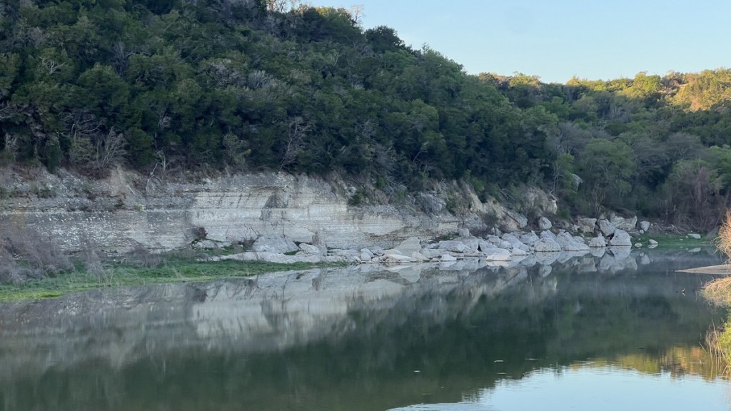
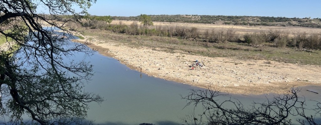
With the sun rising behind me over Georgetown, I had a great view upstream of Lake Georgetown, where the dam holds back the waters of the North San Gabriel River. I could just make out that the dam’s water level was 784 ft above sea level.
8:59am Dam Walk Completed
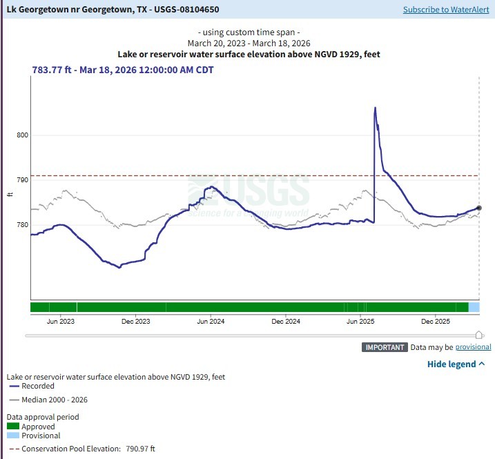
My first mile had been an easy road walk, where motor vehicles were prohibited, in a cool breeze and a warm rising sun. As I looked at the upstream side of the dam, I spotted large logs, placed ~20 feet above the current water levels by the catastrophic floods in July 2025. Those floods caused the lake level to rise 26 ft, but this was still about 20 ft below the dam’s spillway. The plot below, from the USGS monitoring station, shows the lake’s water level above sea level over the last three years.
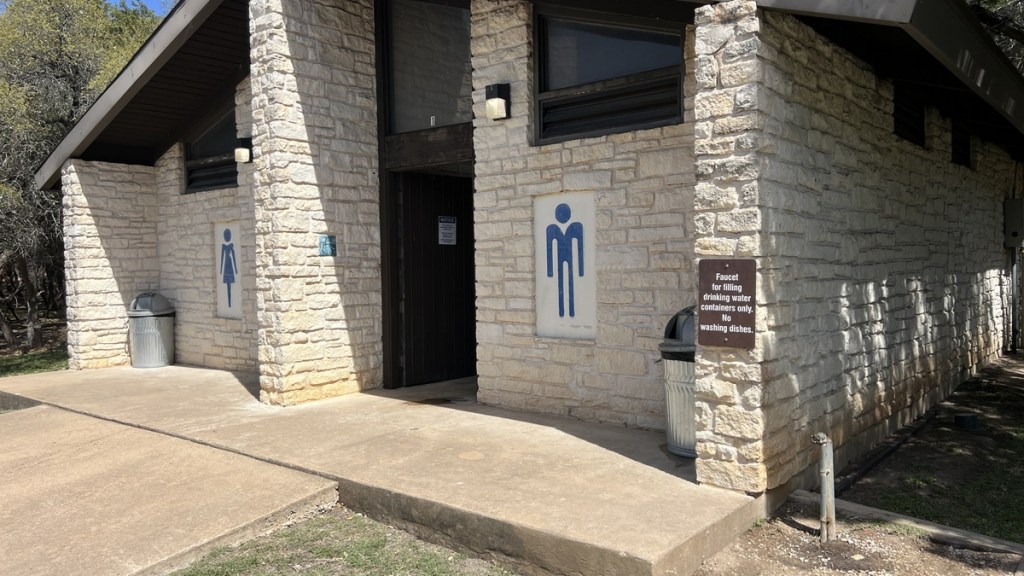
9:18am Pit Stop
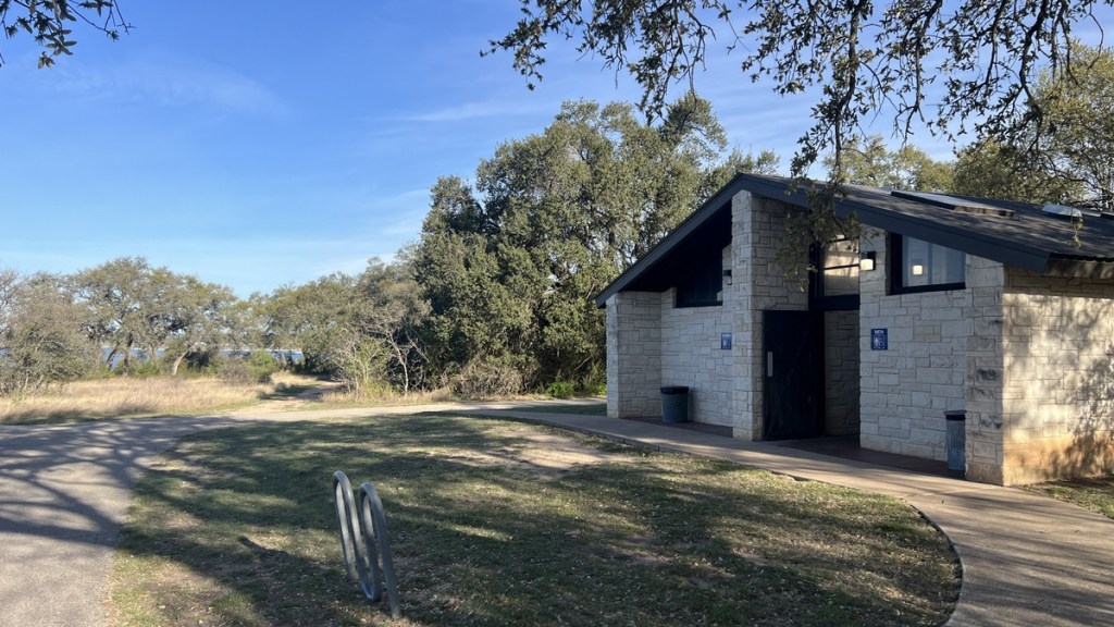
The trail took me off the dam road into Overlook Park and right next to some well-placed facilities.
9:23am History Lesson about the North Fork of the San Gabriel River.
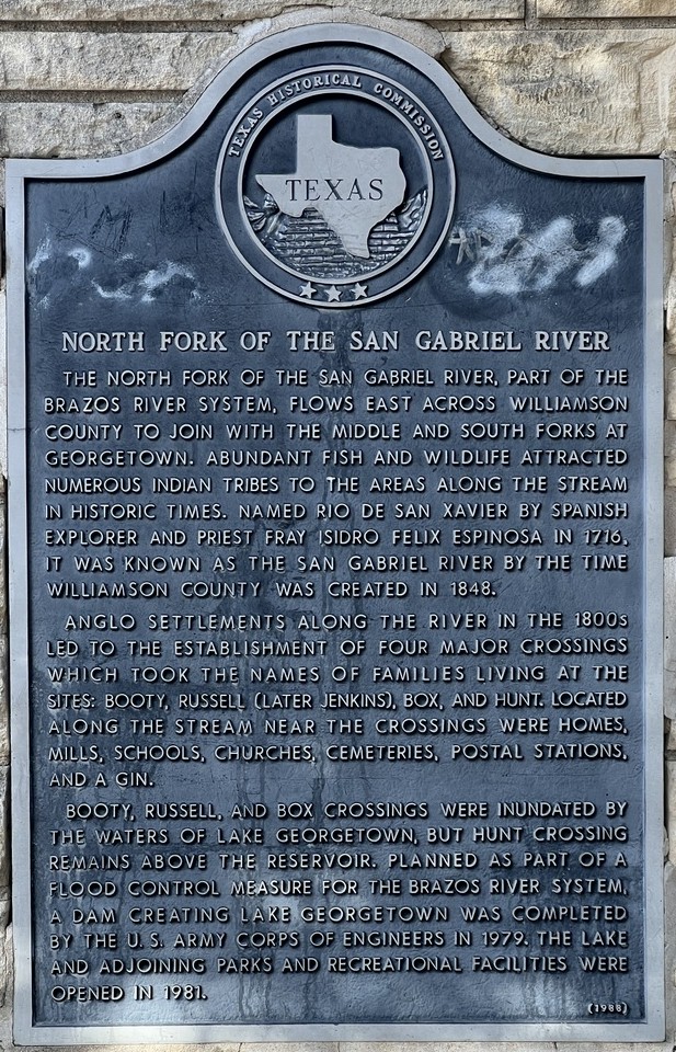
I enjoyed reading about the history of this stretch of river. There is evidence of habitation from before western settlers arrived, and multiple river crossings were flooded when the dam started holding back the river in 1979.
9:26am Easy Path and Bluebonnets
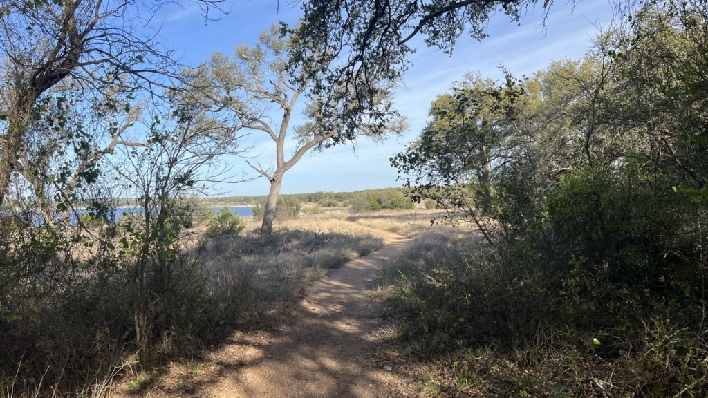
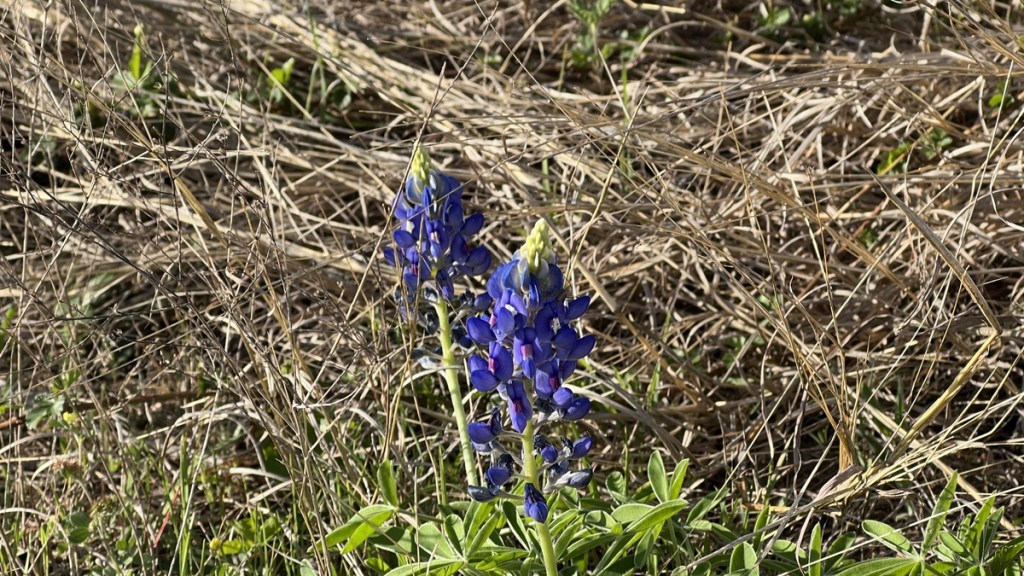
The smooth gravel path was kind to the feet, but it would not last for long. I smiled when I found this pair of wild bluebonnets.
9:29am Spooky Trees
Why did they not cut down all the trees before flooding the lake? I think it’s because they provide good habitat for fish and birds, but it looks eerie.
10:01am Don’t Play Dead
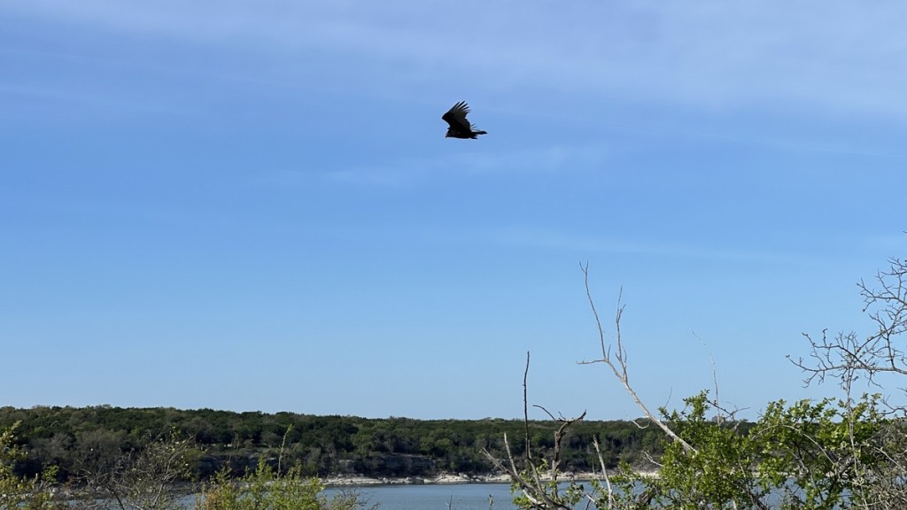
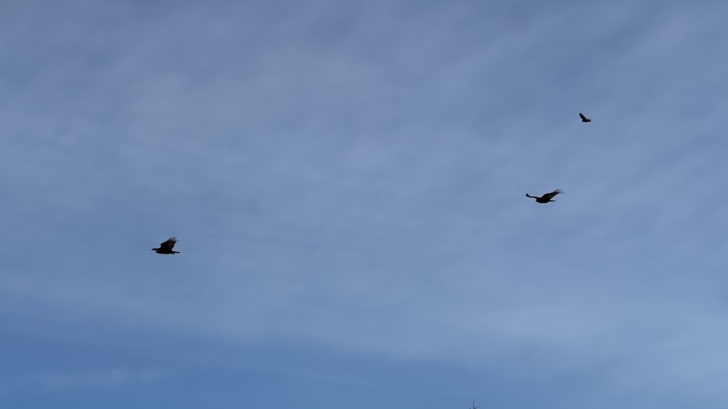
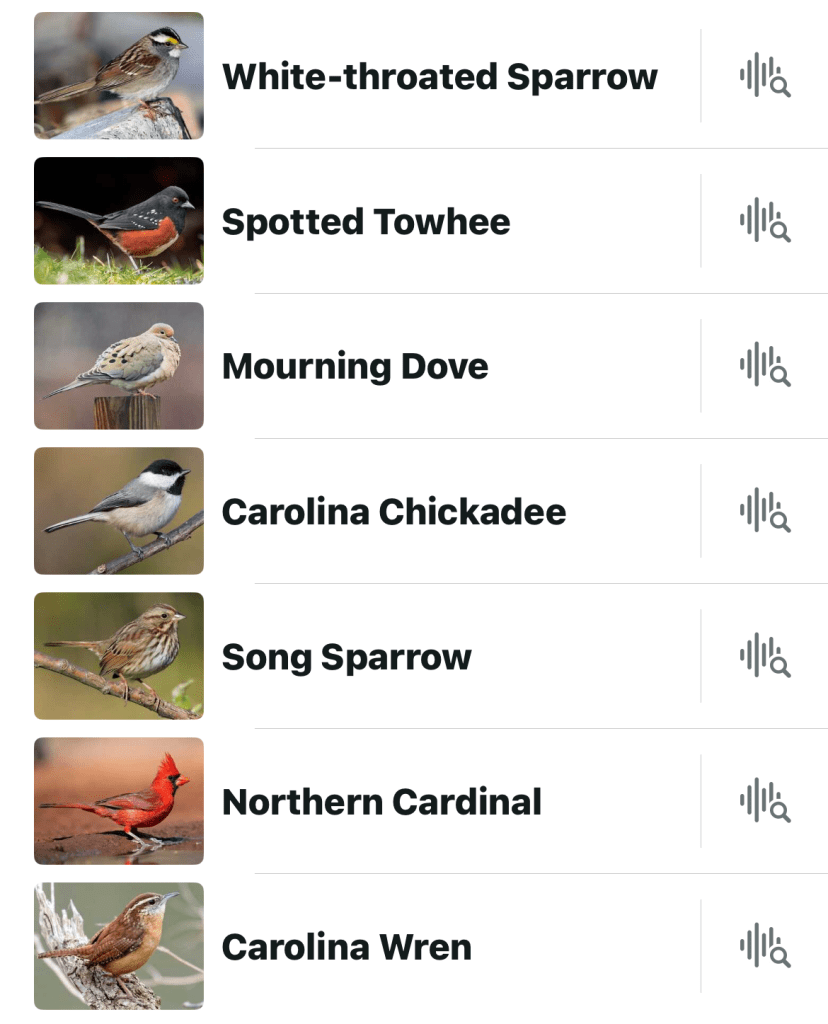
From the moment I had stepped out of my car, I had enjoyed listening to the continuous singing of Northern Cardinals. However, a group of vultures started circling low over me. I would need to be careful if I chose to take a nap, as they might mistake me for a carcass suitable for their next meal!
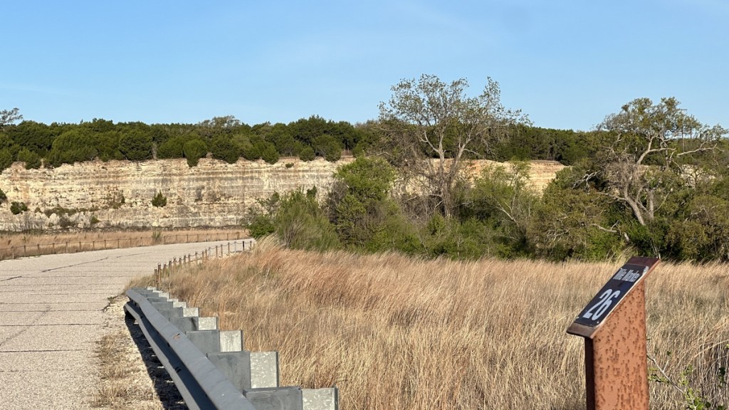
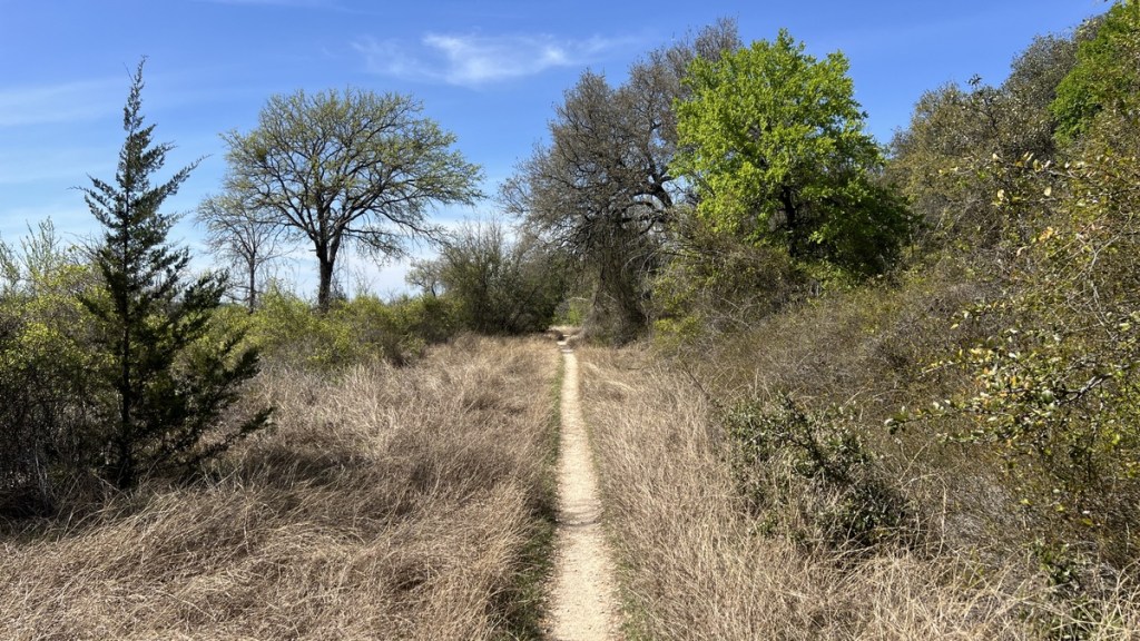
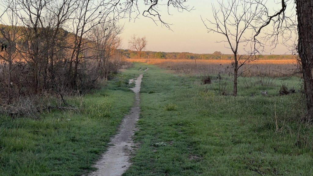
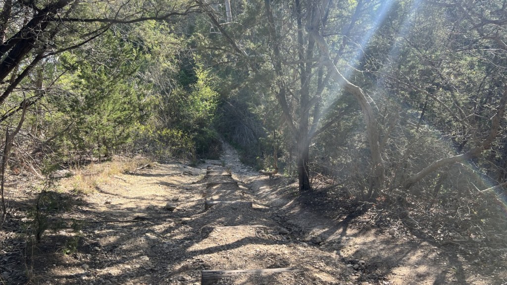
10:19am Smooth Trail Turns Rocky
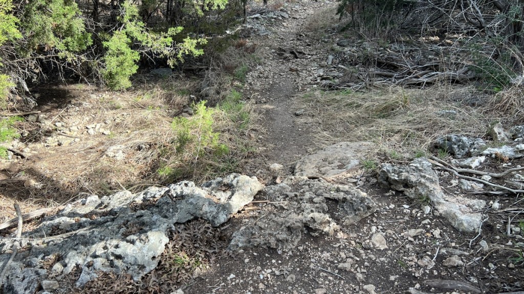
After nearly two hours of very easy walking, the trail gradually turned rockier. It wasn’t terrible, but it slowed me down and was more tiring. I had to concentrate to ensure I did not trip!
10:46am On the Edge of Private Property
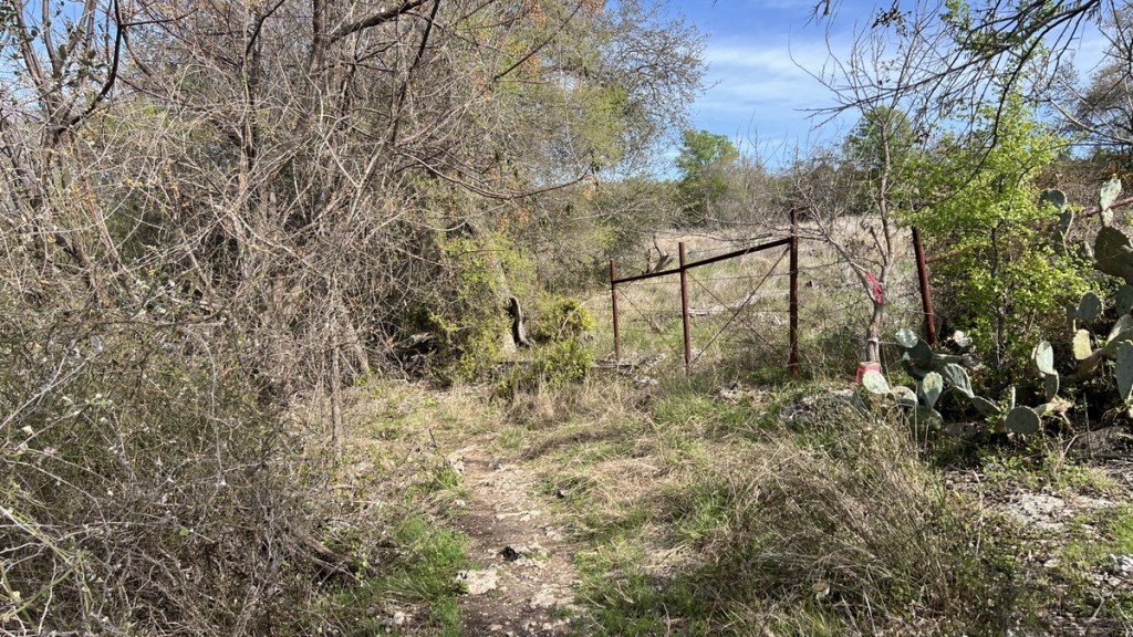
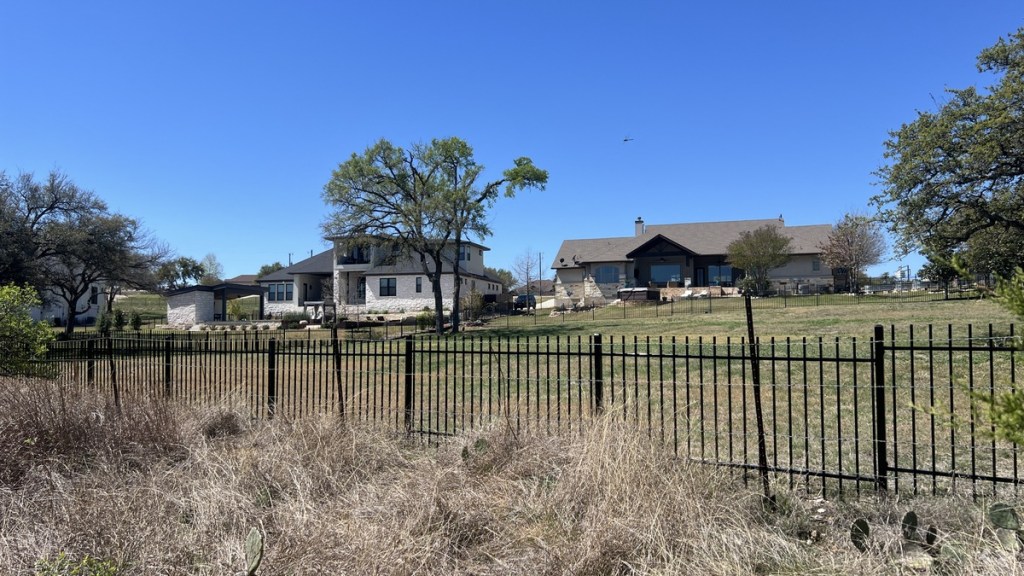
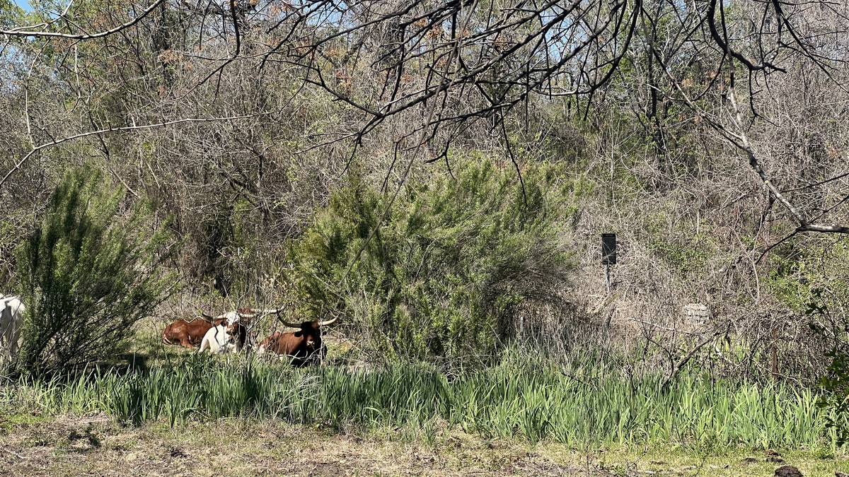
The trail’s map shows its route winding along a thin strip of public land between the lake and private land. The variety of private land usage, from farm land to luxury mansions, added a fun dimension to the hike. The well-defined footpath next to fences reminded me of walking in England.
11:01am Jim Hogg Park.
The trail crosses the road to Jim Hogg Park near its entrance station. The park has RV sites, a boat ramp, and waterfront, but the facilities are about 1/2 mile from the trail, so I did not visit them. Anyhow, I was enjoying the solitude as there was virtually no one else on the hiking trail.
11:05am Five Miles Completed
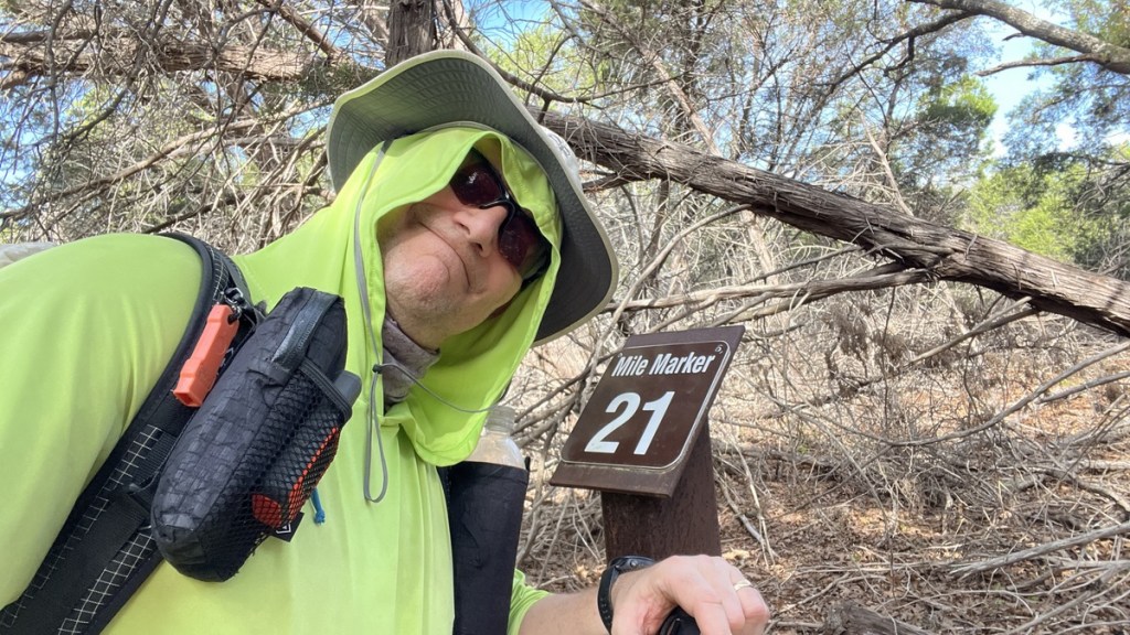
I was taking selfies at each Mile Marker to complete the Goodwater Loop virtual Geocache. I’d completed five miles of the trail in 2.5 hours. The leisurely 2 mph pace had been perfect.
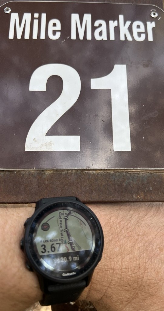
Having preloaded my Garmin watch with the loop’s GPX track from AllTrails, I could easily navigate the trail and be told the distance to the end. This allowed me to check the location of the mile markers. In this case, I measured mm21 at 20.9 miles to go. I found them all to be pretty accurately placed, accepting that the AllTrails route left the official trail a couple of times.
11:57am Juniper Tunnel
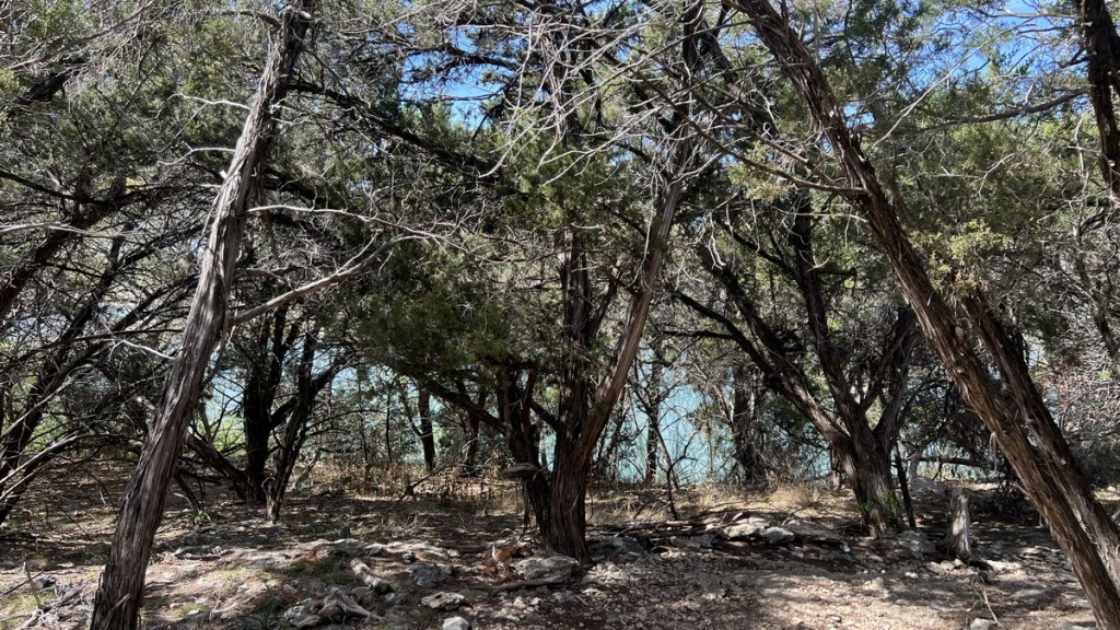
After Jim Hogg, the trail climbed into juniper forests above the lake. I had chosen a shady patch of ground to take my lunch and rest, though there were better spots later on with large smooth rocks for sitting on or lake viewpoints.
12:25pm Cross a Stream
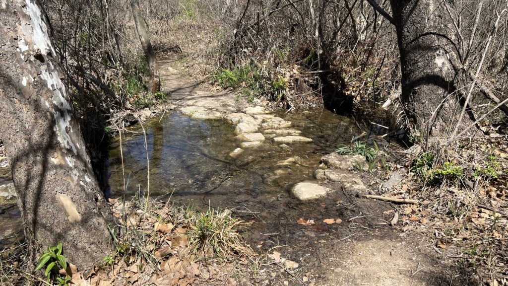
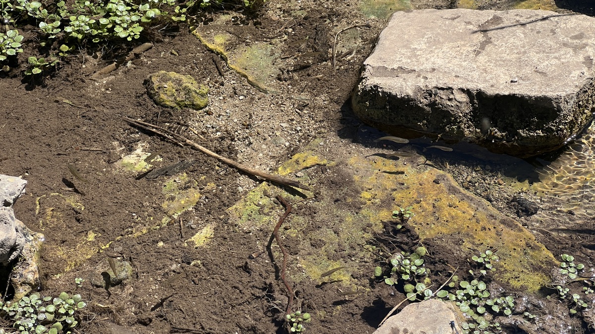
I crossed my first stream after Mile Marker 20. I had started the hike with 2 liters of water and still had plenty. My plan was to refill at Russell Park. The running stream was still pretty and was viable for filtering.
12:46pm Roy F. Gunn Burned Rock Midden.
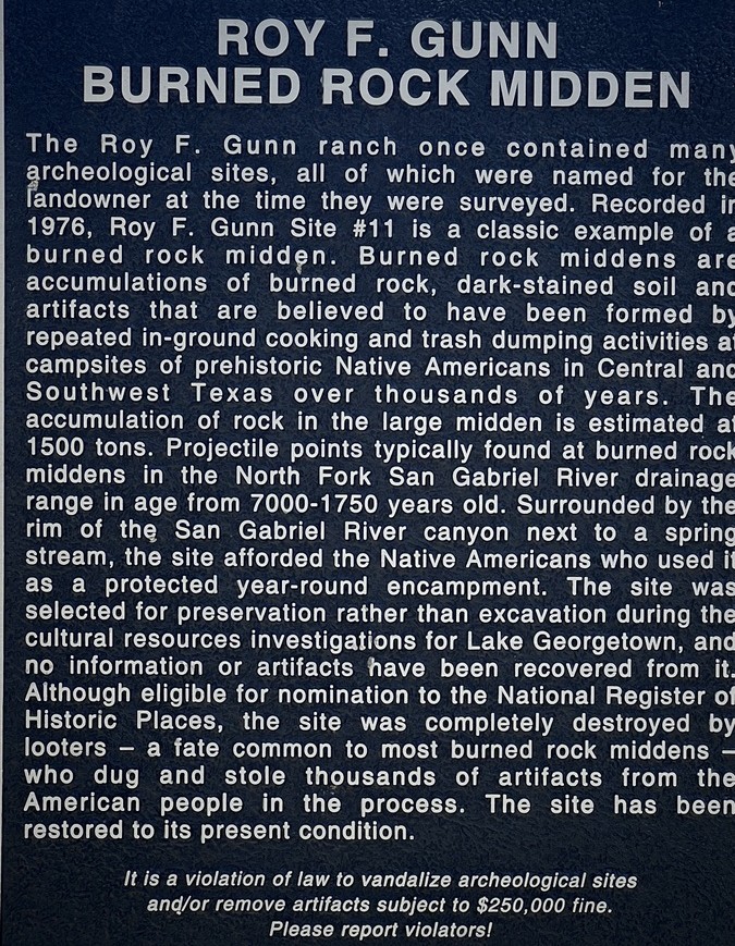
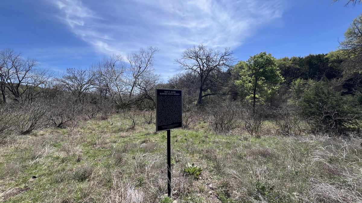
The trail took me past this archaeological site, but unfortunately, nothing of it remains. The sign explained its interesting history.
12:53pm Passing Below Mansions
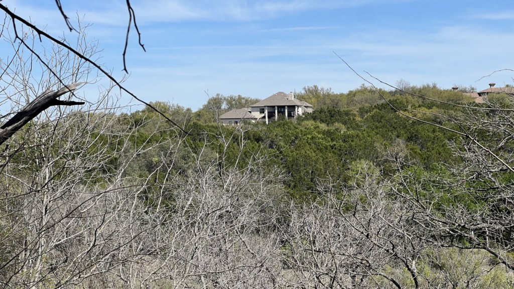
The trail’s meandering, in and out of valleys, yielded fine views of the houses that I had just walked below.
1:31pm Just Keep Walking
The trail’s signage was somewhat lacking, and the few signs weren’t the best and often redundant. The GPX route on my watch helped keep me on track when the trail came to a fork.
2:04pm Water Refill at Russell Park
Shortly after crossing the road into Russell Park, there was a side trail that took me to a camping area. It was a short walk to its bathroom, which had a fine drinking water faucet. I lay in the shade for a while as the 10 miles I’d hiked were getting to me, amplified by the temperature approaching 80. There were a couple of families camping at established sites near these bathrooms, but it remained peaceful. I collected 5 liters of water here, which were sufficient for the rest of the hike.
2:25 pm Russell Park Trailhead
As I left Russell Park, I saw my first large sign about the trail at this trailhead at Mile Marker 16.6. By this point, I was carrying 5 liters of water and was more interested in finding my campsite, which I expected before Mile Marker 15.
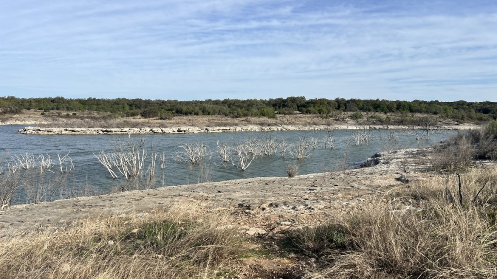
2:52pm Alongside the Lake
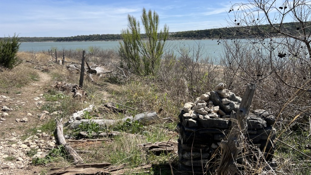
Since leaving the dam road, the trail had mostly been undulating on rocky ground in juniper forests. After the Russell Park trailhead, the trail headed downhill and popped out of the junipers by the lake. There was a line of various types of debris, marking the high water mark from the floods in July 2025.
2:54pm Cool Tree
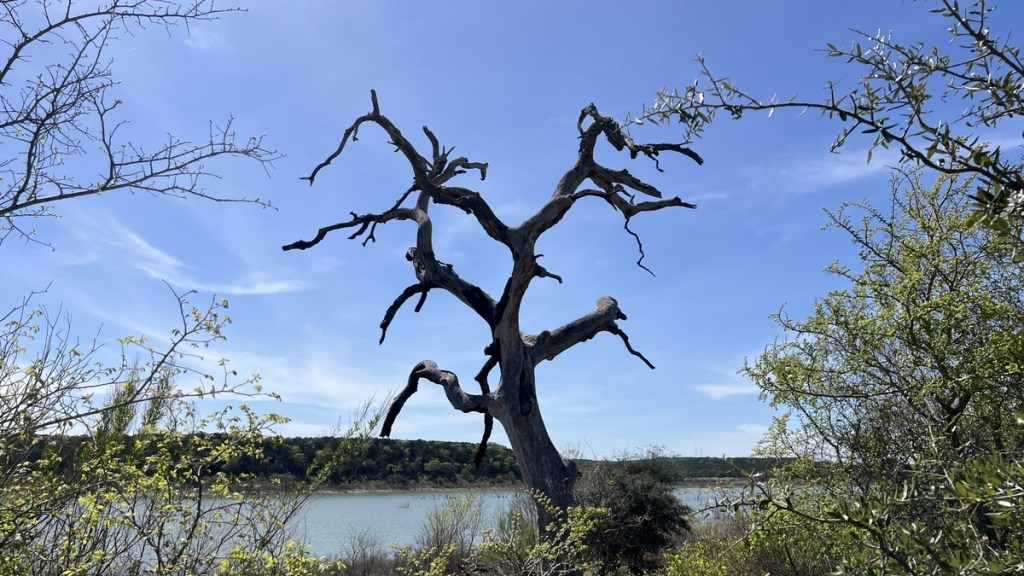
I’m sure lots of vultures hang out in this at times. Nevertheless, it was still cool without them.
2:57pm Just Keep Walking
After 11 miles of walking, my body enjoyed this smooth, flat trail, while eagerly awaiting arrival at the campground.
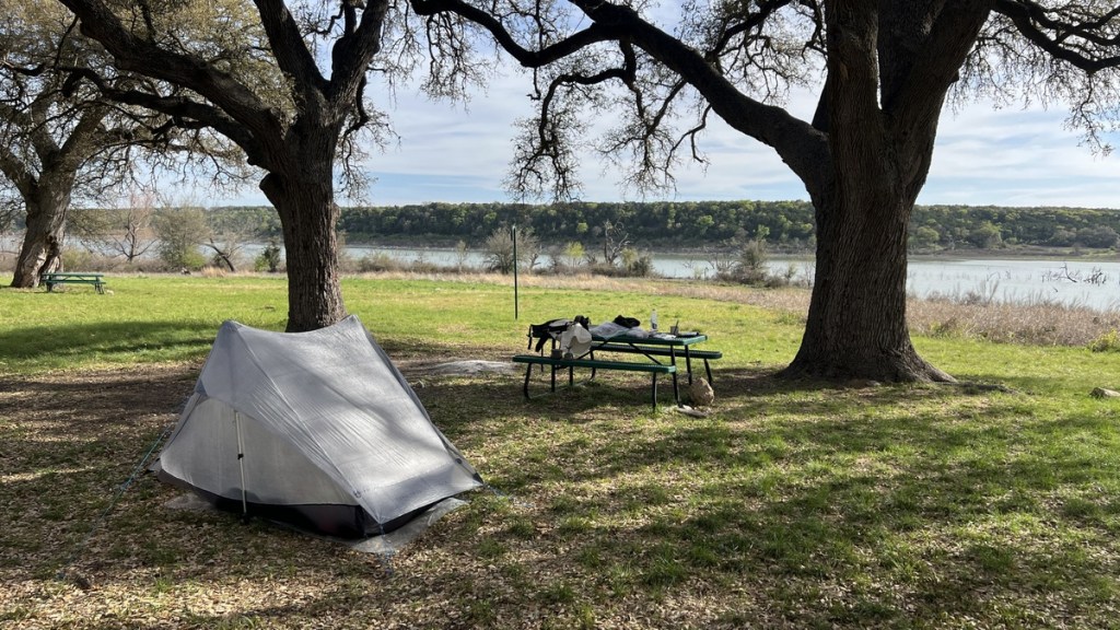
3:03pm Walnut Springs Campground!
I was so happy when I arrived at the campground. Not only could I take off my pack, but it looked perfect. The picnic tables were a real treat for a “primitive” campground, and the flat, dry, shaded ground looked perfect for my tent.
3:10pm Paddle Boarding?
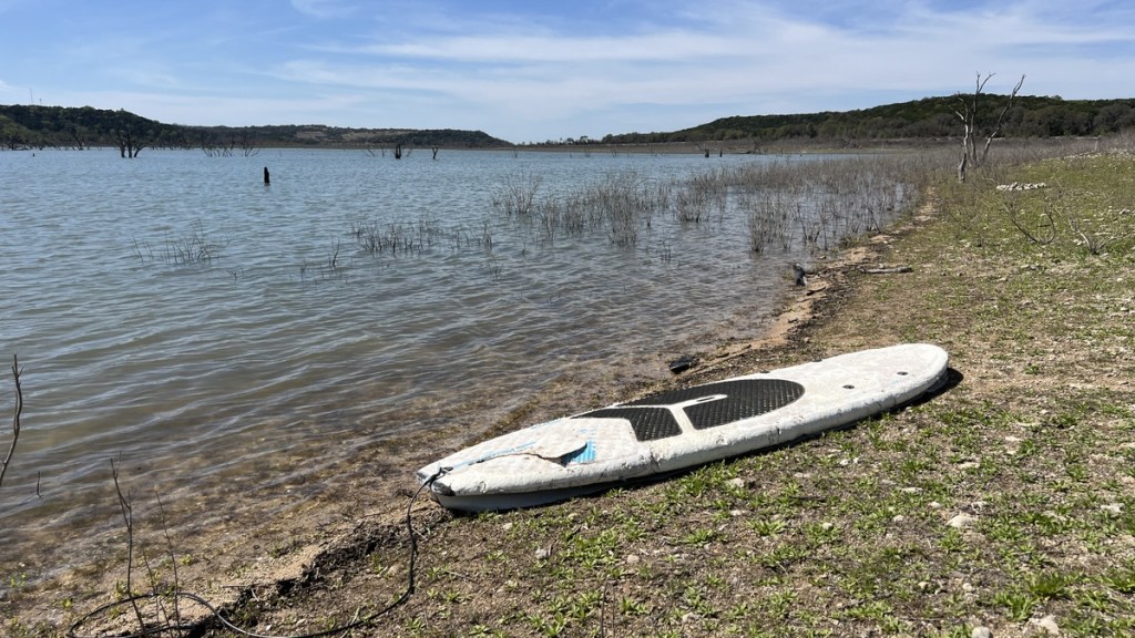
I was a little surprised by how tired I felt after the 11-mile walk. Nevertheless, I had to check out the lake and was almost tempted to go paddleboarding on this abandoned board.
5:36pm Dinner Time
Having leisurely put up my tent and enjoyed testing out the site’s levelness, I enjoyed a fine dinner watching lots of bird activity in the water while appreciating the breeze coming off the lake.
6:27pm Mostly Alone as Sunset Approaches
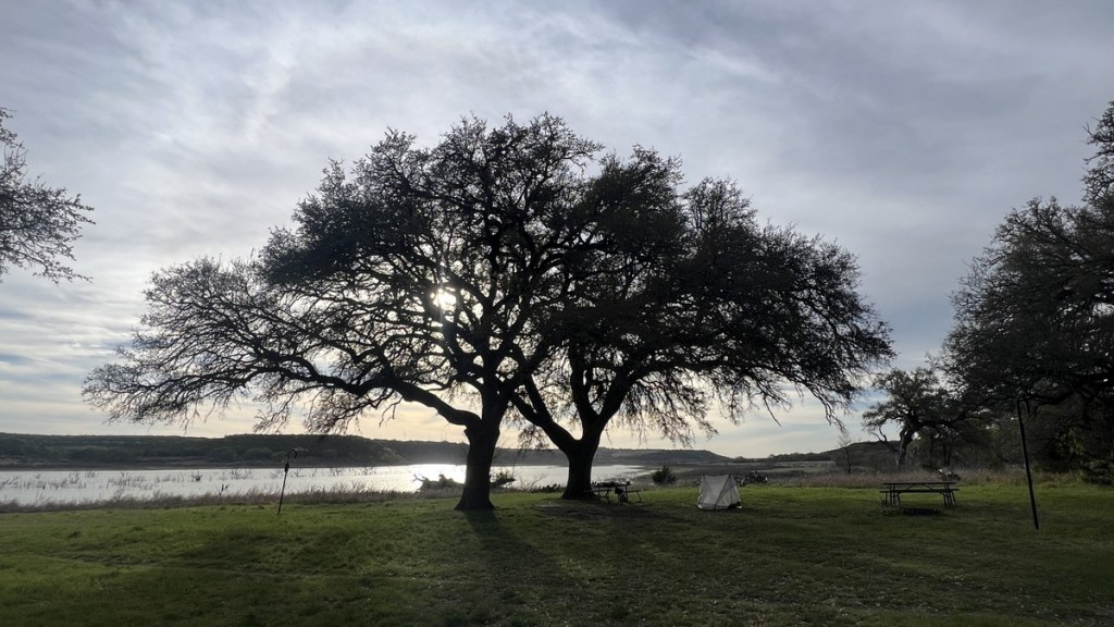
Two or three small groups of day-hikers came and went from the campground. Mostly, it was just the birds and me, which was fine!
7:25pm Sunset
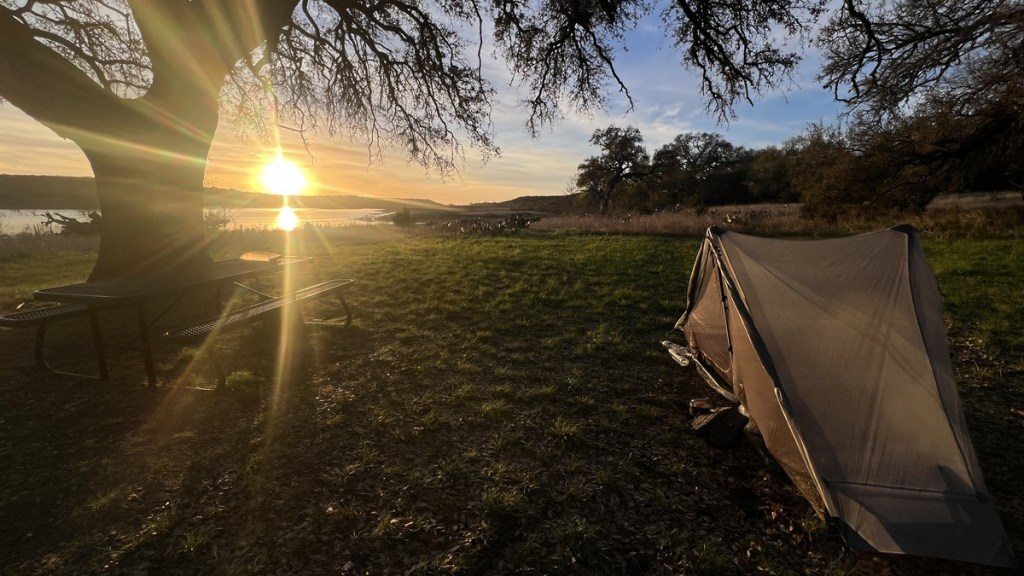
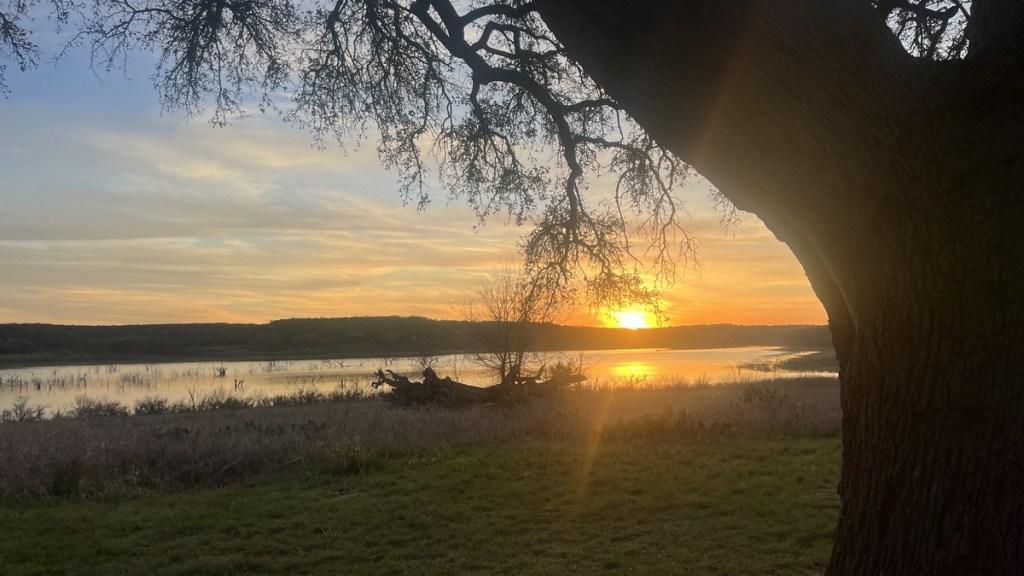
Watching the sun go down was so joyous! Shortly after it dipped below the horizon, packs of coyotes howled to each other on the other side of the lake. I took that as a signal to go to bed, and my weary body was happy to lay down. As I was getting comfortable, an owl gave a gentle hoot from the tree above me, letting me know he was keeping watch! I could even hear gentle plops from fish jumping in the lake.
Day 2: Wednesday 19 March 2026
5:32am Wake Up Refreshed
I woke up with this fine view. The proximity to large cities meant the skies were not as dark as in Big Bend. I had slept well for at least nine hours, and I was very happy that the inside of my single-wall tent was bone dry with no condensation. My body was refreshed, and I made my coffee and oatmeal while looking forward to a great day of hiking.
7:26am The Dawn Chorus
The Merlin app on my phone identified all of these birds by listening to them. So cool. I often saw the red flash of passing cardinals. I also startled several deer as I hiked quietly in the morning twilight.
7:52am Like an English Meadow
As the rising sun lit the landscape and the dried mud footpath led me onward, I was reminded of walking in England. The main thing we miss about England is its prevalence of good footpaths, and this trail felt comfortingly familiar.
7:53am A Fridge!
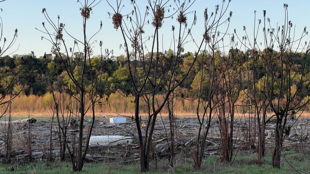
Closed fridges float surprisingly well in flood water, and this one marked the high water mark of the July 2025 floods, along with a lot of other natural and artificial debris.
7:59am Bird Houses
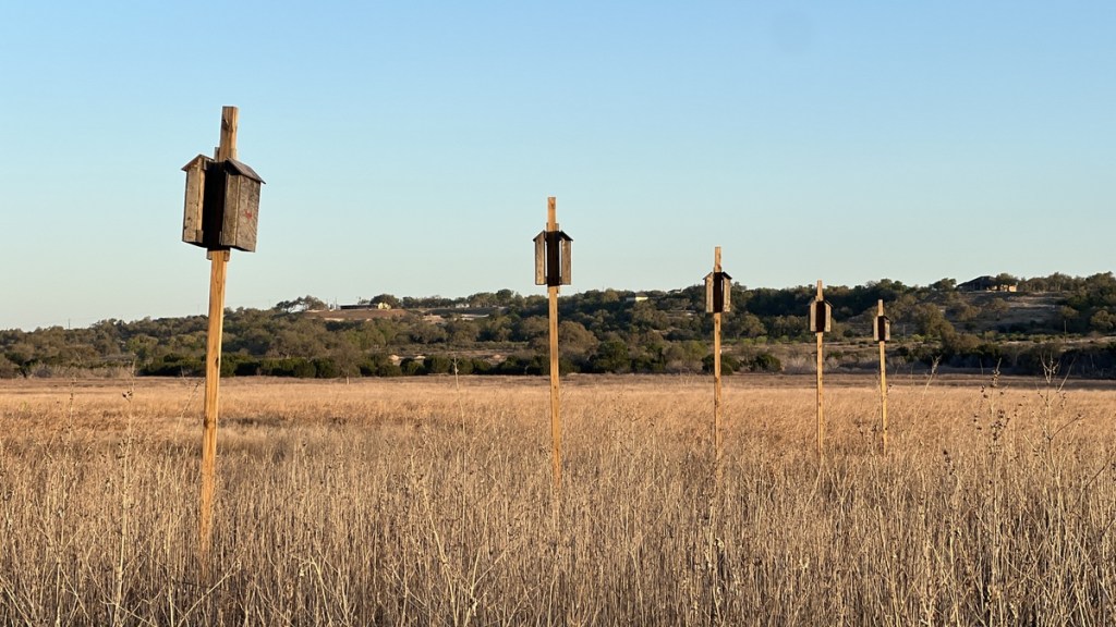
Birds are welcome around here!
8:02am A Moment of Reflection
The trail took me right next to the river. I was still on the lake’s north side. After crossing a bridge, I’d be coming back along the top of cliffs on the other side.
8:11am The Box Crossing
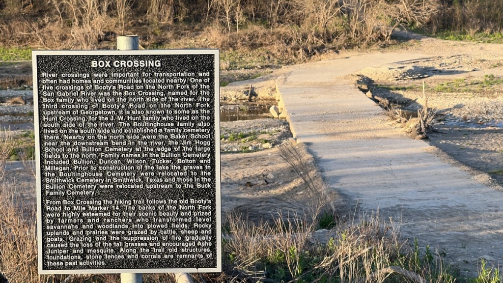
Near Mile Marker 12 was a river crossing, named after the Box family who lived nearby. I could take this shortcut, cutting off a couple of miles, but that was not the plan!
8:22am Cacti
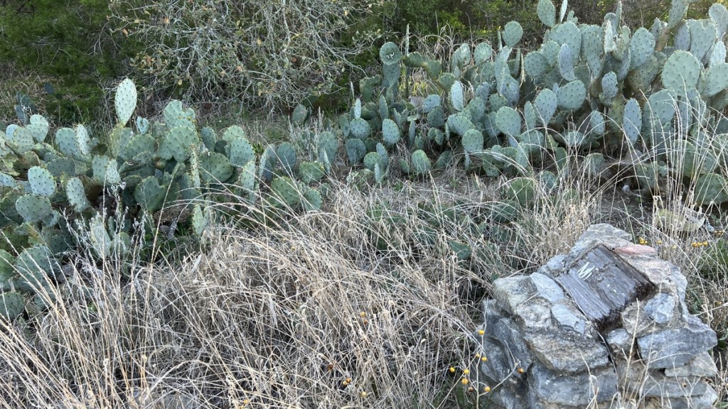
Unlike footpaths in England, there was plenty of cacti alongside this trail. The stone pillar in the front of this picture is the remains of the old-style Mile Marker 12.
8:34am Another Burned Rock Midden
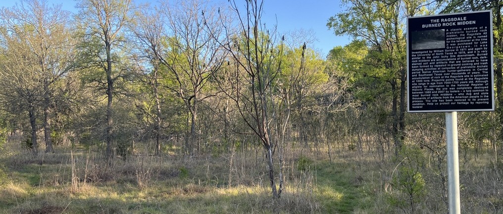
I passed the site of another burned rock midden, but it looked as interesting as the previous one so I did not linger.
8:41am Prehistoric Campsite
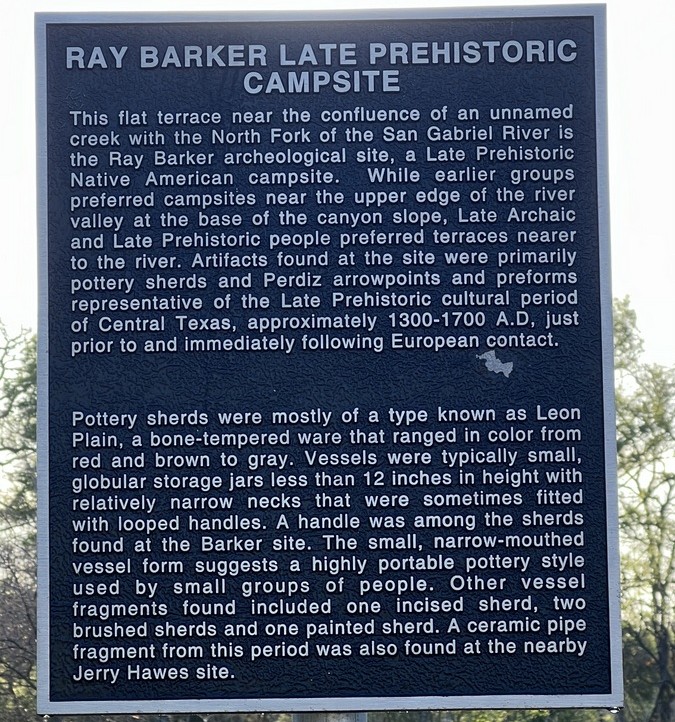
People had been camping in this area for a long time!
8:51am Cross the River!
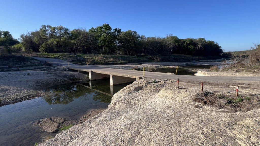
The banks of the river around Mile Marker 11 were smooth limestone pavement. This was the bridge that I crossed back over the San Gabriel River. It was a psychological milestone, and I briefly thought, “I’m nearly finished,” before realizing I still had another 11 miles to go!
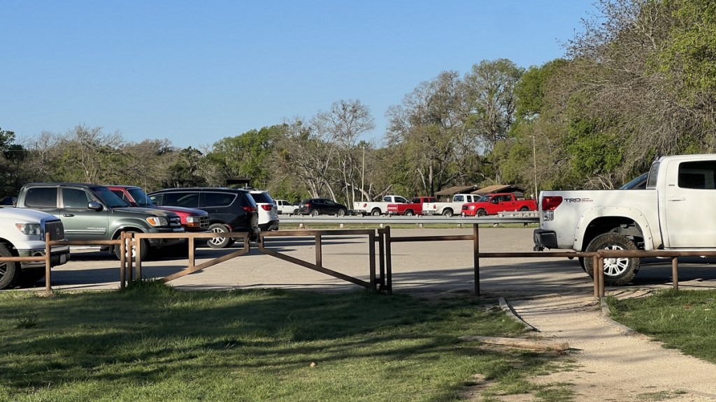
8:55am Lots of Trucks; Not Too Many People
On this part of the trail, I met a few more hikers and a couple of cyclists. This car park at Tejas Campground had plenty of vehicles, but it remained peaceful.
8:56am Back on the Trail
A smooth trail beckoned me onwards. I wanted to complete as much of the trail as possible before the temperatures rose to 80 degF, and I still had a 3-hour drive after walking the remaining 11 miles.
9:39am Fishing
After climbing up a bluff over the river, I spotted a lone fisherman enjoying the cool water below me.
9:46am A Hill!
Shortly after Mile Marker 9 was the steepest hill on the trail. The wooden steps made it easy, and it was not a long hill.
9:58am Evidence of an Old Survey
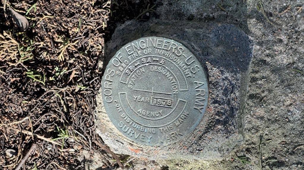
Throughout the hike, I noticed these markers from when the Corps of Engineers surveyed the area before the dam’s completion.
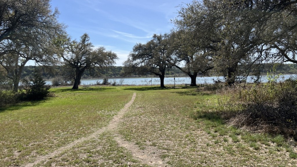
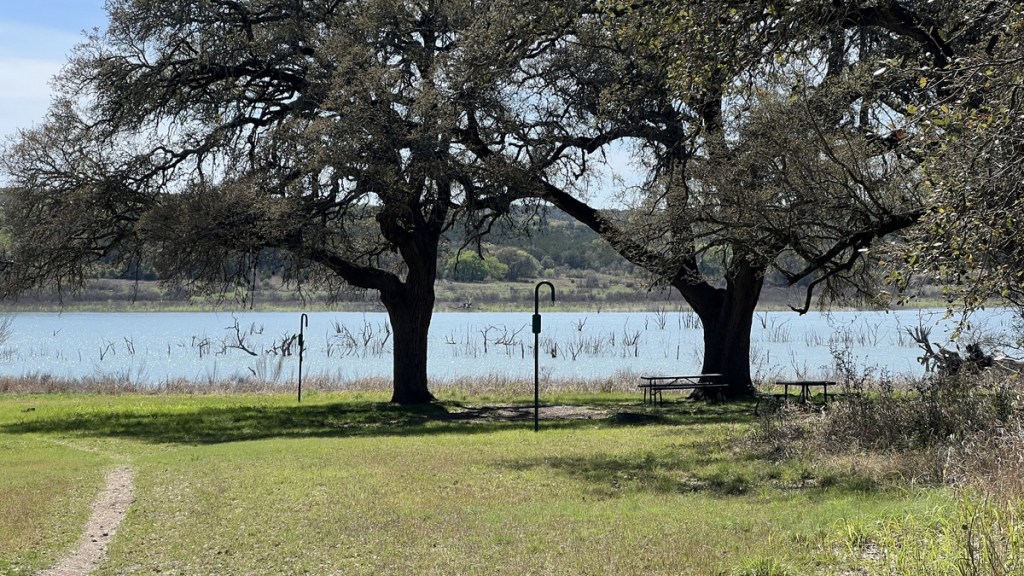
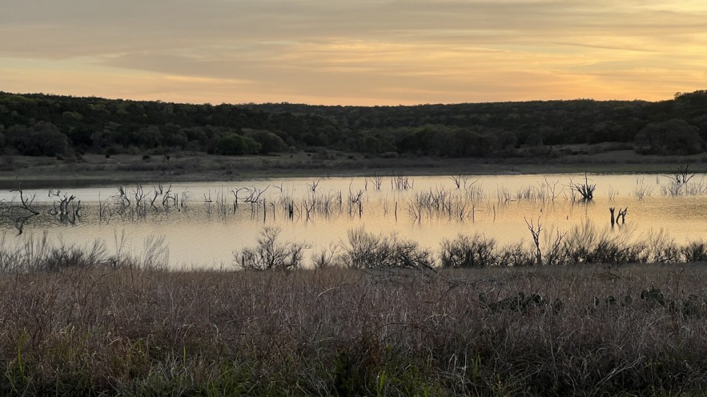
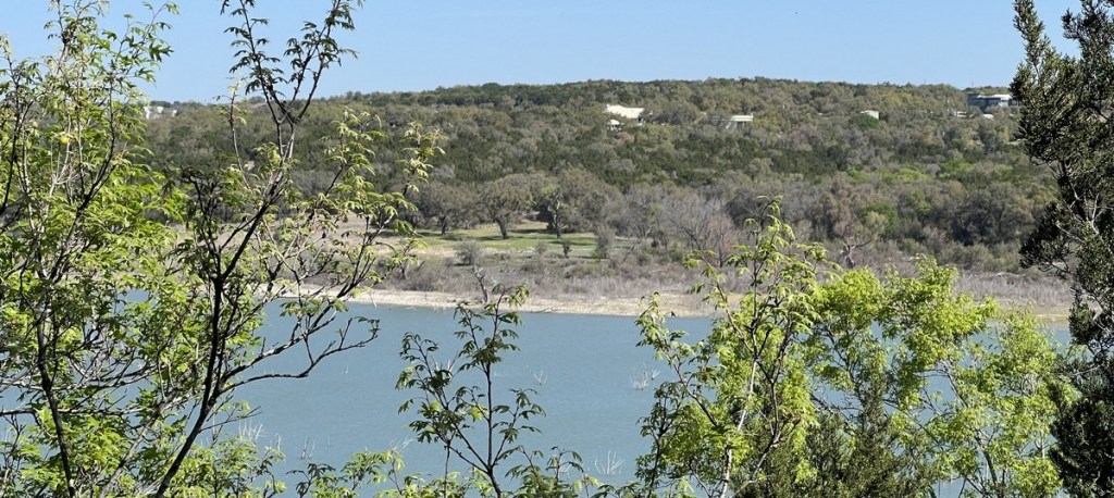
10:08am The View!
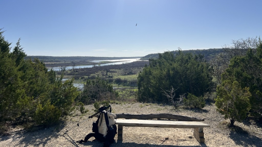
Between Mile Markers 9 and 8, the trail popped out of the forest on a hill top and provided this most magnificent view. The bench told me it was the perfect time for an early lunch, which I savored while watching the vultures soar below me. The lake’s dam was out of sight, reminding me that I still had over eight miles of hiking left, but this did not detract from one of the best views I have experienced while hiking in the southeastern half of Texas.
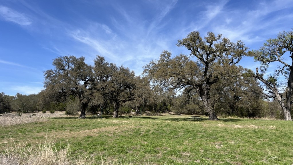
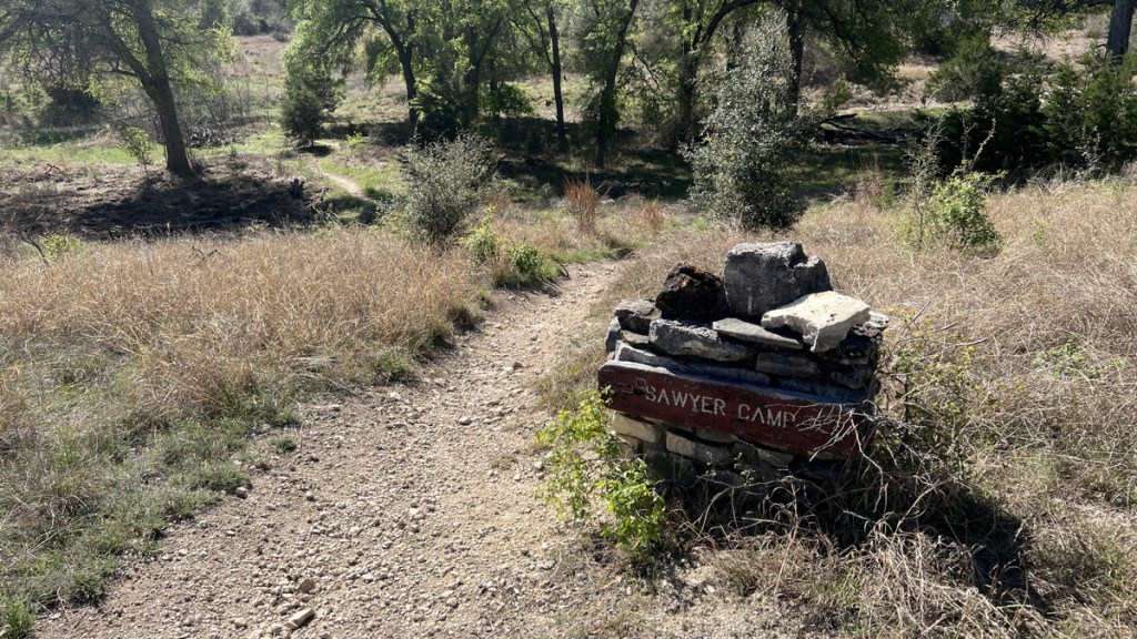
11:16am Passing Sawyer Camp
Along the south side of the lake are a couple of other primitive campsites. I passed the turn off to Sawyer Camp at about mm6.5.
11:30am Walnut Springs Campsite from the Other Side
It was fun to see the previous night’s campsite from the opposite side of the lake. I had not realized that it was so close to houses on the hillside above.
12:26pm Finish the Food!
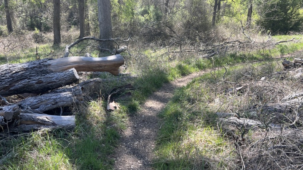
Shortly after the turn to the other primitive campsite at Cedar Hollow at about mm4.5, I spotted this seat-worthy log. It was time to finish off my remaining food (second breakfast?) and keep myself hydrated, as the temperature was hitting 80.
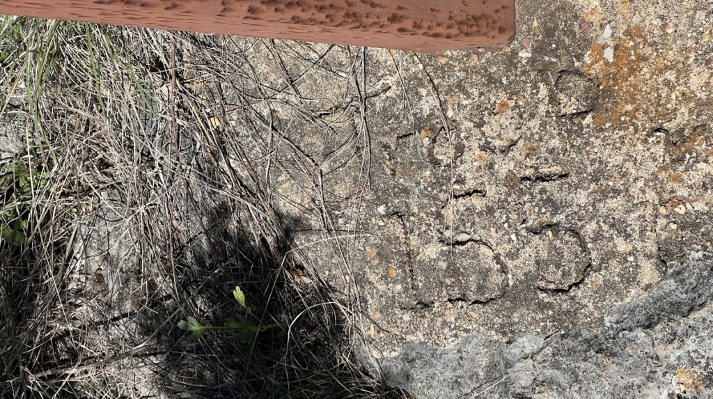
12:34pm Thank You Troop 155!
In the concrete base of Mile Marker 4, I noticed that Troop 155 had placed these signs. I expected that it was an Eagle Scout project from the BSA troop in Georgetown, and I was thankful that they had placed 26 fine mile markers.
12:57pm Civilization
The trail passed right behind these fine houses.
12:59pm Glad That There Was a Bridge
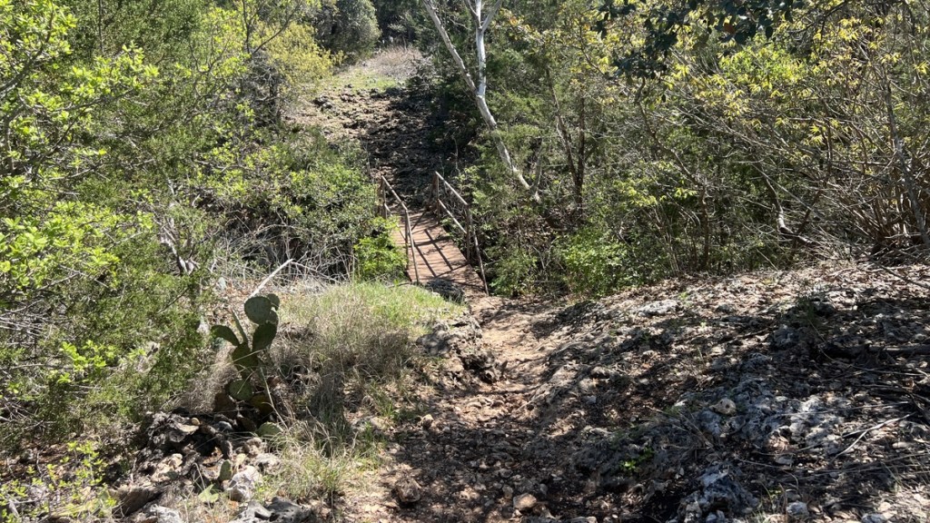
This bridge took me over a deep ravine which would not have been fun to climb in and out of.
1:16pm Crockett Garden
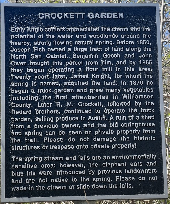
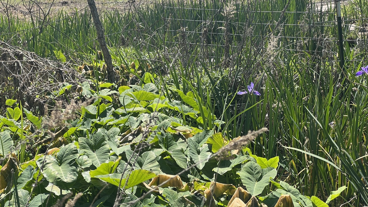
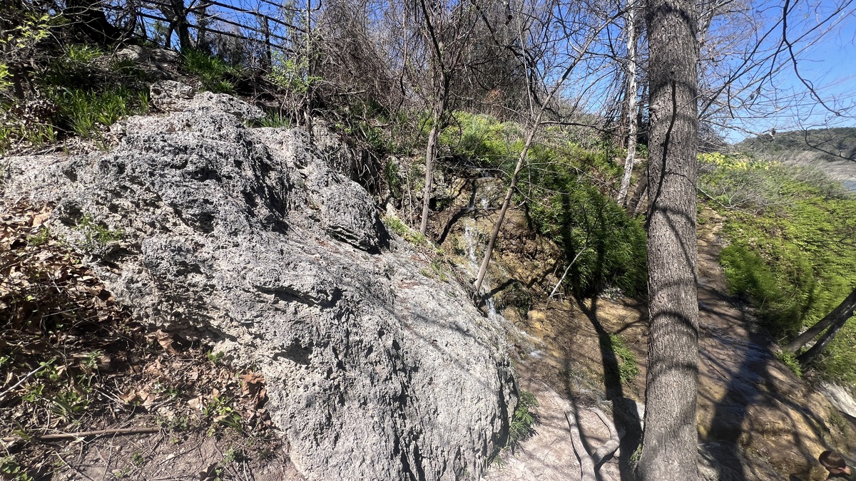
Around mm2.5 is a natural spring that has irrigated a garden for generations and fed a fun waterfall. The waterfall had an impressive overhang until it collapsed a couple of years ago in a freeze.
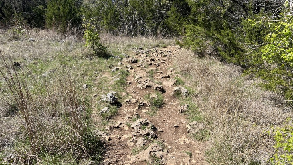
1:32pm A Rocky Final Two Miles
The stretch after Crockett Garden was the rockiest of the whole loop, with lots of sharp limestone. It was also the busiest, with several groups walking from Cedar Breaks to see the waterfall, often in flip flops, which would have been most uncomfortable.
1:55pm My Final Lake View
Between Mile Markers 2 and 1, I enjoyed my final view of the lake. I was opposite Russell Park and its developed facilities, and I felt the contrast between that development and my primitive experience, even though we had been right next to each other.
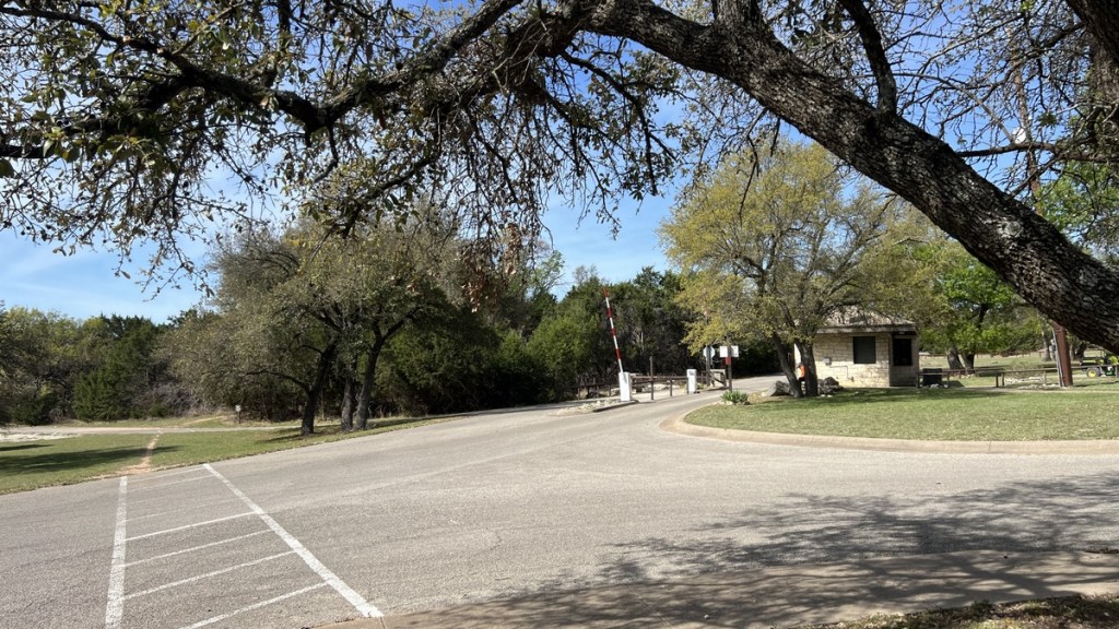
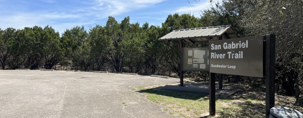
2:31pm Cedar Breaks Trailhead

The sign marked Mile Marker 0, but I still had to walk back to my car.
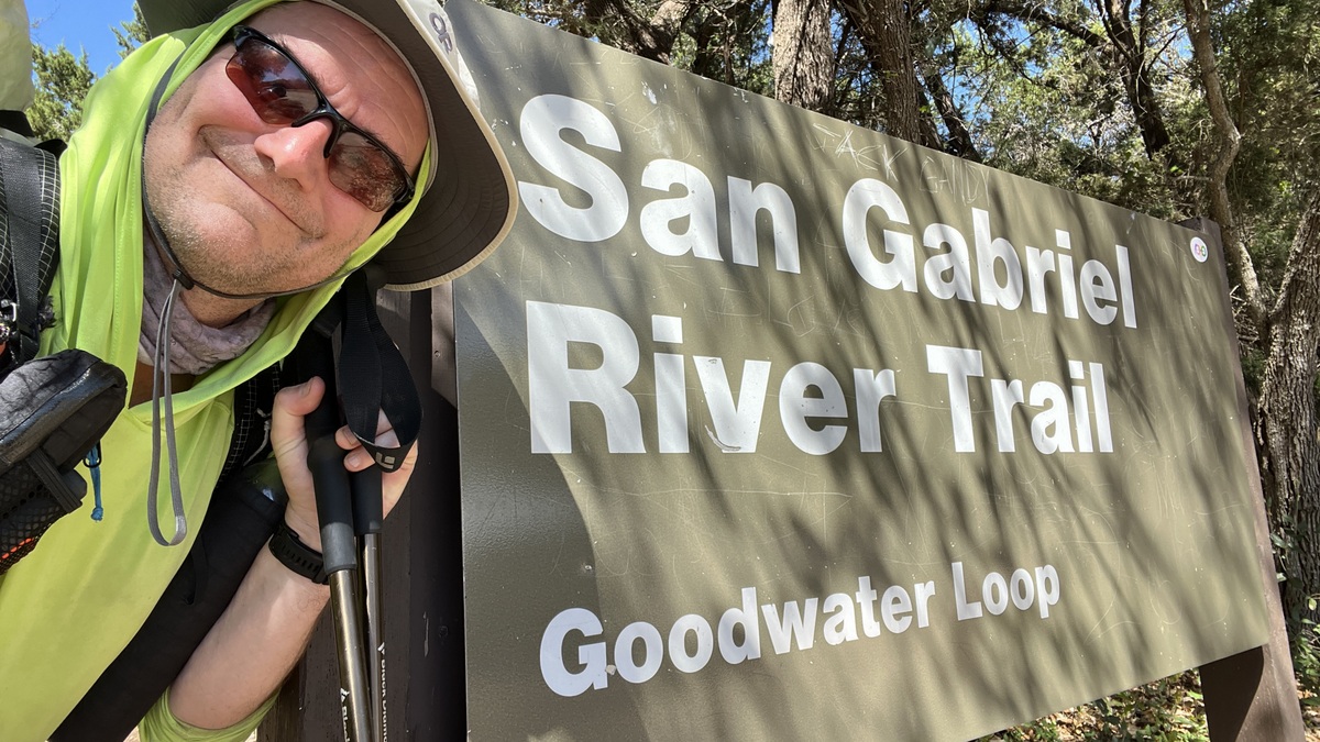
2:39pm Loop Completed!
Back at my starting point, and still smiling, despite the sun and 83 degF temperature.
Reflection
I loved this hike, though I love most hikes. Perhaps this one had perfect timing, though I must concede that the vuggy limestone makes it a long 26 miles. I strongly recommend it, and hope my guide can help others prepare or inspire them.
