

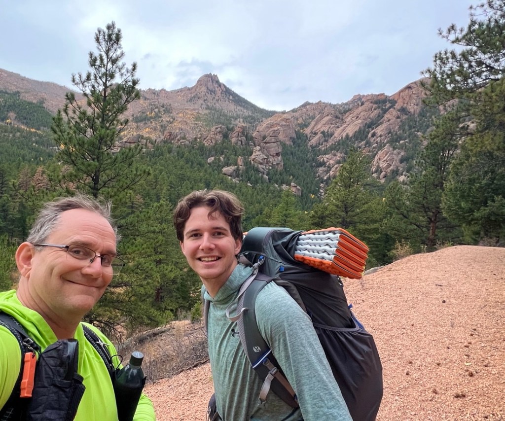
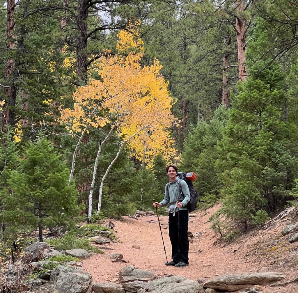
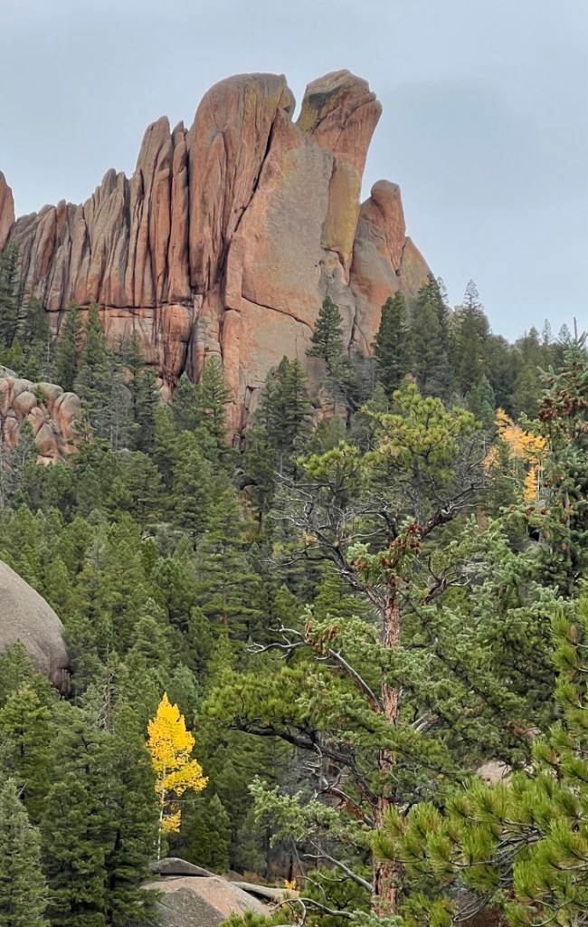
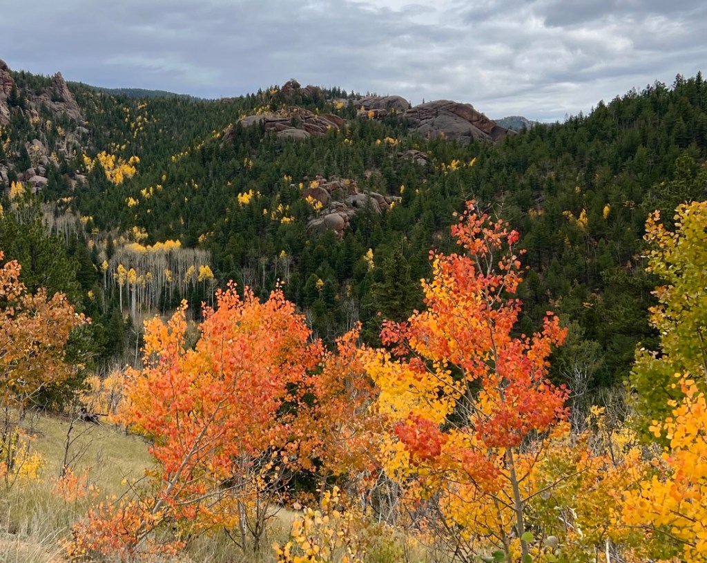
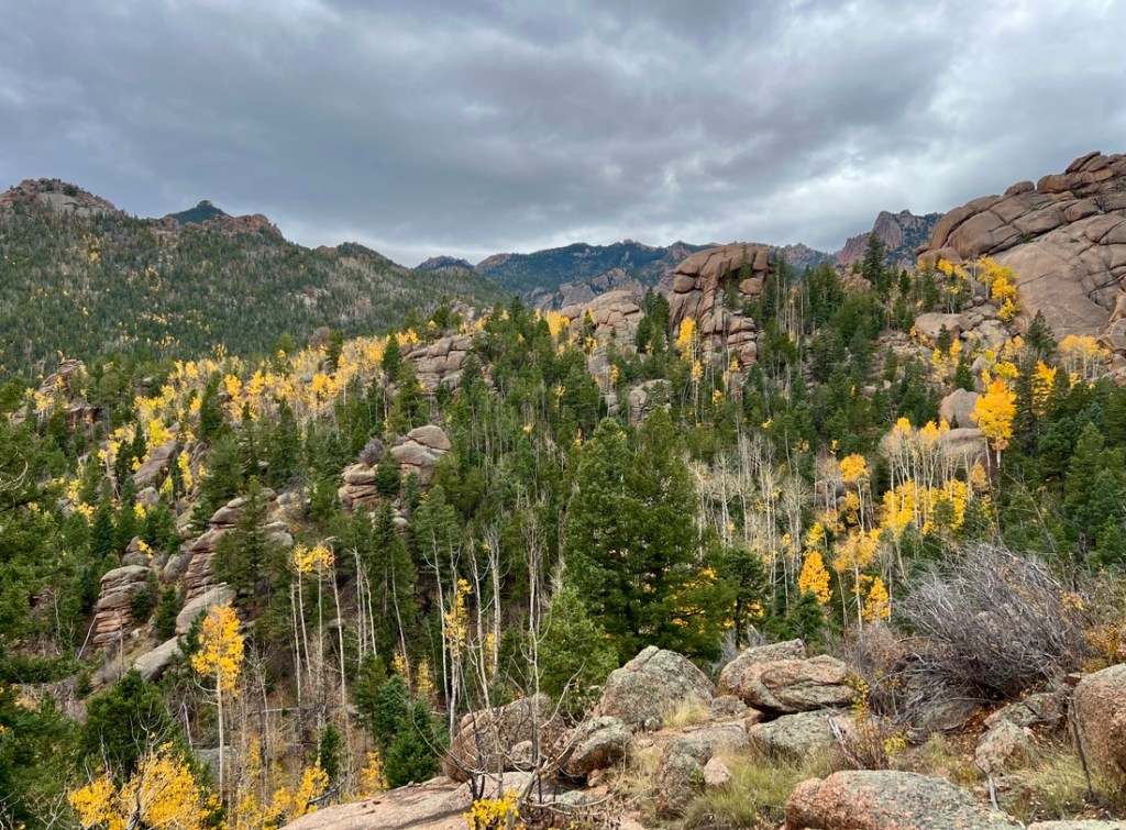
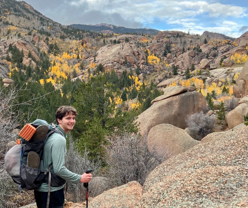
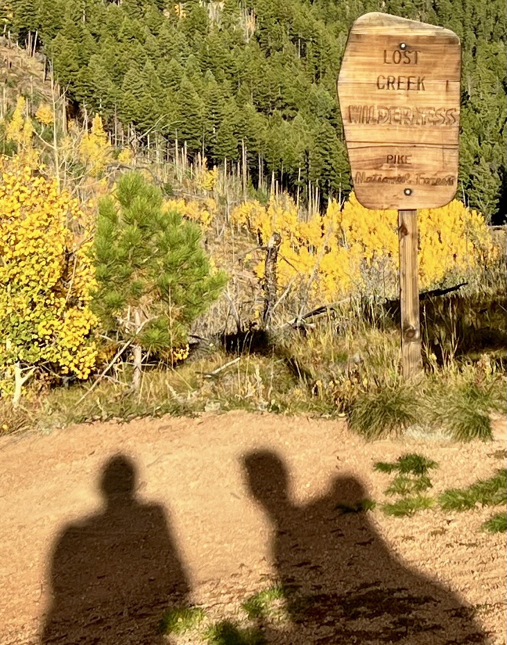
There is always something special about heading into the wilderness. In the US, wilderness areas are public lands with special protections that prohibit motorized and mechanized equipment, helping ensure that visit are natural experiences. When I heard that Samuel was craving a good backpacking trip, I focused on the Lost Creek Wilderness as it was less than a two-hour drive from his college apartment in Golden, on the outskirts of Denver. Its lower elevation, compared to other nearby areas, made it more suitable for a shoulder-season October adventure. Shorter hiking days allowed us to appreciate the beautiful scenery, accentuated by the yellowing Aspens, and gave us time to have a campfire on a drizzly day. The Lost Creek Wilderness did not disappoint and we look forward to returning.
Planning and Preparation
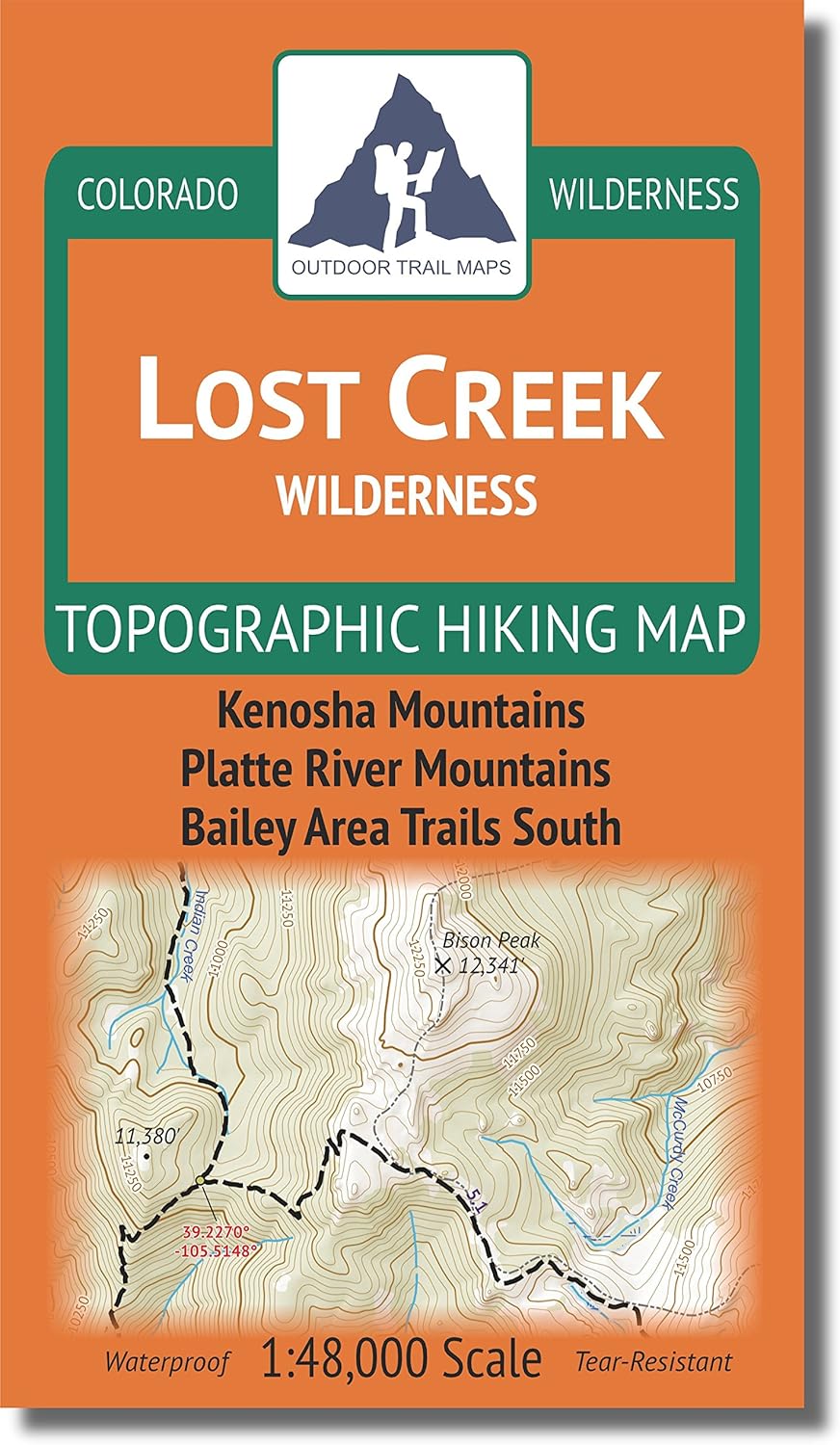
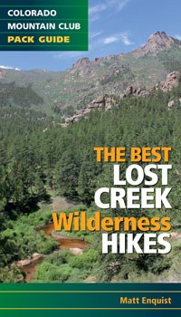
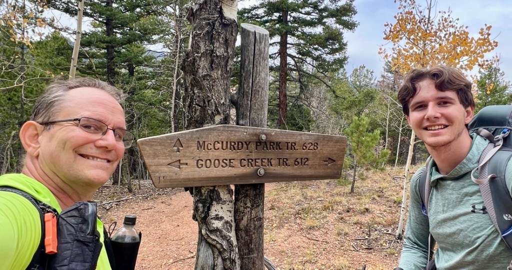
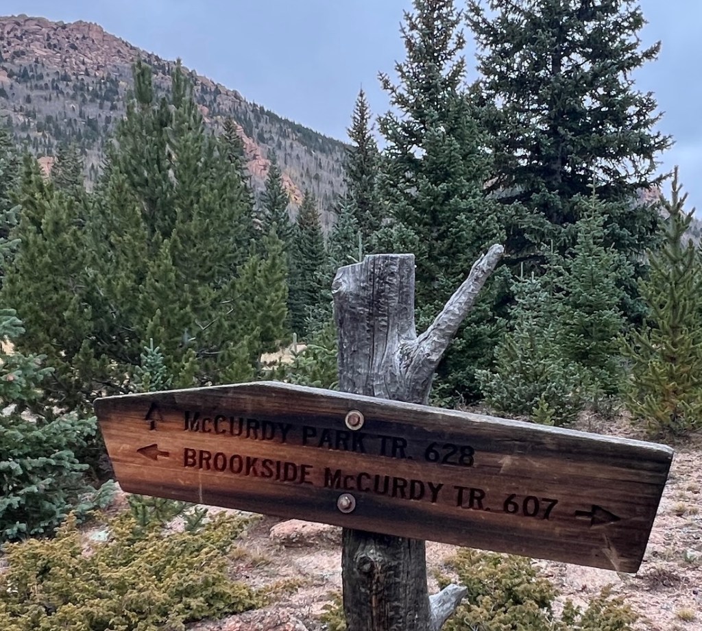
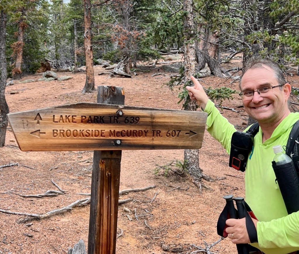
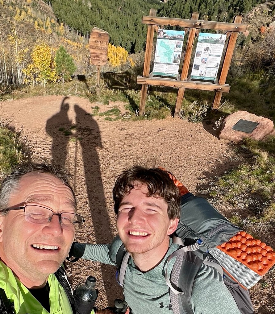
My preparation tools were the Colorado Mountain Club’s The Best Lost Creek Wilderness Hikes by Matt Enquist, and Outdoor Trail Maps’s 1:48,000 scale map of the Lost Creek Wilderness, with AllTrails, YouTube, and random blogs providing useful background. Goose Creek Trailhead was the most accessible entry point that supported loop hikes. With three nights in the wilderness, we had a 22 mile and a 39 mile option. With lots of other things going on in both of our lives, I opted for the 22 mile loop and was not disappointed. From the trailhead, this loop heads north along Goose Creek Trail before turning left onto McCurdy Park Trail and into Refrigerator Gulch. The loop takes the Brookside-McCurdy Trail for about a mile before taking a left onto Lake Park Trail and up to the loop’s high point at over 11,500ft before descending down to Hankins Pass Trail and back to the trailhead. The forecast looked fair with temperatures in the 40s and 50s and little rain, so our usual approach to gear and food worked, resulting in starting weights of 19 and 29lb packs. I travelled from Houston to Golden on the Tuesday to give me a couple of nights over 5,000ft to help acclimate to the altitude before sleeping at over 8,000ft.
Summary
| Date | Title | Garmin Distance (miles) | Hiking Time (h:m) | Ascent (ft) | Descent (ft) | Max Elevation (ft) | Night Elevation (ft) |
|---|---|---|---|---|---|---|---|
| Thu 9 Oct | Hike in from Goose Creek TH | 1.62 | 0:47 | 226 | 194 | 8,226 | 8,226 |
| Fri 10 Oct | Historic Buildings and Refrigerator Gulch | 10.55 | 5:12 | 2,631 | 1,985 | 9,509 | 8,849 |
| Sat 11 Oct | Refrigerator Gulch to Hankins Pass | 13.51 | 7:29 | 3,960 | 3,638 | 11,664 | 9,201 |
| Sun 12 Oct | Hike out | 3.08 | 1:18 | 154 | 1,125 | 9,201 | |
| Totals | 28.76 | 6,971 | 6,942 |
Day 1: Hike in from Goose Creek Trailhead
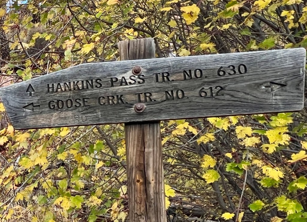
The two-hour drive from Golden was uneventful. The last thirty minutes was in the dark and on a dirt road which thankfully was in good condition. The large parking area at Goose Creek Trailhead had a handful of cars. A clear sky full of twinkling stars greeted us as we donned our backpacks and headed into the wilderness. We got our self-serve permit and tried to read the signs in the dark before heading in. The consistency of signage on entering wilderness areas gave us warm familiarity.

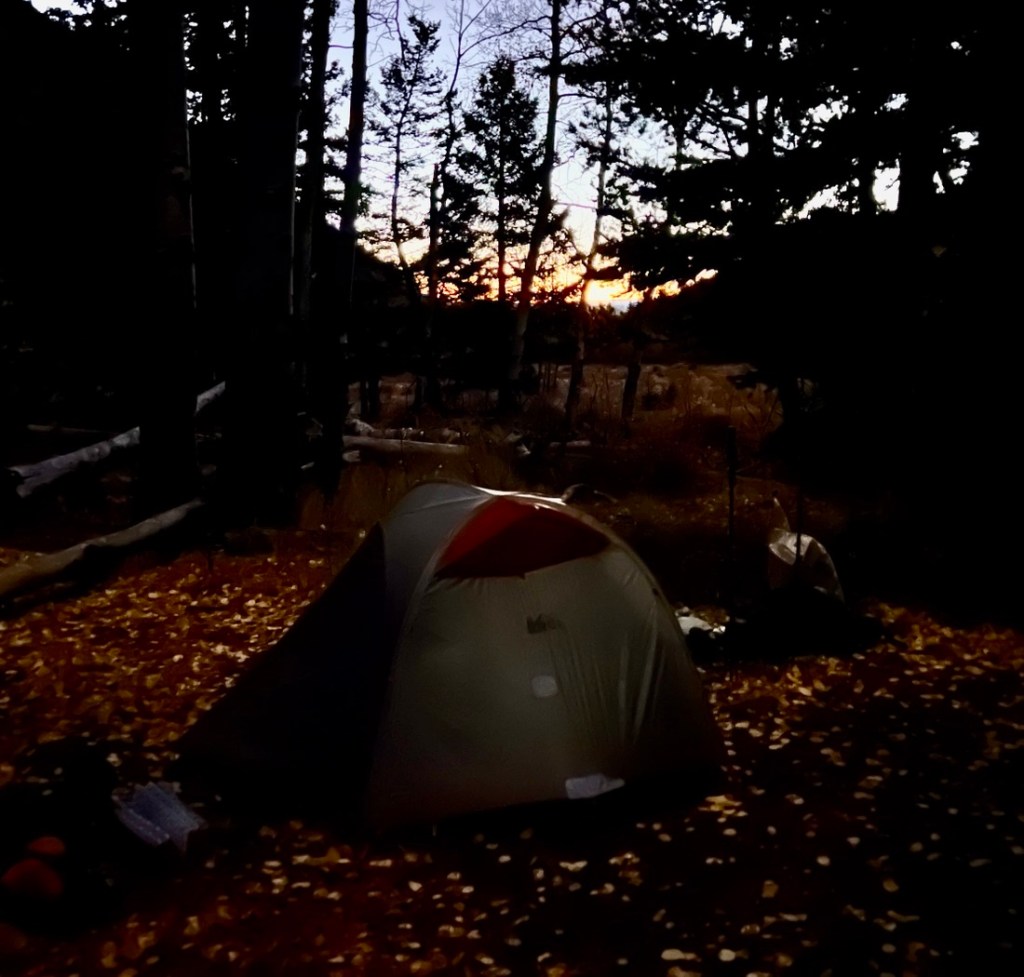
Hiking in the dark is a fun variant to daytime hiking. As well as a sense of euphoria from being back in the wilderness with Samuel, there was the added mystery of not knowing what existed just outside the headtorch’s beam and imagining what the babbling brook looked like. Our target camping area, based on reports and maps, was at 1.3 miles. At about 1 mile, we spotted a couple of campsites right next to the trail, which followed Goose Creek. We passed next to a group of three people with friendly dogs and a campfire before arriving at our target area. On arrival, we decided it did not look great for tents, so we followed the trail up the hill and found a small but perfect site. Temperatures were great in the low 50s, without the need of a puffy jacket but the sleeping bag was welcoming. Unfortunately, my thermometer’s battery had had enough. Joyfully, my InReach behaved and quickly picked up a GPS location and allowed me to check in with Janet and get an updated weather forecast. Today’s night time hike meant it was a “no photo” day, which was a pleasant change, with only my memories to remind me of a fine evening.
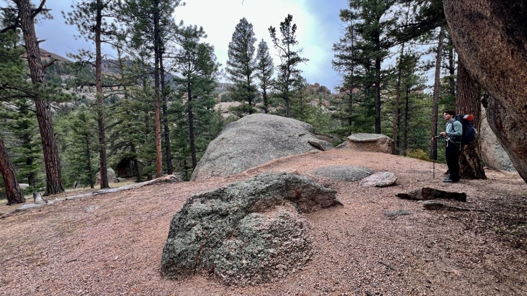
Day 2: Historic Buildings and Refrigerator Gulch
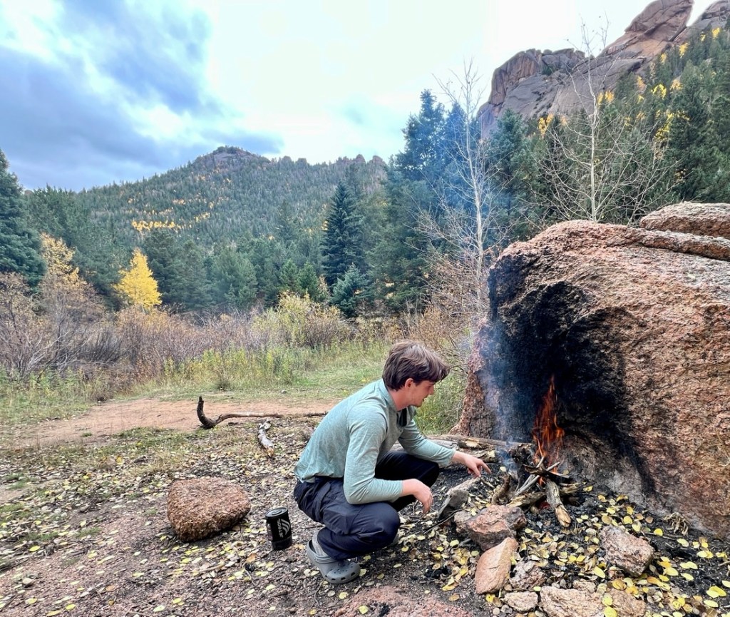
It was a somewhat restless night as we adjusted to the altitude, temperatures, tent, and > six foot tall Samuel. With sunrise at 7, we set an alarm for 6, though we followed our usual routine of me packing all of my stuff up first, giving Samuel that extra 15 mins of sleep. Then I fix breakfast while Samuel packed up his stuff and the tent.

We took our time with breakfast, chatting and enjoying the sunrise. With our combined gear list well-evolved, there was little faffing, just enjoying the time. We were hiking at 8:15am.


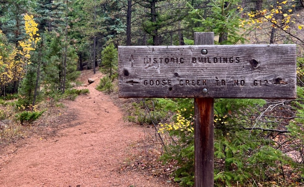
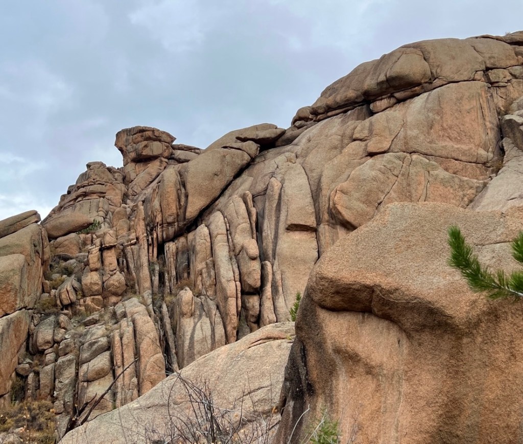
In the early 1900s, the Antero and Lost Park Reservoir Company worked on two reservoirs to fill the High Line Canal to take water through Denver to the eastern plains. At the site of the attempts to build the Lost Park reservoir, there were the remains of houses for the workers, some machinery, and a small cemented wall. The project was abandoned in 1913 as it proved too difficult.
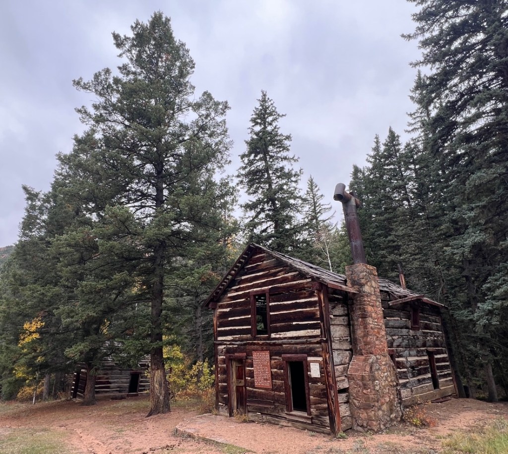
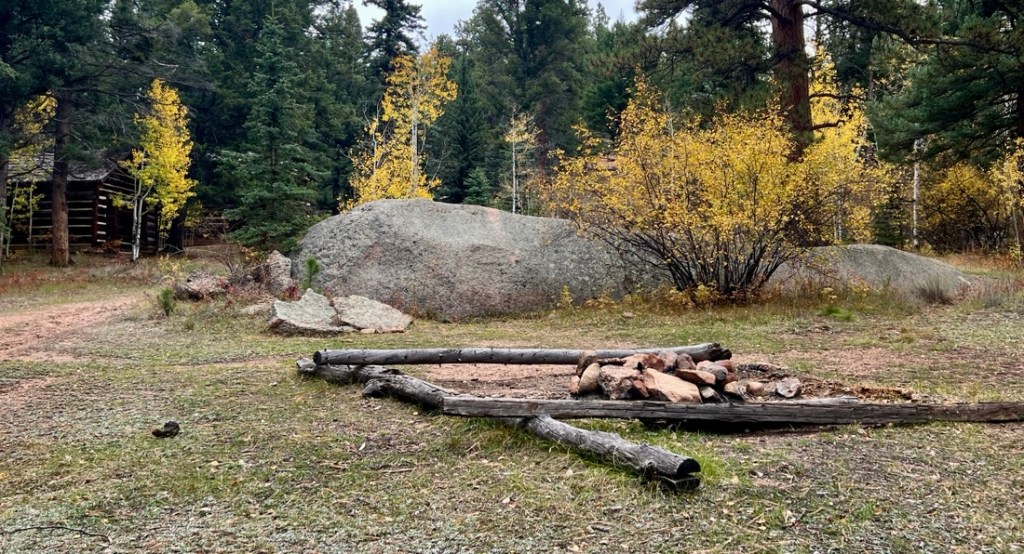
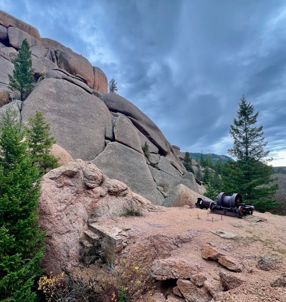

Visiting the historic buildings was a cool short detour. Going the extra mile round trip to see “Shaft House” didn’t add much, though we had entered “Reservoir Gulch.” After lunch, we were ready for the few miles to our campsite.
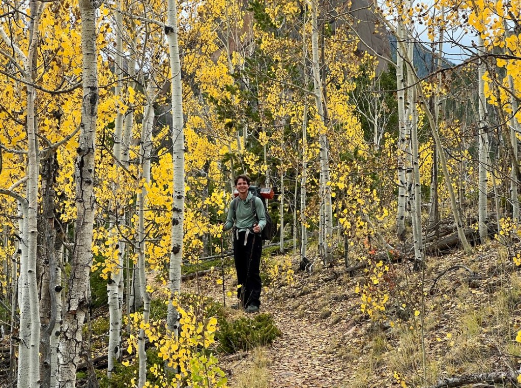
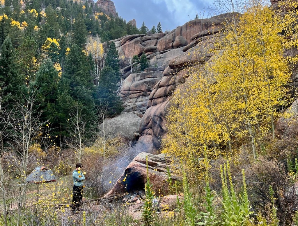
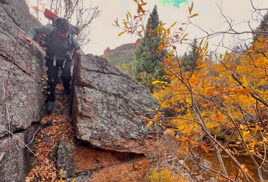
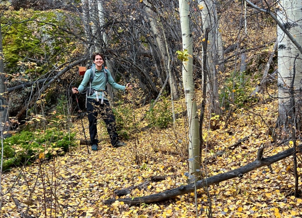
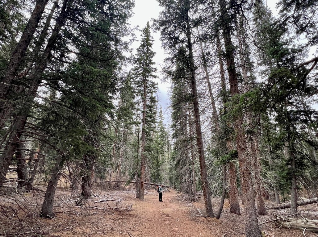
The walk to our campsite was another easy path, going up and down with many aspen views. I had been expecting this path to get a lot rougher but it remained straightforward.


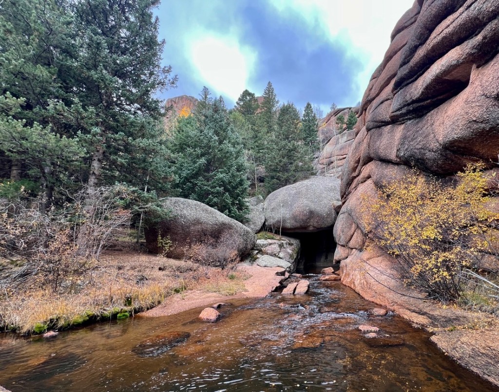
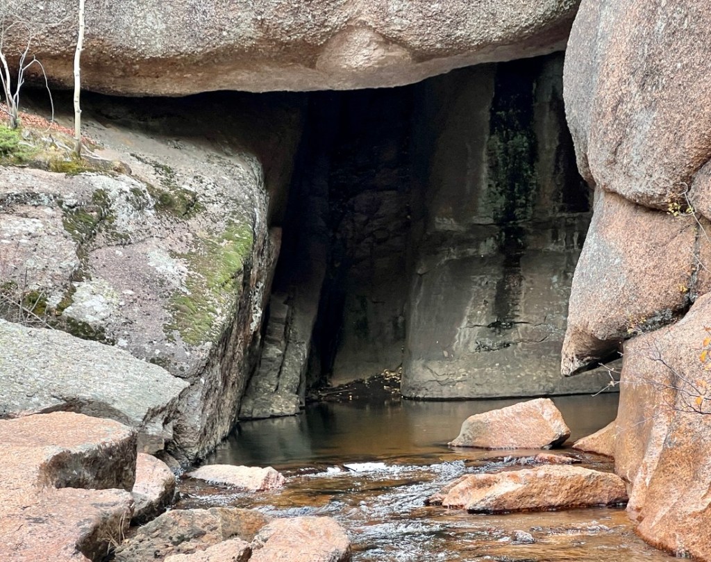
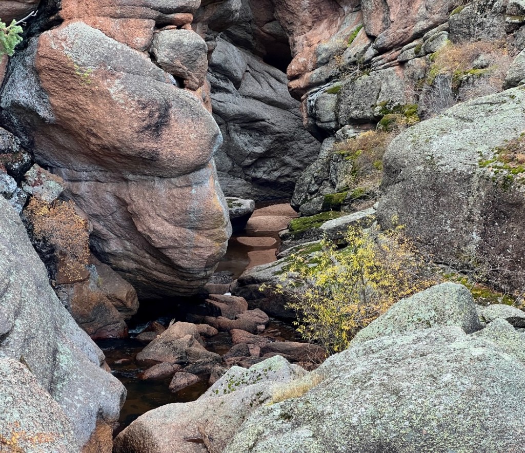
We arrived at our campsite in its expected location, but the cave from which Lost Creek emerged was larger than expected, but flooded so we did not explore.
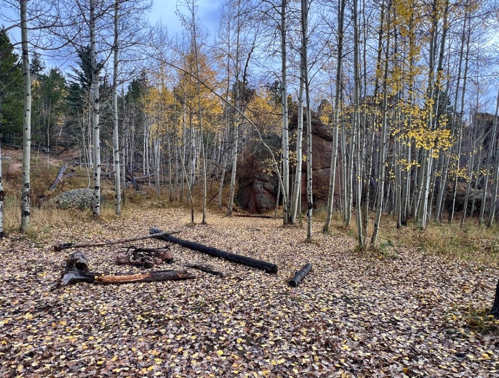
We used a convenient campsite next to a campfire ring and filtered refreshingly-cool water from the river. That night, we found out the ground was sandy and the area was damp. There was an alternative campsite downstream a bit which might have been better. We also passed a couple of great spots a little further down the trail, but we did not explore before choosing our site.
Day 3: Refrigerator Gulch to Hankins Pass
Our night was dampened by rain and condensation, but a rabbit brightened our breakfast alongside a beautiful sunrise.


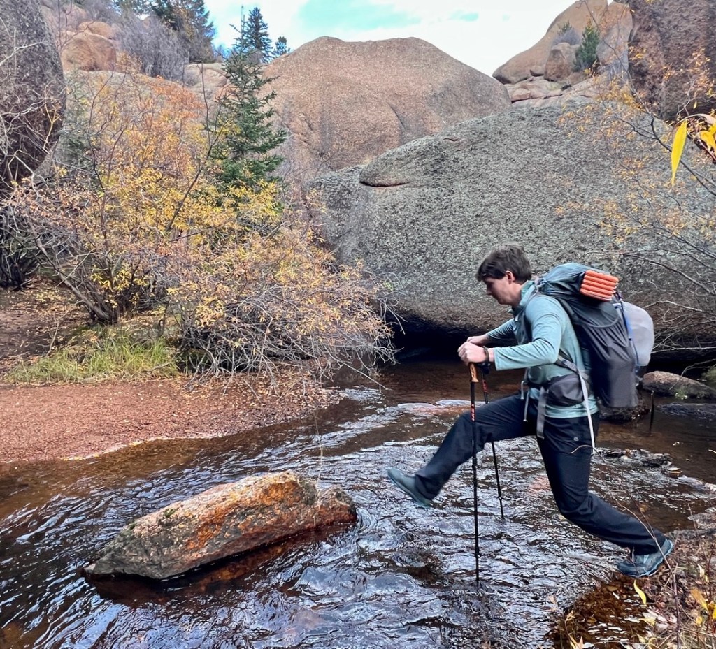


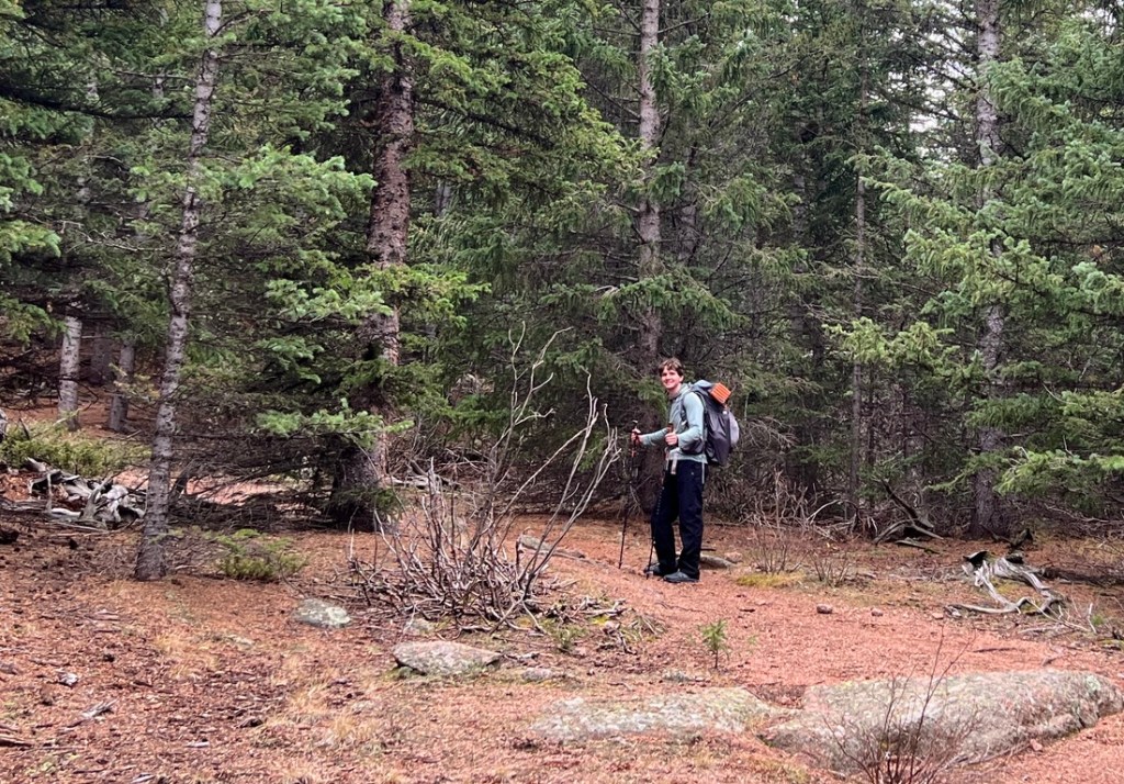


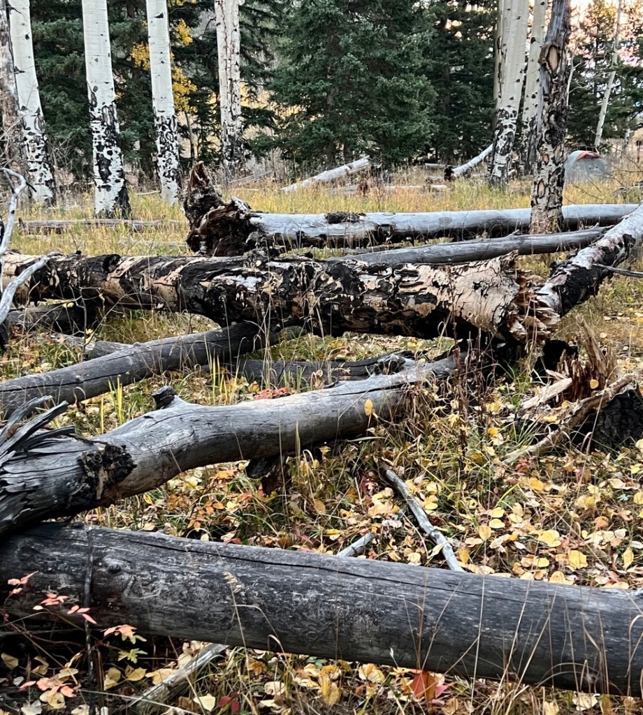
Our goal was to find a campsite with water as early as possible. We found a site immediately after crossing a small river and started setting up camp and having refreshments. I checked an updated weather forecast on my InReach which predicted wind gusts up to 40 mph that night, so we immediately looked for any dead trees that might fall on our tent. The area was already littered with fallen trees. Our search for an alternative site took us to a better location, a bit further from the trail and with some shelter from the wind. We enjoyed dinner after a long 13 mile day.

Day 4: Hike out
We had just a three-mile hike out in the morning. We could easily have hiked out the day before, but it was fun having that extra night while knowing we were close to the car. The sunrise did not disappoint!
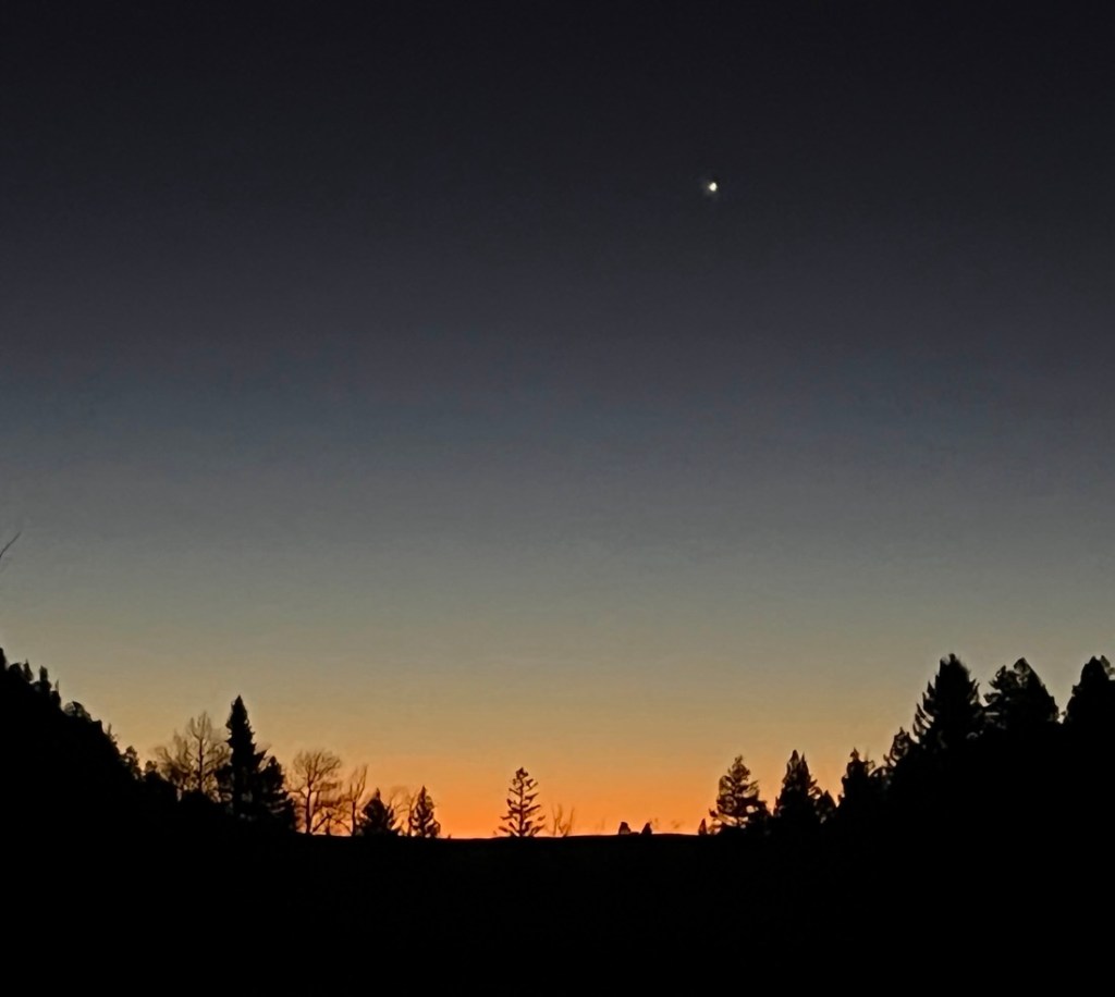


We were hiking as the sun rose, loving how the colors changed as the sun rose.


We were finished! This was a more relaxing trek than we have typically completed, but that suited us. It was a special time to be able to catch up with Samuel without being exhausted, and ensuring he was ready to complete several assignments and study for upcoming tests. The Lost Creek Wilderness was a fine host for our short adventure and I look forward to exploring more of it.
