Our final day’s walk was enhanced with a visit to the Crown Jewels and disrupted with a thunderstorm. We walked under the Thames from London’s new financial district to its historical naval centre: Greenwich.
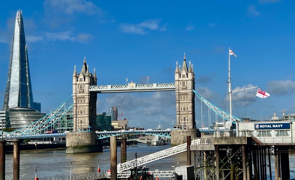
It was fun starting the day right next to Tower Bridge.
Ready!
We started by checking out the Crown Jewels in The Tower. No photos were allowed. We were impressed by the size of some of the jewels. Having visited them just two months earlier, two things stood out to me. First, how the monarch’s coronation is such a Christian ceremony, with crosses prominent in the coronation regalia and the ceremony having multiple biblical echoes. I was also very happy to understand more about their history, that the Crown Jewels were all destroyed in 1649 by Oliver Cromwell when he defeated and killed Charles I in the English Civil War. A new set was made for the coronation of Charles II in 1661. The Coronation Spoon from the 12th-Century was the only item in the original Crown Jewels that survived.
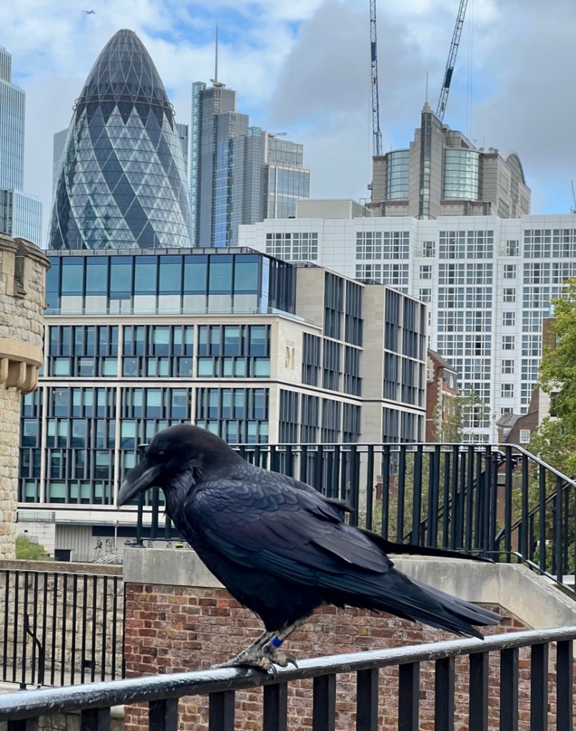
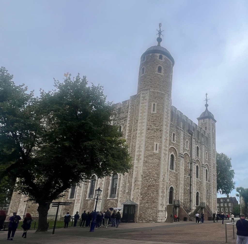
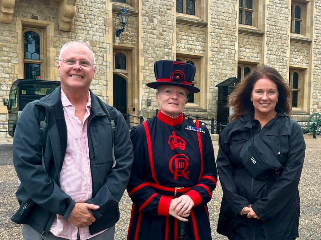
This raven was standing guard outside the Crown Jewels vault. I decided not to poke it.The White Tower, the oldest part of The Tower, was built in the 11th century. A fun photo with a Yeoman of the Guard. She had served in the Royal Air Force for 32 years with her favourite deployment in Cyprus as she liked the sun! The Tower is right next to Tower Bridge.Traitor’s Gate – the Tower’s connection to the River Thames.
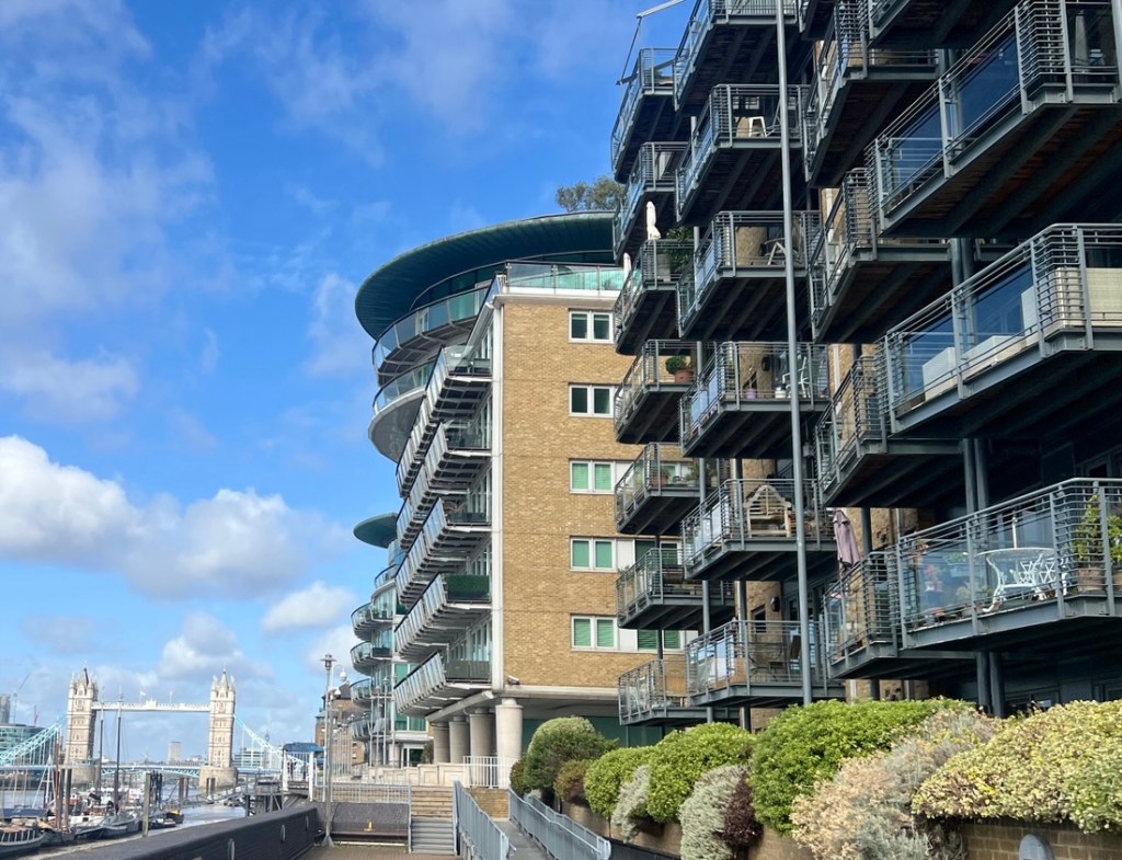
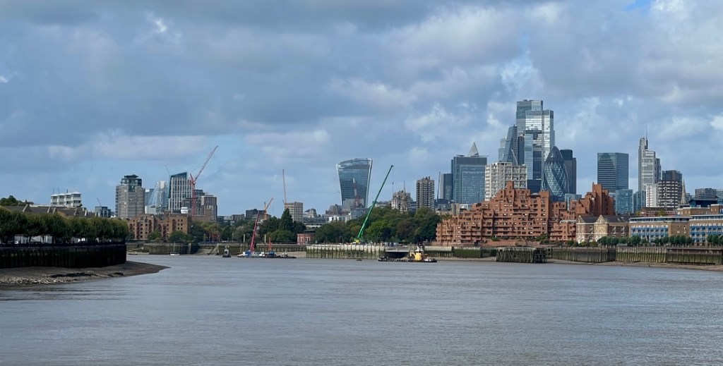
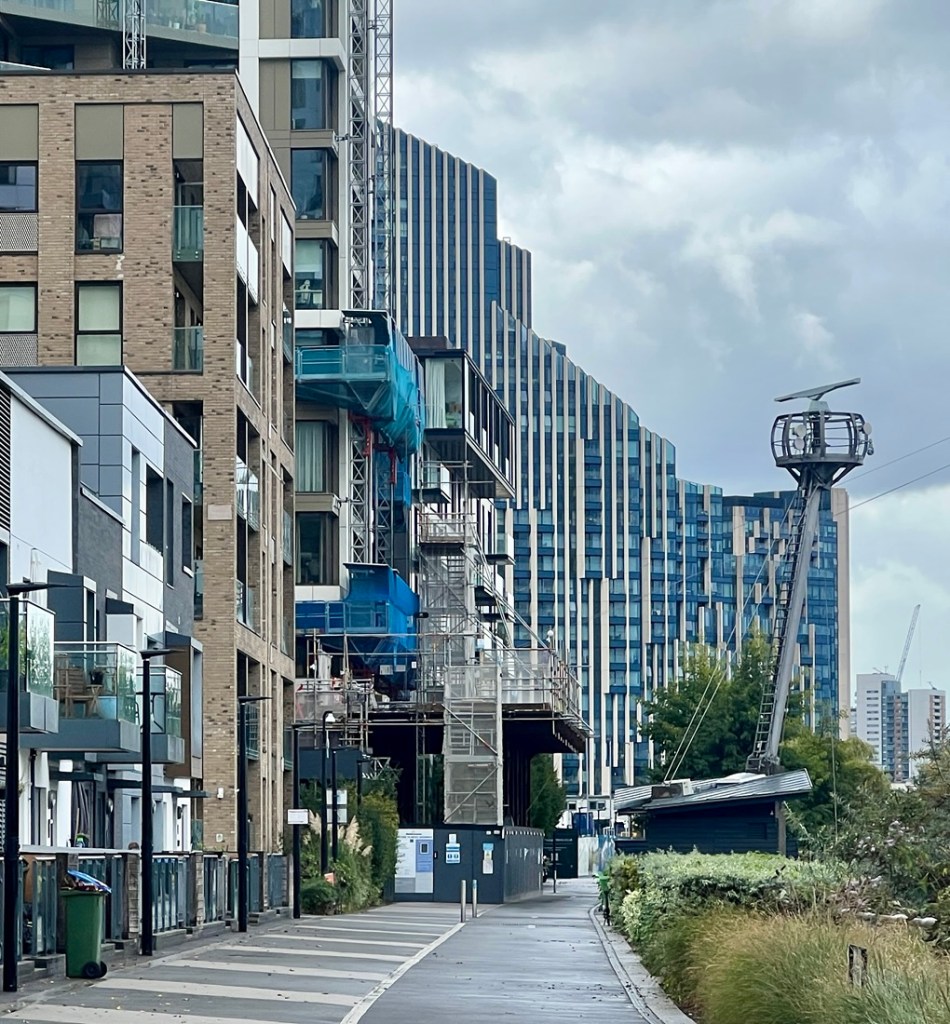
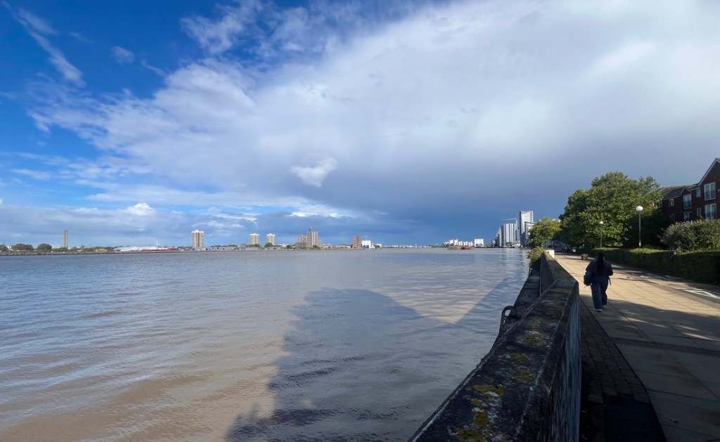
After the Tower, we were back on the Thames Path Trail. I chose to take the path on the north bank as it took us through the historic docklands district and many places that I had heard of such as Wapping, Shadwell, Limehouse, Canary Wharf, and Millwall. These areas were heavily bombed in WW2, as the bend in the river had many docks and were a target. After the war, the area struggled to redevelop due to the legacy of docks and the lack of public transport. That changed in the 80s with more flexible planning permission and the opening of the Docklands Light Railway, and the area is London’s second financial district and home to many banks.
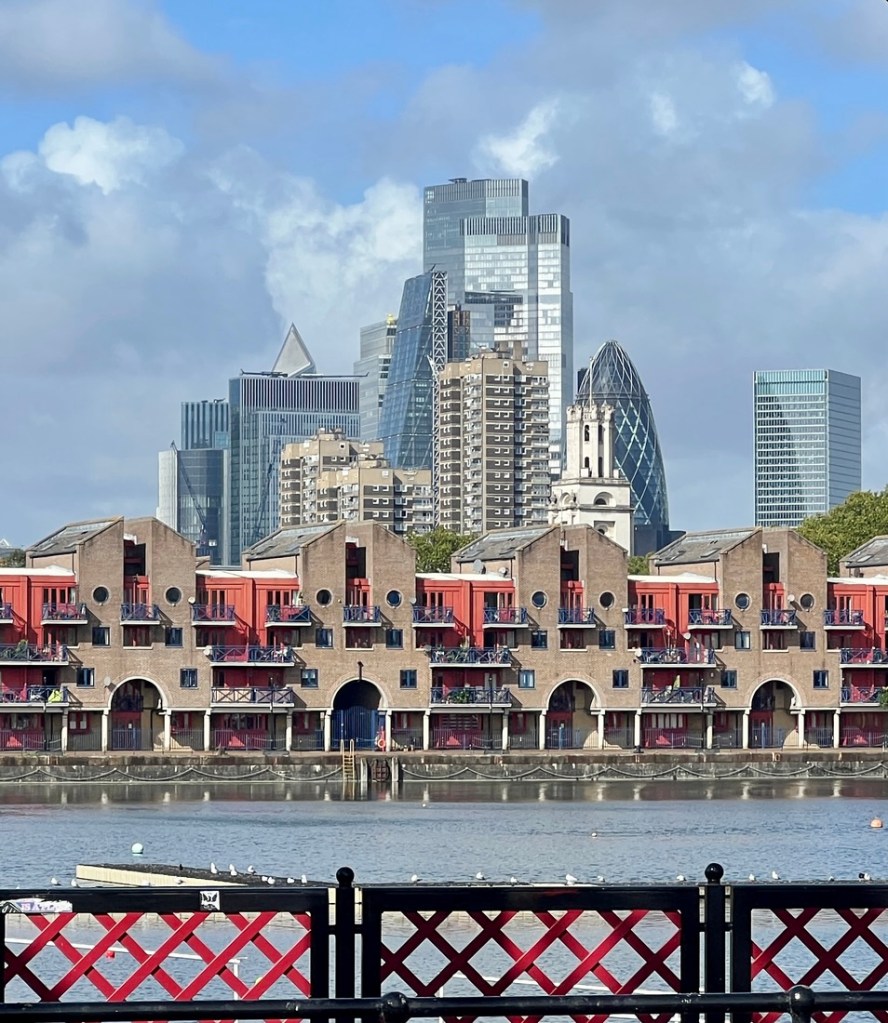
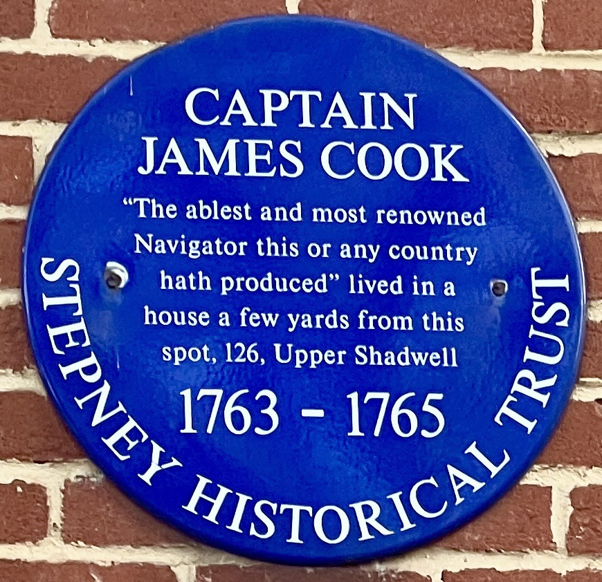
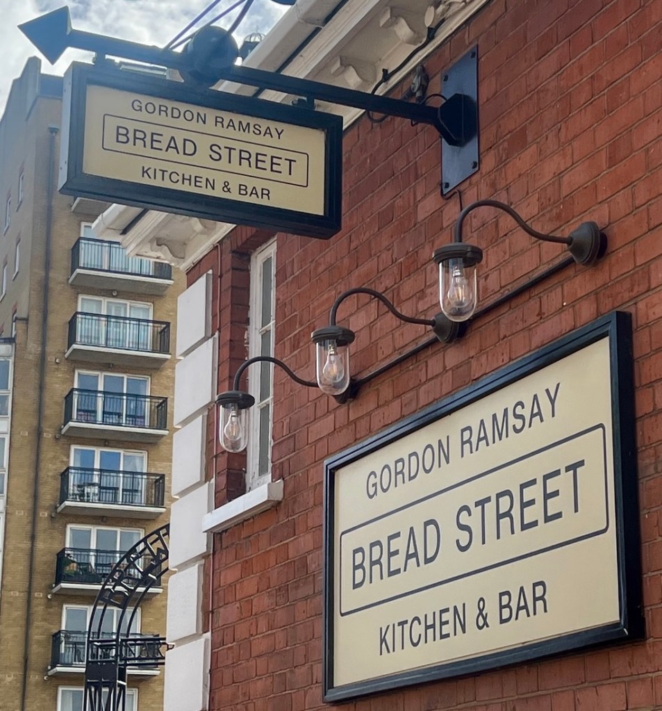
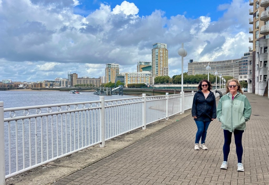
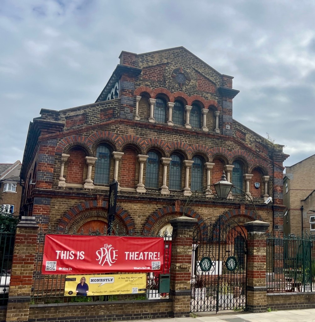
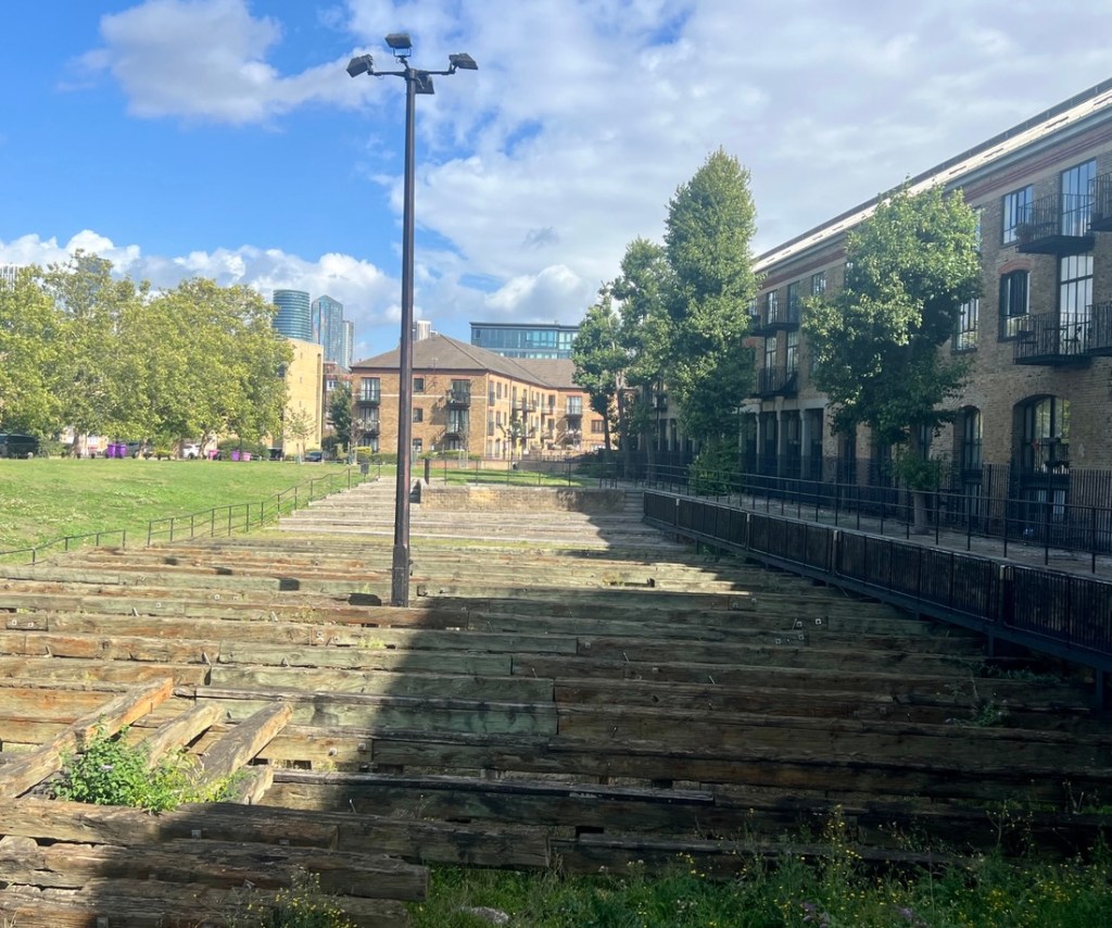
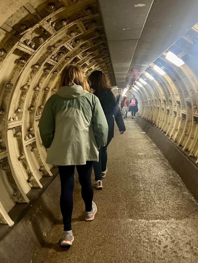
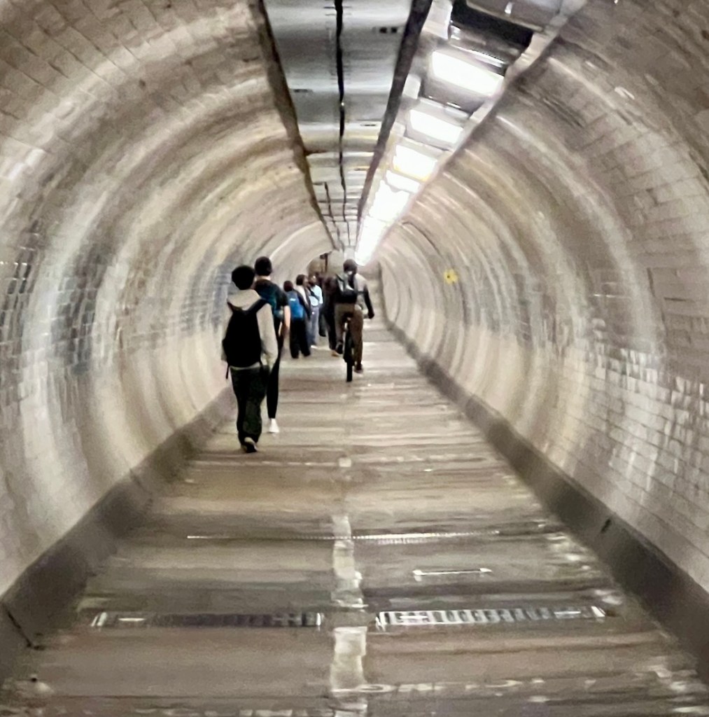
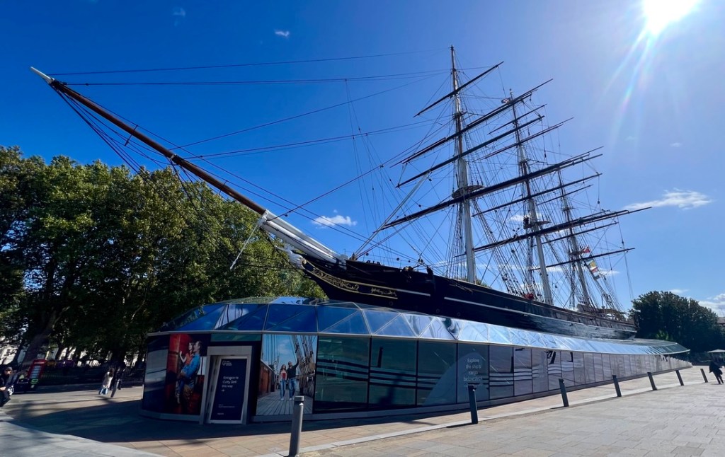
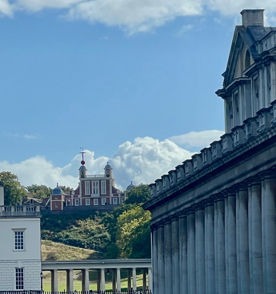
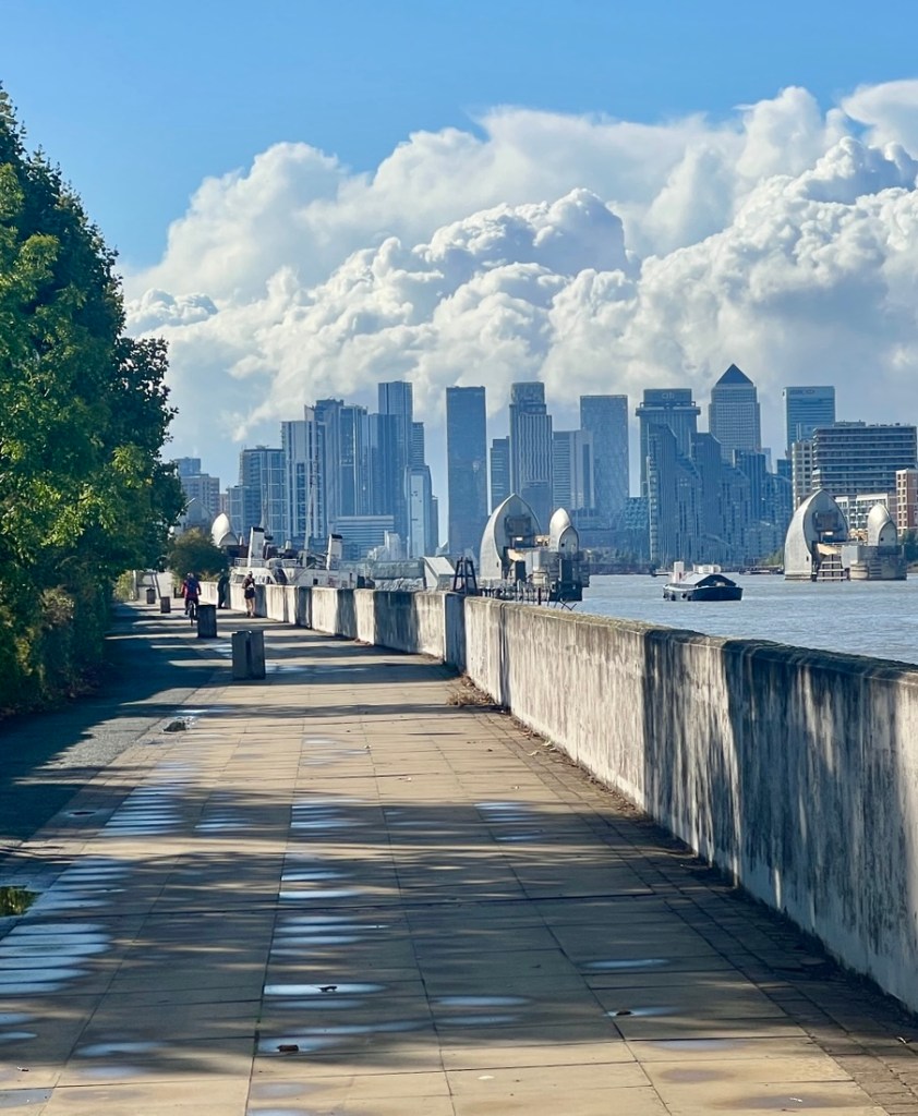
Farewell to Tower Bridge as we head downstream on the river’s north bank.The next few miles was mostly filled with modern flats.Flats with great views across the river.Shadwell Basin no longer supports shipping but has pretty flats overlooking the water.Captain James Cook was a successful explorer and the first European to map New Zealand, Australia, and Hawaii.The path in this section was difficult to follow, often with roads closed and no detour signage. It made the six miles to Greenwich feel very long.It was an odd place for a Gordon Ramsay restaurant.Looking back up river toward the old financial district.Once “around the bend” by Canary Wharf, the path was flat, wide, and easy to follow along the river, but was almost deserted.The only evidence that we saw of the war.Once past the financial district, the flats became older and less fancy.A theatre used this retired church.These logs were left from the launching system for The Great Eastern liner in 1858.Once at the tip of “the bend”, we could see Greenwich across the Thames, including the Old Naval College on the left, the Cutty Sark ship, the Royal Observatory behind the ship, and the dome marking the pedestrian tunnel that passed under the Thames.From the same spot, this was the view north toward Canary Wharf.The northern end of the pedestrian tunnel.The tunnel was clean and bright but still somewhat claustrophobic.It took about ten minutes to walk through the tunnel.We popped out of the tunnel right next to the Cutty Sark, a tea clipper built in 1869, one of the fastest of her day, and one of the last trade ships to be replaced with steam.
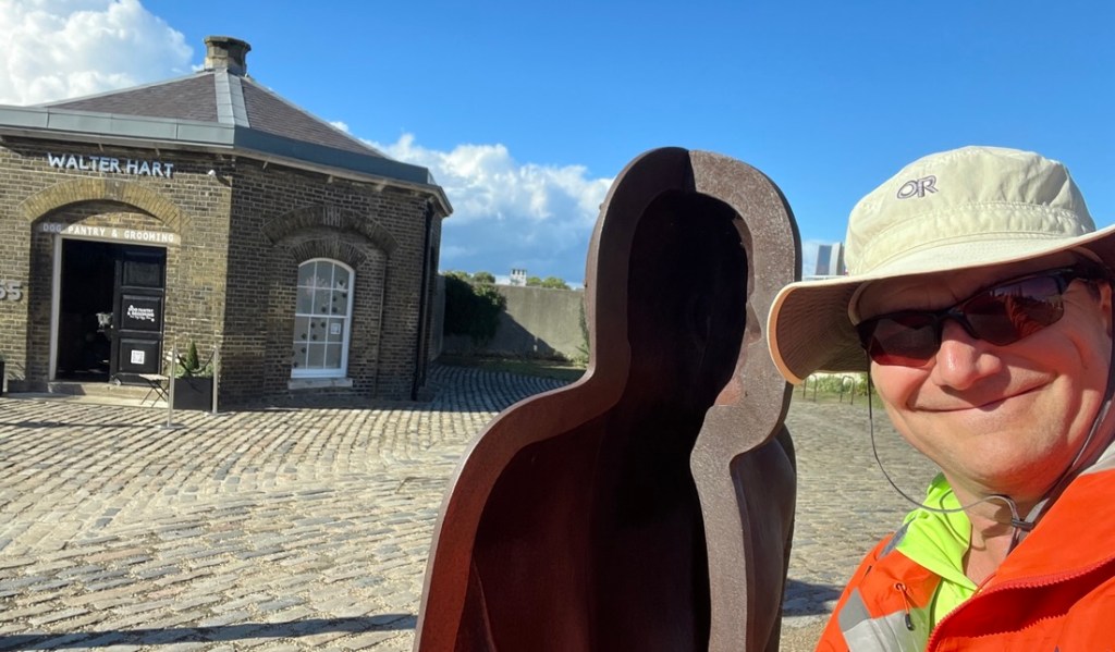
We were hungry and tired in Greenwich, which made it the perfect time to introduce another British institution to the Tonderas – a Wetherspoons, and as a bonus, it was curry Thursday. Refreshed, we continued our journey east, passing through historic Greenwich before continuing down the river.
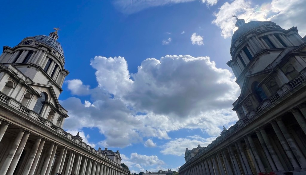
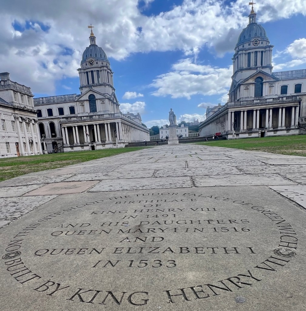
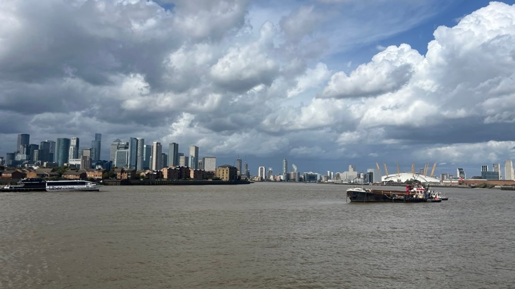
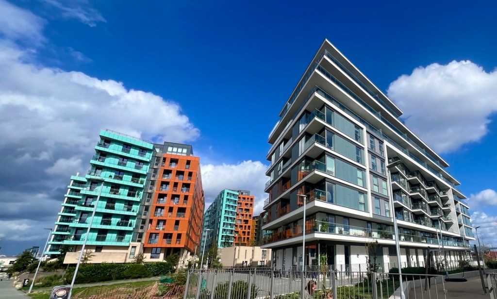
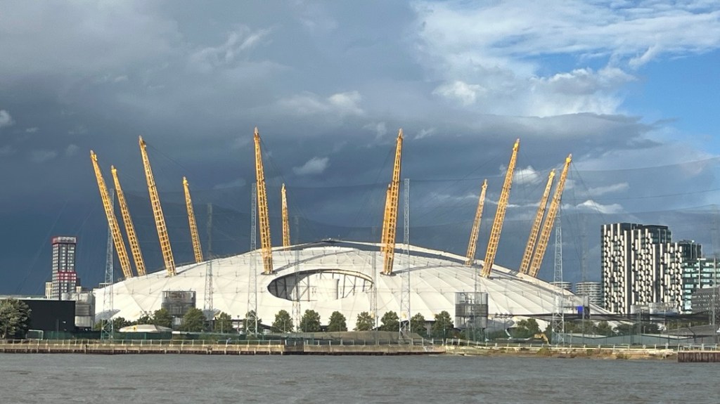
Parts of the Royal Naval College are now leased to various educational institutions.The bar in the top of the Royal Observatory marks the Prime Meridian, the “0” latitude.There used to be a royal palace on this site where Henry VIII was born in 1491 and two of his daughters were born, including Queen Mary and Queen Elizabeth I. It has also been the site of a naval hospital.This street behind a pub had plenty of nautical decor. Our first view of the O2 Arena, across this part of the river from Canary Wharf.More fancy flats with fantastic views across the river.A wheelie bin had gone for a swim!We recognized the names of several banks on the skyscrapers. However, the weather was looking ominous as we saw storm clouds approach from up river.
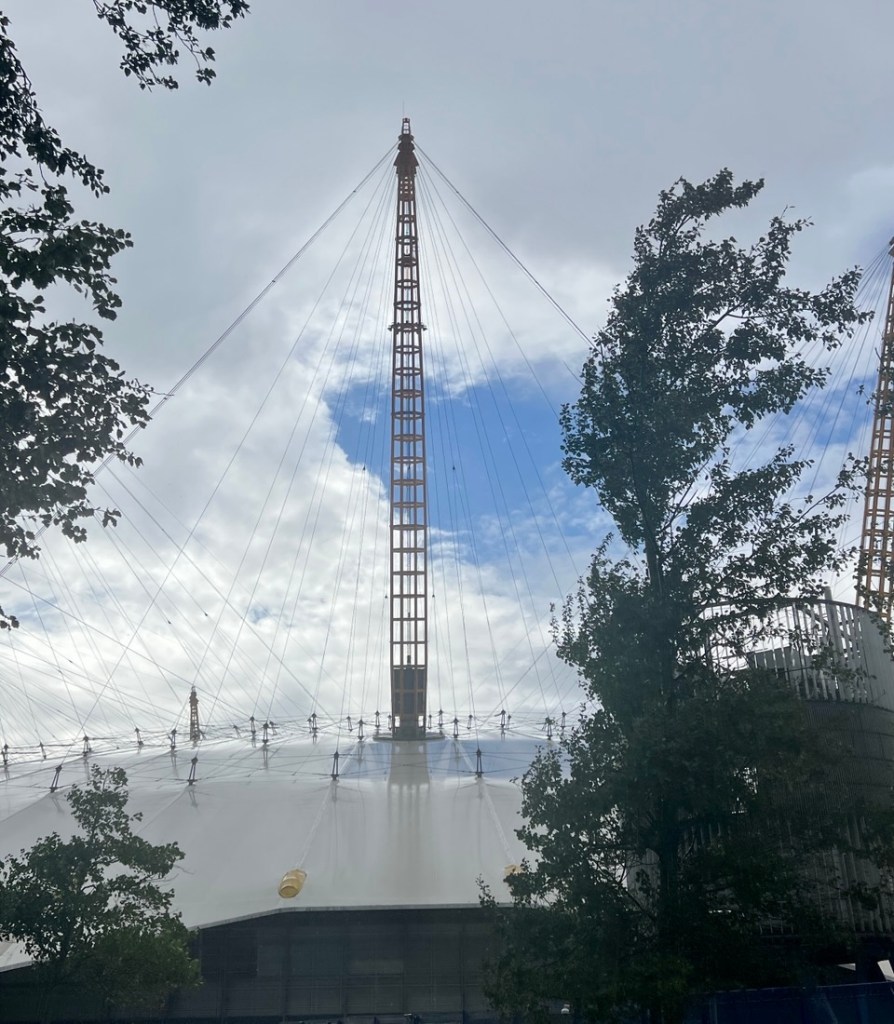
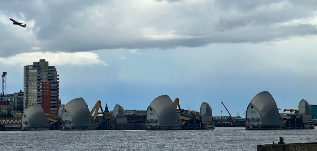
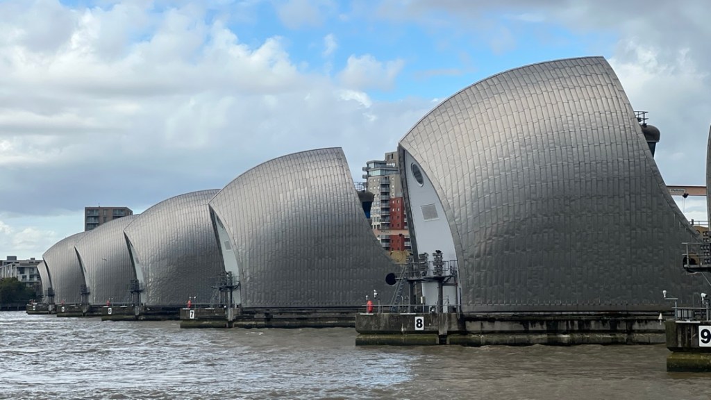
As we rounded the tip of the Greenwich peninsula next to the O2 Arena, the heavy rain and strong winds started. Luckily, we were right next to the O2’s Intercontinental Hotel and conference centre and there was a route off the path to its welcome shelter. We went into a door for a Gartner CFO conference, and were greeted by, “do you have a lanyard?” Looking like drowned rats, we were directed to the hotel’s concierge who helped get a taxi. Janet, Keesha, and Eric were cold and worried about getting colder, but Peter really wanted to see the Thames Barrier. Fortunately, the worst of the storm, including lightning, passed while we were under cover, and Peter then headed off eastward.
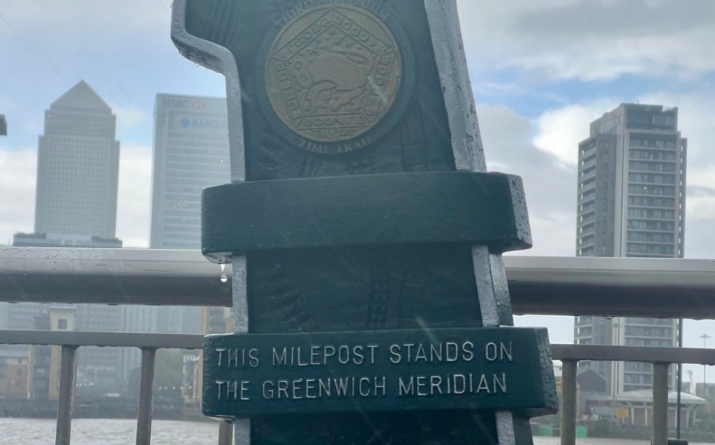
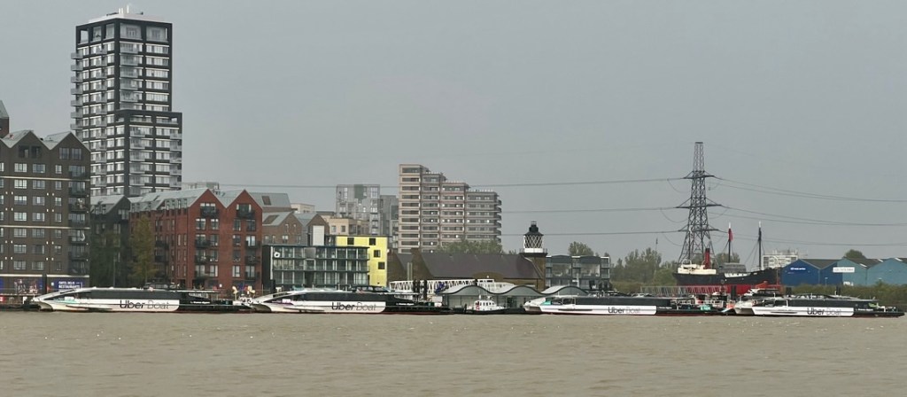
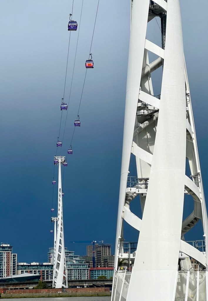
Welcome shelter from the storm.On the heavy rain, I passed this marker of the prime meridian.The Uber boats were in a row!These gondolas over the river were stationary because of the storm. I did not want to ride in one, and could not imagine what it would be like being stationary for so long. The O2.
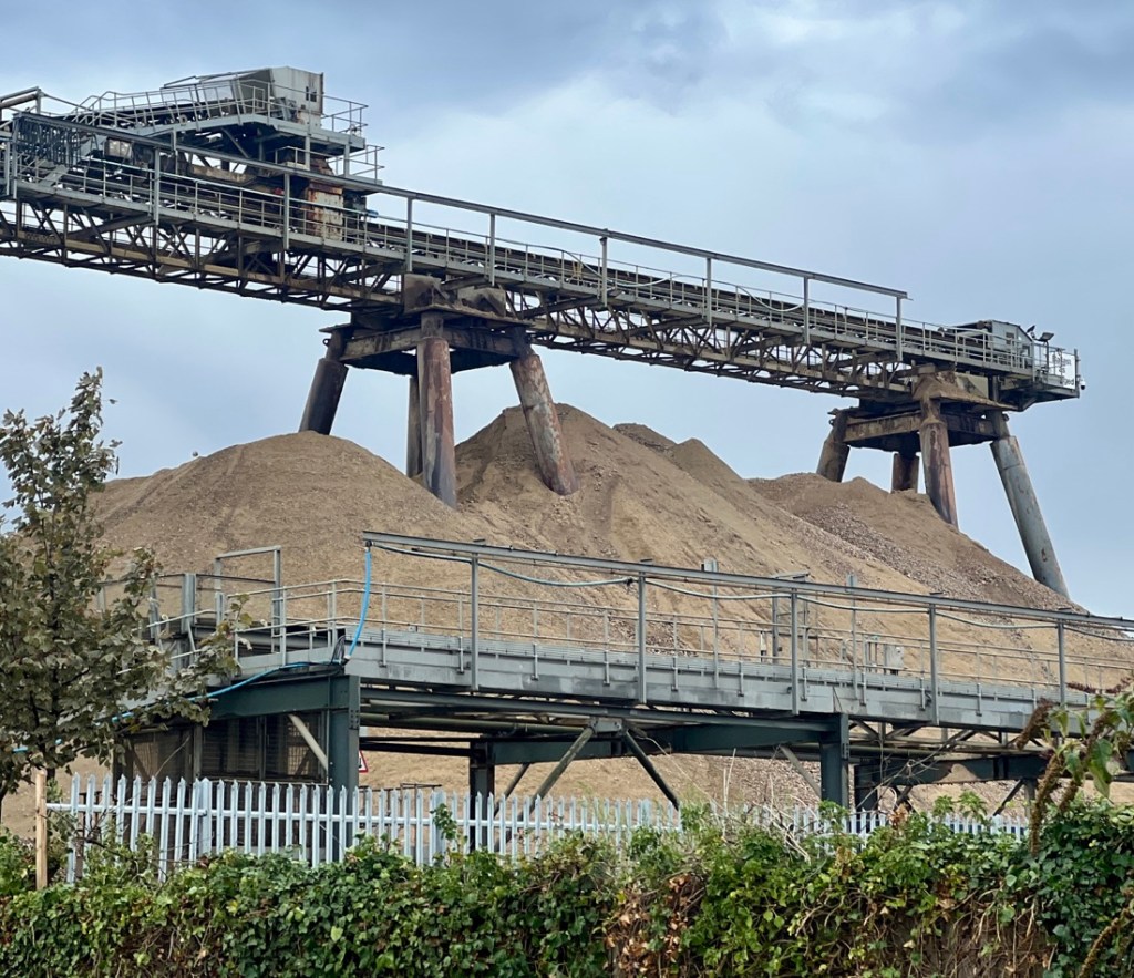
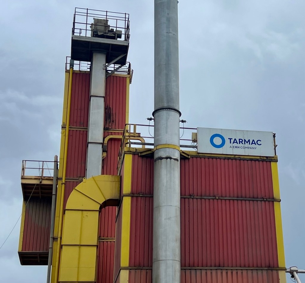
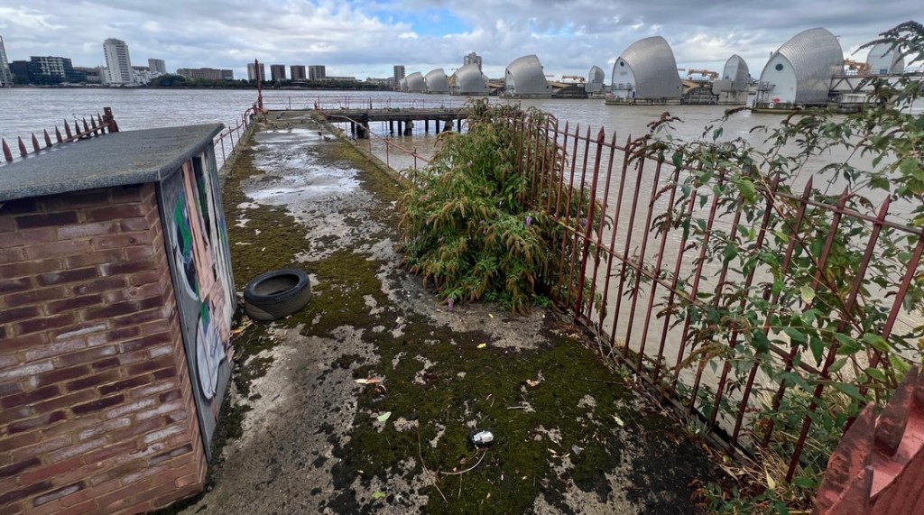
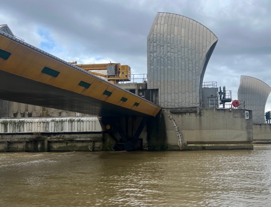
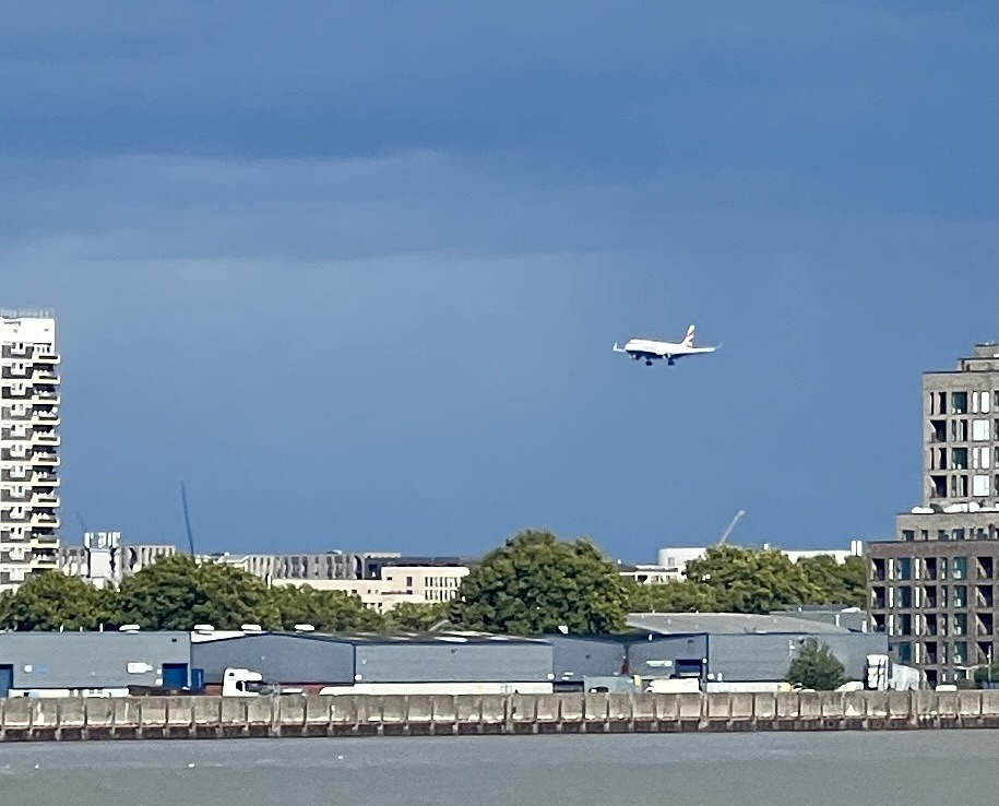
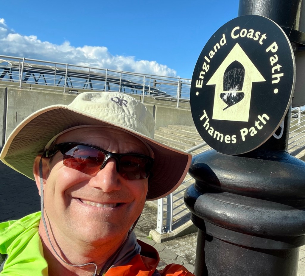
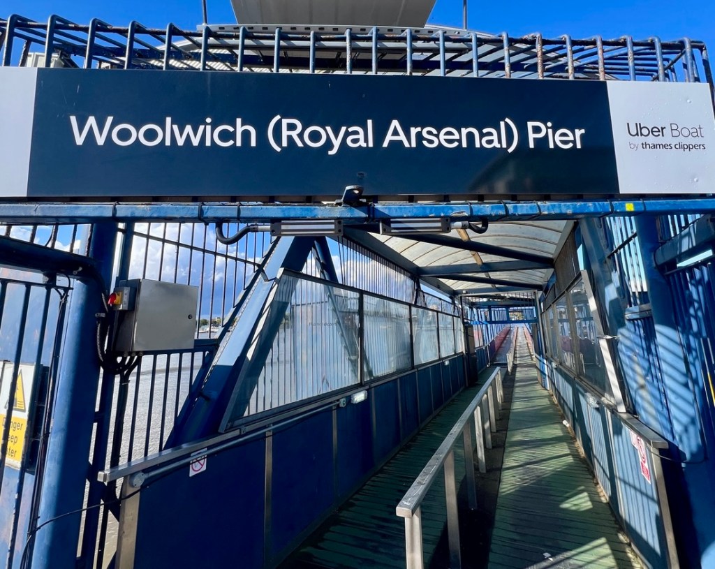
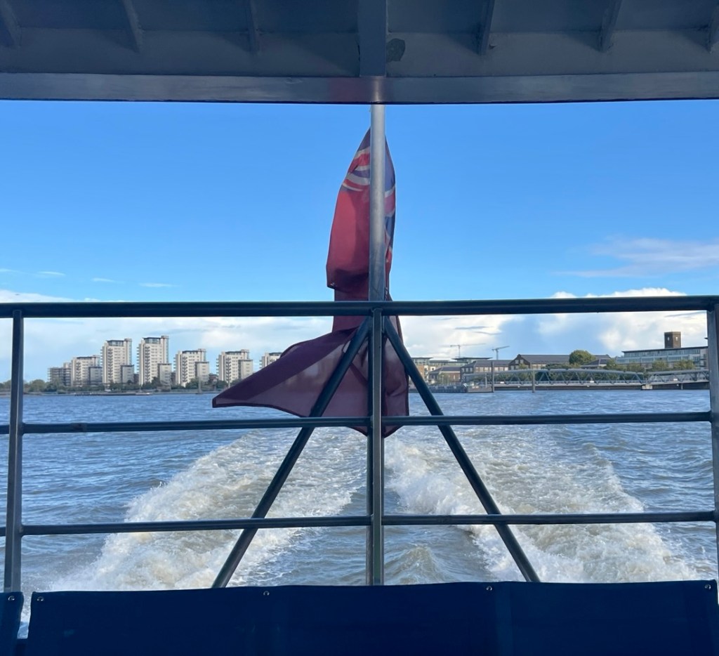
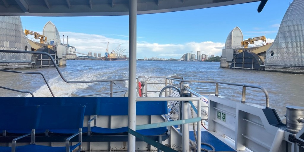
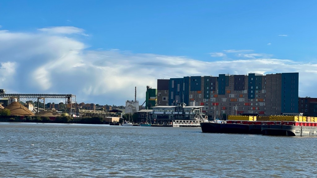
Ever since I saw this Bond film, I wanted to visit the O2 arena, which was built for a millennial exhibition in 1999.The sky was very dark over the gondola.More fancy flats and some radar! I’m not sure I’d like that outside my bedroom window.This pier served a Cemex cement plant.Much of this area was quite run down, like this Thames Path information board which was unreadable.Much of the river frontage was aggregate plants. This closed pub had run out of hope.I could smell the bitumen from this Tarmac plant.The Thames Barrier was cool, made cooler by watching planes take off from London City Airport.This abandoned dock by the Thames Barrier had trees growing out of it.The upstream side of the Thames Barrier.A barrier in a raised position. A derelict warehouse.Some billboards celebrated this area’s history, which including making Siemen’s batteries.Another plane landing at City Airport.The river kept getting wider but the path remained wide, flat, and clear.The view back to Canary Wharf.Yay! I arrived at Woolwich, the end of the Thames Path. I wasn’t sure what these sculptures were.There was no sign declaring this as the end of the path. An extension to the coast has been made, but that would have to wait for another day.As the path ended next to this pier, I could conveniently take a boat back to Greenwich where our hotel was.As I was downstream of the barrier, boats don’t run this far when the barrier is closed. It had been closed earlier this week during the very high tides, which we experienced with wet tow paths.This felt more like a working river.My Uber boat arrived.The boat whizzed along. It was impressive how quickly it accelerated and stopped. New fancy flats next to a car ferry that crossed the Thames.Passing through the Thames Barrier.An aggregate plant and a rubbish barge alongside some flats. Interesting blending.A great view of the O2 from the river.
I got back to Greenwich and soon met everyone at The Mitre pub. We ate at the pub and slept very well in preparation for two days of London sightseeing, which might be harder work than walking the Thames Path!
"Cajunlimeys" combines Lousiana (Janet) and England (Peter). For "limeys," check out scurvy in the English navy.
We love adventures and use blogging to write a photo diary to preserve our memories. Some crazy friends enjoy following us and my notes might help others plan.
View more posts