

Yay! This was the first extended trip in our camper and it exceeded our high expectations. The idea grew from the thought of visiting Jett during his internship in Nashville when Bailey was visiting. We wanted to slow down and driving the 444-mile parkway with a 50 mph speed limit was perfect, complementing a fine variety of campgrounds and historic sites.
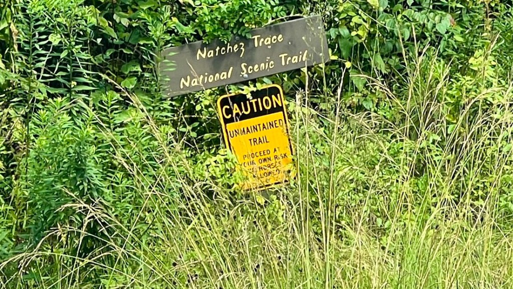
The Natchez Trace Parkway is a U.S. National Park that follows a trail that first became well worn in the late 1700s. As the United States spread westward, farmers in the Ohio Valley River built rafts and floated their goods down the Mississippi River to Natchez, a profitable location for selling their goods and the raft’s timber. The Trace became the primary route back to Nashville. It passed near various Native American communities and was later used to forcibly march slaves and carry soldiers in the civil war. The Parkway was completed in 2005 with several impressive bridges and it remains a greenway full of diverse life. We spent four days driving The Trace northbound, staying at beautiful campgrounds that helped us establish our camping routines.
Day 0
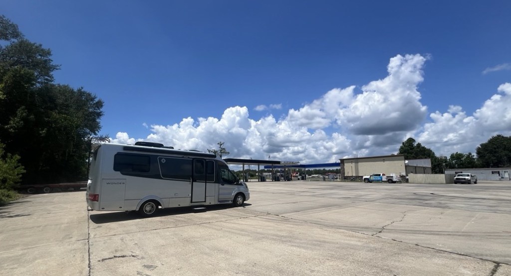
Having helped our kids get themselves sorted for their summer excursions, we drove to Vidalia, on the Louisiana side of the Mississippi opposite Natchez. We had booked what turned out to be a perfect campsite next to the river in the shadow of the large bridge over the river. The 320-mile drive was smooth and uneventful. We found driving the motorhome was still tiring, even though it’s small and we shared the driving.


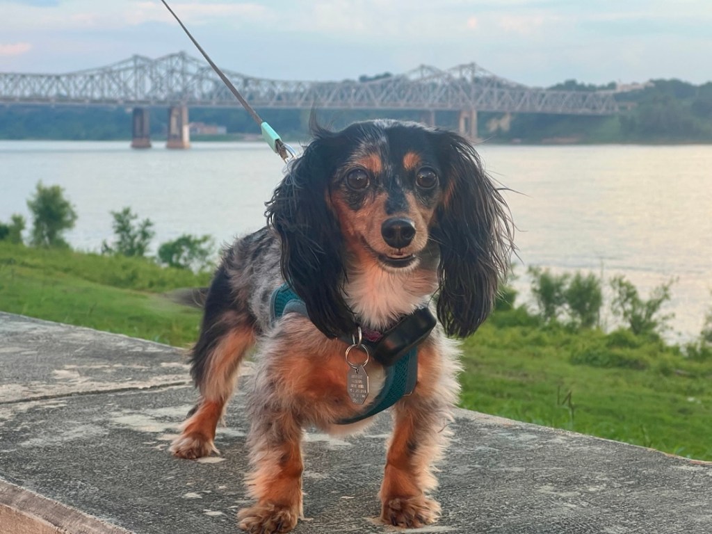

Even though this bridge is not on the Natchez Trace Parkway, it symbolized the start of our journey – along the Parkway and beyond!


Day 1
The Parkway’s number of sights along its 440 miles appeared overwhelming at first. After we divided it into four, 100ish mile days, Janet worked out a plan, largely based off this plan she found on Pinterest. I also found this write up from someone who owned a very similar van to ours. I’d strongly recommend downloading the National Park app and its interactive map of The Trace before starting. It ties everything to mile markers (mm) from the southern terminus and there are plenty of cellphone dead spots along the way. The National Parks also have a detailed paper map.
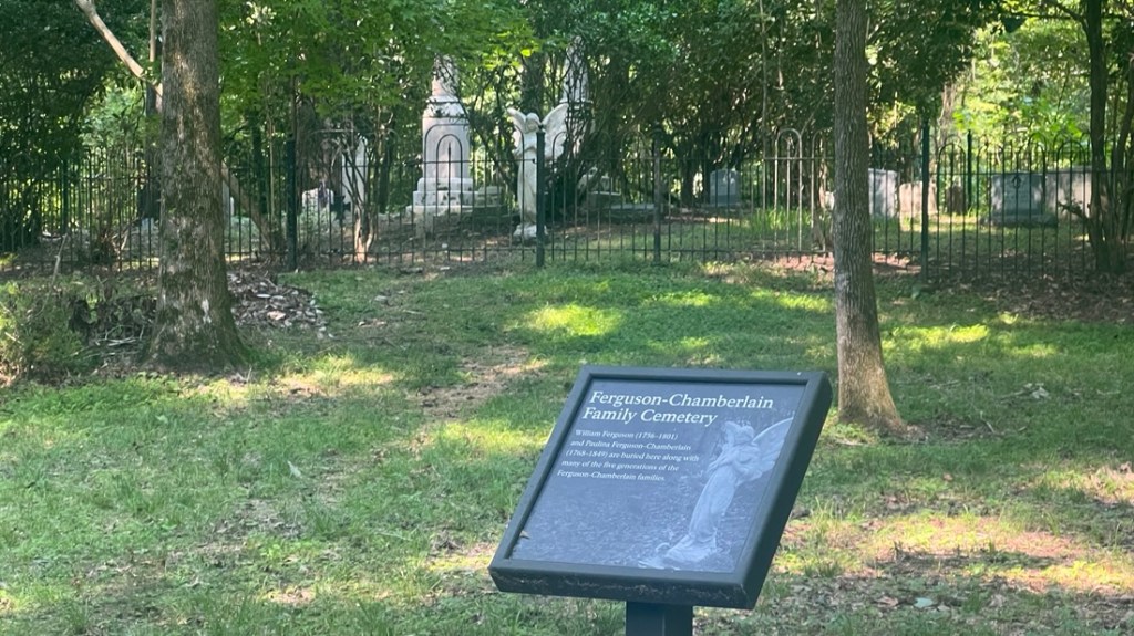
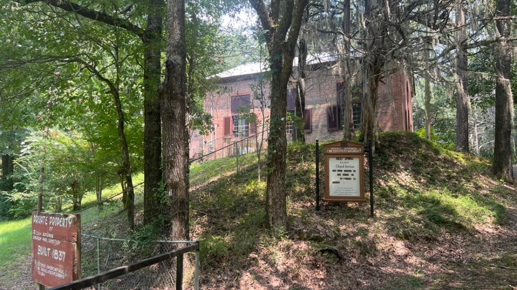
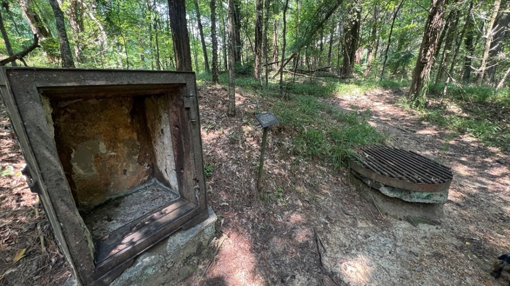
There were plenty of interesting stops over the first hundred miles which introduced us to the region’s historical diversity. Janet’s research had identified scenic detours, and part of the joy of the van was that we could be flexible and change our plan on the fly.
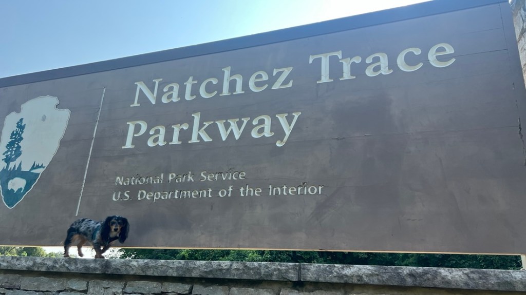
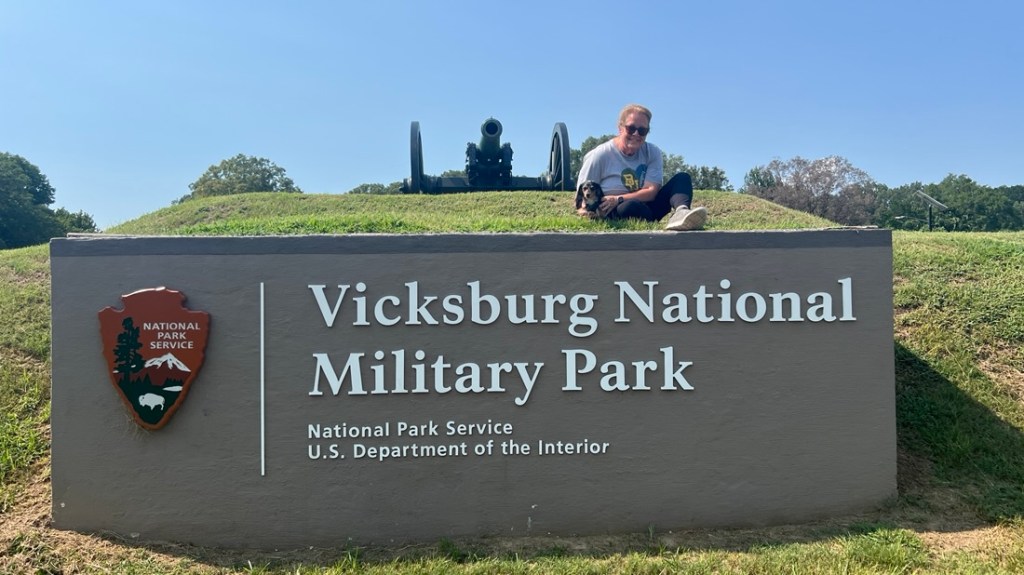
Saydee has replaced our kids in our National Park sign photos.

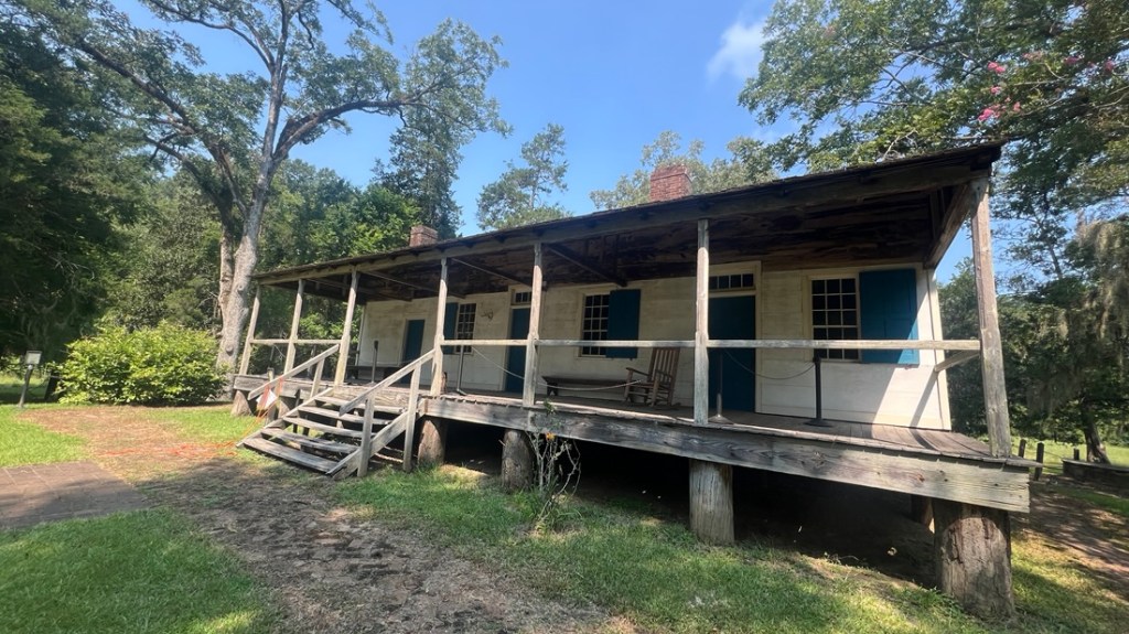
A very friendly volunteer at the information center explained the background to the inn and the Trace.
Built in 1780 as a family farm, it evolved into an inn as the Trace travelers headed north and needed a place to stay, typically after about a day’s walk of fifteen miles. Most would pay 1c to sleep on the porch. Groups provided security.


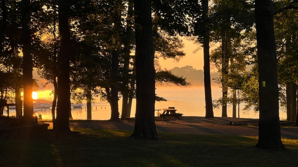
We did not leave the park until about 5pm which made it a very long day. We picked up a yummy takeaway dinner from Shaggy’s on the Rez before finding our reserved spot at Timberlake Campground. This was a large campground and we got one of the few waterfront sites, though were surrounded by residents, with our neighbor having lived there for eleven years. We enjoyed a beautiful, peaceful evening watching the sun set, though were slightly perturbed when a twelve-foot gator started cruising offshore!


Day 2
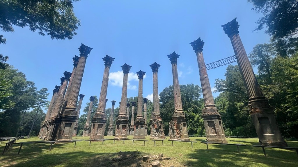
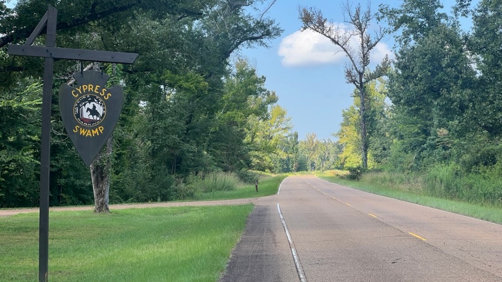
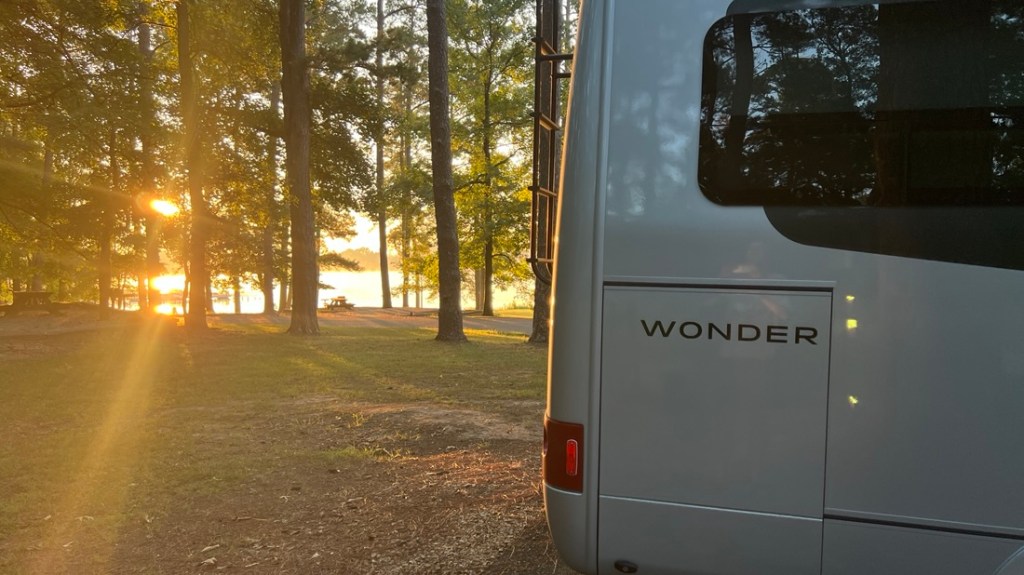
After a great night’s sleep, it was so easy to pack up and hit the road. We only had three sites on the day’s plan so we took it easy. We enjoyed a walk around Cypress Swamp (mm122) and ate a fine lunch a French Camp (mm180.7) where we could sit outside in the shade with Saydee. After following the detour that skipped about twenty miles of the parkway due to construction, we visited Witch Dance at mm233.2, a complete non-event, with an information board describing what supposedly used to happen. Arriving early at the Davis Lake Campground, after leaving the parkway at mm243.1, gave us more time to cook and fly the drone. There was just enough phone signal to stream Netflix that evening. It was extra peaceful as only three of the twenty campsites were occupied.


Fun shots of Davis Lake Campground and our van with my drone:


We enjoyed a beautiful sunrise the following morning:
Day 3
Tupelo was close by, so we had to check out Elvis’s birthplace, leaving the parkway at mm259.7. We were amazed at how small his parents’ house was, and we learned that he was a twin but his brother was stillborn.

At mm266 is the main Natchez Trace Parkway Visitor Center. It presented lots of great information about the history of the area and the making of the parkway – which was only finished in 2005.

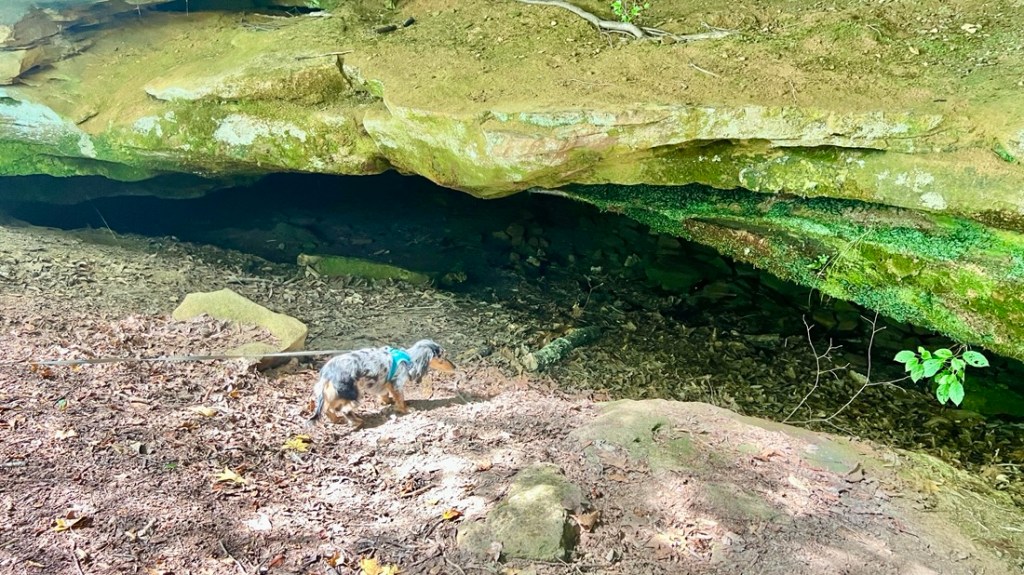
Our next stop was Cave Spring at mm308. We could hear the dripping water.
At mm320.3, we headed off-trail to Tuscumbia to visit Helen Keller’s birthplace. Helen was left deaf and blind by a childhood illness but overcame her disability with the help of Anne Sullivan, her teacher who became a lifelong companion. Born into a wealthy family, Helen became a champion for many social causes in addition to the deaf and blind.

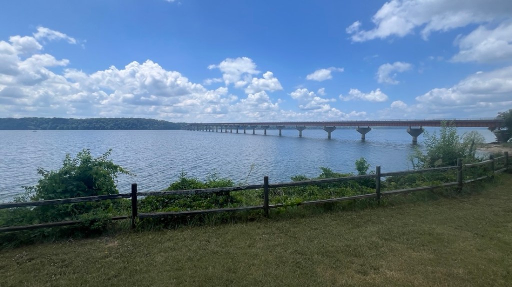
There were a few impressive bridges on the parkway, and we crossed the longest one next.
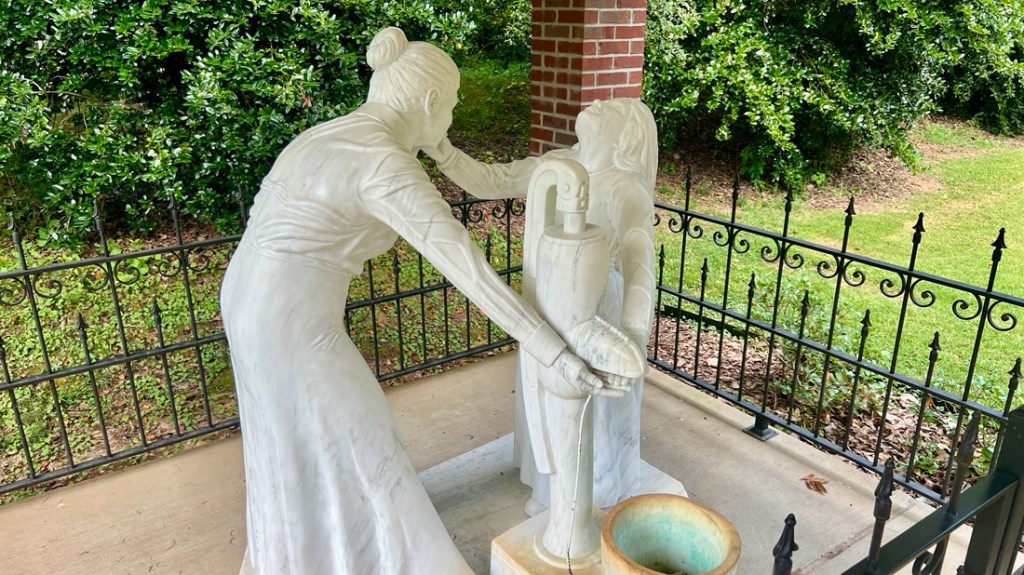
Close to mm338 is the Wichahpi Commemorative Stone Wall. It honors the owner’s great-great-grandmother, who was part of the American Indian removal to Oklahoma. The Trail of Tears passes close by.

That night, we had reserved a site at Thousand Trails Natchez Trace at mm380.5. We received a free year’s membership and we wanted to try a campground, which was free with the membership. The site was massive with over 500 sites, many of which were occupied by permanent residents. Our allocated site was small and very close to others. We immediately agreed that this was not our vibe. A look at the map quickly revealed a free campground nearby, on the Trace, so we headed there. Before leaving, we bought an expensive pint of milk, which turned out to be sour… We won’t be returning!

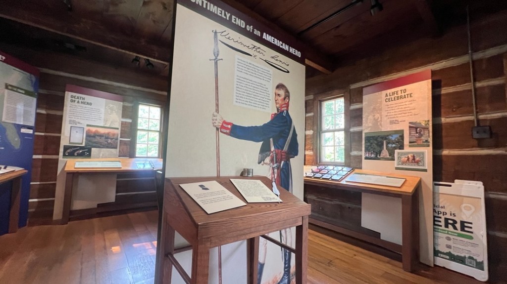
We drove a short distance to the National Park’s Meriwether Lewis campground at mm385.9. The sites were free but “dry” meaning no electricity or water. I had gained confidence that our batteries could keep the AC running all night (which they did). We were already certain that our water and waste tanks would be fine. Our loop of ten well-spaced-out sites had only two other campers, so we enjoyed another fine peaceful night. Well, mostly peaceful, as we learned that acorns make a very loud noise when they land on our van’s roof in the middle of the night!

We checked out a small visitor’s center which explained that Meriwether Lewis, of Lewis and Clark fame, died nearby.
Day 4
After a great night’s sleep, we were so happy we’d moved and that we’d dry camped successfully. Our day’s first stop was Fall Hollow Trail and waterfall at mm391.

Next was Jackson Falls at mm404, which is impressive after rains but was still cool with a trickle.

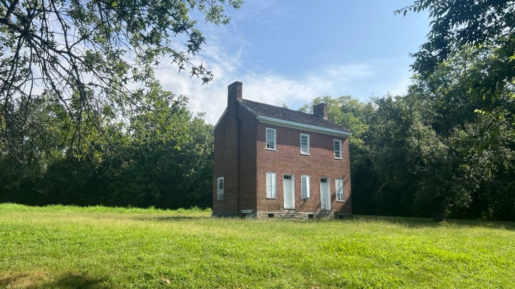
The Gordon House was just a few miles further at mm407. It was built in the early 1800s by John Gordon who operated a ferry over the adjacent Duck River.
Our final sight was the Birdsong Hollow Bridge at mm438, shortly before the parkway’s northern terminus. The 1,572 ft bridge crosses 155 ft above the road below. It was finished in 1994 and was the first of its kind in the US.

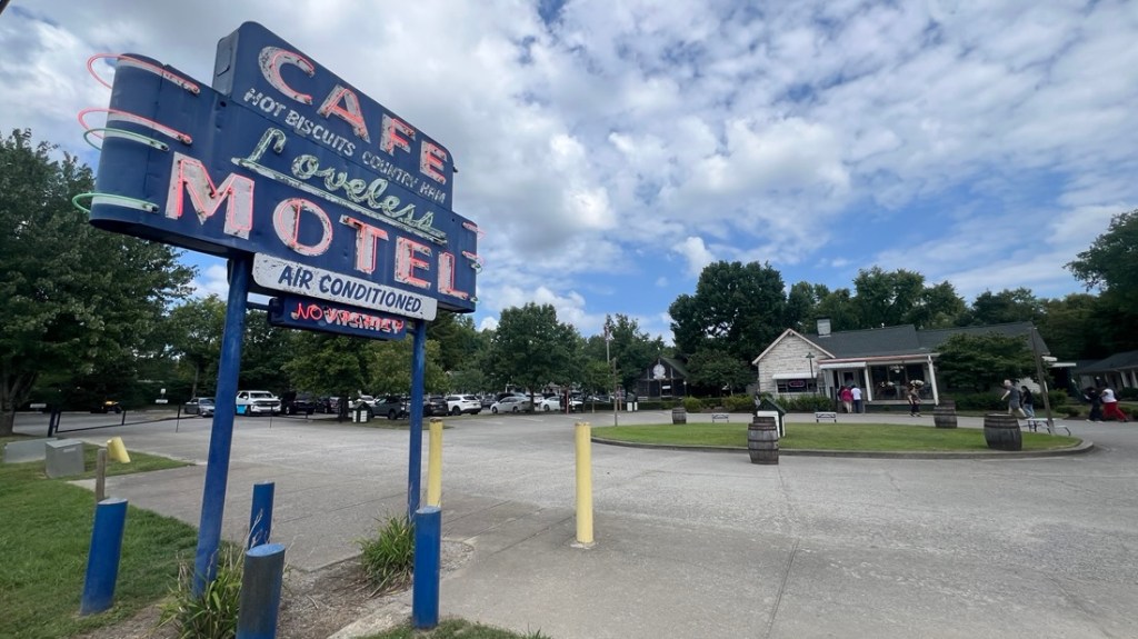
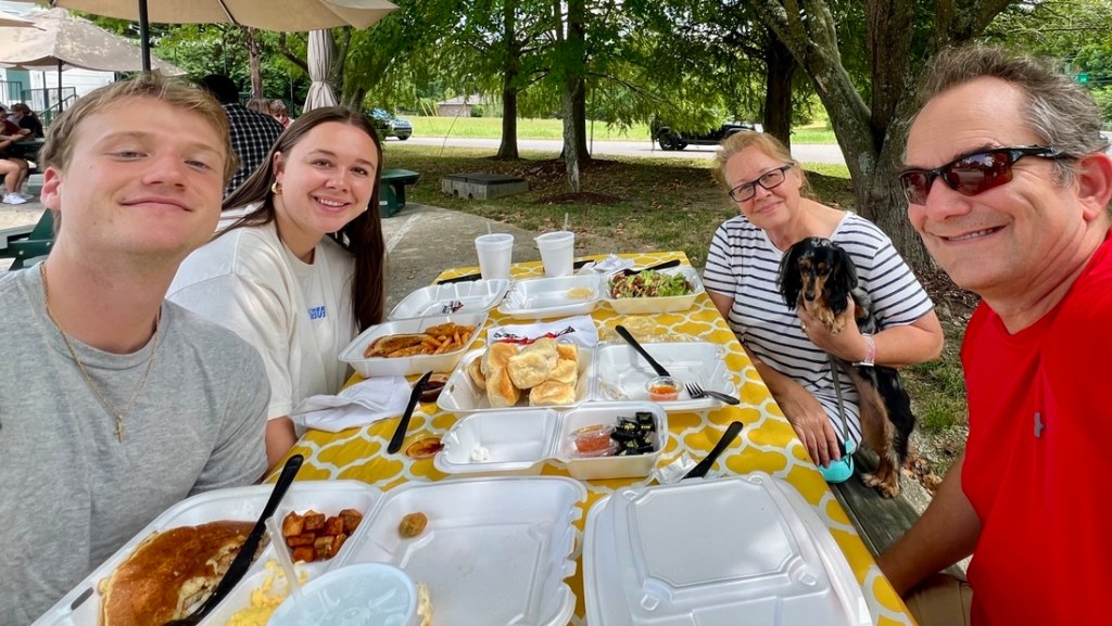
Close to the end of the parkway was the Loveless Cafe. We met Jett and Bailey for lunch, and I was pleased to hear that it was on Jett’s “must see in Nashville” list. We enjoyed some traditional southern cooking and a generous supply of biscuits!
We had reached the end of our journey along the Natchez Trace Parkway. We had enjoyed the great variety of history, scenery, and camping options, even though we’d missed several other sights. The slower pace was great, but we still felt we had squeezed a lot into each day. Most importantly, Saydee had enjoyed herself!
Our second reason to come to Tennessee was to check out some towns as potentials for us to move to. We drove around Sewanee, Signal Mountain, Dunlap, Loudon, Lenoir, Tellico Village, Maryville, Knoxville, Norris., and Franklin NC. Maryville was our favorite but we realized we need to check out southwestern Virginia. Driving the Blue Ridge Parkway will be perfect for further exploration! We divided the drive back to Texas over three days, leaving time to relax between the driving.
As this trip ended , we were already looking forward to the next adventure in our van, even though we don’t know where yet! We have loved having everything with us in a very easy-to-drive vehicle. We can pack up and leave in minutes, or stop and go to bed. The beds are comfortable, the AC works well, and the fridge is cold. More exploring awaits!

