

That was a lot of work. That’s what Vance said about getting water. We also hiked 43 miles and climbed 10,000 ft over four days. This trek was epic.
YouTube Video
This 83 minute video on YouTube presents the trek “in real time,” capturing our emotions and detailing the trek including gathering water in the desert.
Below is a description and pictures.
Quick Links
Planning and Preparation
Day 0: Houston to Chisos Mountain Lodge
Day 1: Chisos Basin to Boot Canyon 1 Campsite
Day 2: Boot Canyon 1 Campsite to the Dodson Trail
Day 3: The Dodson Trail to Blue Creek Trail
Day 4: Blue Creek Canyon to Chisos Basin
Planning and Preparation
With Samuel away in college, I’d been developing Vance as my new backpacking partner. He had backpacked a little when we led our scout troop together, but I needed him to walk many hilly miles with his pack. He learned a little when he spent three days on the thirty-mile Grand Loop on the Lone Star Hiking Trail in 2022. He learned a lot about pack weight and shoes when we hiked the hilly Eagle Rock Loop in southwest Arkansas in November 2024. My plan for this trip was similar to my first Outer Mountain Loop trek with Samuel in 2017. Ready or not, I was taking Vance to Big Bend, and he was crazy enough to agree!


Day 0: Houston to Chisos Mountain Lodge
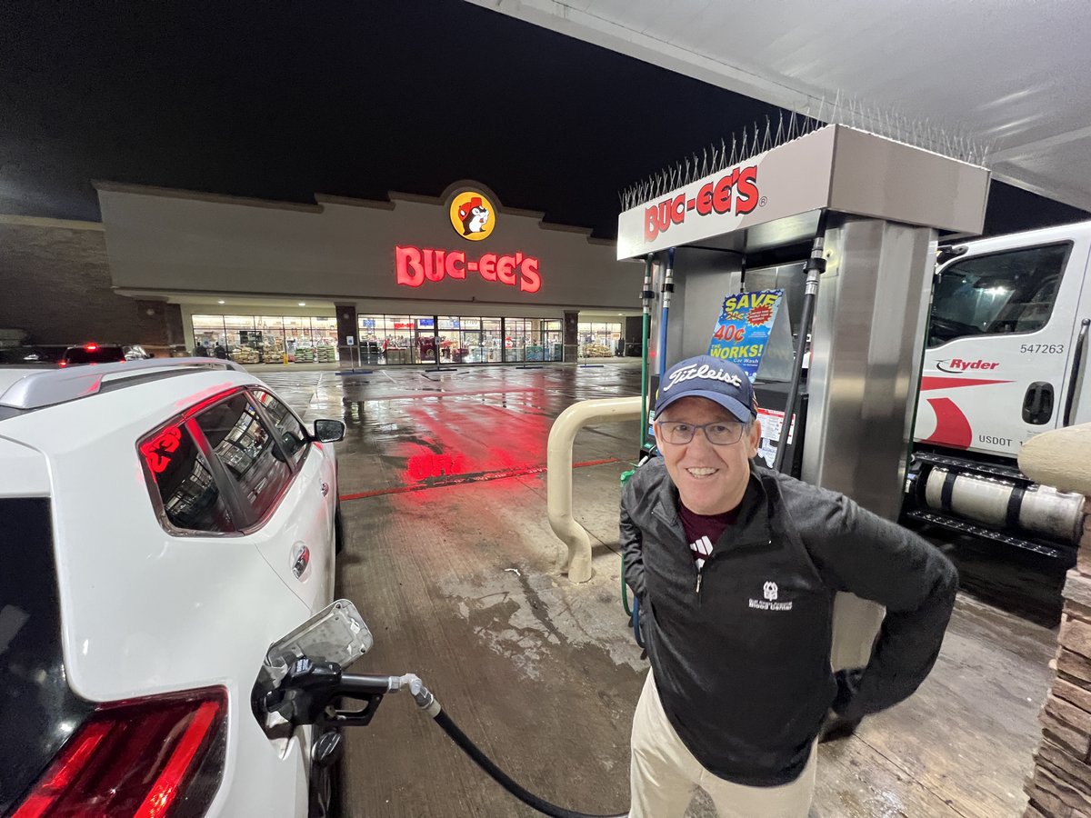
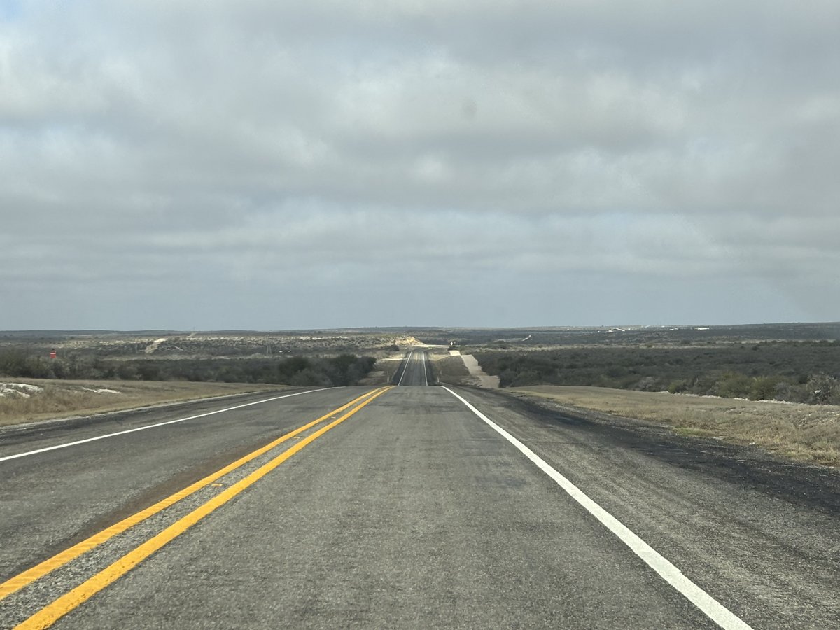
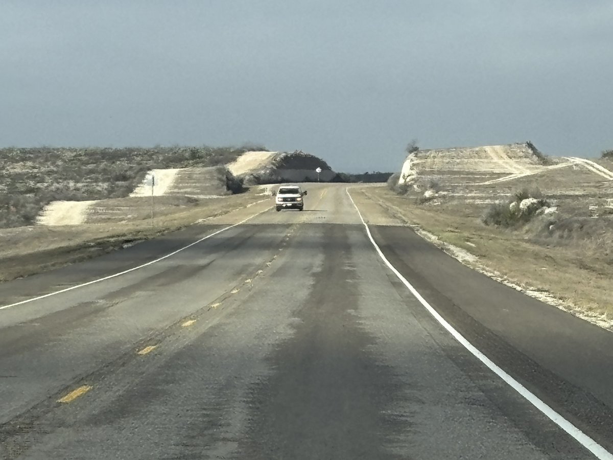
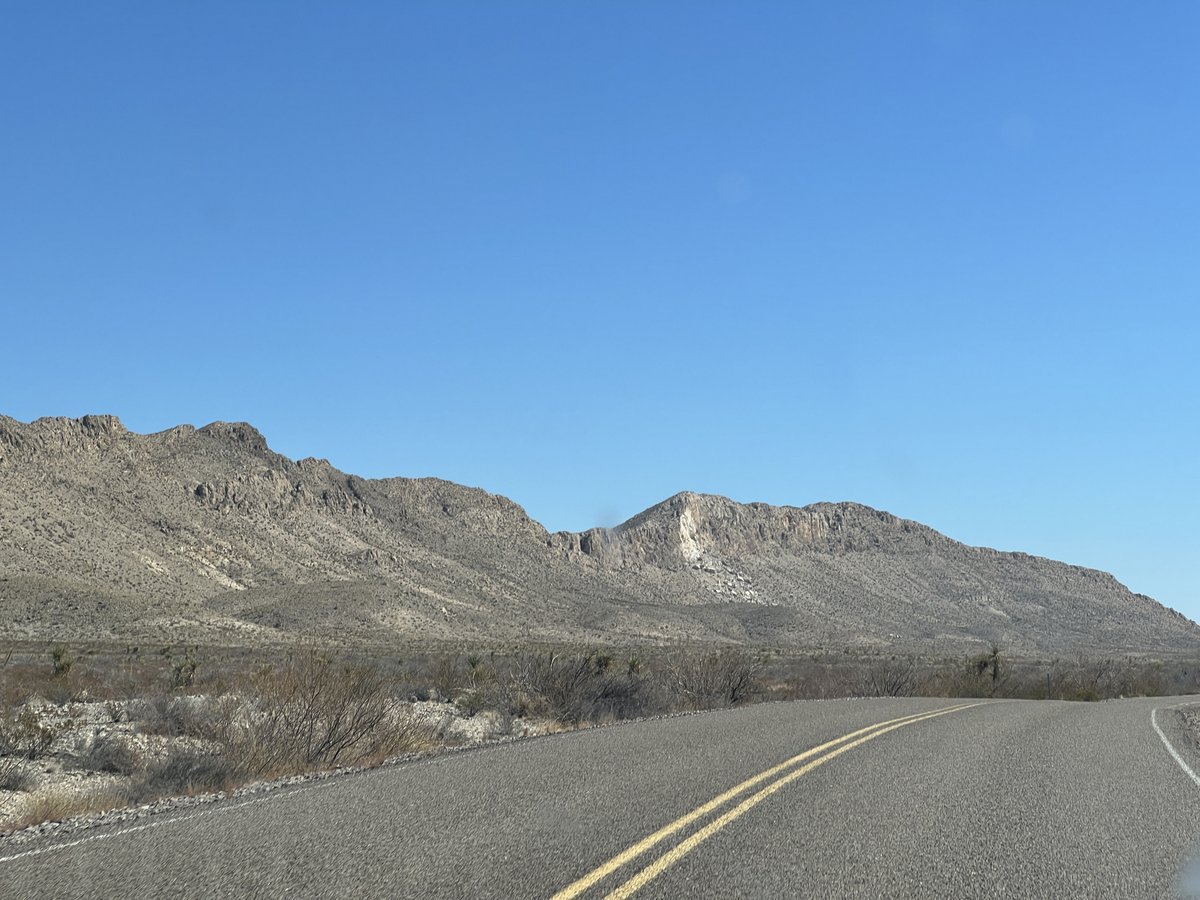
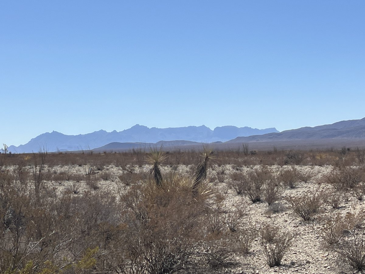
The 4am start helped make the 600 mile drive from Houston to Big Bend fly by in 10 hours. After the obligatory Bucee’s stop, the landscape beyond San Antonio became the huge expanse known as West Texas, yet we were entering the national park in the early afternoon.

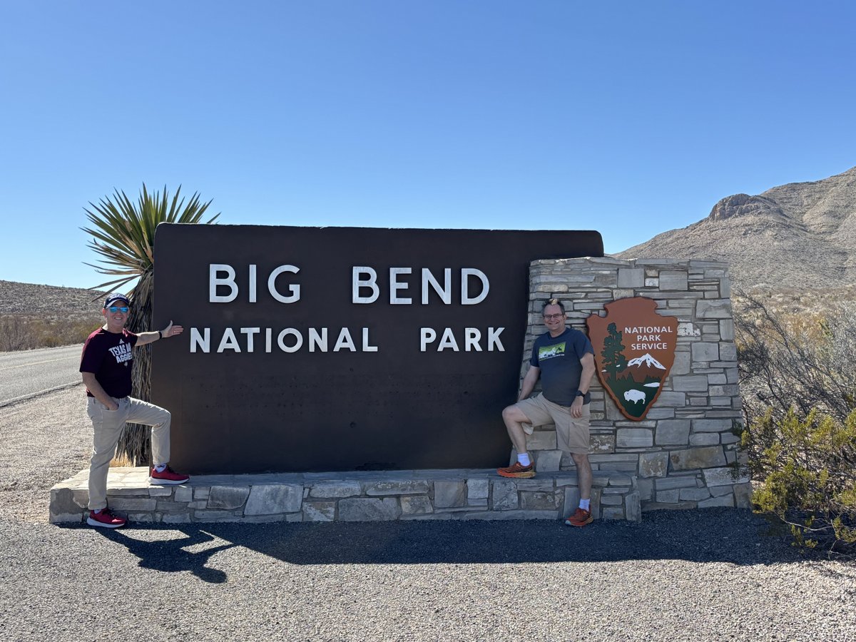
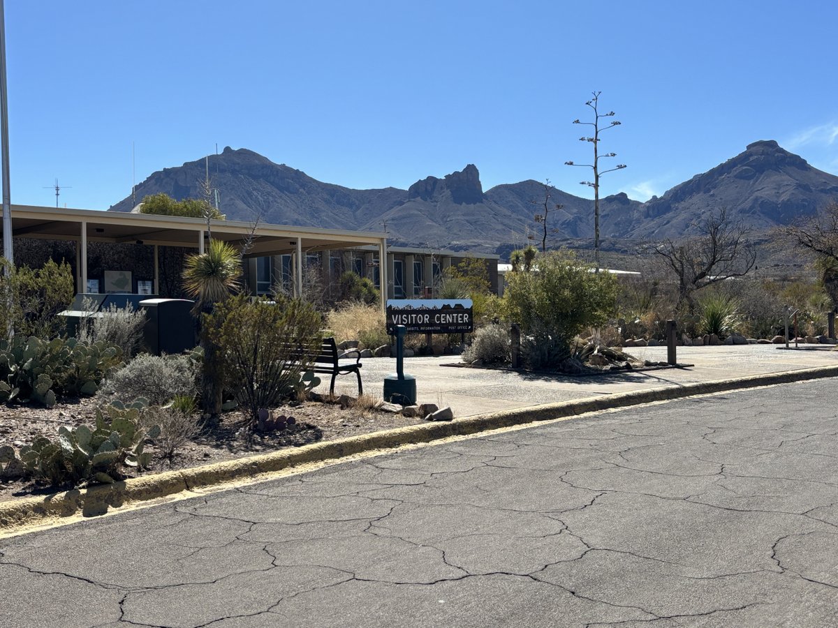
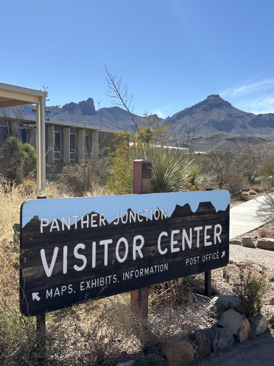
I pointed out the familiar landmarks of the lightning-struck-rock and the Chisos Mountains as we headed to Panther Junction visitor center to get our camping permits. My familiarity with the route led the ranger to give me less of a grilling – they have to mount several rescues each year for hikers on this trail which they try to avoid proactively! It was also cool to check out the park’s history, the deeds of which were handed to President Roosevelt on D-Day, 6 June 1944.

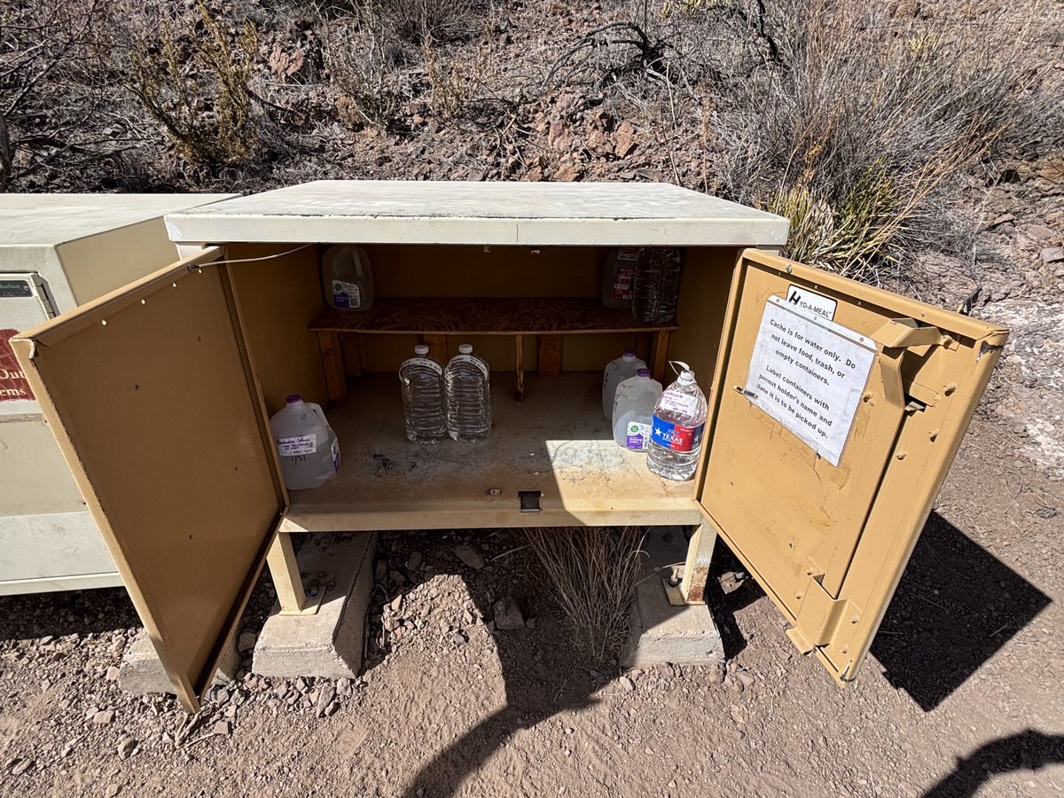
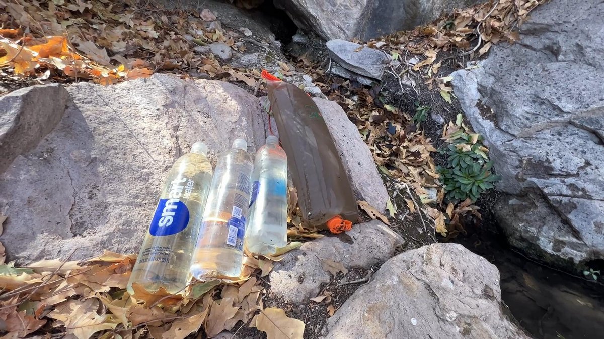
Our next stop was Homer Wilson Ranch where we “cached” a couple of gallons of water that we would pick up during the hike from this car-accessible location. Dehydration is the main cause of issues in Big Bend. We were otherwise relying on desert springs for water as carrying a gallon of water per person per day is too much weight for us! I had found the springs during my first completion of this trek with Samuel in 2017, and research indicated that they were still flowing, yet the uncertainty remains and accentuates the adventure. Warning signs introduced Vance to the additional hazards of black bears and mountain lions, but I had assured Ruth, his wife, that I would bring him home!

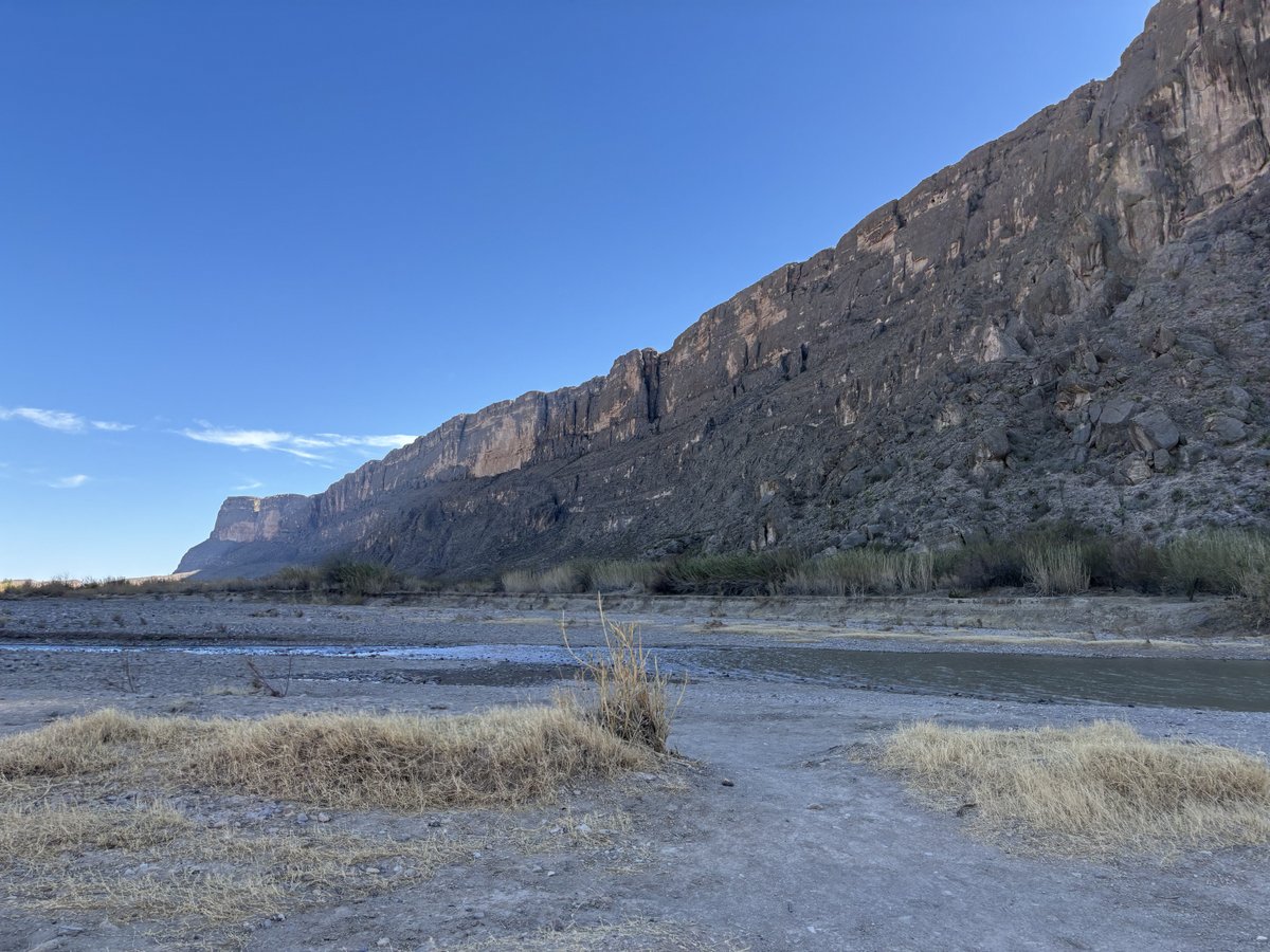
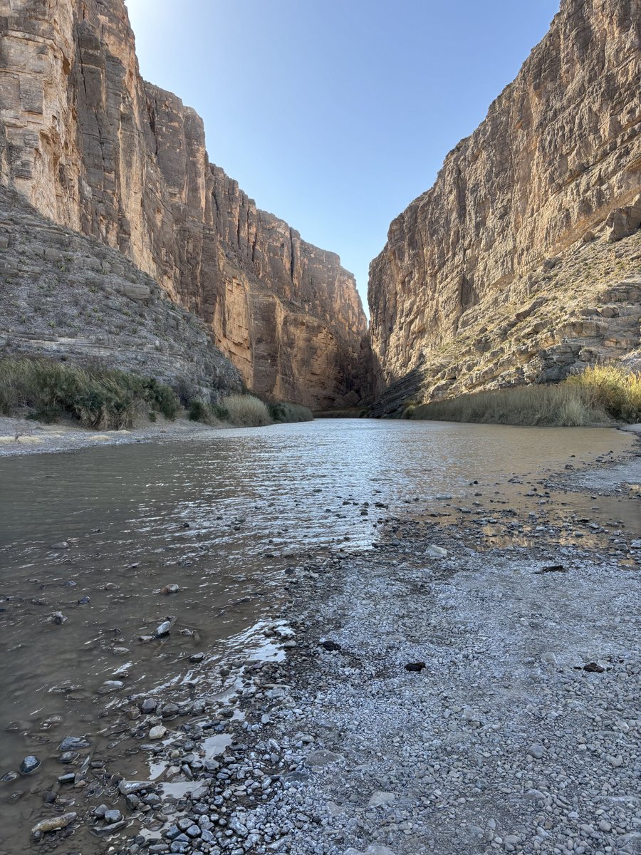
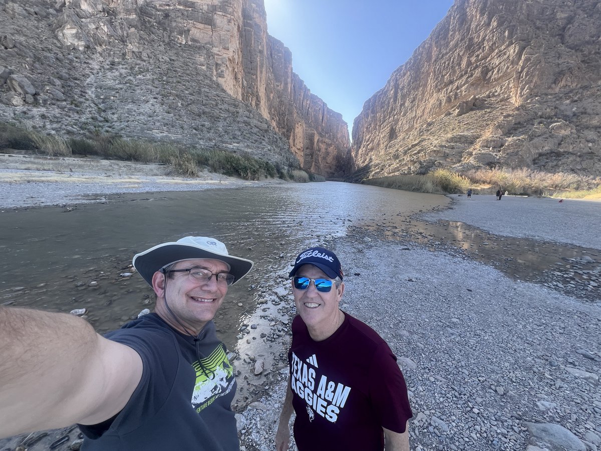
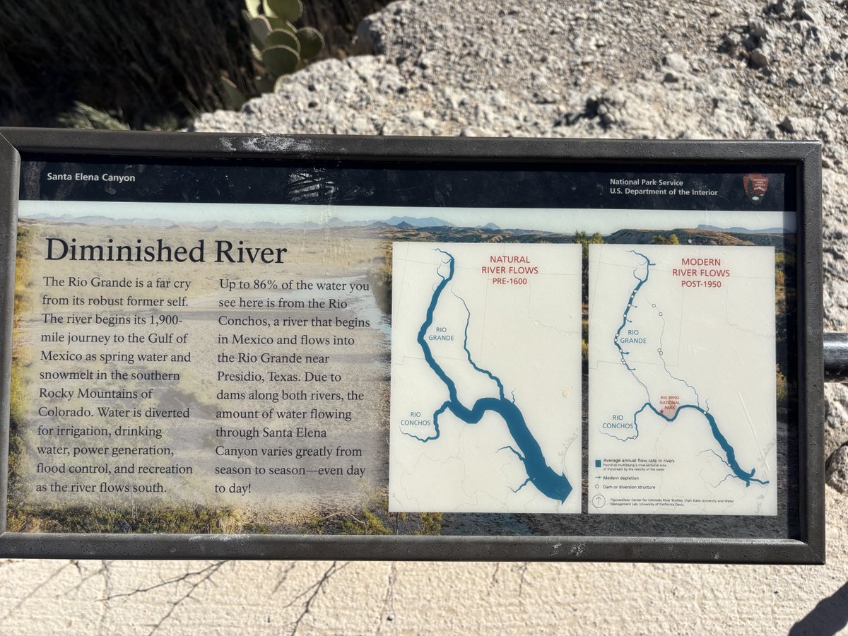
We had sufficient time to drive down to the Rio Grande, checking out the Santa Elena Canyon, and looking into Mexico.


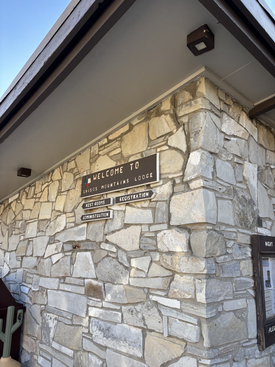
Next, we headed to Chisos Mountain Lodge for our first views within the Chisos mountains, dinner, and our cottage for the night.


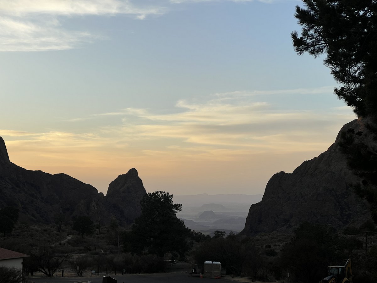


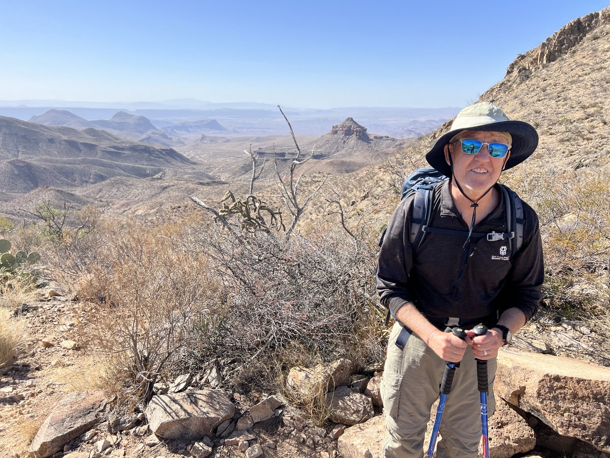
Day 1: Chisos Basin to Boot Canyon 1 Campsite
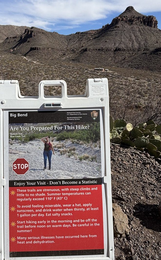
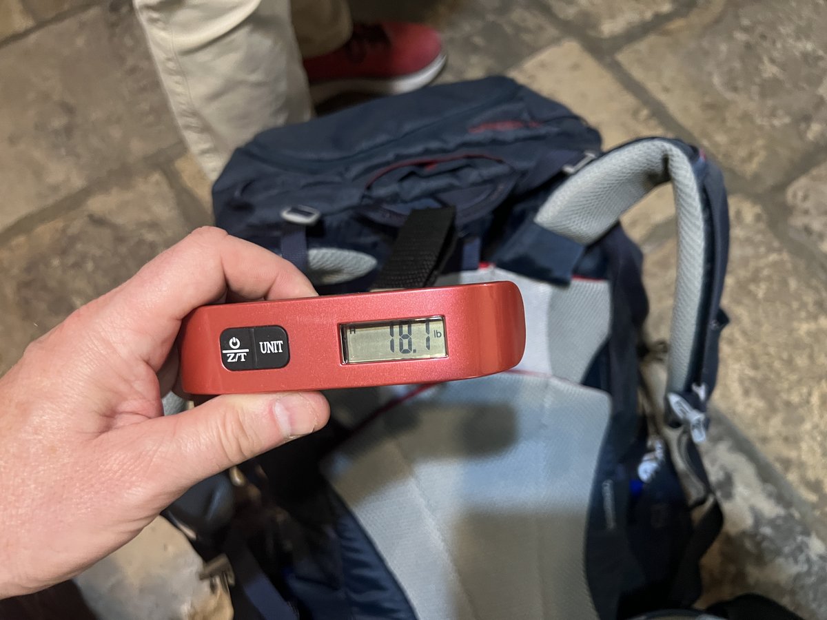
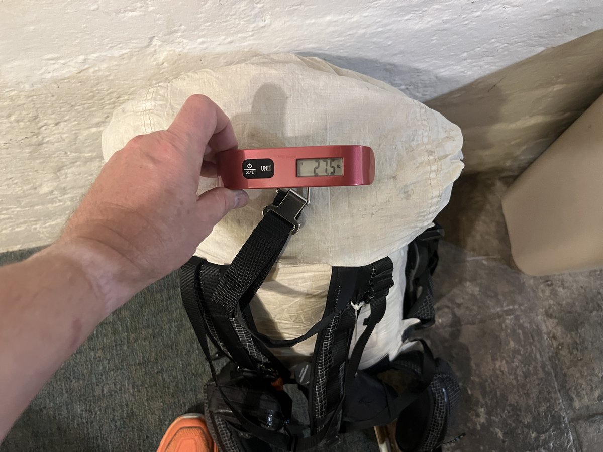
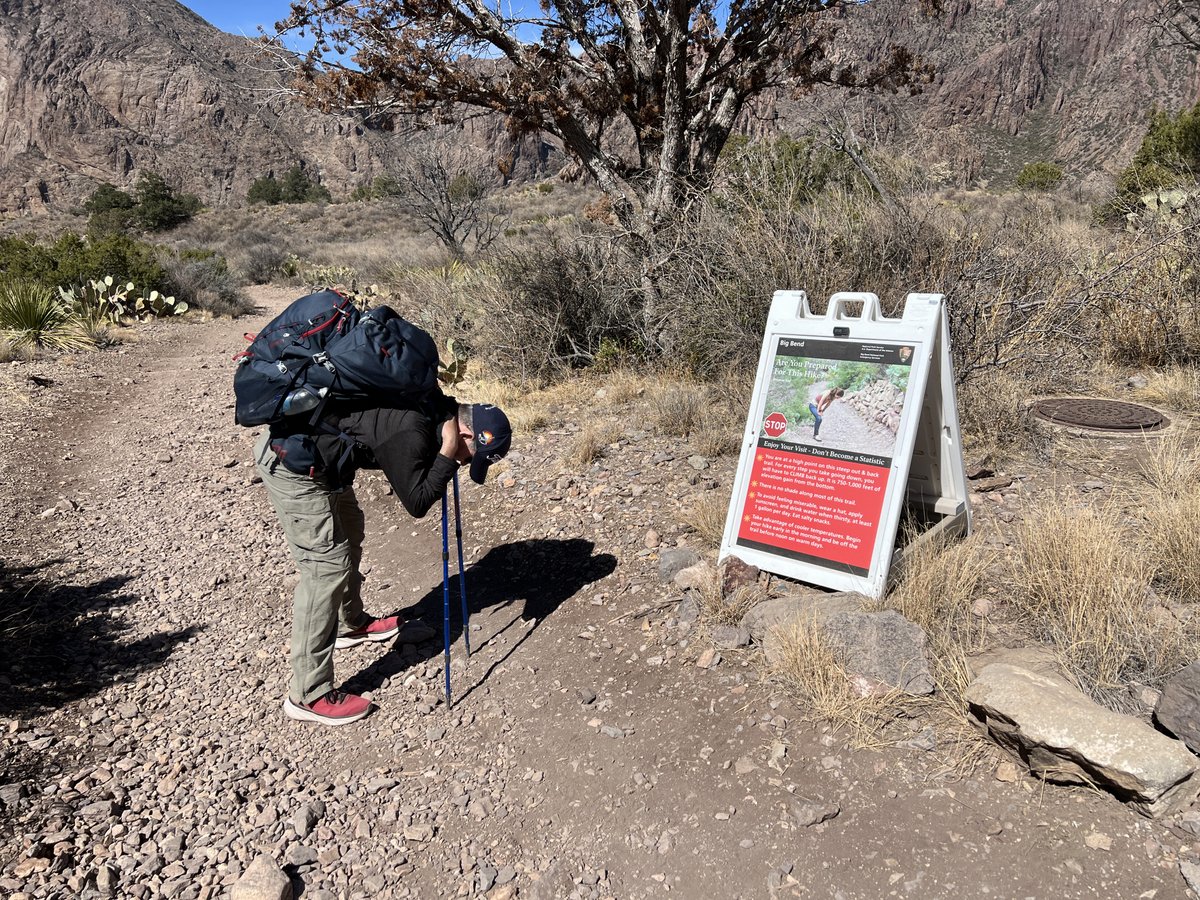
Vance had worked very hard to get his pack weight down to 18.1 lbs., including 2 liters of water. My pack weighed 27.5 lbs. including the communal gear, most of the food, and my 2 liters of water. These were each about 12% of our body weights. I need to lose weight! We had agreed to rely on finding water in the mountains, whatever its state, or we’d have to consider changing plans. In the cool February temperatures we needed about 1 gallon of water per day per person, which would mean carrying at least an extra 20 lbs. if we were not filtering.
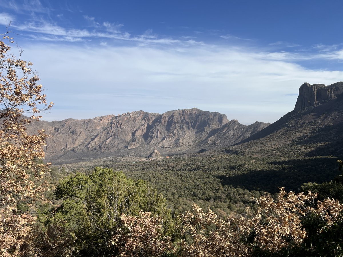
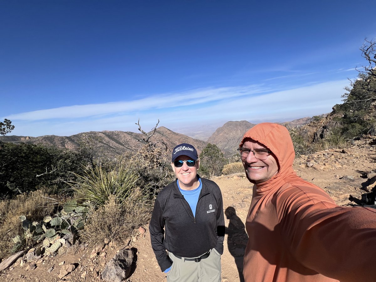
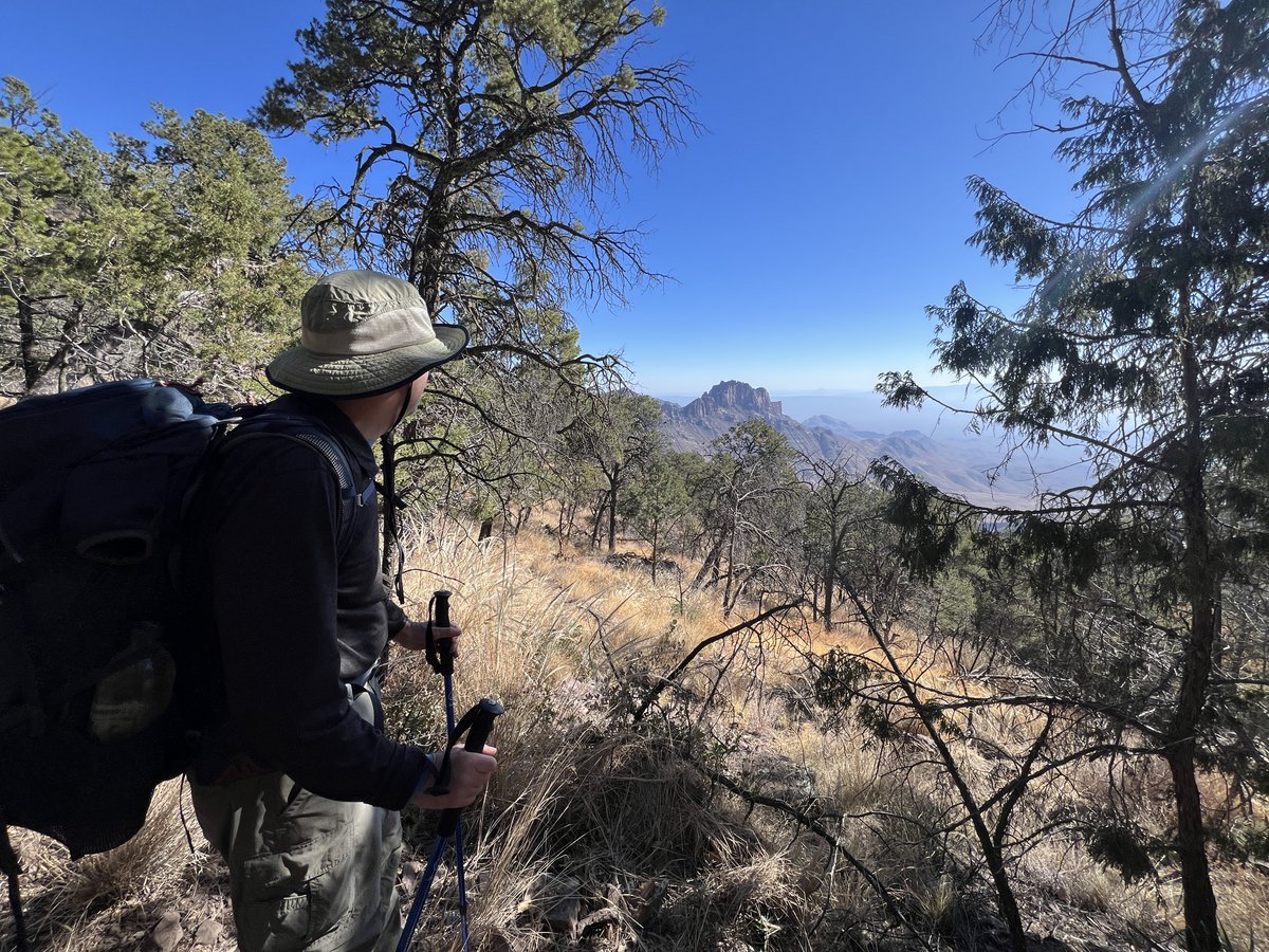
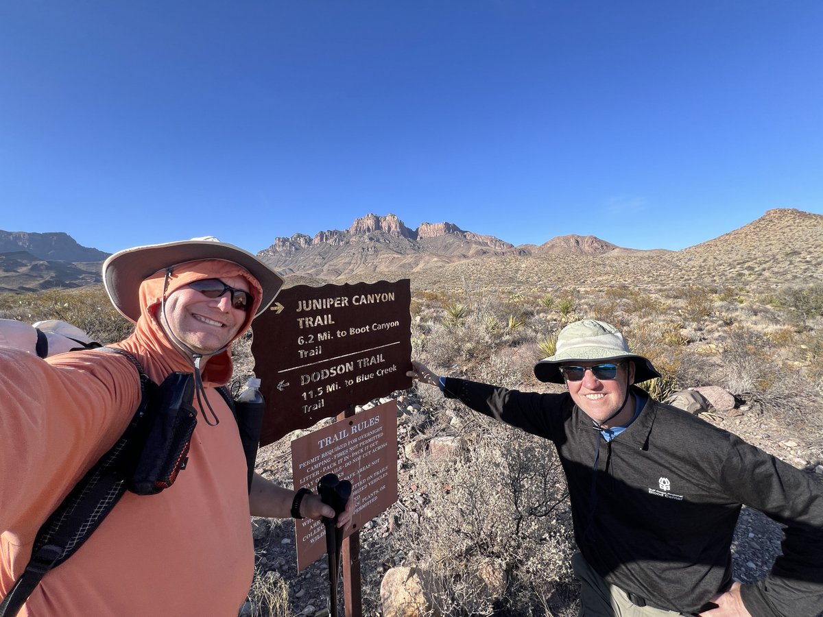
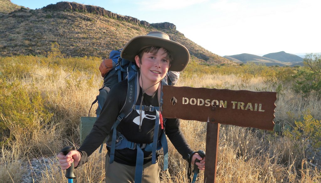
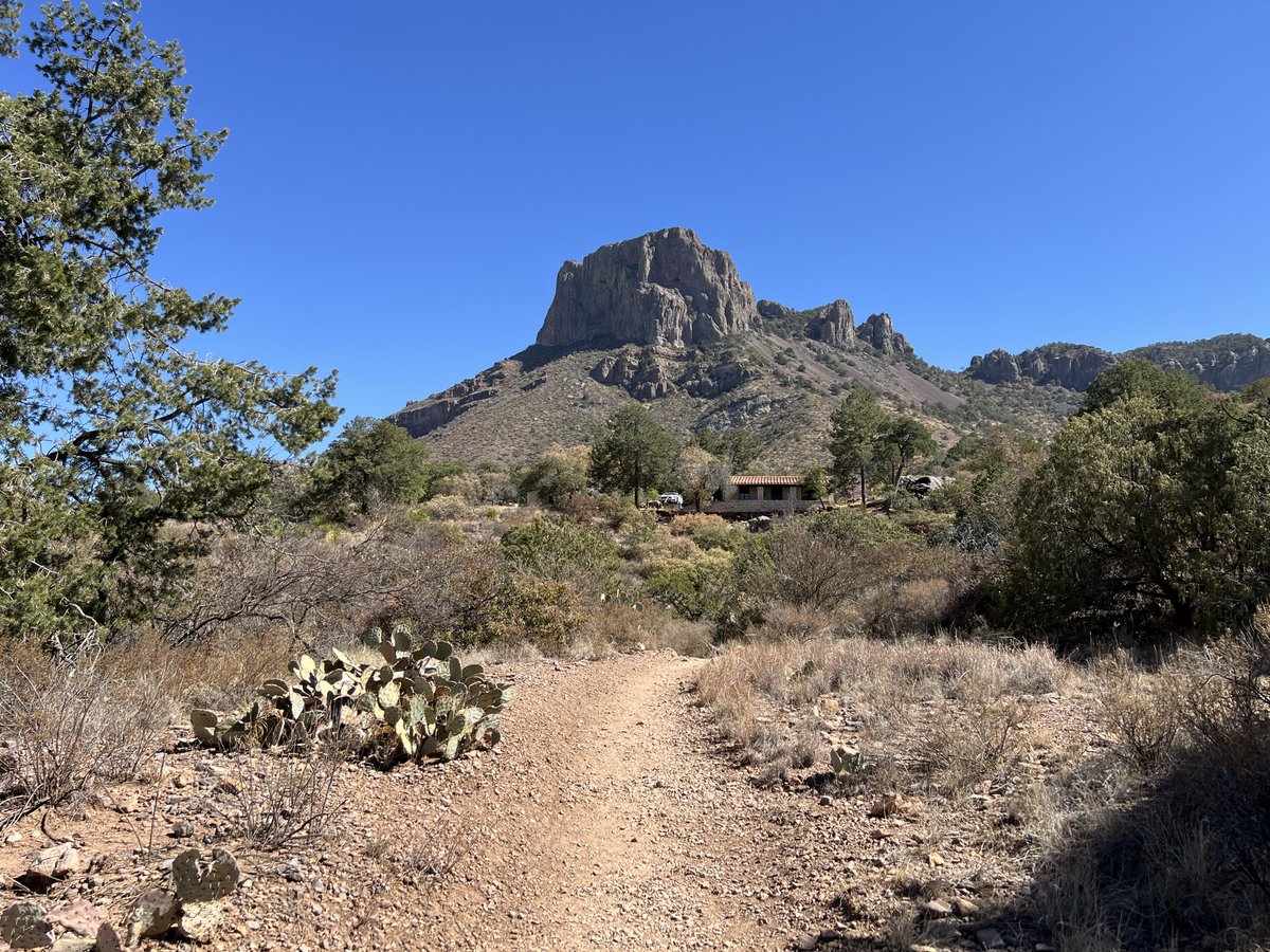
I considered this sign to be the start of “the loop.” We took the left fork into the mountains via Pinnacles Trail, and would return four days later from the right fork via Laguna Meadows. We had started walking at 8am and the sun had still not reached the basin.

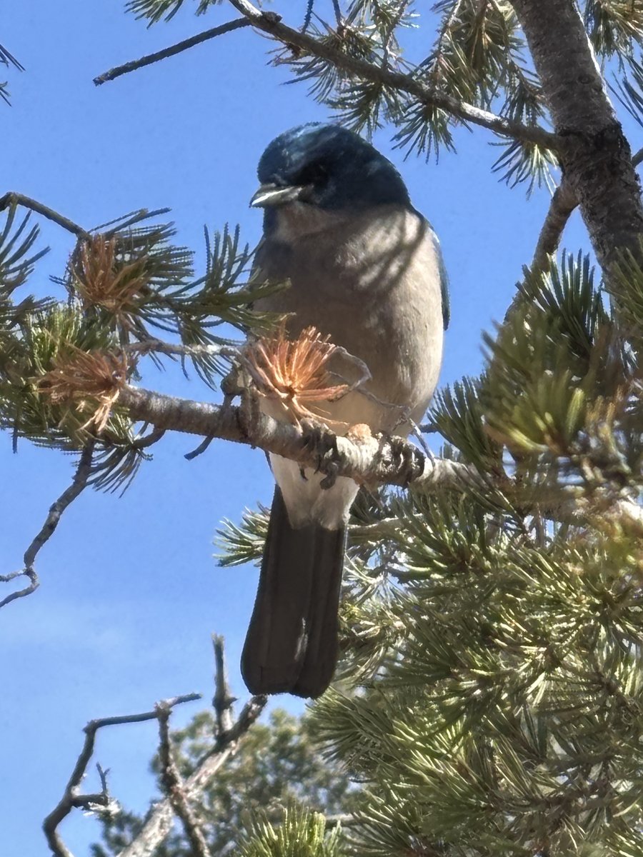
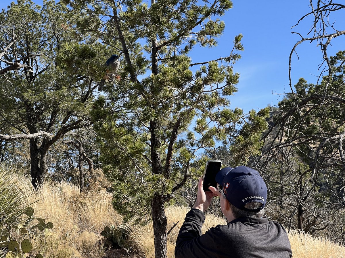
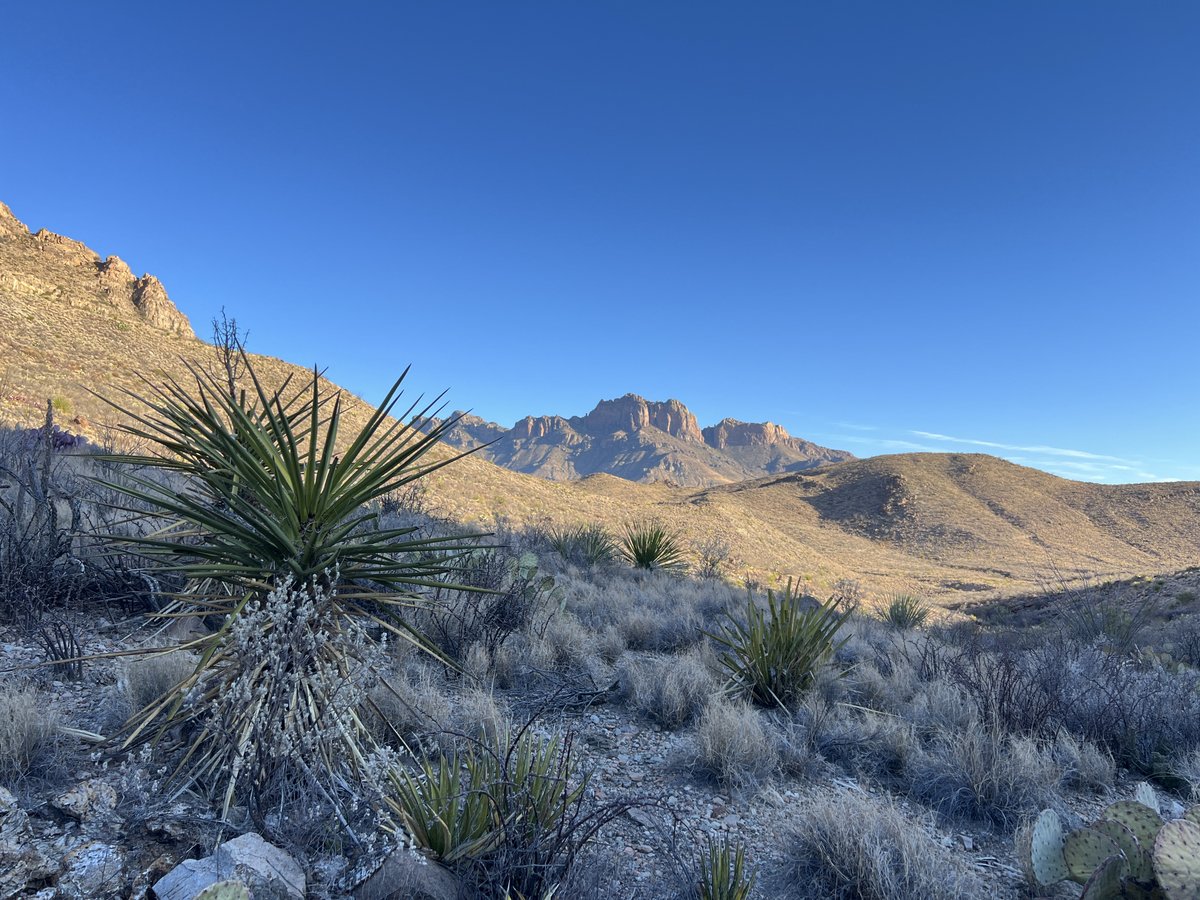
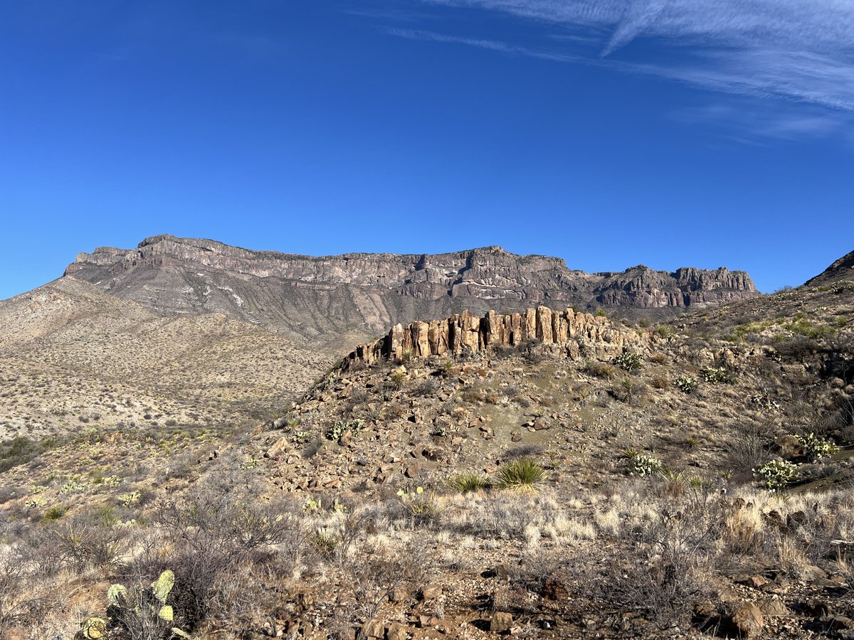
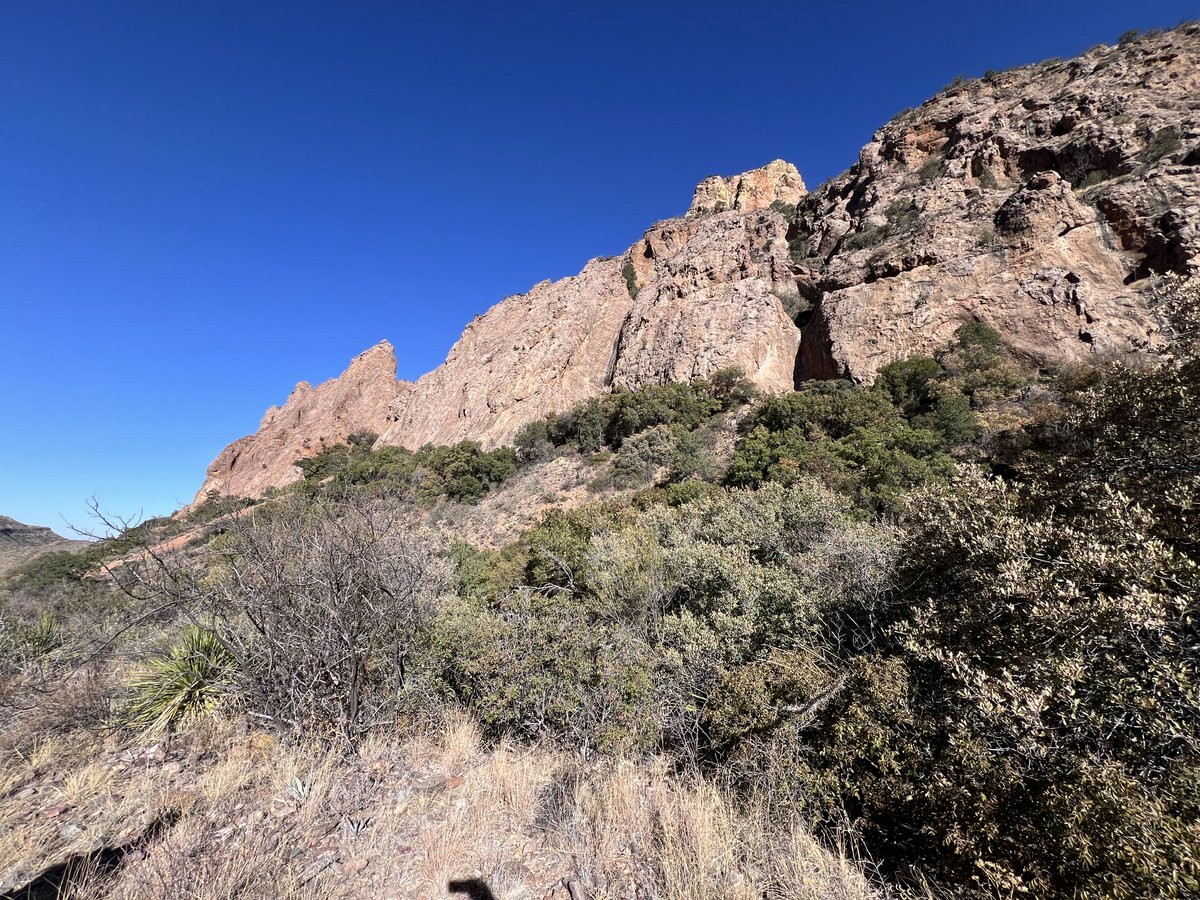
The first part of the trek is a 2,000 ft climb onto the Chisos plateau. Fresh legs, cool temperatures, a friendly Mexican Jay, and fantastic scenery made it easier than expected.


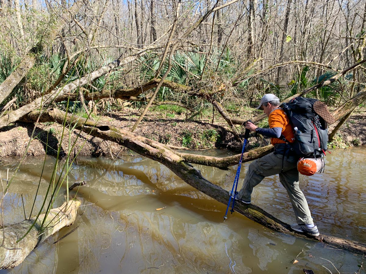
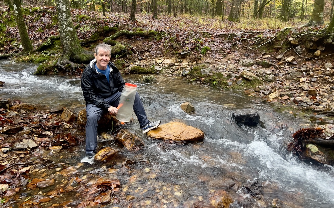
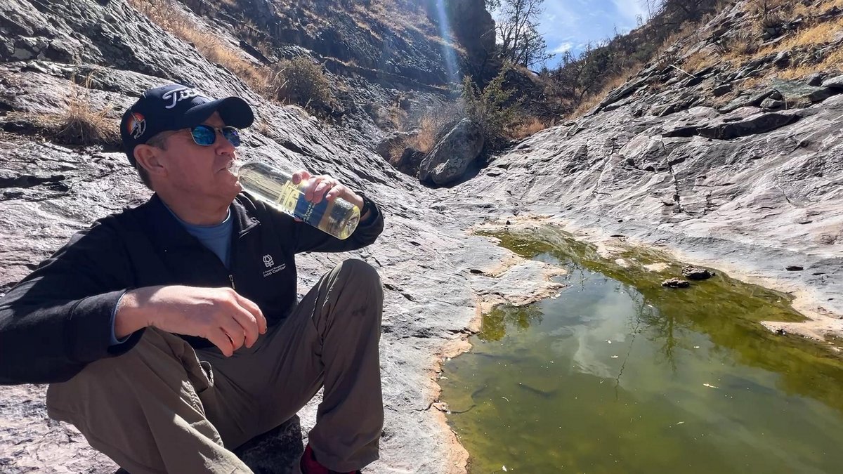
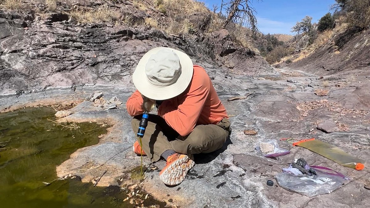
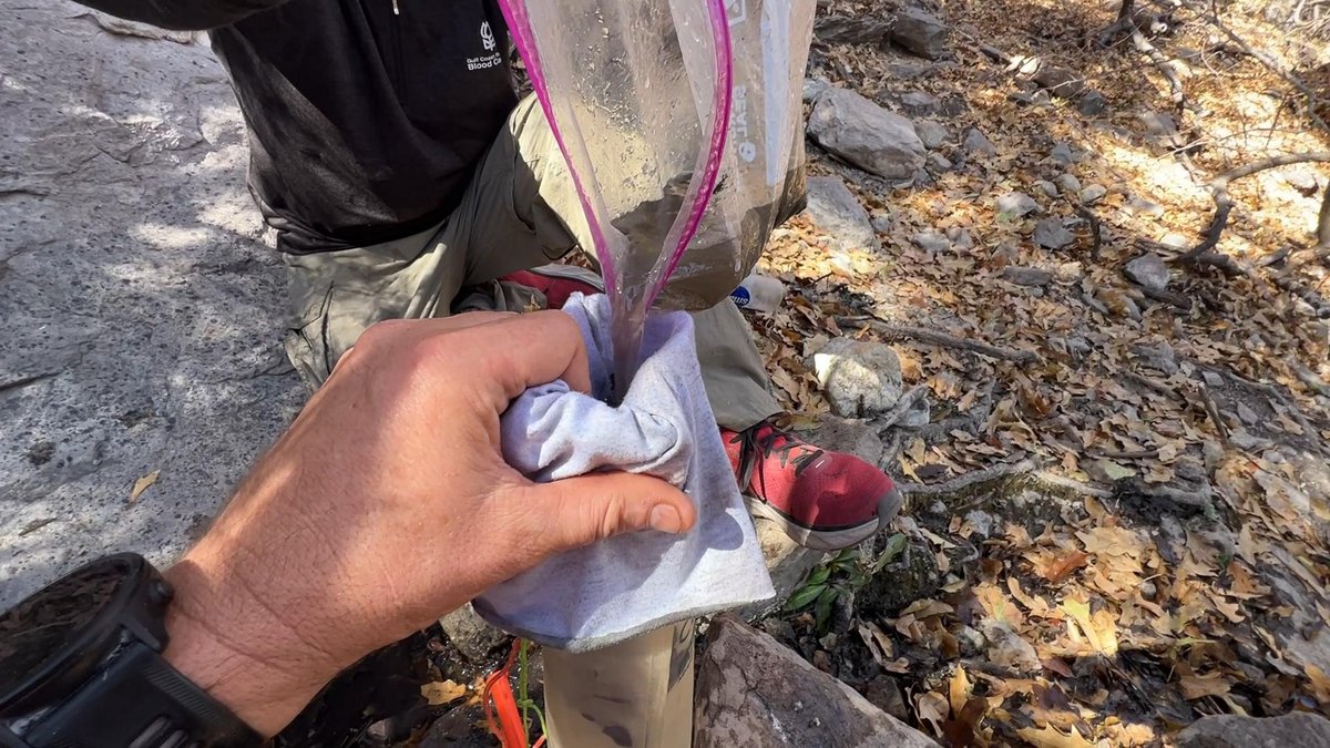
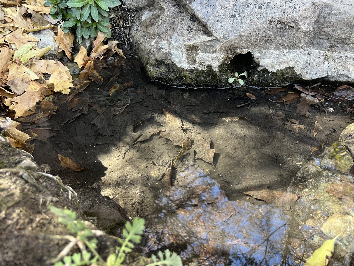
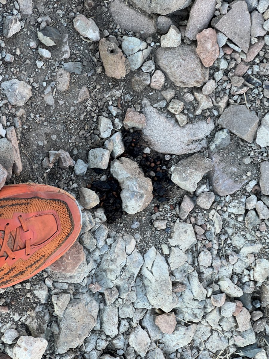
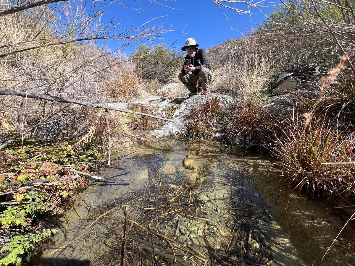
Once on the plateau, it was another mile to our campsite in Boot Canyon. After setting up camp, we headed off to find water. As expected, there wasn’t any flowing water but some puddles remained in a canyon. While the puddles were very green with algae, my Sawyer Squeeze filter removed it and any other particulates, leaving just a faint hint of green and a mild flowery taste.


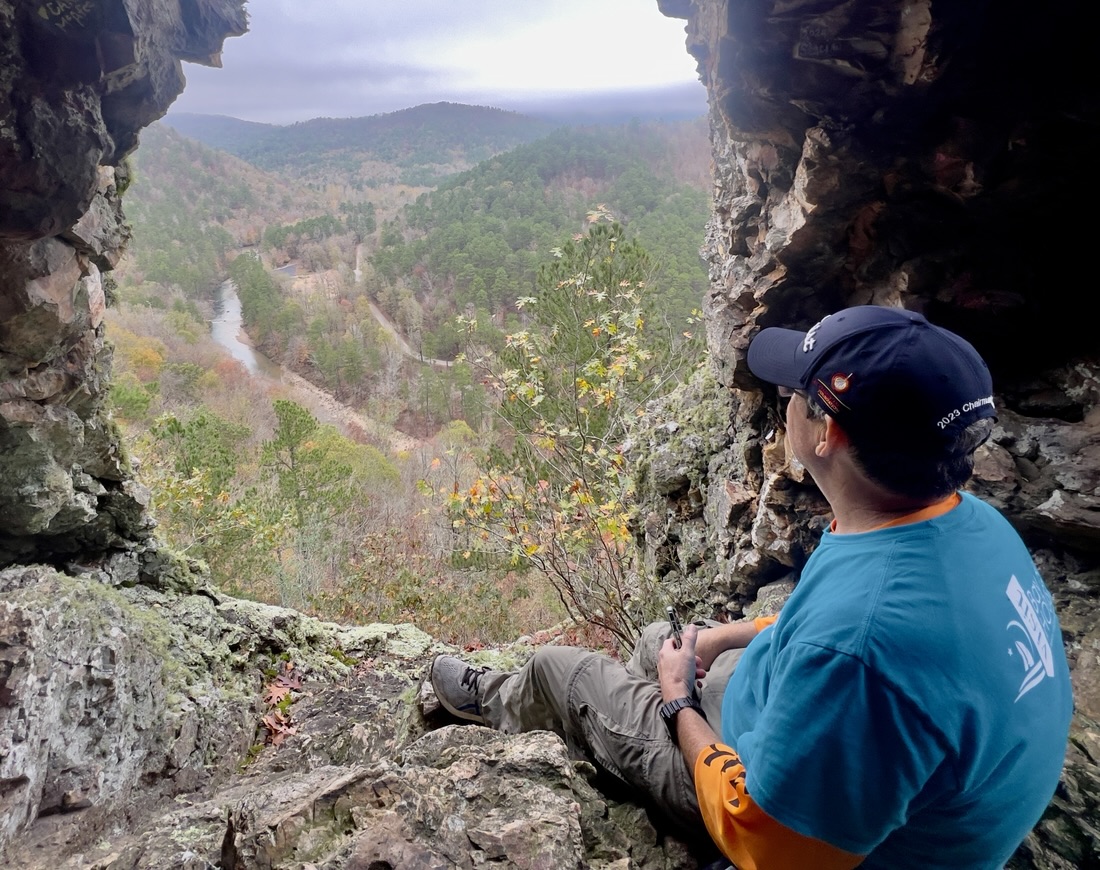
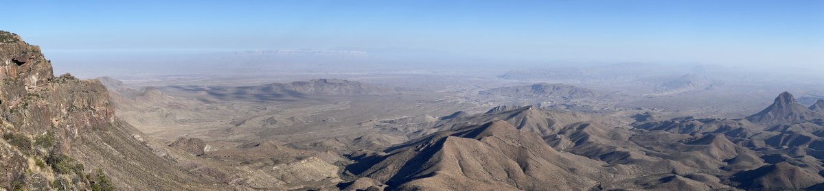
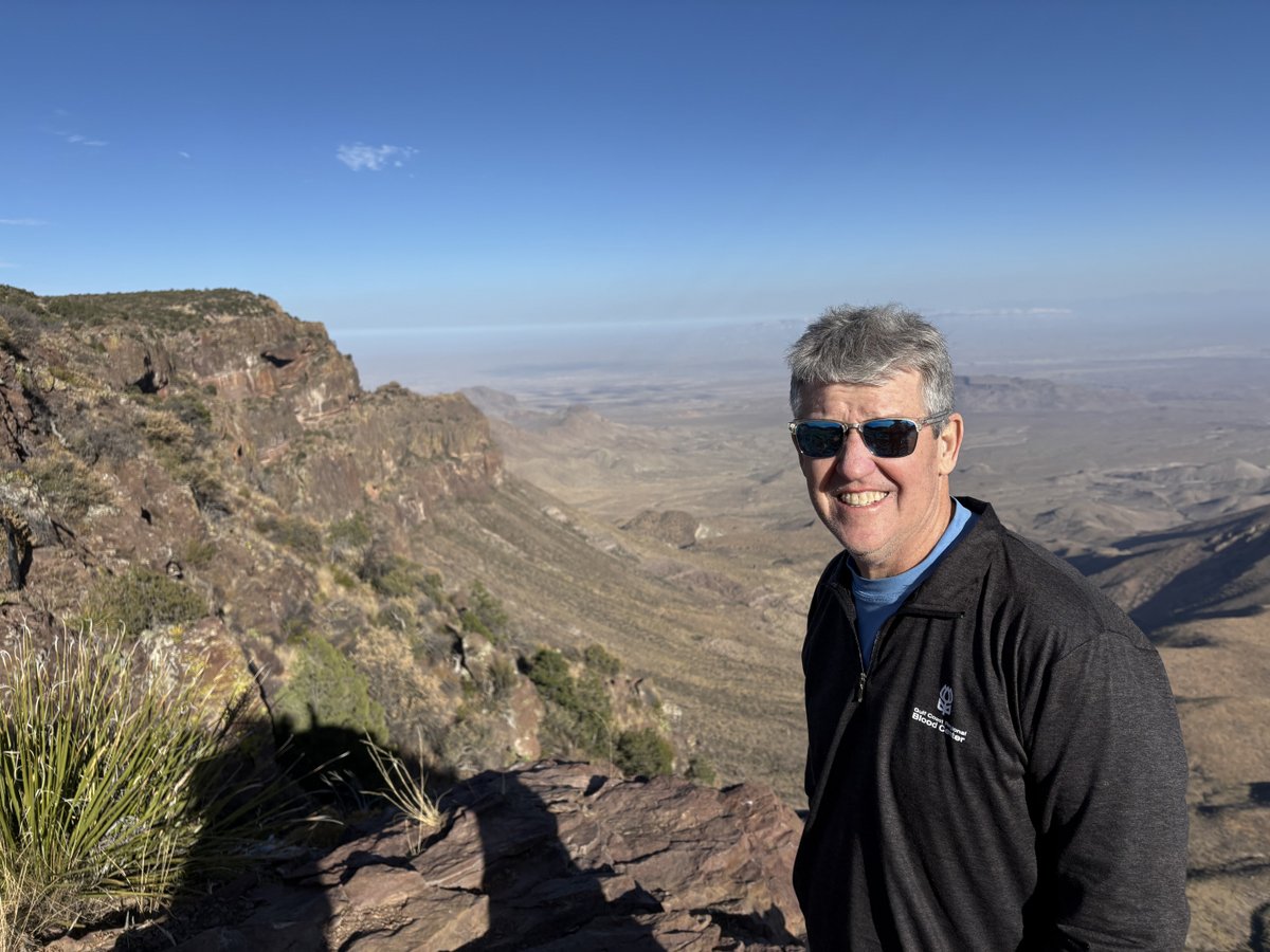
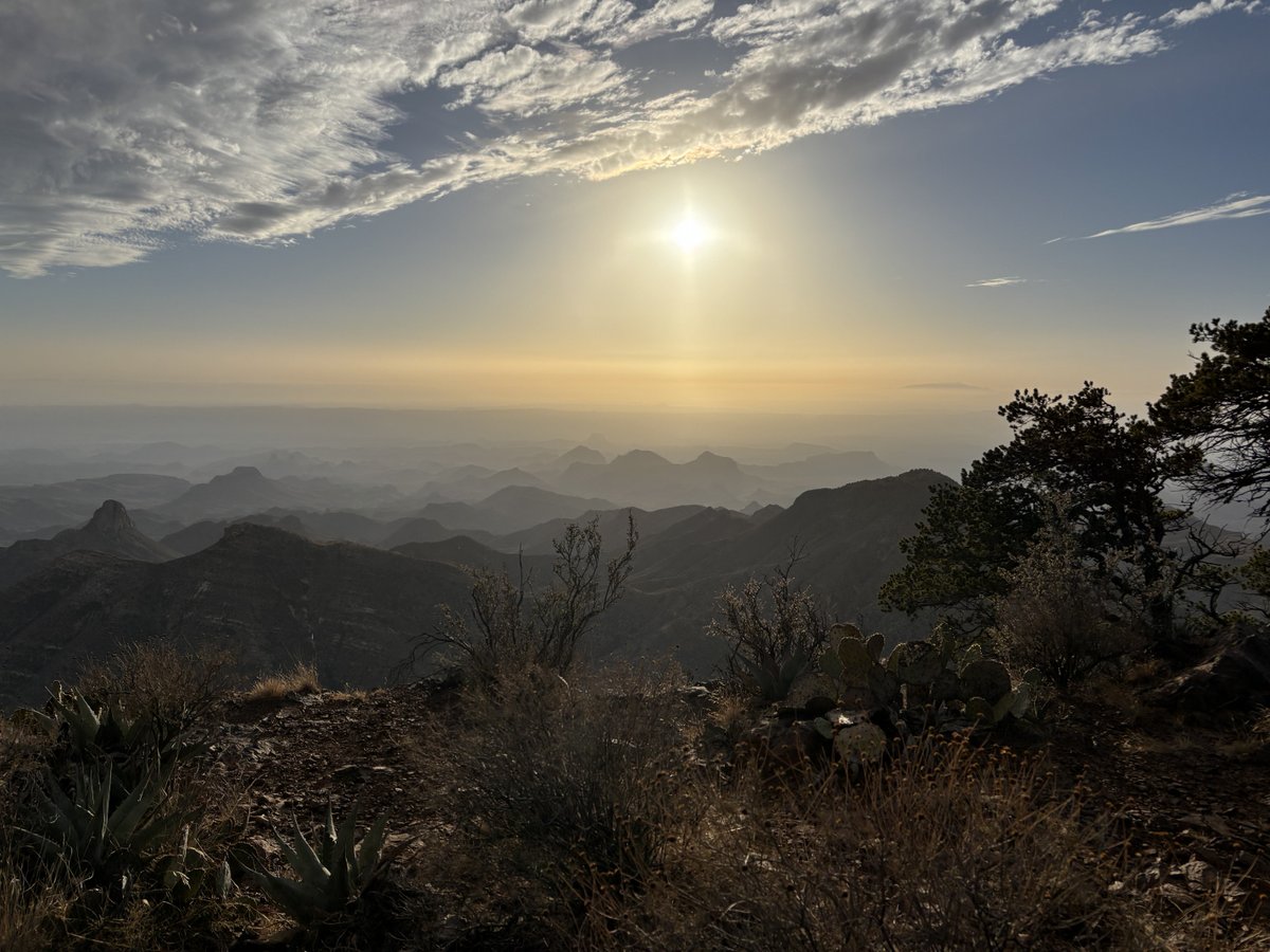
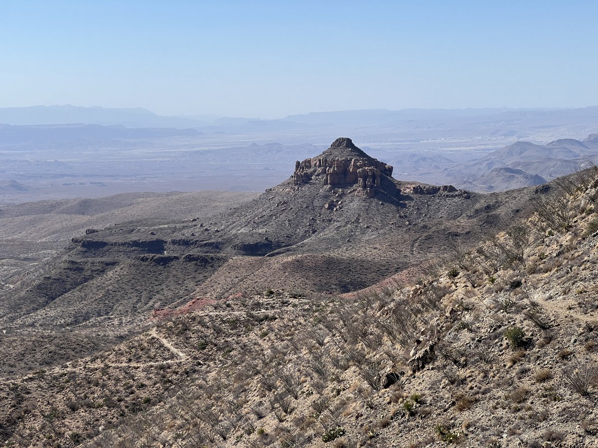
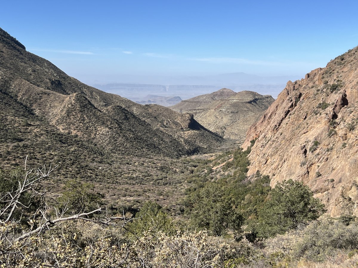
After taking our six liters of water back to camp, we headed to the South Rim for the views, sunset, and dinner. On the way, we saw a rare gray fox walk across a canyon in front of us. From the rim, we looked down upon where The Dodson Trail crossed the hilly expanse below us, that we would cross in two days.


That tree looked familiar from my 2019 visit with Samuel.
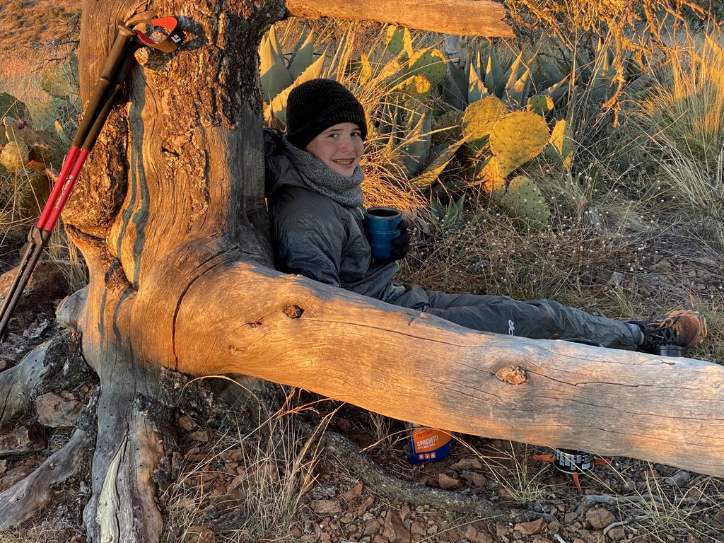
After a fine Chicken Alfredo for dinner as we watched the sunset, we headed back to camp. Discovering that one of our headtorches was dead made the 2.5 mile trek in the dark more interesting! During the walk, a bloodred full moon rose, looking like a forest fire through the trees, and helped light our path. The night was neither too cold nor too windy so was quite restful.
Day 2: Boot Canyon 1 Campsite to the Dodson Trail
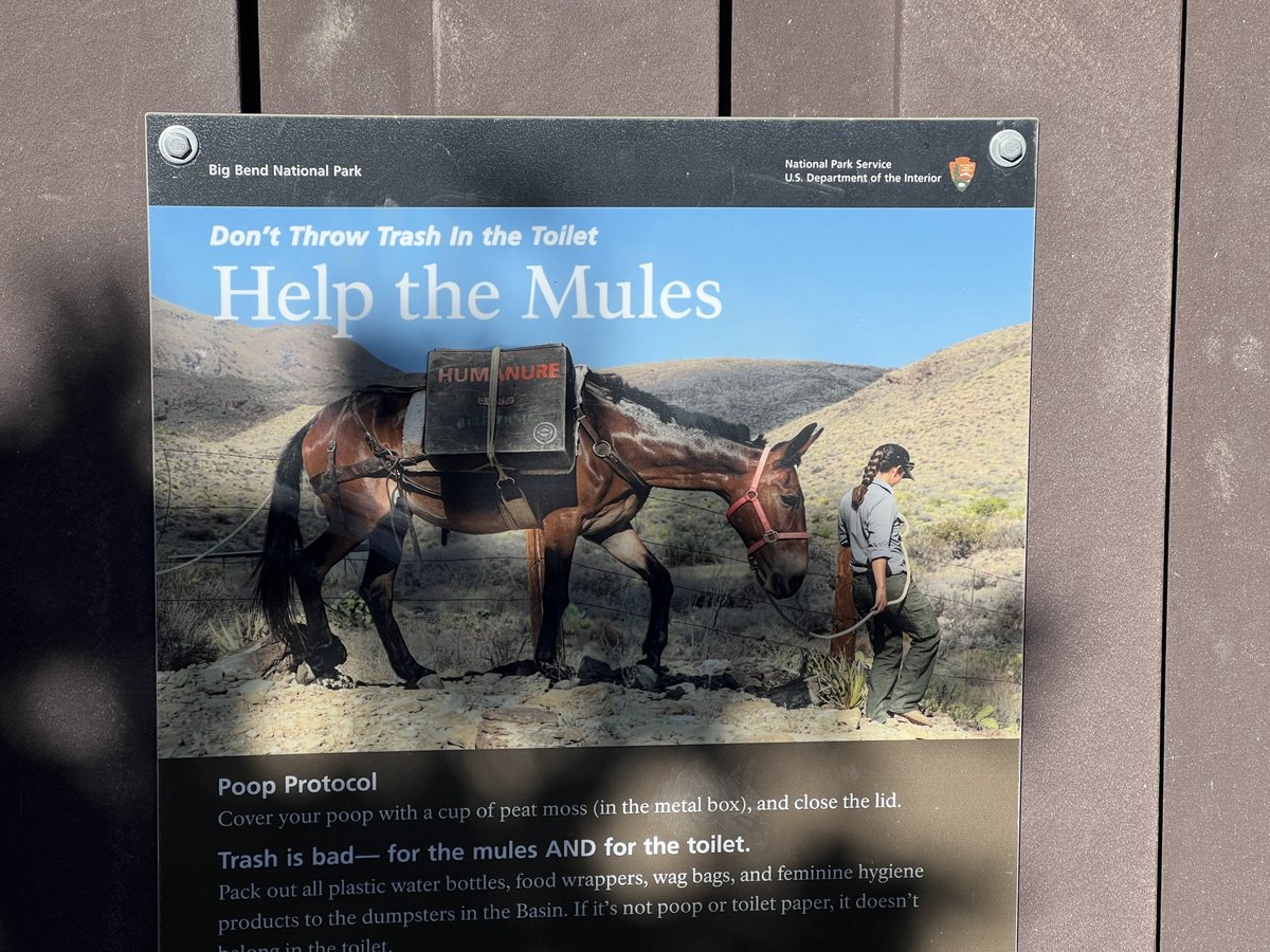
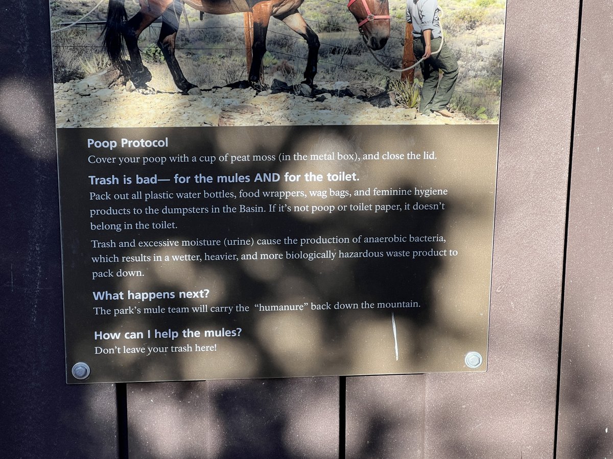
There was a backcountry vault toilet close to our campsite. Mules periodically carry out the waste “humanure”!

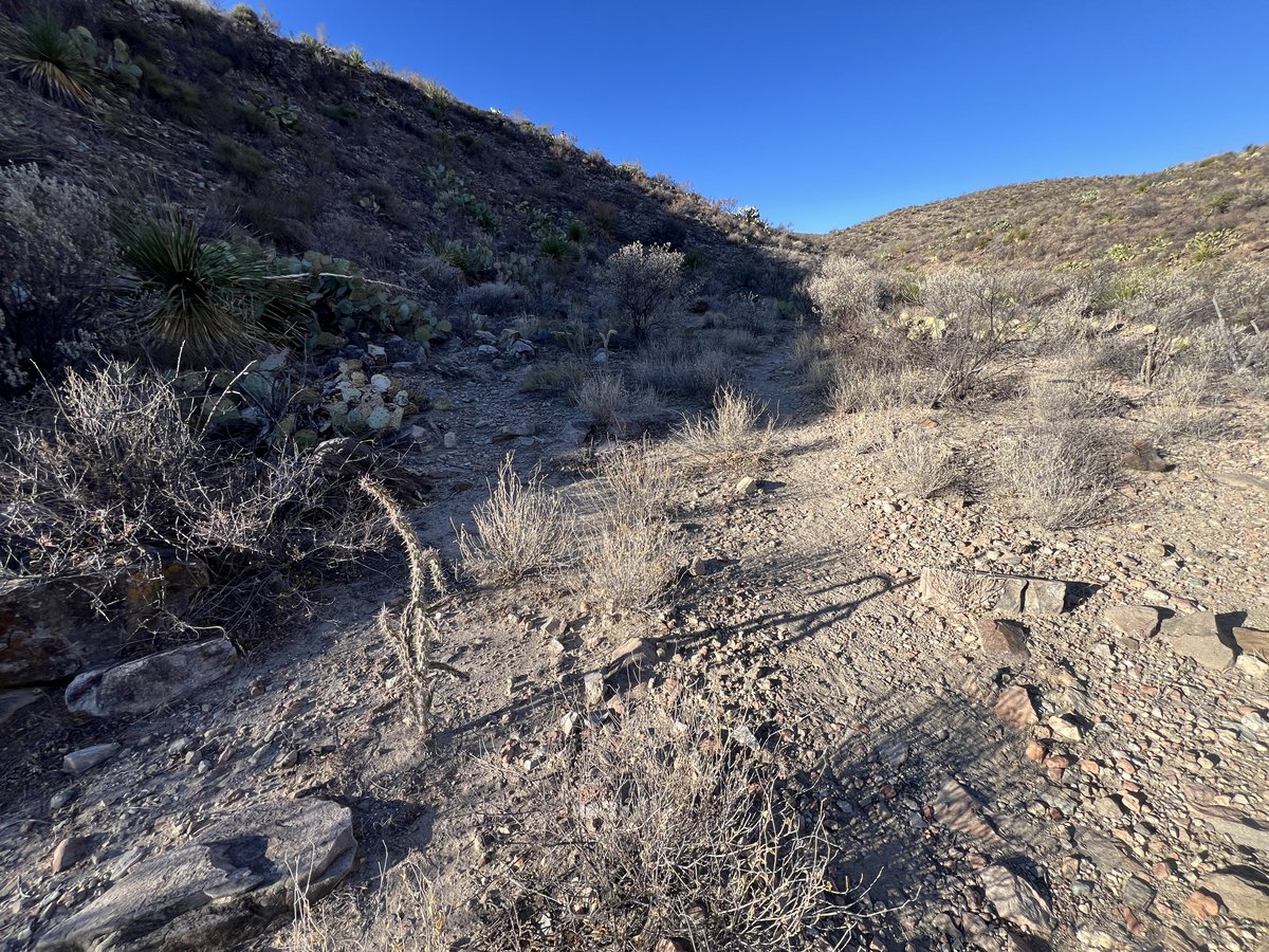
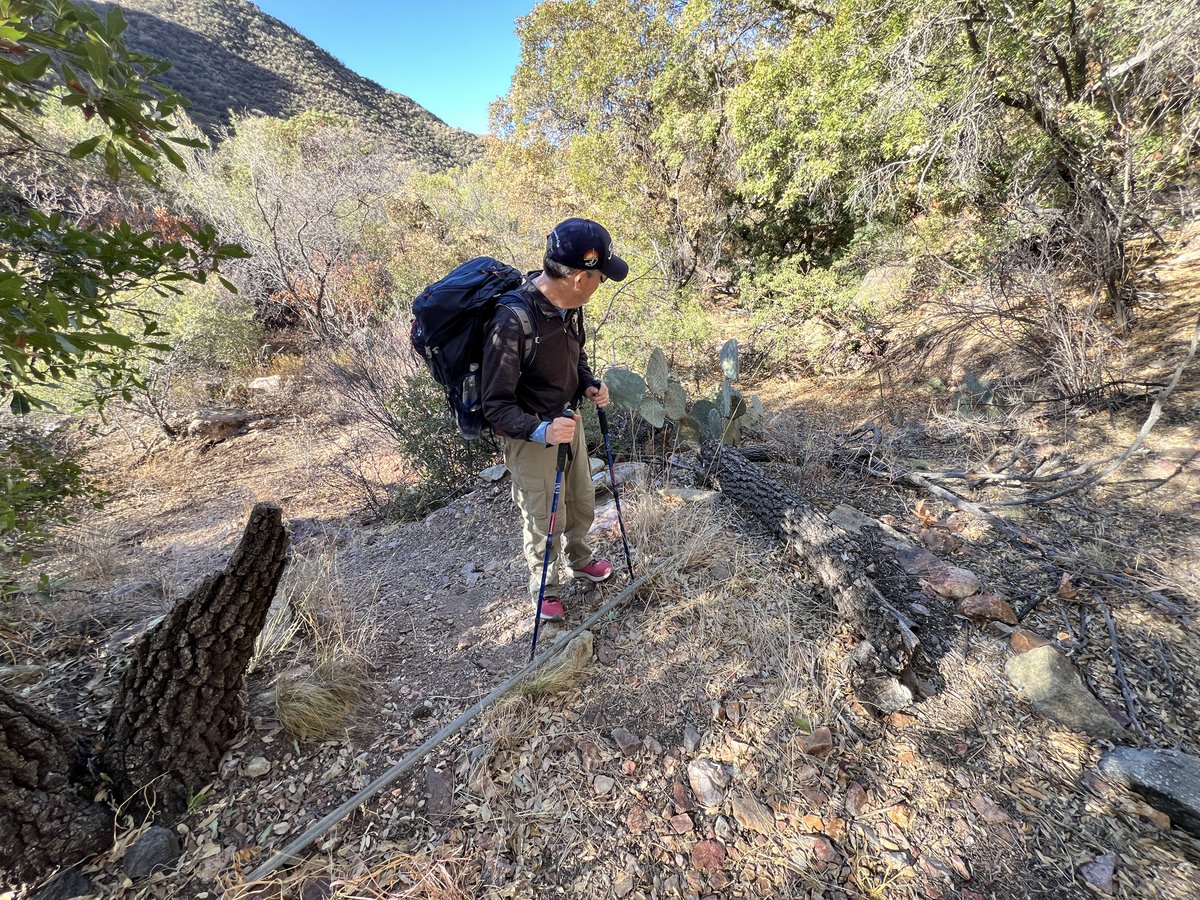
With our camp packed up, we headed down Juniper Canyon Trail, off the plateau and 3,000ft of descent. Once off the plateau, we did not see another soul for two days. Vance unknowingly dropped his wallet on this trail, only finding out when we were back in the car, but some hikers one day behind us, also doing the Outer Mountain Loop, found it and handed it in! Wow. Without knowledge of the lost wallet, we enjoyed heading down the hill, with Vance feeling he was in an old western movie set, though some of the forests had been damaged by wildfires in 2021.


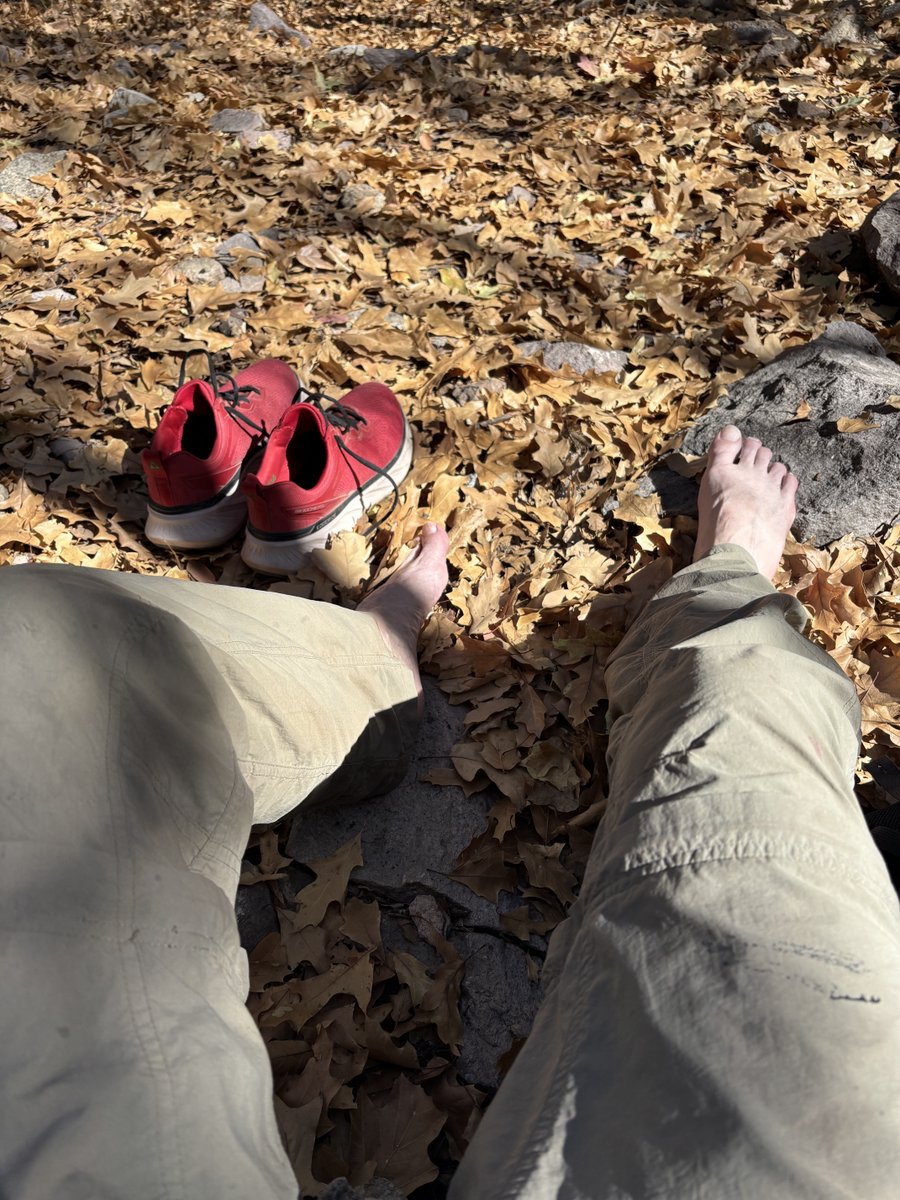
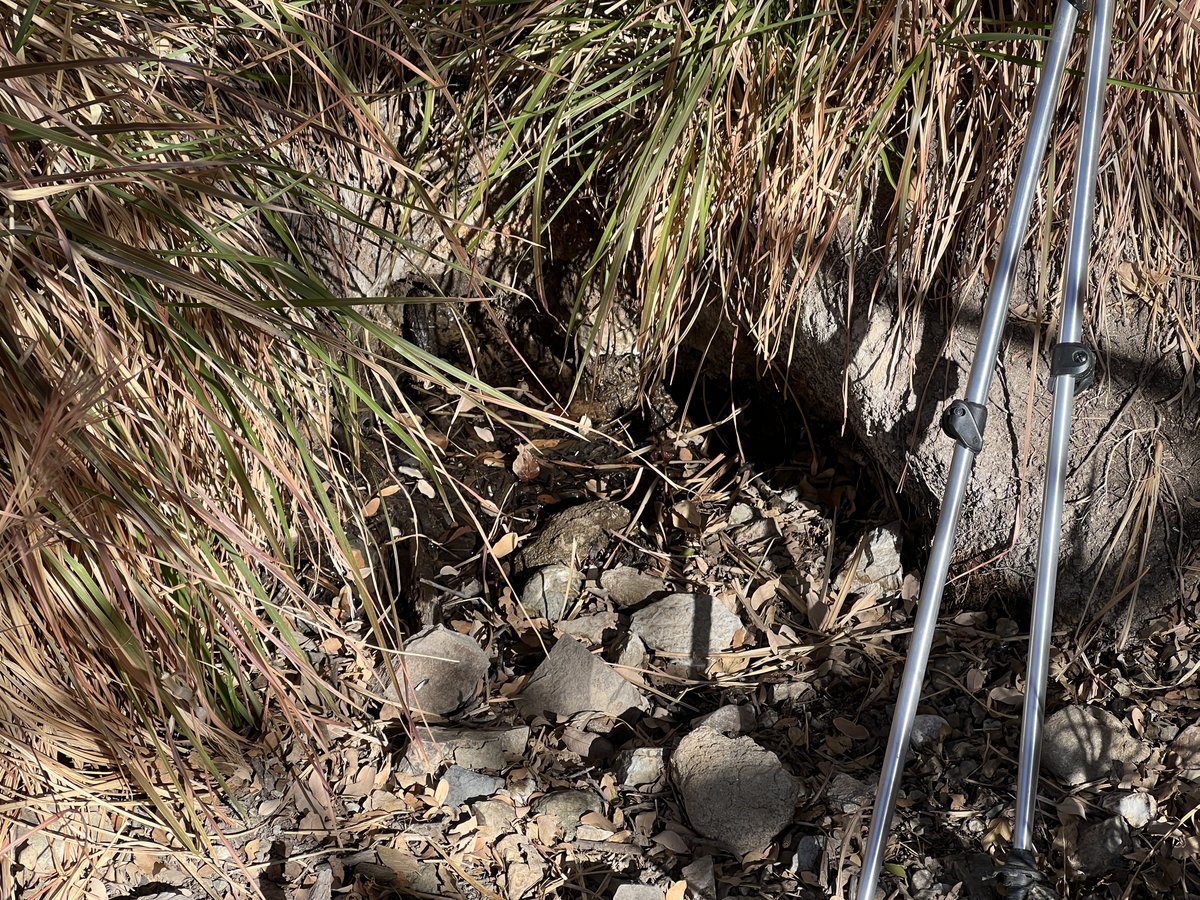
About half way down the mountain is Juniper Spring. Located next to a couple of old, abandoned troughs, it has a very slow flowrate but we were able to grab and filter six liters from a small, dammed puddle. The resulting water was clear, tasting like mineral water. The shade was a great place to rest and enjoy a lunch of cheese and salami and crackers.


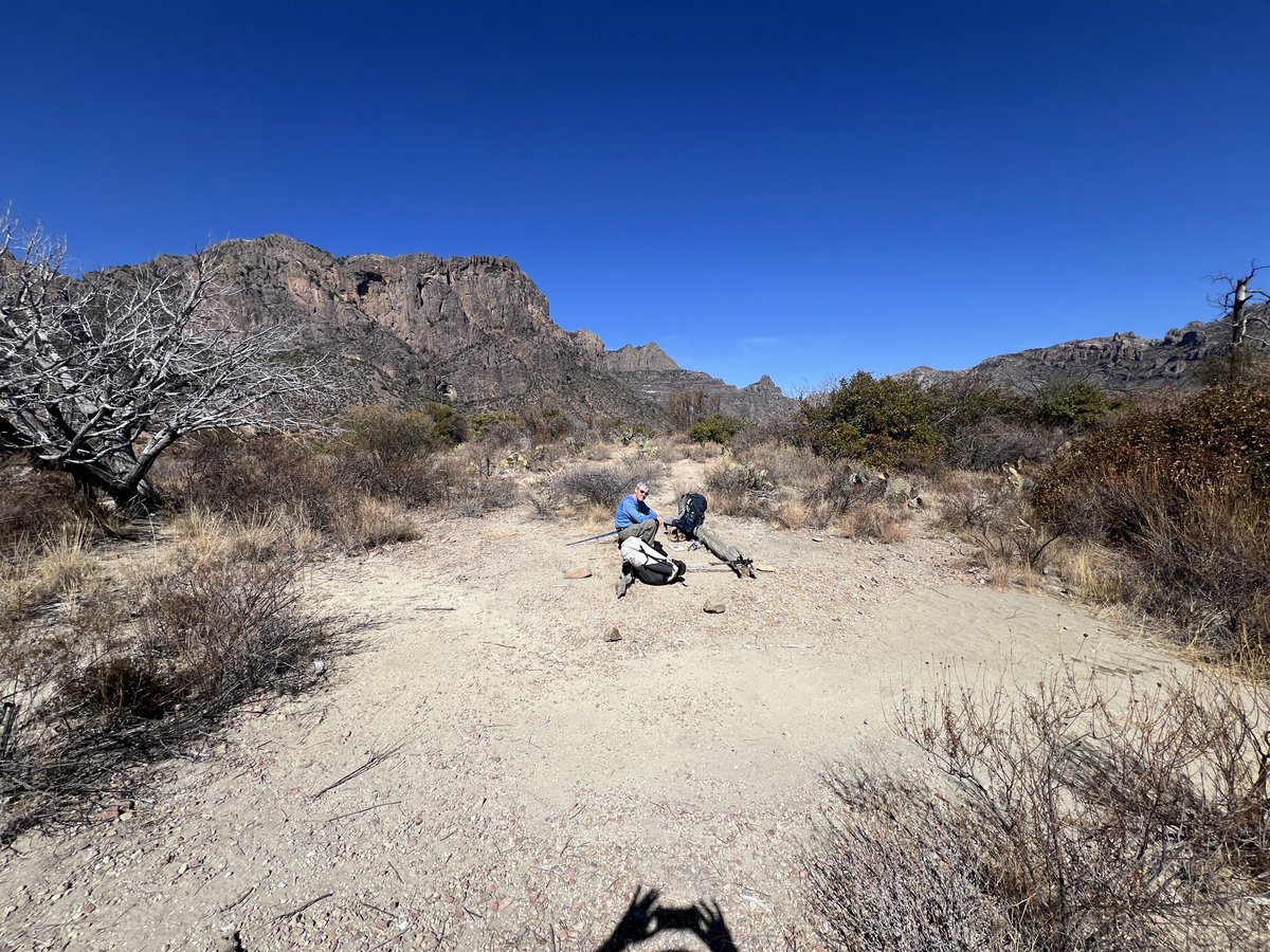
We continued walking down the trail until we reached the valley floor which brought us to the junction of Juniper Canyon Trail and the Dodson Trail. The East and South Rims of the Chisos Mountains towered above us. There was a water cache box here, accessible by high-clearance 4×4, which we had not used.


We walked a couple of miles along the Dodson Trail to gain a bit more distance and find a suitable campsite.


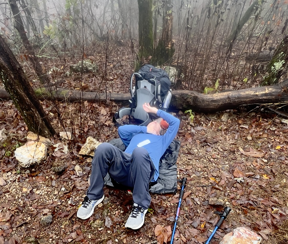
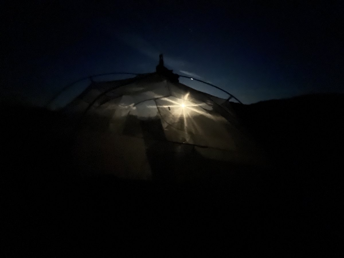
We enjoyed an incredibly clear night, seeing countless stars and satellites followed by moonrise at 9pm. While Vance used the tent, I cowboy camped, struggling to take my eyes off the night sky!


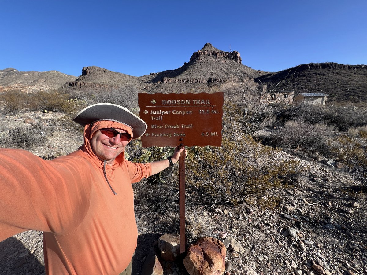
Day 3: The Dodson Trail to Blue Creek Trail
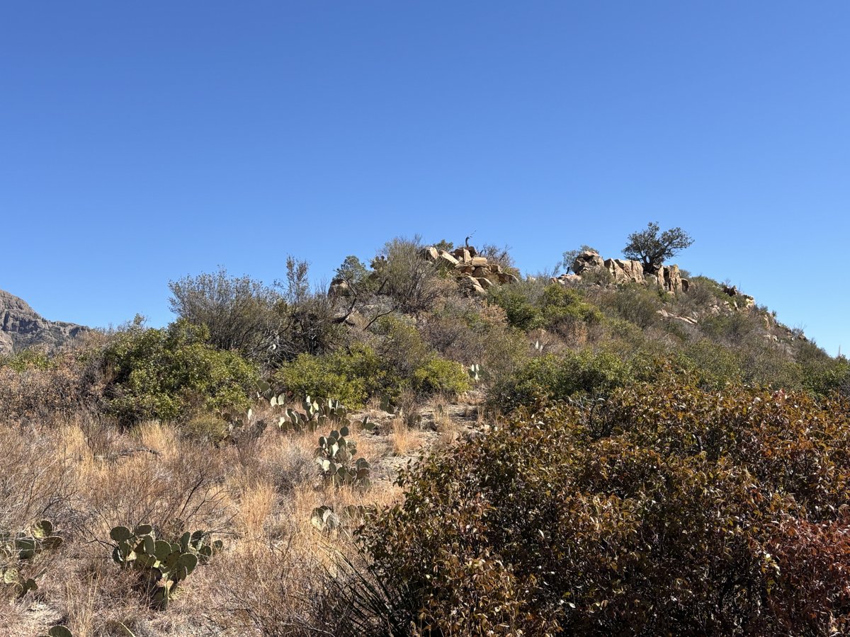
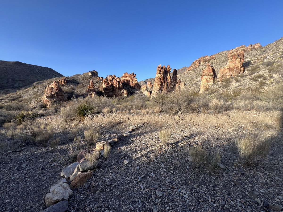
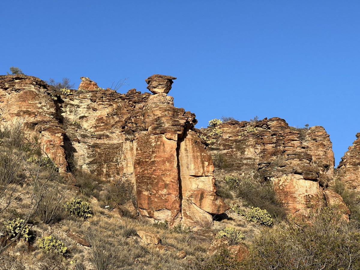
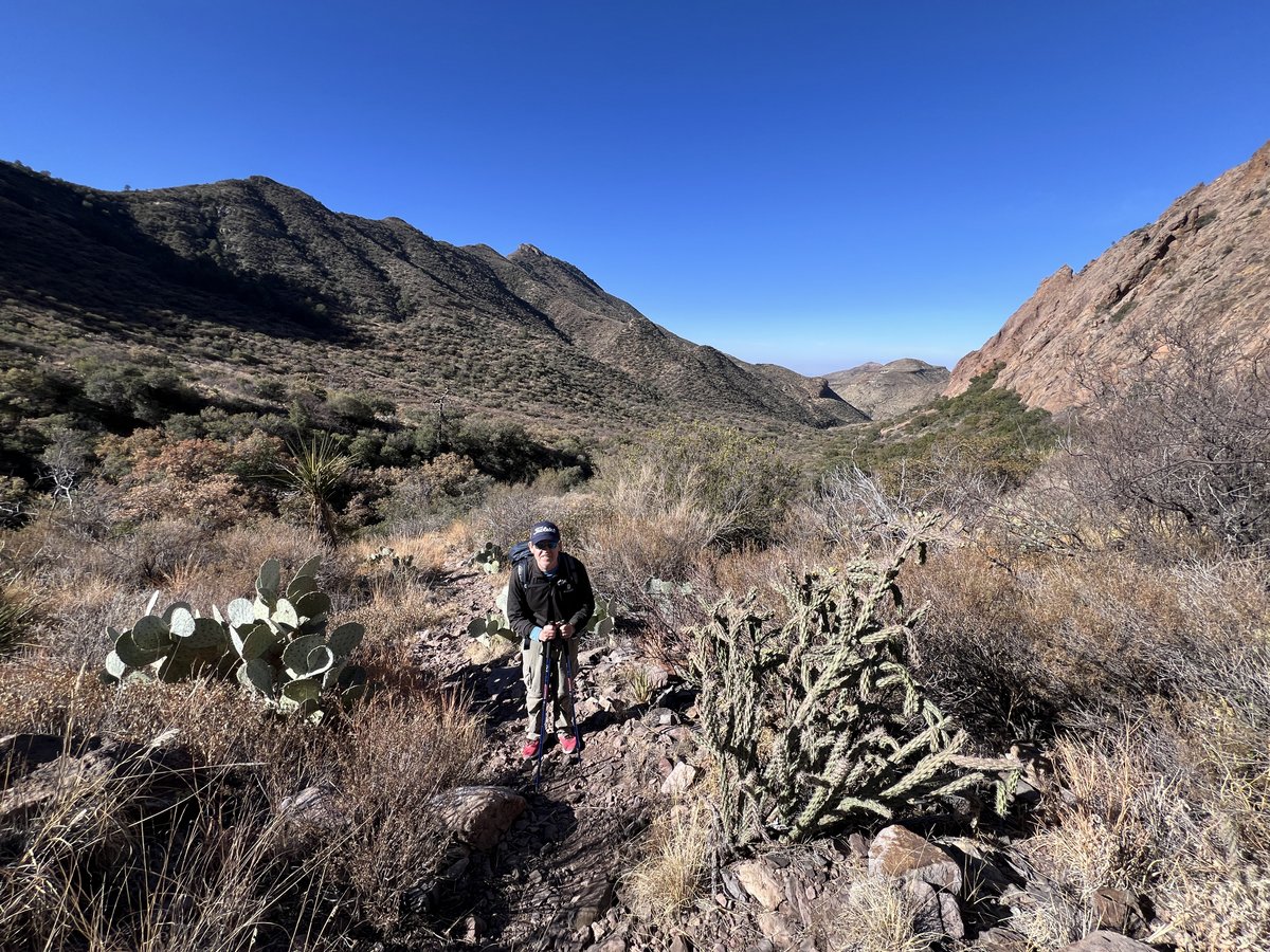
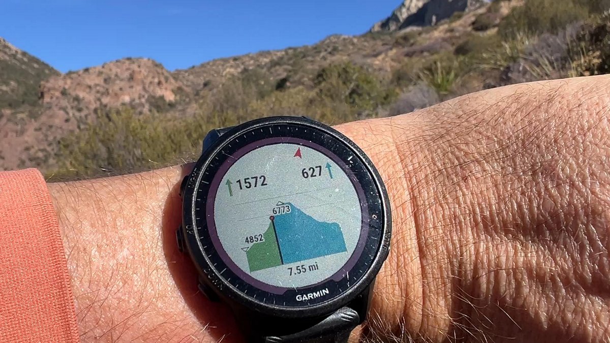
The Dodson is considered the hardest part of the loop. The 10-12 mile stretch goes up and down a lot, due to river washes and hills. It is often very hot, though a strong February wind made the temperatures quite pleasant for us. Navigation is difficult, trying to spot the next rock pile, though fortunately I recognized where I had mistakenly gone off trail last time and avoided the mistake. My Garmin watch helped. We saw the evidence of several large animals but had no direct encounters.


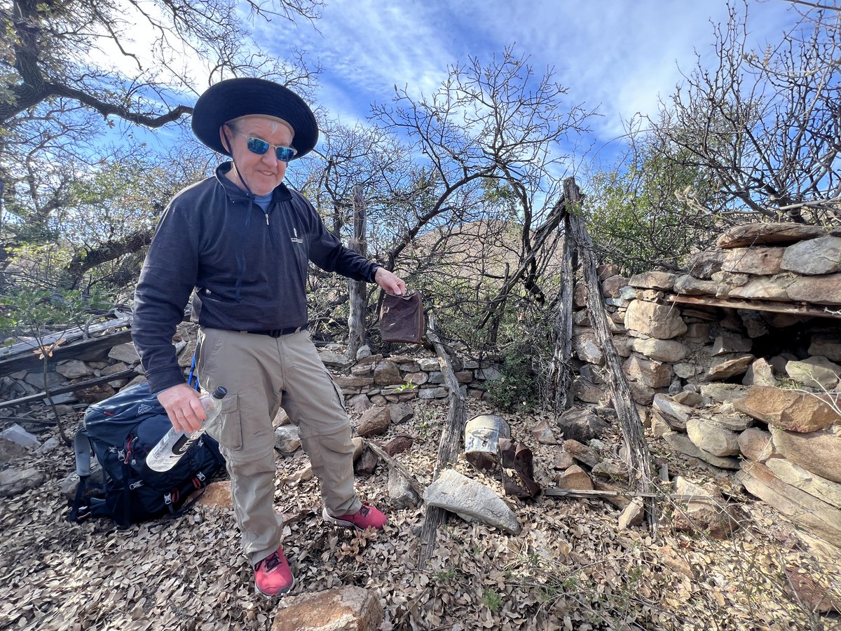
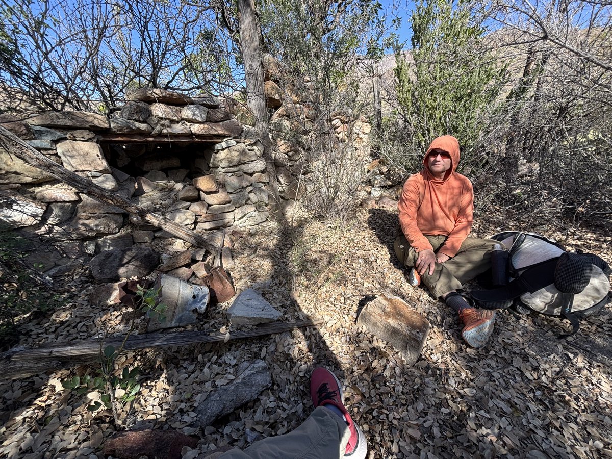
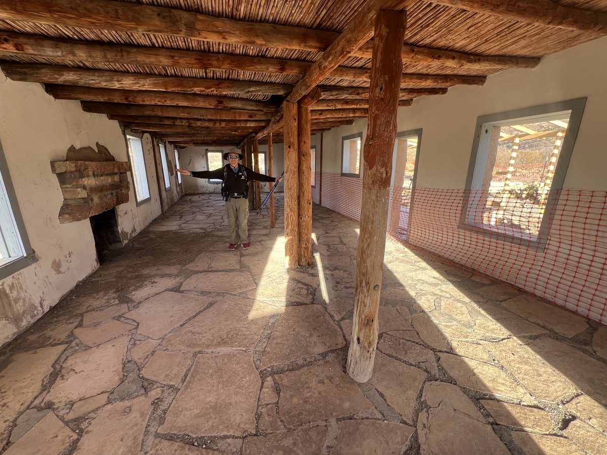
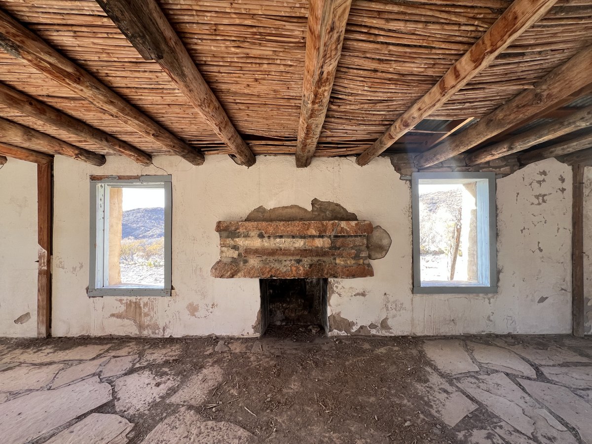
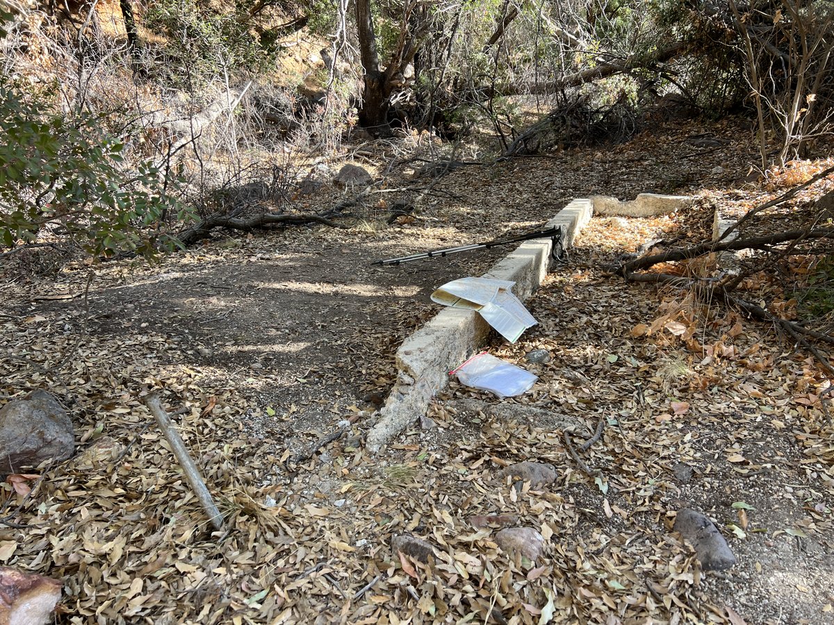
On this trail is the old Dodson Ranch, which gave the trail its name. It includes the remains of a couple of abandoned buildings under large shade trees, alongside a small spring. It was built in the 1930s, and abandoned in 1945.


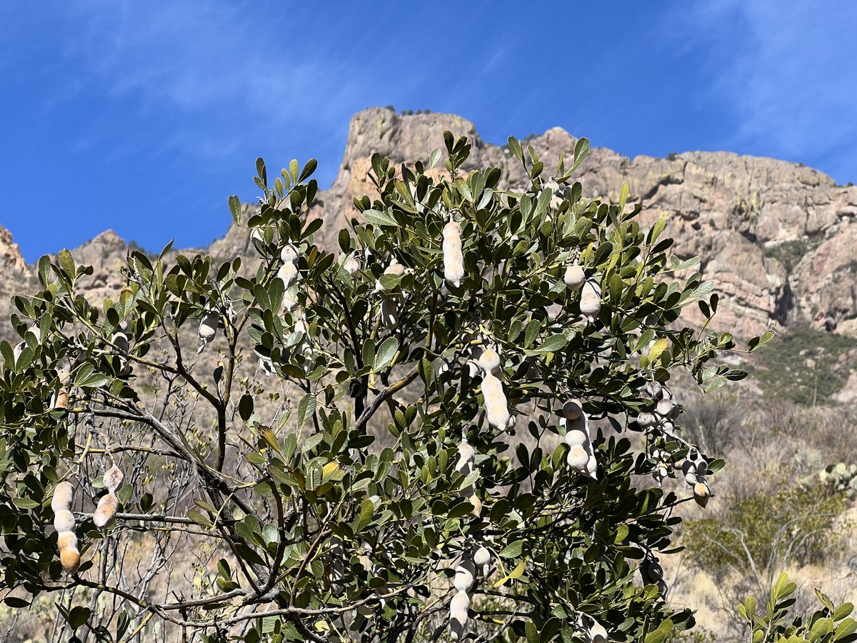
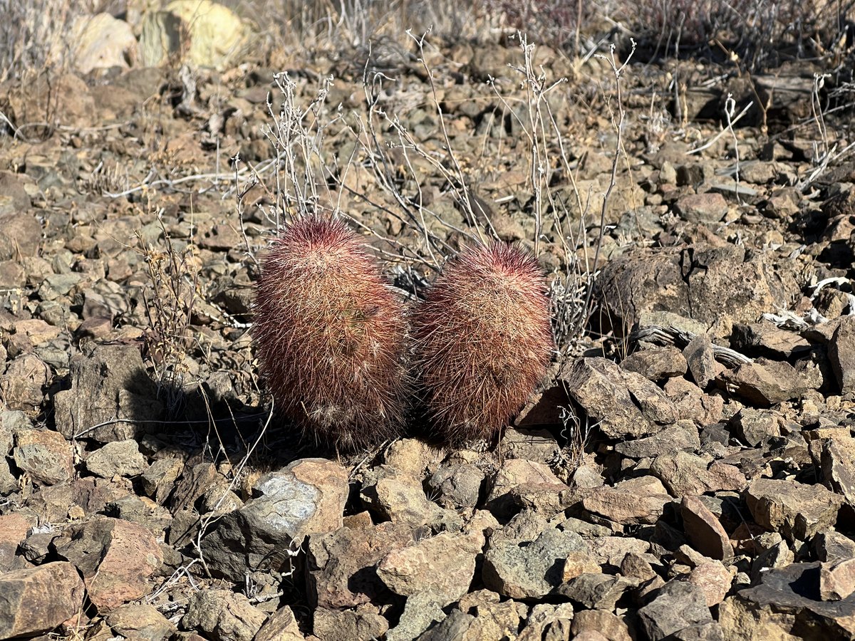
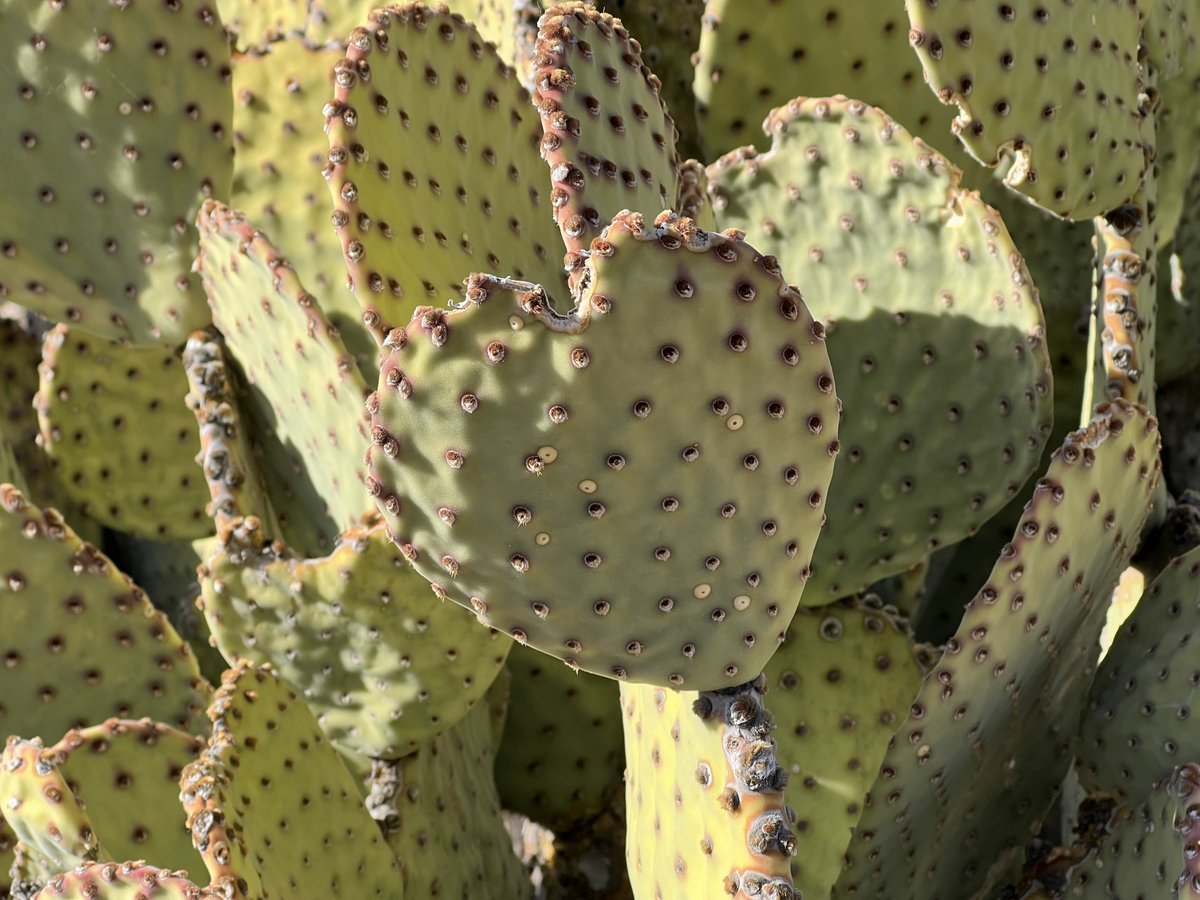
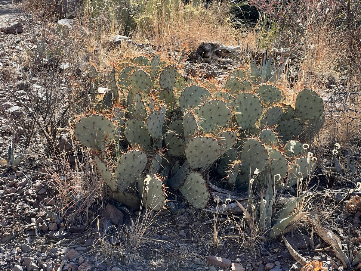
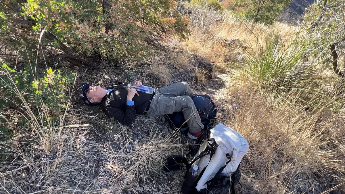
We chose not to filter water here as Fresno Creek was further along the trail. I thought it was closer than it was, and we had some tough climbing ahead. We used the excuse of taking photographs of various cacti to get a rest!


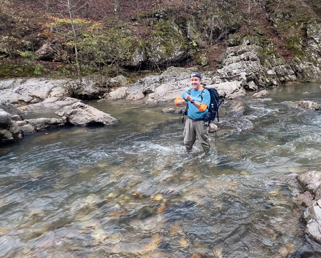
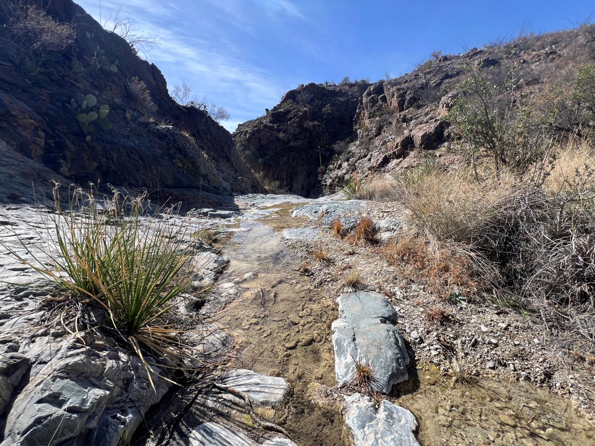
Fresno Creek, fed by a desert spring, had a reasonable amount of flow. The water was clear and cool and filtered quickly. The shade was great for our lunch break.
We continued walking, but it was hard going with the strong sun (even though it was relatively cool for February), the rocky undulating trail, and the strong winds. A fall did not dampen our spirits but we were very happy to see Homer Wilson Ranch and to collect our water cache.


Spot the difference?
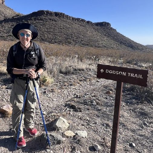
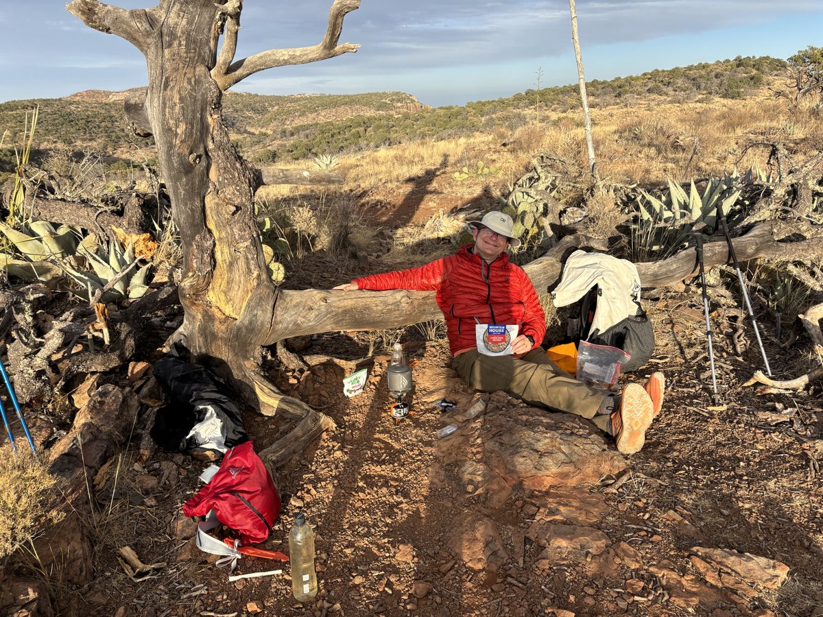
I remembered this sign from when I did it with Samuel in 2017.

After collecting our water cache, we checked out Homer Wilson Ranch, which was built in the 1920s and abandoned in 1945.
We plodded onward for about another two miles, trying to eat some of the following day’s distance, but we stopped at 6pm shortly before sunset. It had been a long day!


Day 4: Blue Creek Canyon to Chisos Basin
We were up well before sunrise as we had a long day ahead – hiking out, then driving back to Houston. After a mile or so, we started seeing a pipe intermittently. It had presumably carried water to the ranch. After another mile, we came to the remnants of a trough in a shady clearing.


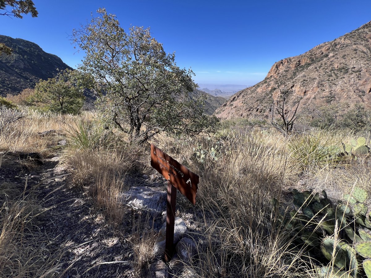
Onward we had to climb. It was hard work but the views opened up and we could see Santa Elena Canyon. Vance in particular was exhausted, which I had been when I first did this. Like a trail mule, his being able to “smell the hay in the barn” inspired him to plod on with his head down, one foot in front of the other, knowing each step brought him closer to the car. The “Zone Camping” sign signaled our imminent arrival at the top.
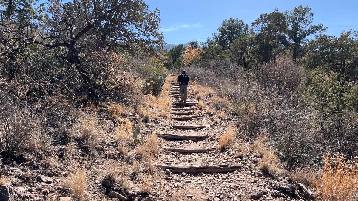
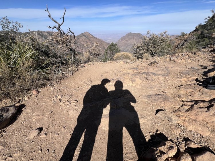
Once we were over the top, it was all downhill. We celebrated reaching the Pinnacles/Laguna Meadows sign, that signaled our completion of the loop, but the final 1/2 mile from the lodge to the car felt like 100 miles!


The discovery that a wallet had been lost put a dampener on our grand finale, but a roadrunner tried to brighten our day. Actually, he was just begging for food…


We had finished, but now had a 10-hour drive back to Houston to look forward to. We were so thankful to Ruth and Janet for letting us do such crazy things. I look forward very much to the next adventure. Vance remains unsure :). Very many thanks to Vance for getting me to return to the bend.
Below are a table and map that summarize the trek. The temperatures are of my watch in the sun.

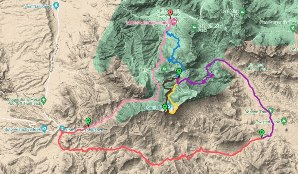
https://www.google.com/maps/d/u/0/edit?mid=1iZOeRswMtfDA8IYAQzEKG9JPK6Q5dB8&usp=sharing
Until next time!
If you have any questions about the Outer Mountain Loop, don’t hesitate to leave a comment below. And give this a “like”!
To read about our other adventures in Big Bend and West Texas, go to our West Texas page.
