Hiking the Solamere Trail in Park City, Utah

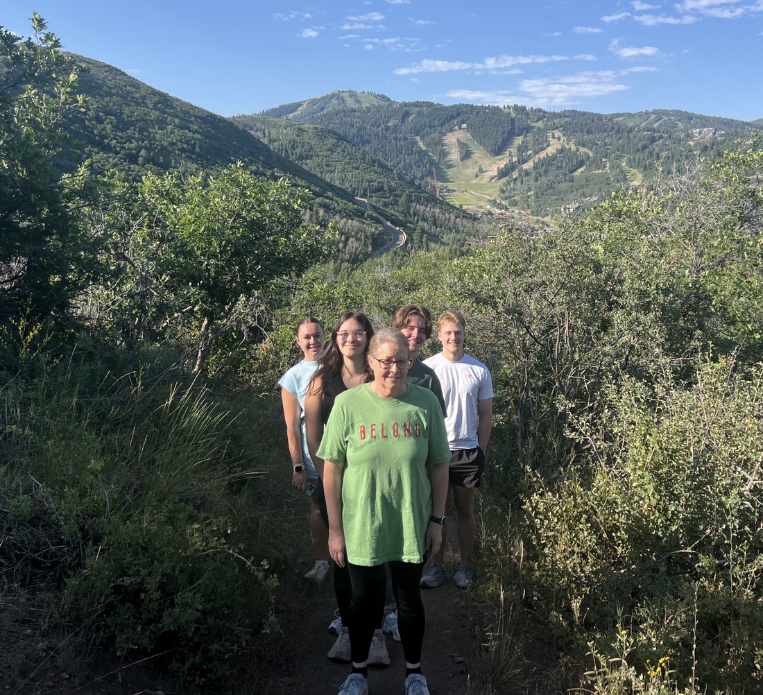
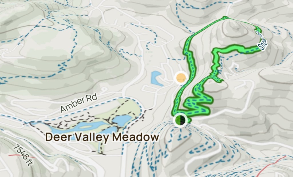
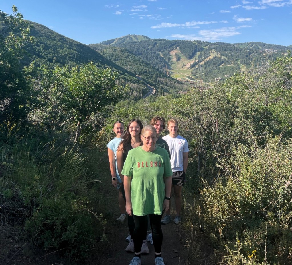
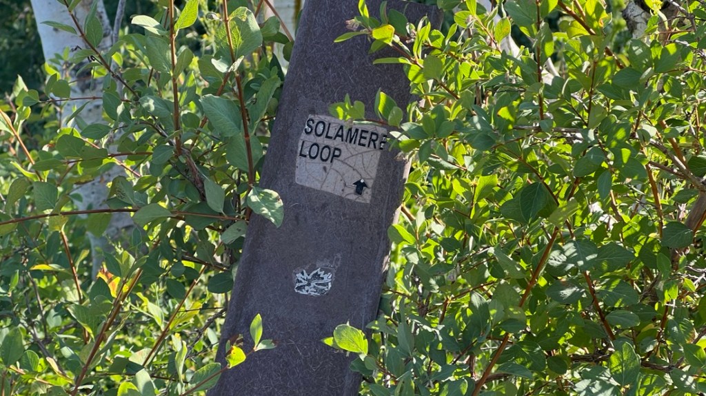
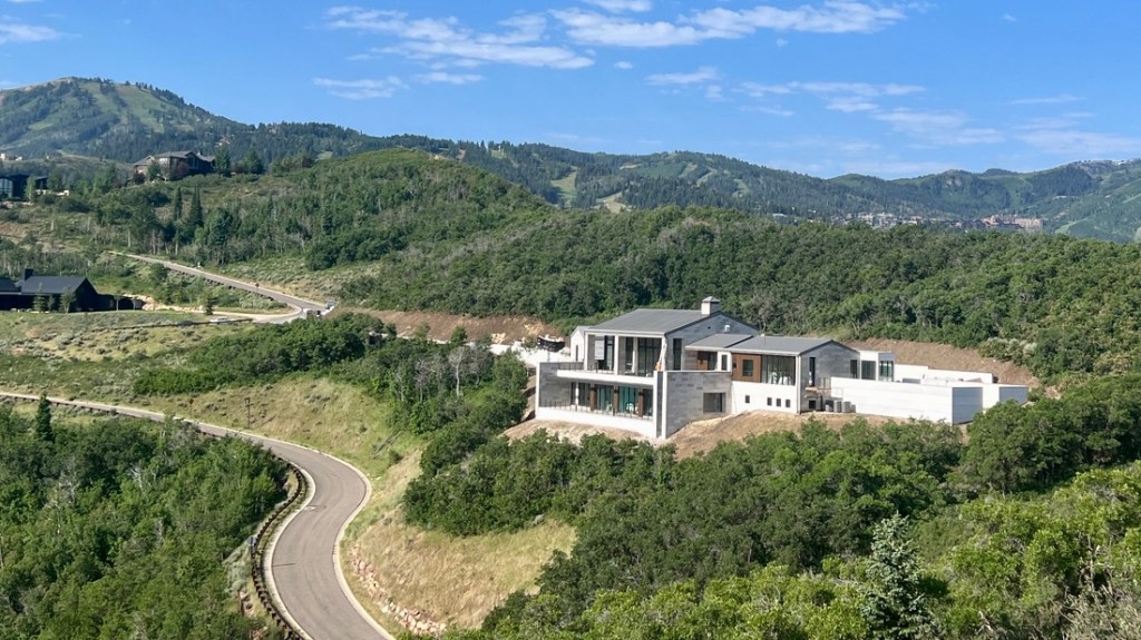
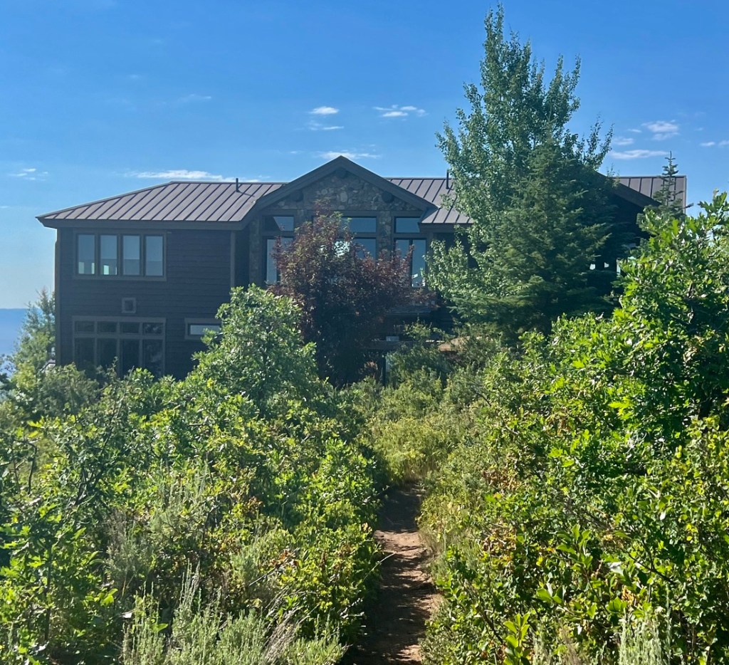
As we were in Park City for a wedding, a hike was in order. One family member had some sore chest muscles which is a symptom of altitude sickness (AMS) which suggested the Blood Lakes Trail at over 10,000 ft was unwise. The Solamere Trail, just north of the St Regis, seemed appropriate at 2.6 miles with 374 ft gain, and it proved so. With Park City at 7000ft, we were already pretty high. The bonus for this loop was that some of us were staying close to a side trail that accessed the loop from Queen Esther Drive so we had easy parking.

This is our route. The only issue was on a summit which I discuss below.
I like this CalTopo map of the trail as it shows the detail.
This 3D rendering from AllTrails highlights how we walk around a hill. There are great, contrasting views on each side.

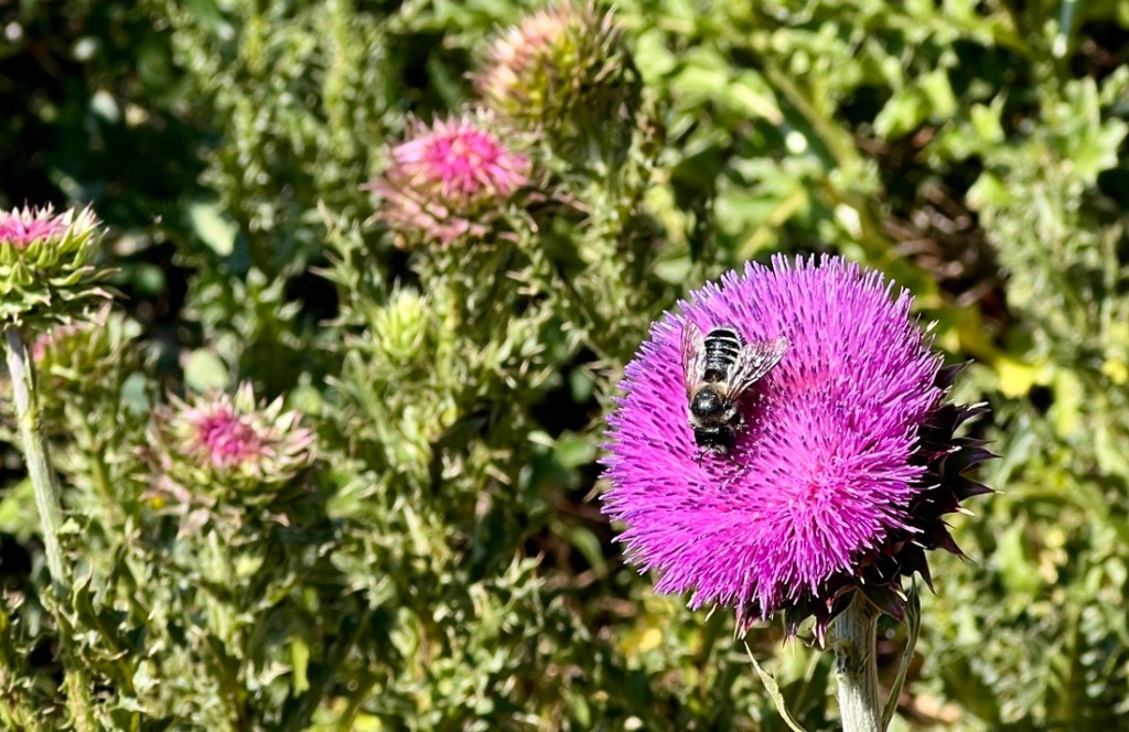
From the house where we parked, we walked about 10 yards on road before joining the connector which took us up steeply to the path. It certainly got the lungs and heart going. We started before 9am as we had learned it got hotter later, and it would have been nicer to have started earlier. Others had seen a moose with babies by a house on the road. We immediately spotted lots of wildflowers (photos later) and lots of birds (too fast for photos).

This is where we joined the main trail and most of it was compacted dirt. The signage was warning signs mainly.

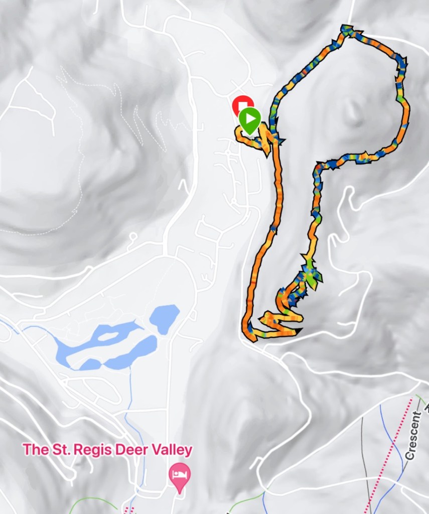
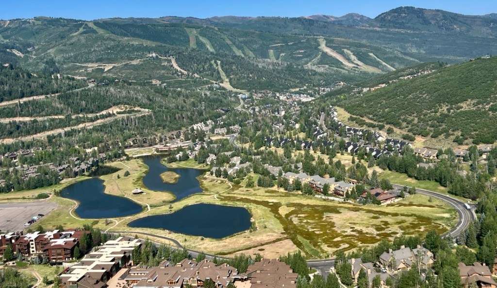
We hiked the loop clockwise, with the first stretch going north while looking across the valley toward Masonic Hill where we spotted another family hiking.

Our gang, with ski slopes on the mountain behind us.
There wasn’t much trail signage but there was only one trail. Well, until there was a fork…
This nettleleaf giant hyssop was new to me. Kylie mentioned you can make medicinal tea with it but we were not going to try.
Some blue hyssop growing across the trail with some white lupins that were not flowering yet.
The yellow salsify, an introduced species, looks very cool as the flower sits on the top of what looks like a simple blade of grass.
As we looked across the valley, we could not miss this grand house. We had mixed feelings seeing such disruption to nature. While not natural, the ski slopes are not either, and that is what Park City is known for, and this is not wilderness.

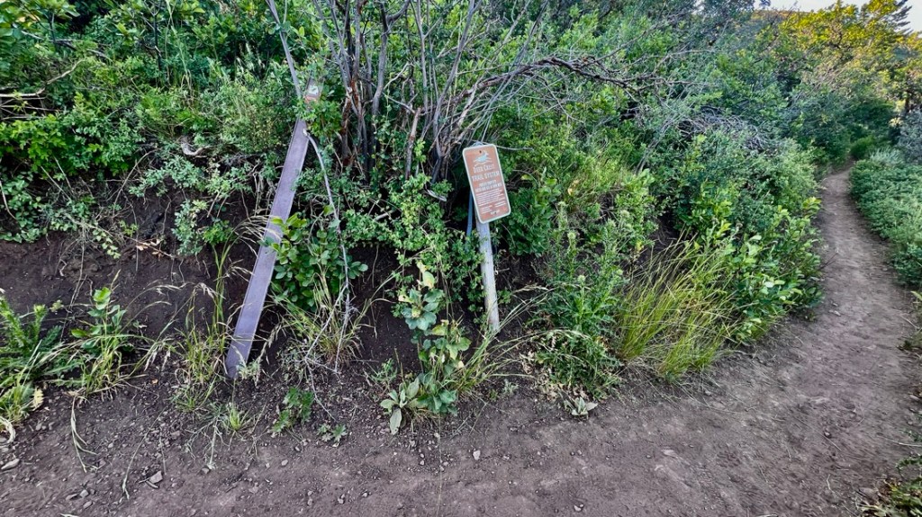
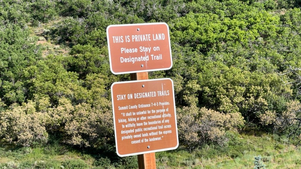
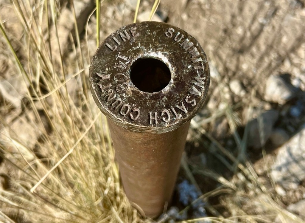
The trail surprisingly emerged onto a road at its northernmost point, but a quick look showed the next section of trail with its warning signs.

After turning the corner, we met some pleasant dog walkers (with pleasant dogs too!). There was more shade which we appreciated as it was getting hot.

A geranium. I did not dare stop too often to take photos.
When there were breaks in the trees we could see a long way east toward Jordanelle Reservoir and Highway 189
There were many beautiful thistles in bloom, with a leafcutter bee enjoying this one.
After turning a corner and looking southwest, we saw this house being built. We all agreed this was too much with zero attempt to blend in. However, we do not decide such things. We walked on the ridge just behind it.
We had frequently heard rustling in the brush and we finally saw this tiny rabbit that stood still long enough for a photo. We also saw a chipmunk but he was too fast!
We did not see any moose, but they are around!
Janet and I are looking for a place where we can have a good walk from the house. A trail from the back door seems perfect, but this house showed us the potential lack of privacy.
And then we made it to the top! This post also marks a county border.
We have to get the family photo!
A view from the peak of the Deer Valley Meadow ponds. There are lots of ski slopes on those mountains!

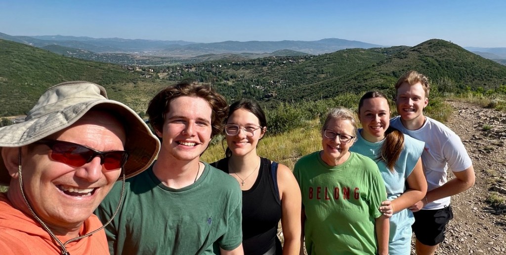
This is where we went a bit off trail. I say “we” but must admit that everyone followed me. When on the main path below the summit, there was a fork. The AllTrails map suggested this was a left turn with an unmarked trail going right. The “unmarked” trail looked more like the hard packed dirt that we were used to, but I put that thought aside. So we turned left which took us to the summit. After spending some time on the summit, my iPhone GPS indicated that we were on the AllTrails track, even though AllTrails and CalTopo both show the trail not reaching the highest point. So, we left the peak going southwest and the “trail” rapidly deteriorated. Half way down a rock scramble, it was noted that there did not appear to be a trail at the bottom. So Samuel went ahead and bushwhacked until he found the trail, made easier by a group that was ascending. So we turned around and headed back to the above-mentioned “fork”.

The map shows the side excursion off the main trail and it is best to return to the main trail!
Even after a dusty and sweaty three-mile hike, Bailey can still show off her style!

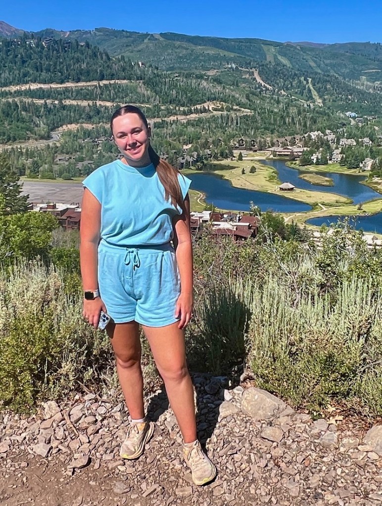
We completed the loop in about 1.5 hours. My Garmin indicated 3.2 miles but it probably reads high. It was already getting uncomfortably hot at 10am so we were glad to get into the shade after a very enjoyable hike! Park City is not normally so hot, though I expect the trail is often as dusty as our shoes showed.

Published by Peter Ireland

"Cajunlimeys" combines Lousiana (Janet) and England (Peter). For "limeys," check out scurvy in the English navy. We love adventures and use blogging to write a photo diary to preserve our memories. Some crazy friends enjoy following us and my notes might help others plan.

Leave a comment for the Cajunlimeys