
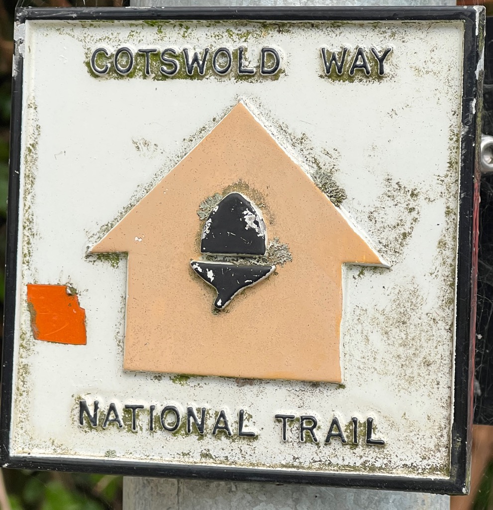
Bus times caused us to try a section “backwards” which was fun over a great stretch of the trail.
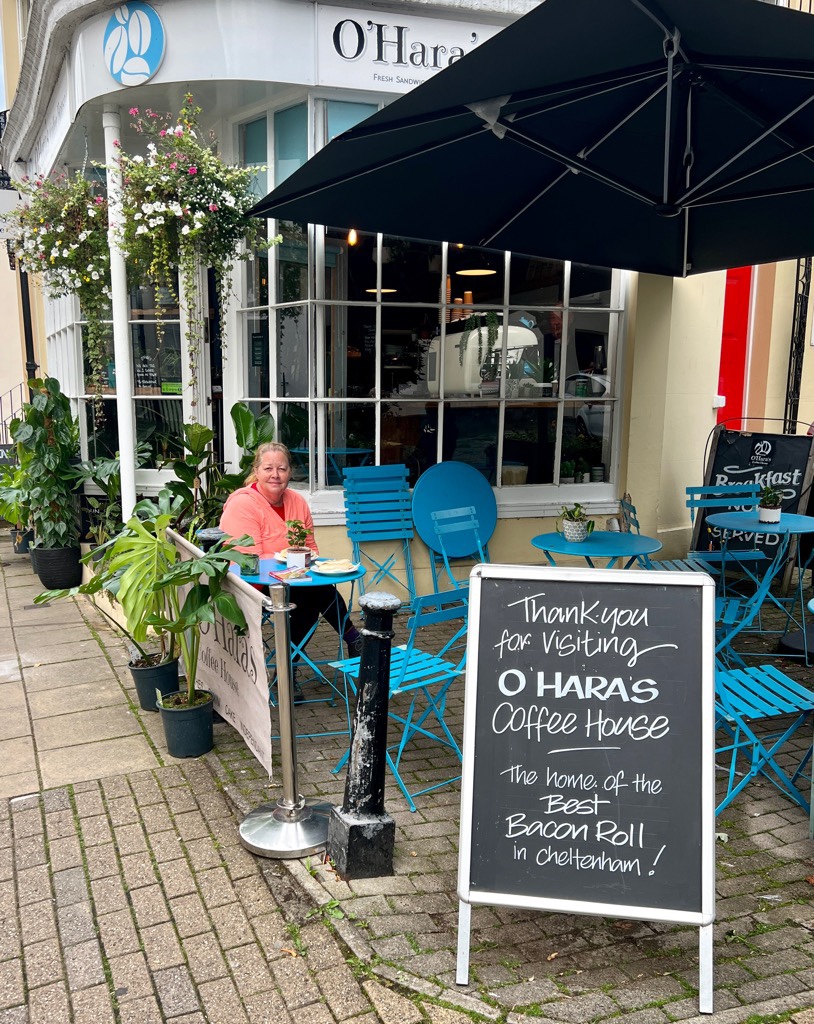
Getting back to Crickley Hill, where we left the Cotswold Way yesterday, would have needed a taxi. We were planning a shorter day today and were not set on continuing from where we left off. We investigated Cooper’s Hill to Painswick which looked exciting, though the buses worked best if we did Painswick to Cooper’s Hill, so we did. Google Maps is great for bus routes and times, and never let us down. We took a direct bus out to Painswick and found the village immediately charming. We could have got off the bus at the top of the hill into the village, but are so glad we explored the town, even though it was a hard climb back out. St. Mary Church, which dates back to 1040, dominates the middle of the village. And the narrow windy and hilly streets with cute coffee shops reminded us of the idyllic Cotswold towns earlier in our walk.


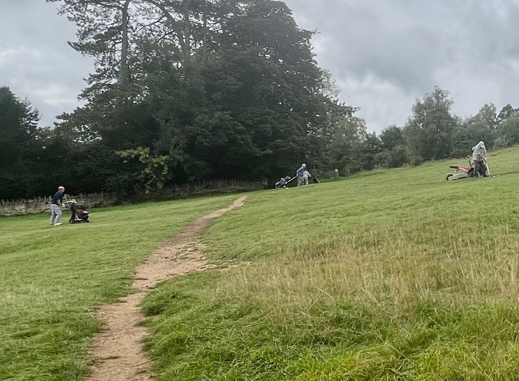
The climb out of the village led us to a golf course. We seemed to be walking through the middle of multiple games of golf, and the course seemed to go all over the place. The trail didn’t take us to the edge of the escarpment here at the Painswick Beacon, and we didn’t detour.


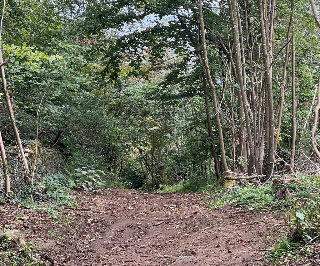
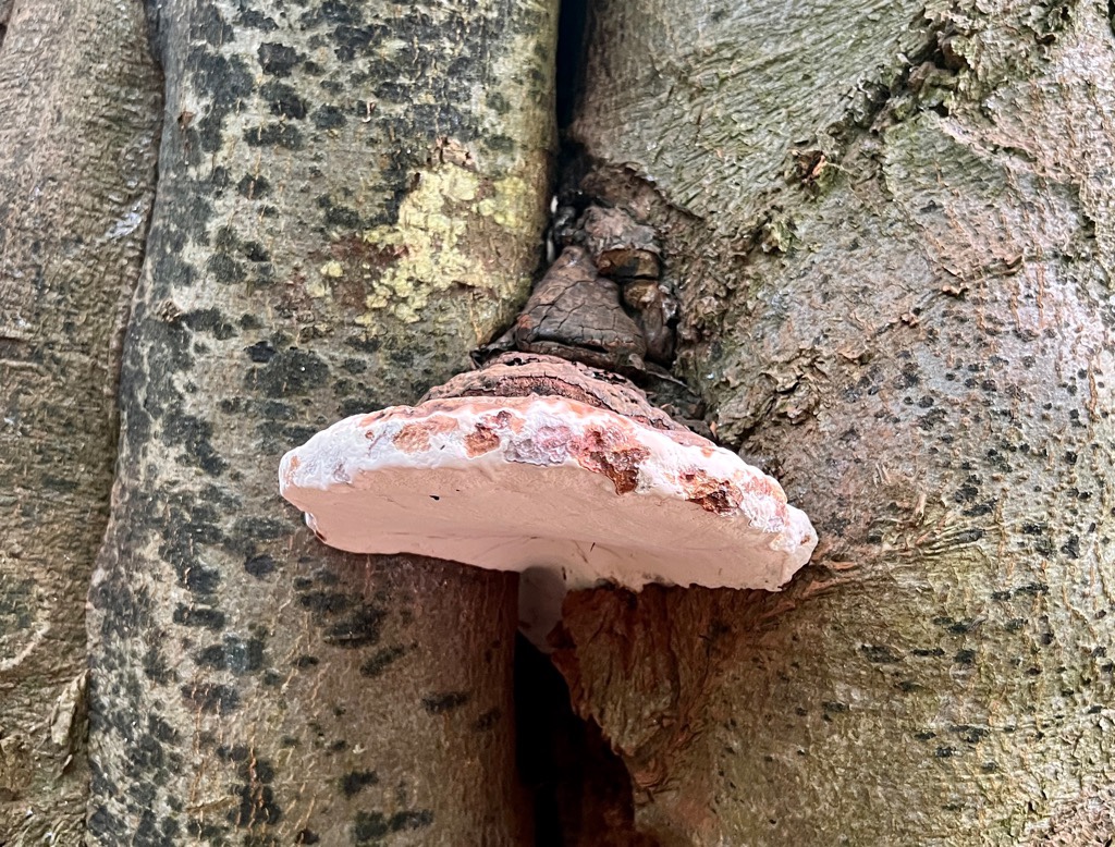
Today was a day of undulating. Up, then down, then up, and repeat. The trail took us through a lot of really cool woodland.
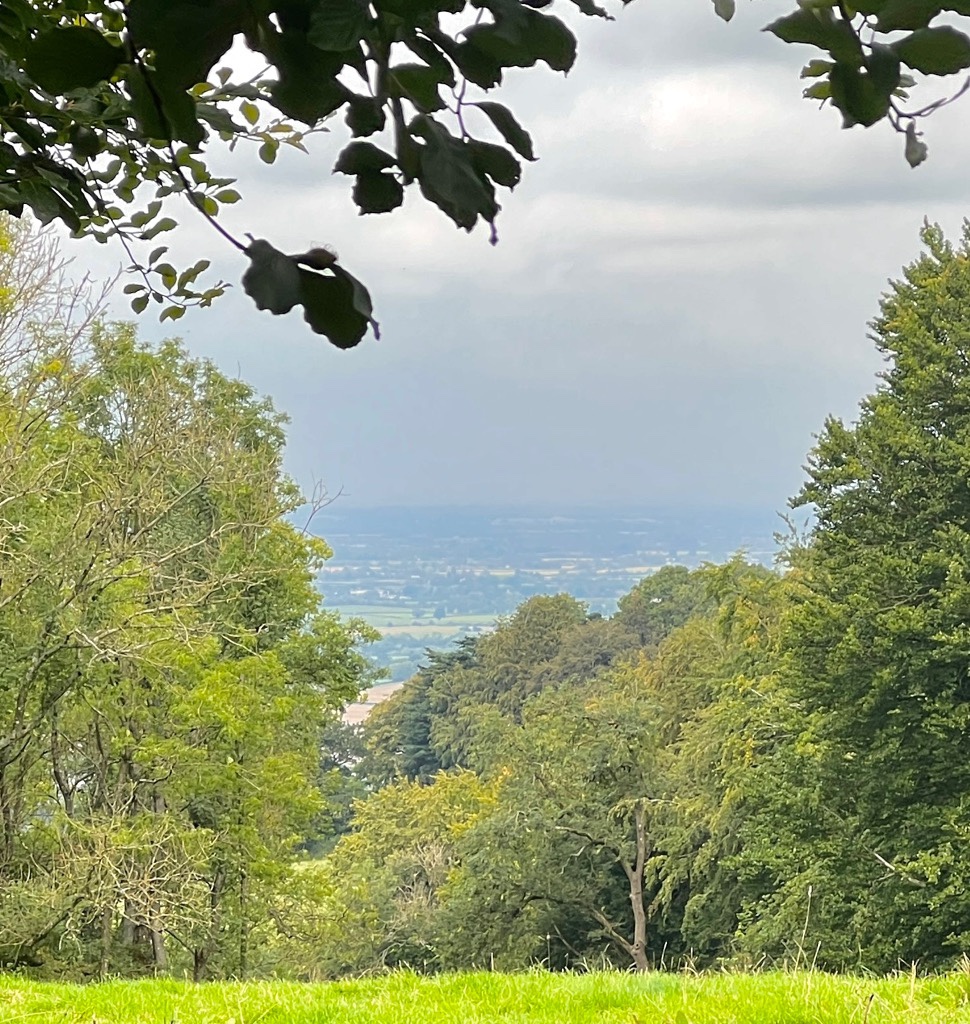
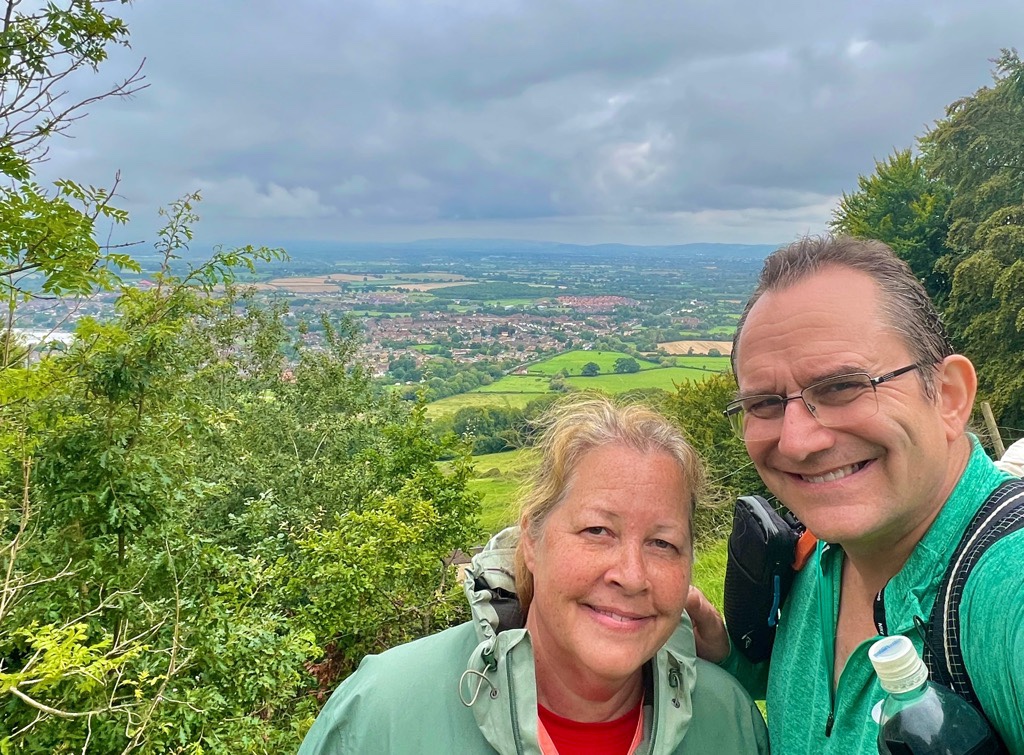
We entered an area called Cooper’s Hill, but it was another mile until we got to what we’d describe as Cooper’s Hill. We chose not to take a path to look at Prinknash Abbey. Soon we arrived at the top of Cooper’s Hill and enjoyed our lunch.
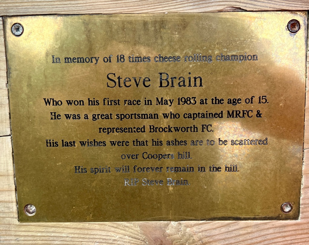
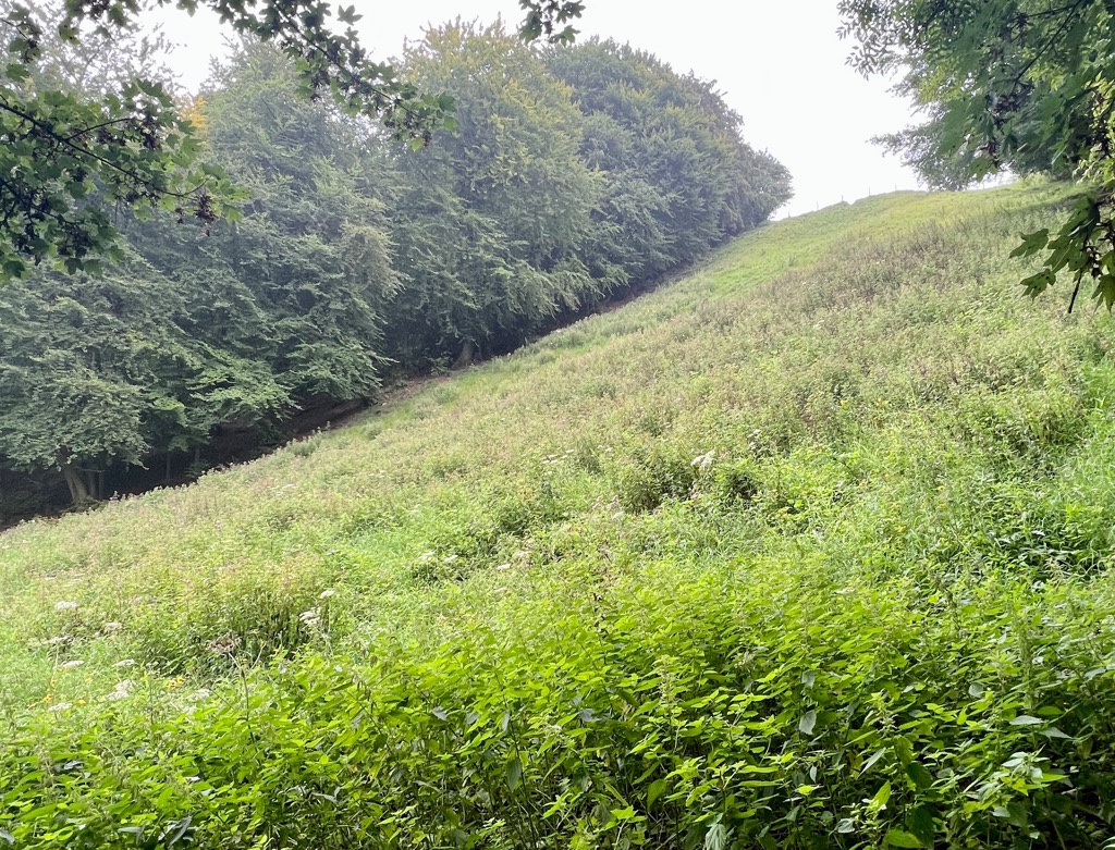
Yup. Cooper’s Hill is famous for cheese rolling. Or whatever you might call this:


Our plan was to leave the Cotswold Way for the last time this trip at Cooper’s Hill and head to the road for a bus. I’d used the OS Map to plan today and the mileage was much more accurate. However, at the bottom of the hill, we saw a footpath sign that indicated Brockworth was only a mile away. The original bus plan had involved changing buses at Brockworth, so we decided to walk and it saved us about thirty minutes, as we caught an earlier bus back to Cheltenham.


Today’s Relive:
Today’s stats:

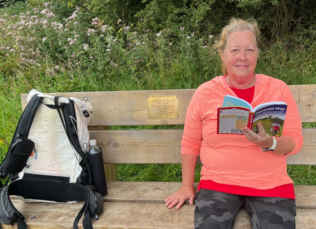
5.9 miles in 2 3/4 hours with about 900 ft of climbing. Goggle Maps did very well with helping plan our bus routes, and bustimes.org was great at tracking where buses were in real time. The Trailblazer guide to the Cotswold Way was great, though the OS Map App is invaluable for checking additional details, for going off trail, and for estimating distances.
That was the end of our five days of walking the Cotswold Way. Our bus back into town, followed by the train journey to our Manchester Airport hotel were smooth. Our calves ache, but we are already planning our return to hike more trails like this.
I will be writing a summary and reflection about our Cotswold Way experience in about a week. So look out for it and subscribe at https://cajunlimeys.com/subscribe/. We would do it again, with some changes…

Thanks for the stroll. It’s been beautiful! Mel
LikeLiked by 1 person
I’m so glad you enjoyed it!
LikeLiked by 1 person
I am thinking/planning a double whammy – Hadrian’s Wall one way and then Coast-to-Coast the other direction. If only I could score your weather! Mel
LikeLiked by 1 person
Cool! It always seems the school summer holidays are the wettest. If you avoid those (July and august), you stand a better chance! That would be a cool trip.
LikeLiked by 1 person