
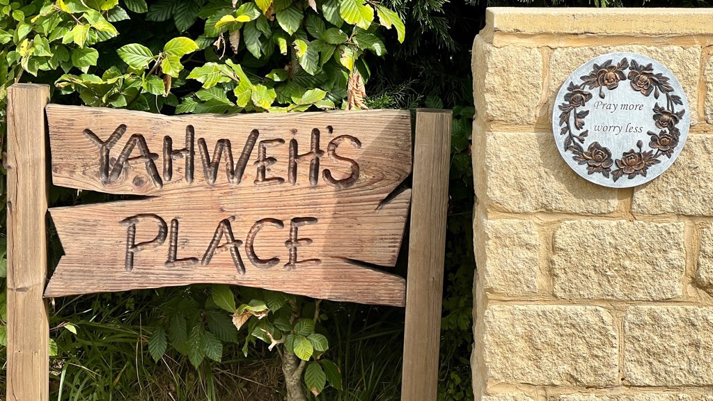
Neither our starting or ending points were on the Cotswold Way today, which reflects the logistical challenge. My gratitude for the feedback I get from y’all, either in Facebook or in the blog itself, is reflected by my writing this. As today was over 15 miles, I’d certainly prefer to be napping. Hearing Janet’s snoring makes me sleepy when it’s only 4pm. But knowing I have expectant readers obligates me to write!
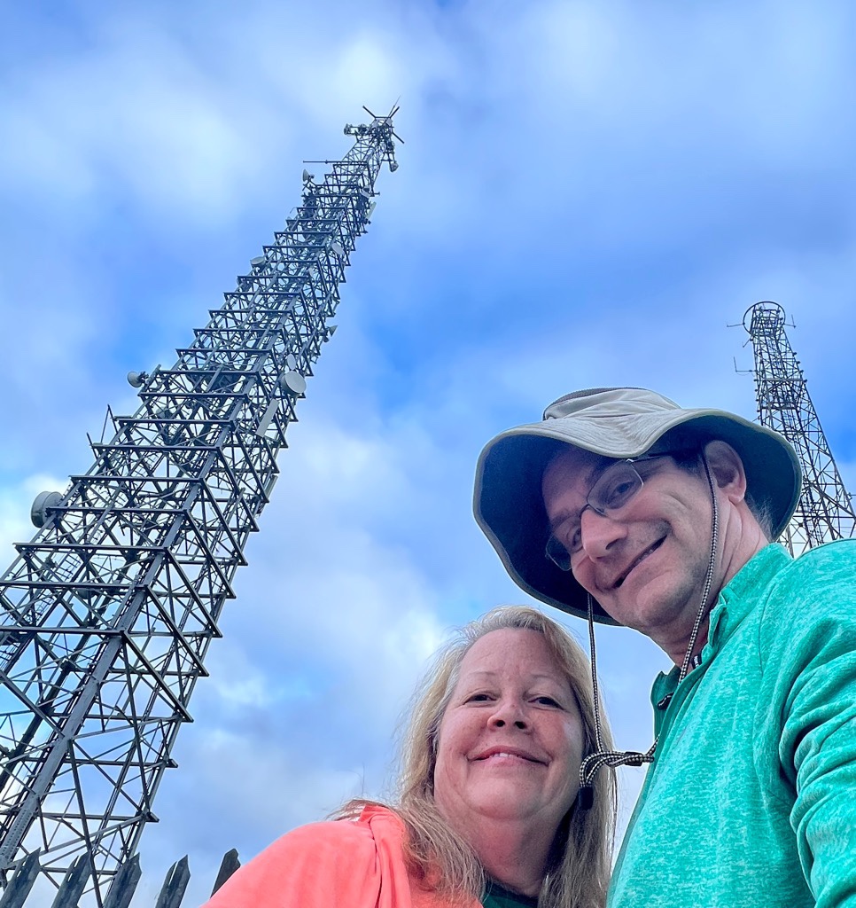
With some challenges getting both to and from the route today, because of where the route is and amplified by it being a Bank Holiday (with reduced bus services like Sunday), we’d considered doing something further south around train stations. Again, the flexibility made a choice more difficult, so we just kept it simple and started close to where we had finished yesterday. We had left the Cotswold Way at the top of a cliff, so driving to that spot wasn’t an option. We found the Cleeve Hill Common Car Park not far from either the cliff or Belas Knap. It is right next to the three large antennas you often see, which worked out to be a great starting point. We prebooked a taxi for a 7am start and Starline Taxis were again very efficient. It took some effort to explain to the driver where we wanted to go but we made it by 7:30.
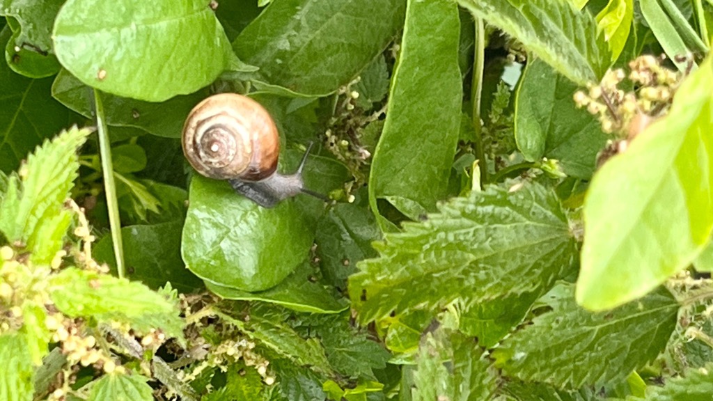
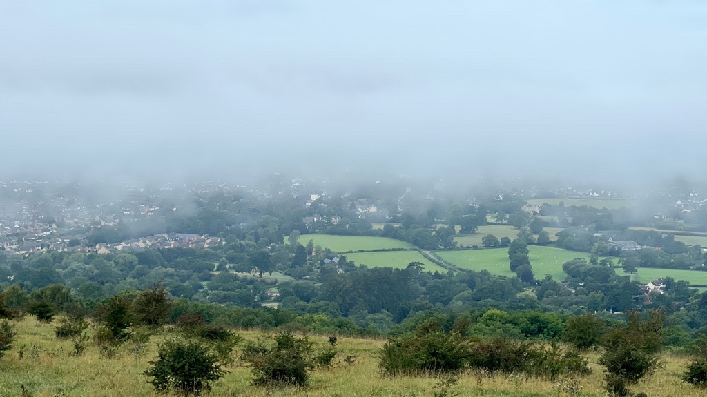
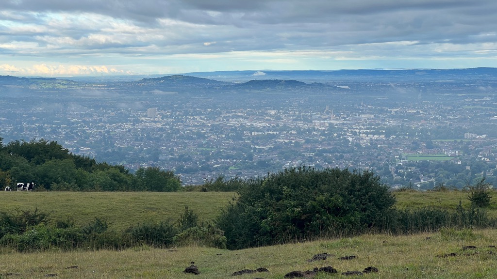
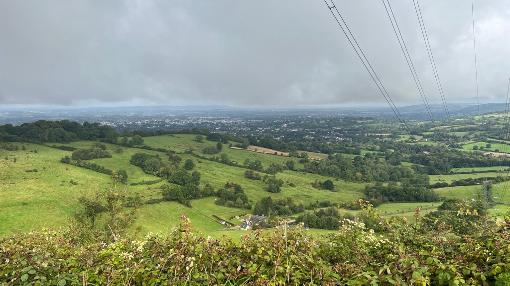
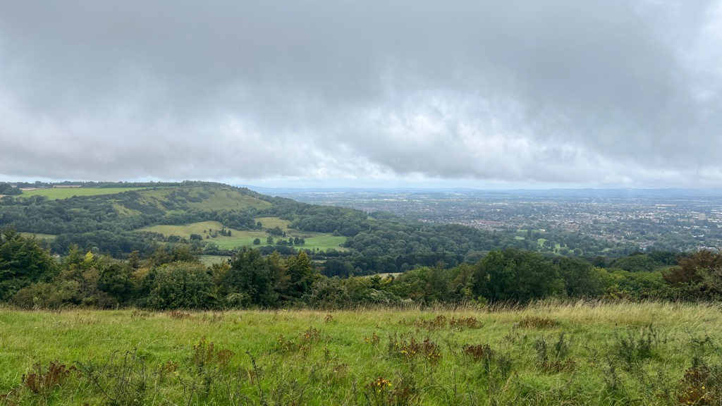
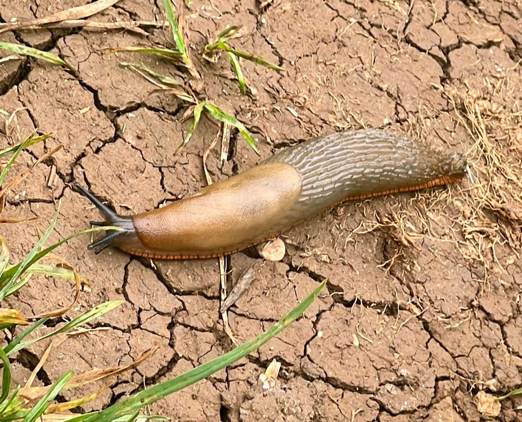
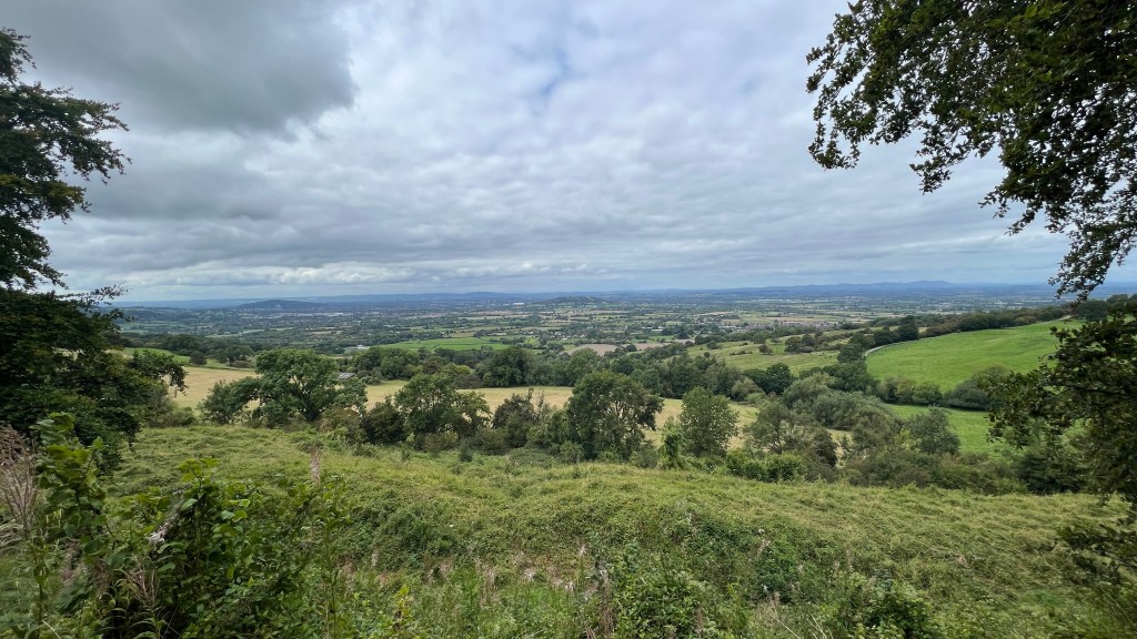
There was early morning low cloud which intermittently surrounded us. Perhaps the lack of view helped us see other smaller things. Soon the cloud lifted and the tremendous views opened up again as we hiked along the edge of the escarpment.

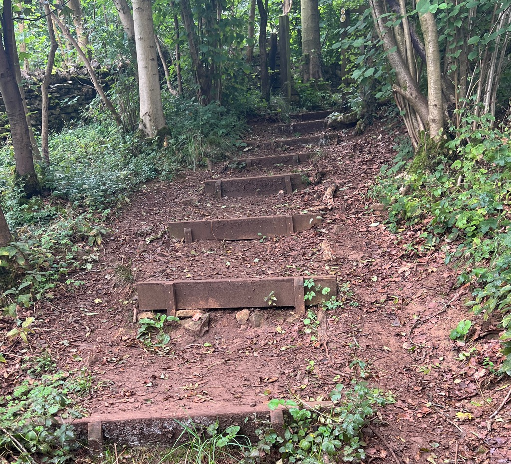
We rejoined the Cotswold Way and continued toward Dowdeswell Reservoir, which unfortunately we couldn’t see, but it has an impressive overflow (which unfortunately I didn’t photograph.) Crossing the A40 wasn’t too bad and I expect it would be quite hairy on a regular weekday as the crossing point is on a bend. We then climbed up through some Woodland Trust woods which were very nice, and then continued on to Seven Sisters.

As we headed down to Seven Springs, we knew there would be a climb, but the prelude of the view encouraged us. We made it to the top and enjoyed our lunch while sitting on a well placed seat. The rain continued to come and go, with some wind. Janet was feeling the cold so we had to keep moving.


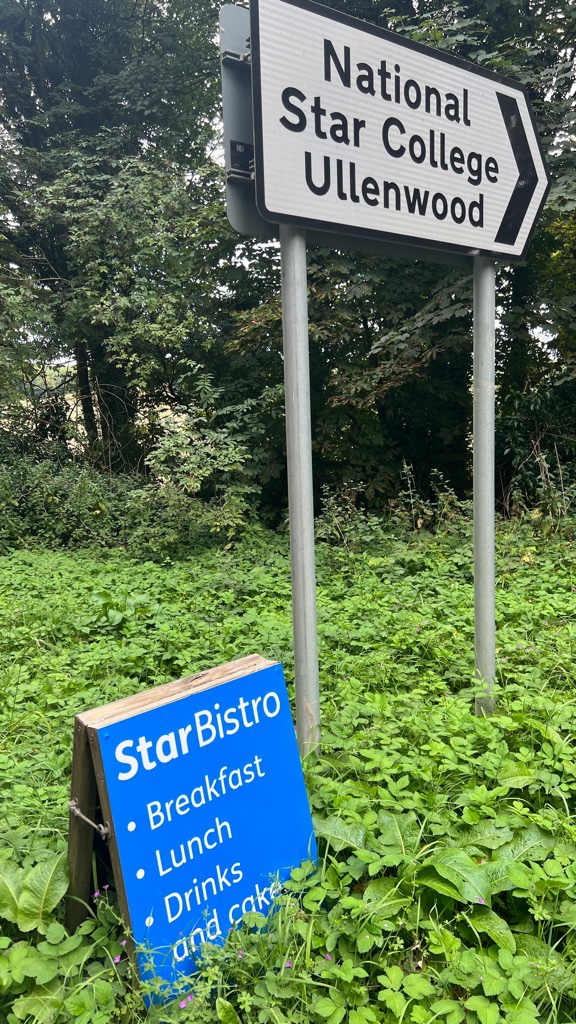
From Leckhampton Hill, we headed down to Ullenwood. There is a cafe there at a school for the disabled, and we were disappointed it was closed because of the bank holiday.
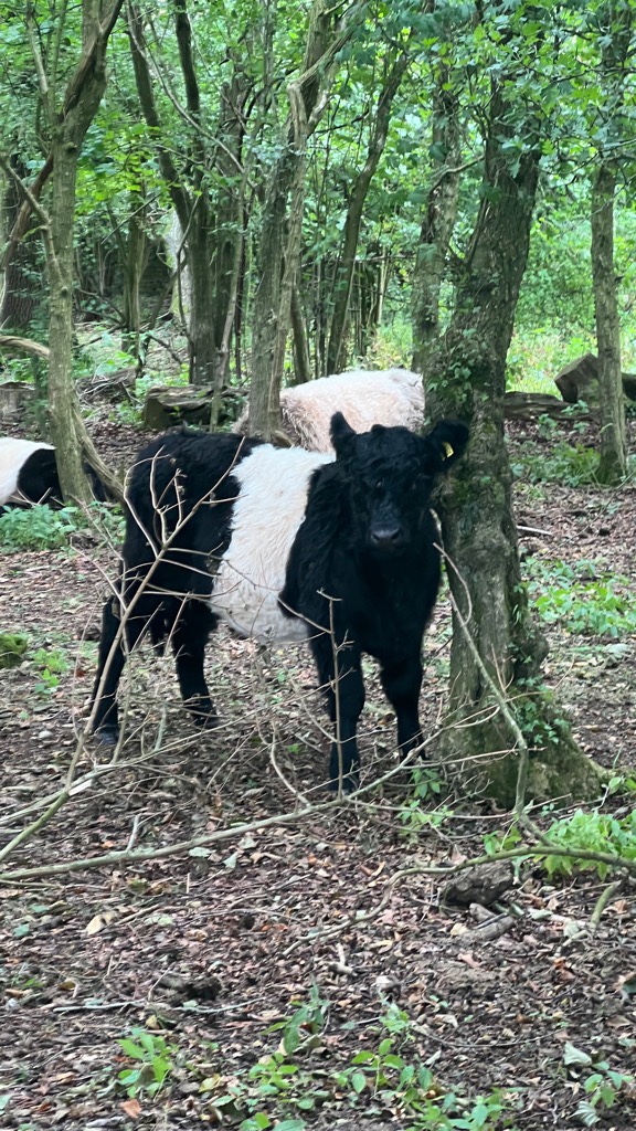
Ullenwood also marked our 11 mile mark, and our original plan. We could try to call for a taxi, or walk a couple of miles to catch a bus from Shurdington. Or, keep going. Cooper’s Hill is on the Way and close to a bus route that was operating. An optimistic estimate put it at 5 miles away, so we thought we’d keep going. Once again, the views opened up magnificently. Then, we were treated with some baby Oreo cows! Yes, I know I should call them Belted Galloways that are especially good for chocolate milk….
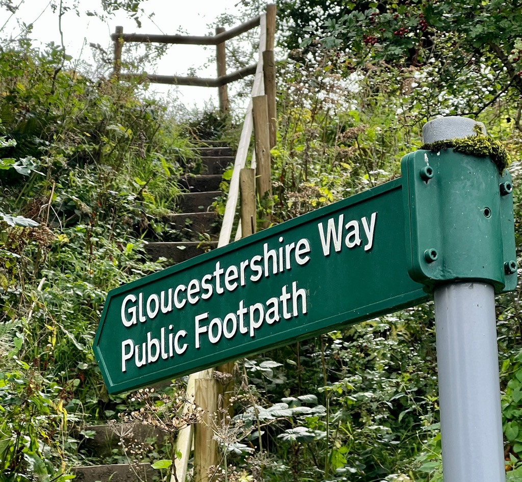
At the top of the hill was the Crickley Hill cafe. We sat down and realized that it had been a mistake to carry on. The cold might have been getting to us, and perhaps lunch was not sitting well. Or perhaps 13 miles is just enough. Also, it seemed that it was still five miles to Cooper’s Hill! While our guidebook shows Crickley Hill has a bus stop, we could not find any service. However, Shurdington has buses to Cheltenham every twenty minutes, so we went for that. The map showed the Gloucestershire Way went that way, but it was a lot less developed than the Cotswold Way. We walked about two miles to the bus stop and were soon on our way back to Cheltenham.


Today’s relive:
Today’s stats:
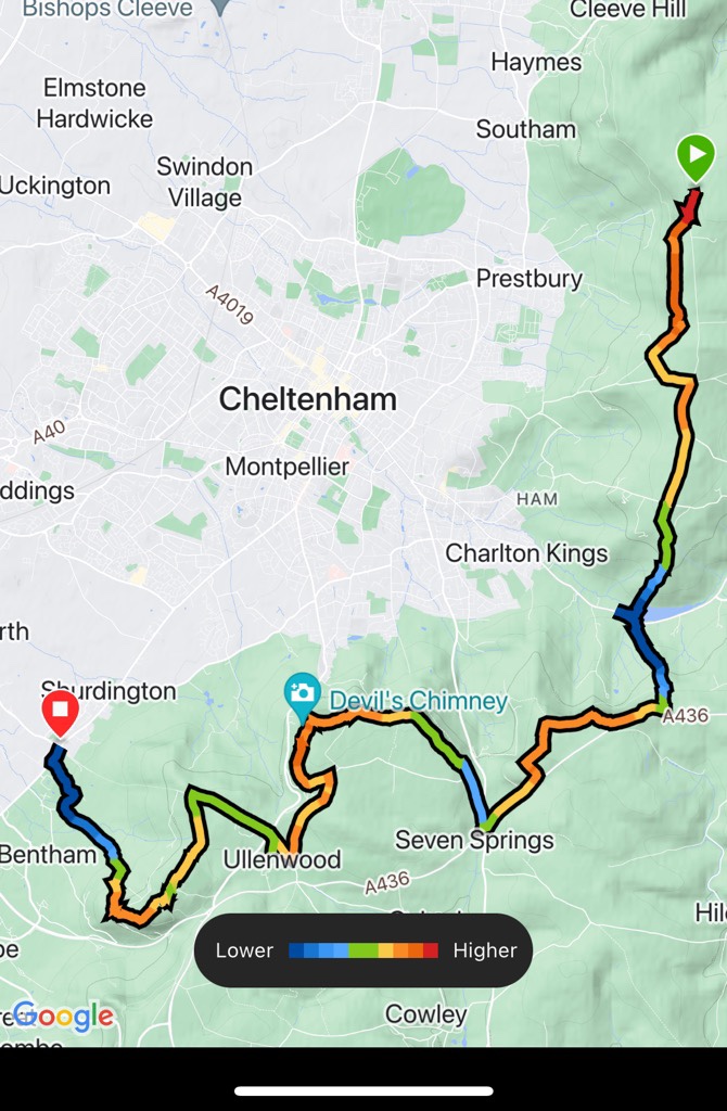
I love that the map shows how we walked around Cheltenham. That made this a truly great day. 15.3 miles was long and we need to be more conservative in future. While we climbed 1600 ft, we dropped 2400 ft as we started high, and downhill can be more tiring. We hiked for 6.5 hours. It was great to start early and get so many miles behind us in the morning, but I think it gave a false sense of remaining energy which caught us out. I am sure we will be ready for more tomorrow after a good night’s sleep. We just need to decide where!

Interesting!
Sent from my iPad
<
div dir=”ltr”>
<
blockquote type=”cite”>
LikeLike