
We knew we had to hike over 24 miles in the next ~24 hours to meet Paul. Our plan had been to stay night 6 on the shores of Twin Lakes, close to the CT/CDT trail split, but I was unsure we’d get that far. It was an option, but in the end we chose to shelter from a storm at Clear Creek and found a great campsite at Cache Creek, leaving a 6-mile hike on day 7. Having hiked out, the Cache Creek campsite was a great choice for solitude, with a lot more people on the shores of the lake. This was day 7:
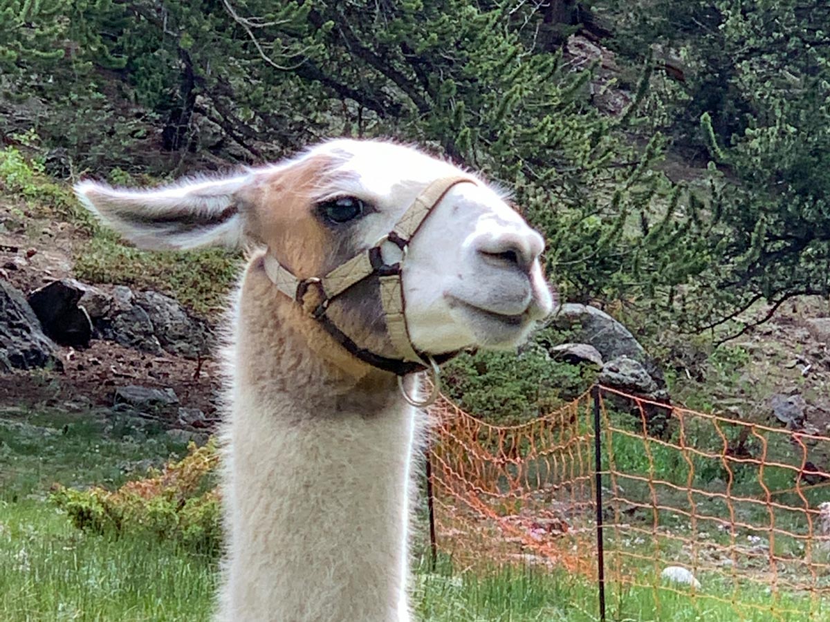
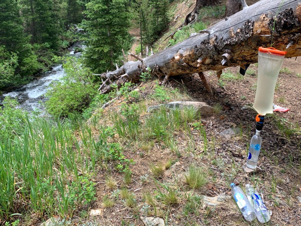
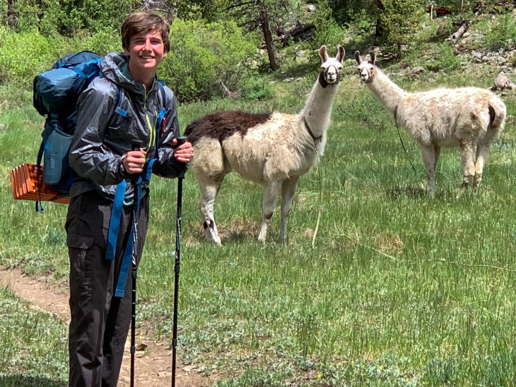
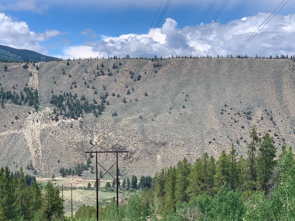
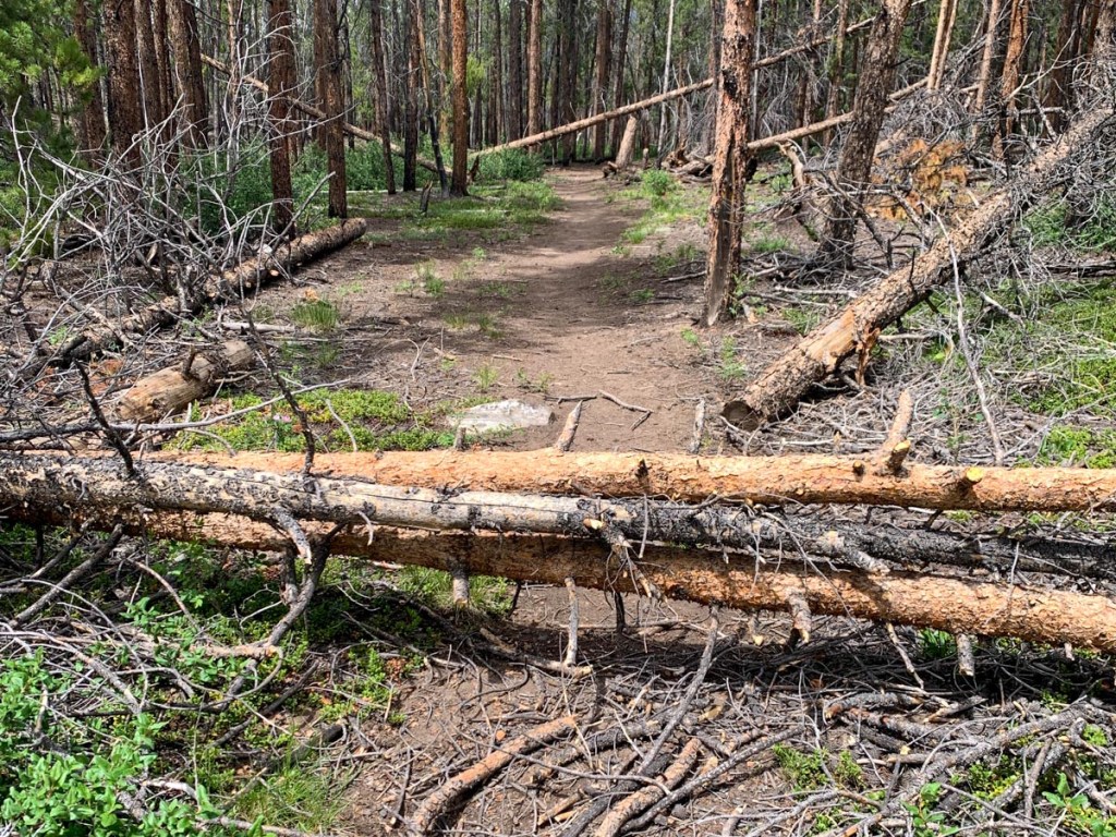
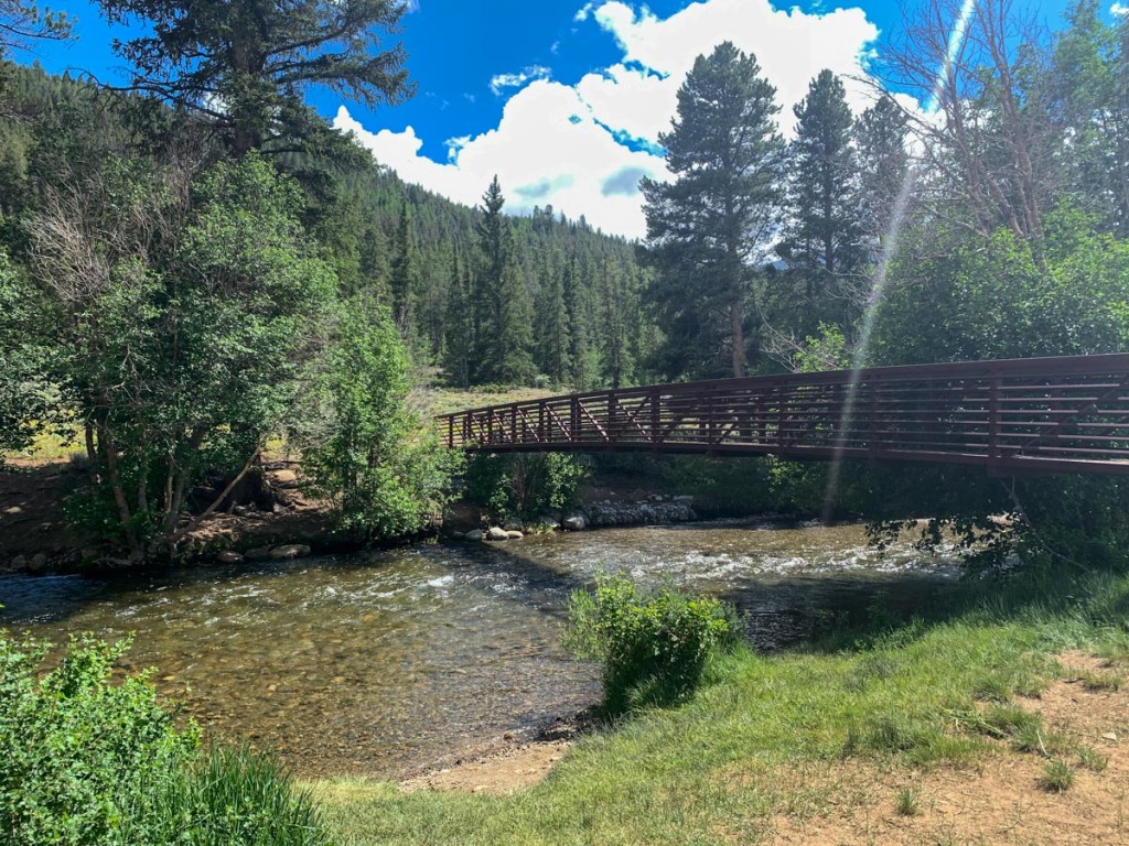
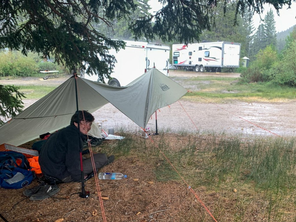
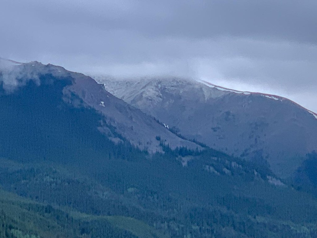
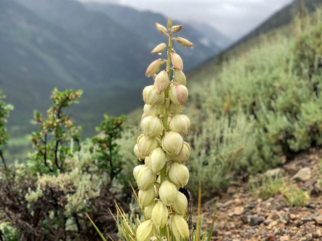
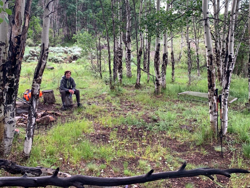
Alarms went off at 4 but we were slow to get going. Enjoyed breakfast, packed up, and hit the trail at 5:50. No need to collect water at the closest river so we set out on our 18 mile day. The first three mile March was to Frenchman’s creek which was our original plan for night 6. The bridges were dodgy on the rivers. We met a lady with her son and a younger friend who were scouts and compared experiences. They were just section hiking for the weekend and were going to bail at Frenchman’s because rain was forecasted. We carried onto Pine Creek where we laid down for a snack and met Kent and his two llamas who had just started the Collegiate Loop but were taking a rain day. Kent had previously completed the CDT with his two llamas over five years and encouraged S to make the most of this time with his dad. We filtered water and plodded up the side of the valley past some amazing beaver dams and mounds. It started raining but we hiked on. 1.5 miles up out of pine creek followed by 4.5 miles down to Clear Creek. On the way up briefly passed a couple of potential through hikers and near Clear Creek passed a couple of dodgy day hikers. Crossed Clear Creek which was flowing fast and voluminously and we found a large tree to shelter under but it was a bit chilly in the shade and a bit warm in the sun. We dried everything out and were preparing dinner at about 3 when the clouds started forming so we checked the forecast on Accuweather and set up our tarp in a different configuration. The hail and the wind and then the rain came but we stayed dry and P enjoyed his spaghetti and S enjoyed his fettuccine Alfredo and then finished off the snacks. It looked like there was a weather window at 5:30 so we packed up just as the rain stopped and headed toward the other side of the valley to follow the visible path. The flora reminded us of Big Bend National Park as there were flowering cacti. We were marching to get to camp before it started raining but couldn’t help stopping to admire the view back down the valley towards Clear Creek reservoir and up the valley to see more storm clouds forming and the sun shining and recently fallen snow on the mountain tops. We made the ridge and followed the power line to a creek and found a small campsite in an aspen grove. It was surprisingly uneventful but fun and not very tiring for 18 miles.
GPS Hiking stats:
18 miles, 8 hours 59 minutes
Ascent 4114 ft., Descent 5127 ft.
Campsite altitude 9371 ft.


This page is linked to from my Collegiate Loop home page.
