

This is the first of the daily journals from the Collegiate Loop which were written on the trail. I dictated to Samuel each night, who wrote it up on his phone which worked well. Well at least it did for me! Other than obvious typos, I have left the text as the original to preserve the ‘rawness’.
We had flown into Denver from Houston the night before and stayed at a Fairfield Inn hotel, which was the extent of our altitude acclimatization. I had previously suffered from altitude sickness so had prepared carefully focusing on caffeine- and alcohol- avoidance, hydrating with electrolytes, and taking prescription Diamox. The starting point of the loop and the direction was also chosen with acclimatization in mind, in particular “sleeping lower than the day’s highest” for the first day. This was all in addition to fitness training. Samuel did neither and was fine, though I had learnt previously to go easy on the first day. The altitude preparation worked very well, and I learnt later that caffeine triggers altitude sickness for me in a big way.
The evening’s memory is from our visit to the Texas Roadhouse. Samuel was still not very tall but he had an appetite. When waiting for a table, he noticed the 24 oz. steak on display in the fridge. It wasn’t on the menu, but our friendly waiter was happy to get it for him while hiding his skepticism that Samuel would finish it. Having brought out the food, the waiter returned to check on us after about five minutes, and the steak was already gone! It was funny watching the waiter’s expression evolve from being shocked to impressed. The thought of backcountry food for two weeks inspires the appetite, though I could not manage this!
Here is our story from the journals:
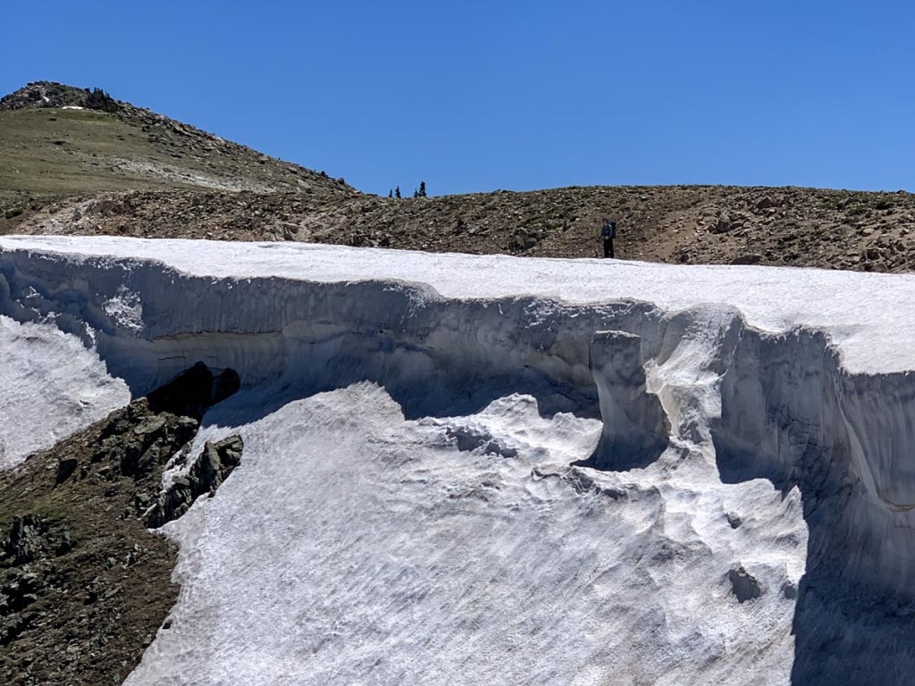
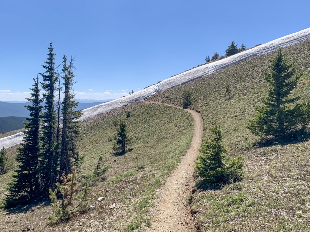
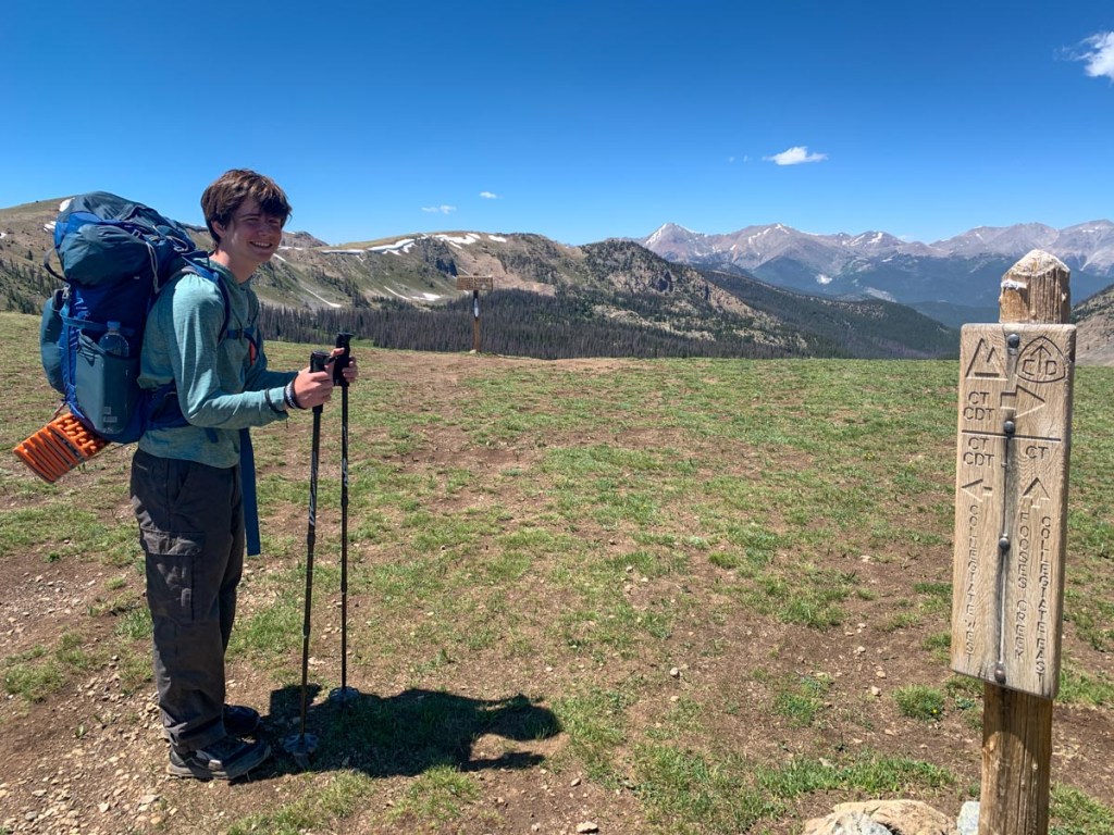
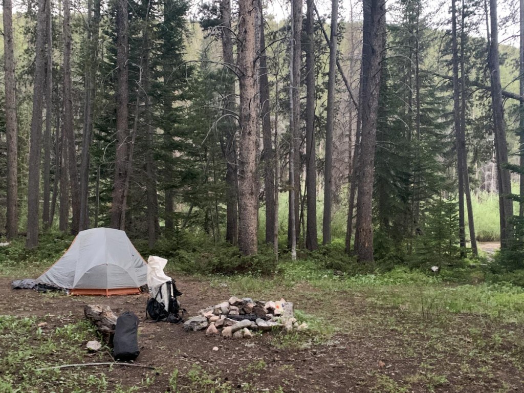
On the trail at 12:15 at Monarch Crest after leaving car. Steady climb for first five miles went from 11300 ft. to 11900 ft. Met friendly bikers and hikers including pilot who used to work for NASA who was stocking fish in a pond. Strong sun and wind. Still some cool snow. Both across the path which led to falls and cornices. Enjoyable lay down at the saddle then watched two mountain bikes skid down the path whom we followed. After a couple of miles passed a Colorado trail maintenance crew that were rerouting the path. Lots of moose poo but no moose (learning later it probably wasn’t moose poo…) Found a perfect campsite after a total of 10 miles. P gave his lower legs an ice bath in the river and S’s nose exploded. Gathered and filtered water and had an enjoyable chill dinner before hanging all smellables through fear of creatures and in bed by 8:30. S’s first time day one hasn’t been too bad. Thinking about how we can go a bit further the next couple of days but we will need to see. Luxury item for next time: extra spoon. Just one means you have to fight over who eats!
GPS Hiking stats:
12.3 miles, 4 hours 48 minutes (I think the GPS was overestimating on day 1)
Ascent 908 ft., Descent 2549 ft.
Campsite altitude 9800 ft.
The above map was created using our own track, recorded on my Garmin Instinct. For this first day, I tried a lower-power setting which led to the track bouncing around too much. I adjusted it on later days.

This page is linked to from my Collegiate Loop home page.
